The Arctic Ocean
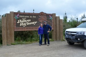
The Dalton Highway is one of America’s great adventure drives – from civilisation to the Arctic Ocean
In 1968 oil was discovered off the shores of northern Alaska. It was cold and inhospitable land, the oil was prohibitively expensive to pump out and transport to civilisation. Then the oil crisis emerged in the early 1970’s and America was thirsty for its own oil rather than depend on countries in the Middle East. Suddenly the untapped oil up in Prudhoe Bay was a bargain and they built an 800 mile pipeline from these northern reaches to the deep water port of Valdez on the south coast of Alaska. A rough dirt road ran alongside to maintain the pipeline and provide goods to the oiling community of Prudhoe Bay. That road was called the Haul Road and on a cloudy morning Julie and I headed north on this famous track in our quest to see the Arctic Ocean.
The Dalton Highway, as it is more commonly called today, starts about 80 miles north of Fairbanks and runs for about 414 miles (660 kms) north to the oil drilling community of Deadhorse. From there local transport takes intrepid travellers past the private oil drilling facilities of Prudhoe Bay to the shores of the Arctic Ocean.
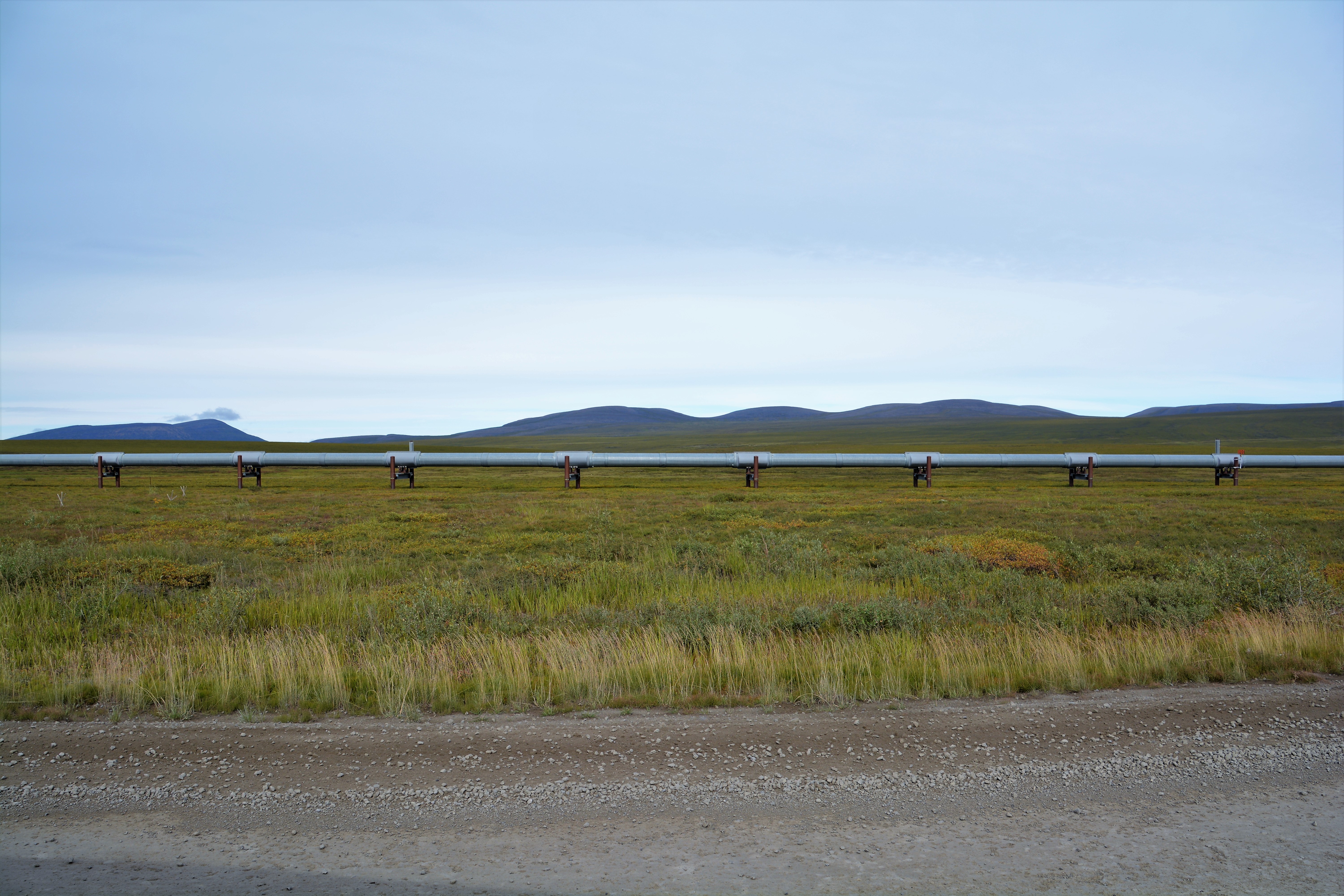
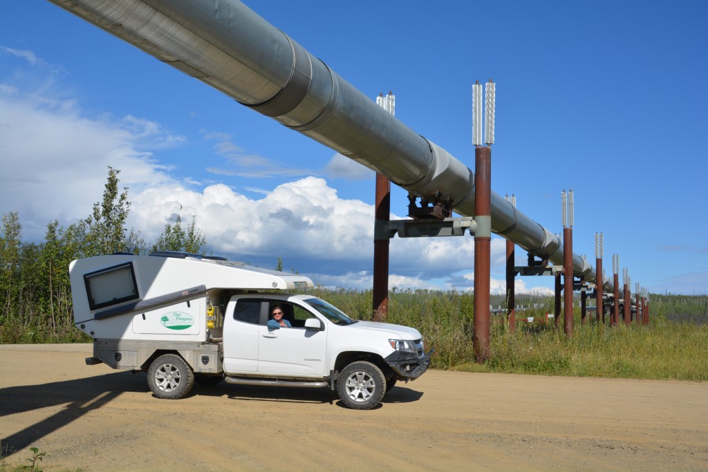
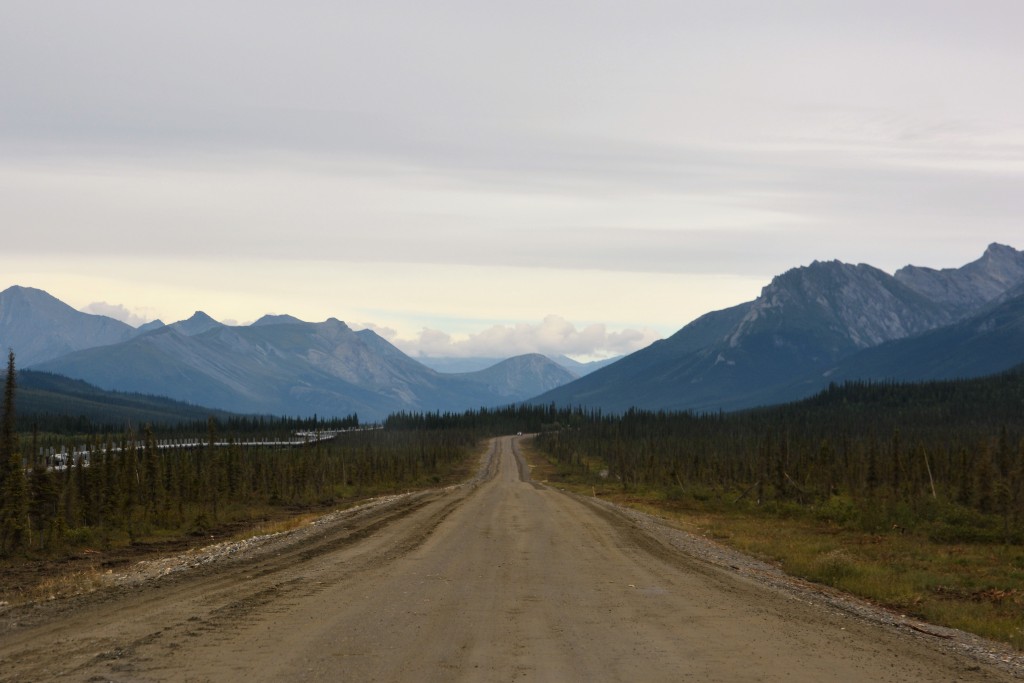
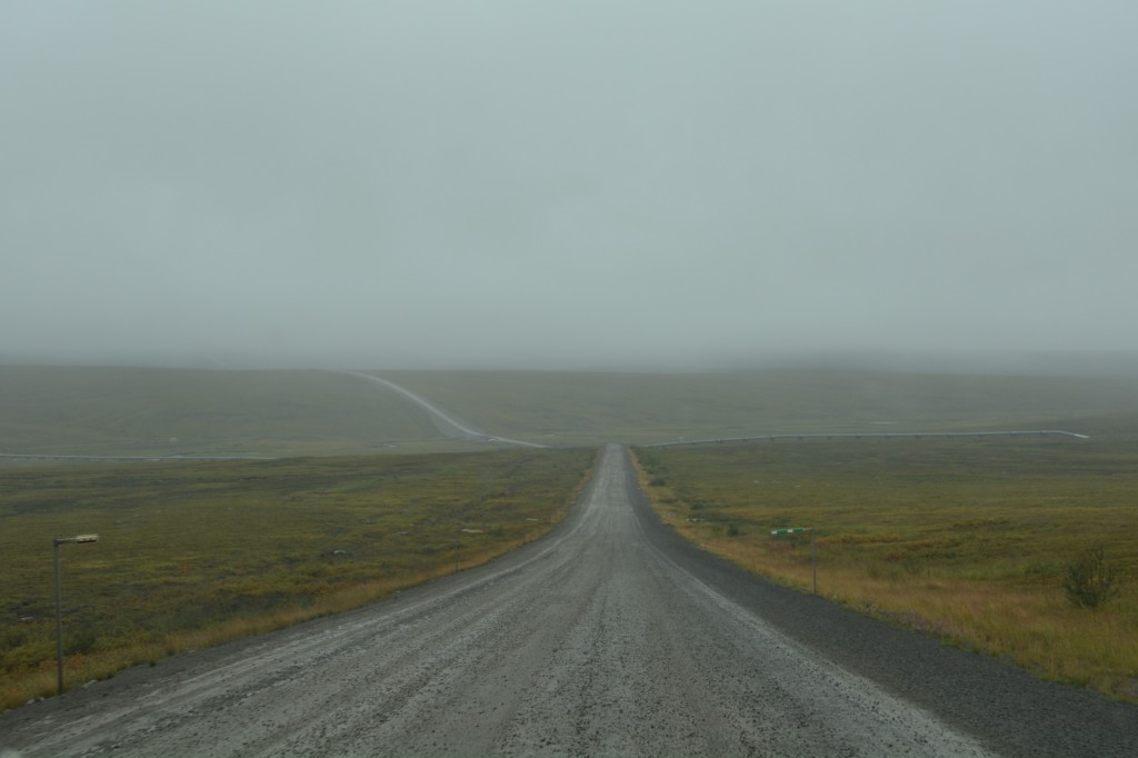
The highway is a mix of old potholed and permafrost-damaged payment and smoother all-weather gravel. There are only two fuel stops along the way and only one town – with the curious name of Coldfoot. The road’s standout feature is that the pipeline snakes its way across, over and through the various features of this remote barren land usually within eyesight of the road. The two cross over and under each other many times throughout the journey although it is clear the oil gets a smoother ride than the vehicles.
Julie and I followed the road north, stopping for some of the many expansive scenic views of this amazing forested landscape, meeting many huge trucks that have priority on the road and drive like they know it. In fact, the Haul Road was only opened to public traffic in 1994, prior to that it was exclusively used to provide goods to the closed Prudhoe Bay oil community.
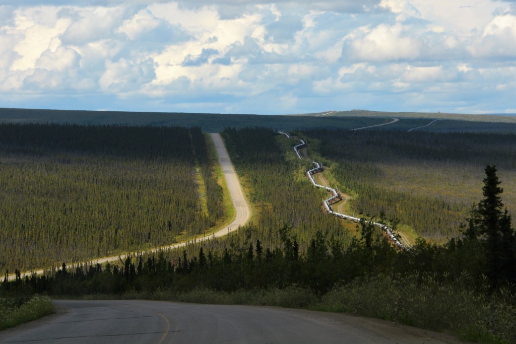
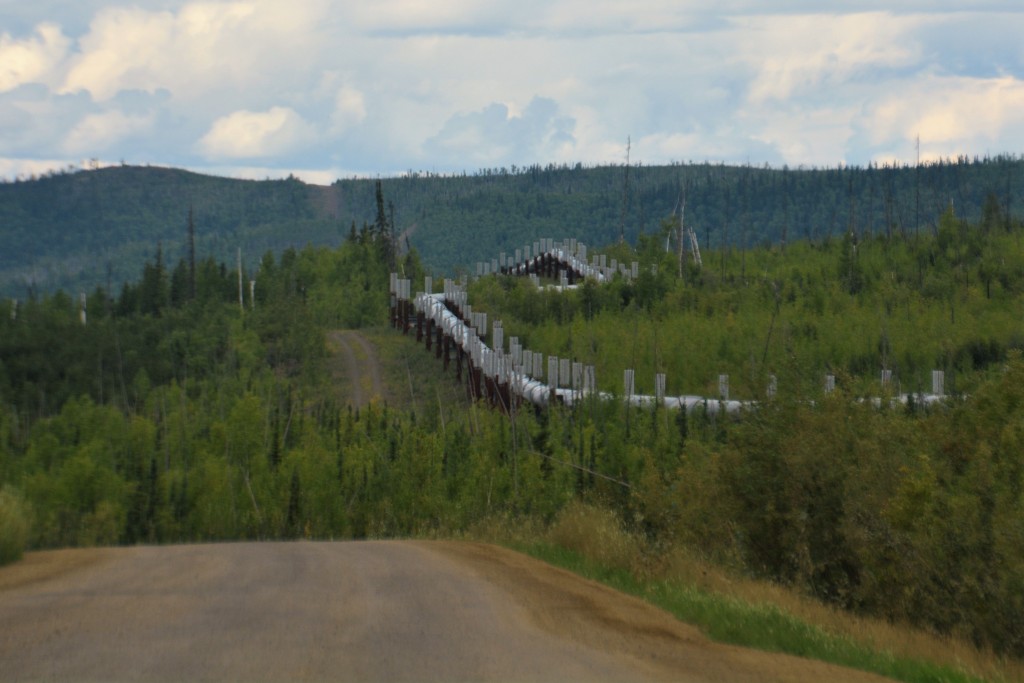
Some of the views were amazing and it was also cool to see how they built the pipeline to deal with local conditions
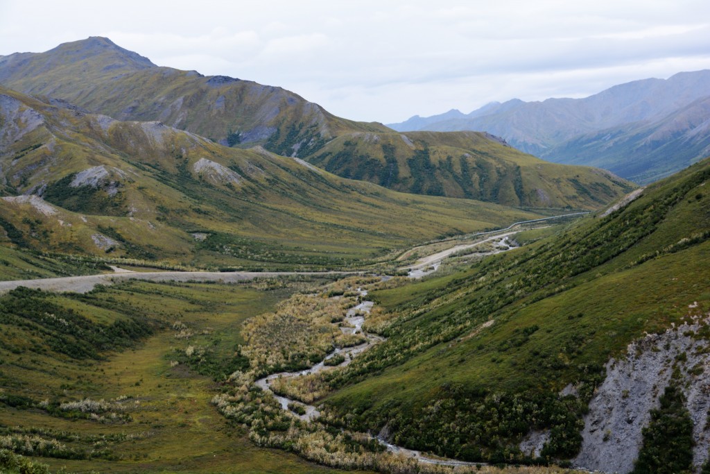
At one stage we could see the road snaking off into the distance along ridges and across valleys below us. We measured the distance of the road we could see from our ridge to the next ridge on the far end of the valley – it was an astonishing 13 miles, or 21 kilometres. Where else is that possible?
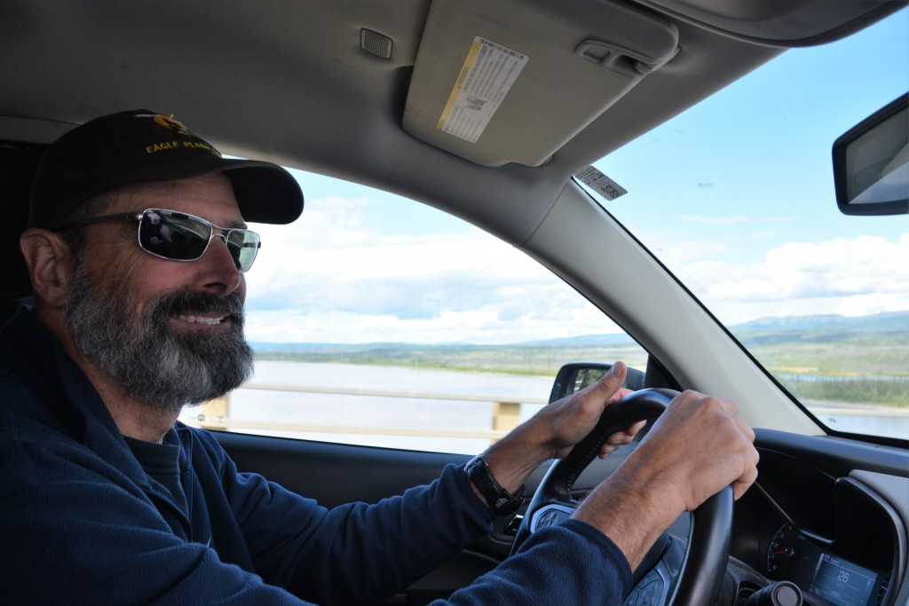
After a fascinating morning we came to the Yukon River, our old friend, and crossed the only bridge that spans the 2,000 miles (3,200 klms) of this amazing river. The Yukon is the 20th largest river in the world with a drainage area bigger than Texas. We have seen it many times on this trip but it is still an awesome sight and we took the chance to have our lunch on its banks.
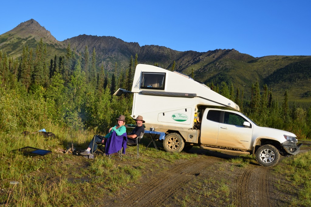
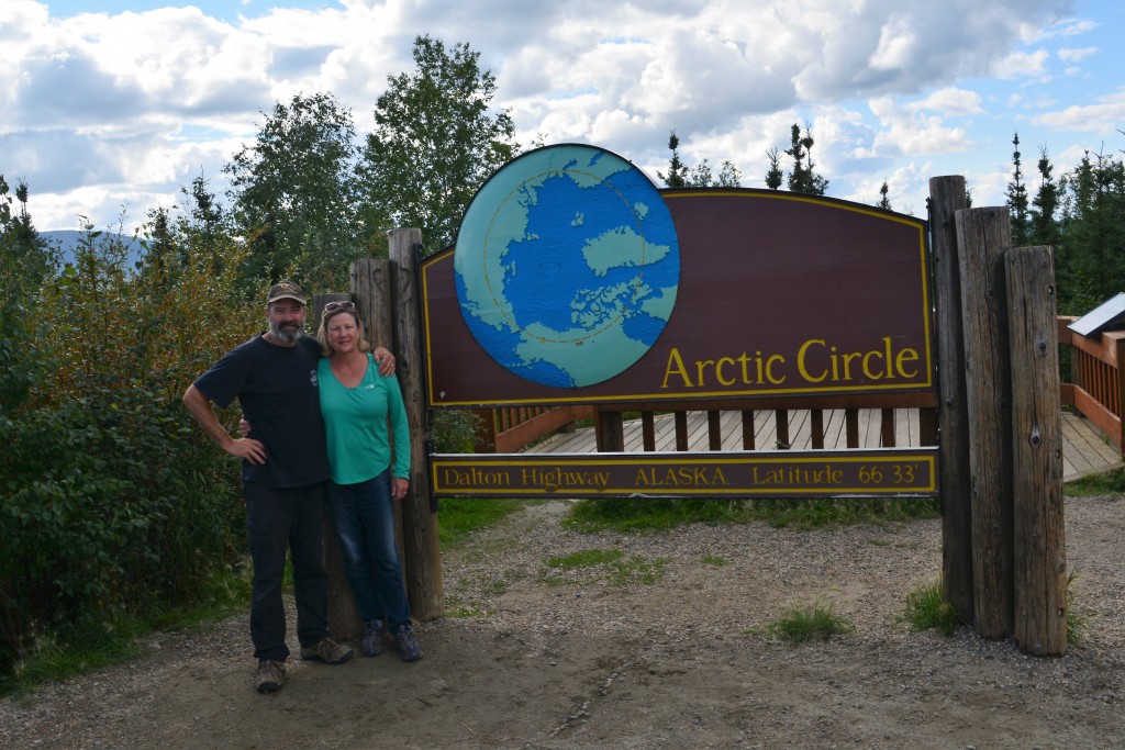
North of the Yukon the trees thinned out and the hills grew larger before we came to that point we were becoming familiar with – the Arctic Circle. At 66 degrees 33 minutes north Latitude this imaginary line is always a milestone moment, even though it’s the third time we’ve crossed it on this trip. As we drove further north we began to enter the huge Brooks Ranges, one of three mountain ranges the pipeline has to cross on its long journey south and where the native community of Anaktuvuk Pass – which we recently visited – is found, and soon found a quiet place to camp with dramatic mountains all around us.
But driving the Dalton Highway is a game of two halves. Whereas the first half was marked by relatively good roads, endless forests and more traffic than we expected the second half featured rougher roads, more dramatic scenery, and very little traffic.
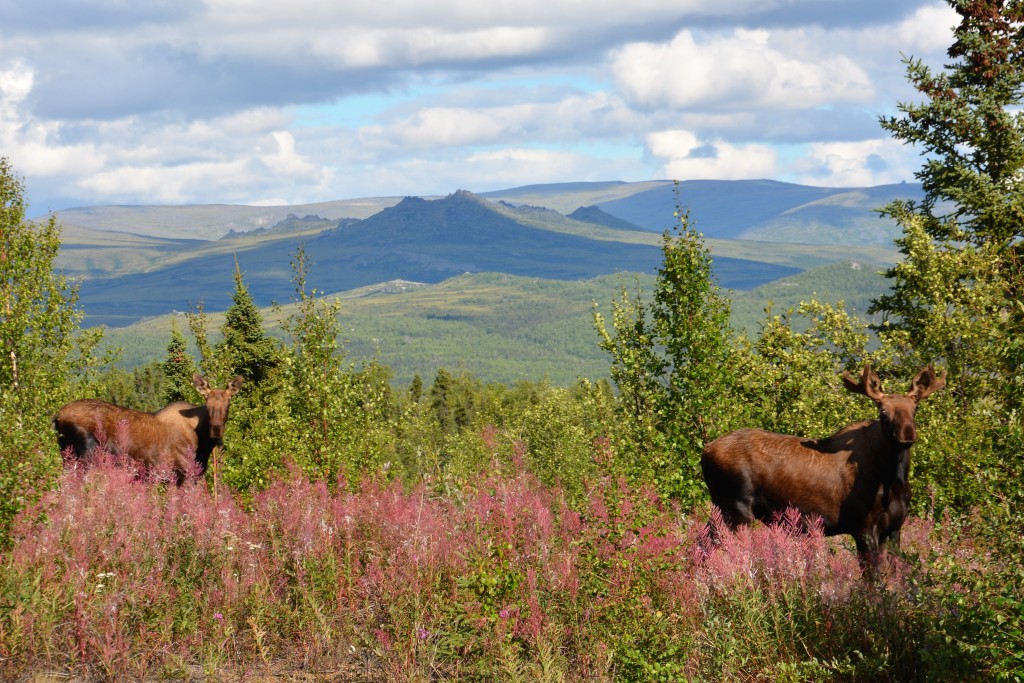
A young bull moose and his pretty little girlfriend were grazing amongst the fireweed near the side of the road
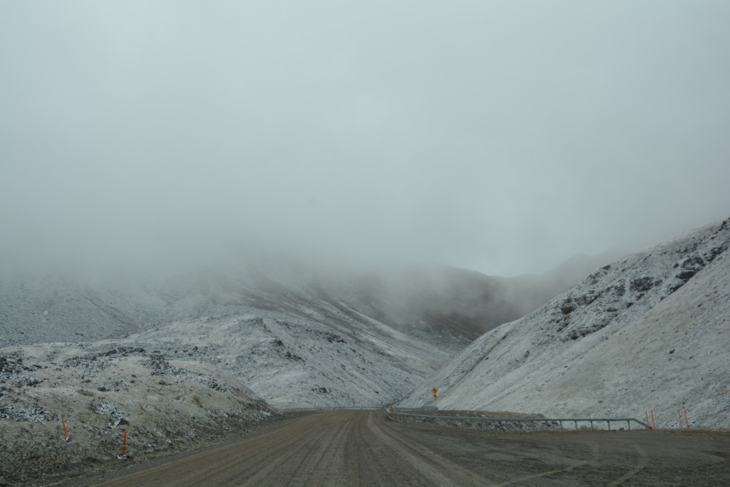
After stopping for fuel at the historic mining camp of Coldfoot (reportedly named after a couple of green prospectors got cold feet and retreated south) we followed a series of valleys and milky-coloured glacier melt rivers to the end of the paved road and past the tree line, then up the winding mountains to Atigun Pass at over 4,730 feet (1520 metres). These were dramatic mountains with arctic tundra, already changing into their vivid fall colours, acting as a carpet across the landscape. These mountains create their own weather and it is said snow can fall here at any time of year, which didn’t surprise us given the truly grey arctic conditions we were facing.
The north slopes of this pass through the Brooks Ranges featured cold and soggy tundra with a constant drizzle and slippery muddy roads. We endured many long stretches of road maintenance as the crews only have three weeks to go before winter sets in. We saw a few Caribou not far from the road and then a few hunters in hot pursuit. This is the first weekend of hunting season and Alaskans are mad about their hunting – these guys had their full camo clothes on and high powered bows and arrows ready for action.
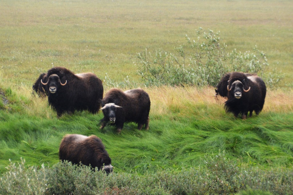
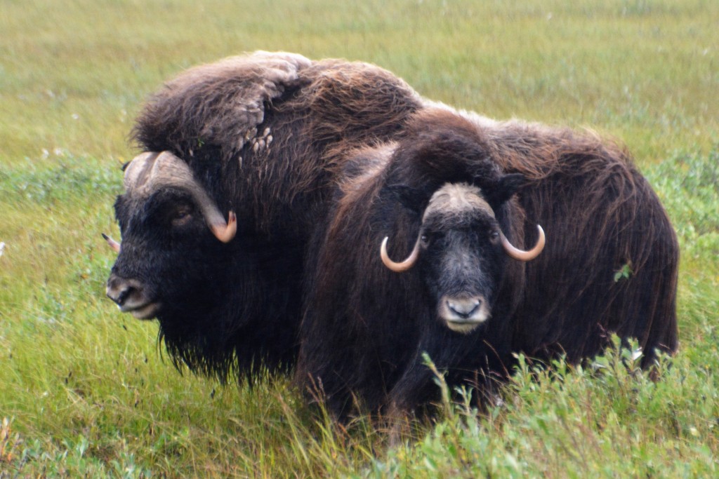
At one stage off to the left of the road was a small herd of muskoxen grazing in some weeds and grasses. These strange furry creatures, custom built for the Arctic’s harsh conditions and featuring the oddest set of horns in the animal kingdom, are a wonder of the far north and we watched for some time as the huge male bull sniffed around some pretty young females.
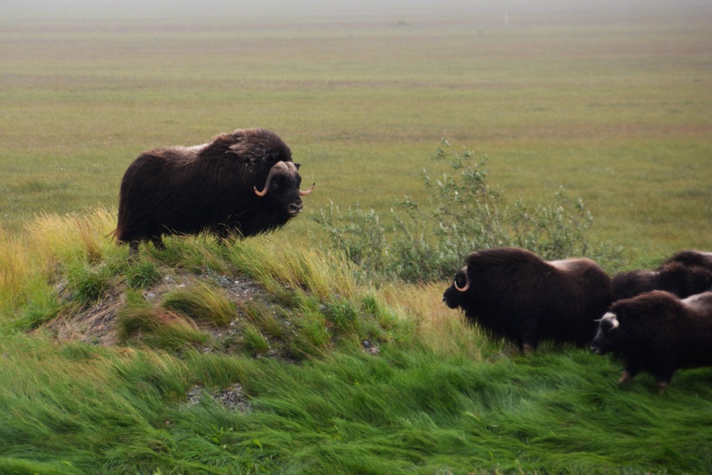
This huge bull provided a lot of entertainment – first he stood up on this mound as if to preach to his flock…
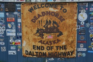
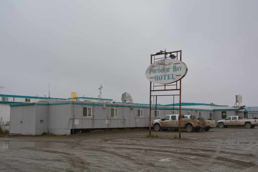
Eventually we arrived in Deadhorse, the end of the road. In fact, the end of the continent at an astonishing 70 degrees 24 minutes north Latitude. Deadhorse is not a town – it is a series of heavy industry complexes that support the huge Prudhoe Bay oil business. Many of these different large structures provide basic accommodation, called ‘camps’, to its workers as well as large warehouses, workshops, storage buildings, maintenance facilities and other such functions.
The roads of Deadhorse are all muddy and potholed, everything is designed to be highly functional and particularly designed to handle the extremely harsh conditions of the far north. It is one of the grimmest and most unattractive places of human habitation we have ever seen. And the weather made the whole place even more miserable – temperatures around 37F (3C), strong freezing wind, light rain, dark low hanging clouds. Paradise it ain’t.
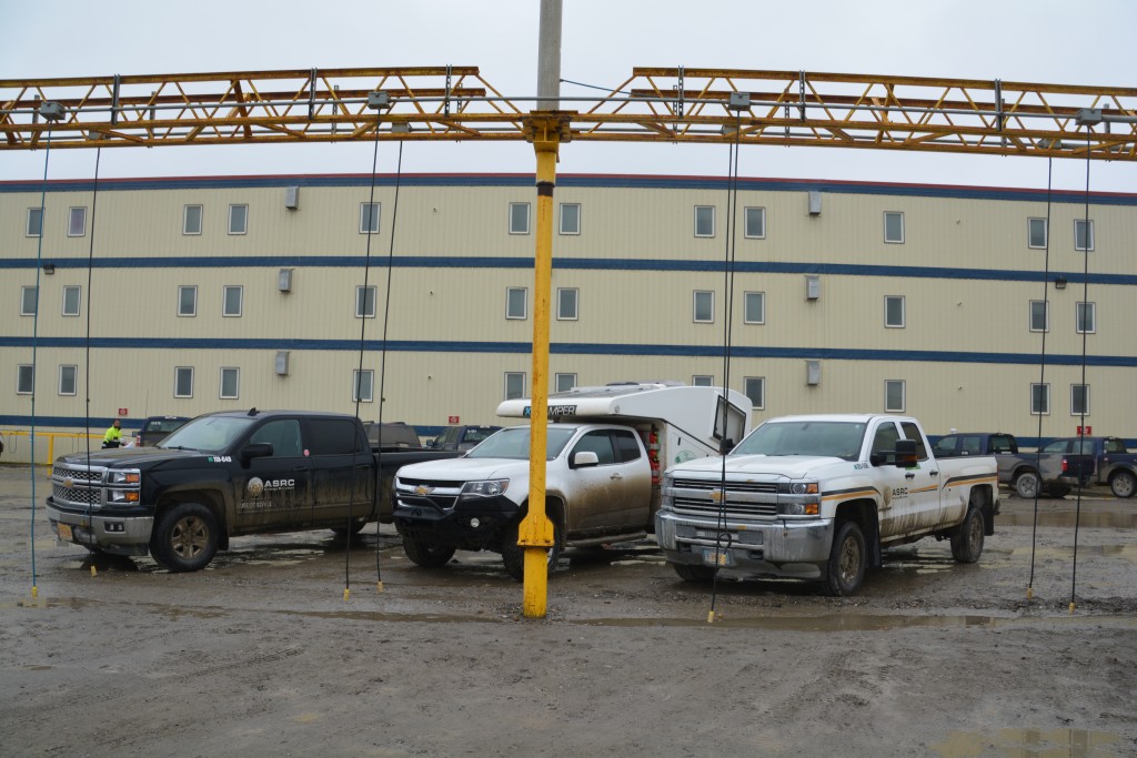
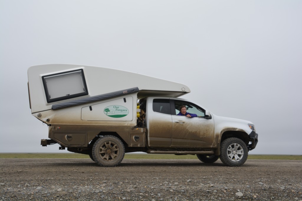
Tramp is parked in front of the best place in town – all places include electrical plugs so you can keep your engine warm during the cold winter nights
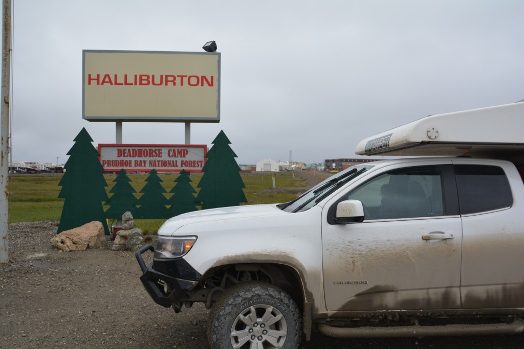
Since no one lives here full time – they fly in and fly out according to their schedules – everyone has meals provided for them in their respective camps (although some camps cater for outside visitors on a space-available basis) and one such camp – the Deadhorse Camp – also offers tours through the highly secure oil drilling complexes to the Arctic Ocean. All visitors must submit photo ID details in advance to get security clearance and at 8.30am after a cold and windy night in Tramp Julie and I fronted up for our tour.
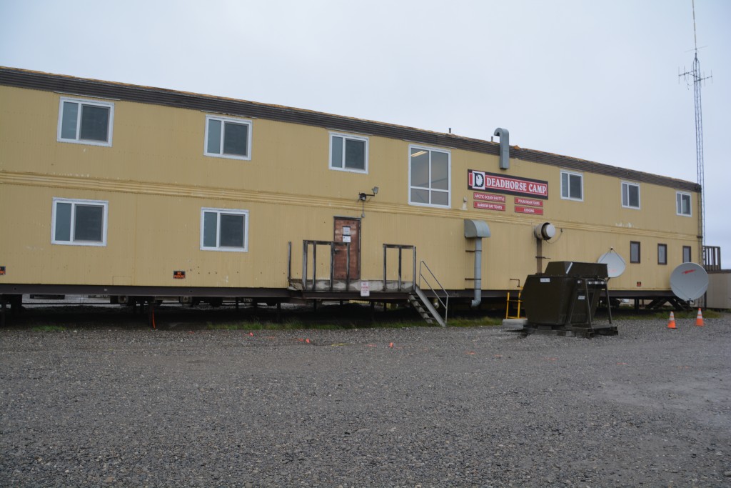
Deadhorse Camp where we picked up our shuttle bus – if you think these places look average from the outside you should see the inside!
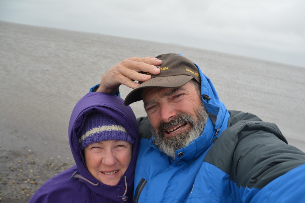
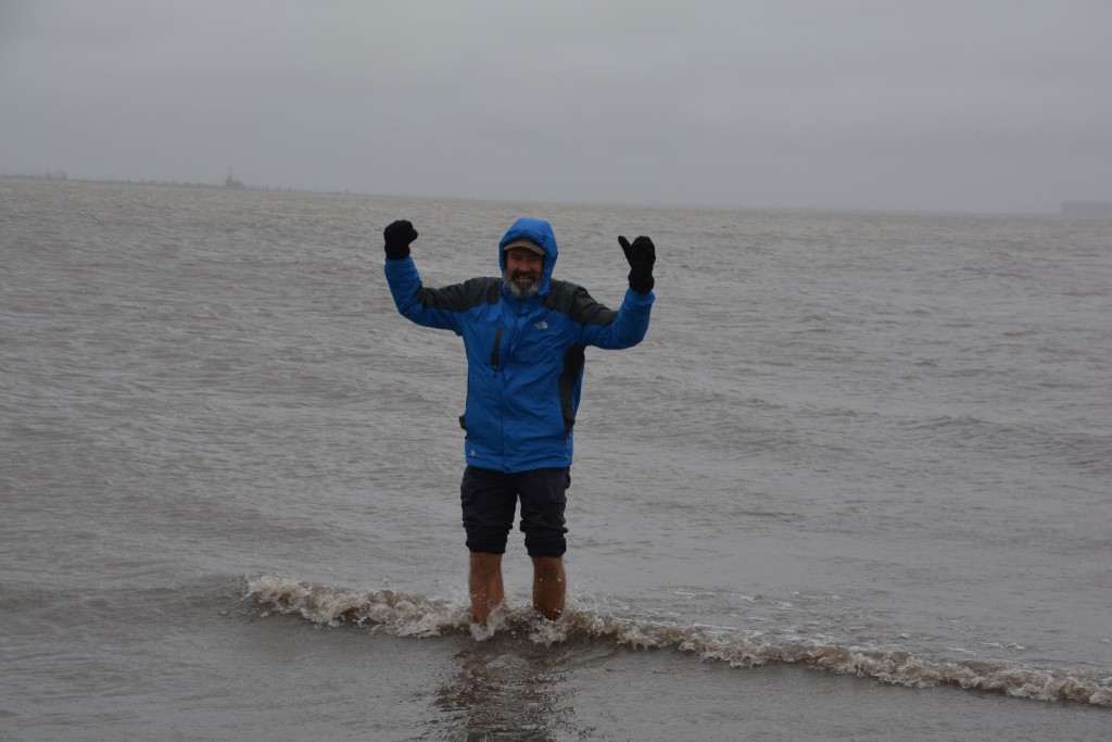
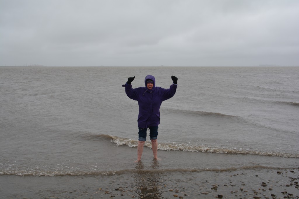
Not so much of a tour as a very expensive shuttle bus through the oil drilling complexes until we came to the end of the road, in fact the end of the continent. From here we could see the Arctic Ocean, its small grey waves lapping up on the rocky shoreline. The temperature was just above freezing and it was drizzling with a very strong wind blowing across the water. We were told it was often sunny here but it seemed only fitting to have absolutely miserable weather conditions while we are at the Arctic Ocean’s shore.
Julie and I took our shoes and socks off and each waded into the freezing cold water. After a few seconds the shocking cold set in and photos were quickly taken before we retreated and put our shoes back on. So we did it – after performing a similar rite in Antarctica eight years ago we’ve now done it in the Arctic Ocean as well. A memorable moment, for sure. This was also a special day because it marked our 150th day on the road. Quite a milestone moment on a milestone day.
This is also a major turning point for us because in our circumnavigation of the North American continent, starting from California we went east to Florida, then north to Canada, then west and further north to this point. From here we jumped into a muddy Tramp and headed south. Our plan, such as it is, is to continue south all the way to Ushuaia, the town on the southern tip of South America, probably 40,000 kilometres away. Well, that’s the rough plan anyway.
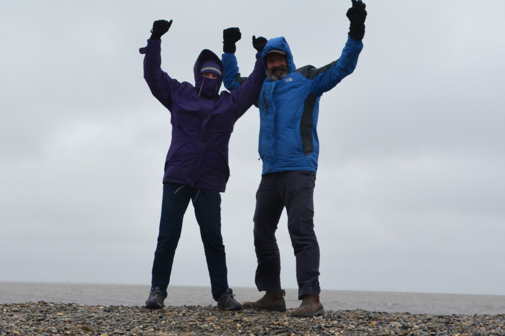
Fully clothed again and celebrating this milestone moment – from here we turn south and head for Ushuaia, Argentina
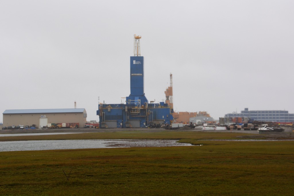
One of the oil drills at Prudhoe Bay – none of them are offshore and there is no actual oil refinery here – they just ‘pump and pipe’ the oil
The first section of the road to Ushuaia out of Deadhorse was in terrible condition after a full night of rain. We sloshed our way along its gravel and dirt path, some of the potholes big enough to launch boats, trying to stay in the middle as much as possible so as not to slide down one of its very steep embankments. Through more heavy machinery roadwork and with very little visibility due to the rain and low clouds, we eventually started to climb back up and over Atigun Pass sometime after lunch.
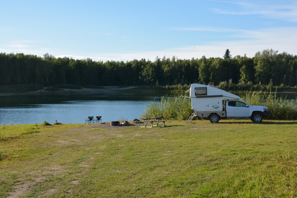
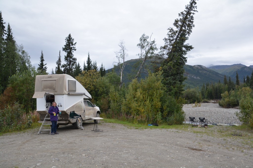
The temperature dropped to 31F/-1C and the rain turned to snow, creating a pretty scene out of the front window and dusting the nearby mountains with a frosting of white. But the snow fall was light and the gravel road up the steep pass stayed true so we were able to negotiate the pass without any difficulty. That night we camped down on a little snow-melt runoff called Marion Creek with majestic mountains all around us, still cold and drizzly but otherwise a fitting end to a fabulous day.
A common and recurring theme of this trip, at least the last few months, has been bears. Julie is nervous about being eaten by bears and we’re heavily armed with all sorts of bear defence mechanisms, we’ve practiced what to do if we encounter a bear, we’ve read everything, we’ve photographed to death every bear encounter.
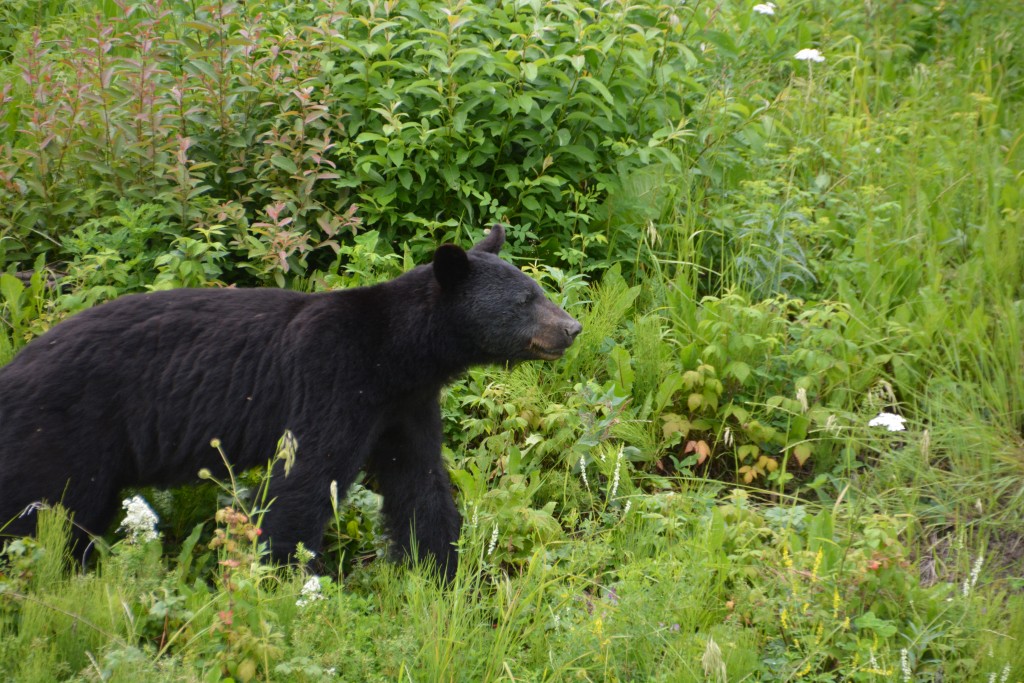
So early this morning on the banks of the Marion Creek I was admiring the cold mountain stream while Julie had walked away from the camper for a moment when I saw movement in the bushes. A moment later a large black bear stepped out behind Tramp, less than 10 metres (30 feet) away, staring at me with perhaps a mixture of curiosity and intent. I immediately went into bear-defence mode, waving my hands above my head (to look big) and calling out in a firm (but not aggressive!) manner “Hey bear, hey bear”. I also followed this with “Hey Julie, hey Julie come back to the truck immediately”.
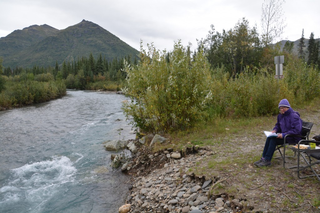
Cocktail hour on the banks of the creek – a cold but picturesque site as long as the wildlife keep their distance
Julie responded quicker than the bear. She came running back, armed with the bear spray which she carries wherever she goes, and the bear – somewhat nonplussed by the whole event – eventually sauntered into the thick forest. Order was restored, everyone was back where they should be, heartbeats slowed down again, phew!
We followed the Dalton Highway south for another full day, reaching Fairbanks mid-afternoon. The day was marred by constant steady rain, low hanging clouds that blocked most views, wet and slippery gravel roads and a tint of sadness that we were leaving such a beautiful and remote part of Alaska. We even started talking about when or how we could come back some day.

Comments
The Arctic Ocean — No Comments
HTML tags allowed in your comment: <a href="" title=""> <abbr title=""> <acronym title=""> <b> <blockquote cite=""> <cite> <code> <del datetime=""> <em> <i> <q cite=""> <s> <strike> <strong>