Larger than life
The Yukon Territory is often defined by one key historical event – the discovery of gold near the Klondike River in 1898. This gold rush, and the thousands of ill-prepared prospectors who were part of the boom and bust of this region, helped develop the Yukon in terms of towns, transport links and (brief) prosperity. It later became a key player in the US building the Alaska Highway which lies predominantly in the Yukon. All roads leading to Alaska must pass through the Yukon – an adventure in itself – which markets itself under the banner ‘larger than life’.
We had driven northward along the modern Alaska Highway from northern British Colombia, spotting more bison and a brown-coloured black bear. Watson Lake is a thriving resupply town lying just inside the Yukon border and is at an apex of the regional highway network such that all roads leading north or south must past through this point.
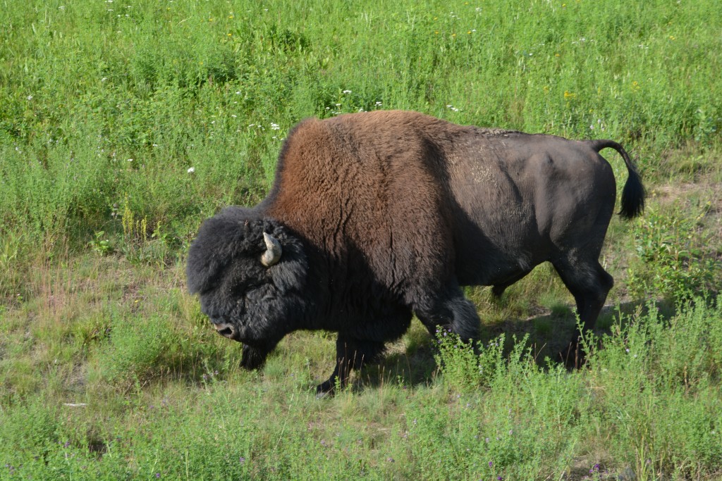
Another gratuitous photo of another magnificent wood bison – don’t you just want to take him home with you?
The Yukon has only 37,000 people and Watson Lake, with its 1,000 residents, is the third largest in the territory. It buzzed with a constant stream of huge RV’s either excitedly travelling north to Alaska or wearily traveling south back home. There was constant traffic between the only supermarket, the big gas station and the busy tourist information centre but not much else.
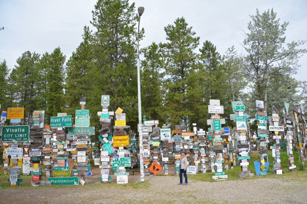
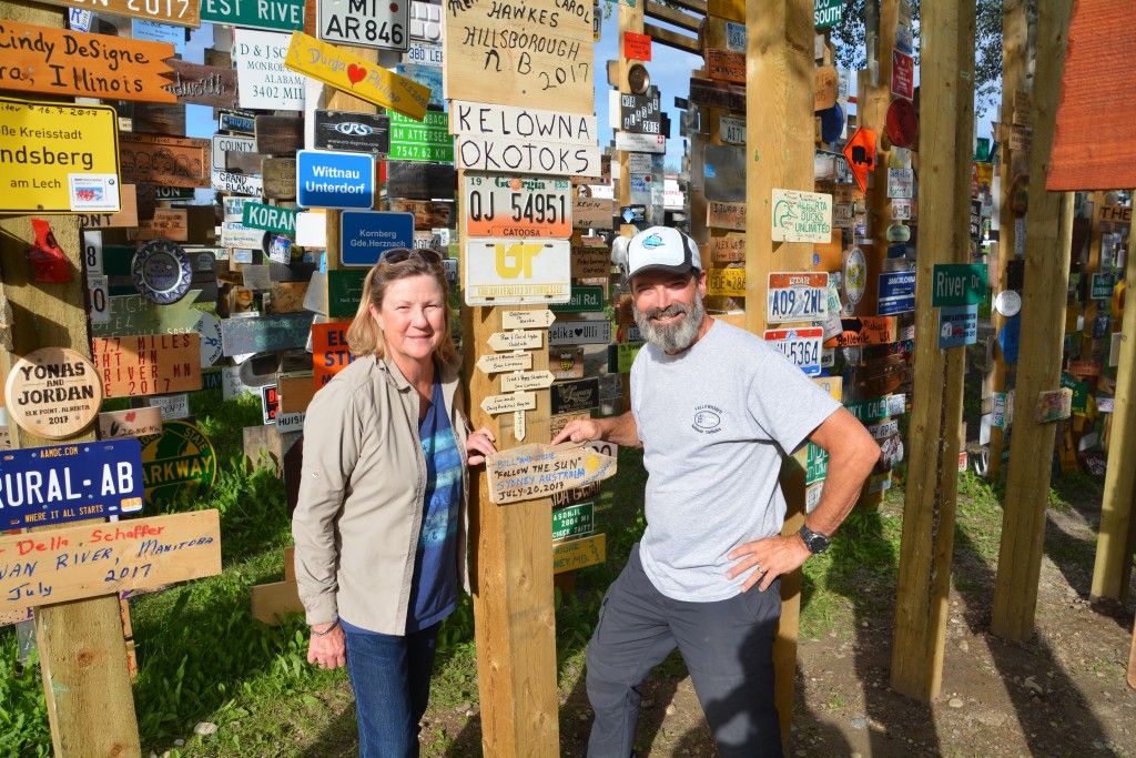
With one fantastic and amazing exception. On the side of the highway in the middle of town is the most amazing scene. In 1942 a lonely American worker on the Alaskan Highway posted a road sign from his distant home town. Others followed suit, and then more, and then more. The Signpost Forest soon took on a life of it’s own as people purloined their hometown signs and brought them northward to nail them to a post.
Today there are over 81,000 signs posted on the trees and posts of this amazing site. People from all over the world have brought – or created on the spot – a sign that represents in some way their home town, their home state or country, something about themselves or even their favourite team. It is an amazing and mind-boggling display.
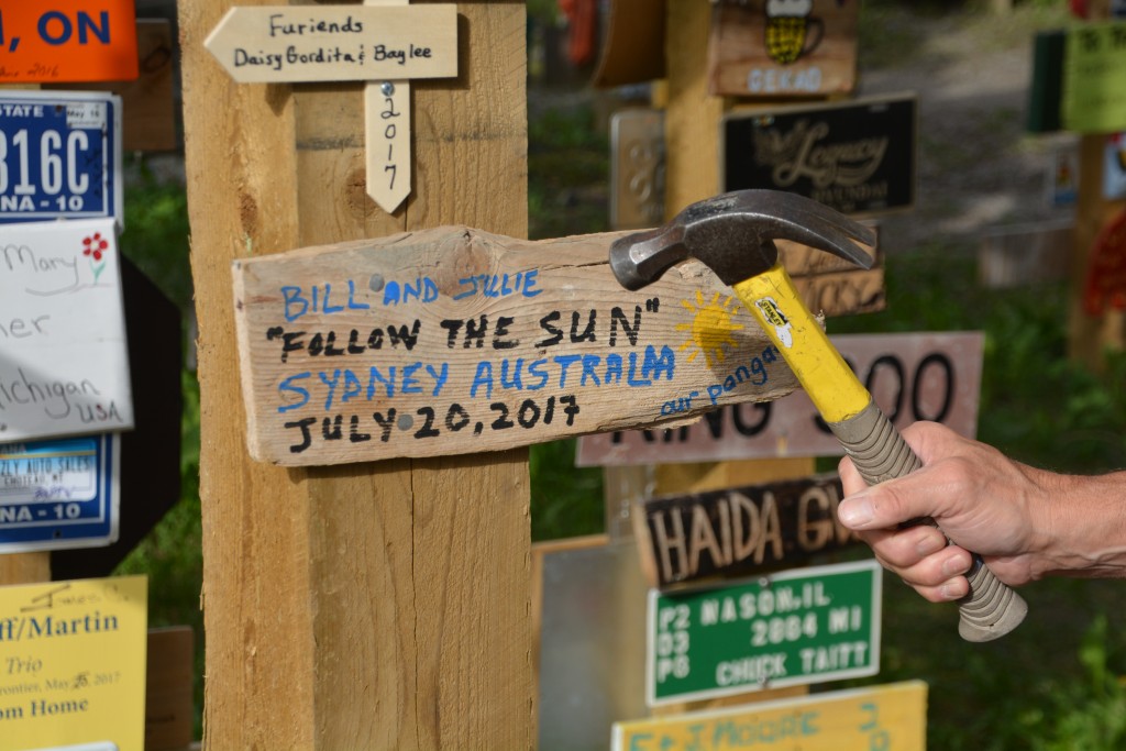
From a scrap of wood in our side locker we made up our own sign with our trip’s slogan ‘Follow the sun’
Julie and I walked through the forest and amongst the signs, absolutely gobsmacked by what we saw. And at the end of the day I pulled out an old plank of wood I had picked up in New Mexico about four months earlier and had used to help prop up the jack when changing a tire, we borrowed a marker and some nails and hammered our own sign up on a post – a fun and sentimental moment for us.
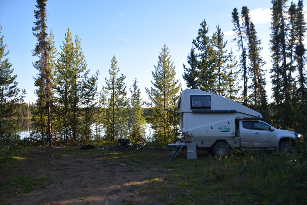
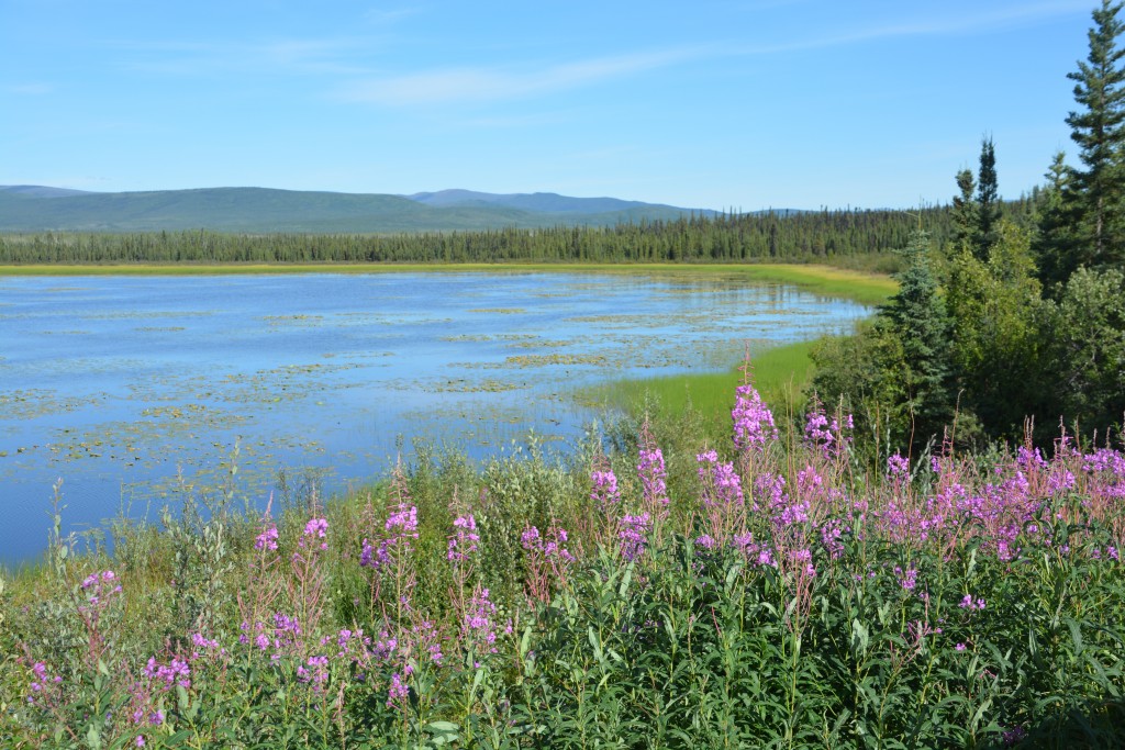
We bush camped that night on the banks of a beautiful forested lake, the birds and other forest critters going about their business, none of us with a care in the world. Our target over the next few days was Inuvik, the remote northern town near the shores of the Arctic Ocean many hundreds of kilometres north of us. The challenge – and the fun – was to negotiate all the gravel and dirt roads to get there.
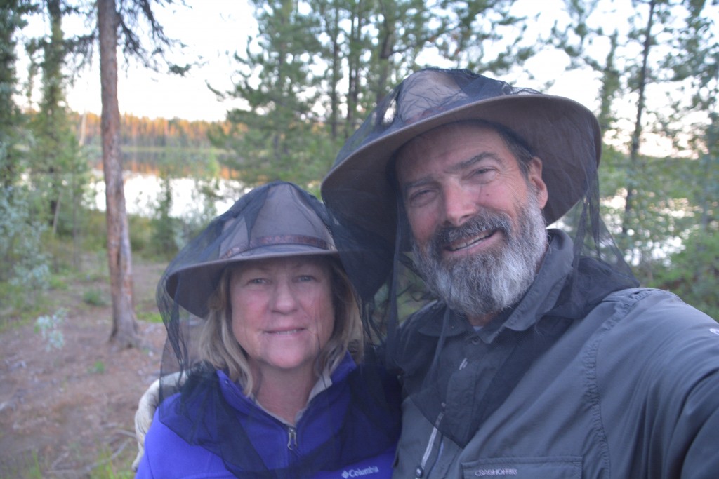
Yes, well, it was a beautiful and peaceful place to camp except for the ferocious man eating bugs which forced us on this rare occasion to bring out the netting
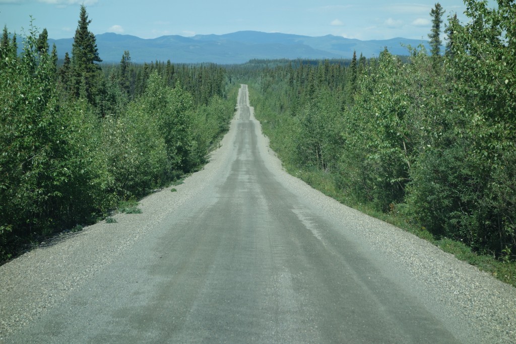
We started up the Campbell Highway, the gravel in good condition, with breathtaking scenery all around us while the various rivers we followed weaved their way through the mountainous maze. We saw moose and bear and porcupine but most amazing of all, out of the four hours we drove before lunch we saw only one other vehicle travelling on the road. How can it be that such beautiful scenery is neglected by all those people travelling to or from Alaska? The answer is the difference between pulling a massive RV home-on-wheels and Tramp.
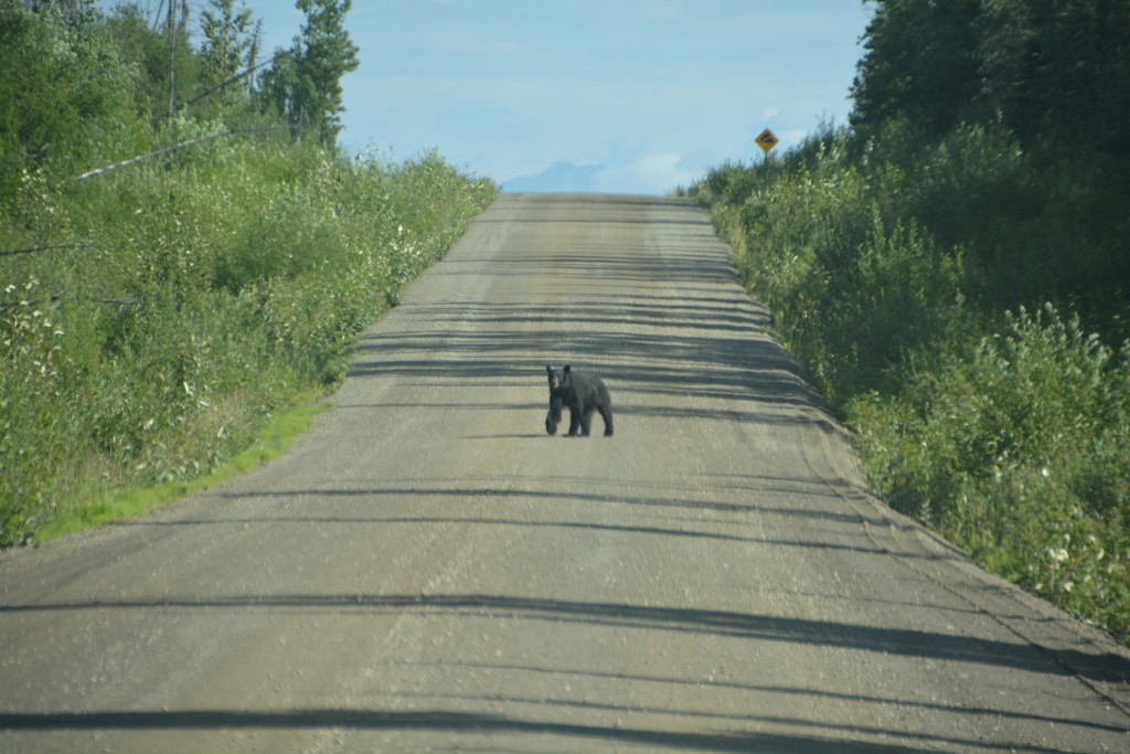
Hey – we’re not afraid of you, get off our road…we bravely said from a distance when this black bear stopped us
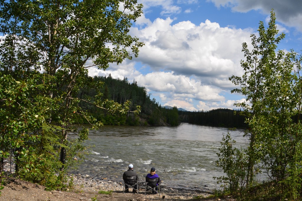
After a divine picnic spot where the Hoole River joins the larger Pelly River we stopped at the First Nation community of Ross River, a sleepy population of 300, and then a bit further on pulled into the small town of Faro, home of the largest open pit zinc/lead mine in North America and today somewhat of an over the hill mining town. Camp that night was near the banks of the Little Salmon River under dark and foreboding grey clouds.
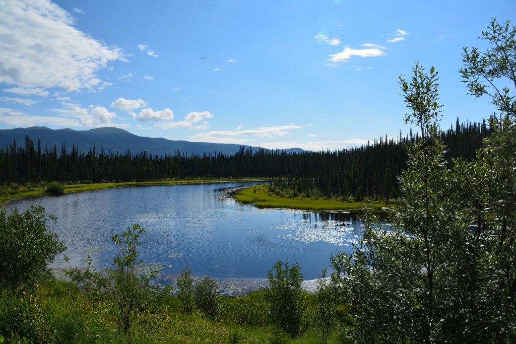
The scenery on this drive was absolutely stunning but we were amazed how few people opted for this indirect journey
What the Campbell Highway lacks in traffic it makes up for in magnificent scenery. The previous morning we saw more moose than cars and on this morning we drove for almost two hours before encountering our first ‘traffic’. The far reaching mountains and constant companions of either fast flowing streams or beautiful high-mountain lakes kept us fully entertained.
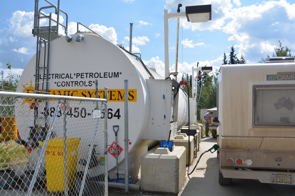
We stopped in the First Nation community of Ross River and I filled up directly from the huge above ground gas tank
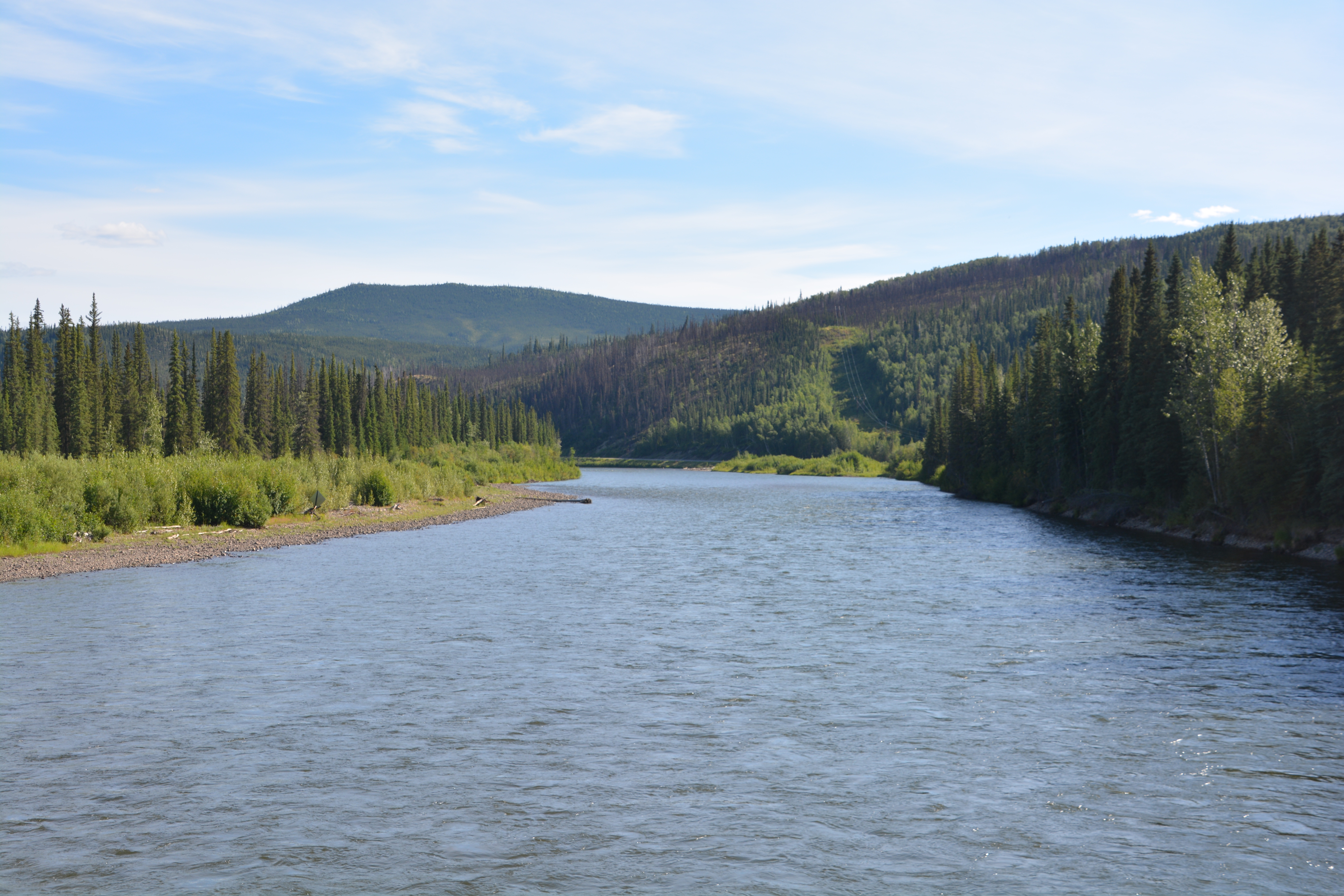
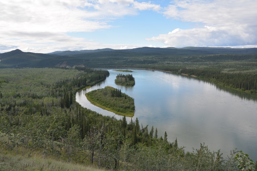
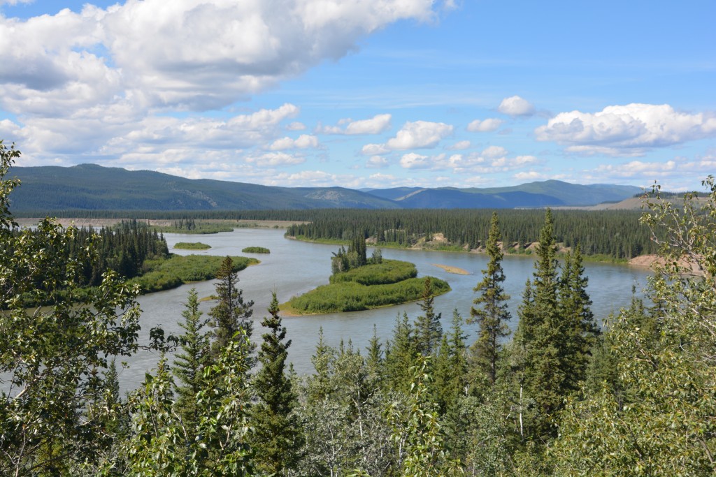
On one rise and turn of the road we could see down below the Yukon River, probably one of the most famous rivers in North America and a key player in the legendary Klondike gold rush in 1898. It was in that year after gold was discovered that hopeful prospectors from all over North America would catch a steamer to the inland port of Skagway, hike over the (now) famous Chilkoot Pass, build a boat from scratch and eventually float down the majestic Yukon River to the gold fields. Many men lost their lives in the journey, very few survivors made their fortune.
As we followed the Yukon for a few hours we spotted a couple of groups of canoeists, heavily loaded with equipment and food, re-enacting this epic journey from 120 years ago. It was a beautiful scene watching them from high on the ridge float down this majestic river, truly amazing.
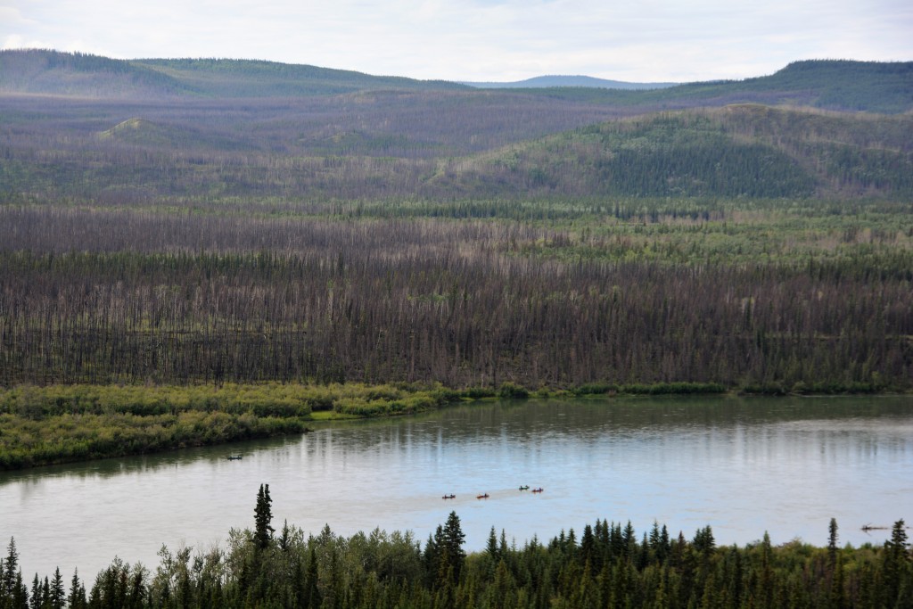
A few canoeists floating down the Yukon River, much like those hopeful prospectors did over 100 years ago
And the most amazing part of watching these adventurers for me was to relive my childhood past because about 45 years ago my family, along with other friends, also hiked over the Chilkoot Pass and floated down the Yukon River to Dawson City. Watching these canoes float down this magnificent river brought back many amazing memories of our family journey along this same river so very long ago. Very special.
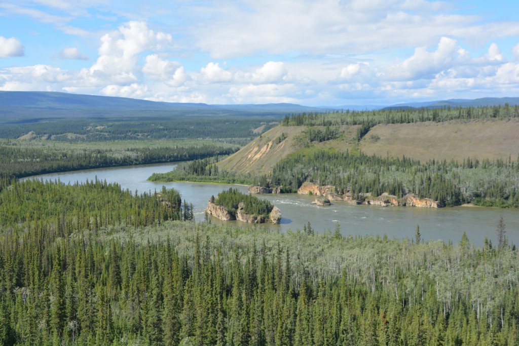
The Yukon is wide and fast moving but these five finger rapids tested the old paddle steamers during the gold rush days
We pushed northward and camped in a quiet flat near the banks of the Klondike River at the start of the Dempster Highway. It would be this long dusty gravel road that would hopefully take us beyond the Arctic Circle.
Comments
Larger than life — No Comments
HTML tags allowed in your comment: <a href="" title=""> <abbr title=""> <acronym title=""> <b> <blockquote cite=""> <cite> <code> <del datetime=""> <em> <i> <q cite=""> <s> <strike> <strong>