Yellowknife and beyond
Yellowknife is a very cool name for a town but in this case it is also the thriving capital of the Northwest Territories. With 20,000 people, half of the territory’s population, this really was the big smoke. To get there we travelled along the northwest arm of the Great Slave Lake and passed through a few First Nation communities that had seen better days. The road was under constant repair because the permafrost, that permanently frozen soil under the top layer, had melted in places, causing the road to buckle and twist and turn in crazy dips and sideways tilts. People pay good money for this at amusement parks, we got it all for free.
Yellowknife was founded in the 1930’s when gold was discovered by European trappers. Prior to that time the area around the Great Slave Lake and what became known as Yellowknife River were inhabited by the local Dene people who had lived and prospered off the land for thousands of years. The gold didn’t last but the town stuck and today it is the capital of the NWT and the thriving hub of everything that happens in this vast region.
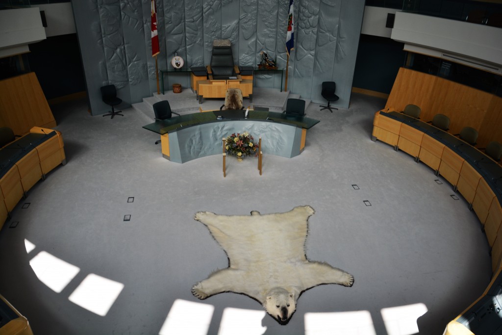
Open doors – the NWT’s Legislative Assembly is open to anyone – check out the polar bear on the floor
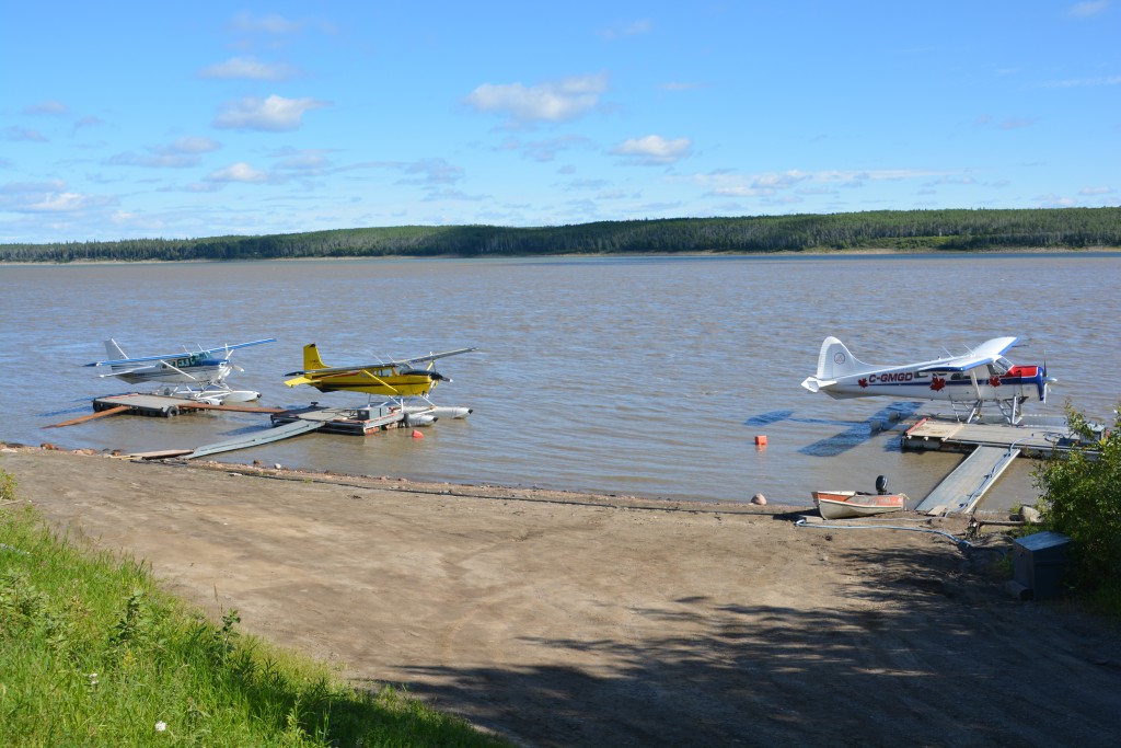
The Old Town occupies a narrow peninsula and string of islands fingered into the lake, including a number of brightly coloured houseboats that provide permanent home to those who couldn’t build on the scarce land of the peninsula and a mix of long-time residents and new trendy seasonal homes. We drove and wandered amongst this fascinating mix of old and new, enjoying the constant noise and sight of float planes coming and going from the various public and private wharves that surround the peninsula.
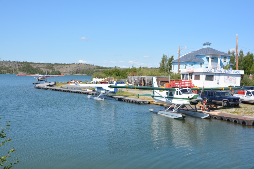
Float planes connect Yellowknife with all the great hunting and fishing spots plus half the territory’s communities
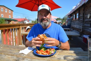
We had a bison burger and bison stew at the famous Wild Cat Café, one of the original restaurants dating back to the 30’s, and climbed the rocky top to gain great views of the island peninsula and the new part of town. The frontier feeling of the town was palatable and a local told us the temperatures range from 35C (95F) in the summer to minus 50C in the winter. When Julie told one local guy that we were from Sydney but it would be fun to live here for a year he told her it ‘would be too cold for you’.
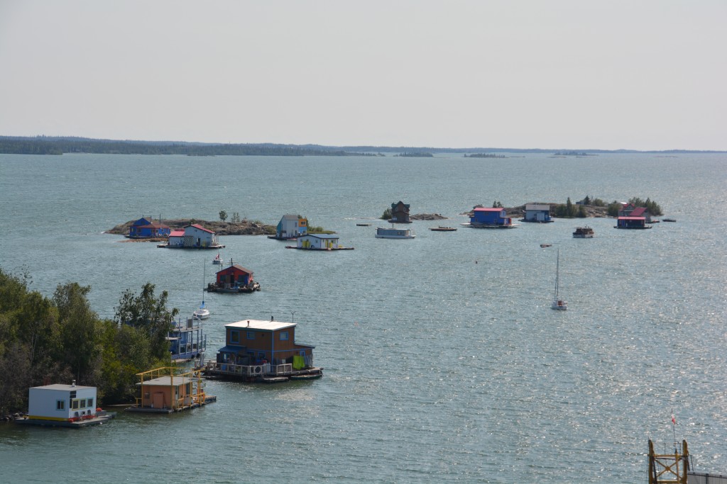
Some people live on houseboats because its hard to find a spot to build on land – how about one of those during the cold winters?
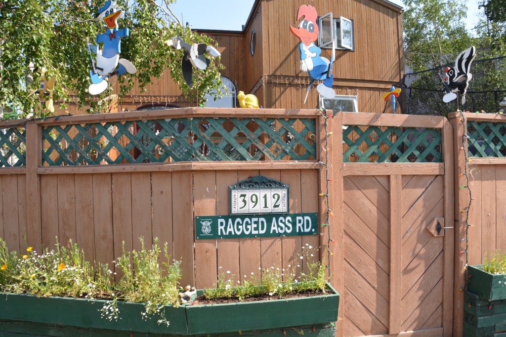
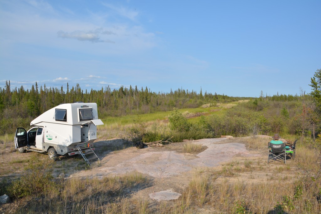
We visited the colourfully named Ragged Ass Road and the excellent Cultural Heritage Museum and retreated from town at a time the sun would normally be setting if this wasn’t at 63 degrees latitude. But as we learned on the previous nights, this time of year the sun never sets so you have to get on with your normal life regardless of the daylight. We found a top spot to bush camp on the Canadian Shield, the name given to the huge granite rock covering of these northerly parts, and continued south and west the next day.
Some days in Canada you get the feeling that it’s so big you’ll never get out. The next day we drove almost 300 miles/500 kilometres and we hardly moved the dial on the large scale Northwest Territories map. This is such a big place and we are so small in comparison.
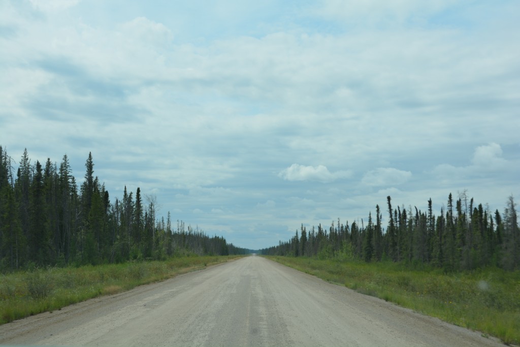
Sometimes the road just kept going and going, usually dirt and gravel, always black spruce on both sides
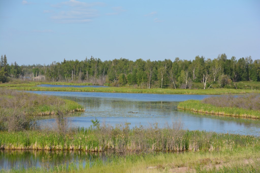
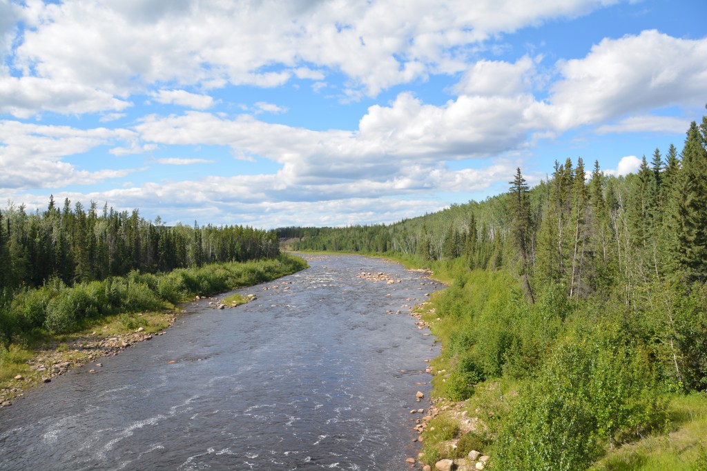
We never tired of these beautiful scenes – snow melt lakes on the permafrost and rivers all surrounded by thick forests
We passed back through the Bison Sanctuary and saw another three large woods bison lazily grazing in a meadow near the road, their casual nonchalance telling the world they were the kings. We crossed the mighty Mackenzie River again, still awed by its size and the fascinating role it has played in the discovery and settlement of this vast trackless land, and then we headed westward on Hwy 4, a long dirt road that Lonely Planet called ‘lobotomizingly boring’. Hey, we like long forest-lined drives more than most but the lack of variety along the muddy track, the absolute absence of other vehicles and the dark gloomy clouds that occasionally drizzled on us all combined to say we were in another world.
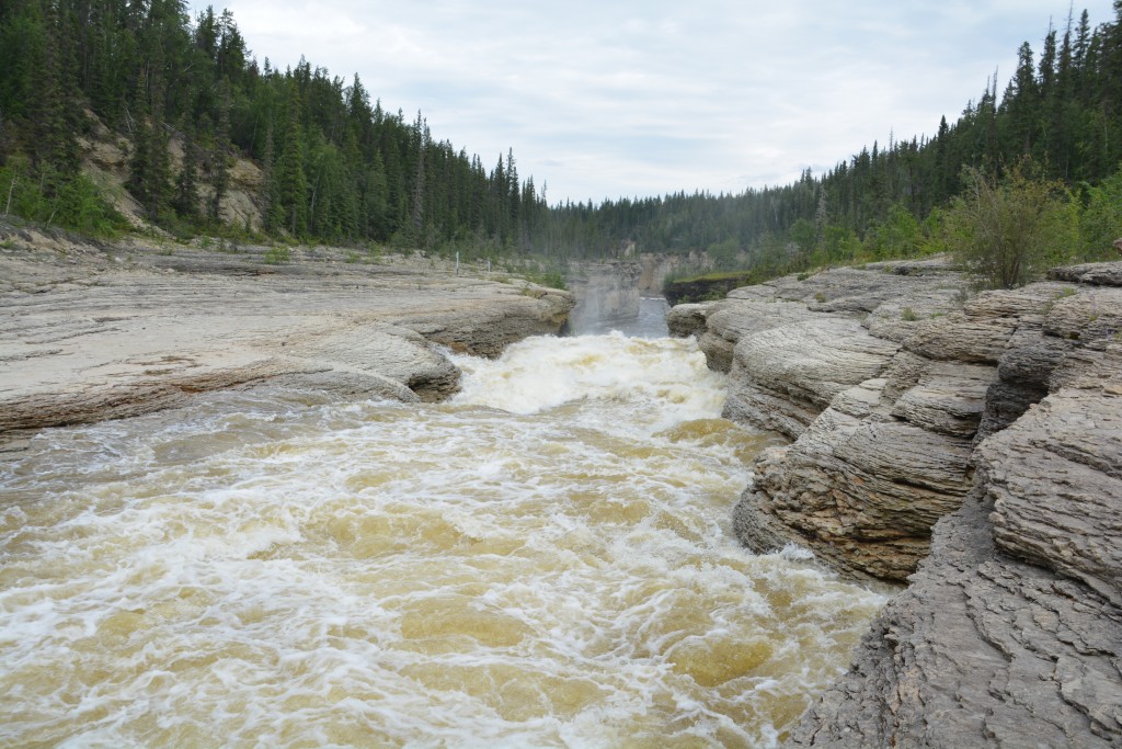
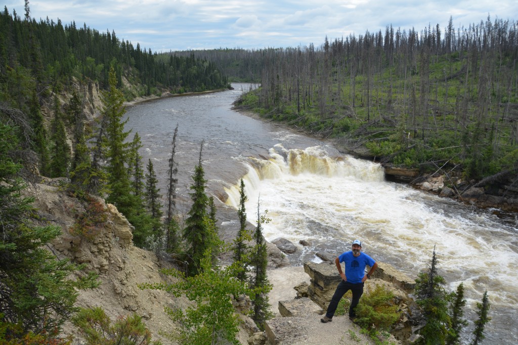
The highlight of the day was a stop at the bridge crossing the fast and furious Trout River. This river starts way upstream at a place unimaginatively called Trout Lake where 300 indigenous people live year round and the only access is by float plane in summer and tricky ice road in winter.
By the time the river hits the highway it is full of fury and racing away to lower places but first must pass over two major drops, the second of which is through a narrow chute, and creates spectacular scenes for those few who chance upon it. We did the short walk to both the Sambaa Deh and Coral Waterfall, bear whistles at the ready, and loved the remote and raw beauty of the scene.
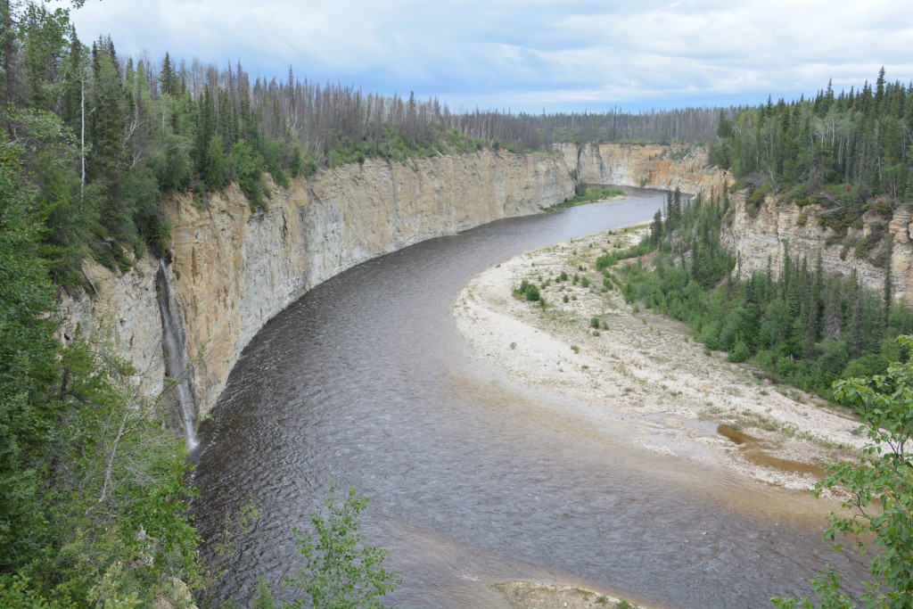
This spectacular river would have triggered the start of a new national park in any other place but here it is just business as usual
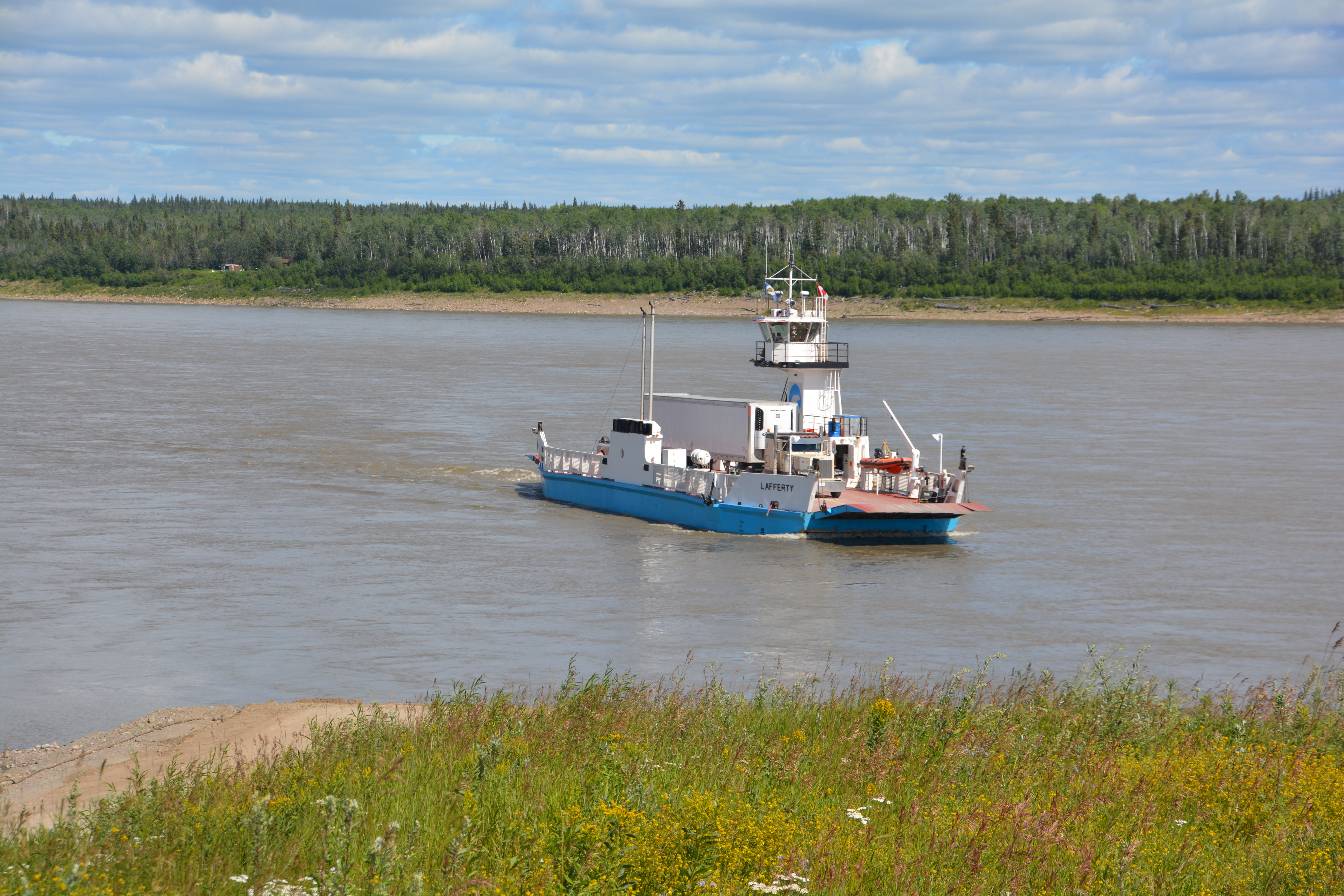
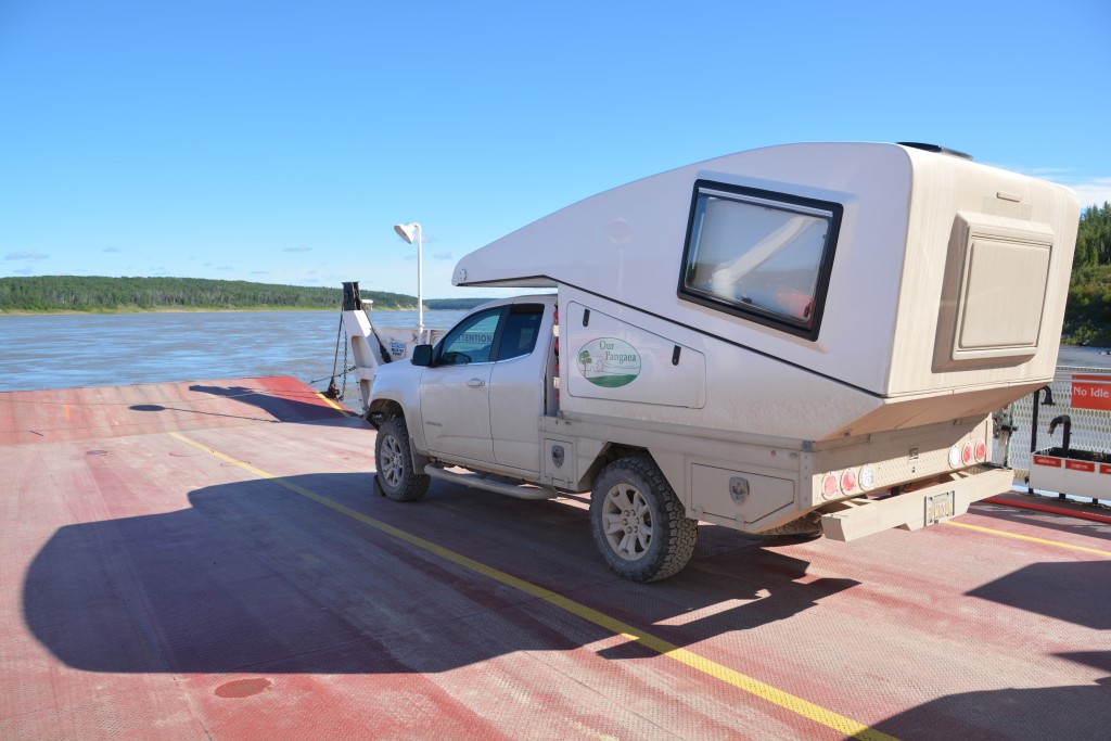
Our short term target was the remote town of Fort Simpson where the Laird River flows into the Mackenzie River. To get there we followed a long gravel road to the free ferry which took us across the fast moving Laird. This was an awesome site, a huge wide river moving at a scary pace, steep banks covered in spruce and pine, the brown water on its way to the Arctic Ocean.
From there we drove into Fort Simpson, a frontier town of a couple thousand people, and explored the banks of the waterway where these two behemoth rivers meet. Today Fort Simpson is mainly a launch pad into the spectacular Nahanni National Park which is only accessible by boat plane. Most visitors to the park are rafters or paddlers who get dropped into the park and float/paddle their way out some days or weeks later. It is the ultimate in remote wilderness adventure but sadly not in scope for us.
The town was primarily inhabited by First Nation locals and even though the houses were exceptionally modest and they lived a very ‘local’ life, it was a step up from what we would have seen in a similar community with Aboriginal people in Australia. The local high school was the Simpson High Stampeders and the local women’s hockey team was named the Moosehide Mamas. Who wouldn’t want to put on that jersey each winter?
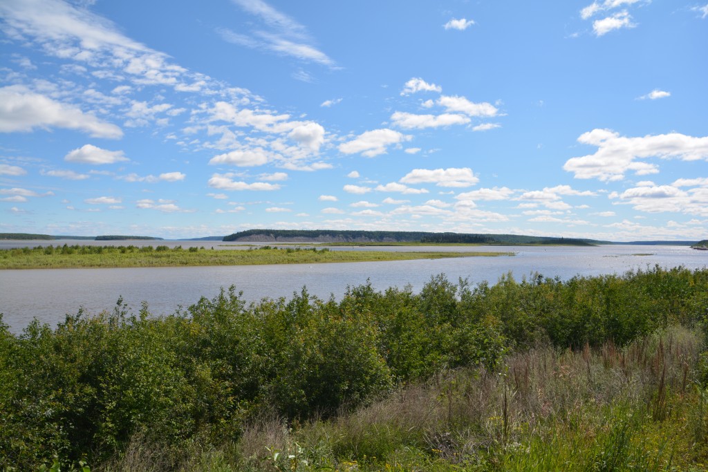
Hard to pick it but this is where the Laird flows from the right into the monstrous Mackenzie River coming in from the left on the way to the Arctic Ocean
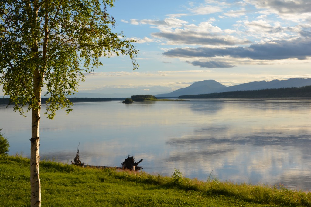
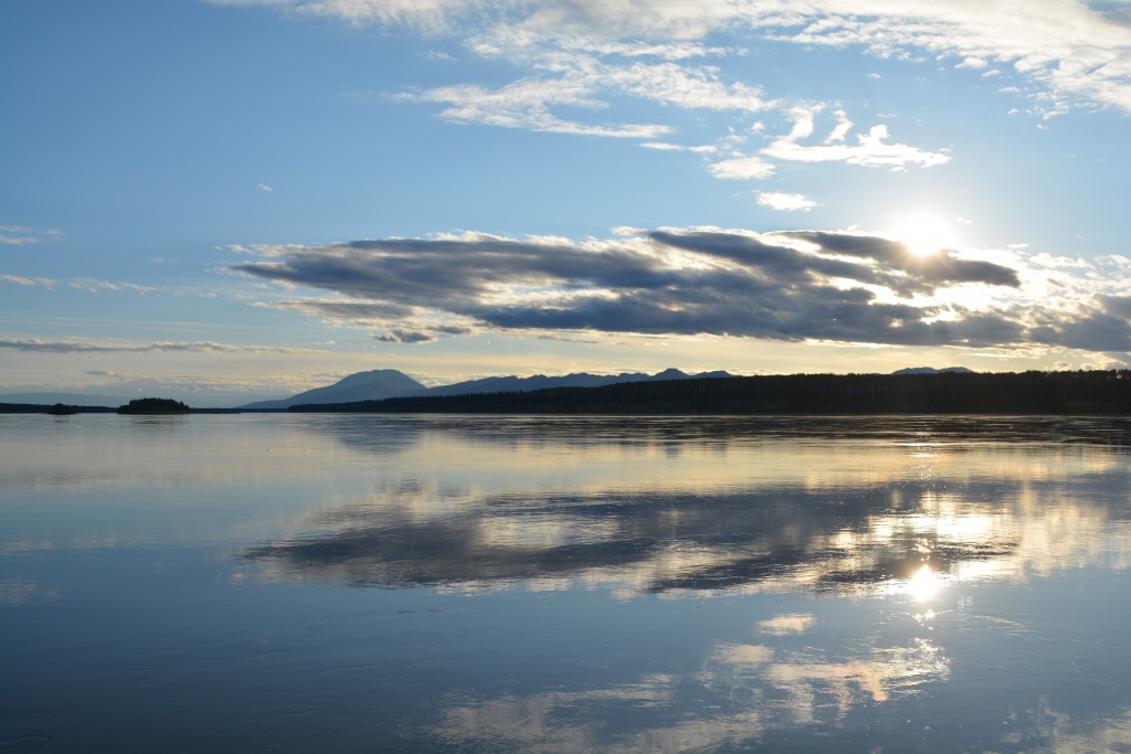
Having stocked up in the town’s only store and gassed up in the town’s only station, both at exorbitant prices, and gathered a preliminary appreciation of how life must be in these remote desolate parts year round we moved back across the ferry and camped some ways down the road on the banks of the Laird River. Large piles of bison poop scattered our camp and little bushes nearby were aglow in brightly coloured berries, yummy fodder for hungry bears. Sadly we had no visitors for the night and contented ourselves with the sun arcing low across the wide waters of the Laird River. The mossies were in attack mode but I couldn’t have imagined a better place to be.
Comments
Yellowknife and beyond — No Comments
HTML tags allowed in your comment: <a href="" title=""> <abbr title=""> <acronym title=""> <b> <blockquote cite=""> <cite> <code> <del datetime=""> <em> <i> <q cite=""> <s> <strike> <strong>