Chasing Vikings
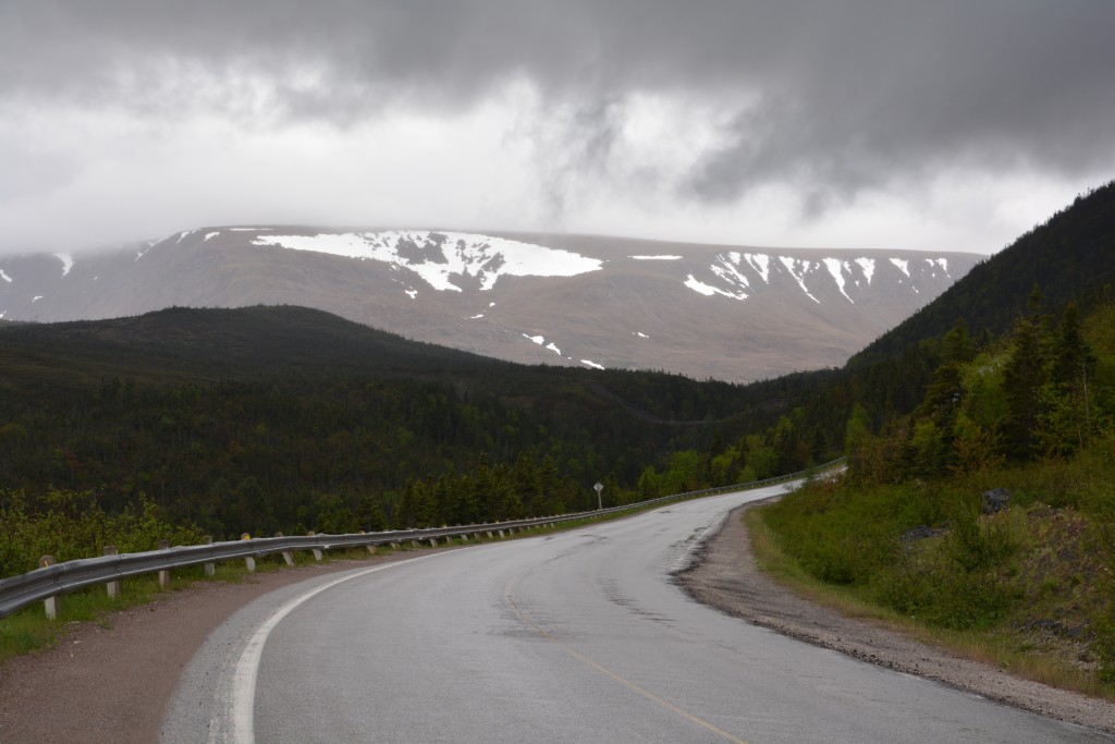
The day was cold and drizzly, as we’ve come to expect, with low clouds blocking the mountain tops but the beautiful lakes and bubbling mountain streams still in full view. We were on a mission to visit Gros Morne National Park, internationally recognised for its unique geologic features and stunning scenery. The highlight of drive to the park was a young moose stepping out on the road just in front of us but Tramp saw him early and braked to miss the beautiful beast. We were sceptical of signs saying 660 moose are hit by motorists every year but now we are full believers.
Gros Morne National Park preserves some of the most stand-out scenery of the entire maritime area. Covering a large part of the west coast of the island, the park features dramatic mountain ranges cut by deep rivers and fjord-like inland waterways that are otherwise only seen in places like Norway and Alaska.
We drove down the southwestern arm through the Tablelands Mountains and finished up in a super-small community of Trout River on the coast, very modest little homes strewn about with little life to show for them, the sad beach rocky and forlorn, the water grey and stormy. This was once again the end of the road for us and we camped in weather that literally changed by the minute and a temperature that was in single figures (or in the 40’sF if you like). Dramatic mountains, stunning coastline and foreboding weather all added to the buzzy isolated experience.
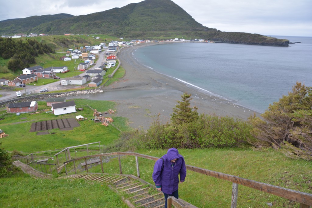
We trudged up the hill in some pretty average weather to get a broader view of the community of Trout River and the surrounding landscape
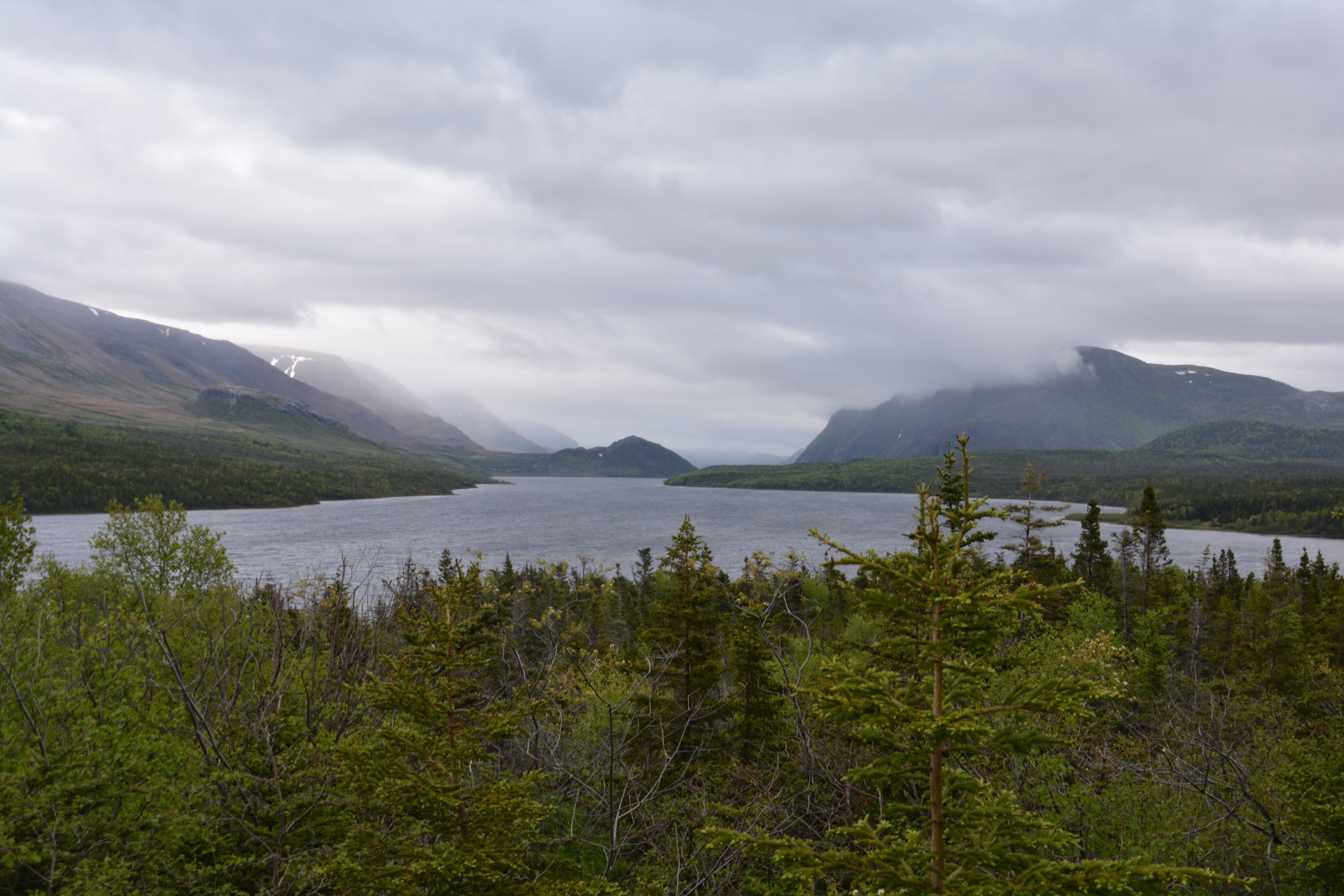
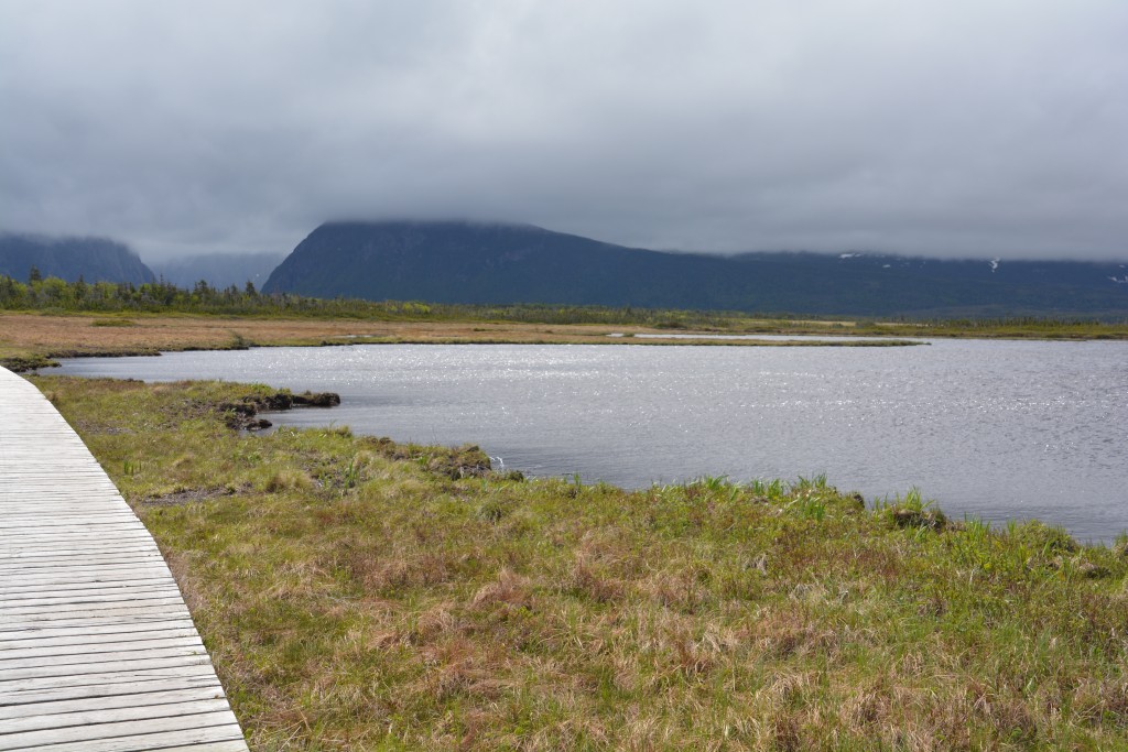
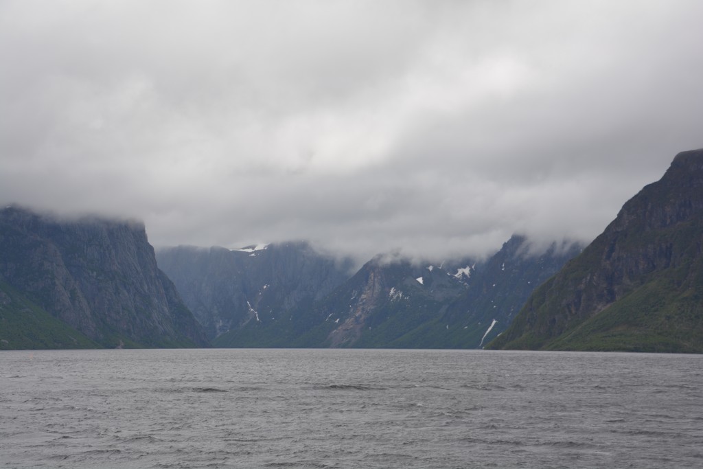
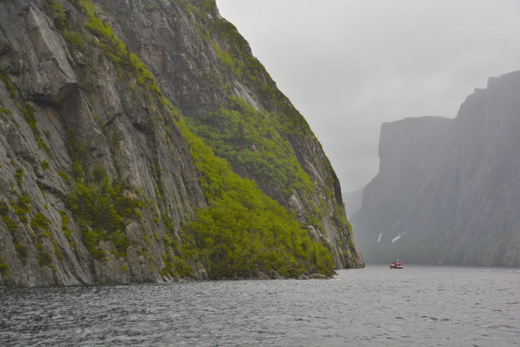
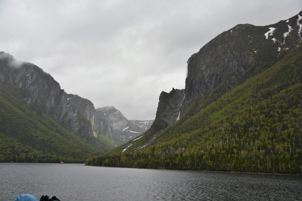
The next day the weather was worse, low fog making visibility impossible and we made our way into the northern reaches of the park at the trailhead for the Western Brook Pond walk. One of the highlights of any visit to Gros Morne is a boat trip up Western Brook Pond, a fresh body of water sitting between massive high cliff mountains that were carved by glaciers all those eons ago.
To get to the boat launch on the ‘pond’ as the locals seem to call all lakes, we had a 3 km walk through the woods and on boardwalks across the soft boggy peat that had built up over the centuries. We could see the dramatic mountains looming ahead of us but it was only when we reached the shores of the lake, sorry – pond, that we could fully take in the raw beauty of this place.
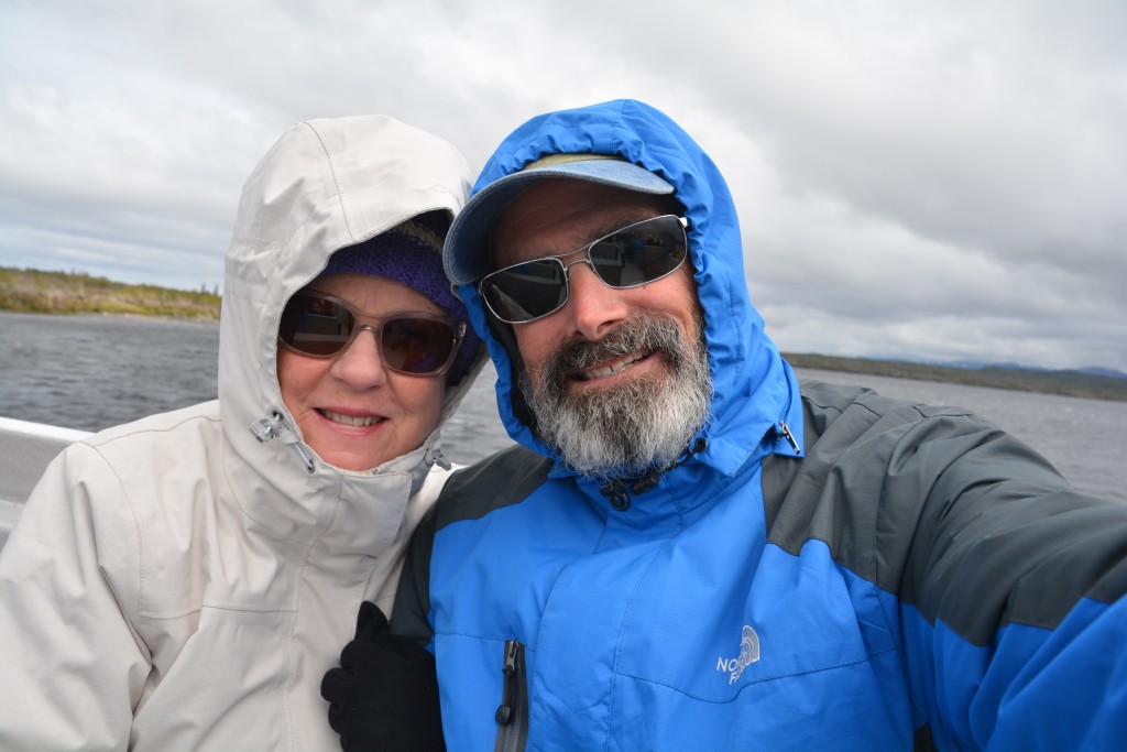
This was a huge deep lake looking like a fjord and featuring long waterfalls, high snow patches and black choppy water. It was cold and rainy and at times fairly miserable but the scenery was jaw-dropping and we couldn’t get enough of it.
We travelled up the beautiful northern coast, the clouds and sun and rain coming and going by the minute, the surf crashing on the rocky beaches to our left, the mountains soaring high on our right. We camped that night in front of a Nordic ski club’s winter clubhouse, the wind whipping through camp and the temp in single digits, reminding us that we are very north and we are too early for the tourist season.
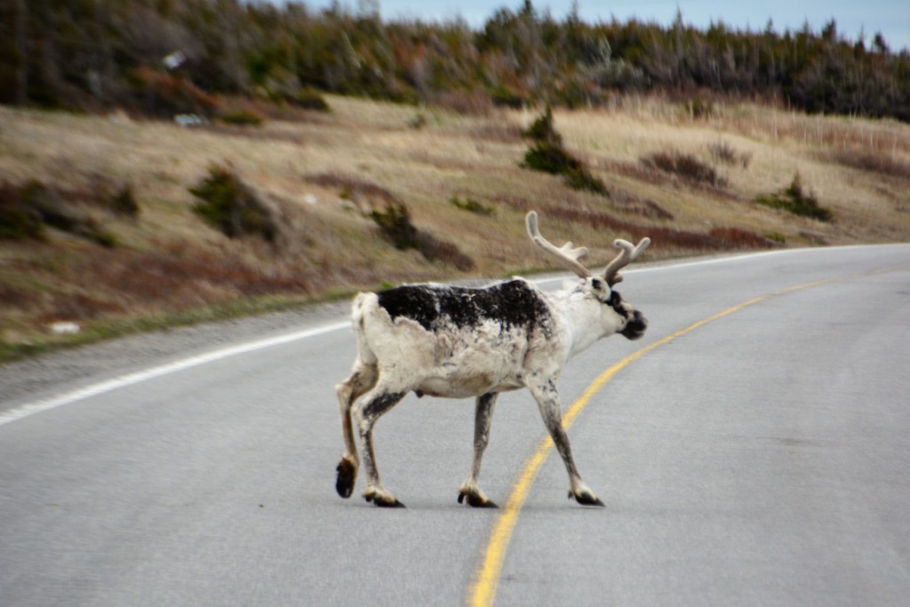
But the next day we travelled north again, up the northwest arm of the island, following the jagged coastline, stopping for photos. The snow patches on the side of the road and on the nearby slopes were getting bigger. In one small community a caribou walked out on the road, still with his winter coat and furry antlers. At another turn we spotted a large mother moose with her small baby which we later learned was probably born only a month ago. Wildlife everywhere!
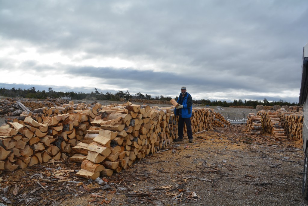
One of the amazing standout features of Newfoundland is the endless piles of firewood on the side of the road. People cut it in winter, stack it in summer to dry and then burn it the following winter. They’re everywhere!
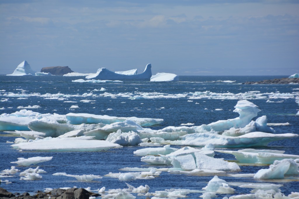
Eventually we made it to St. Anthony, the largest town on the peninsula. But this town was very modest, two gas stations and a ‘mall’ plus a few other shops. We drove out to the lighthouse and see more icebergs, never tire of these beautiful beasts, everyone unique and special, then drove out to the very tippy tip at Goose Cove for more little bays and inlets chock-a-block with icebergs. Many more Kodak moments.
At the northern tip of the peninsula lies the small fishing villages of L’Anse aux Meadows in what would otherwise be a long forgotten corner of the world. But it was at this site around 1,000 years ago that Vikings led by Leif Erickson landed and established a community, the first Europeans proven to have stood on the North American continent, about 500 years before Christopher Columbus.
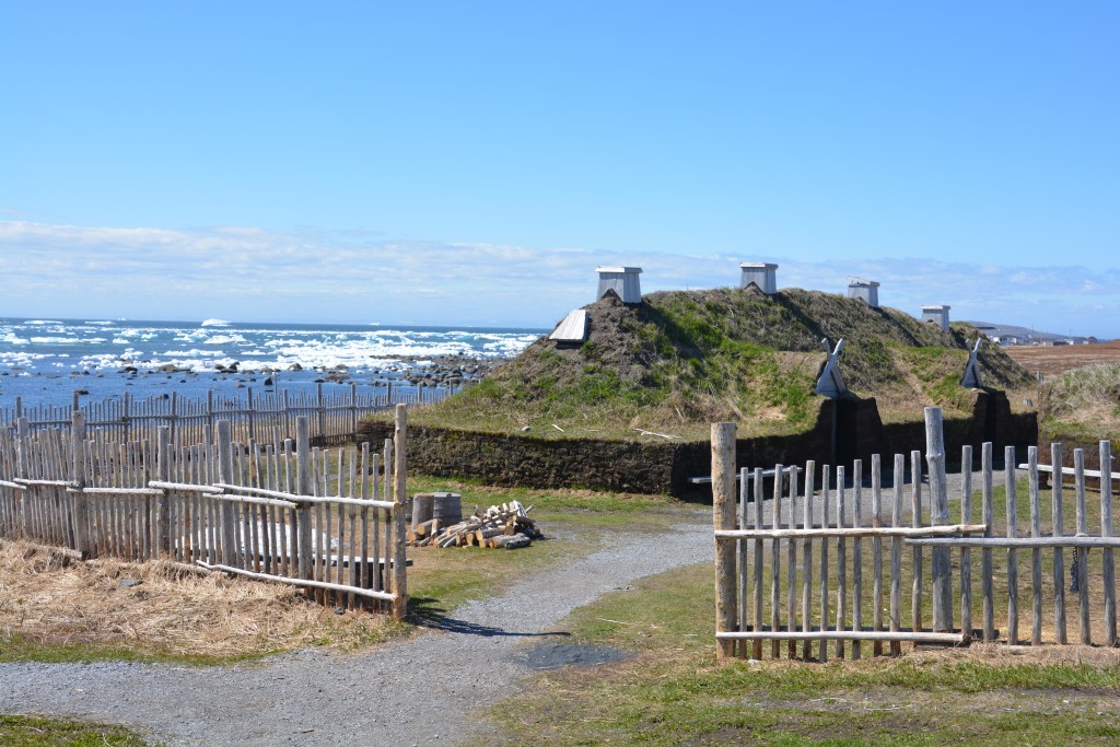
The recreated Viking buildings of L’Anse aux Meadows – a really standout experience for us in Newfoundland
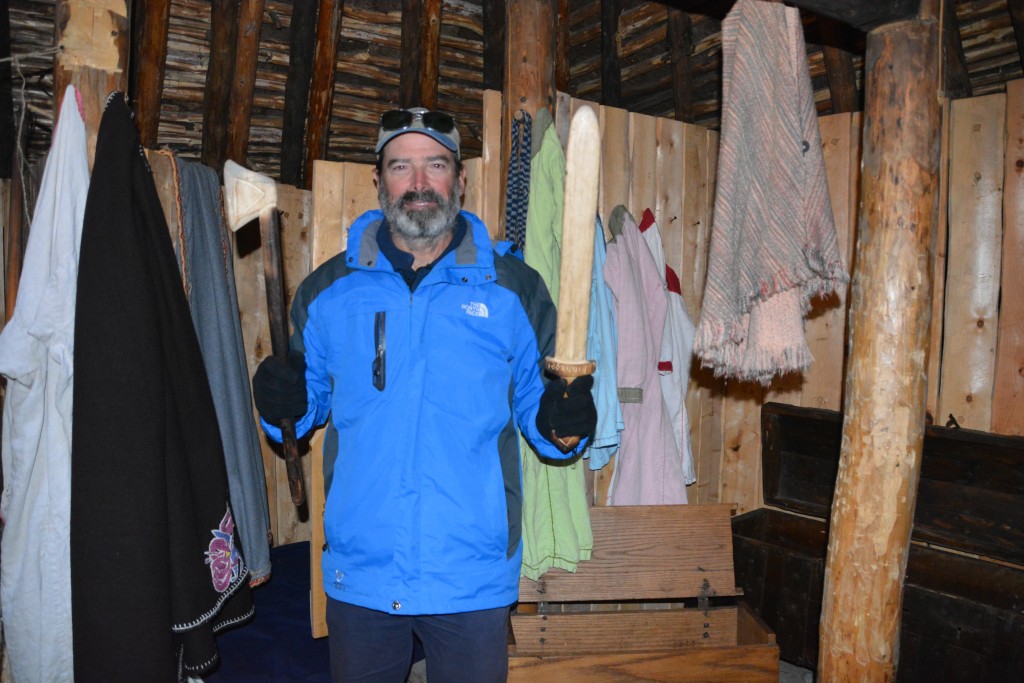
We walked through the original site where archaeologists found the substantial evidence of the Vikings’ village, an awesome experience to think these brave sea-faring explorers landed here and used it as a base to further explore these parts. We also explored the recreated peat brick homes that were built to duplicate life as it was 1,000 years ago, warm and cosy but very basic living conditions. And all this on this little secluded bay filled with beautiful white and blue icebergs, a cold wind blowing across the water and crystal clear blue skies all above.
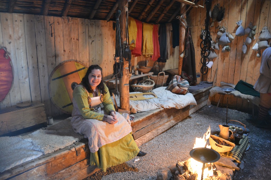
A local Viking from 1,000 years ago told us about what life is like for her living in this peat house
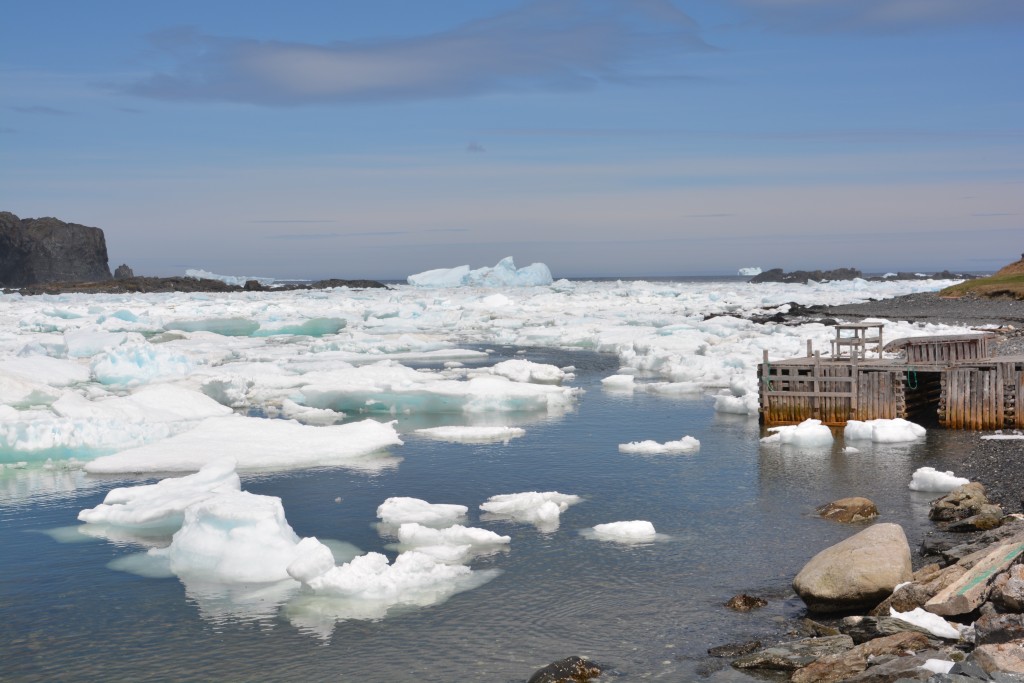
We also visited a few other small bays, filled with icebergs while the locals were going about their normal spring business, repairing homes, chopping and stacking firewood, mending crab traps. We wondered if they ever looked up from their chores and said “Wow – this place is beautiful!”
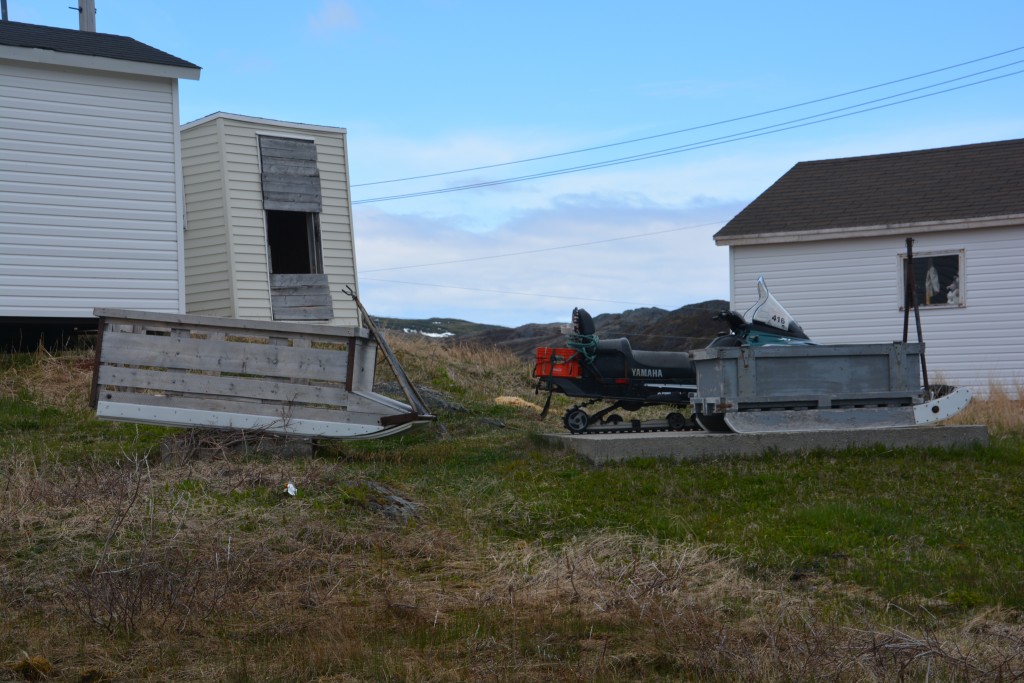
These are two of the outstanding features in any local home’s front yard – a snowmobile and a sled (or two!) that they use in the winter to carry goods
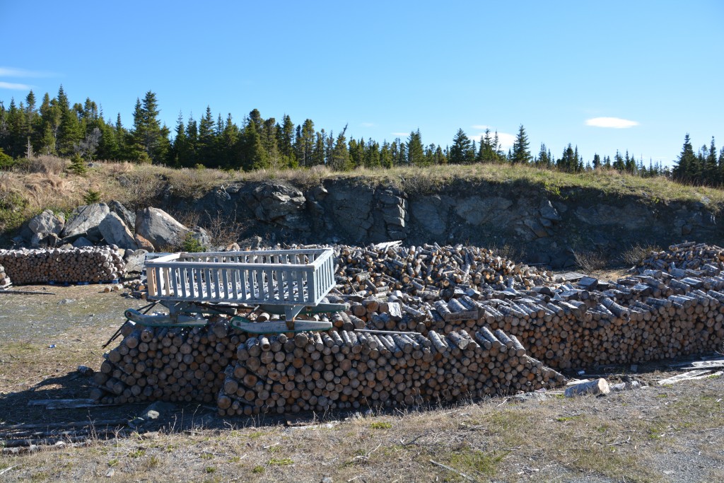
Another typical scene – some local bloke has got his firewood needs sorted out for a few years, thanks to his trusty sled
We made our way to the local provincial park for an official camp site and showers but lo and behold, they were closed, opening tomorrow. A local later told us there was still too much snow in the campsite so they’ve had a late opening. So we free camped again, amongst a huge pile of neatly stacked firewood, fresh moose prints in the soft boggy soil, sun shining until 10pm, cold wind whipping the fire in all directions, temperatures dropping to 2C (35F). Our grand idea of following the sun wasn’t really working right now.
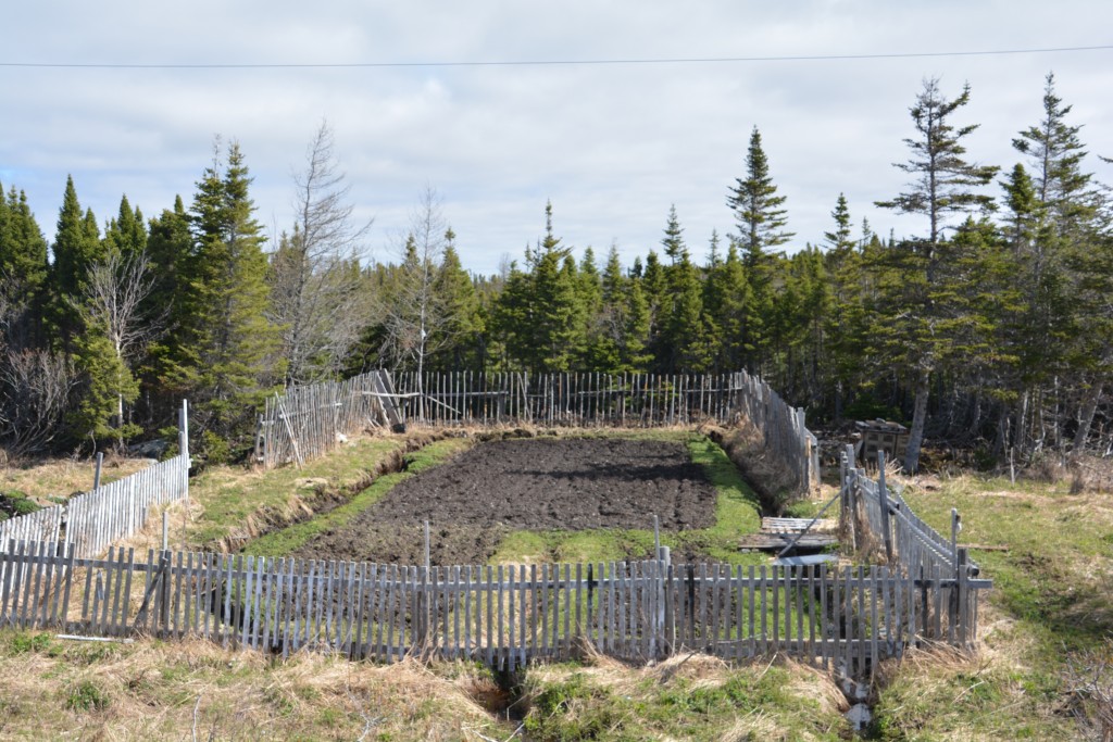
Another fascinating feature of Newfoundland was the private garden on public land near the roadway. In the spring the locals will plant potatoes, onions, cabbage and other cold weather crops
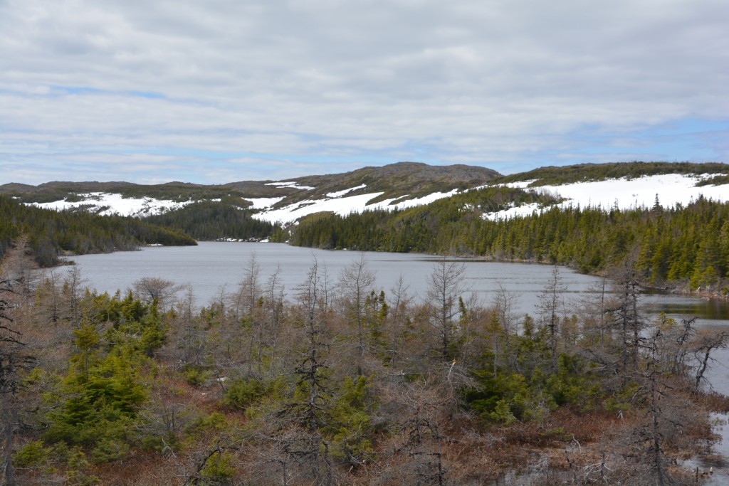
We spent our last day in Newfoundland doing a scenic loop of the northern peninsula on a side road mostly used by residents of some small communities on what is referred to as the French Shore. We saw a small group of caribou grazing in a field and a mother and her new baby in the shade of a tree near the road. There were few other signs of life as the road passed through impenetrable spruce and fir forests with the occasional babbling brook running down to a mountain lake.
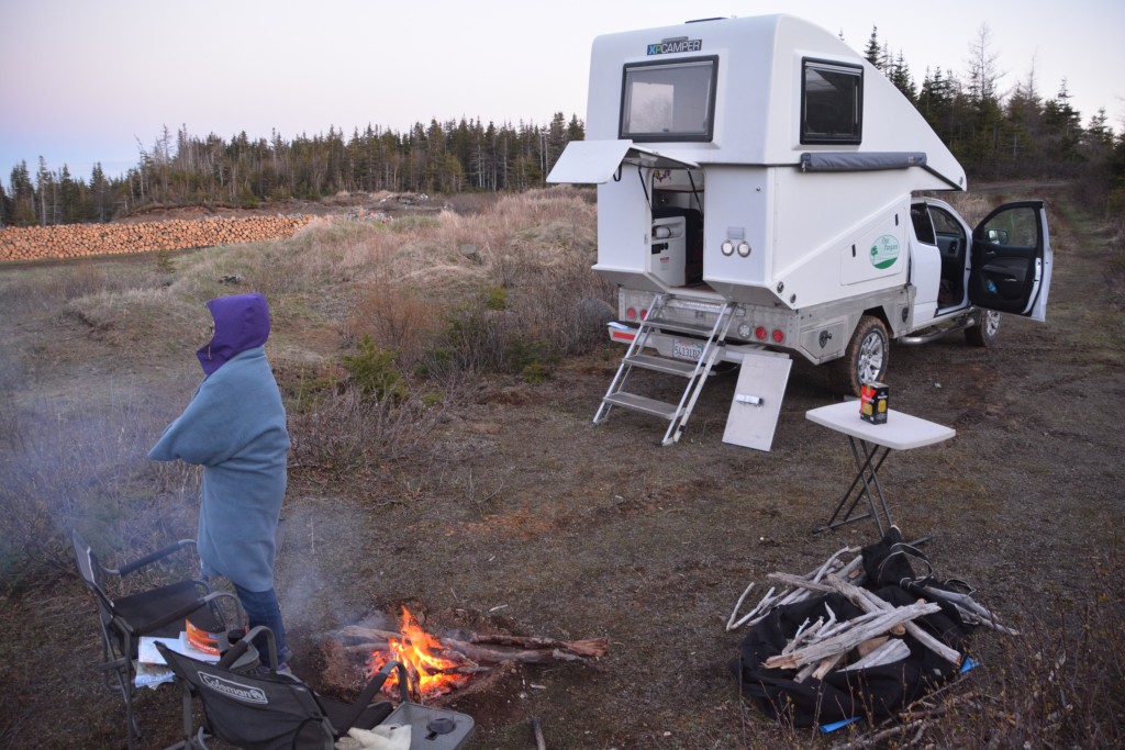
Another day, another bush camp, another beautiful spot, another cold night. But the cold kept the bugs away so its not all bad! (See the long stack of firewood in the background.)
At one stage we saw an obscure sign saying ‘Underground salmon pool’ which didn’t make any sense to us so we headed off on a rough dirt track to explore. It turns out the local river which salmon use to spawn in season actually flows underground through caves a couple of times but the salmon are happy to swim upstream underground as part of their normal journey. We stretched our legs over the short walk through the woods to explore this phenomenon. Very cool.
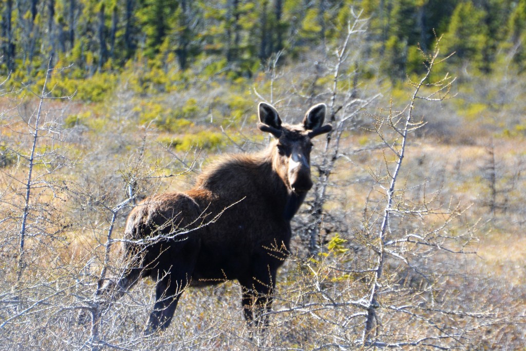
A young male moose appeared by the side of the road, just starting to grow his antlers for the rutting season this September
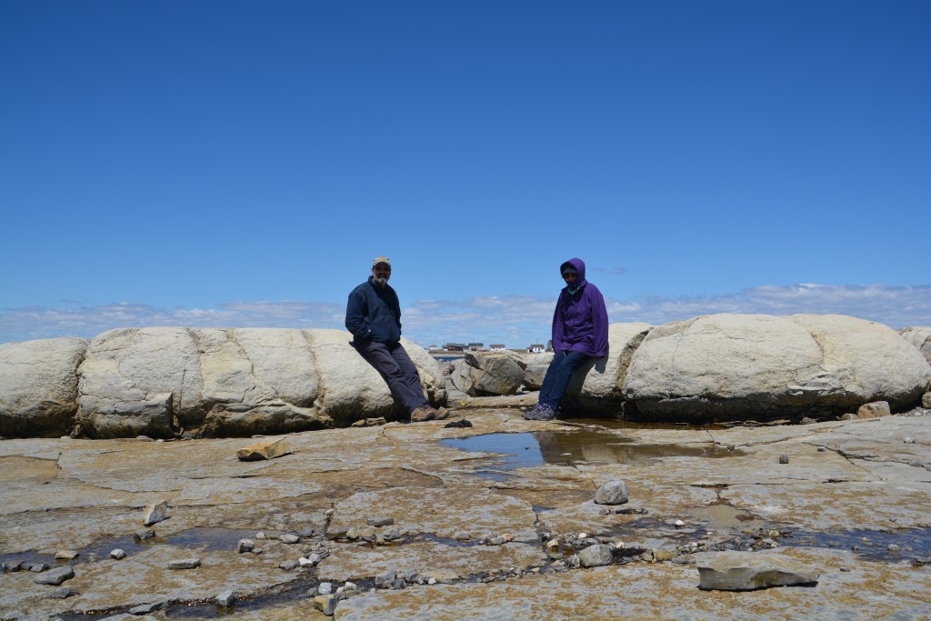
We also stopped at a place on the coast boasting thrombolites, the very first forms of life on earth. These ‘living rocks’ somehow formed as single cell organisms up to 3.5 billion years ago and supposedly all future forms of life spread from this beginning. There are only two places in the world where you can see this rare event – one at Shark Bay in Western Australia and one at Flower Cove in Newfoundland. And now Julie and I have seen them both!
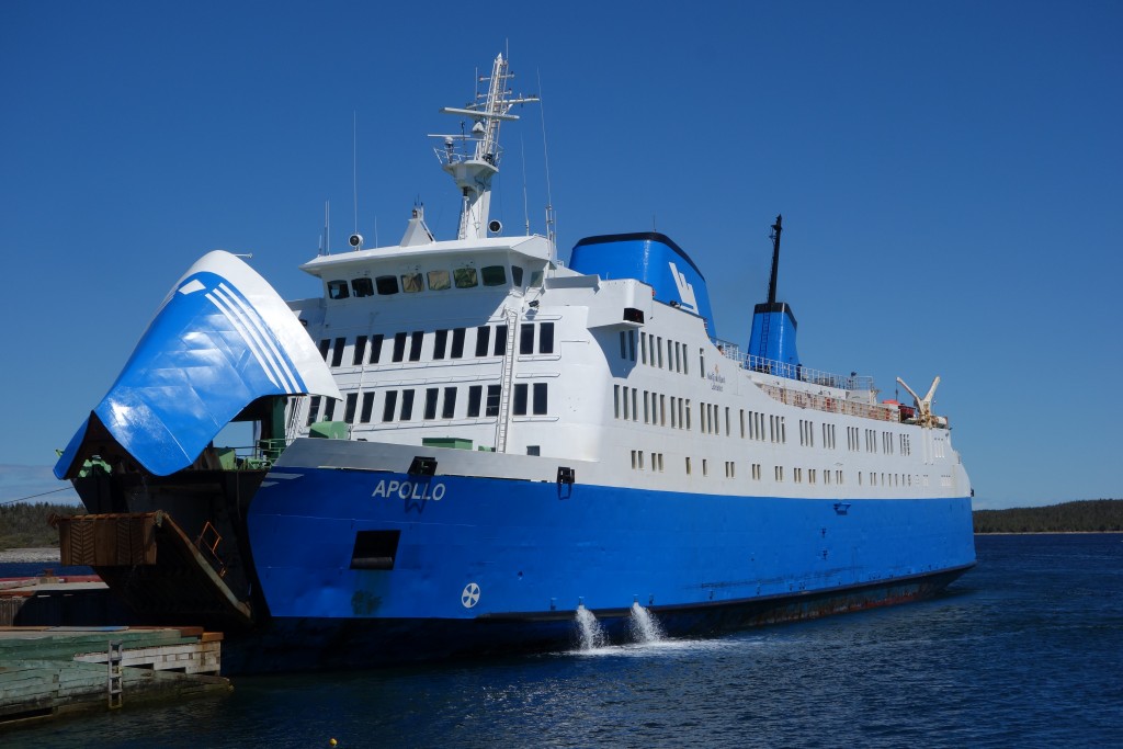
Then it was on to St. Barbe where we caught our ferry across the Labrador Straight to the little town of Sablon Blanc. This port town is actually in the neighbouring province of Quebec but within a couple of miles we had crossed over into Labrador and begun our journey through this vast empty land.
This marked the official end of our visit to the Maritime Provinces, a fabulous place full of great travel experiences and some of the most spectacular scenery we’ve ever seen. We knew we would have to come back some day and explore it again in more detail. This ferry crossing also marked the end of our ‘northern’ journey from Key West Florida and from now on we would more or less be travelling westward to Alaska. Wow!
Spectacular!
We agree Kathy! Everyone should visit Newfoundland – it has been the favourite part of our trip so far – and we only saw half the island. A great excuse to come back again someday!
Bill