The Rock
Our first view of The Rock, as Newfoundlanders affectionately call their island, was glorious. We were standing on the deck of our huge ferry as it pulled into the little harbour of Port aux Basques in the southwestern corner of this huge province. The early morning sun was shining brightly on the freshly painted little homes on the nearby hillside and the distant hills still featured larges patches of snow from the passing winter. We had the sense that even after almost two weeks in Canada’s Maritime Provinces we were entering another world and couldn’t wait to explore it.
The province of Newfoundland and Labrador to be precise, because even though the former is an island and the latter is a huge expanse of northern mainland they are both counted as the same province, is one of the least visited areas of Canada and is known for being remote, undeveloped and perhaps a little different. We had been told a couple of times that while in Newfoundland we had to “drink screetch and kiss a cod”. Screetch is some sort of local rum moonshine and kissing a cod is, well…altogether a bit fishy.
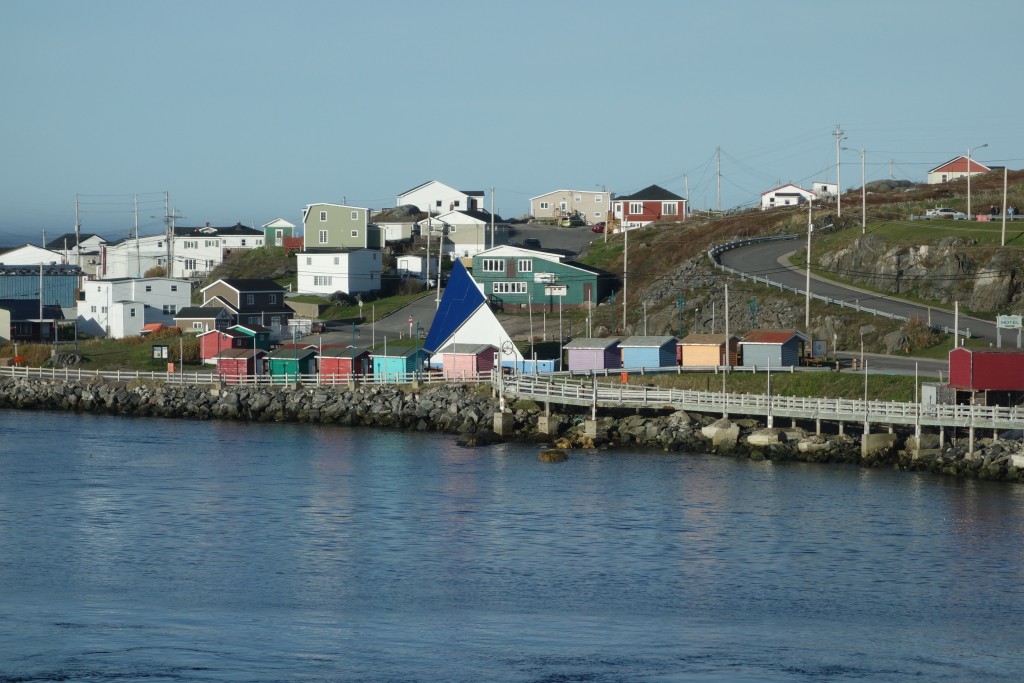
Our first view of Newfoundland – and to be honest probably the most colourful we saw the whole time there
The island features basically one road that runs along its backbone with a few smaller tracks off to coastal areas and one major offshoot that heads north towards the mainland and the ferry to Labrador. Our plan, such as it was, was to spend a few days exploring the island before crossing over to Labrador and starting our long drive across Canada to Alaska.
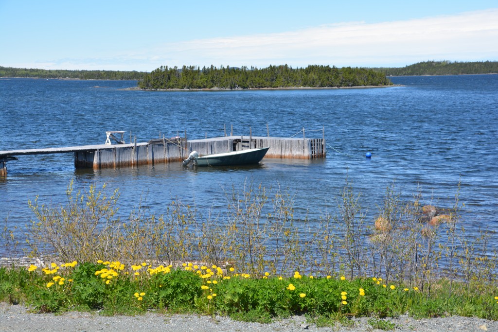
There must be a thousand lakes in Newfoundland and the spring sunshine brought out some extra colour
But Newfoundland is a big island and not easy to cross on a whim. The grandly-named Trans Canada Highway, or TCN, is mainly two lanes, in good condition in places and shocking in others, winding through dense forest, around long pristine lakes and through an occasional town which might feature, if you’re lucky, a petrol station and convenience store. From the port where we got off the ferry to St. Johns, the capital, is almost 1,000 kilometres. That’s a long way at our pace, especially when you are hunting for moose.
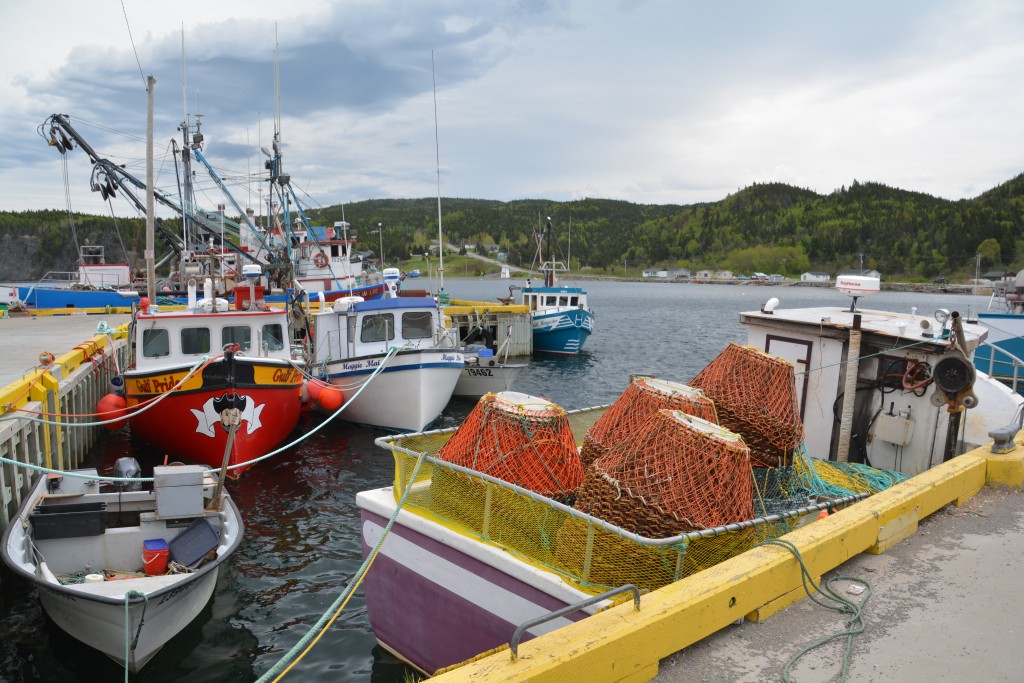
Fishing boats fill every little protected cove with either their rectangular lobster traps or their large round snow crab traps
The moose of the Maritime Provinces had proved elusive. We had them seen on T shirts, tourist maps, warning signs not to hit them, their antlers adorned many old barns and we had heard of the chance of eating moose burgers or enjoying Moose soup. Even Julie’s big ‘moose detectors’, sometimes referred to as binoculars, had failed us. To us they were still a myth.
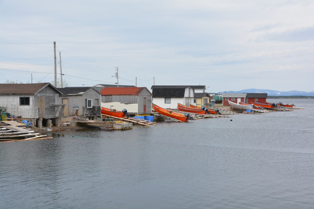
Smaller boats are often pulled out of the water every night on handmade planks to protect them in large storms
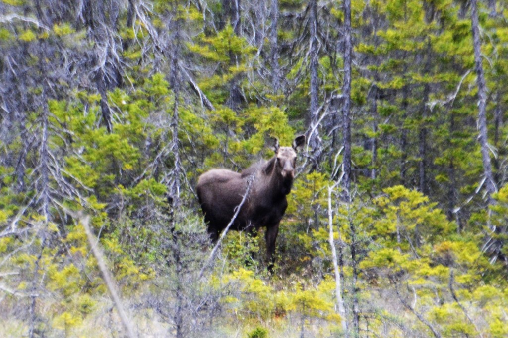
But the first day in Newfoundland delivered on the moose, big time. The first one we saw was high on a cutting above the highway, his silhouette on the blue sky unmistakable. We circled back and climbed up to see him again but he had disappeared. The second moose was grazing on the edge of a meadow, we stopped and took photos, goggled him through the detectors, enjoyed the moment.
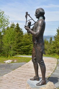
What a small world! As it happens, Captain James Cook is a hero in Newfoundland for his detailed mapping of the island
At the town of Corner Brooke we had a strange Australian experience. In the mid 1750’s a young James Cook, who was a Master on a British sailing ship, explored the coastline of Newfoundland and even took part in the siege of Louisbourg, the historic French fortification we had visited in Nova Scotia the day before. He became quite adept at surveying and spent almost five years providing a detailed map of Newfoundland and surrounding areas, so accurate it was used for the next 150 years. These excellent surveying skills, along with his interest in astronomy and his strong leadership and sailing skills led him to eventually explore the South Pacific for Britain and ‘discover’ Australia and New Zealand in 1770.
In Newfoundland, Cook’s understandably a bit of a hero and his handsome statue and tribute to him sits high and proud on a beautiful site overlooking the town of Corner Brooke. It’s not often our travels have had a brush with Australia so this whole thing was very cool. And in honour of him we followed a side road down the large Humber Arm inland waterway to the sea, all of which he had explored in detail, a beautiful drive through high cliff mountains, cascading waterfalls, little fishing villages and at the end of the road a picturesque Bottle Cove for lunch and a knock-me-over windy walk out to the point.
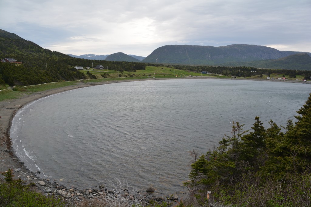
Stunning views of Bottle Cove, all carefully measured and mapped by Captain Cook in the mid 18th century
That night we found a little clearing near a boat ramp on yet another unnamed lake and camped for the night, pushing further northward and eastward on the TCH the next day. Our goal was a town on the north coast of Newfoundland, passing through a series of islands interconnected with causeways and bridges, called Twillingate. Twillingate and its surrounding fishing villages wouldn’t have much pull for us normally but this time of year it features one amazing oddity of world – icebergs.
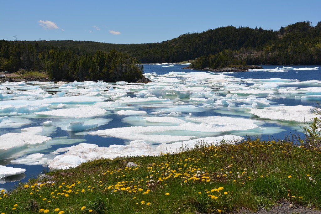
Really? Icebergs? They break off from Greenland and take up to three years to run ashore in northern Newfoundland – but are only seen at this time of year.
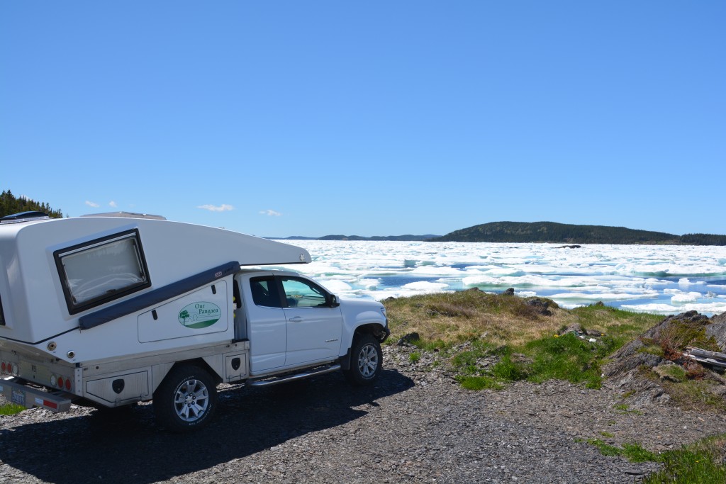
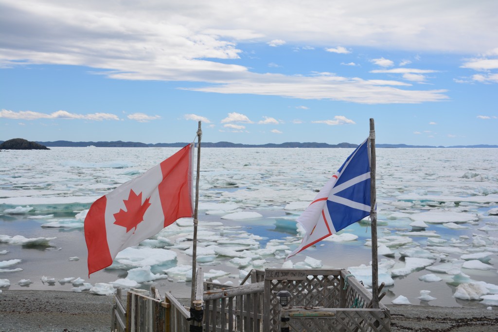
We were told we might see a few icebergs so we were blown away by the scale – icebergs crammed into the protected harbours and coves, sometimes literally as far as we could see
As it happens, many thousands of icebergs calve off of Greenland every year and float down with the prevailing winds and currents over a period lasting up to three years in what is referred to as Iceberg Alley until they hit the northern shores of Labrador and Newfoundland. Here they nestle up against the shores, get caught in the shallow bays and live out their final months until they either melt or get blown away again. And not just a couple of small icebergs. We’re talking thousands and thousands, as far as the eye can see. Crazy but true.
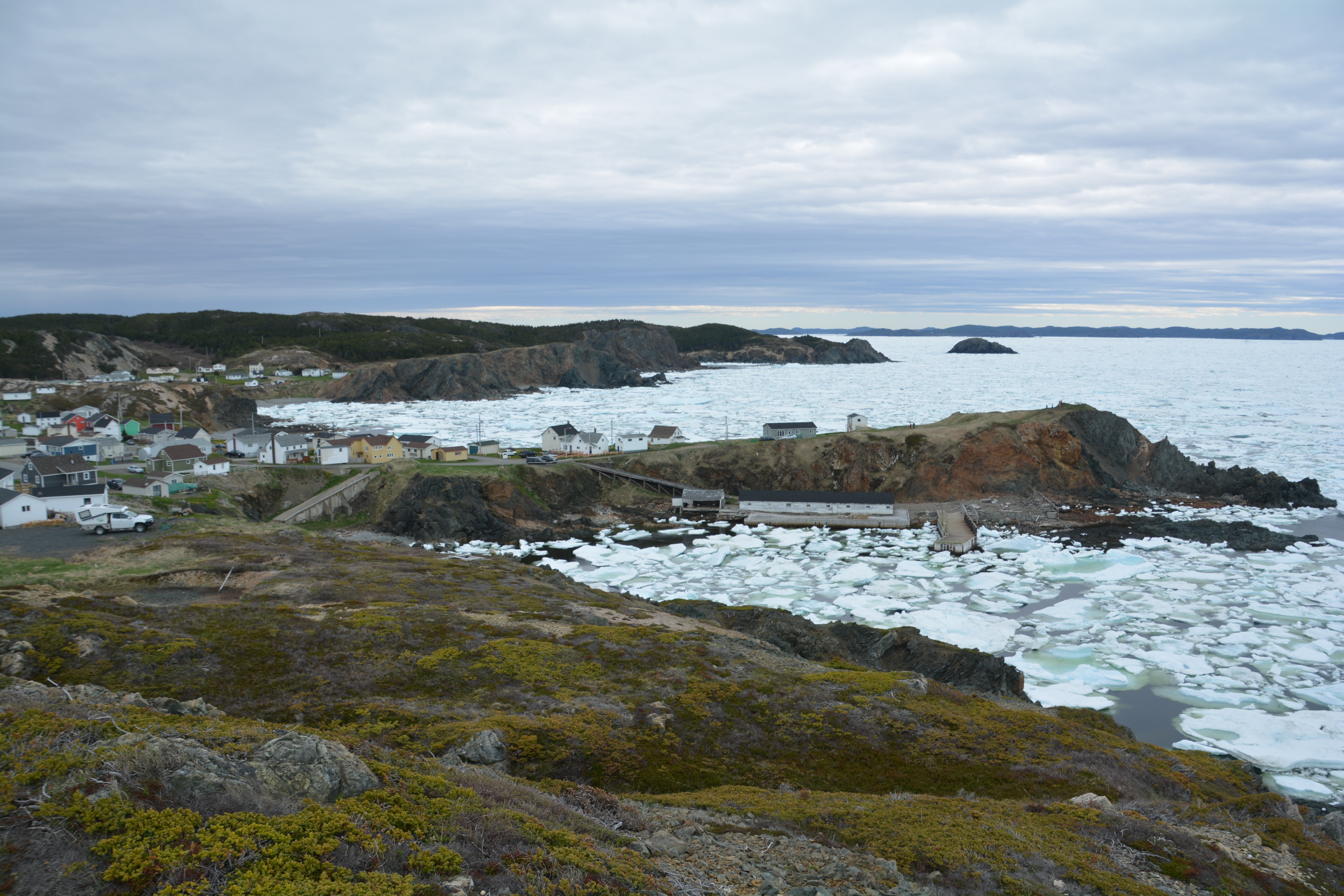
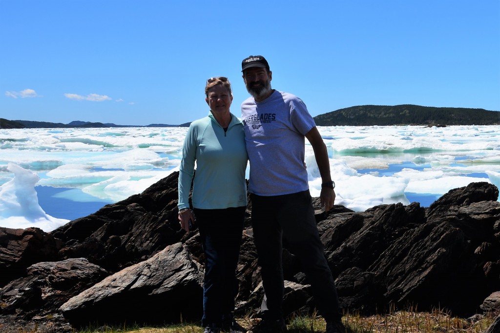
We’ve seen icebergs before, that’s for sure, but only in places where they are supposed to be like Antarctica or at the foot of a New Zealand glacier. That’s normal. And even though we are at the 49th Latitude, which is pretty high, that normally wouldn’t feature icebergs. But here they were, glimmering in the sunshine, packed into small coves, against fishing piers, stranded on shallow rocks, piling up in huge bays. We drove up and over and around each little interconnected island, through the quaint little villages with their super-modest little homes overlooking a vast pack of icebergs, local fishing boats trapped in, some bergs washed up on the rocky beaches. Crazy stuff.
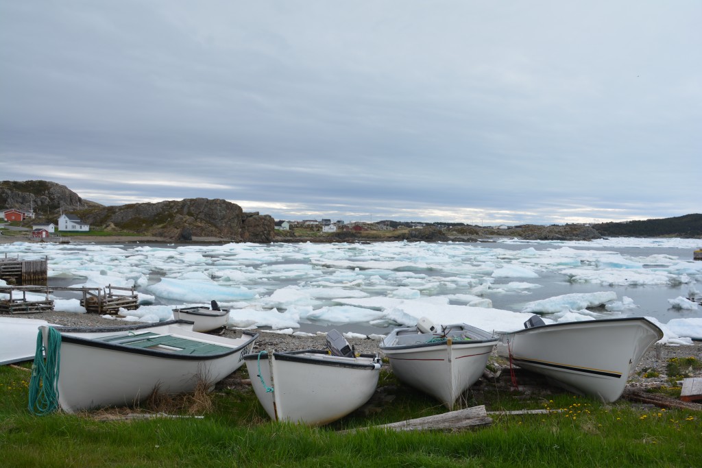
When the icebergs are in the harbours the ships are grounded and all their lobster and crab pots go unattended
We were told they are usually only in the area for May and June, after which they either get blown away by new winds or they eventually melt. By July there are usually very few if any left. Which is good because this time also coincides with the lobster season and the fishermen have their lobster traps set below the bergs and can’t get to them when the ice is packed in tight.
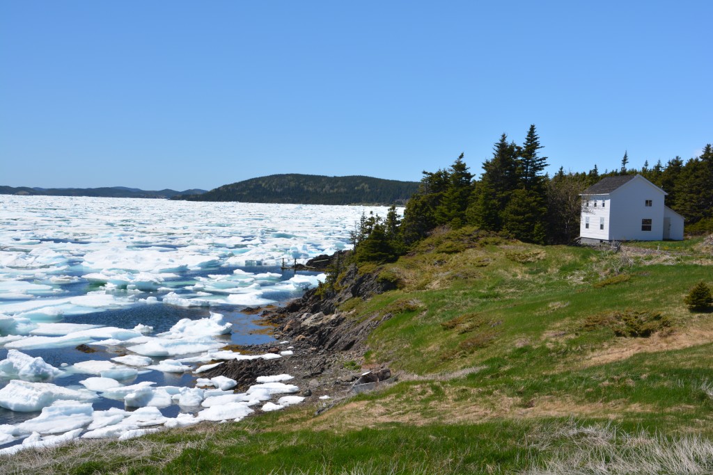
Another beautiful iceberg moment – imagine living here and having this happen in your backyard every year
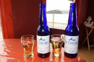
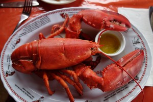
That night as a special treat we ate at a local seafood restaurant on a wharf hemmed in by icebergs. As we ate our huge local lobsters and drank the local Iceberg beer (made with water from 20,000 year old icebergs!) we stared out the window and watched the early evening sun (yes, still sunny at 8pm) reflecting off the blue ice of the bergs. You couldn’t have written the script any better.
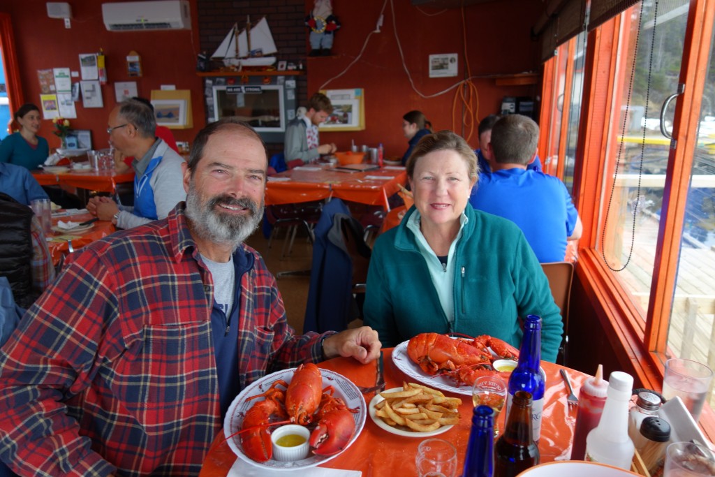
A special treat, and why not! Dining on beautiful lobsters while looking out at a bay full of icebergs – as you do!
After a night camping at the oddly named Dildo Run Provincial Park we began to retrace our steps way back to Deer Lake on the Trans Canadian Highway. We’re on a mission to catch a flight in 22 days from Edmonton. Alberta to Reno Nevada to attend our nephew’s wedding and that requires a bit more planning than we’re used to. We’ve estimated we can get there comfortably from Newfoundland as long as we turnaround at Tillingate. We now realise Newfoundland has much more to offer and we didn’t get a chance to explore the eastern section but we’ve been sure to allow time for their high profile Gros Morne National Park and other features on the west coast. We’ll have to come back some day.
Comments
The Rock — No Comments
HTML tags allowed in your comment: <a href="" title=""> <abbr title=""> <acronym title=""> <b> <blockquote cite=""> <cite> <code> <del datetime=""> <em> <i> <q cite=""> <s> <strike> <strong>