O Canada
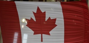
The unique Canadian maple leaf, flown proudly in equal proportions to the US, quite a standout national symbol
How much different can Canada be to the US? Sure, there’s different currency, different national sports, two languages, an odd flag, a Queen, provinces instead of states, kilometres and litres instead of miles and quarts, and perhaps a defensive posture that they are not Americans. I get that, for sure, and national pride is uber important but will Canada stand out as being unique in our experiences while travelling through there? We were about to find out.
Our plan for the next few weeks is to explore what are called the Maritime Provinces, or the Maritimes. This is made up of the smallish provinces of New Brunswick, Prince Edward Island (really small), Nova Scotia and Labrador and Newfoundland (the last two are actually one province but geographically separate). This area is known for being sparsely populated, focused on fishing and perhaps some forestry and mining, wetter weather, shorter summers and much less developed. In other words, perfect for us to explore.
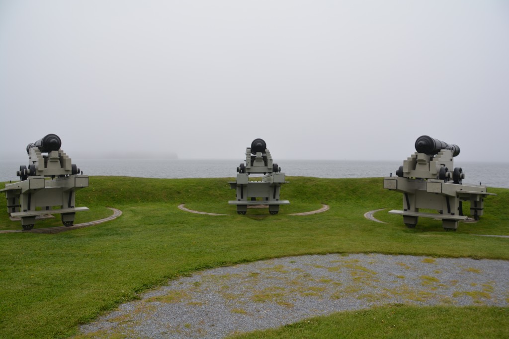
Our first scene in Canada was an old military post protecting the homeland from non-existent American invaders
Our first day was spent exploring the southern reaches of New Brunswick after we camped the first night on the Bay of Fundy. This bay is famous for having the largest tides in the world, up to 15 metres (50 feet) and it seemed most tourism activities were centred on leveraging this unique and fascinating phenomenon.
We started in the gritty port town of St. John, the thick fog low and hard against the water, making visibility of the coastline and city features almost impossible. It didn’t stop us from trying a local ‘delicacy’ call a beaver tail which was essentially a thin flat crispy fried dough covered in your choice of cinnamon, maple spread or chocolate. Score one for Canadian uniqueness.
The town was pleasant enough, doing the best it could with what it had to work with, and we saw the port area with the long floating jetties and the tall wharf walls to cater for the huge tides. New Brunswick, and St. John in particular, played an interesting role in the American Revolutionary War. Many thousands of British loyalists fled the US in the late 18th century and moved to New Brunswick, the first land north of the border, to avoid any conflict with the warring American government. They prospered in the area and still to this day there is a strong loyalist British sentiment.
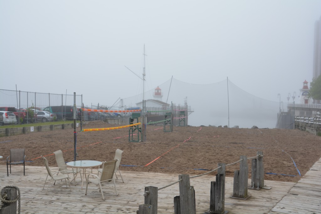
Beach volleyball anyone? These outdoor courts in downtown St. John look way out of place in the heavy fog and cold wind
We visited the narrow chasm where the huge St. John River flowed into the Bay of Fundy but which featured what they called the ‘reverse waterfall’. When the tide is low, such as when we were there, the river rushed through this narrow gap and into the swirling bay as per normal. When the tide is high the reverse happens and the bay rushes into the river, forcing it to flow upstream. Score again for Canadian uniqueness.
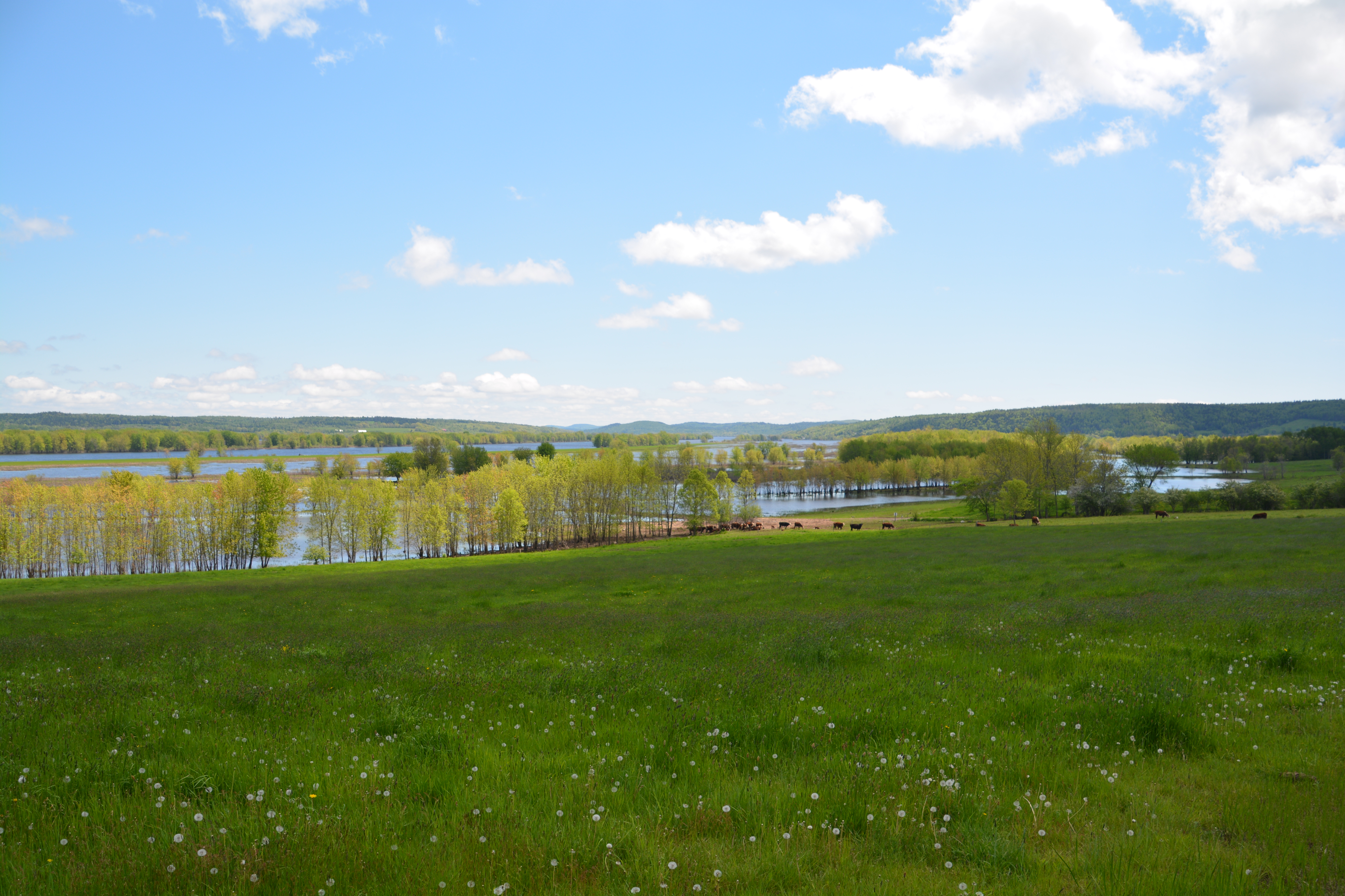
From there we moved north along the banks of the St. John River, a beautiful wide river lined with small little villages, rolling green farm fields and thick forest. This was a harsh land for farmers, covered in snow for winter, a short growing season and fair distances between settlements. The road was in poor condition, the barns old and weathered but the sun was finally shining and all the new spring growth meant the fields were thick in grass, the cows were fat and the flowers were dazzling. Great stuff.
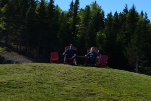
Red Adirondack chairs are sometimes seen in the oddest places – including this scenic lookout in Fundy NP
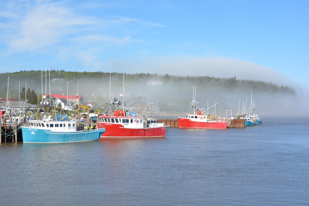
We eventually made our way to Fundy National Park which preserves some beautiful country near the bay itself and draws visitors to see these amazing tides. We camped in the park near the coastline and walked into the little town of Alma, blanketed in swirling fog that added a surreal experience to the area, where we explored the shops and had a couple of Moosehead beers in a local pub to celebrate the moment. Our waiter, a local lad, told us Alma in the winter, where the snow is deep and the temperature can get to minus 20C, has only about 200 people but the lobster fishermen still go out when the tide is right. The town is busy in July and August but otherwise curls up and tries to stay warm.
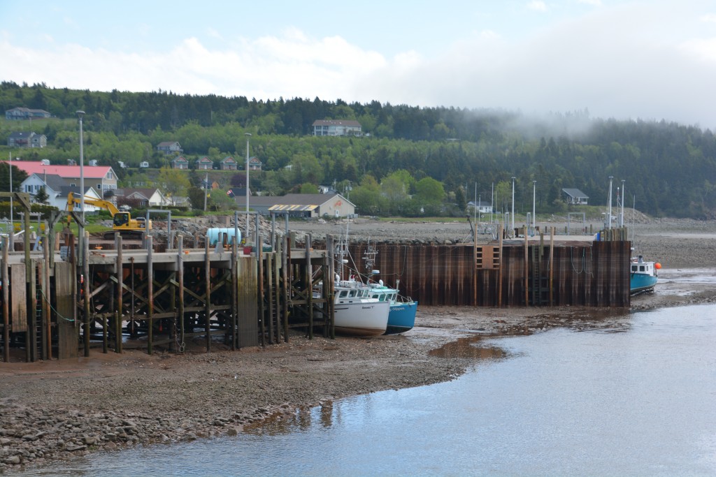
The same scene the next morning at low tide – you would never know I took these photos from virtually the same spot
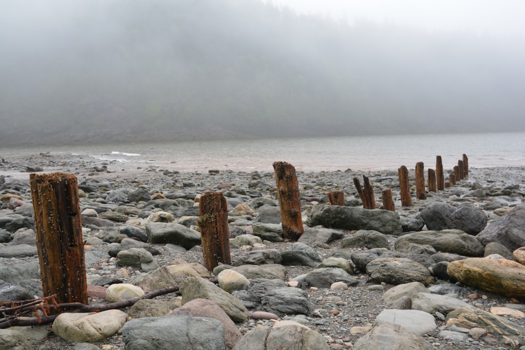
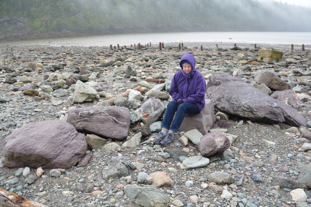
The next day we explored more of the park and did a couple of short walks, one of which took us down on the deep rocky shore where the tide was retreating. Kind of weird to think that from where we were standing there was 10 metres of swirling ocean only about four hours ago.
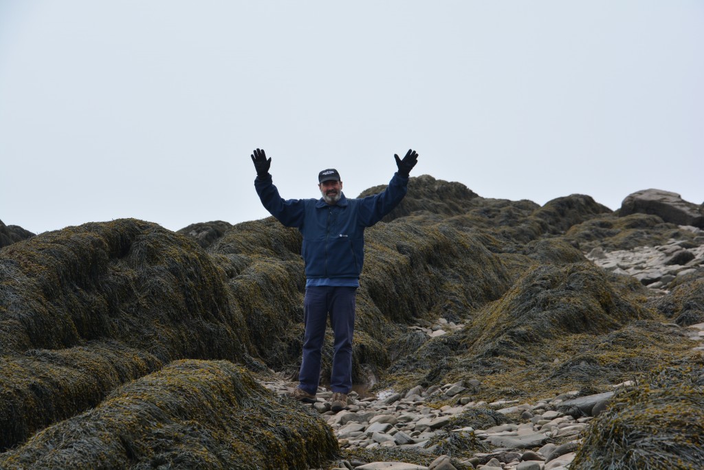
We then followed the coastline north to Cape Enrage, which wins the Best Name of the Year Award in our books, a lonely and cold lighthouse sitting out on a small point overlooking some the deepest tides in the world. The fog was so thick we needed the lighthouse’s foghorn, which sounds out every six seconds, to give us our bearings. We were there right at low tide and managed the steep steel steps down the cliff face to the rocky shore. We walked amongst the rocks and seaweed, basically walking on the ocean’s floor, looking up at the vertical cliffs that separate sea from land. A truly eerie and bizarre experience.
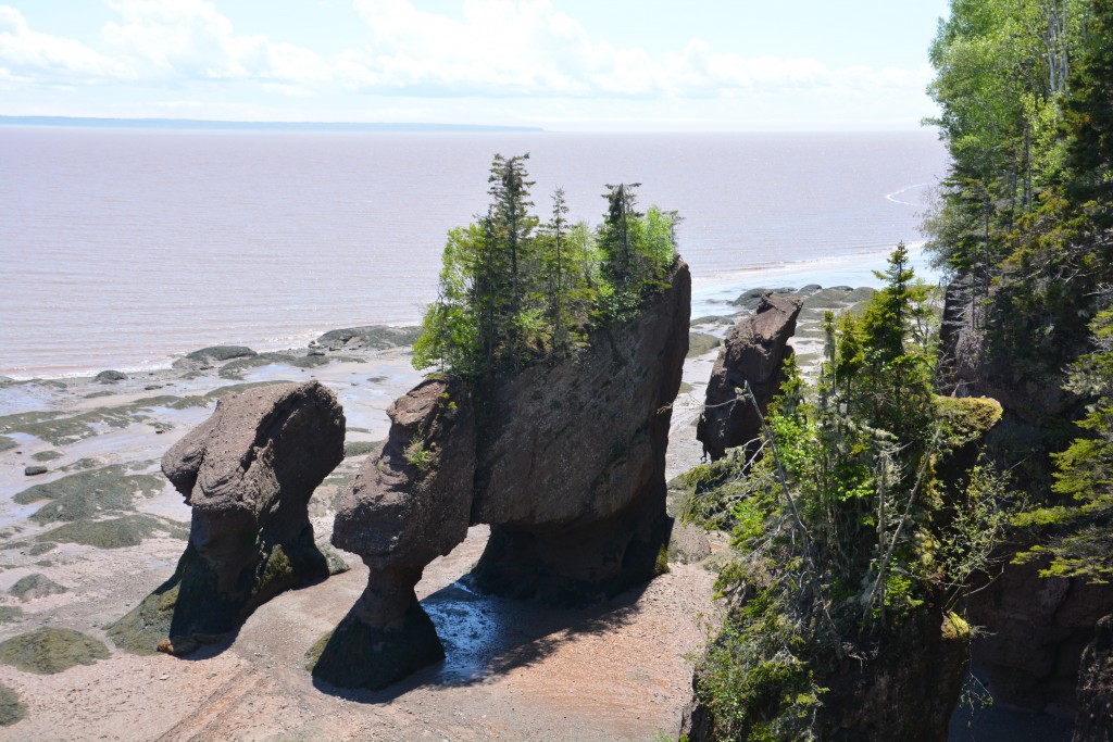
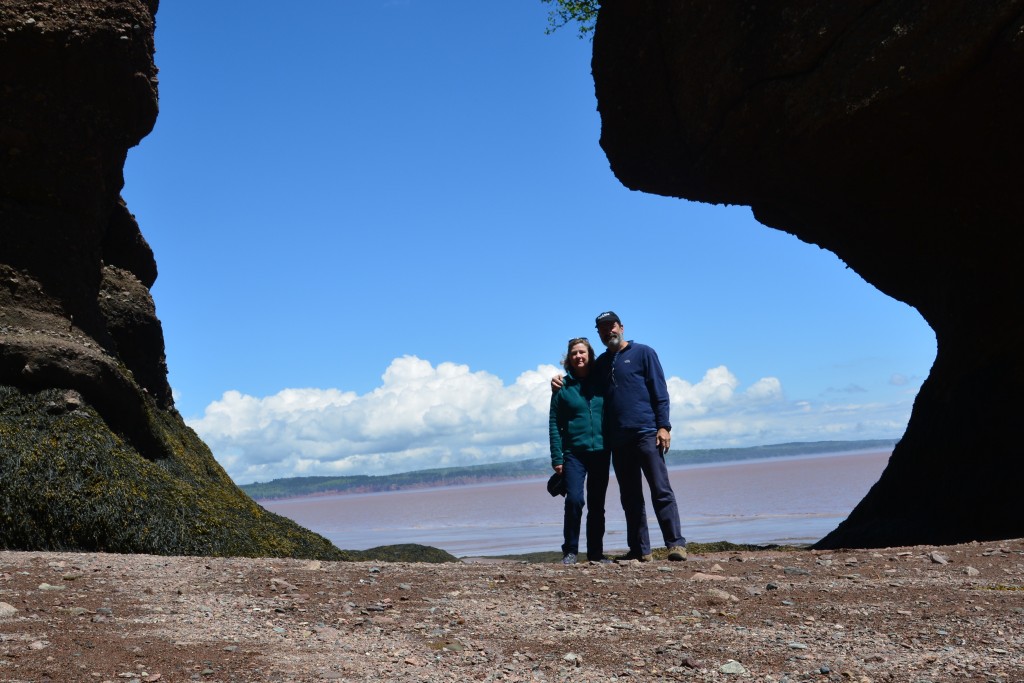
We followed the coast northward, marvelling at the rusty brownish mud that rings the ocean like a dirty ring around a bathtub. At Hopewell Rocks we walked down to a Canada’s equivalent of Australia’s Twelve Apostles, towering monoliths of stone with green trees on top standing strong on the muddy ocean floor. When the tide is out, as it was when we were there, people can walk amongst these giants, when the tide is in you paddle your kayaks amongst them. Our heads were spinning with all this amazing tidal stuff.
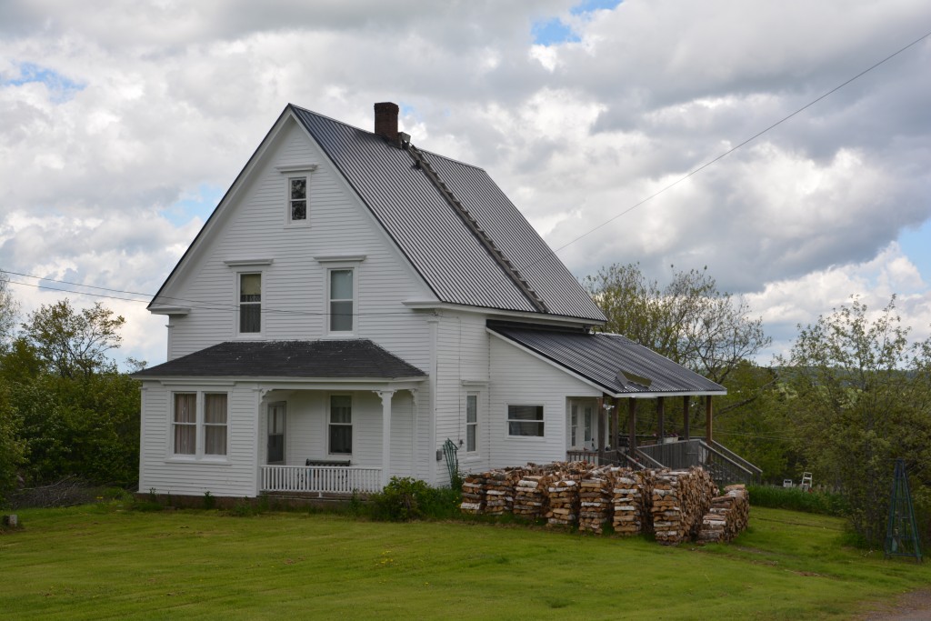
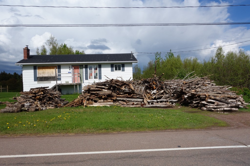
We finished our beautiful drive in New Brunswick with more rural countryside, long green fields, very modest homes, huge piles of cut firewood to keep their homes warm year round, many shapes and sizes and ages of barns, the ubiquitous ride-on mower and old pot-holed roads before reaching the Confederation Bridge. This bridge, which replaced a ferry about 20 years ago, runs 14 kms across the Northumberland Straight until it makes landfall on the island – and new province – of Prince Edward Island.
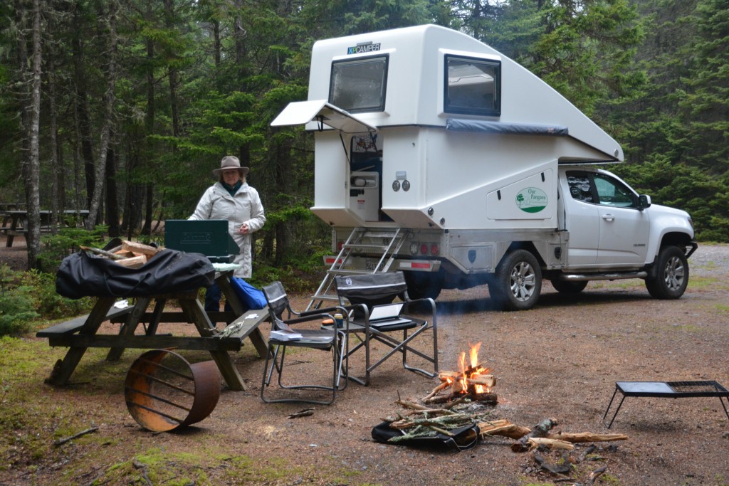
We camped that night at a provincial park on their first open day of the season – and had a huge grassy paddock of pine trees to ourselves to choose a spot to camp on the shores of the Straight. The girl in the office showed us photos of ice bergs the size of cars washing up on the shore of the campground just a month ago and told us the entire Northumberland Straight freezes over in winter. Snow can be up to 14 feet deep which creates huge challenges for the locals. Oh to have an Australian winter!
Good job Bill and Julie on your journal entries and photos. You both have so much energy and good info to share.
Thanks Eric. Sad news yesterday – my beloved Bald Top Brewing Company hat flew off on a windy bluff and ended up in the ocean way below. I’ll have to get another one next time we pass by your place. Take care, Bill