The Rio Grande
The Rio Grande is one of the most famous and iconic rivers in all of America. Yes, there is the Mississippi and the Missouri and the Colorado, they are all household names. But anyone who has watched an old western or followed the fortunes of the state of Texas or the issues between the US and Mexico know the Rio Grande as much more than a blue line on a map – it symbolises the difference between two countries, the division of life and in some cases, the gap in prosperity. It symbolises the power and influence of a grand river.
From the dry central plains of west Texas we travelled south to the scrappy border town of Presidio on the banks of the Rio Grande and saw how the cultures and economies of the US and Mexico subtly morphed together in this micro environment. We then travelled east along the river and into Big Bend Ranch State Park, one of the largest state parks in all of the US. Our plan, and our permit, was to camp at Grassy Banks on the banks of the Rio Grande in a remote spot in the middle of the park.
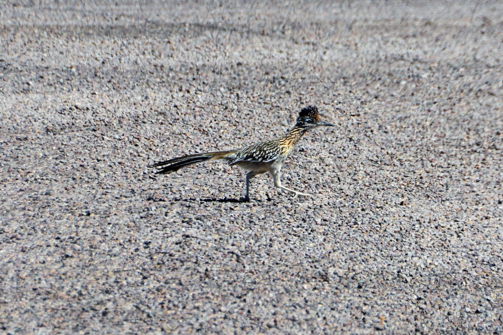
Along the way we finally saw a few roadrunners, the national bird of New Mexico, made famous by countless children’s cartoons. And yes, we mostly saw them running on the road, their distinctive long tails and smokin’ fast running style made them a stand out find.
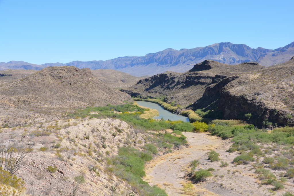
This drive immediately took on epic proportions with towering desert mountains on both sides of the river, lined with green trees and bushes, some of them in brilliant yellow bloom. After travelling many days through desert landscapes featuring many shades of brown we were totally overwhelmed by the brilliant green lining the banks of the river. In addition to many photo stops we also pulled up for two short walks down to and around the river itself.
When we saw the Rio Grande being born in the Colorado Rockies about a week ago it was a raging torrent of melted snow filling a narrow canyon. A thousand or more miles later it seems a smaller more sedate river, winding its way through the desert, perhaps being siphoned off for human use or evaporating in these arid lands.
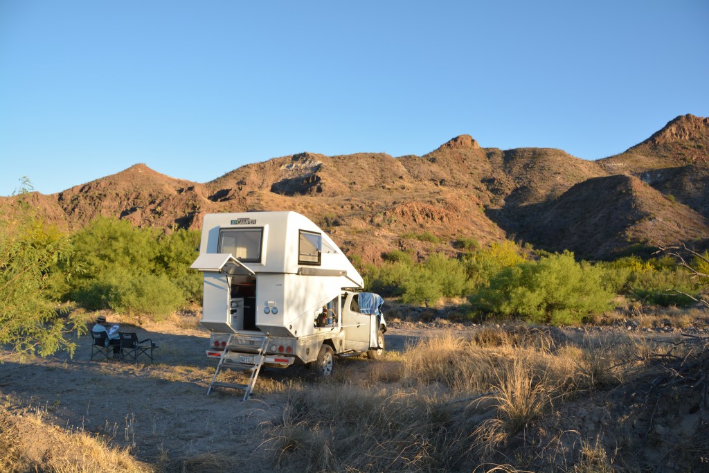
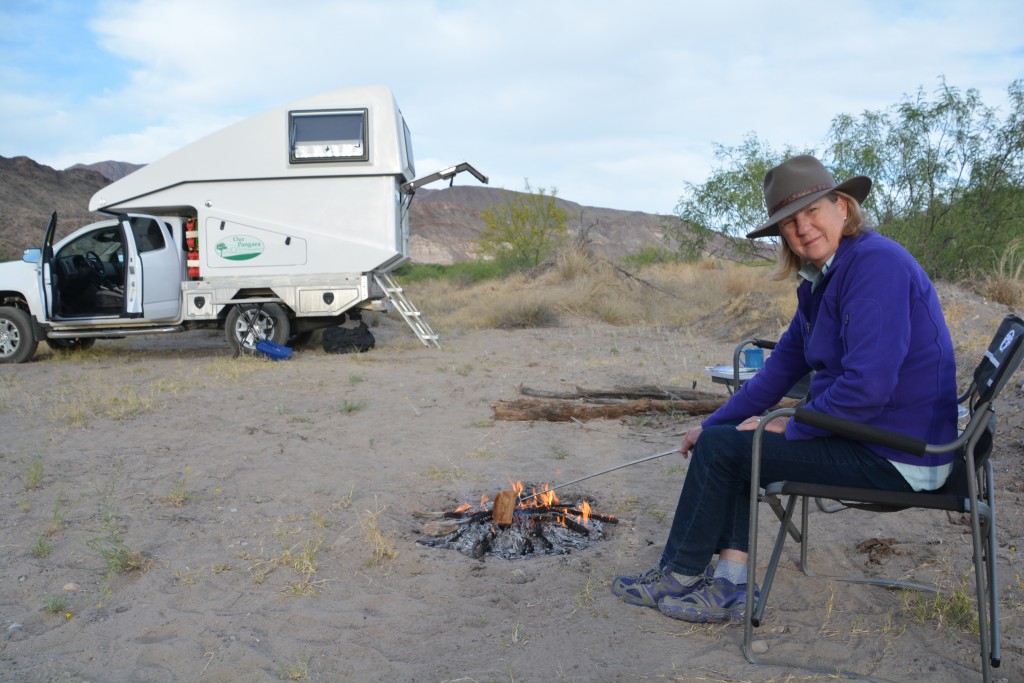
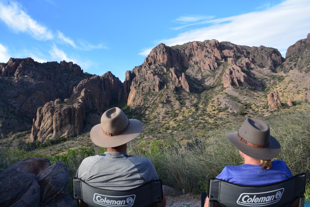
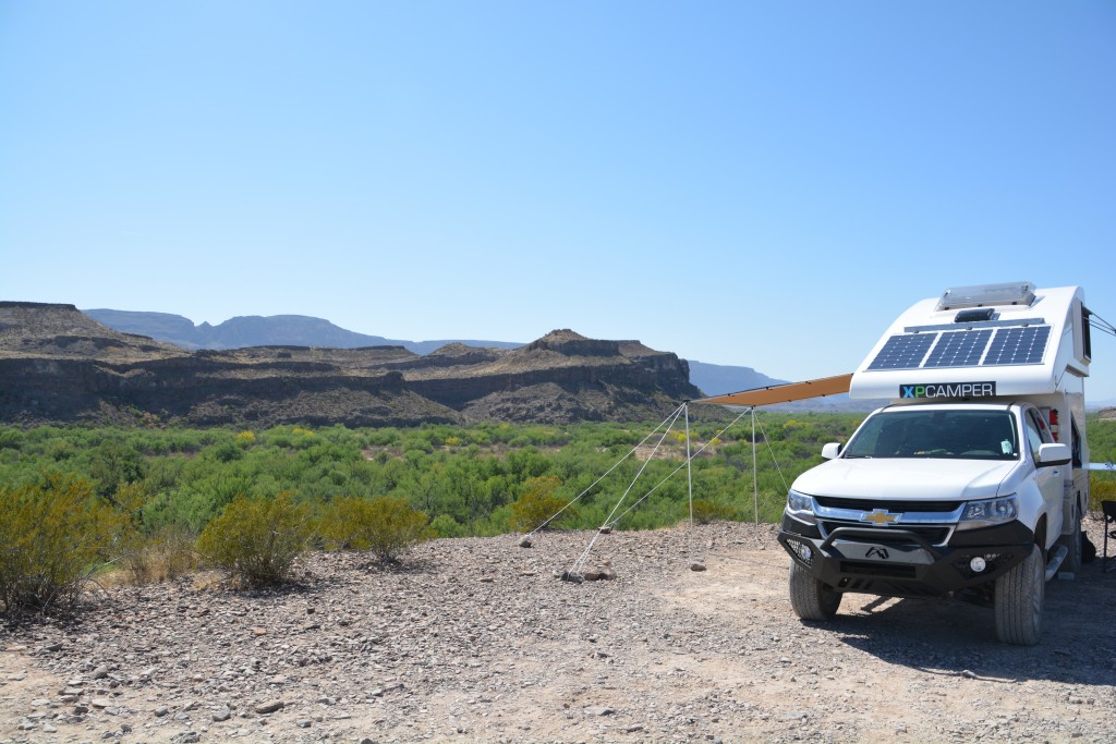
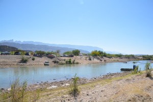
At Grassy Banks we found a beautiful quiet spot not far from the river’s banks with a grand view of high desert mountains towering over our camp. The odd part about this setting is that these beautiful mountains were actually in Mexico and it seemed impossible to imagine anyone would be travelling by foot from one side of the river to another, legally or otherwise.
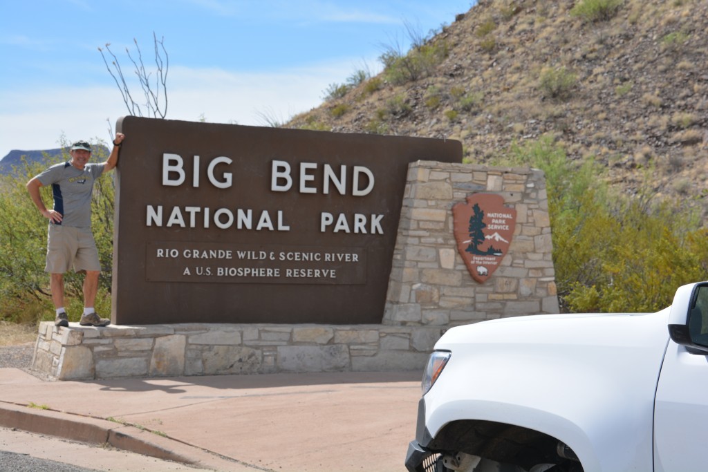
The Rio Grande dominates the area from an economic and geographic point of view but the dry desert mountains that scale upward from the river’s sandy banks create a dramatic backdrop to this beautiful land. We followed the road eastward, Mexico on our right hand side, along the river when the mountains allow, other times climbing 15 degree inclines up and over the next rocky outcrop. Eventually we were through the park and the little town of Lajitas before crossing into Big Bend National Park.
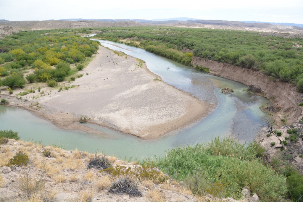
Through my many years of reading National Geographic and following the amazing features of America’s national parks there is one scene I have etched in my mind that I have wanted to see. It is a wide angle view from up high on a ledge of a big horseshoe bend of the Rio Grande in Big Bend National Park. From this viewpoint you can watch this mighty river carve its curved path through the harsh rocky desert. I’ve seen this view in Kodak but I’ve always wanted to see it for real.
Finally, I have my chance. After scoring the last camping spot in Chisos Basin, closed in by dramatic jagged mountain towers and spires, we went looking for this famous horseshoe bend of the Rio Grande. We asked a few Rangers and volunteers but the answers were inconclusive. This park is huge, really huge, and the desert/mountain drive from one place to another could easily be more than 50 miles. So we followed the map and some vague advice to search for this horseshoe lookout. I had to see it.
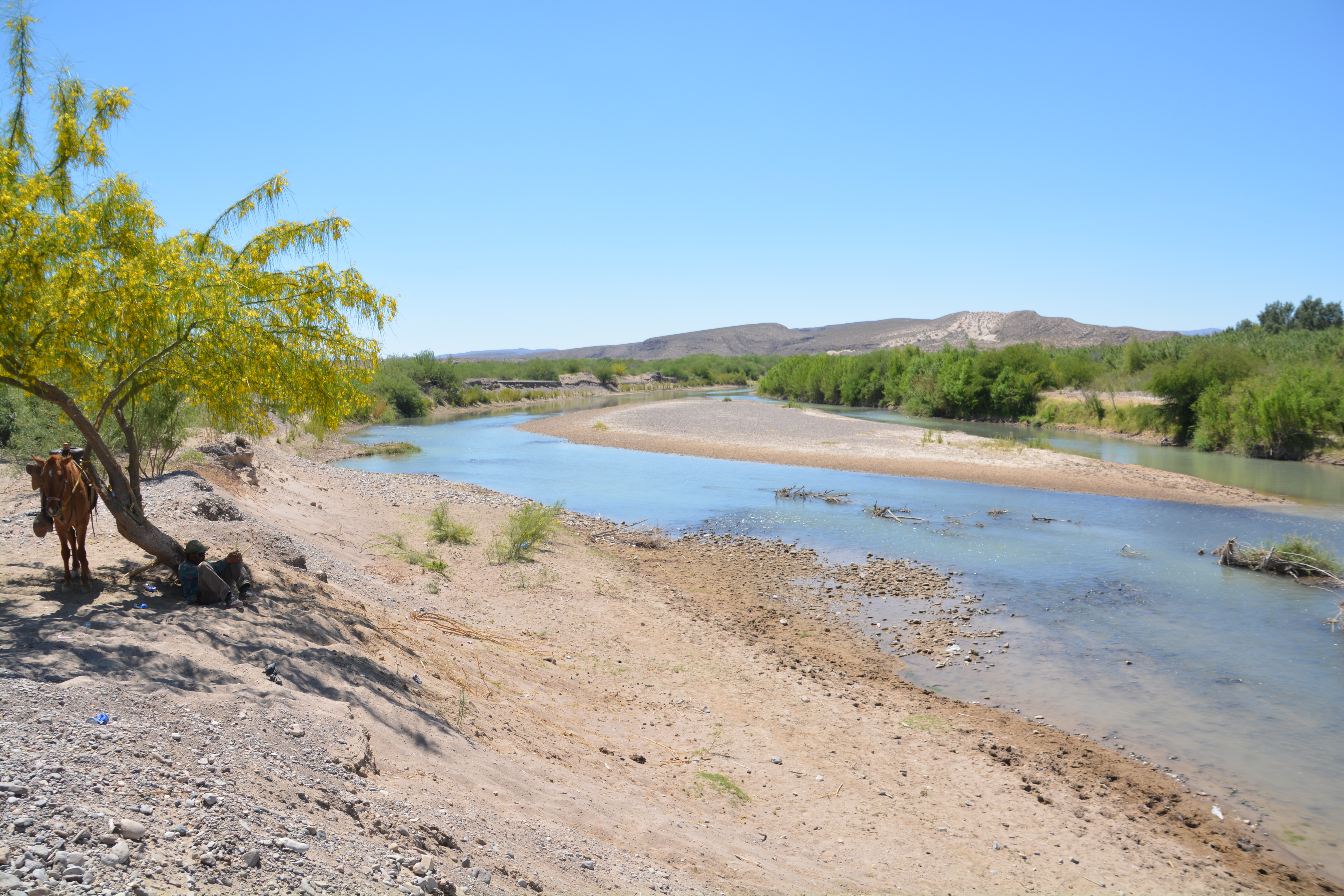
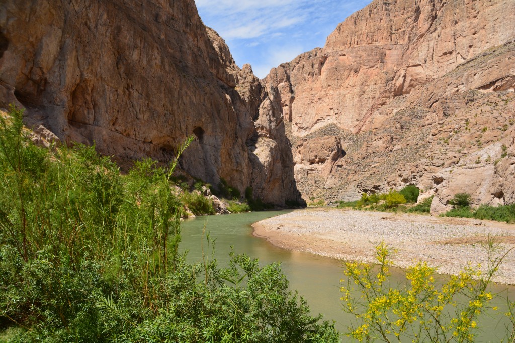
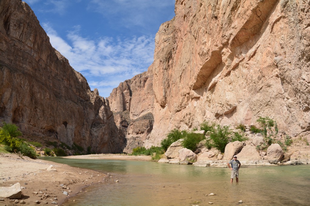
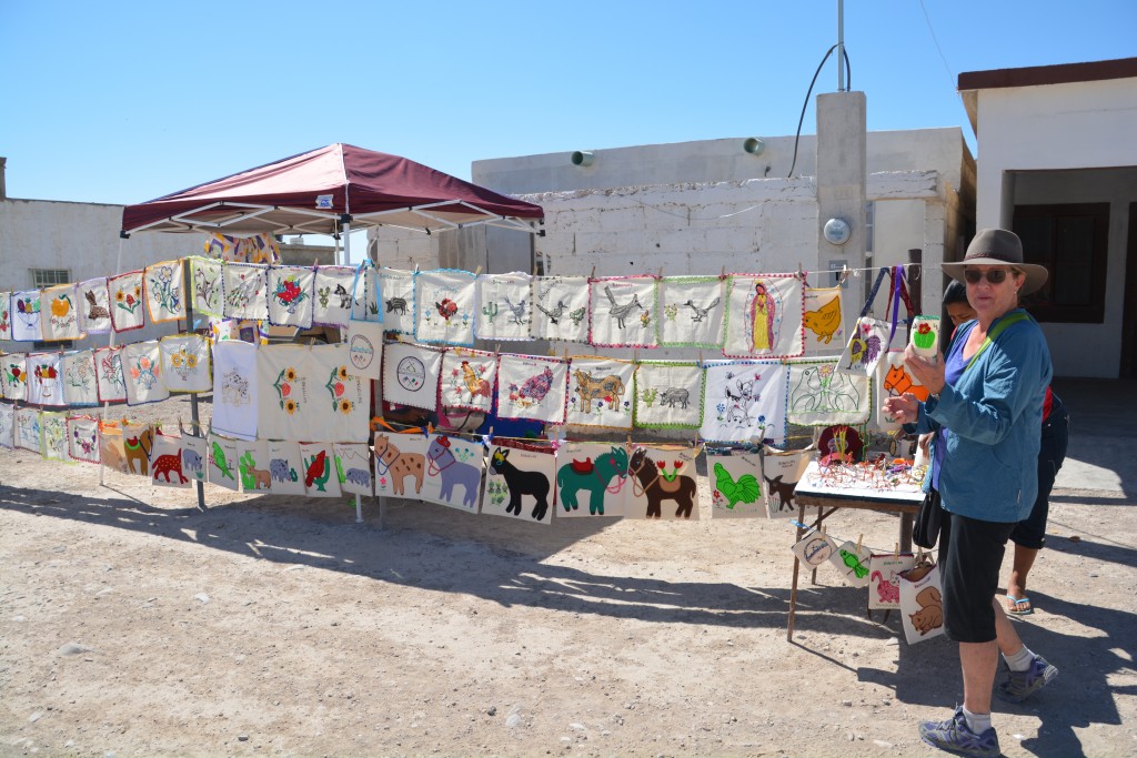
The Boquillas Canyon is a narrow cut in the mountain where the Rio Grande slices its way between steep rocky walls. We found a glorious overlook that highlighted a steep bend in the river but it wasn’t the famous photo I had in my head. We followed the trail up the canyon as far as we could, talking to Mexicans who waded or rode horses across the river to sell souvenirs to unsuspecting gringos. No sign of a wall here and from all appearances there was no need for one – it appeared both sides had a balanced working relationship.
With no luck on the horseshoe bend but a fabulous afternoon exploring the park, we made our way back to Chisos Basin to enjoy truly one of the most stunning views cocktail hour has ever brought us. Big Bend was growing on us. Unique to any other place we had visited, it is a magnificent display of three key parts of our environment – the river, the desert and the mountains. Big Bend rocks.
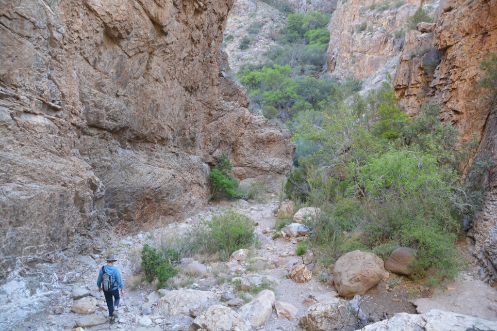
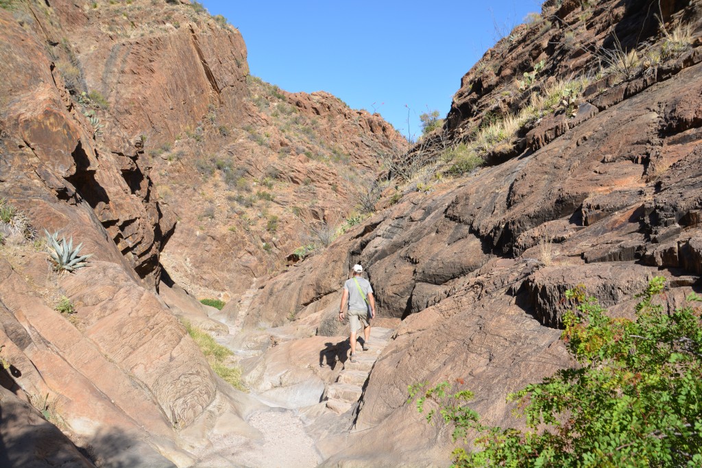
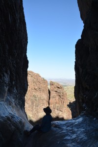
To validate that view the next morning we took the 4.2 mile (6.7 km) walk from the campsite to The Window, a great walk through the flowering cacti and amongst the huge rock pillars and vertical rock formations that mark this basin. As the final canyon closed in on us – did it become a gulch? – we could imagine ancient cascading waters thundering through this narrow crease until we came to The Window – a small outlet where this rushing water would have poured out of the basin in a long deep waterfall into the desert valley far below. That would have been a bargain to see at any price.
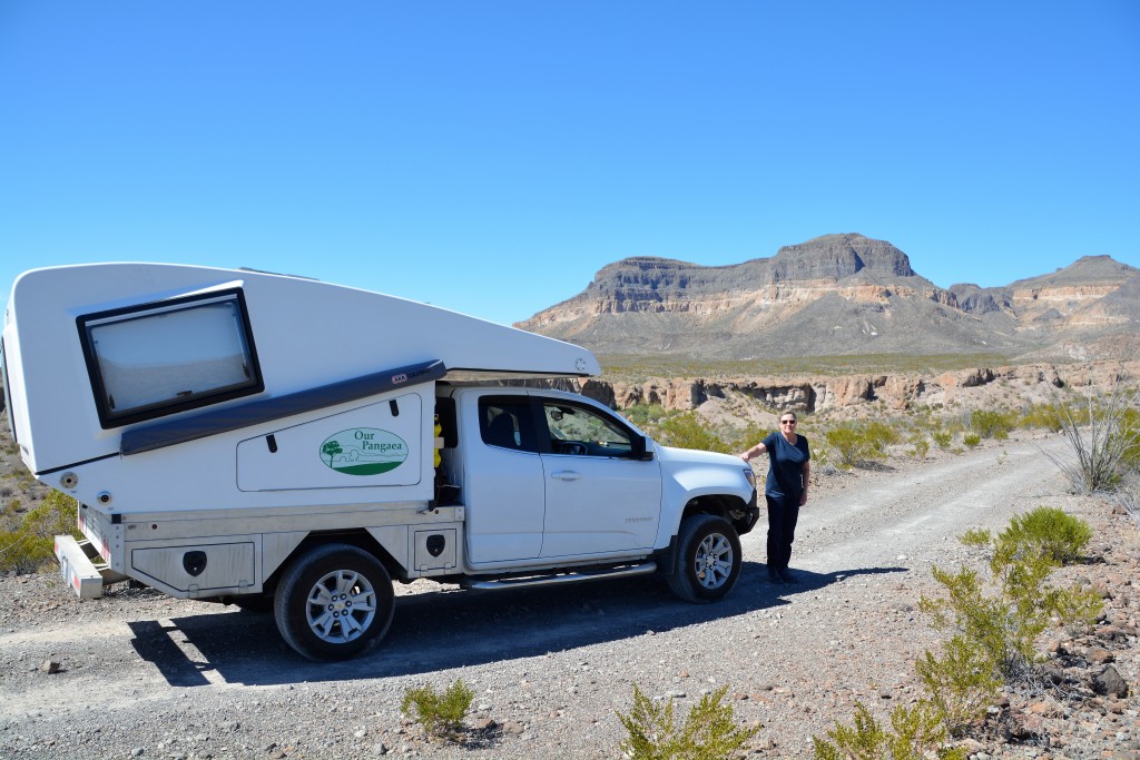
Our afternoon target was Castolon, the third of the major areas of the park, down on the river in the remote western part. From here we had booked a ‘Primitive’ campsite with ‘views of the river’ but to get there we had a dusty 5 mile four wheel drive track away from what limited civilisation existed in this remote corner of the park.
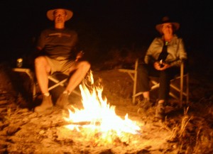
It was 85F (30C) and stinking hot without the hope of a breeze as we pulled up to our camping spot above the river. We knew we had broken away from the rest of the world and would be able to enjoy some delightful isolation. Below us was a wide green strip of land, thick with healthy trees that lined the Rio Grande. We could not see the river itself, so lost it was in the branches of these trees, but we knew it was only a seven iron away.
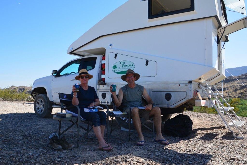
A long lazy afternoon in the shade of Tramp, absorbing the overwhelming totality of this scene – a long endless desert to one side, the green strip of life and hope along the river and then another long mountainous desert that marks another country. Something for the ages.
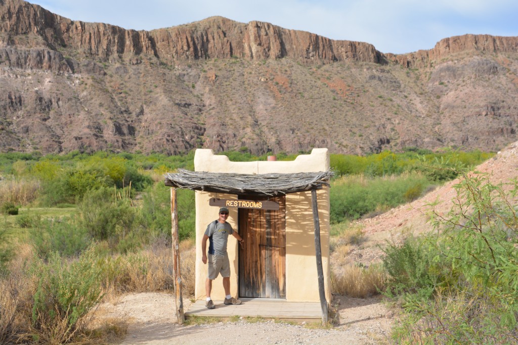
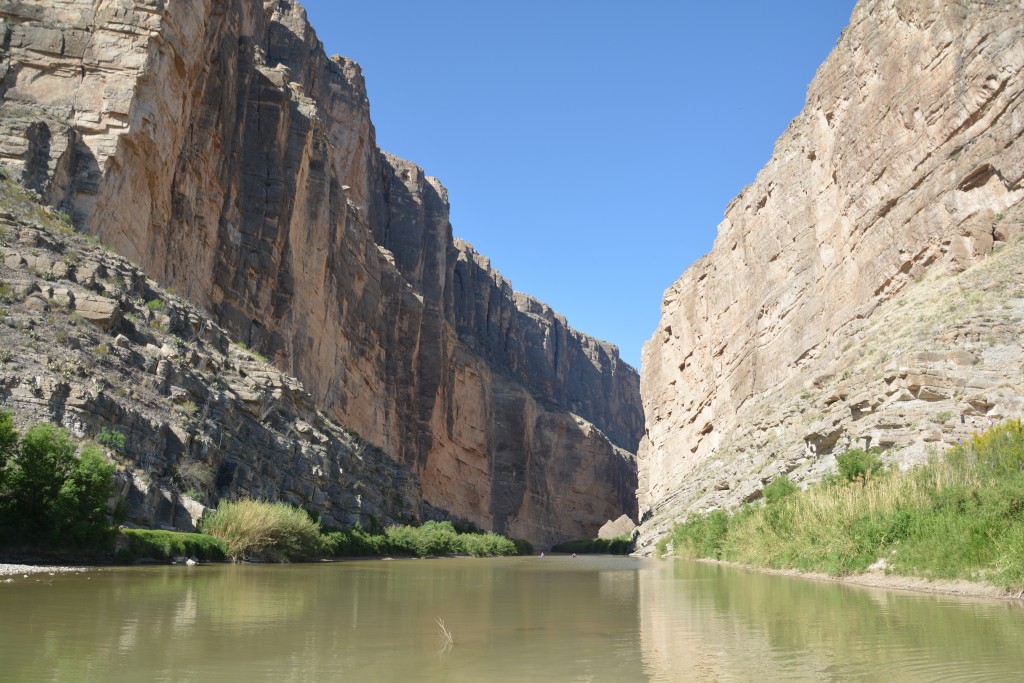
Along this stretch of the river the Mexican side features a vertical cliff that in places exceeds 1,500 feet (480 metres) in height. In this dramatic setting we followed the road past remains of adobe brick homesteads from hearty people who settled along the river’s banks over 100 years ago.
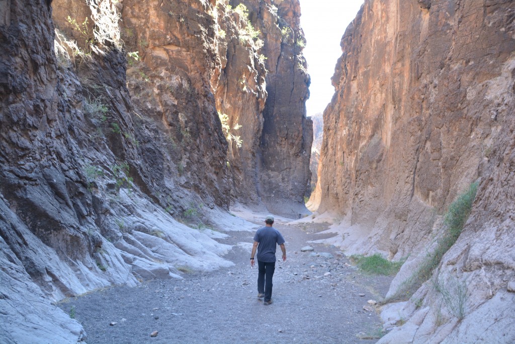
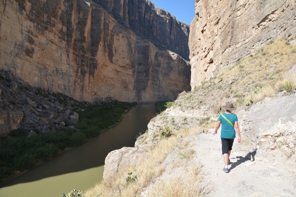
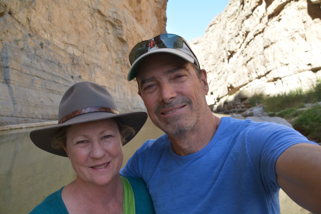
Santa Elena Gorge was formed eons ago when the river found a weak point or gap in this mammoth wall and eventually forced its way through. We walked up this gorge as far as we could, the walls towering over us as the Rio Grande flowed slowly eastward. At this stage the river is not so grand and a few kayakers and canoers reported they were walking and portaging almost as much as rowing. Still, in this setting anything would be acceptable.
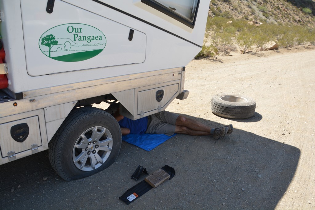
As a fun detour we followed the dirt and rocky Old Maverick Road back up to the paved road and on this long rough track we had our second flat tire of the trip. Amazing, for tires that are relatively new two punctures in the first 23 days of our trip was either incredible bad luck or perhaps a sign that our tires were not up to the task of carrying Tramp. In searing desert heat that was over 90F (33C) we changed the tire and eventually made it to the small dusty town of Study Butte to see if we could get it repaired on a Saturday afternoon.
As it happens, we could. By talking to a couple of people we were led to place who knew a guy who might be able to do it. A couple of phone calls, a drive out to a small shop between two huge desert mounds and there was Tim – who cheerfully and helpfully plugged our tire in minutes. On ya, Tim.
Temperatures in Study Butte were now reaching 101F (39C) and the afternoon was slipping by so we headed back along a dirt track to our campsite from the previous night, which we had fortuitously booked for two nights anyway, and pulled up in a familiar spot with the green trees of the river passing below us and Mexico’s high mountain cliffs above us. But it was hot, very very hot, Tramp was exhausted and we were melted. This is early spring and I’d hate to see this place in the middle of summer.
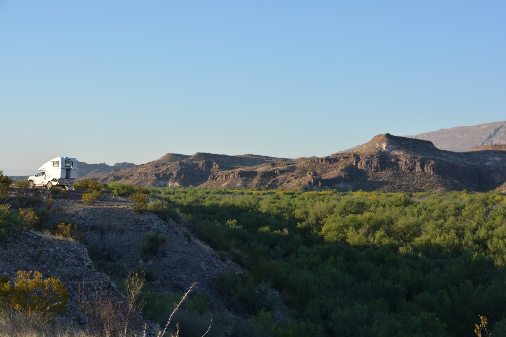
Both Tramp and us are buggered after a day reaching over 100F but we loved the views from our campsite
But the Rio Grande and Big Bend National Park just keeps giving. The next day we drove to Boquillas Crossing, a very small controlled border crossing where we showed our passport, walked down to the river, got into a rowboat and for a gringo price of $5 per person was rowed across the shallow and narrow Rio Grande into Mexico. Other people took off their shoes and walked, such was the size of the river at this point.
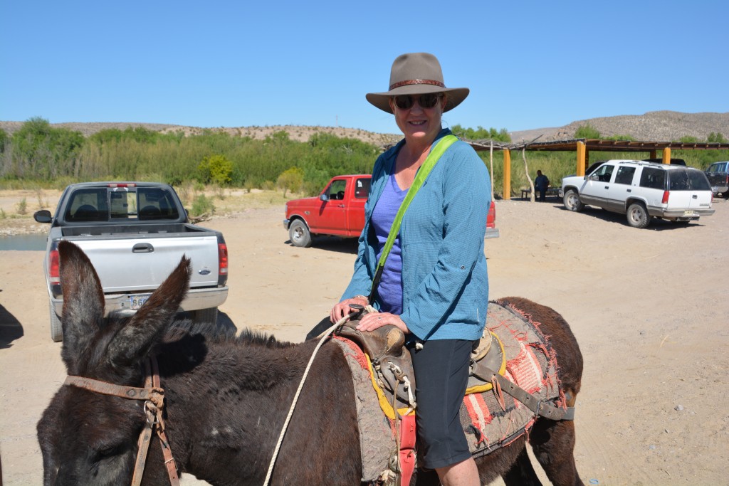
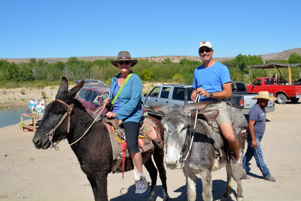
Julie has this weird thing for donkeys and couldn’t believe her luck that she could ride one from the river to the village
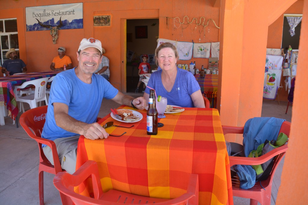
From there we climbed onto a donkey (Julie) and a burro (me) – and were taken up the dusty track to the border town of Boquillas de Carmen. We had our passports stamped and then walked up and down the only road in this small village, a dirt track lined with very modest houses all selling very cheap little trinkets and souvenirs. After we each bought something to remind us of this momentous event we retired to the local cantina for some enchiladas, tacos, cervezas, and in the case of Julie, a margarita. We then reversed the order and via donkey, row boat and US Immigration returned to Tramp who had patiently been waiting in the 100F (39C) sun.
We drove out of the park on our fifth day shared between the Big Bend state park and the national park. We were totally besotted by Big Bend – a mixture of desert, river and mountains that we just loved. But the sad truth…after a thorough search of Big Bend and the surrounding areas we could not find the dramatic river scene forming a huge horseshoe canyon through the desert rock. Does it exist in reality, we now have doubts but at least I still have it in my memory.
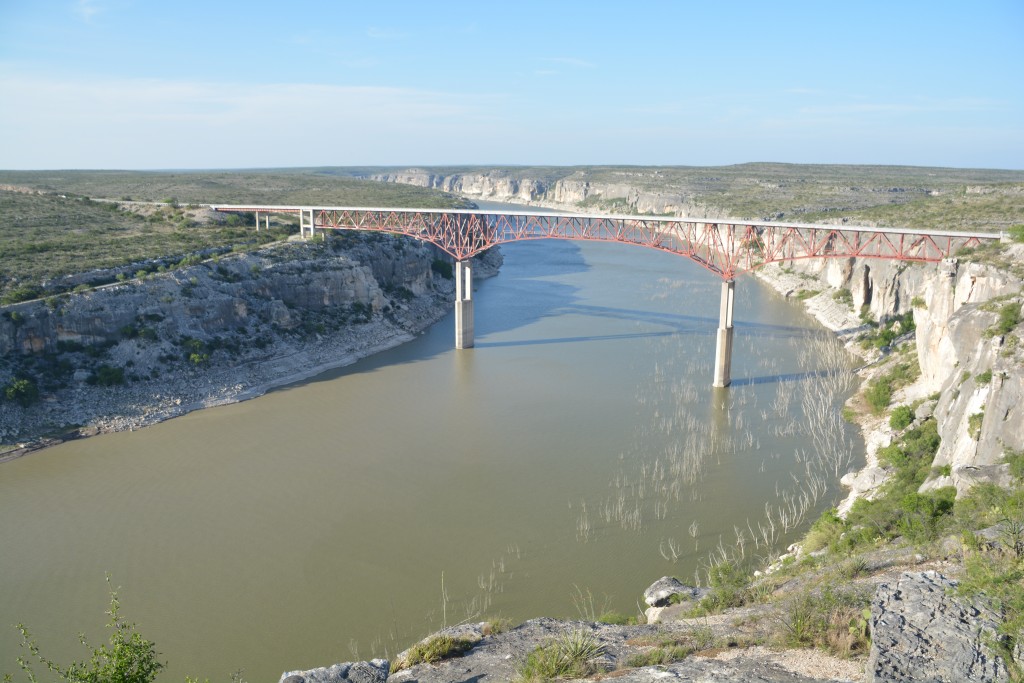
And just to prove that its not all about the Rio Grande – here’s the magnificent suspension bridge we used to cross the almost-as-famous Pecos River
Hello! I purchased an XPCamper V2 on a Colorado right after you guys. Eagerly reading your experiences. Hey, just a heads-up, my research shows that the stock tires on the Colorado are not up-to-task for the weight of the camper. If you haven’t upgraded to a D or E class load rating you’re probably a few plys short.
I think my email address is attached to this post, feel free to drop me a line, I’d love to chat.
Cheers.
Hi,
Thanks for making contact with us. Marc told us he was putting a V2 on another Colorado and I think we saw it in his workshop before we left. And I agree about the tires, we’ve already had two flats and I am planning to upgrade my tires. I’ll drop you a note on your private email so we can compare notes.
Thanks,
Bill