The K2K
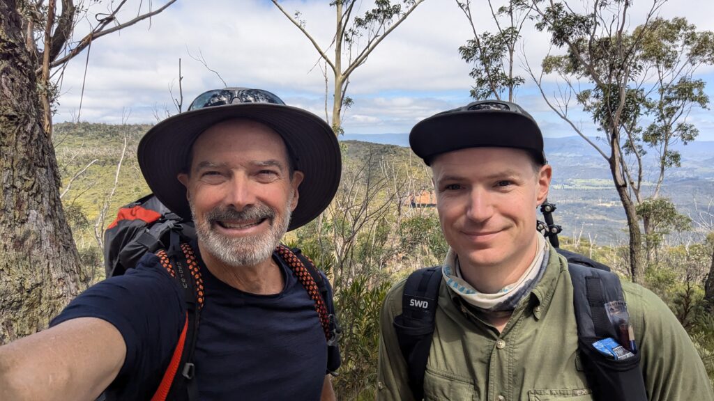
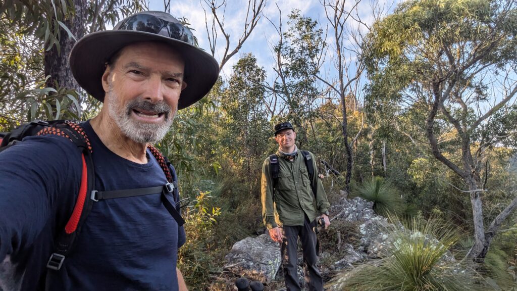
The Blue Mountains are part of the Great Dividing Range that separates Sydney from inland Australia. This vast wilderness area is protected by a series of inter-connecting national parks and World Heritage areas which preserve this natural wonder for all time and provide an adventurous playground for those hearty enough to venture into them. One such exploration track is called the K2K, a three day, two night trek through some of the most remote and rugged areas of these mountains. And my son Zach and I were about to tackle it.
The K2K, or Kanangra to Katoomba, walk is a 45 kilometre (28 miles) walking track which crosses this wilderness area and is often referred to as the hardest walk in New South Wales. It is rated as Grade 5, the highest rating, and requires significant bushwalking experience, navigation skills and some serious fortitude to negotiate the 2,400 metres of elevation gain, scarce water sources, leeches, heat, rain and thick overgrown trails.
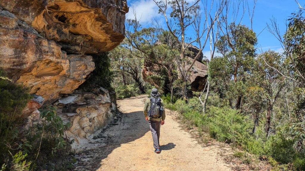
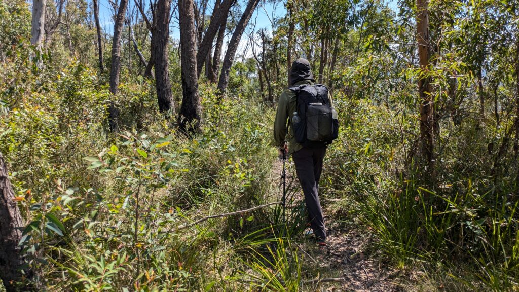
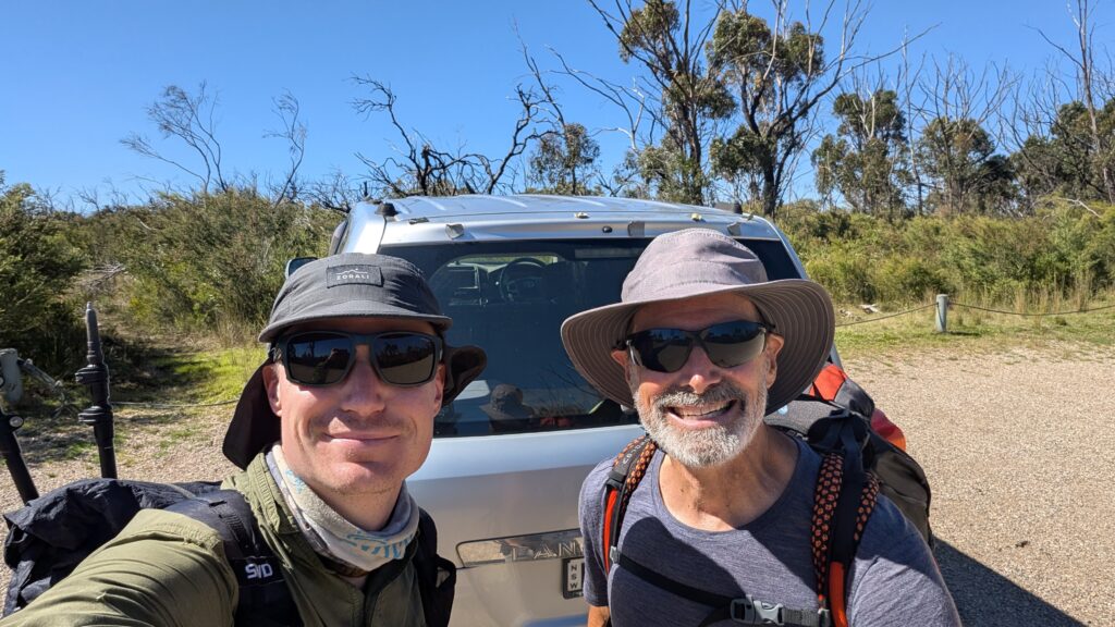
Zach and I chose to start the trail in Katoomba, the main town in the Blue Mountains, and parked one of our cars at the other end before starting the walk at the end of Narrow Neck, a long peninsula that sticks out like a writhing snake into the valley below. Our goal for the first night was Mobb’s Soak, one of the few semi-reliable water sources on the trail.
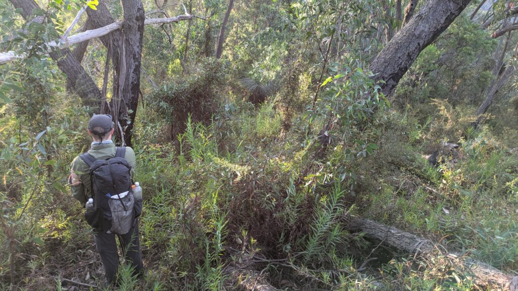
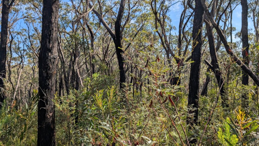
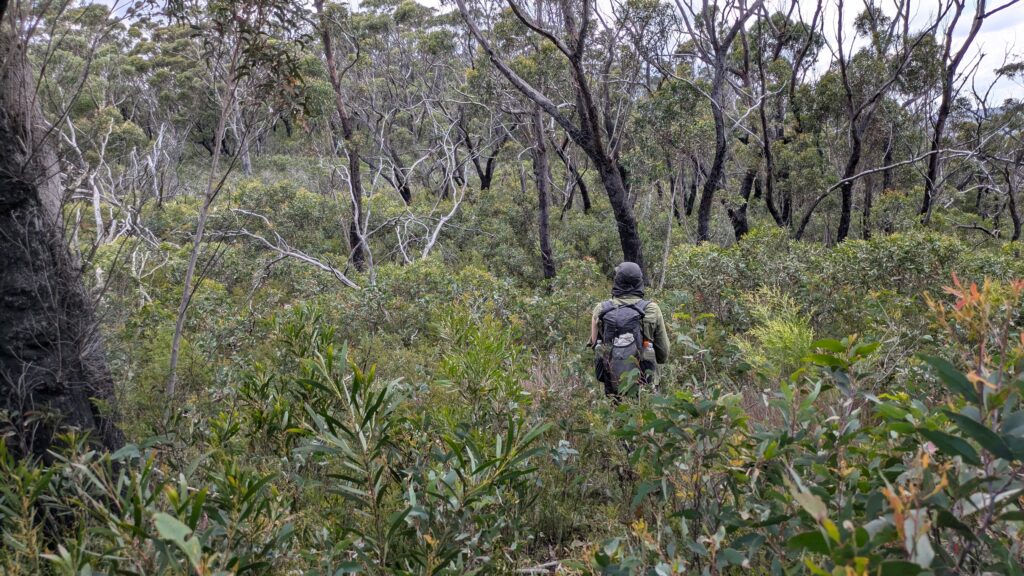
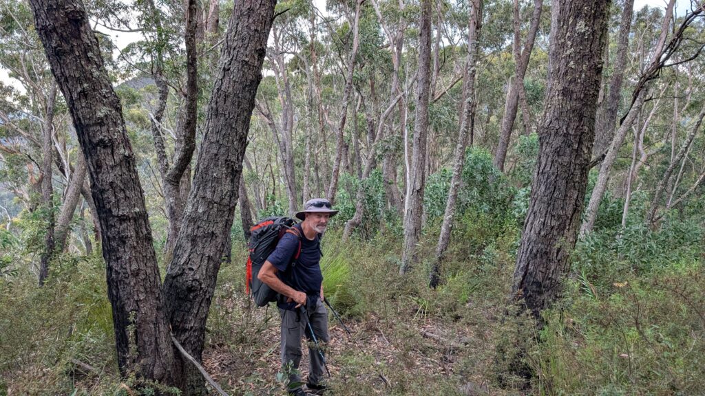
But the new reputation of this trail quickly became evident. After the fires of 2019/2020 the National Park Service has not maintained these tracks and the regrowth from the fires has turned the track into a real jungle battle with long stretches of the track being completely overgrown or disappeared. The going was very slow, the track frequently lost and the rugged terrain meant we were often forging our own paths through thick regrowth as we trudged up and down the mountains.
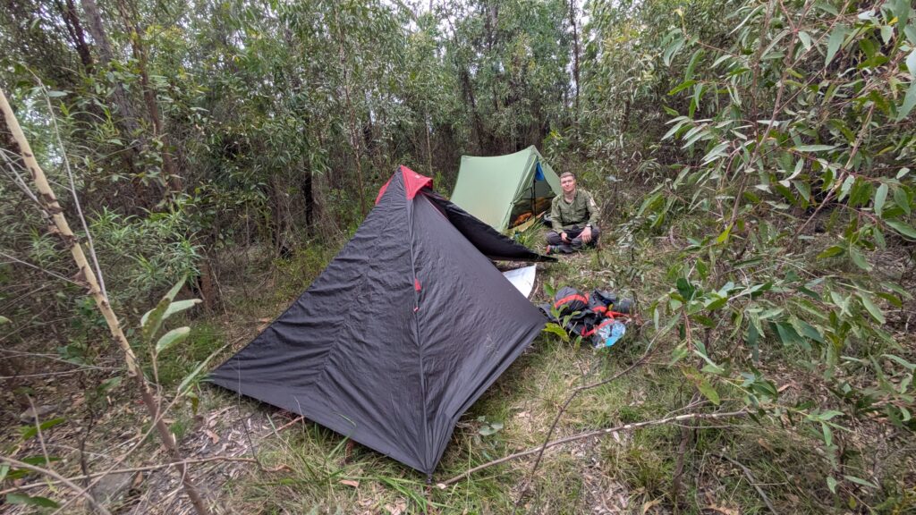
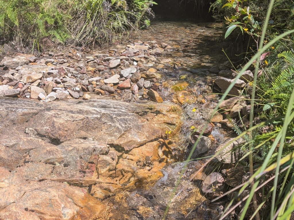
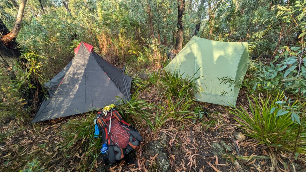
At Mobb’s Soak we filled our water bottles from semi-stagnant water, battled off the leeches and set up camp for the night, absolutely exhausted but buzzing with a sense of adventure. It had been a tough first day and we were concerned the trail would get even worse as we moved further away from civilisation.
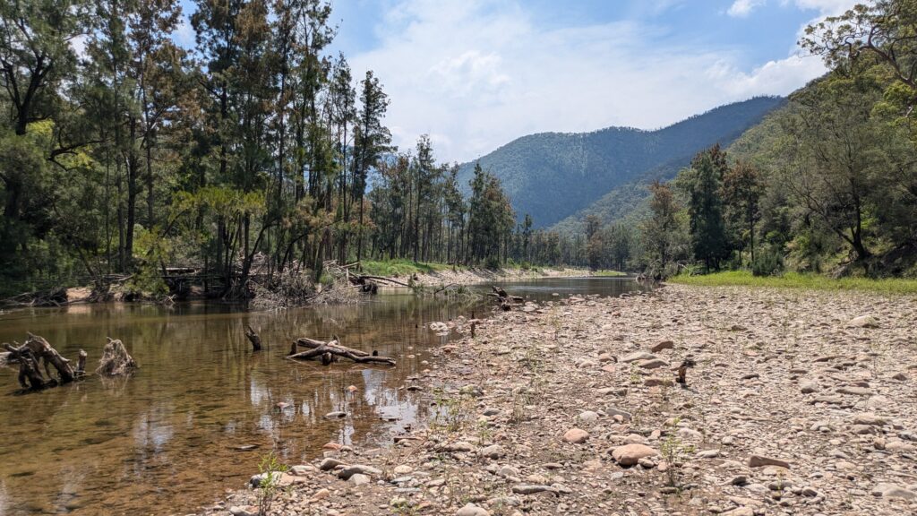
And we were right about that. Here’s a fun fact to give some context. The trail starts and ends at almost the same elevation – about 1050 metres (3,450 feet) – but drops as low as 175 metres (575 feet) when it crosses the Cox’s River which we intended to cross in the middle of Day Two.
After following the roller coaster ridge up to Mount Yellow Dog we started the long descent to the river. We battled through the overgrowth, occasionally losing the trail, negotiating rises and falls as we followed the ridgeline. The enticing river loomed far below us, cutting through the rugged mountains, edging us ever onwards. The views were minimal, the trail was theoretical and the effort on this unusually warm 33°C (91°F) day was maximum.
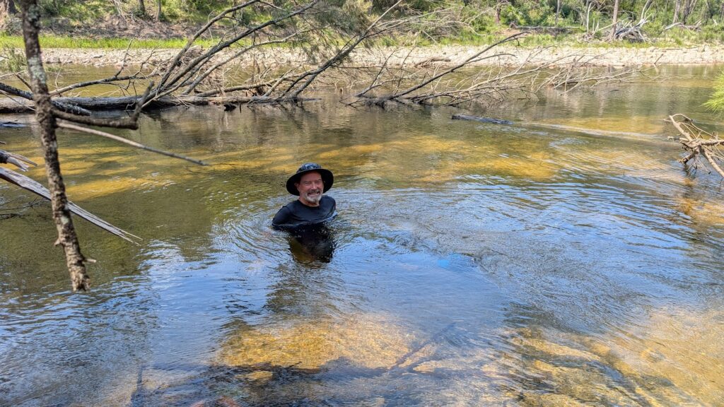
At Cox’s River we drank like camels and soaked in the river like hippos. With lower body temperatures, full water bottles and renewed energy we began to tackle the huge climb out of the river’s gorge to the top of Mt. Strongleg which topped out at 784 metres (about 2,600 feet).

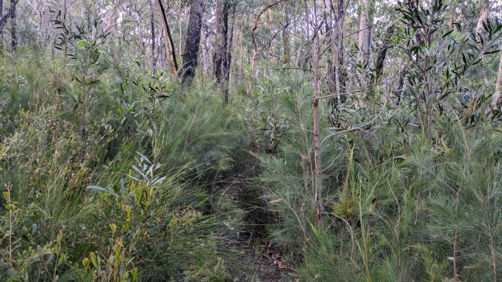
Except…we didn’t get that far. The trail away from the river was practically non-existent and we were constantly searching for any sort of animal pad or other path that helped us fight our way up this steep mountain slope. The going was very slow and the intense heat drained us quickly. The wattle and gum saplings were thick and stubborn and our progress was only about one kilometre per hour, a snail’s pace in most circumstances.
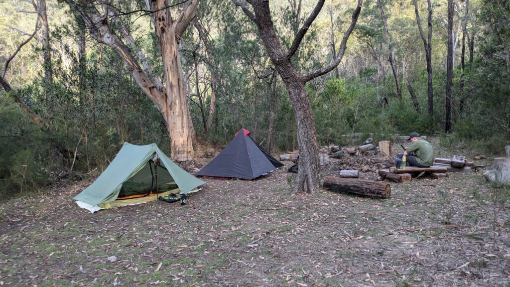
By 5.30 we were buggered and when we came across a rare clearing just about big enough for two tents, we decided to call it a day. We were scratched, sore, dry and drained but happy we had put that 600 metre climb behind us.
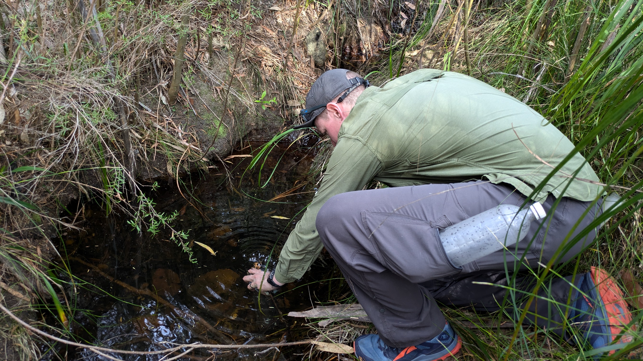
We knew we were still about 17 kilometres (about 10.5 miles) from the end of the trail and the only way for us to cover that ground in one day was for the trail to suddenly (magically?) become clearer and faster. Our first objective was Dex’s Creek, about five kilometres away, where we were hoping we could refill our bottles and have a good rest before tackling Mt. Cloudmaker.
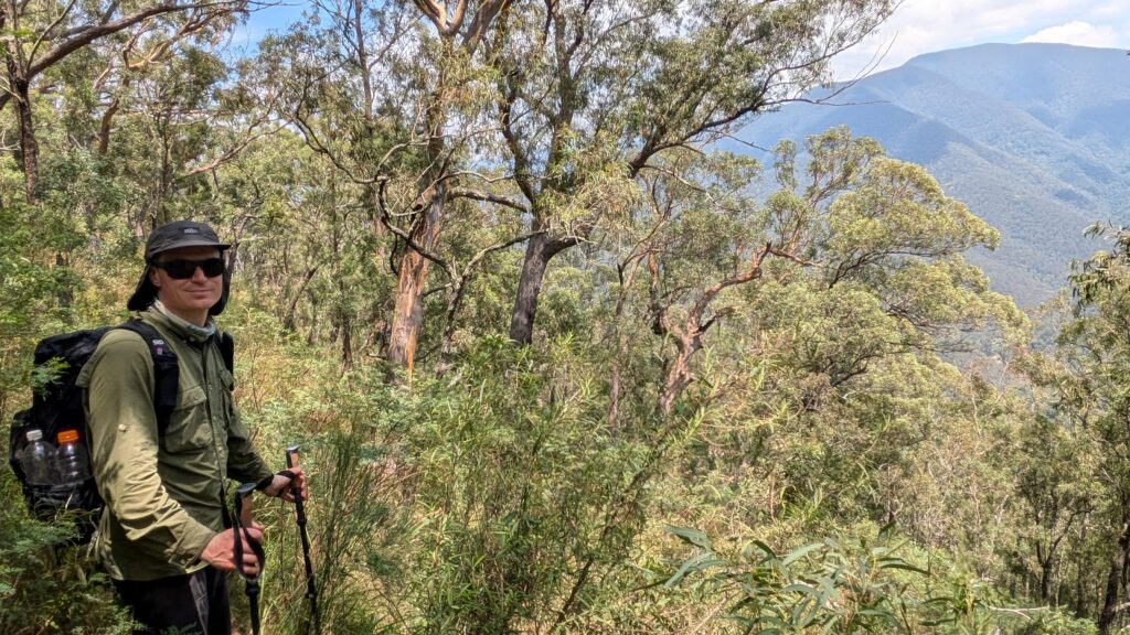
We were on the trail by 6.45am and as always Zach took the lead, scouting ahead for any semblance of a path forward, backtracking when necessary, pushing his way through the dense regrowth. Sometimes we could be only 20 metres apart and completely lose sight of each other, having to call out to get a bearing on where each of us were.
Eventually we made our way to Dex’s Creek where we had intended to camp the night before and found beautiful fresh clear water bubbling from the spring. The sight – and taste – of water raised our spirits and the beautiful setting rewarded us for our hard work.
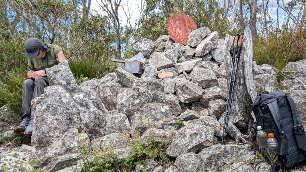
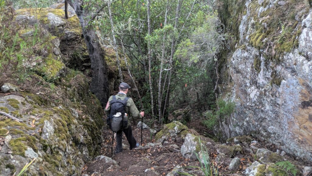
Our next task was Mt. Cloudmaker, at 1,164 metres (3,800 feet) the highest point on the trail and a major landmark in this vast wilderness area. We had hoped the trail would improve but unfortunately most of the time it was just a line on our GPS map and we had to constantly improvise to find our way. We stayed on the ridge as best we could, passing a couple other high points until we finally made the top of Mt. Cloudmaker.
We paused for a while to catch our breath and write in the log book before taking a good look at the distant ridge below us and our long path back to civilisation.
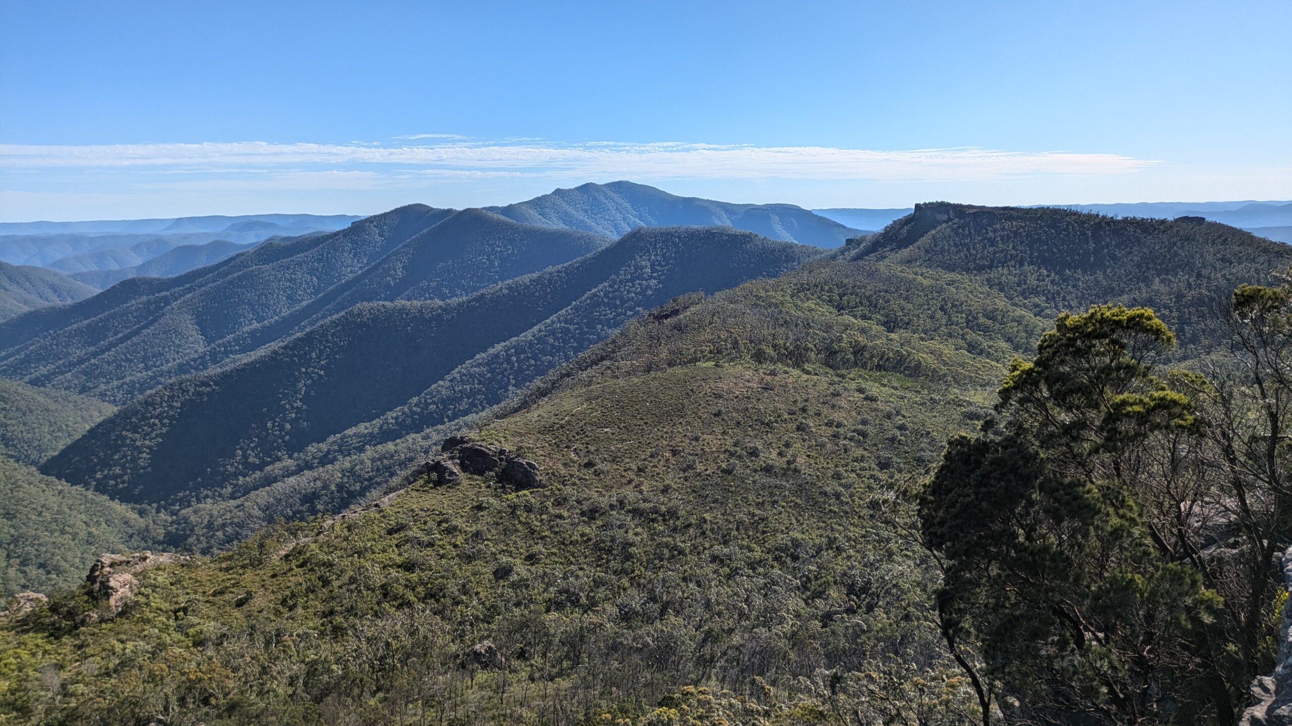
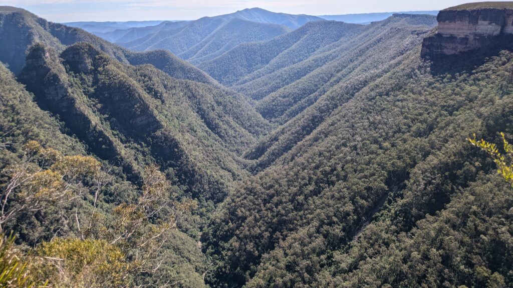
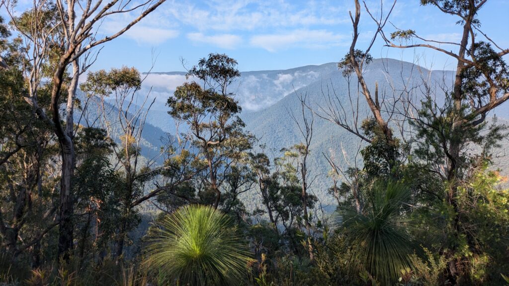
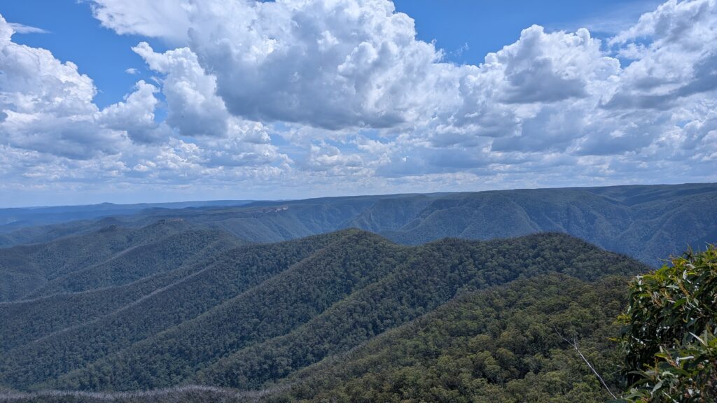
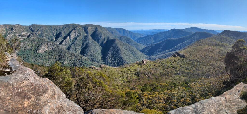
The view from the nearby lookout was spectacular as rugged impenetrable wilderness area spanned out as far as we could see in all directions. But it was also daunting as we could easily follow with our eyes the ridgeline we still had to follow and in the distance could make out for the first time what we thought were the Kanangra Walls. By now it was after 2pm and we knew that unless we were prepared to walk many hours in the dark we were not going to finish this walk in the allotted three days.
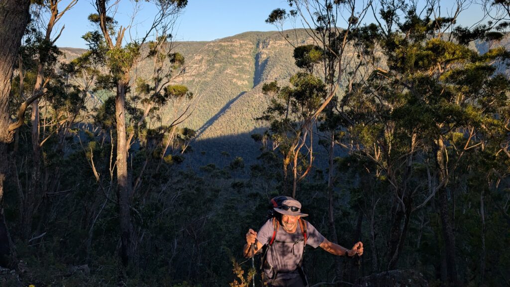
The trail did improve substantially from Mt. Cloudmaker as more people had walked this path. We made better time following the ridge southward as it fell and rose and fell again across knolls with names like Rumble, Roar, Rack and Rip. We passed Mt. Stormbreaker at 1,042 metres (3,420 feet) as the afternoon waned and storm clouds began to move in. And still with the better trail we would lose it occasionally, Zach doing the hard yakka through the scrub, me setting a slower but steady pace.
After passing Mt. High and Mighty, yes, really, our next major goal was a 250 metre climb up to the top of Mt. Berry, our last major climb of the trail. The day was coming to it’s end, and so was our energy levels, but we wanted to put Mt. Berry behind us.
By the time we passed this high point it was after 7pm, we had been walking for more than 12 hours and it had started to rain. We conjured up an awkward slopey space to set up our tents and got pummeled as a monsoon-like rain raced across the ridge, complete with deafening thunder and scary lightning. As this was our unexpected third night we were scraping the bottom of our food bag and our gear was soaked but we made the best of the rough night.
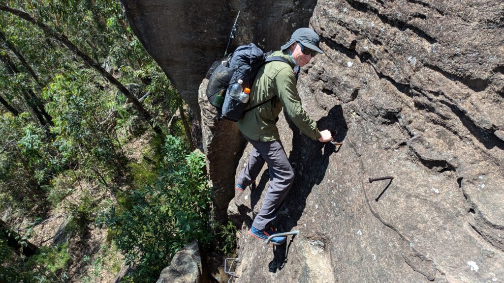
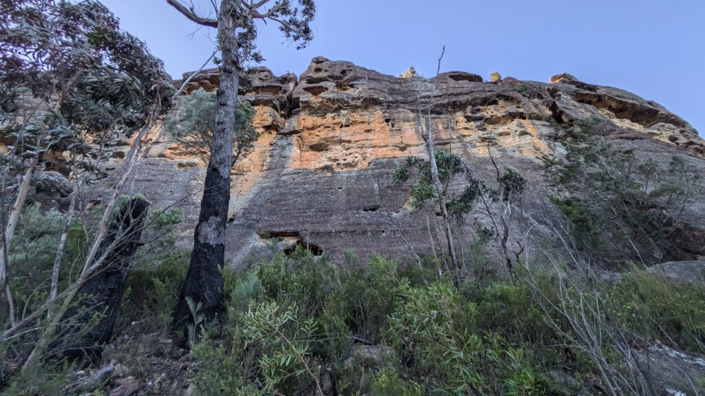
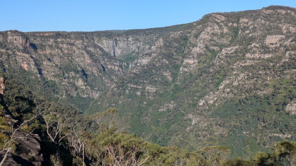
On the fourth day of our three day walk we continued to follow the ridgeline, catching glimpses of the dark green blanket-like forest that lay over the steep mountains around us. We passed under and around a number of massive rocky cliffs and gained great views of Kanangra Falls in the distance. Eventually we clambered up a slice in the walls, passing our packs up on some of the trickier scrambles and made our way to the top of the Kanangra Plateau.
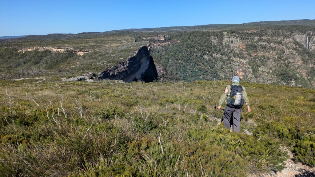
The final three kilometres of the trail were some of the best on the whole journey. We had magnificent views of the falls and the stunning Kanangra Walls, only hampered by an incredible knock-you-over wind that threatened to blow us back into the valley. We munched the last of our bars as we got closer to the trailhead, enjoying that adrenaline rush of completing an epic walk through some of the most challenging terrain ever. And the best part of it for me was being able to do it with Zach who was our faithful leader, bush-basher and motivator.
Would I recommend this walk to others? Well, probably not but the hard parts of the trip are already fading from my memory and the best parts are becoming stronger and clearer in my mind. Soon I might be saying it was like a walk in the park and anyone could do it. If I ever say that, don’t believe me.
One last thing…Zach has recorded our journey in two parts on Instagram. You can see Part 1 here – https://www.instagram.com/reel/DFghLVih43h/?igsh=MTg3ZzNoeG1tam1lbg==
And Part 2 here – https://www.instagram.com/reel/DFjRsBDBNGF/?igsh=eGZieWI1c3cyeDJx
Enjoy!
Comments
The K2K — No Comments
HTML tags allowed in your comment: <a href="" title=""> <abbr title=""> <acronym title=""> <b> <blockquote cite=""> <cite> <code> <del datetime=""> <em> <i> <q cite=""> <s> <strike> <strong>