Utah normal
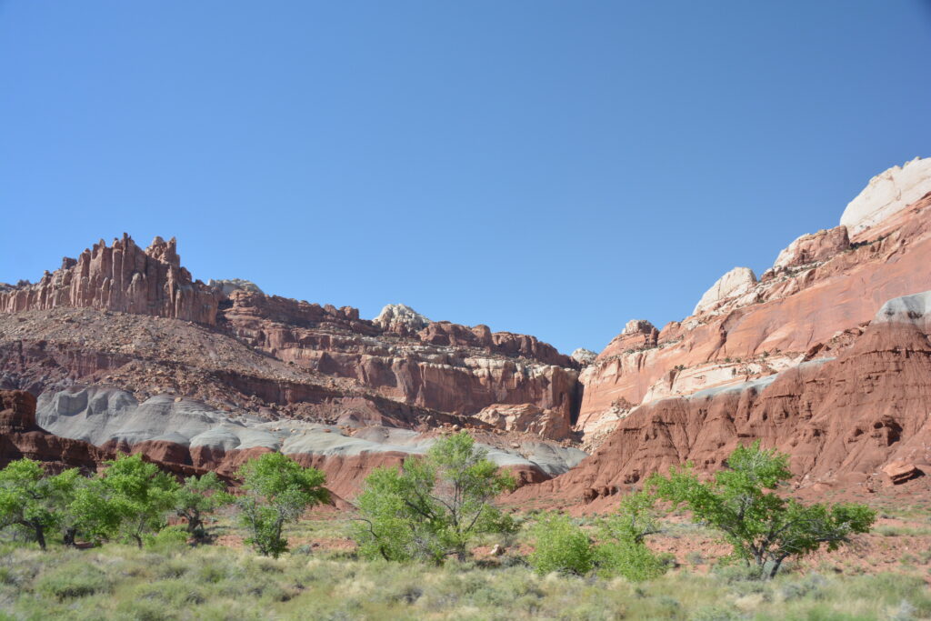
We pulled Tramp over to get out and admire the spectacular multi-coloured sandstone creations towering around us, the wonders of uplifting ocean floors and millions of years of wind and water erosion, and commented that ever since we had entered Utah this wonderful scenery was the new normal. We called it Utah normal.
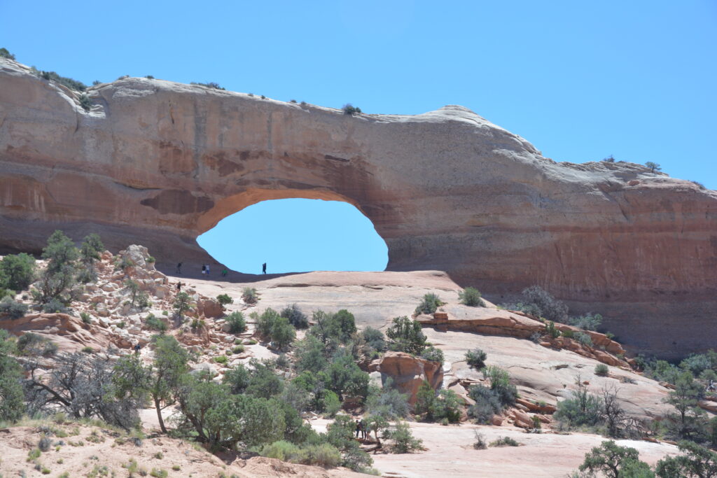
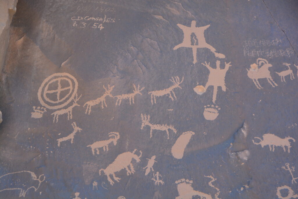
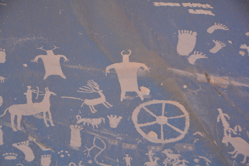
We had a plan to get back to our home base in California in less than a week but it was exceptionally hard to pull ourselves away from the magnificent scenes that continued to surround us. From Moab we headed south and followed our noses through beautiful Bears Ears National Monument (national monuments on this trip have never disappointed us, especially ones with strange names) where we were surrounded by more steep red escarpment walls and saw magnificent petroglyphs, some of which dated back thousands of years (and some much more recent, as evidenced by pictures of wagon wheels!).
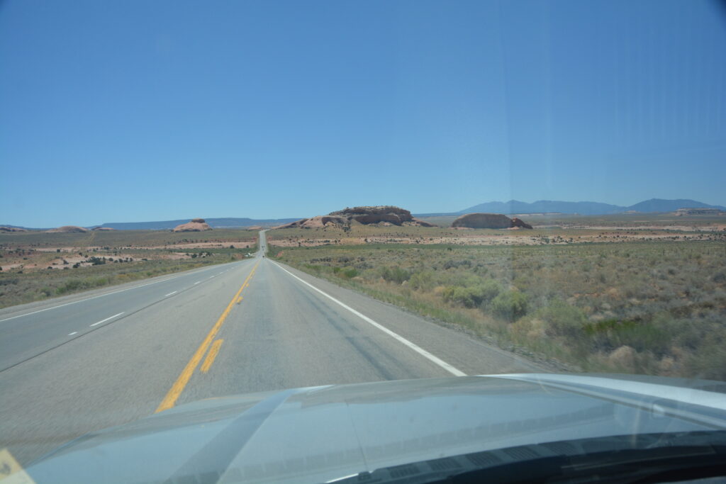
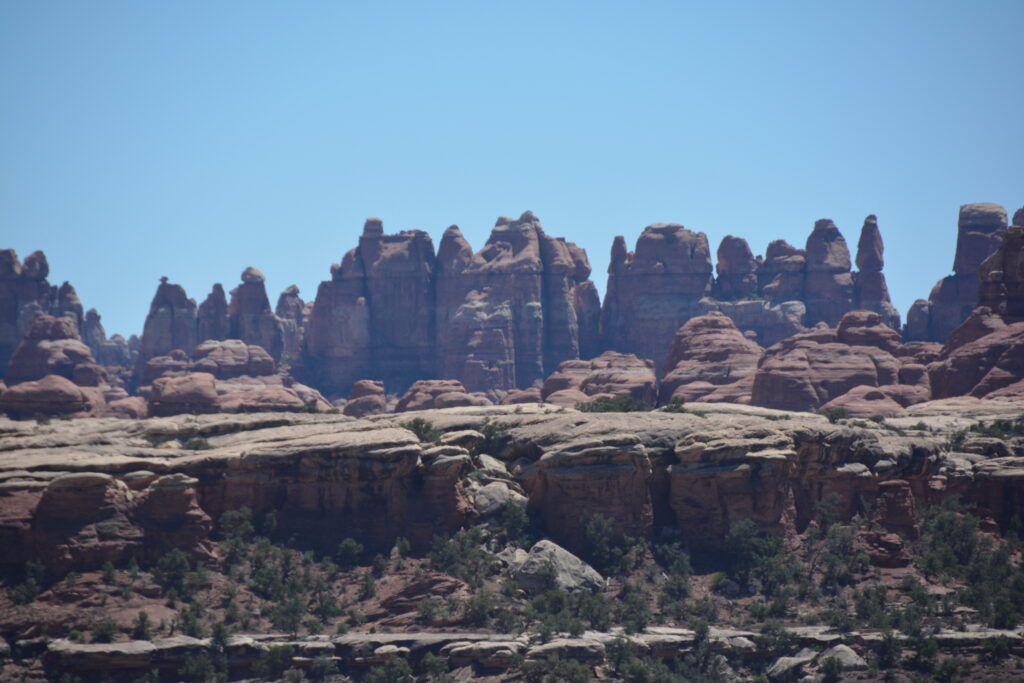
Canyonlands National Park doesn’t have the high profile of other parks in Utah such as Arches, Zion or Bryce but it still features crazy good rock formations and colourful sandstone formations, and the whole area has been carved out at least in part by our friend, the mighty Colorado River.
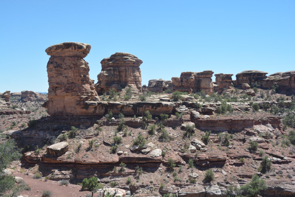
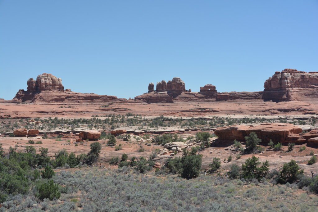
We entered the less frequently visited Needles section in the south of the park and explored this area almost by ourselves. We then chose to follow a track called Beef Basin Road which weaved it’s way through valleys carved by streams, climbed up on ridges high above the canyons below and through deep pine forests.
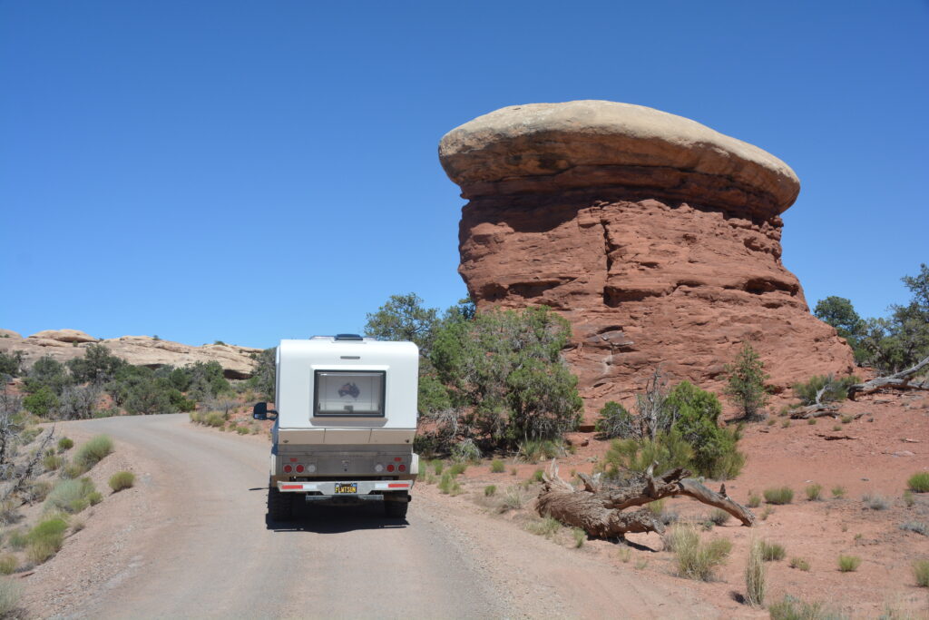
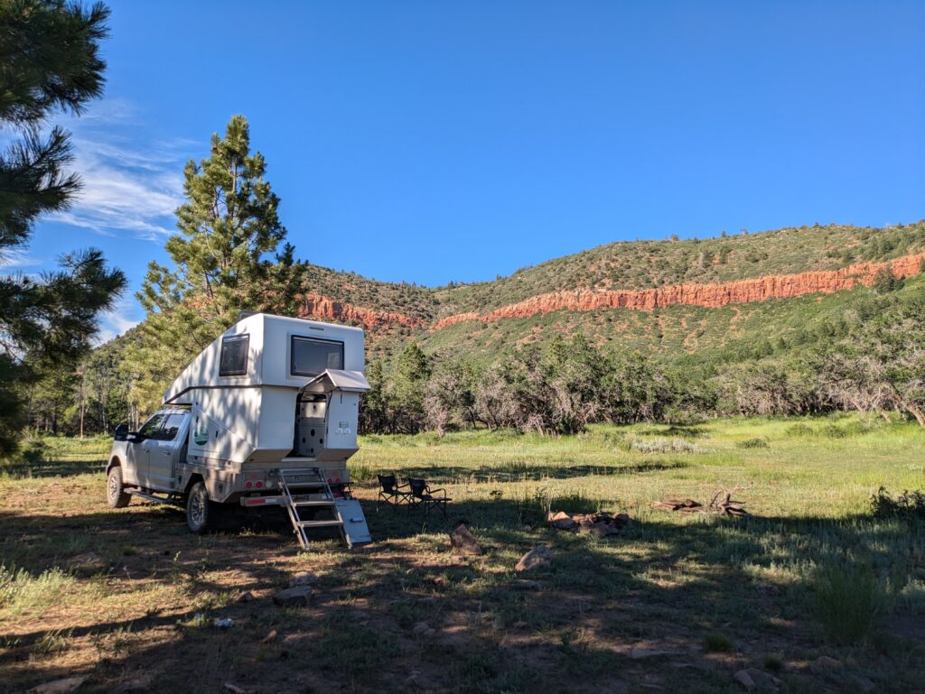
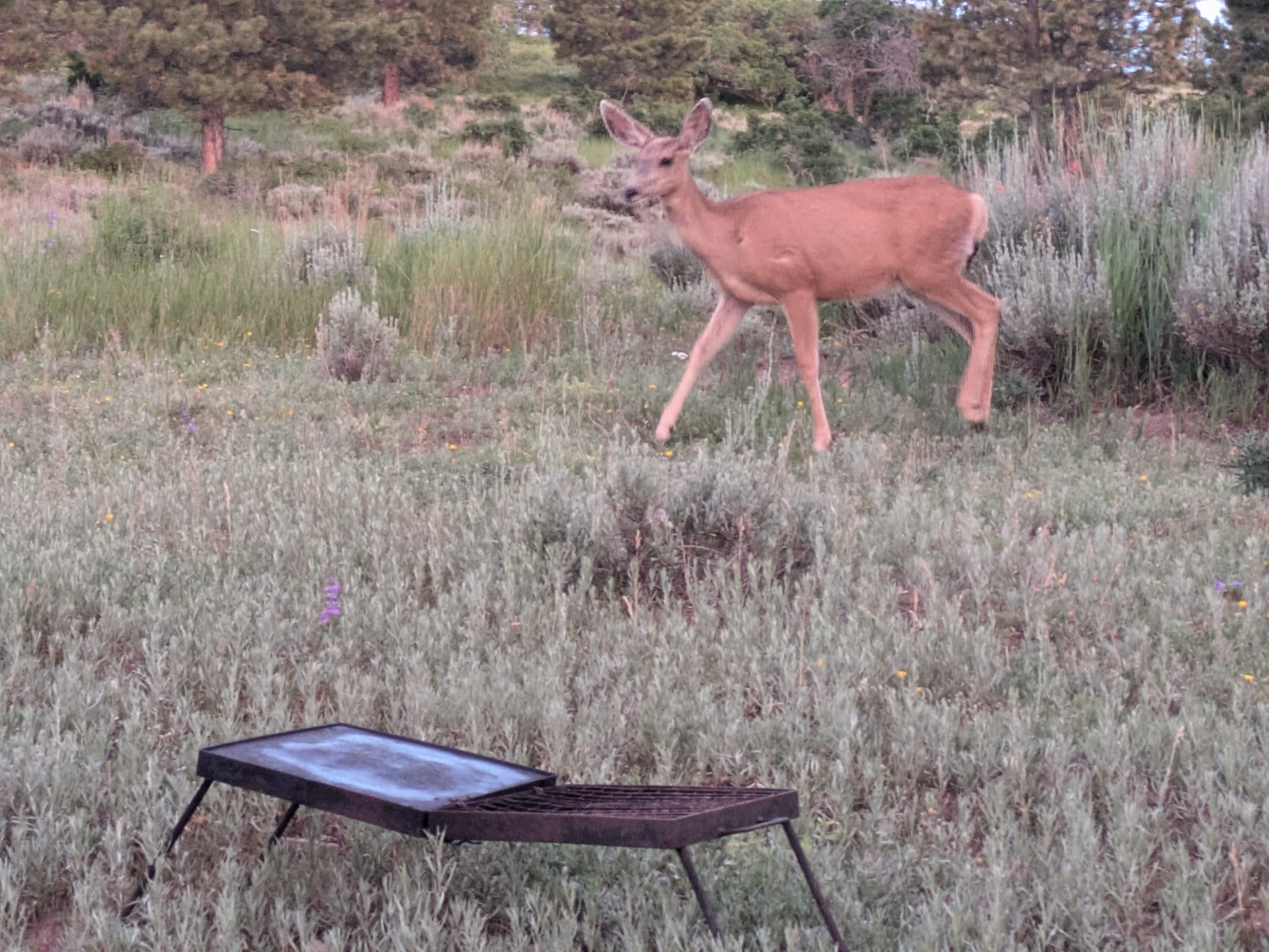
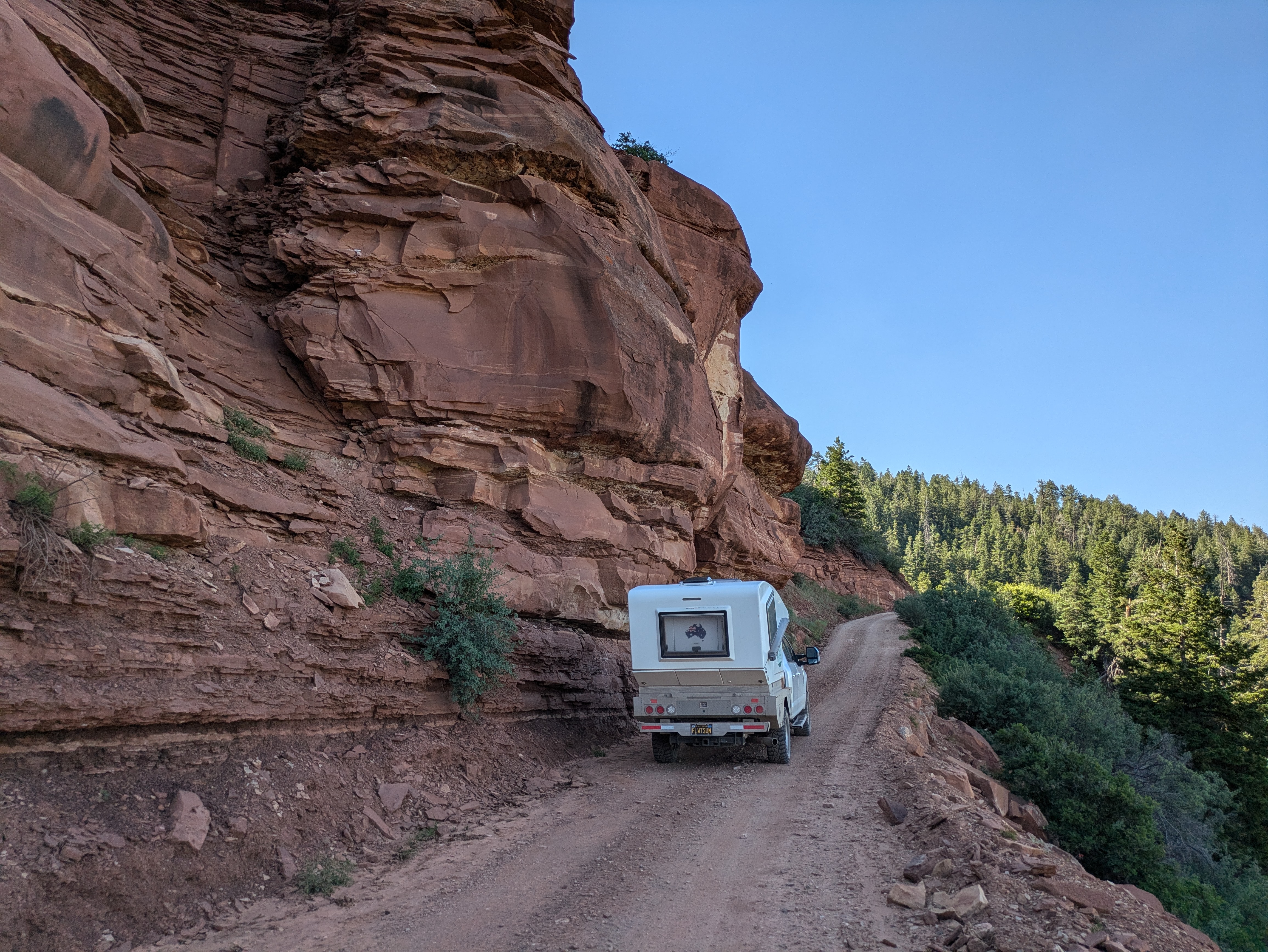
It was a rough dirt track but of course Tramp reveled in it and we found ourselves camped amongst the ponderosa pines with a red rock escarpment wall above us, not another soul within many many miles. Just as we like it. But we were joined in the late afternoon by two very brave and inquisitive young mule deer who moved in within a few metres to check us out and sniff the campfire. Great stuff.
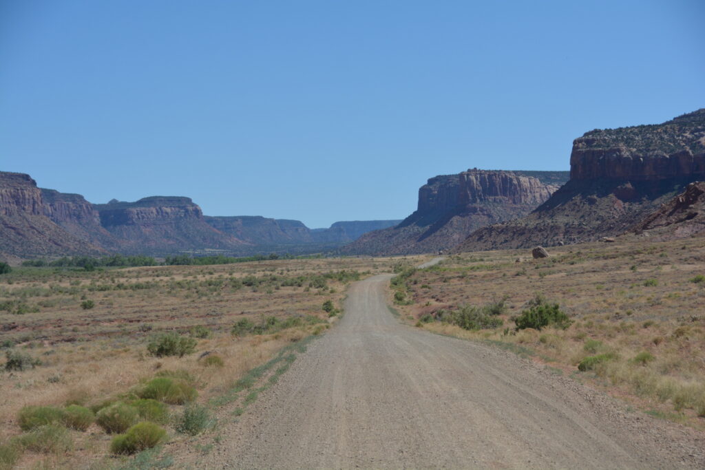
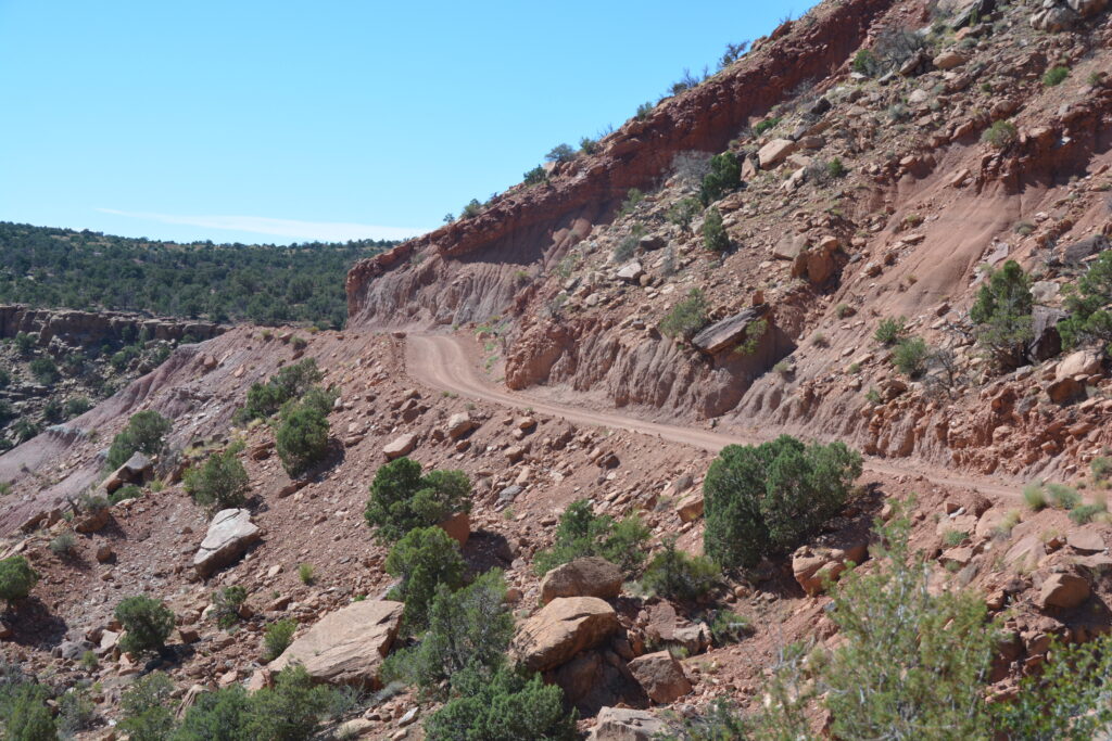
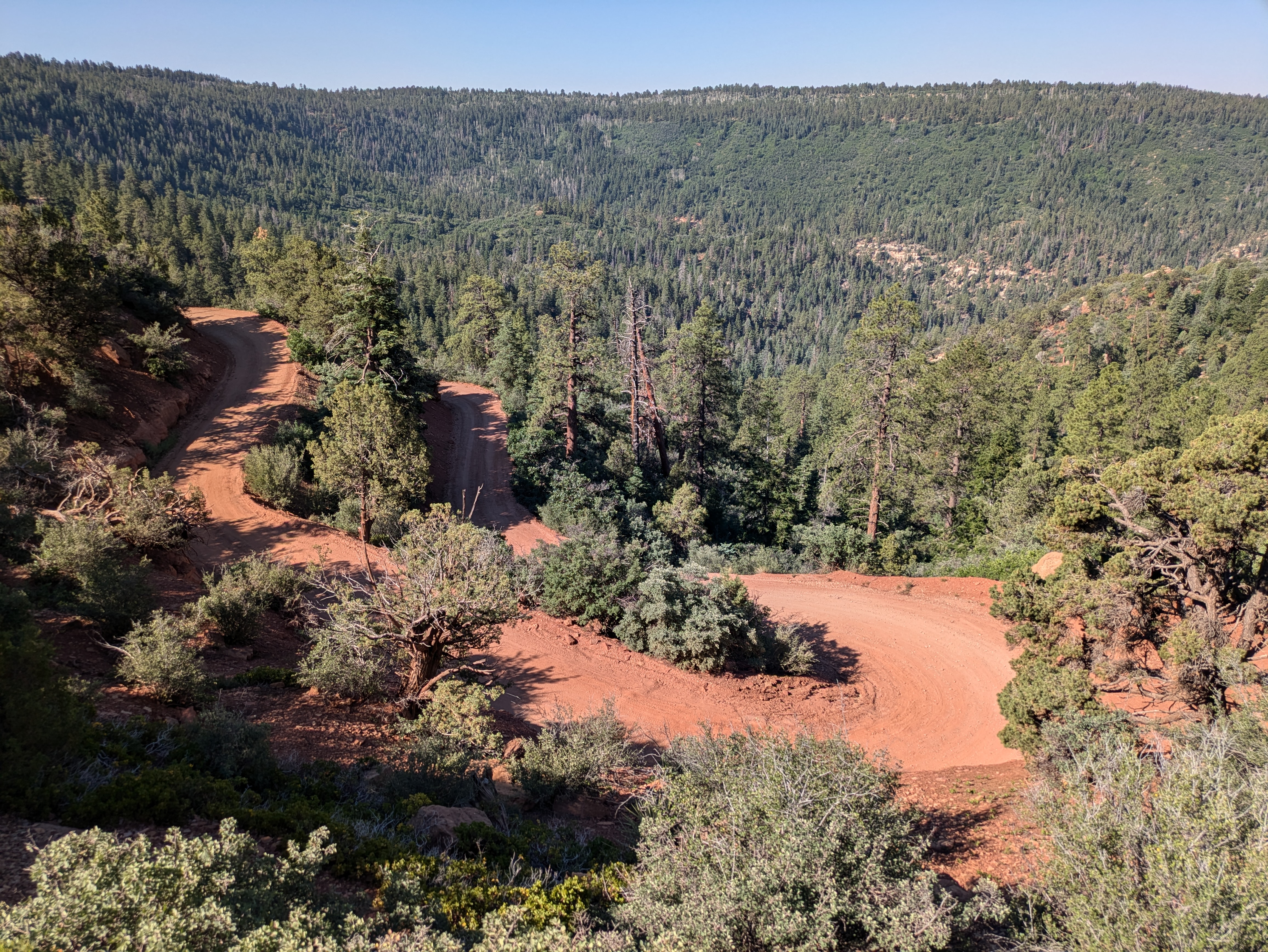
The next morning we finished Forest Service Road 088, an officially designated Scenic Backway, following it along ridges, down steep switchbacks and through forests of ponderosa pine and junipers until we finally popped out on the paved road again. This magic detour, or short cut as I called it, was 57 miles (92 kilometres) long and was a real highlight of our overall trip.
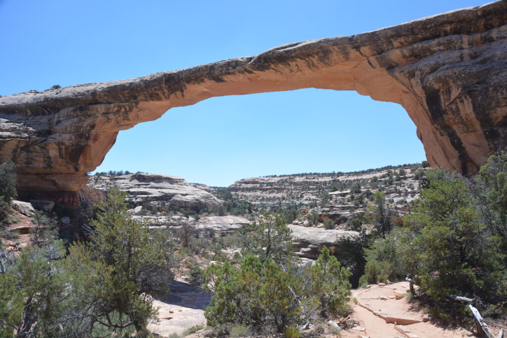
We stopped at Natural Bridges National Monument to see another astonishing geologic phenomenon of this amazing region. Bunched surprisingly close together are three sandstone bridges that have been carved out by the flowing river over millions of years, usually when a river meanders through the landscape like very tight S’s. Eventually the river breaks through, creates a bridge and effectively changes course.
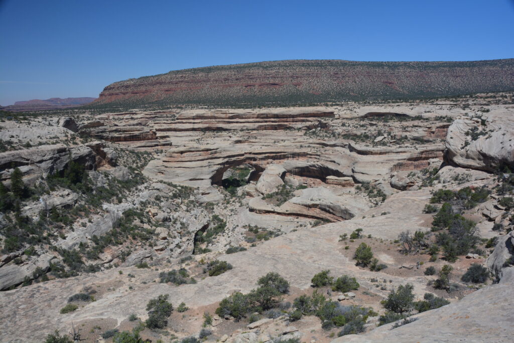
We drove the scenic loop of the park and checked out these three bridges, including taking the walk down to the largest and oldest of the bridges, called the Owachomo Bridge which spanned over 200 feet (61 metres).
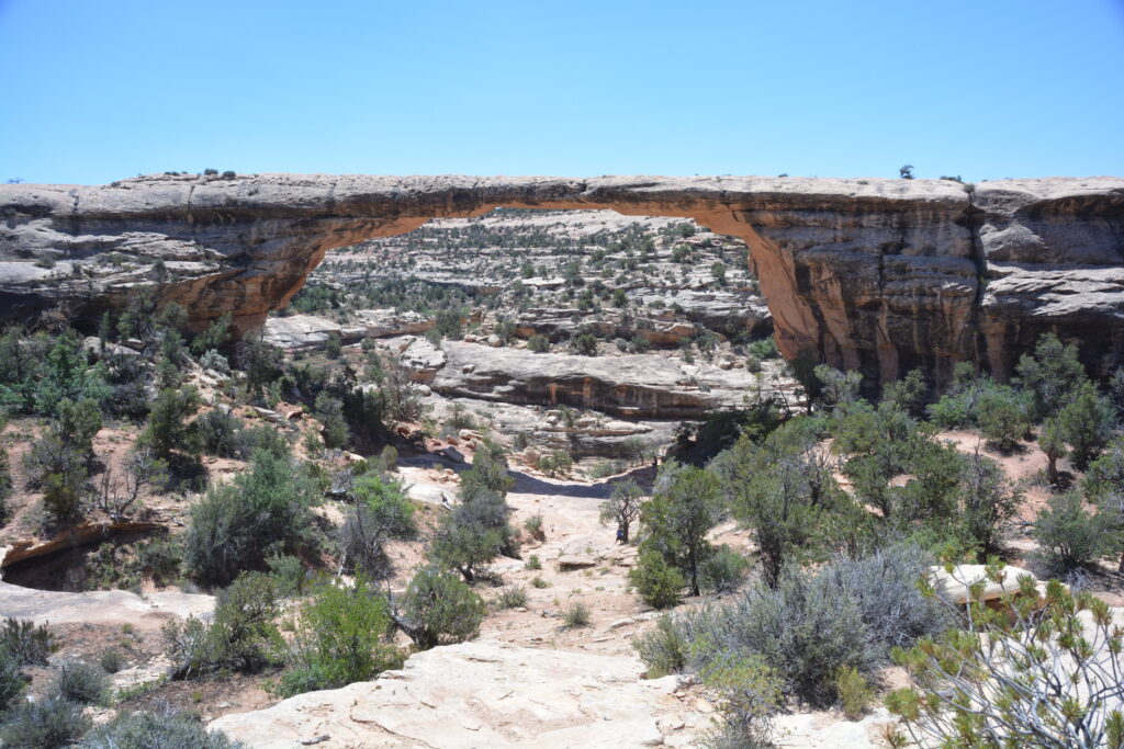
And why are these bridges and not arches? Thanks for asking – it’s because these were formed by running water which carved out the hole and changed the course of the river as opposed to an arch which is mainly formed by the erosion of sandstone through wind and water (but not a river). So now you know.
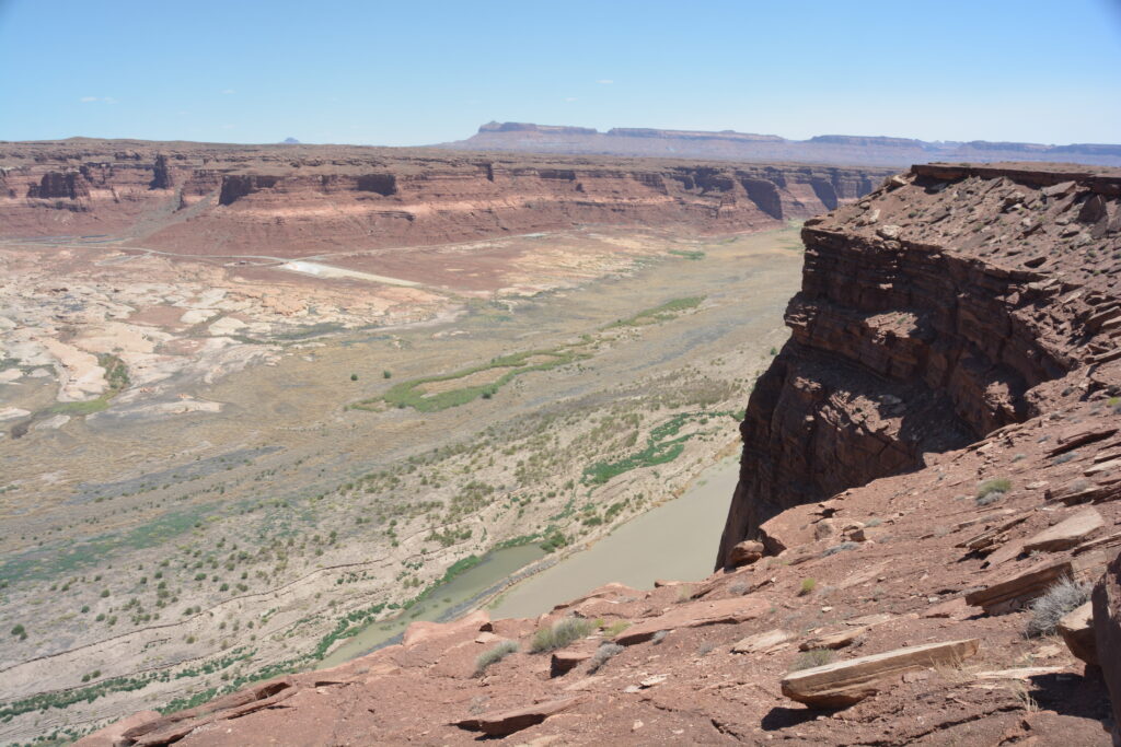
We headed north towards the quirky outpost town of Hanksville but the 90 mile trip was absolutely chock-a-block with spectacular desert scenery, huge carved sandstone cliffs in all directions, their striped layered colours telling their geologic story, a beautiful crossing of the famed Colorado River (again!) and exhausting neck-stretching to take in all these stunning views.
We eventually ended up in Capital Reef National Park, another park preserving amazing sandstone sculptured mountains, but it was late in the day and we were suffering from AVO (amazing views overload). We camped the night outside the western boundary of the park with, yes, amazing views and the next morning reloaded to go back into the park.
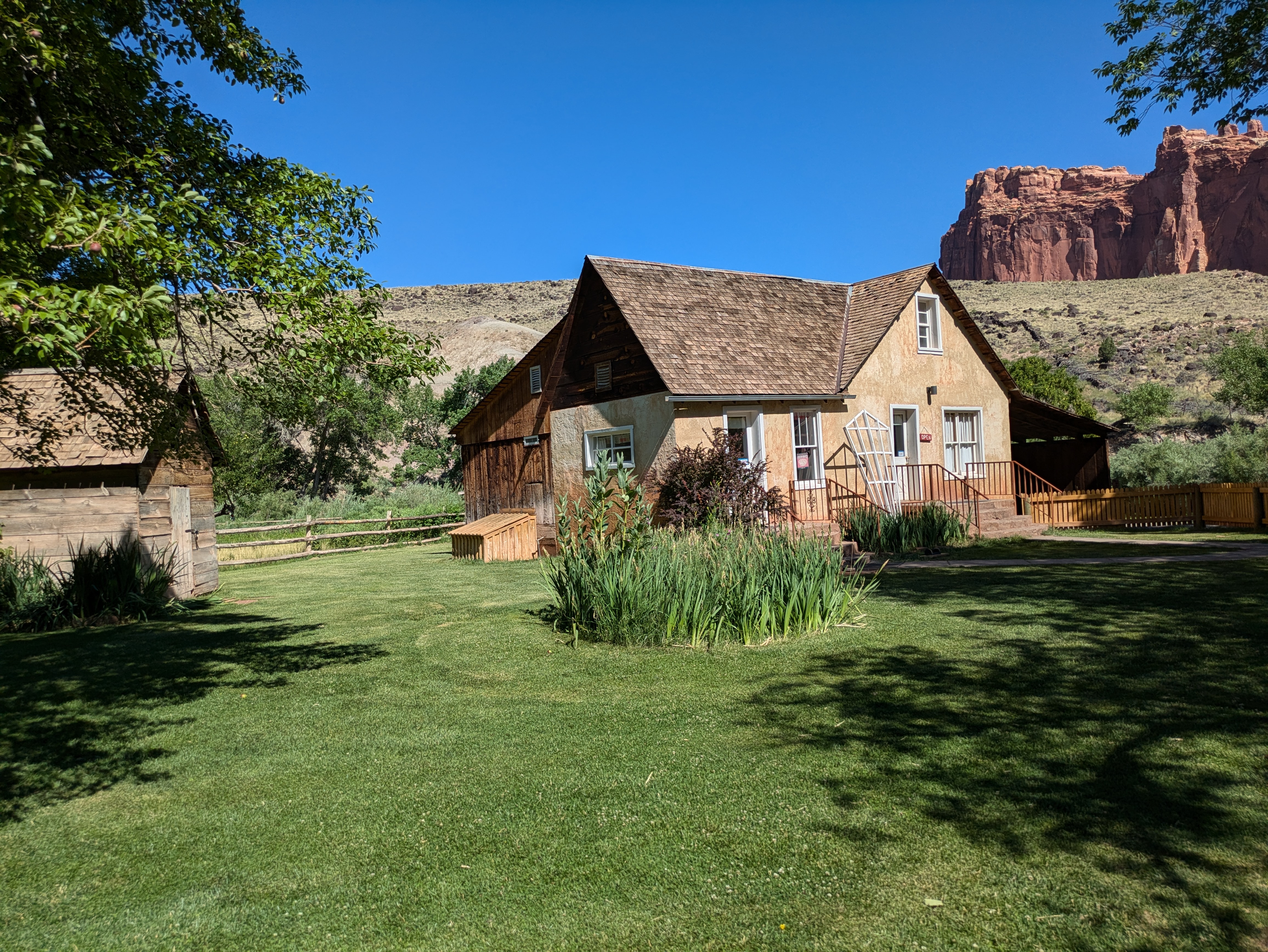
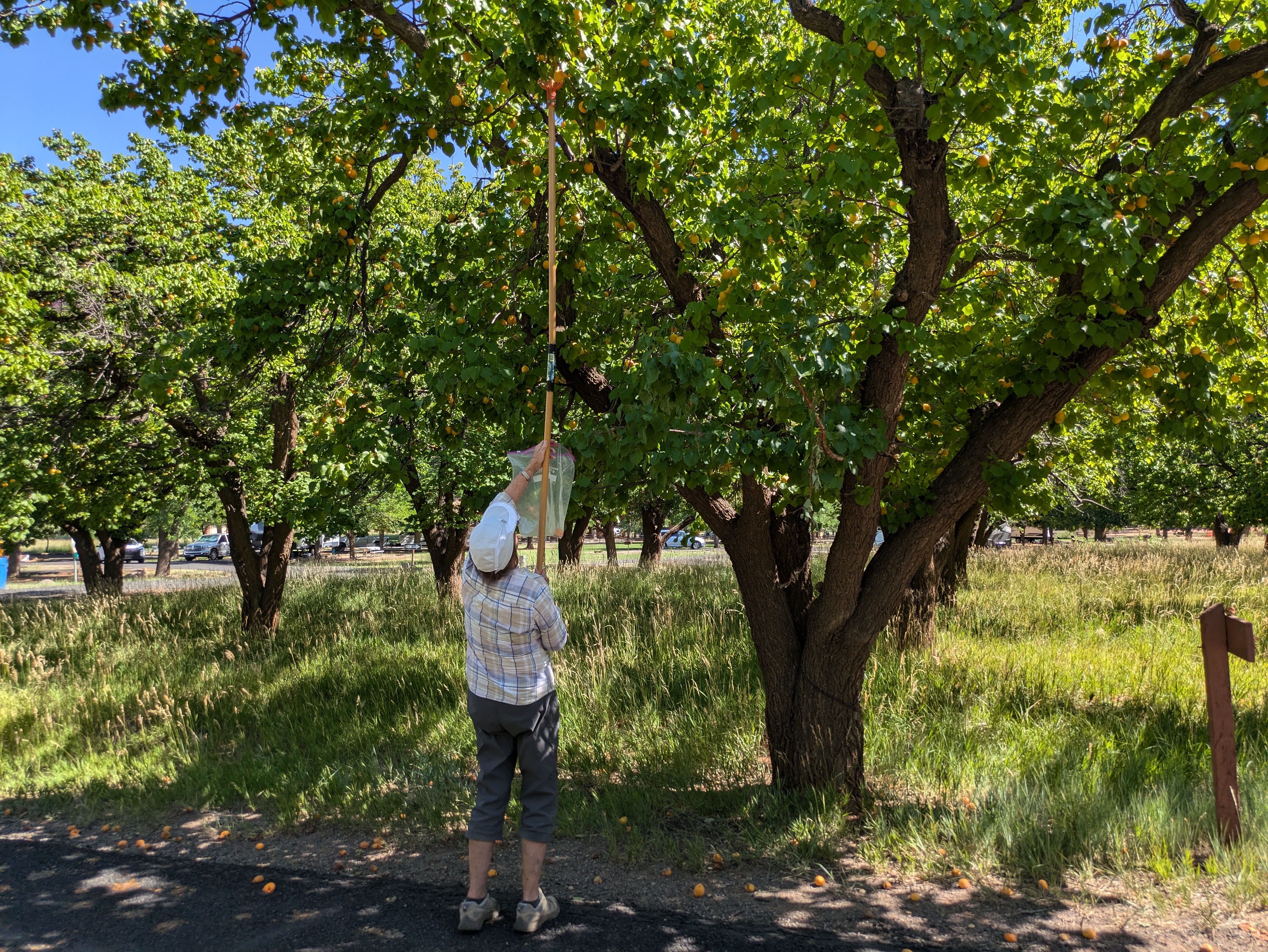
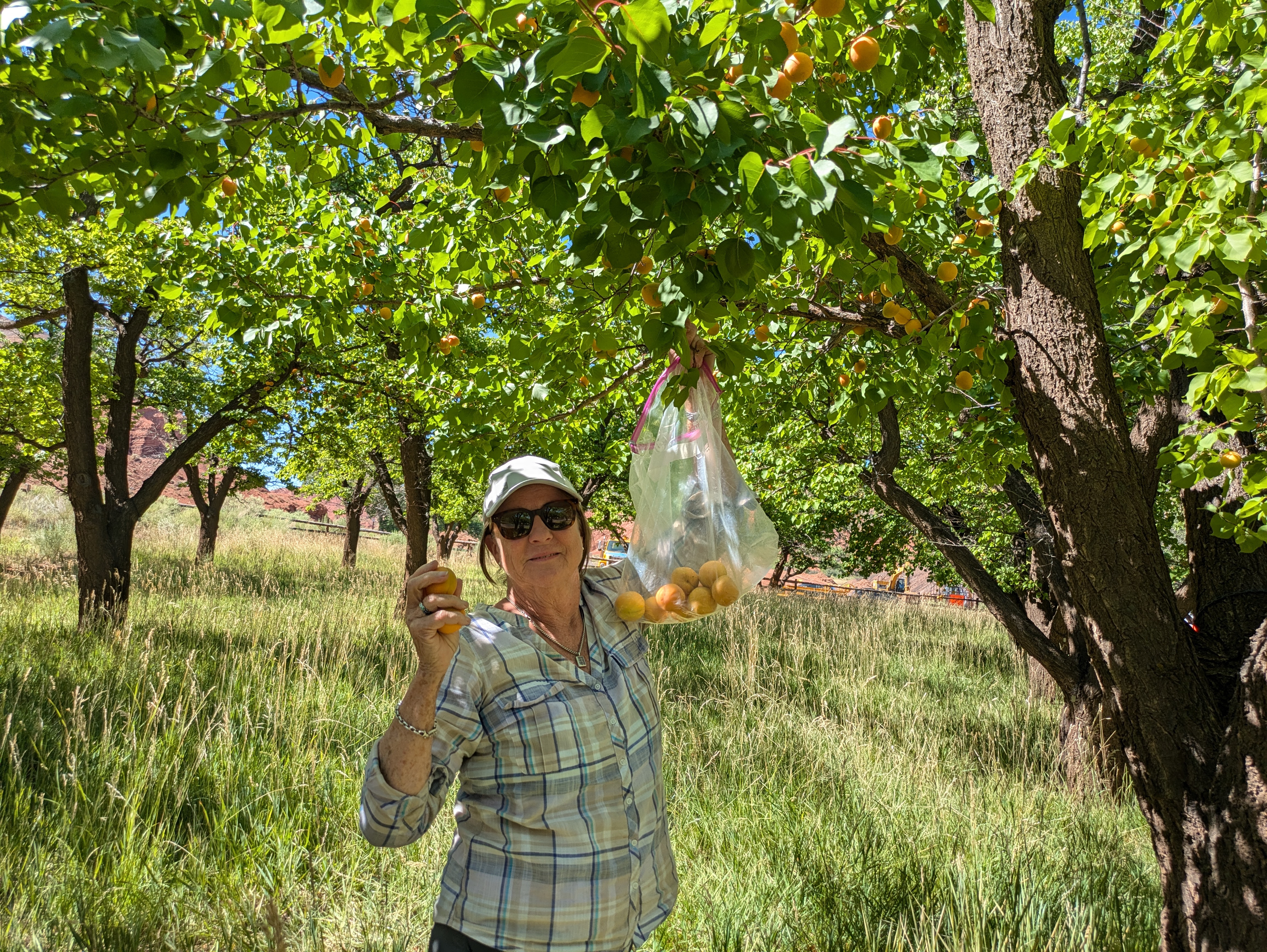
How much of this wonderful stuff can we take? Well, we were about to find out but first we stopped at the historic settlement inside the park called Fruita. Fruita is famous for the Mormon families who lived there and created an irrigation system from the little Fremont River to grow numerous orchards which they lived on and traded. We took up the offer and picked our own apricots straight off the trees for $2.00 per pound.
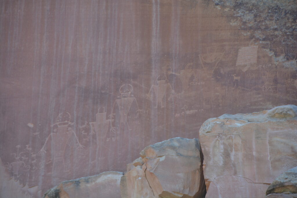
We then checked out the very cool petroglyphs on the rocks nearby, evidence these lands were actively used as far back as 700 AD.
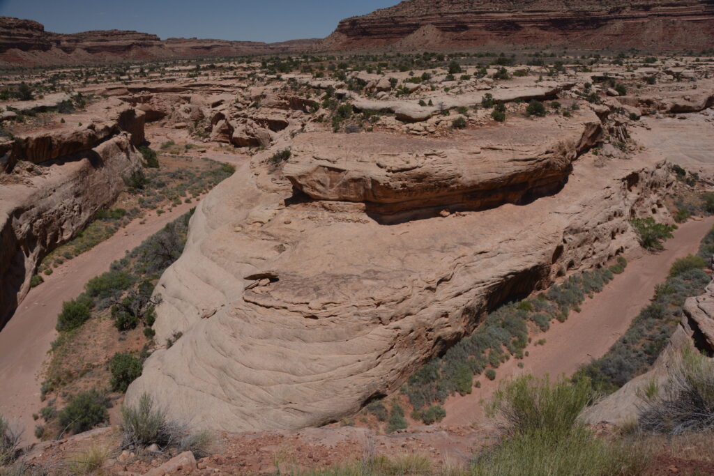
The unique feature of the Capital Reef National Park has the rather odd name of the Waterpocket Fold. I’m no geologist but I think what happened is this extraordinary collision of plates, lifting of the land and later super-duper erosion of the land, mainly by water, over a couple hundred million years have left behind this 100 mile (160 kilometre) long towering ridge called the Waterpocket Fold that features more colours, shapes, sizes and incomprehensible sandstone features than anywhere else. And that’s saying something.
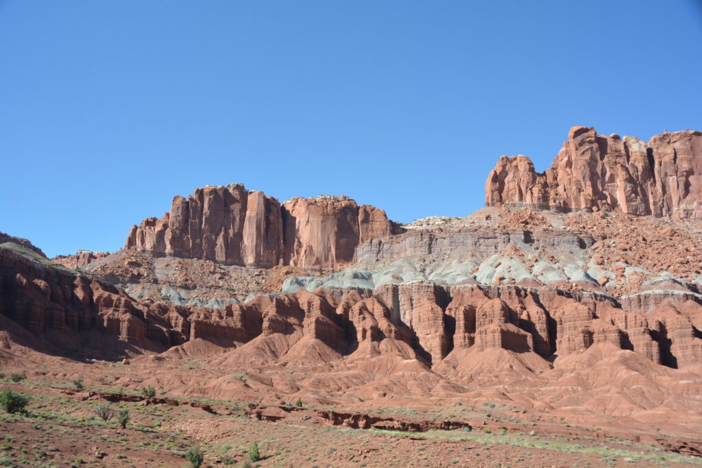
So just when we were getting burned out on amazing views we followed another Scenic Backway, our new favourite way of exploring Utah, and this dirt road took us behind the Waterpocket Fold and delivered us absolutely outstanding views of all sort of weird geologic stuff.
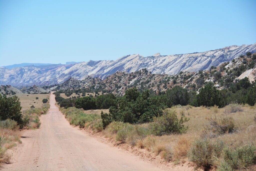
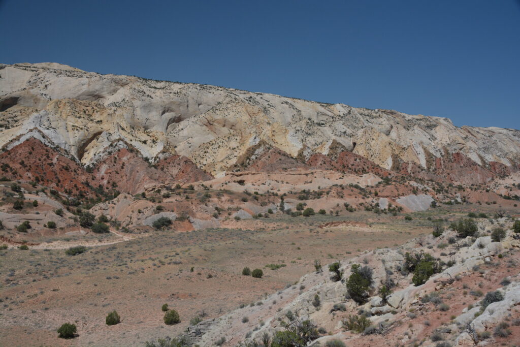
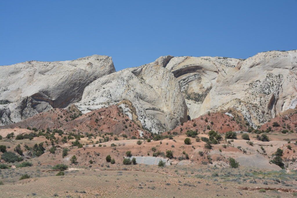
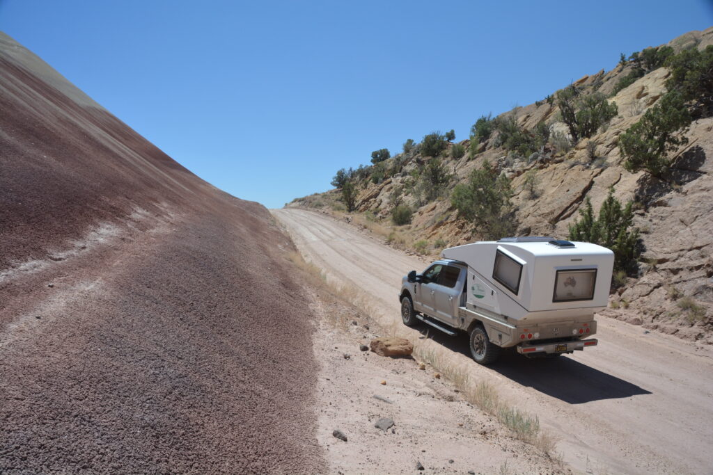
The road then followed an old horse track called the Burr Trail and through a series of tight and steep switchbacks we climbed over the Waterpocket Fold and were safety deposited on the other side. We’ve done some great sections of road in our time and this short two mile switchback journey has to be near the top of the list. Let the photos tell the story.
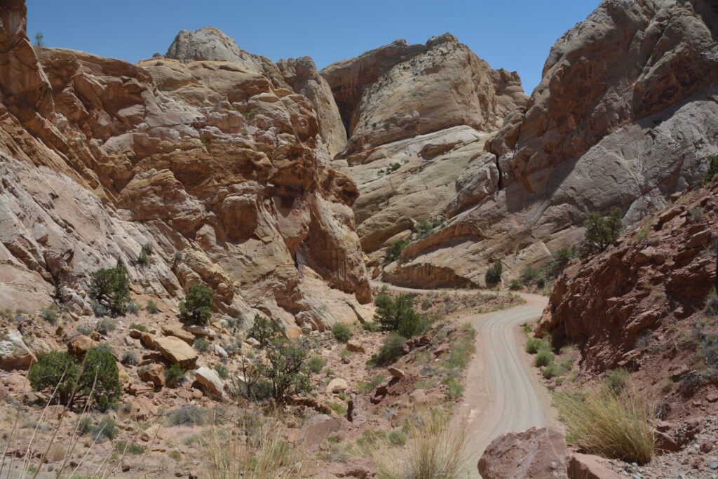
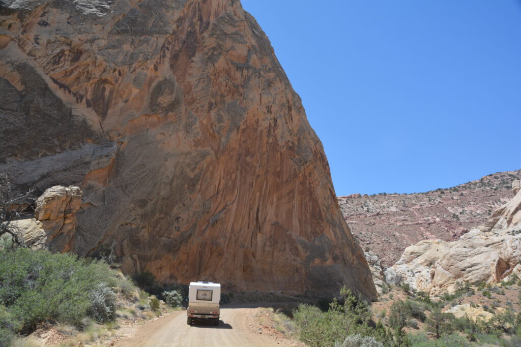
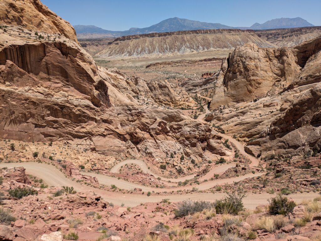
We hit the pavement again and started passing through, wait for it, the Grand Staircase-Escalante National Monument, which is a vast area of over 2,000,000 acres protecting the deep carved-out canyons and high mesas of a huge chunk of southern Utah. There were more heart-stopping pull-outs on the high ridge roads and the low canyon roads to take in the immensity of this beautiful protected land, just wonderful.
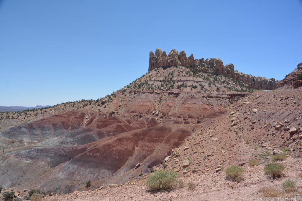
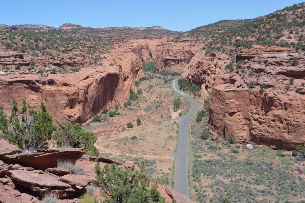
We were totally exhausted from all we had seen the last few days. The Utah normal can be a bit overwhelming at times, but we camped in a beautiful national forest amongst the tall ponderosas, not another human within miles. The pronghorns grazing nearby added to the serene beauty of this spot.
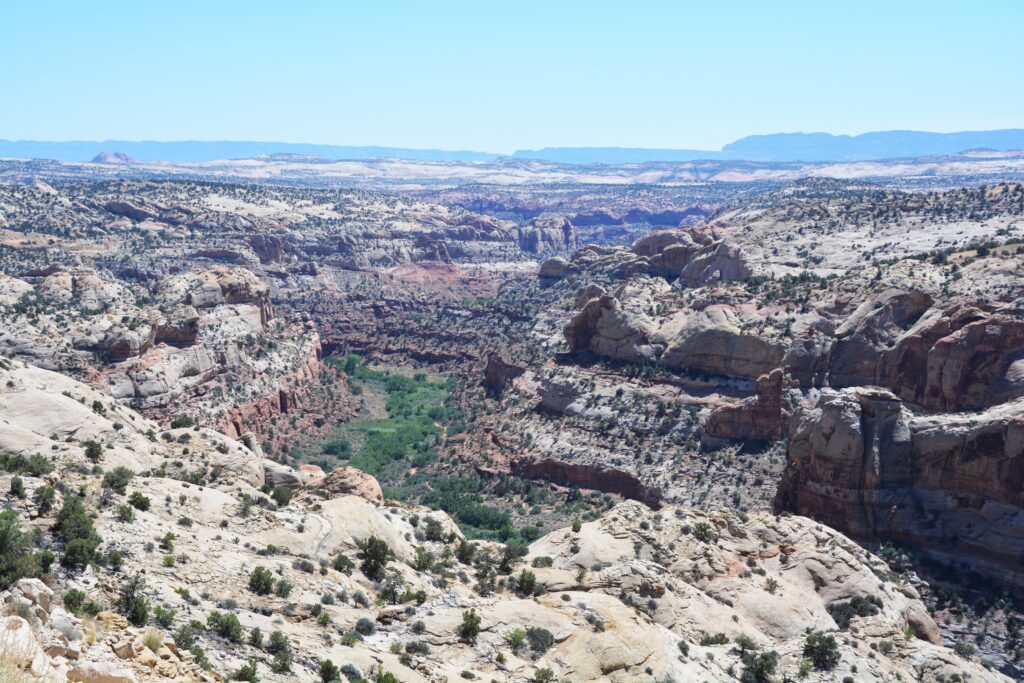
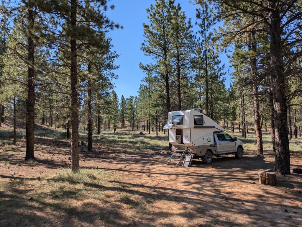
We knew Utah has more to offer and we were hoping that after a good night’s sleep in the forest we could survive a few more days of this wonderful state.

Wow, we too picked apples at Capitol Reef 28 years ago! We almost moved to Escalante instead of Charlottesville as you might appreciate. But since we had family and friends back East, our better senses got a hold of us. Deborah is drooling looking at your photos of Utah and is encouraging us to go back soon.
In April 203 I did two 4-day backpacking trips with a friend into Bear Ears and also into Needles. We had a challenge and a blast of a good time.
One of the great things about the national parks in the US, and there are many, is that the land and it’s history is preserved for future generations – in this case, future generations of orchard pickers!