The Rockies
The Rocky Mountains are probably America’s most famous geographic feature. This towering mountain range runs from British Colombia and Alberta in Canada through numerous American states before finally petering out in northern New Mexico. Probably it’s most famous and most visited sections are in the state of Colorado and we were smack dab amongst it all.
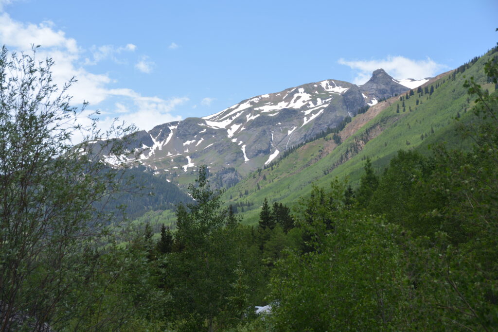
Colorado alone has a staggering 58 peaks over 14,000 feet (4,240 metres), dozens of ski resorts, countless high mountain lakes, roads crossing passes over 12,000 feet and an outdoor culture to support all those who want to explore this year-round adventure wonderland.
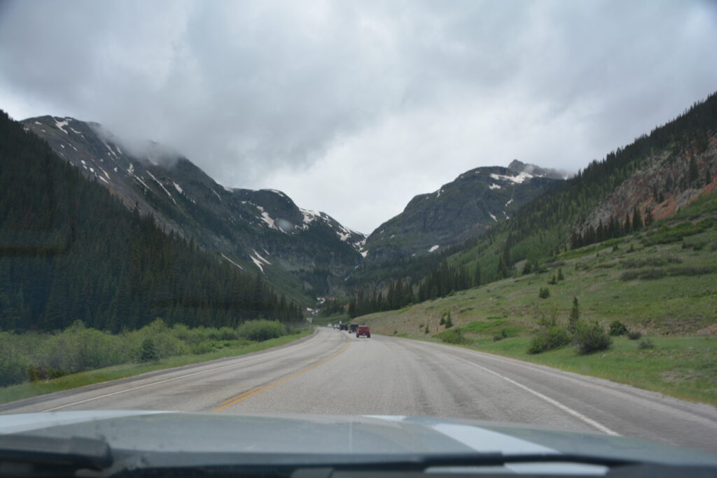
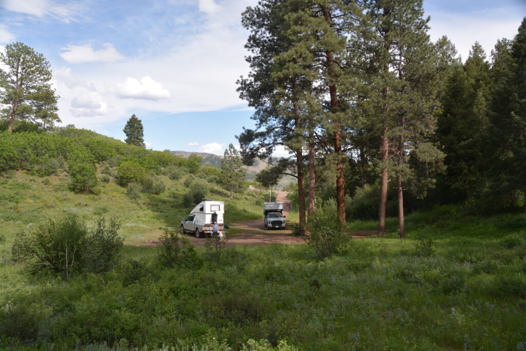
We were camped in a tree-lined meadow at 8,900 feet (2,700 metres) in the mountains above Pagosa Springs. Our evening card game around the fire featured an extraordinary thunder and lightning display until the rain finally chased us indoors. The next morning the grey clouds and dreary forecast told us there would be more of the same.
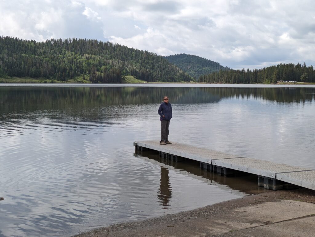
Relishing the challenge, we headed back down the mountain roads to Pagosa Springs and then westward to Chimney Rock National Monument. Chimney Rock and it’s imposing neighbour, cleverly named Companion Rock, tower over the valley as one of the most unique geographic features we’ve seen.
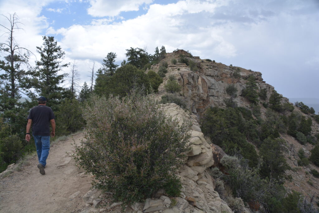
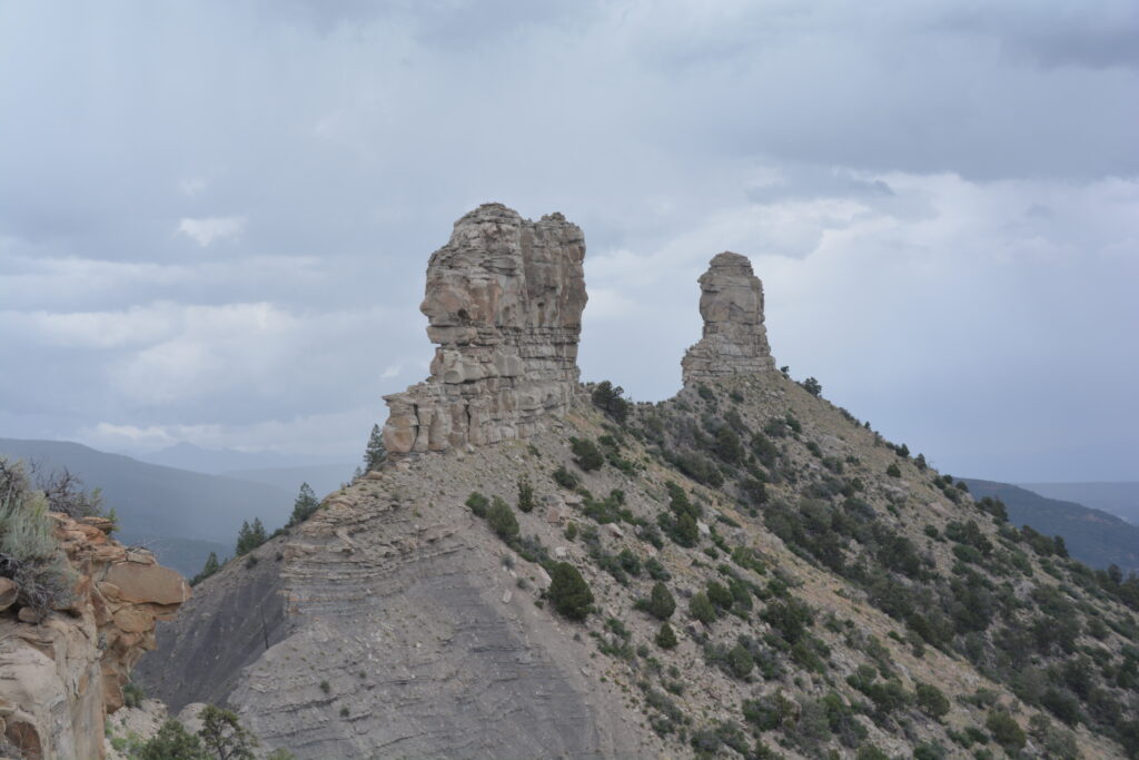
But what made this place really rock (ha ha) is the ancient Puebloan people who lived here over 1000 years ago. These people, part of the broader Chacoan people we learned about in Chaco Canyon in New Mexico, used Chimney Rock and Companion Rock as part of their celestial religious ceremonies and built impressive shelters and kivas at the top of the ridge leading to the rocks and on the slopes below.
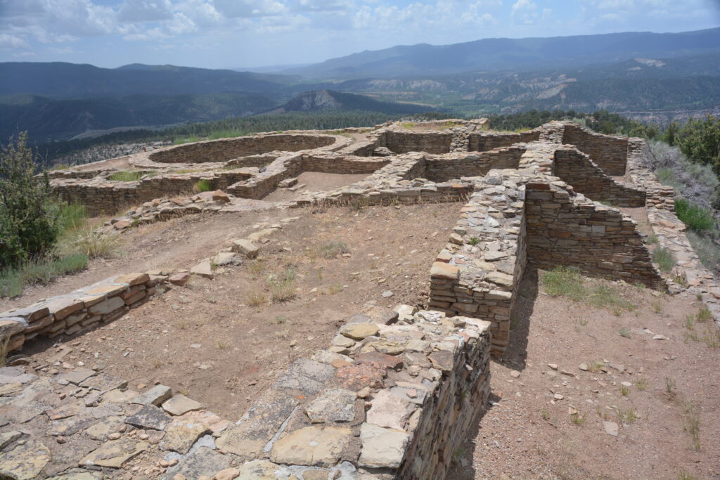
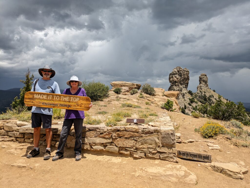
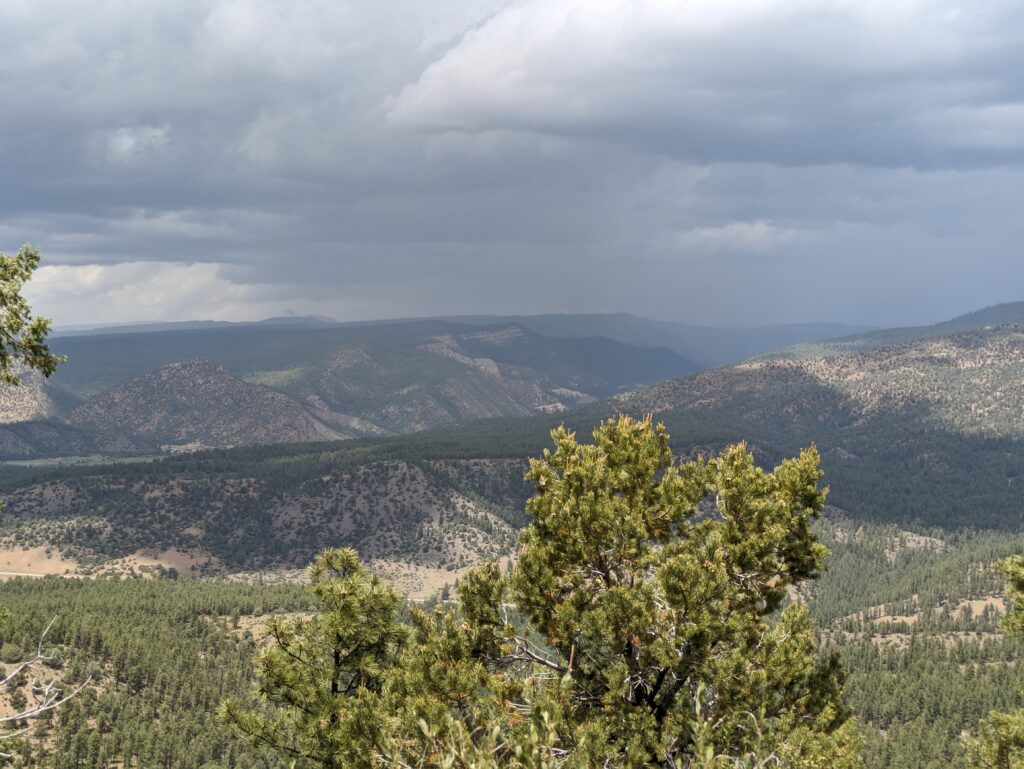
We enjoyed our two walks amongst these ruins, learning more about these amazing people while watching from this high vantage point the storms swirling around us.
We headed down to the large town of Durango for supplies and, not being able to hold off any longer, the skies finally opened up. Rain began pelting down, thunder and lightning ringing through the valley, clouds so low we couldn’t see the beautiful mountains above us. Never mind, we drove north, following the winding road, negotiating numerous switchbacks in the driving rain, ever climbing up up into the clouds. We hit our first pass at 10,640 feet (3,225 metres), dropped down a bit then climbed again, peaking out on Molas Pass at 10,910 feet (3,306 metres). This was heady stuff, for sure, but visibility was zero and driving conditions were awful.
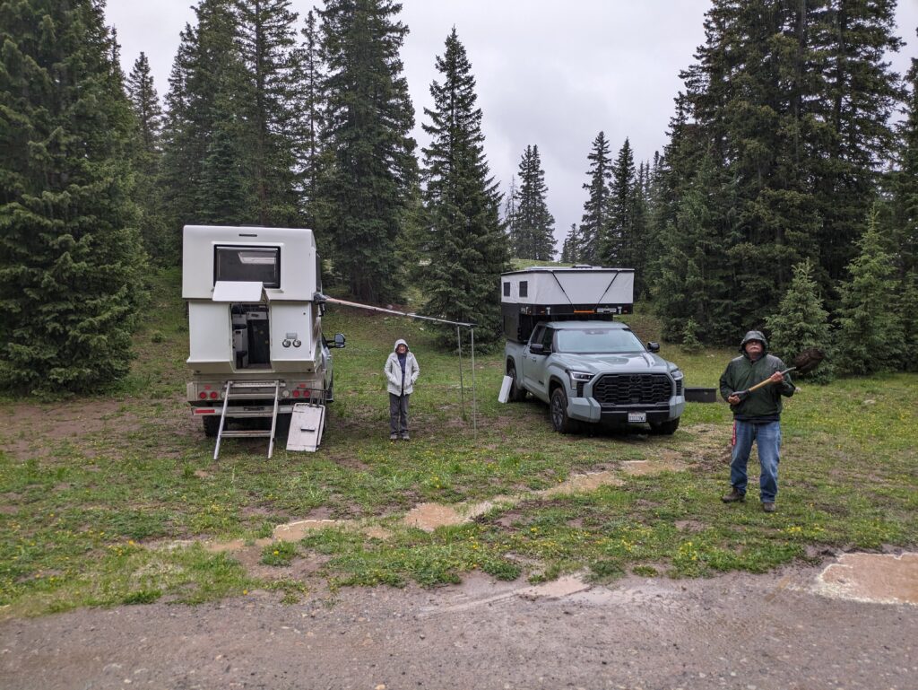
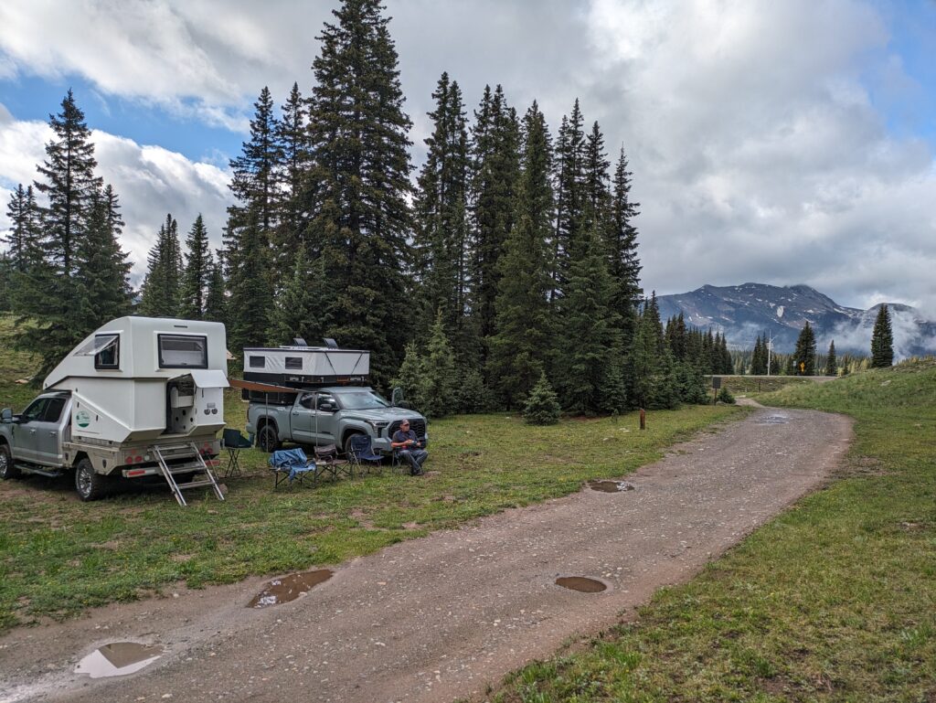
We dropped down a bit, rain still belting us, and drove down a muddy forest trail to a little meadow to camp for the night. At 10,425 feet (3,160 metres) this was one of our highest camps ever, a few notable exceptions being down in South America (Bolivian Andes, anyone?). It was a cold, wet and soggy night but Julie’s Thai red curry warmed the four of us when it was most needed.
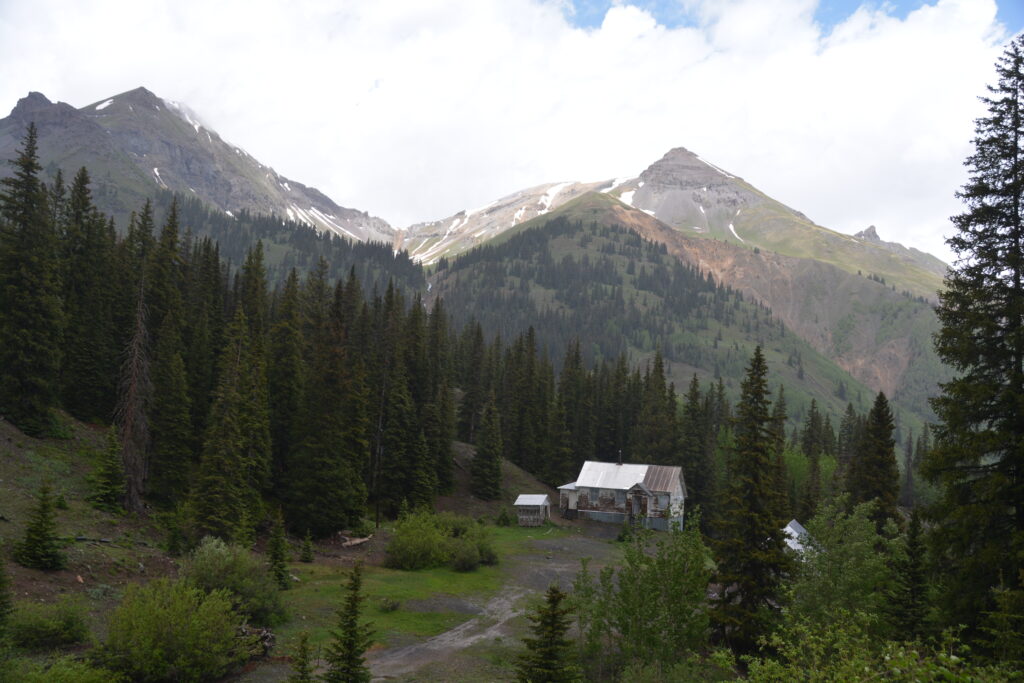
The historic mining town of Silverton is beautifully positioned in a valley surrounded by high craggy mountains. Gold and silver were first discovered in these mountains in the 1860s and for a short while this was one of the richest silver mines in the world. But as has happened all over the western states of the US, the riches in the mine ran out and Silverton receded to a small forgotten community.
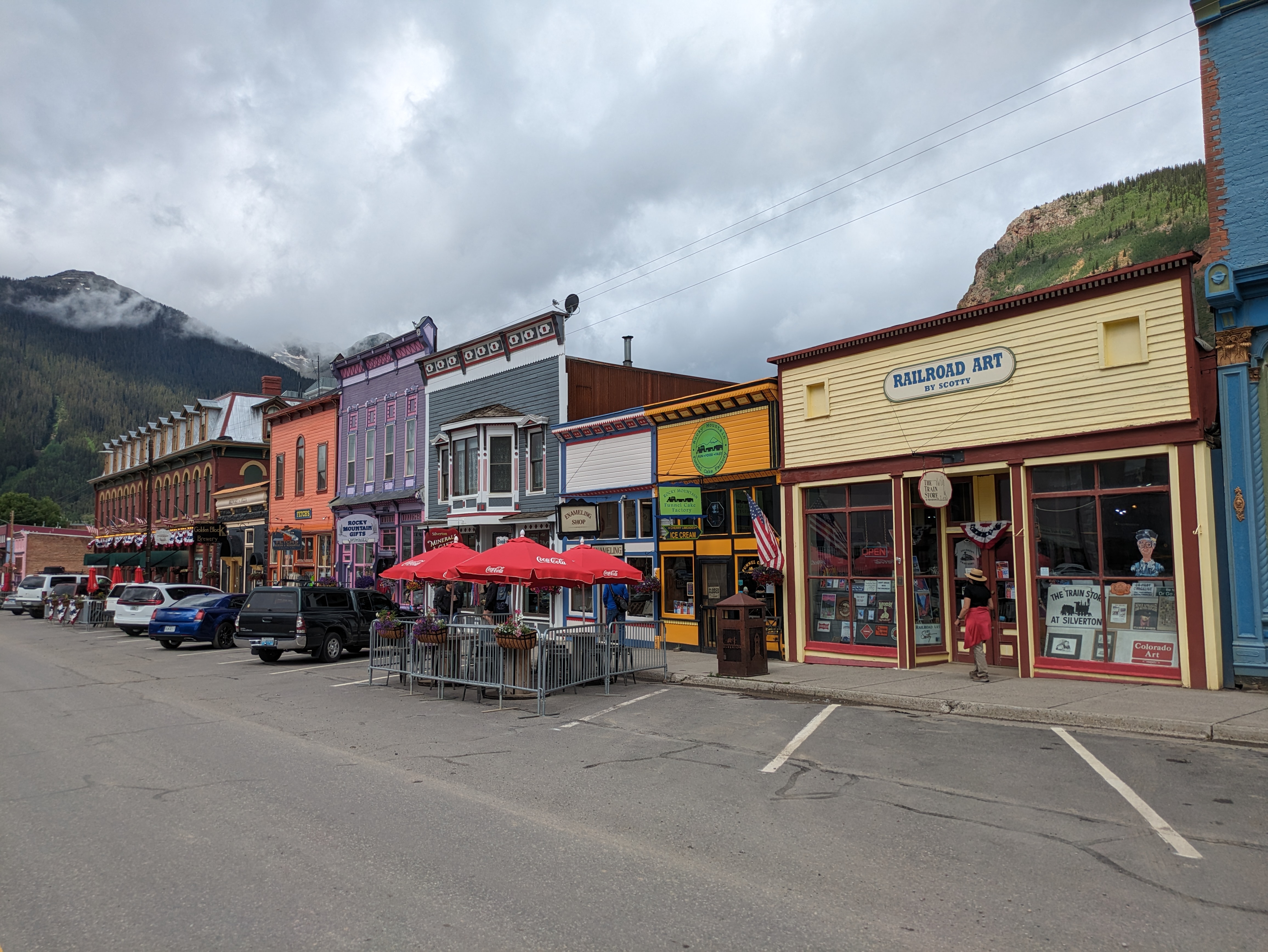
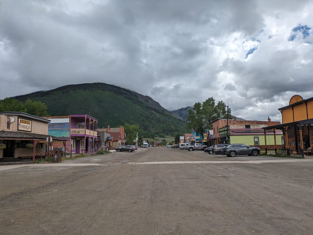
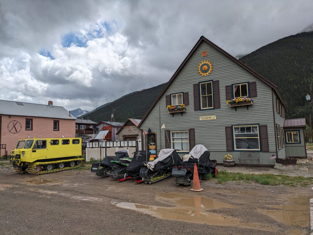
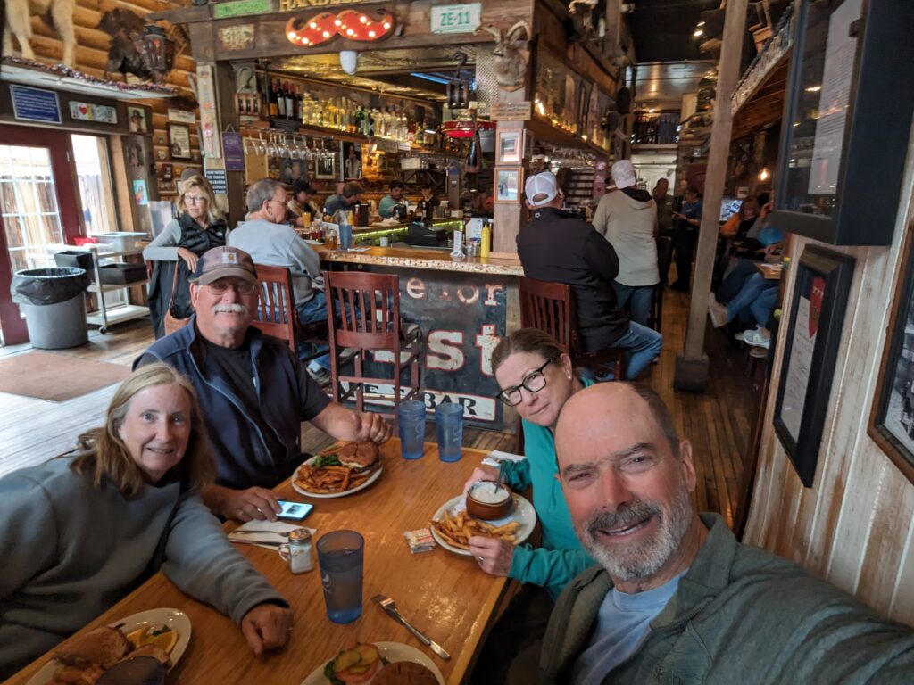
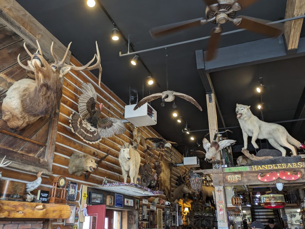
Today the town is alive with restored buildings, tourist shops, cool bars and restaurants, all the sort of thing to make it a magnet for travellers in southern Colorado. We really liked the vibe of the place, touristy or not, and splurged on burgers in one of the fun restaurant/bars.
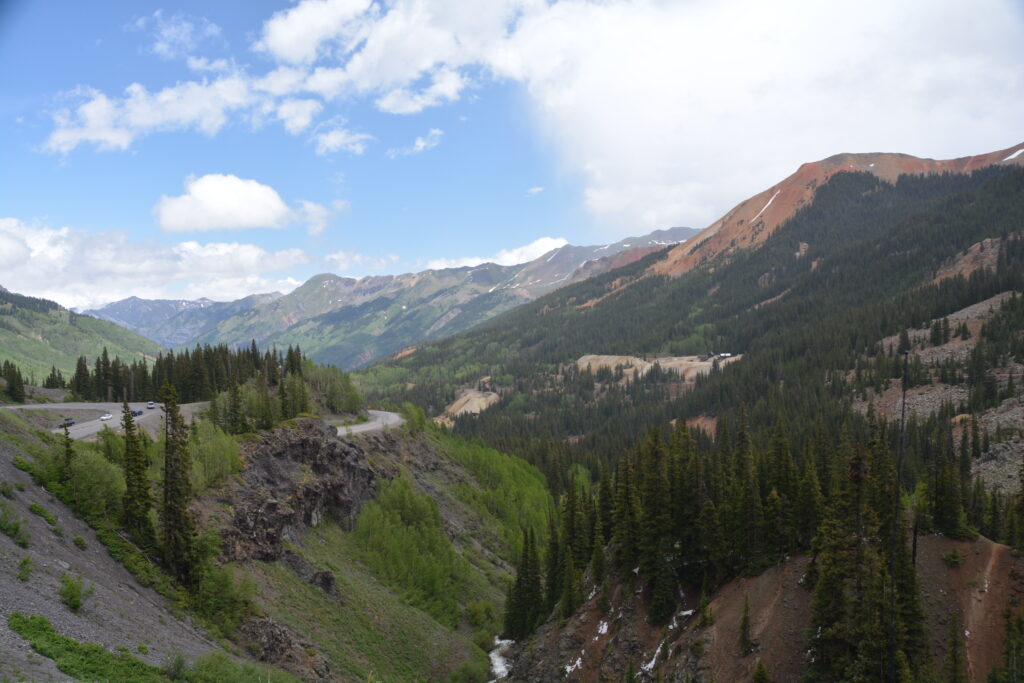
The road north from Silverton to the other historic mining town in the area called Ouray is only about 25 miles (40 kilometres) long but such is the magnificent mountains it passes through it is called the Million Dollar Highway. This road is an absolute cracker with high mountain views, historic mining sites and patches of snow down at road level. It’s highest point, Red Mountain Pass, set a new record for this trip at 11,018 feet (3,340 metres).
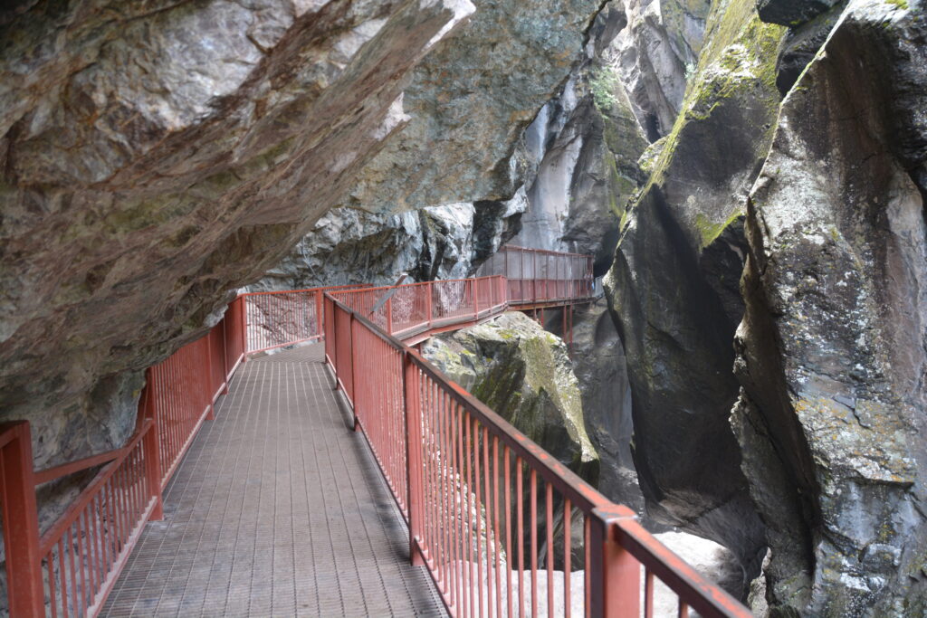
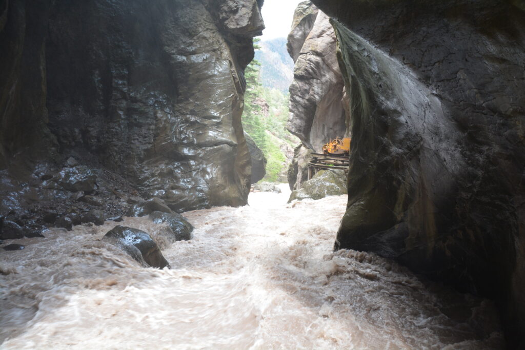
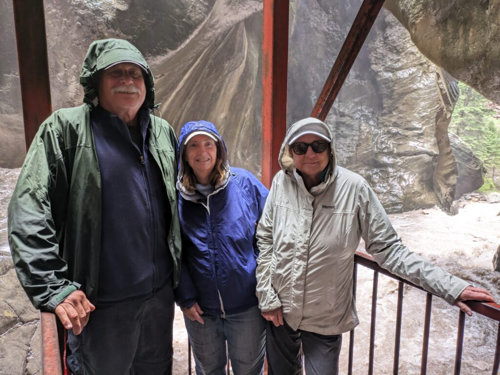
In Ouray we walked a short ways up Box Canyon to see Canyon Creek crash through a super narrow carved-out crack in the mountain. This was a very cool experience, so close to the awesome power of the water as it thunders it’s way through the narrow slot it has carved.
We also went to the hot springs on the edge of town and enjoyed an afternoon spell sitting in hot water pools and soaking away our travel grime until we were glowing pink. It was crazy good to be sitting in water up to 106°F (41°C), admiring the snow-tipped mountains high above us and laughing when the occasional rain shower passed through.
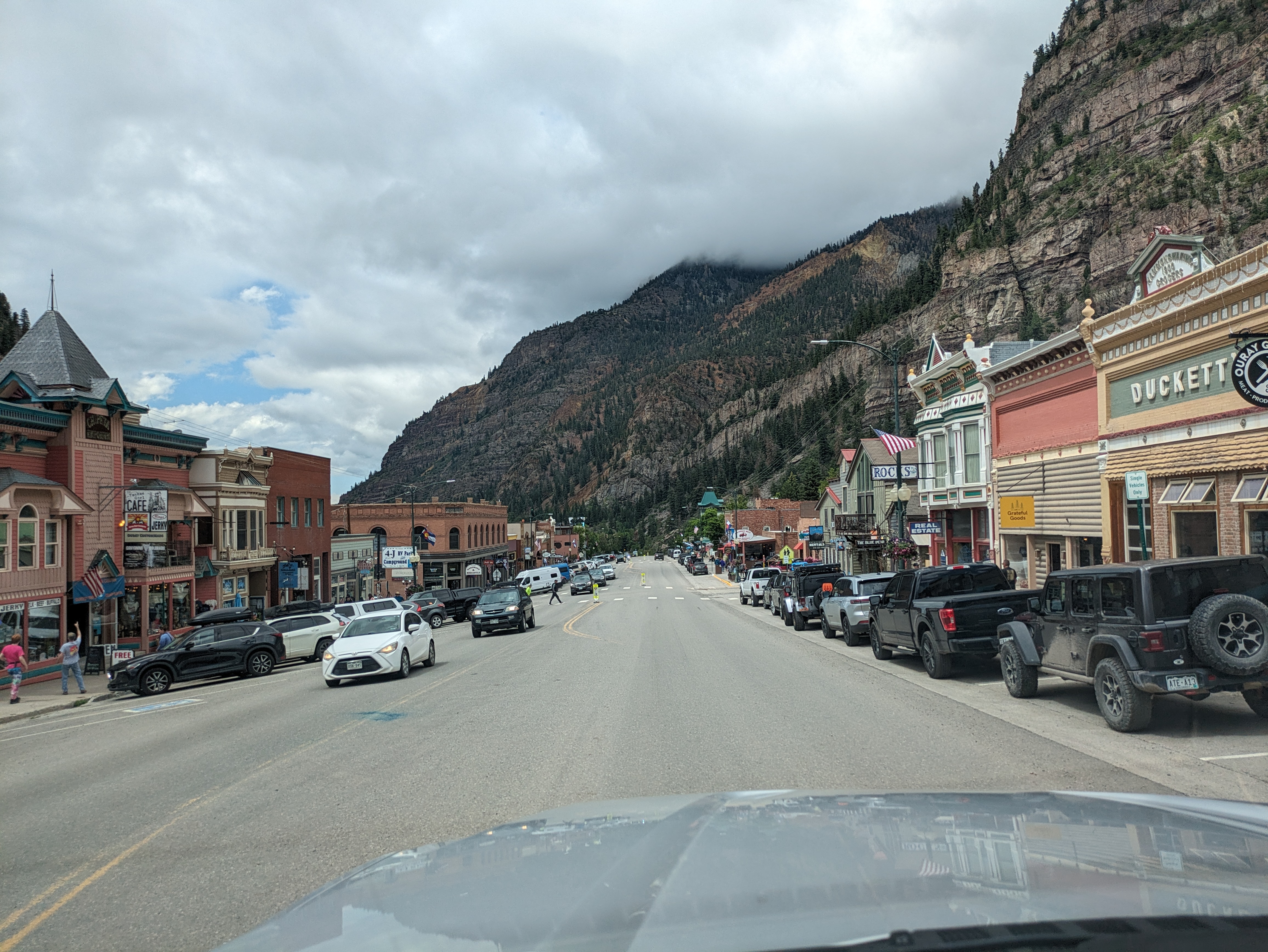
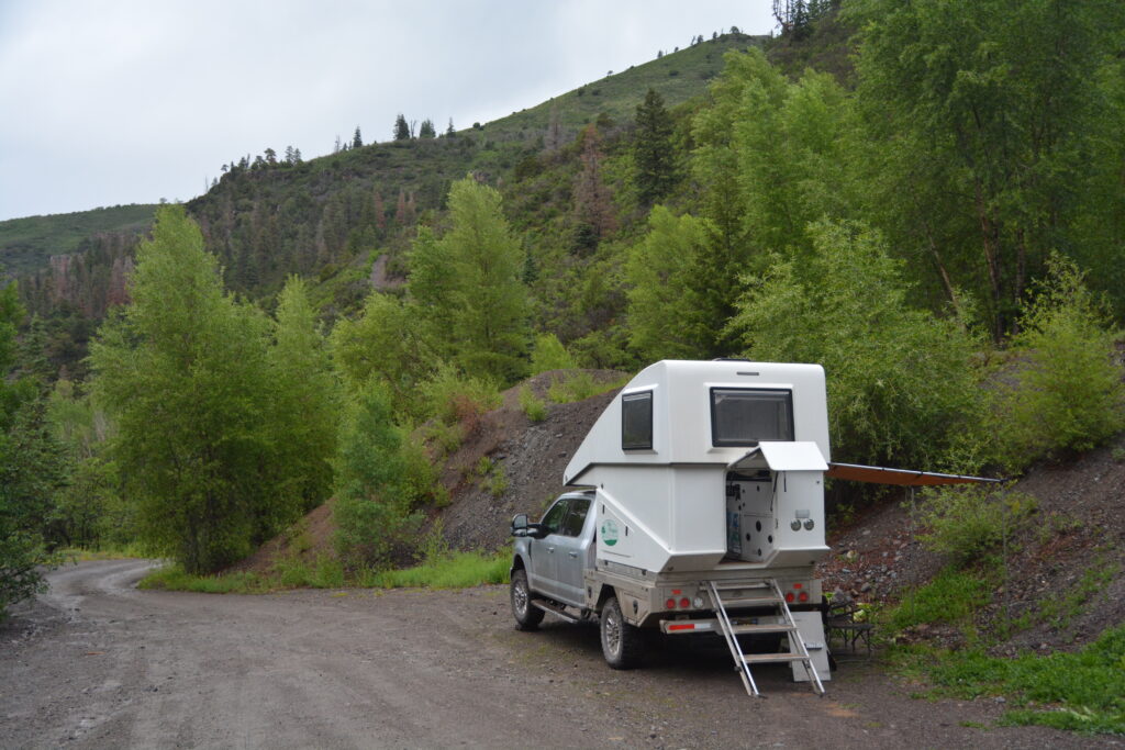
We camped that night in the rain up a long steep muddy track which followed Dexter Creek. Somehow those super-hot days and nights in New Mexico seemed a long way away. The next morning, with blue skies showing promise, we ventured back down to Ouray to walk around this well-preserved historic town and admire the high mountains that sweep vertically from the town’s edge.
Like many people who travel through the United States, the nation’s national parks are the shining gems of any journey. Many people dedicate summers to travelling dot to dot of these wonderful natural settings. Julie and I are no exception and we had our eye on a couple of great national parks in Colorado – Rocky Mountains National Park and Black Canyon of the Gunnison National Park.
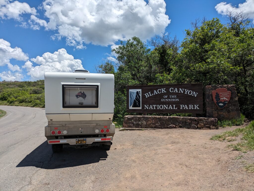
Black Canyon is a deep and dramatic gorge carved out by the Gunnison River over millions of years. The vertical canyon walls, some over 2,200 feet (670 metres) high, are often streaked with different coloured rock layers, making the whole scene even more spectacular.
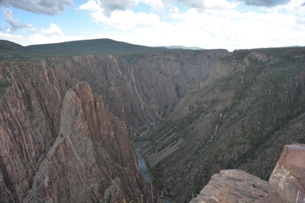
We snagged a camping spot within the park, something akin to winning the lottery, and spent the rest of the afternoon driving along the stunning south rim drive, stopping at every lookout to gaze down into the abyss. This canyon is just amazing and at every stop the first word that came to mind was WOW! Even a passing rainstorm couldn’t dampen our awe of this place.
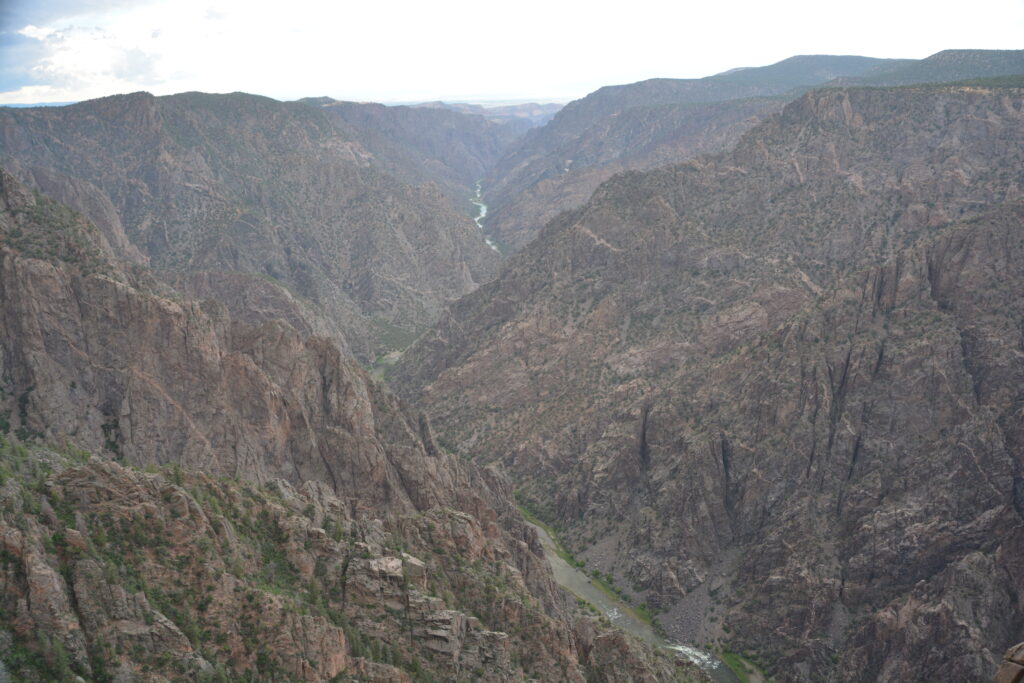
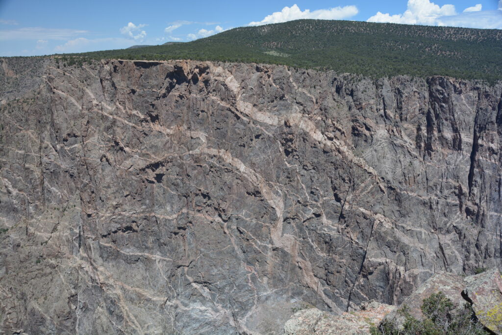
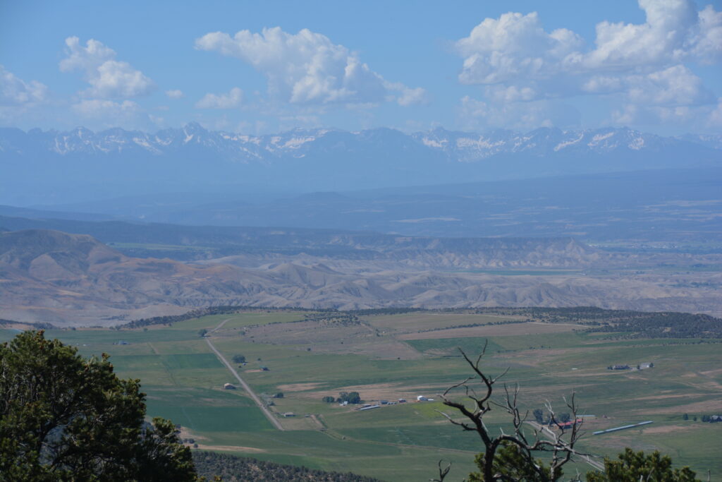
The next morning we headed back out to the end of the scenic drive and did the 1.4 mile (2.4 km) return walk along the ledge of the canyon to Warner Point. In addition to providing dizzying views of Black Canyon we also walked amongst the many hundreds-years-old juniper and piñon pines and had sweeping views to the south of the barren badlands and irrigated farm land way below.
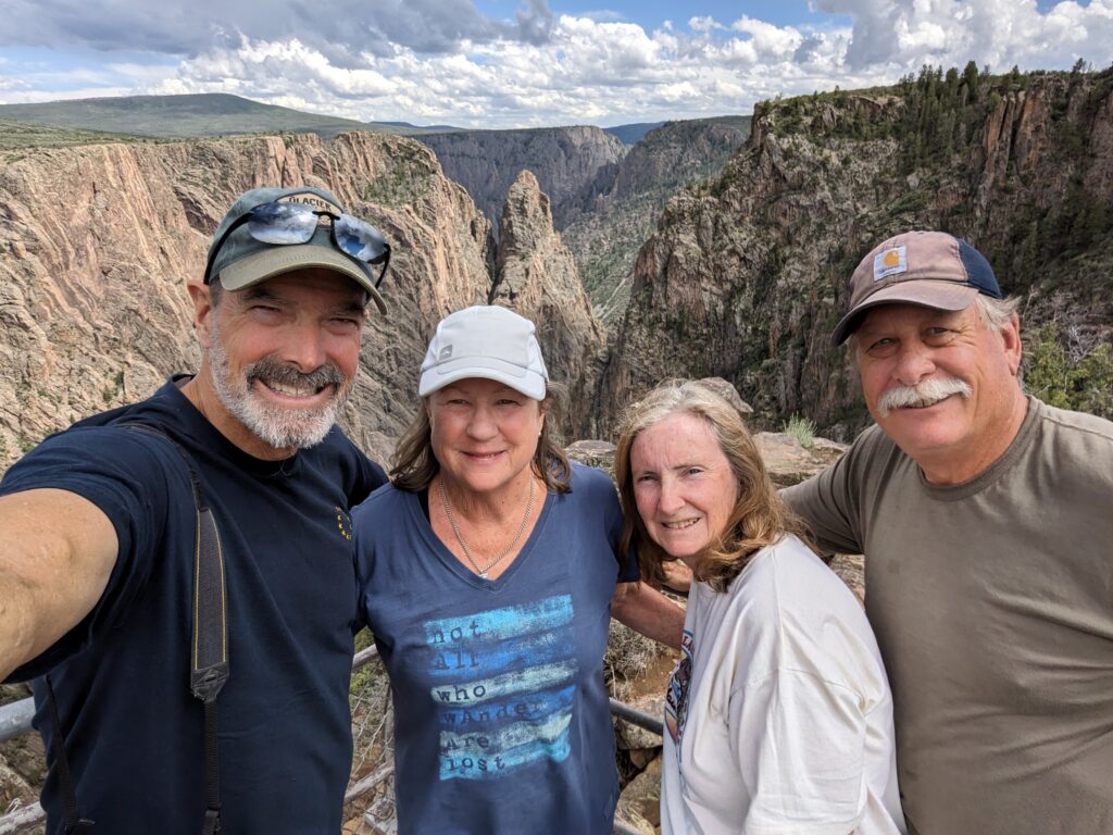
Our last stop in the park was a place called East Portal which is actually down at water level and is reached by a crazy steep (up to 16%!) and winding road that delivered us to the bottom and bent our necks to see the vertical gorge walls towering over us. Great stuff.
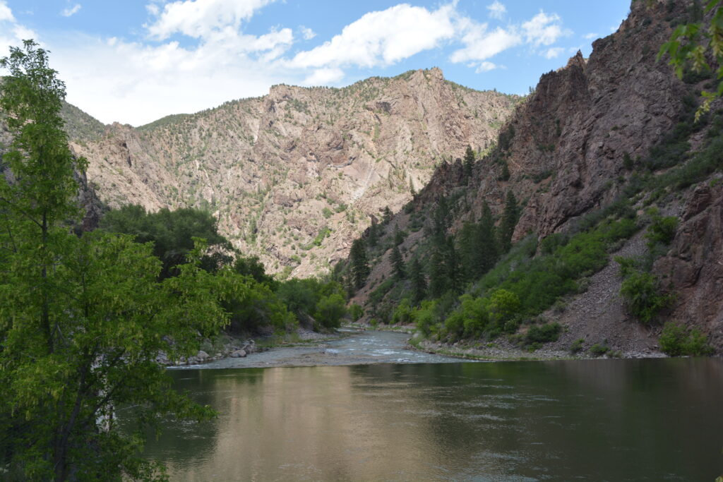
We headed eastward, stopping a couple of times to take in the extensive water management system of the Gunnison River called the Colorado River Storage Project, including two of it’s dams, creating hydroelectric power and almost unlimited boating and fishing opportunities for those so inclined.
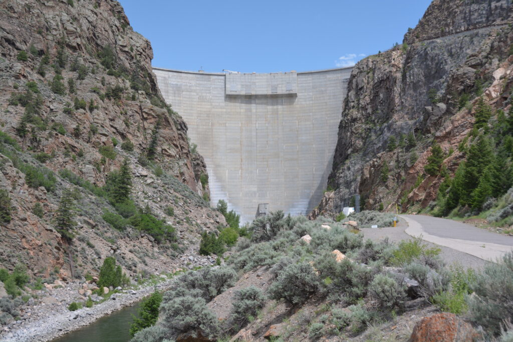
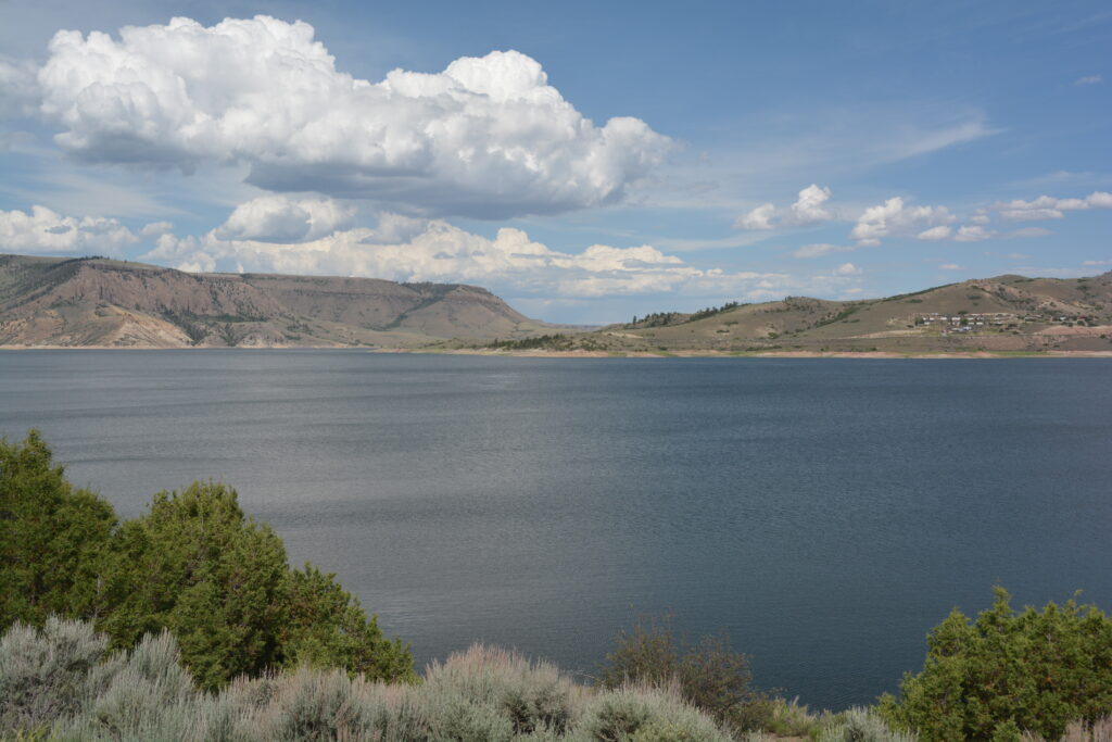
We found a quiet place to camp for the night under a grove of towering ponderosa pines after following CR721, a well maintained dirt road which traced the shoreline of Soap Creek Arm, part of the huge reservoir. And we were rewarded with views of the spectacular mountain range in front of us called the Dillan Pinnacles, eroded volcanic formations, jagged rock outcrops, towering land shapes and a wonderful mountain skyline that ooed and awed us.
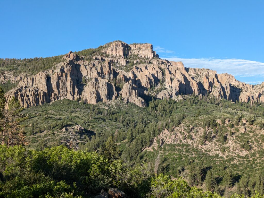
The Rockies have been absolutely spectacular so far and we know we have much more to see. Can’t wait!

Comments
The Rockies — No Comments
HTML tags allowed in your comment: <a href="" title=""> <abbr title=""> <acronym title=""> <b> <blockquote cite=""> <cite> <code> <del datetime=""> <em> <i> <q cite=""> <s> <strike> <strong>