Colorado keeps giving
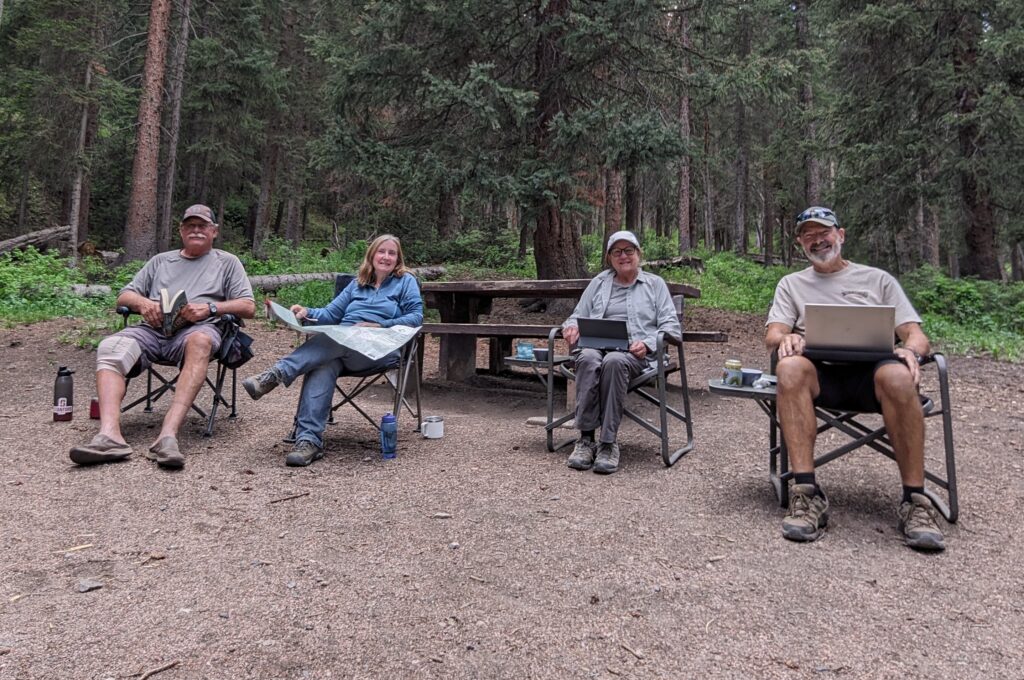
They say that all good things must come to an end and we certainly proved it in the upmarket ski resort town of Crested Butte. It was here that my sister Kathy and her husband John had to leave us to get back to family commitments in California. They had been travelling with us for almost three weeks and we had made an excellent foursome. Julie and I usually don’t travel with other people because of a mismatch of travel styles but Kathy and John have an almost identical travel outlook so it worked perfectly.
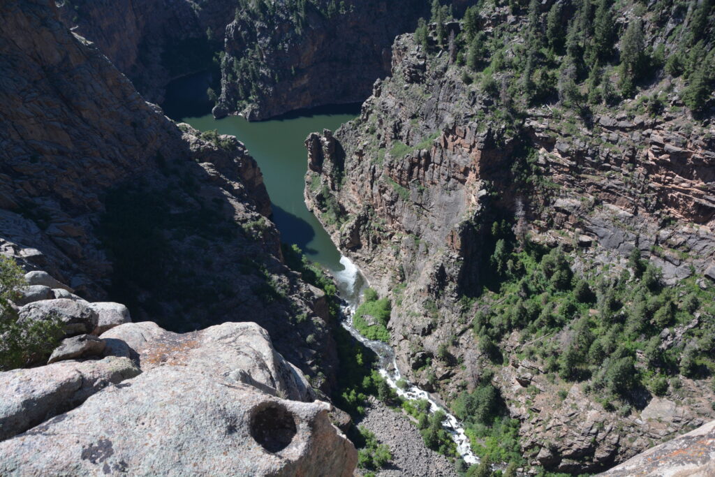
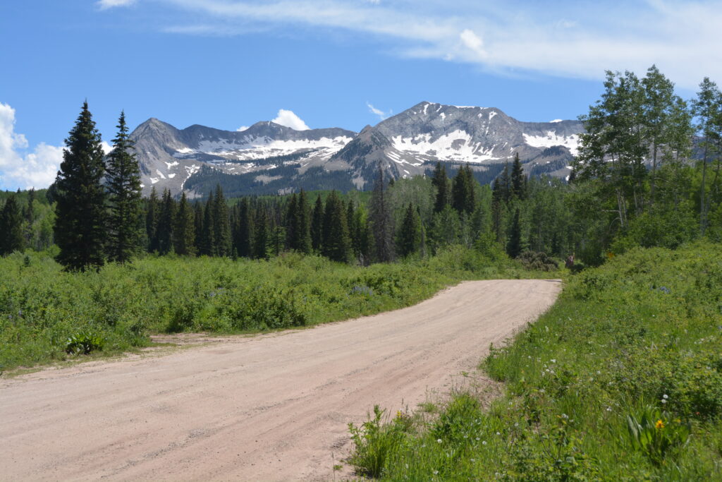
The day before we said goodbye we had quite a journey to get to the obscurely located Crested Butte, high in the Rockies. We travelled along the north rim of the canyons, dams and reservoirs formed by the Gunnison River, the third day we had been exploring this phenomenal natural and manmade phenomenon (if I can say that). We then hoicked it over 9,980 foot (3,025 metres) Kebler Pass on a winding dirt track that took us through forests of aspen and fir while showing off the spectacular snow-melt mountain tops all around us. We took a few photos.
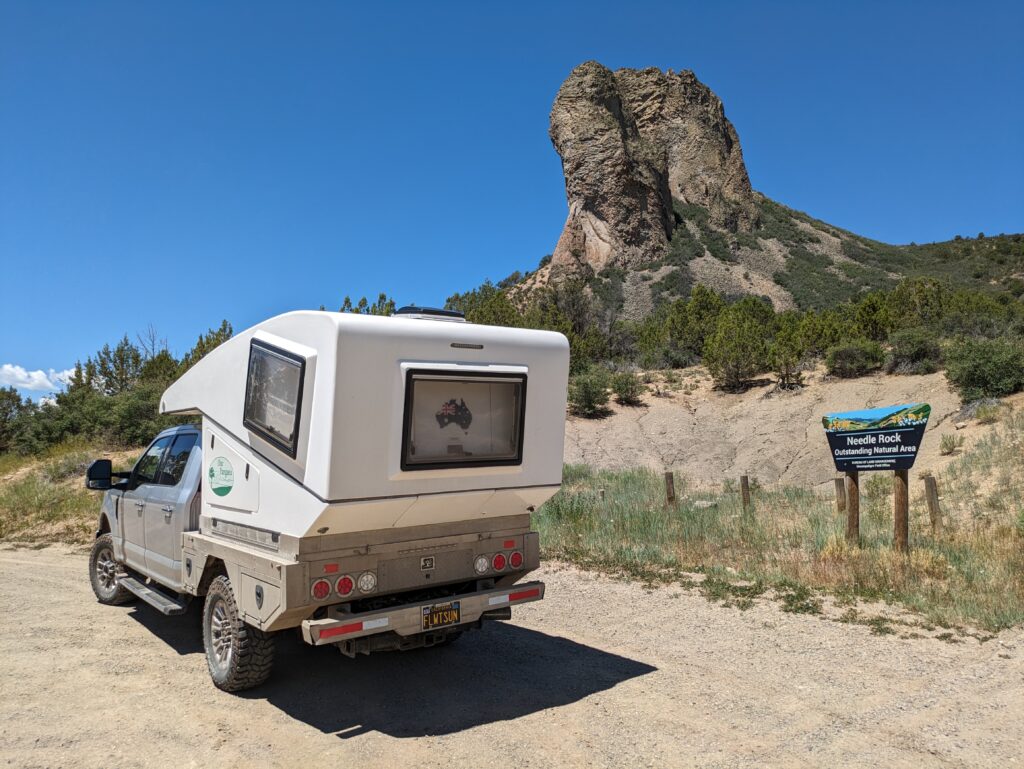
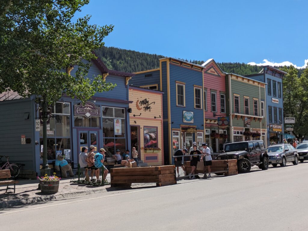
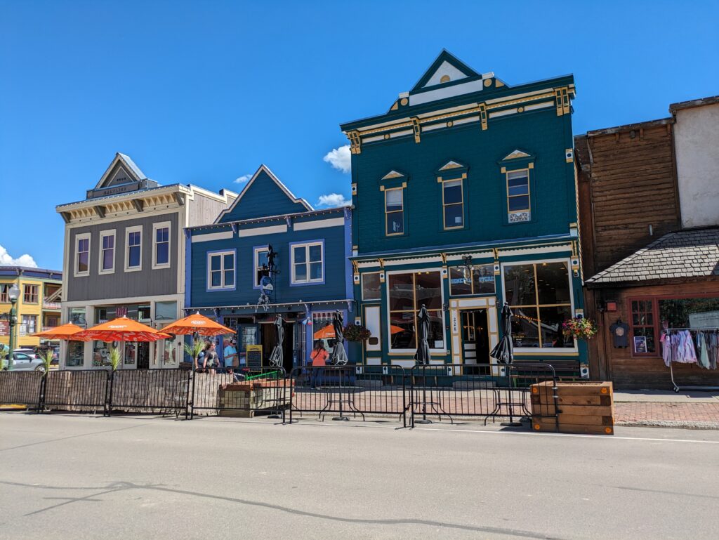
The town of Crested Butte itself is a cute little touristy summer and ski town, most of the buildings on the main street maintained in their original historic form. The town is colourful and lively at this time of year, full of art galleries, T-shirt shops and ice cream parlours. Pretty much all you really need. And of course there is the mountains all around too – including the magnetic Crested Butte itself which hulks over the valley.
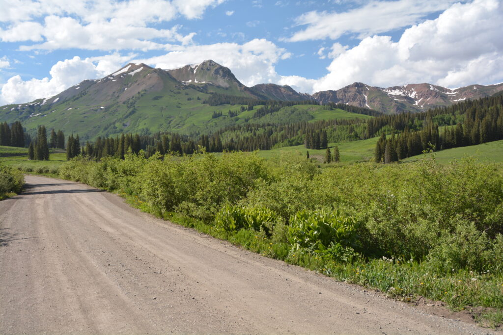
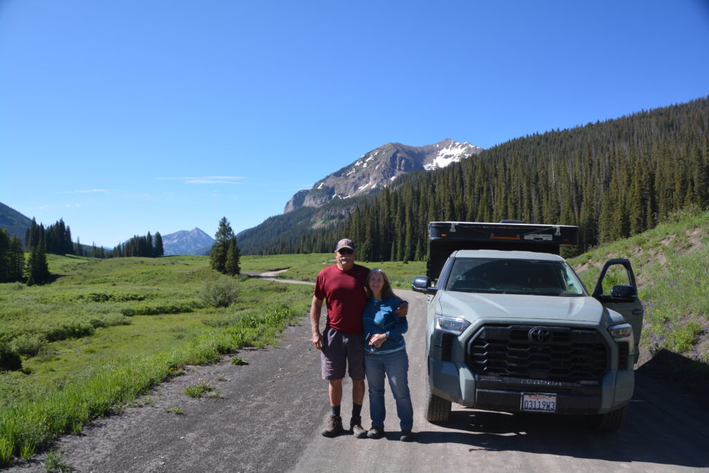
Our last camp together was up the Gothic Valley at about 9,600 feet (2,910 metres), surrounded by stunning steep mountains with green slopes at the lower levels and an artistic array of snow patches on top.
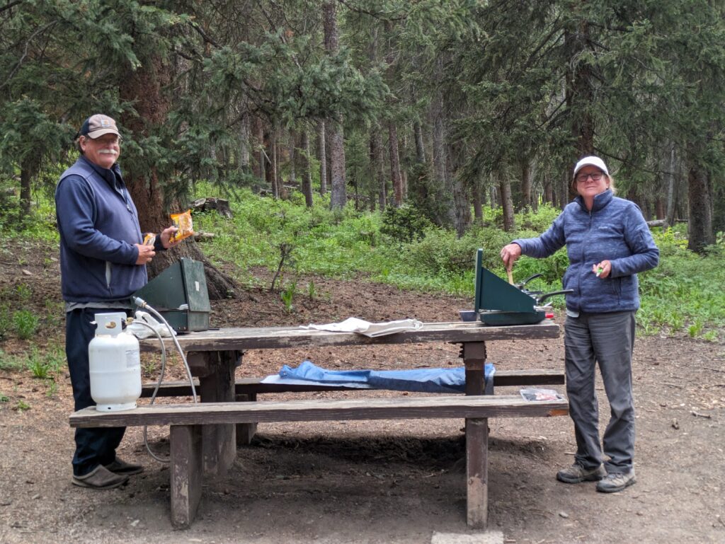
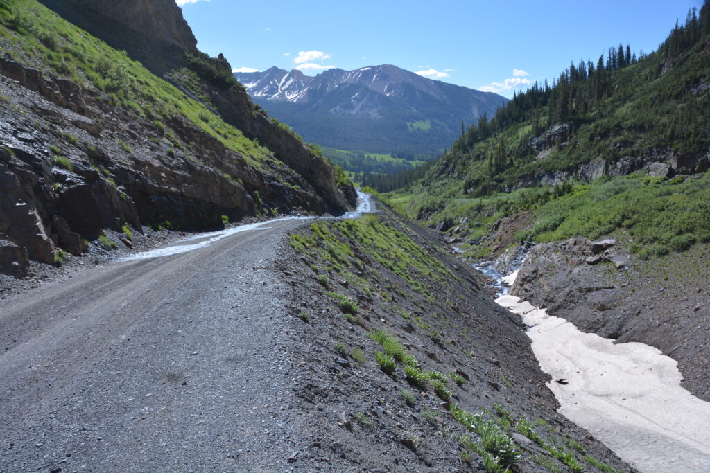
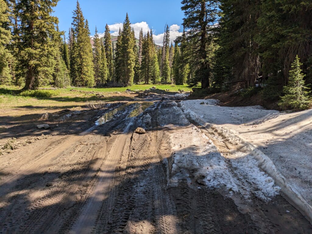
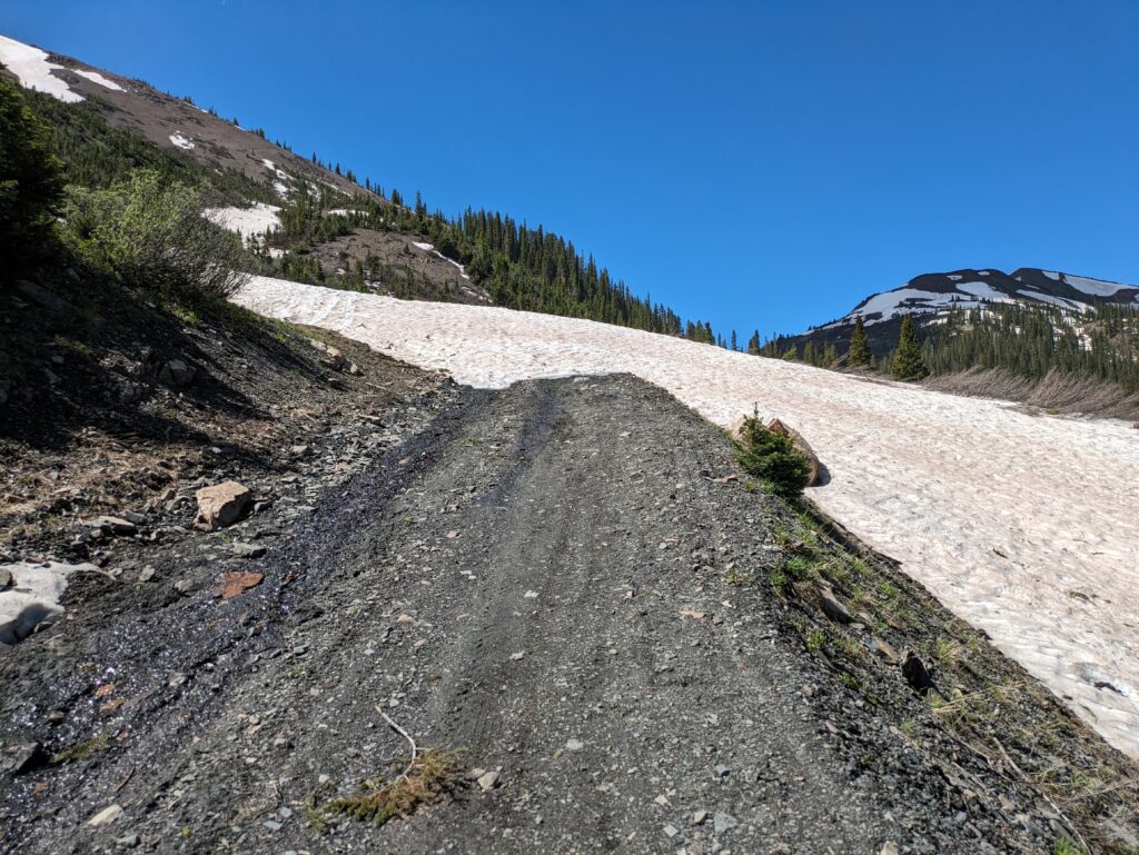
After hugs all around we bid farewell and safe travels to Kathy and John, then headed further up the valley, over the Shoufield Pass at 10,707 feet (3,245 metres), hoping to do a big high elevation loop 4WD track back to Crested Butte. Unfortunately a number of snow patches covered the track and after battling a couple of deep and sloshy sections in low gear we finally came to a monster snow patch which forced a graceful U turn.
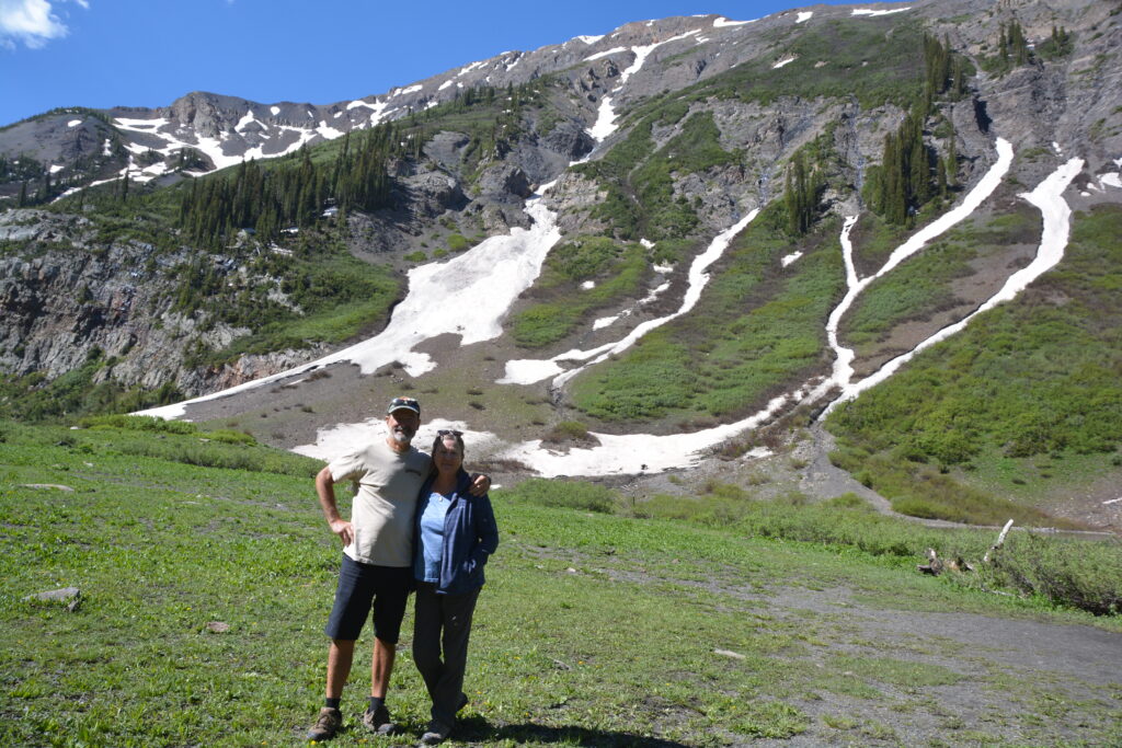
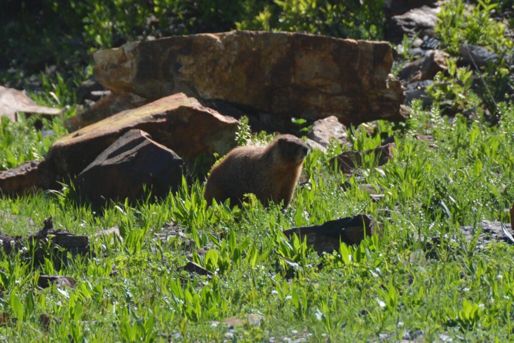
We headed back down the beautiful Gothic Valley, pausing briefly at Crested Butte before continuing south to the regional town of Gunnison (yes, named after the same John Gunnison who was the 19th century army officer and explorer that has a river, mountain, national park, county, national forest and who knows what else named after him). We camped in a proper campground, needing to do a pile of chores, before pushing onward.
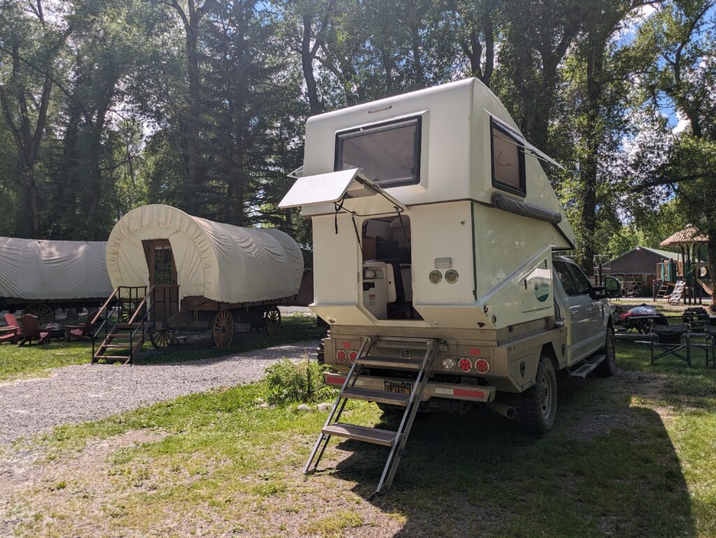
If you want to see the Rocky Mountains at their best one strategy is to connect the dots between famous ski resorts which are always nestled in amongst the highest mountains. Along this strategy, we set Tramp in the direction of the famous ski resort of Aspen after doing a morning of chores and shopping in Gunnison. But to get to Aspen, at least the scenic way, meant crossing two of the highest mountain passes in Colorado…which is saying something.
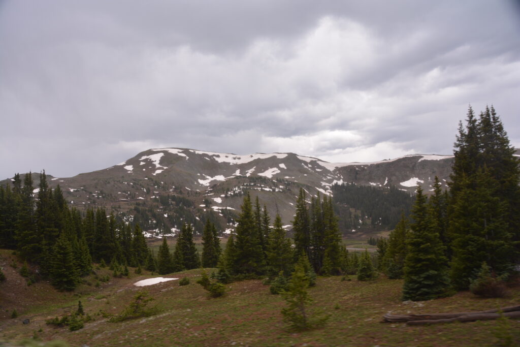
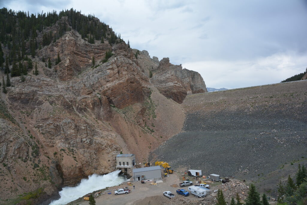
We followed the fast-flowing Taylor River north through Taylor Canyon past picturesque Taylor Reservoir, all of them named after a former US Congressman who sponsored the building of the dam in the 1930’s which formed the Taylor Dam.
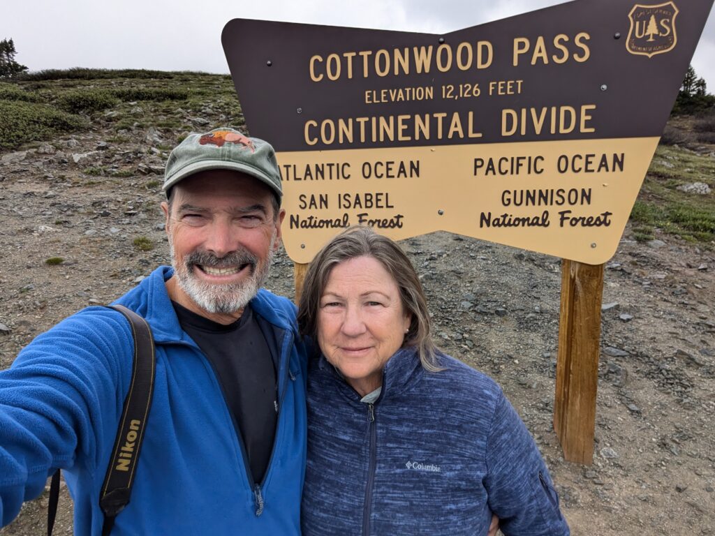
From there the road climbed up through more beautiful forest, higher and higher, more and more switchbacks, patches of snow appearing by the road, clouds and rain blocking our views, until we finally topped out at Cottonwood Pass, an extraordinary 12,126 feet (3,675 metres), the highest point we had been on this trip so far.
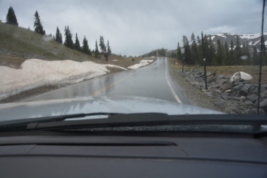
And as we looked down the other side of the pass, the road winding it’s way through the valley below, we knew there were some monster peaks just out of our view. In fact, at least a dozen peaks over 14,000 feet (4,240 metres) are nearby, many of them taking on the names of famous universities such as Mt. Yale, Mt. Harvard, Mt. Oxford and many more. If only we could see them.
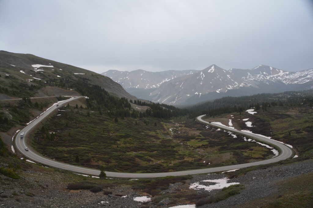
We dropped way down the other side and headed towards our second major pass on the way to Aspen. But the weather was awful, the mountains’ majesty hidden from us, and we came to a beautiful area called Twin Lakes where we decided to camp for the night in hopes of a clear morning to attack the renowned Independence Pass. As we perched for the night above the lakes, the storm clouds staying away and the breeze low, we sat outside admiring this stunning view and reading until 9pm, such is the benefit of camping near the summer solstice.
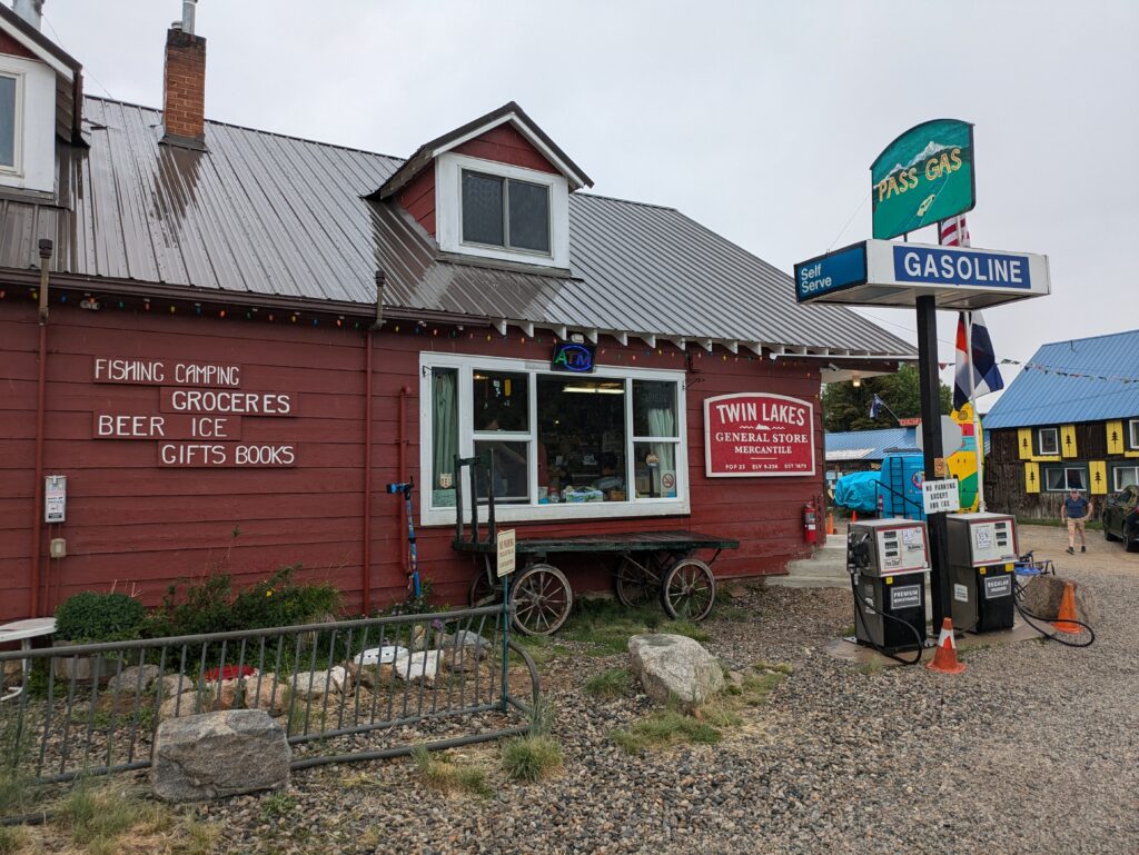
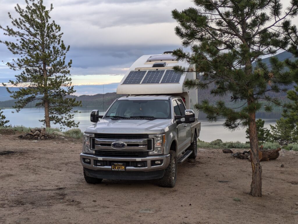
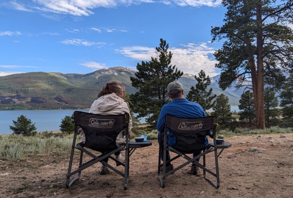
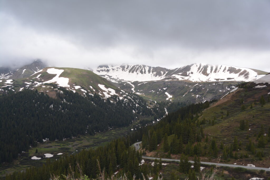
The next day our strategy of waiting for better weather paid off. After starting badly with rain down around the lakes, once we started climbing the weather cleared just enough to expose these magnificent Rockies all around us.
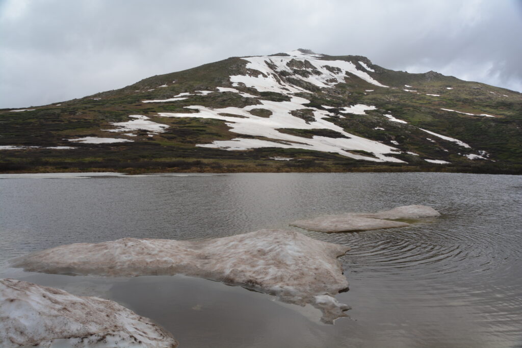
Independence Pass is the second highest paved road crossing of the Continental Divide and requires a long winding climb through numerous switchbacks, up and up, past an increasing number of snow patches until finally you hit the summit. It peaks at a chilly 12,095 feet (3,687 metres) and required some fortitude to get out and explore on this biting cold summer’s day.
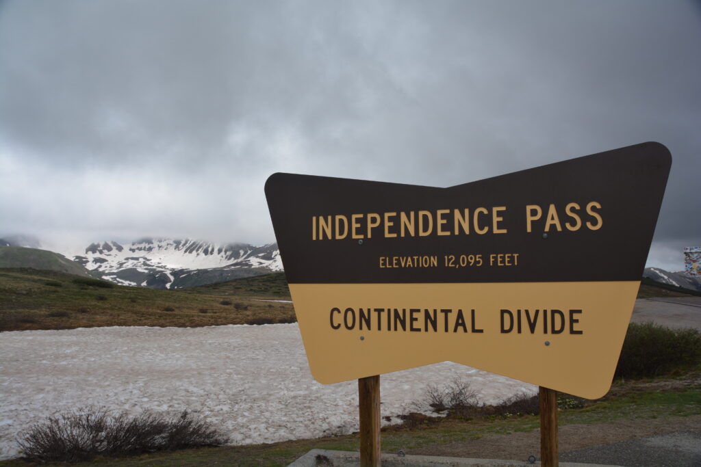
We wound our way back down the mountain and finally entered the town of Aspen, one of the most renowned ski resorts in the US. Aspen, and it’s nearby resorts of Aspen Highlands, Buttermilk and Snowmass, combined make up an extraordinary mountain for skiers and snow-seekers of all levels.
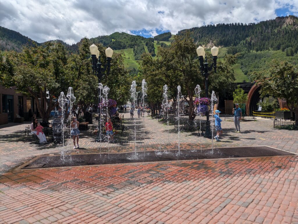
But Aspen and Snowmass in particular have a reputation for being very high-end and as we walked around the Aspen village near the base of the gondola we could tell from the beautiful buildings, colourful gardens, fancy shops and upscale restaurants that this is for those who have the bucks and don’t mind enjoying them.
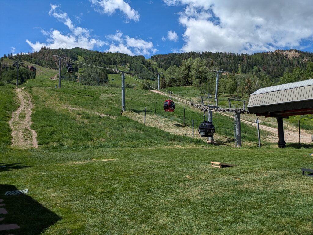
As we explored Snowmass the feeling was the same – beautiful lodges and condos, very swishy stores and a wonderful array of ski slopes stretching up the mountain. I saw a couple of people playing golf in cowboy hats and the local petrol station featured a Bitcoin ATM. It was that kind of place.
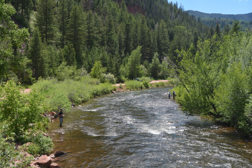
After a good look we were happy to move onward, deciding to follow a secondary road over the mountains to the historic mining town of Leadville. The road started wonderfully, following the Frying Pan River through red rock canyons, fly fishermen dotting it’s banks all the way. We came to the huge Ruedi Reservoir and followed the road as it weaved it’s way further up into the mountains.
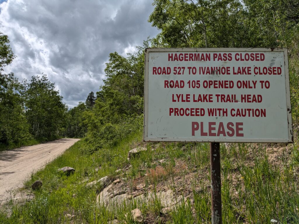
But then, a disaster, one that we should probably have seen coming. The dirt winding road over Hagerman Pass, an adventurous crossing over 11,000 feet, was still closed due to heavy snowfall at that level. Drat!
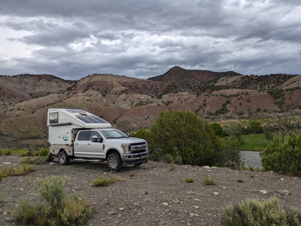
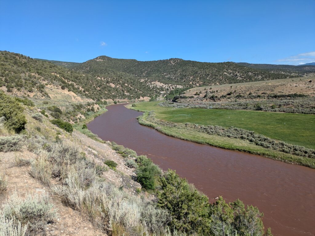
We retreated back down the valley, headed north until we hit the Colorado River and followed this famous river along Interstate 70 as both the highway, river and a train line weaved it’s way through the narrow gorge carved out by this iconic river. We camped that night high on the banks of the Colorado, beautiful mountains all around us, a fierce thunder and lightning storm attacking us just as I had flattened out Tramp by backing him onto rocks under three different tyres.
Colorado, we can’t get enough of you.

Comments
Colorado keeps giving — No Comments
HTML tags allowed in your comment: <a href="" title=""> <abbr title=""> <acronym title=""> <b> <blockquote cite=""> <cite> <code> <del datetime=""> <em> <i> <q cite=""> <s> <strike> <strong>