The underrated state
If I had any tourism statistics I would bet the state of New Mexico is near the bottom of the list for visitors. And it’s true that New Mexico does not have any Grand Canyons, Yellowstones, Empire State Buildings or Golden Gate Bridges. If you want to only hit the biggest of the highlights in the US you won’t be coming to New Mexico. But be warned, you’ll be missing some of the most beautiful wide open spaces in the world and we saw this again in the central-west stretches of this underrated state.
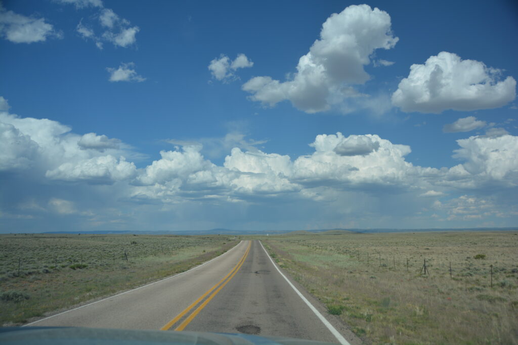
Case in point – El Malpais National Monument. Who’s heard of that place, even Americans living in the southwest, almost no one. Including us, I have to say. But El Malpais, or The Bad Country, as it was named by early settlers, is a wonderful display of stunning sandstone cliffs and dramatic ancient lava beds. And we were virtually the only ones there.
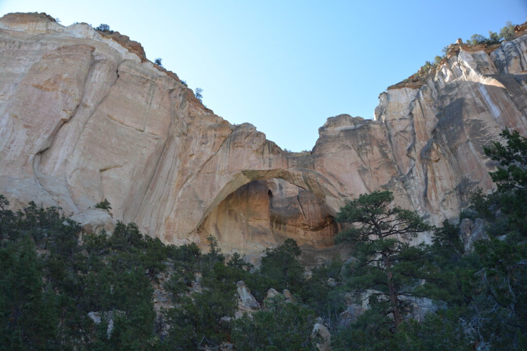
We spent the day exploring every nook and cranny of this sprawling park, enduring knee-buckling heat and hot desert winds, walking to highlights like Ventana Arch and taking in the wonderful expansive views at Sandstone Bluff Lookout. We also walked out to the El Calderon caldera, one of the main volcanos that spewed lava between 11,000 and 60,000 years ago and helped create this vast inhospitable land, and walked across rough lava beds, shredding the bottoms of our shoes and melting our determination.
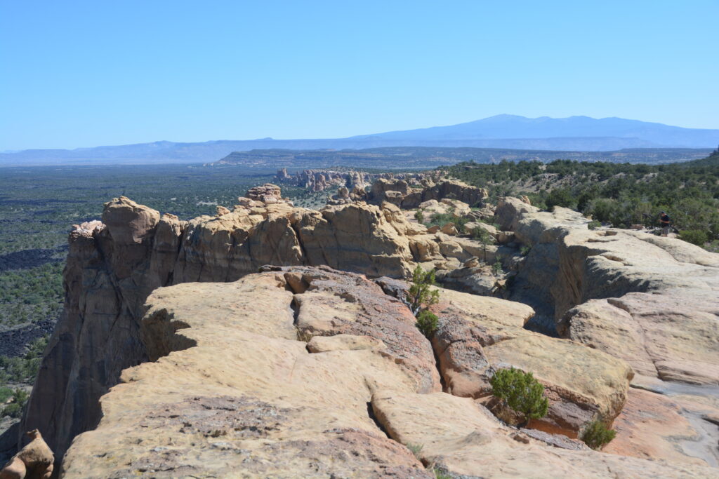
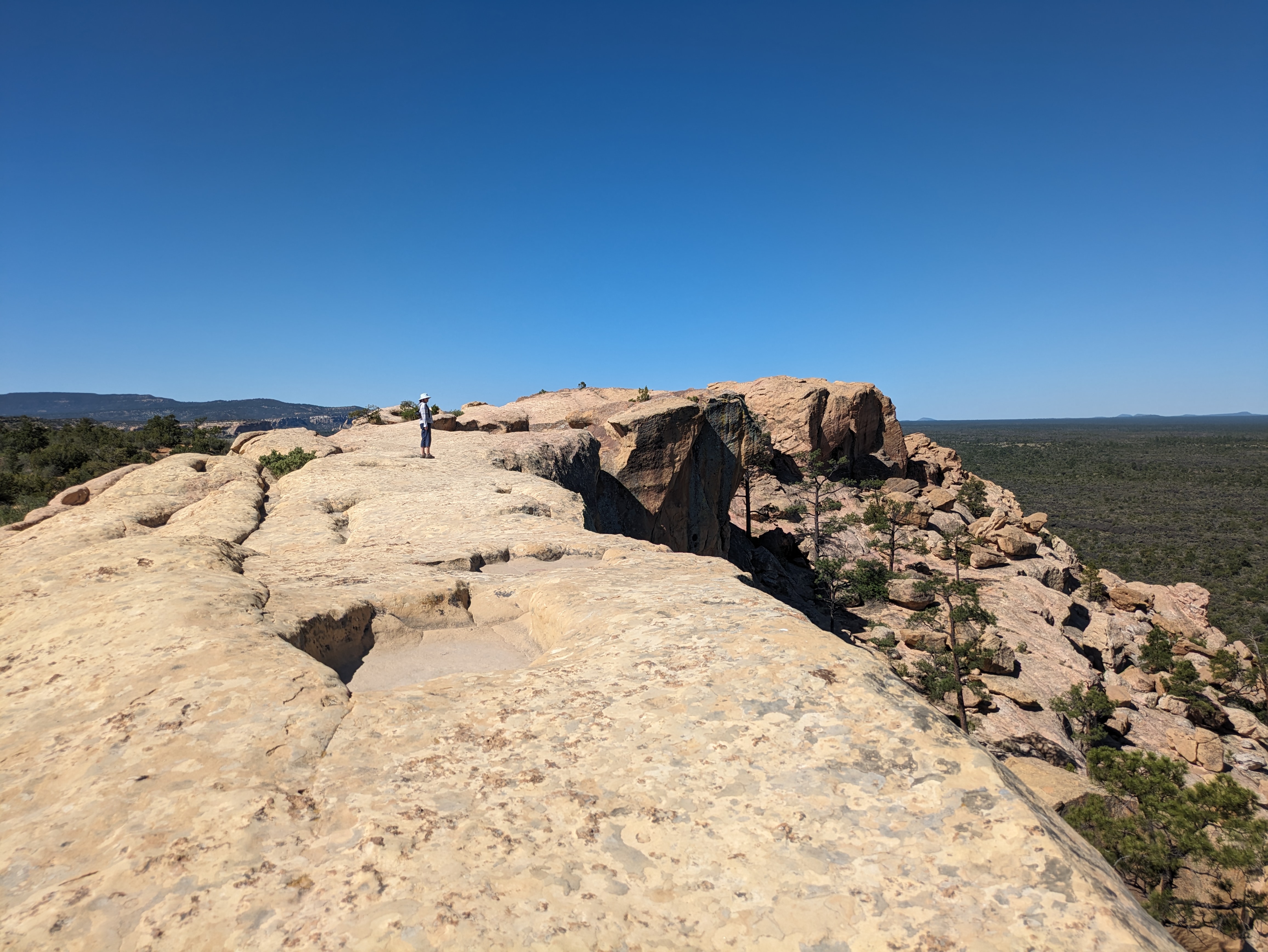
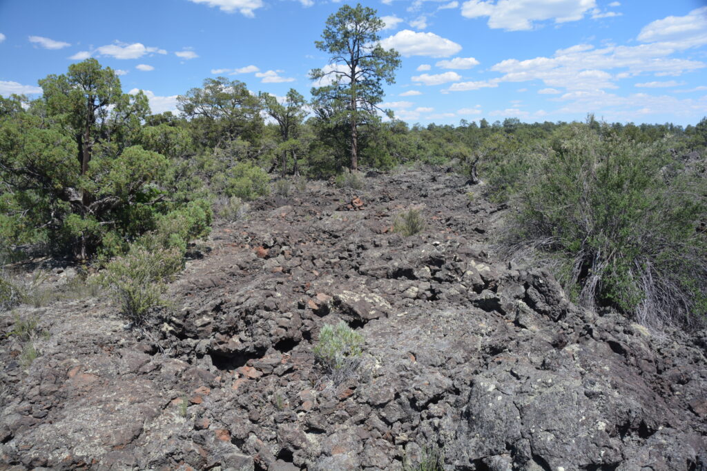
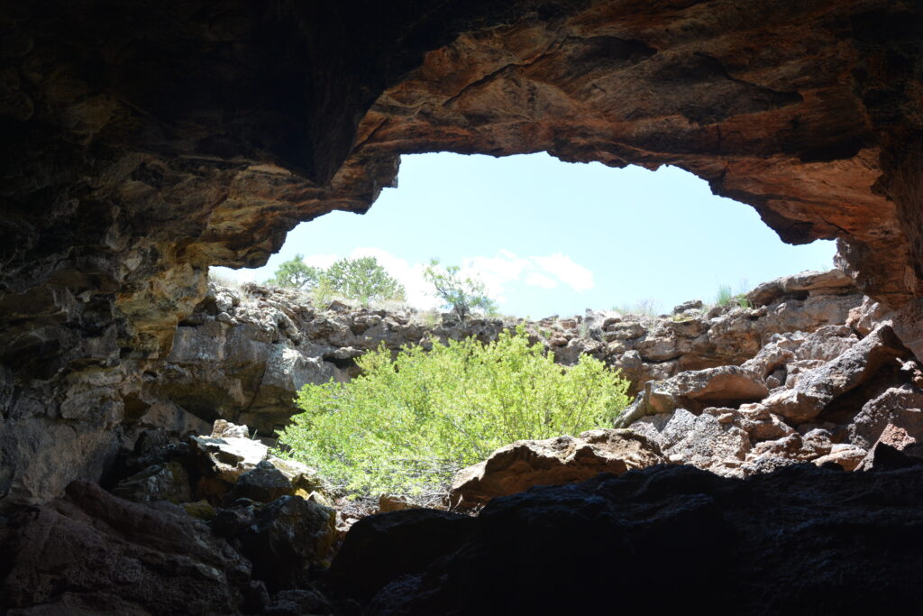
Near the end of the day we headed north, first through striking Zuni Canyon, later across the wide open plains that distinguish New Mexico, and tucked ourselves in behind a hill near the old mining community of Hospeh, far off the beaten track and with wonderful views across this high plains desert. New Mexico, where is everyone?
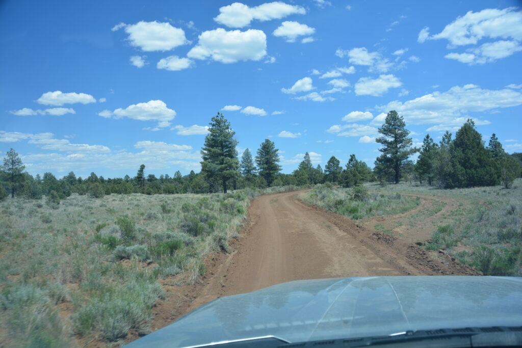
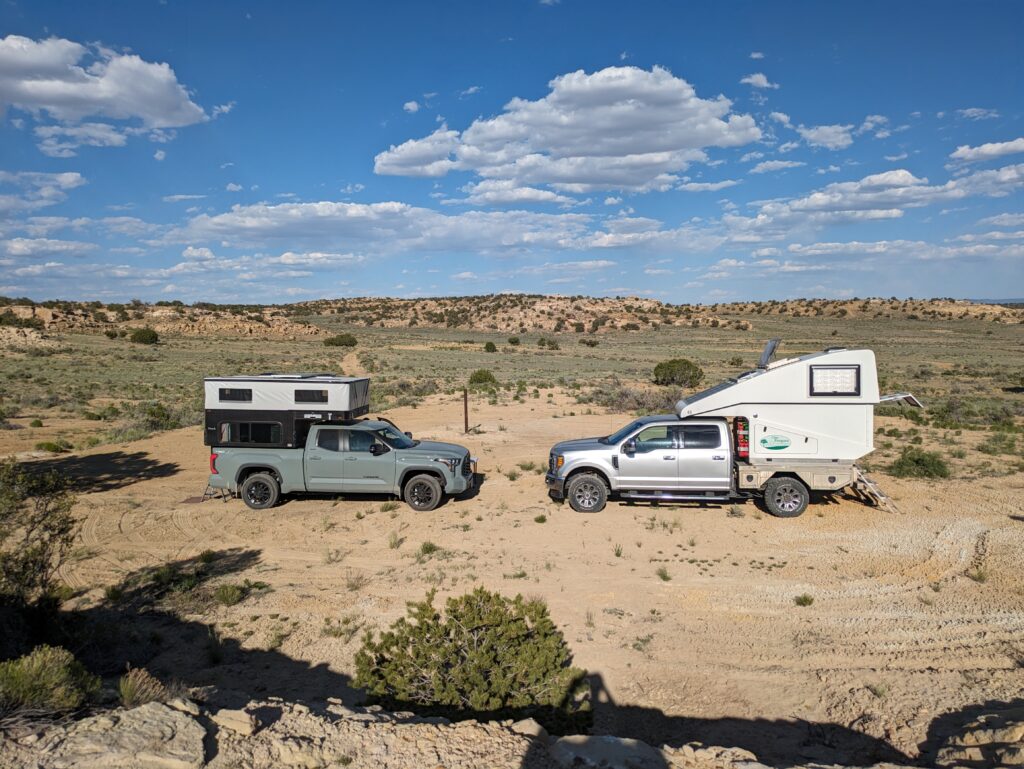
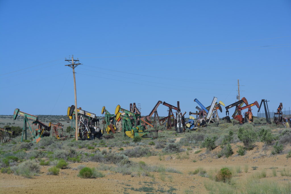
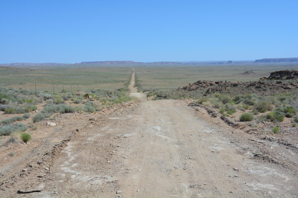
The next morning we visited what is arguably one of the state’s main tourist attractions, although the long dirt track from the south we used to get there would have deterred some visitors.
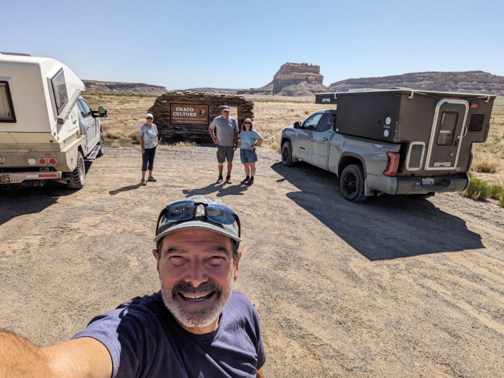
Chaco Culture National Historic Site, located in the long and dramatic Chaco Canyon, is one of the southwest’s most important historic sites. It is here that the Chaco people settled and built huge communal structures between 850 and 1150. And they did it in style!
These people, ancestors of today’s many Native American tribes, settled in this beautiful canyon, presumably when it had more water and better soil for growing crops, and built ‘great houses’ which have up to 600 rooms and cover more than three acres. The architectural genius of these buildings is absolutely staggering.
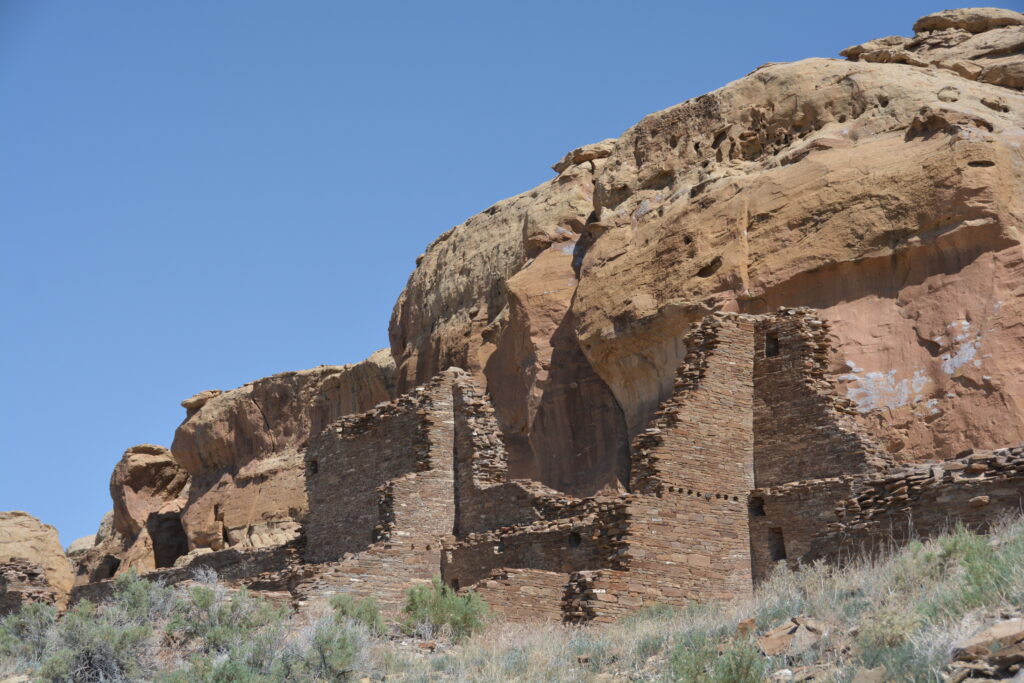
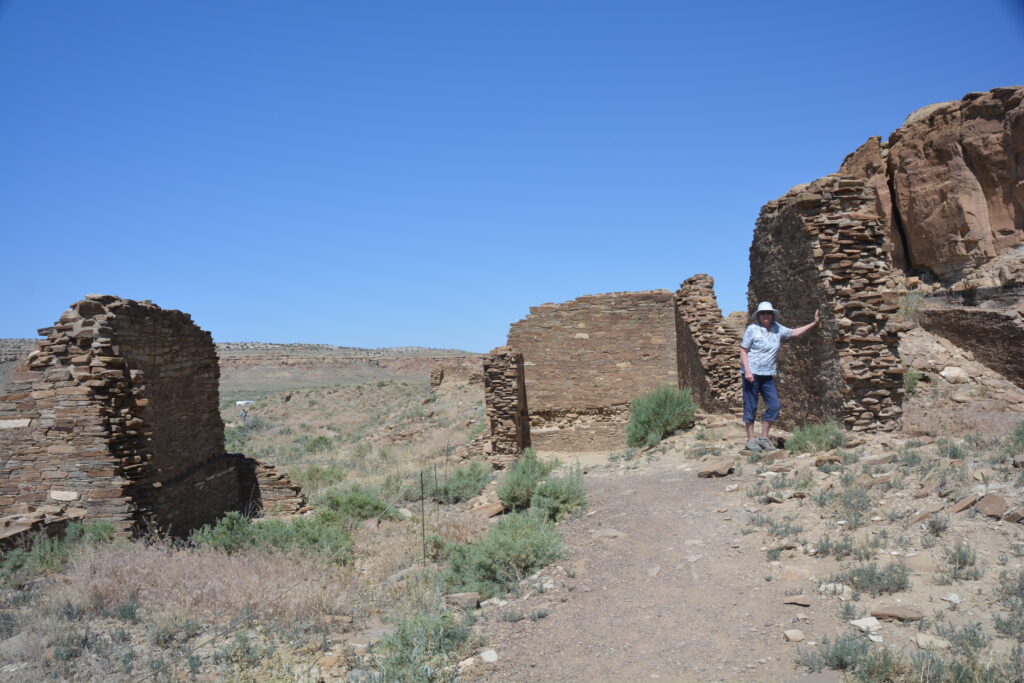
These sites, the foundations and many walls of which are still in tack today due to their thick walls and sturdy features, also sported open plazas, numerous kivas – or round ceremonial areas – storage rooms and living quarters. Some structures were up to five stories high.
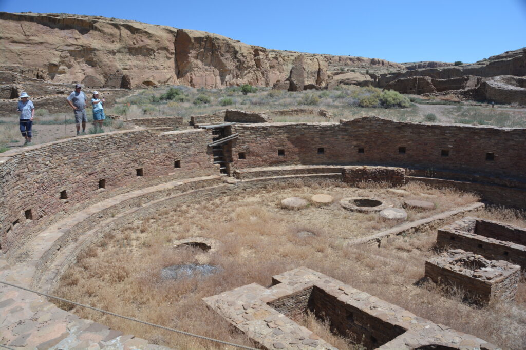
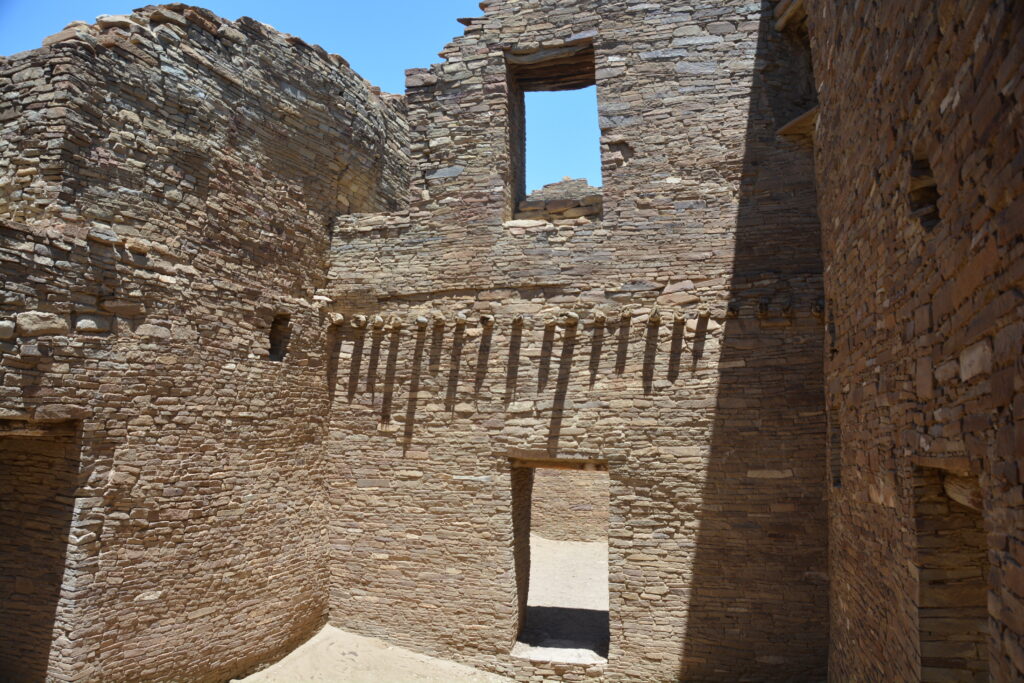
This area, which was the home to a few thousand people, was also a major trading hub for many similar communities in the area and carried significant economic and political weight in this region. They had roads, irrigation systems and carried the large wood beams needed for their buildings up to 60 miles. The Chaco people absolutely rocked.
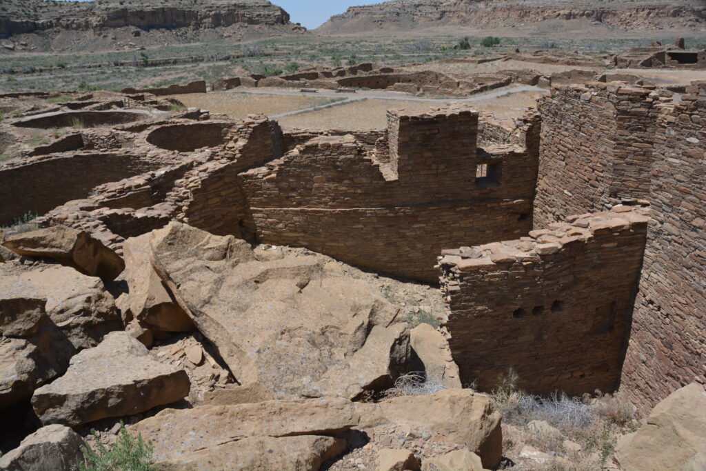
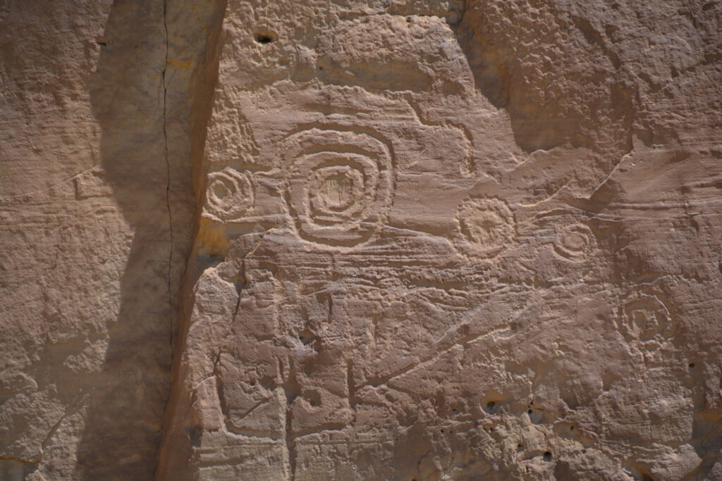
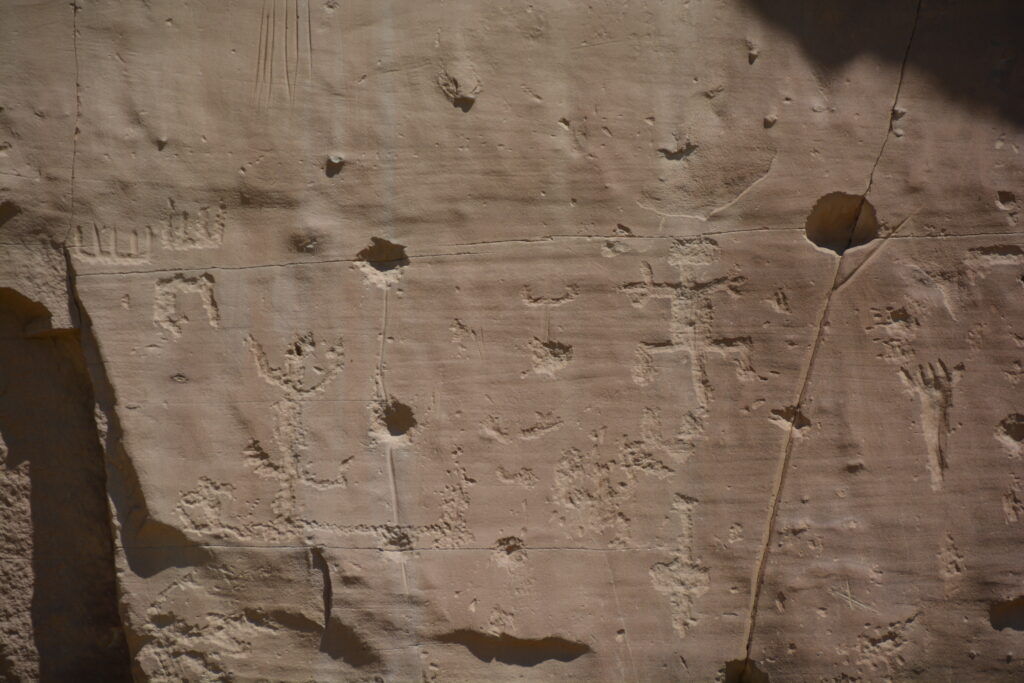
We loved this stuff, absorbing the history of these amazing people from a knowledge starting point of zero. But it came at a price – the temperature was blistering hot and one walk to two of the main great houses, plus a walk along the cliff line looking at petroglyphs, took more than an hour and absolutely wrecked us. You can’t mess with mother nature.
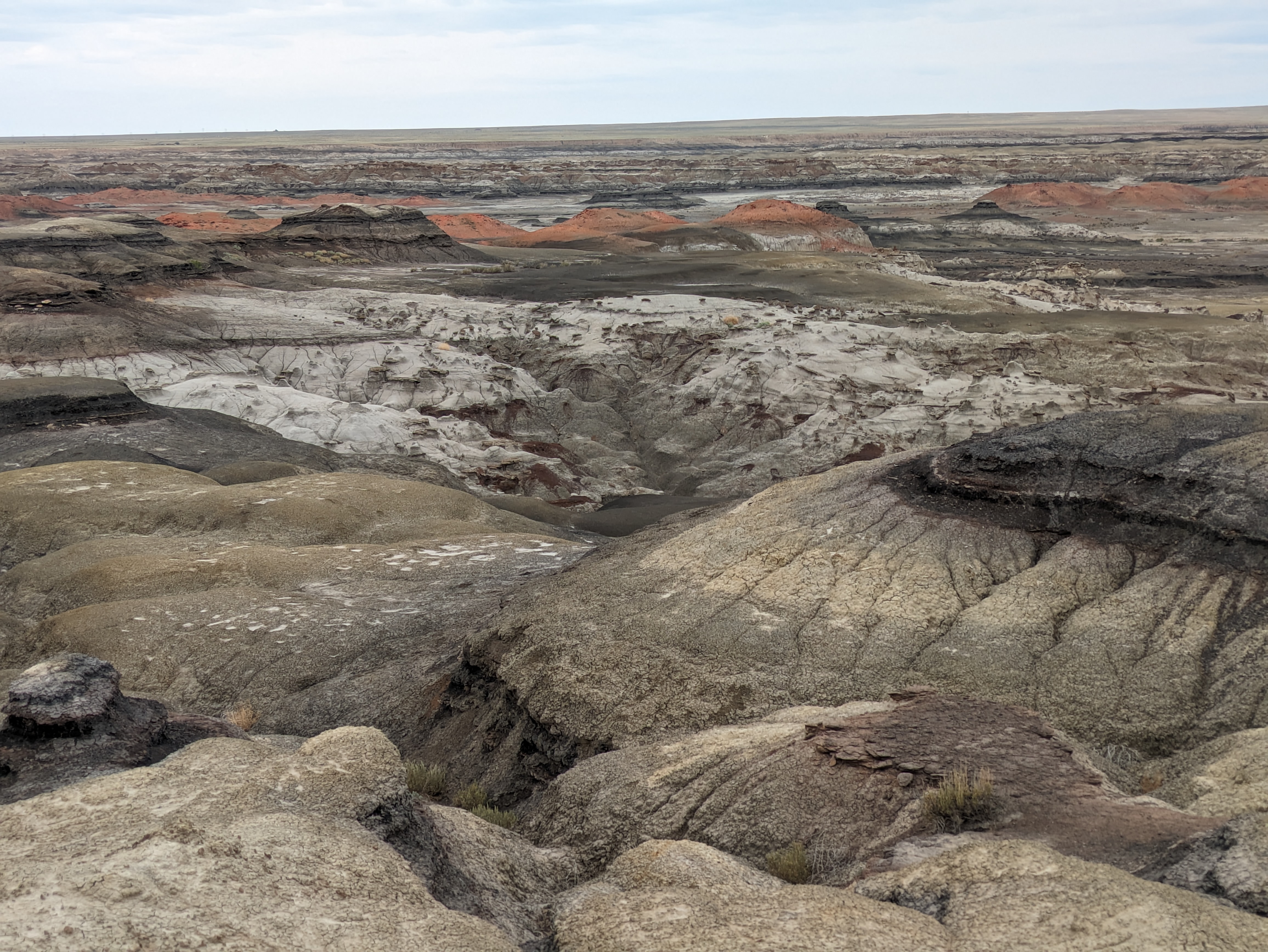
We retraced our steps across the dirt desert tracks, hit some bitumen and ended up at the Bisti Wilderness, a dry desert area often described as badlands with strange-shaped features, hoodoos, cones, towers, stripe-coloured shapes and other weird stuff. We pulled into a little gap between these dried-out hills and set up camp for the night.
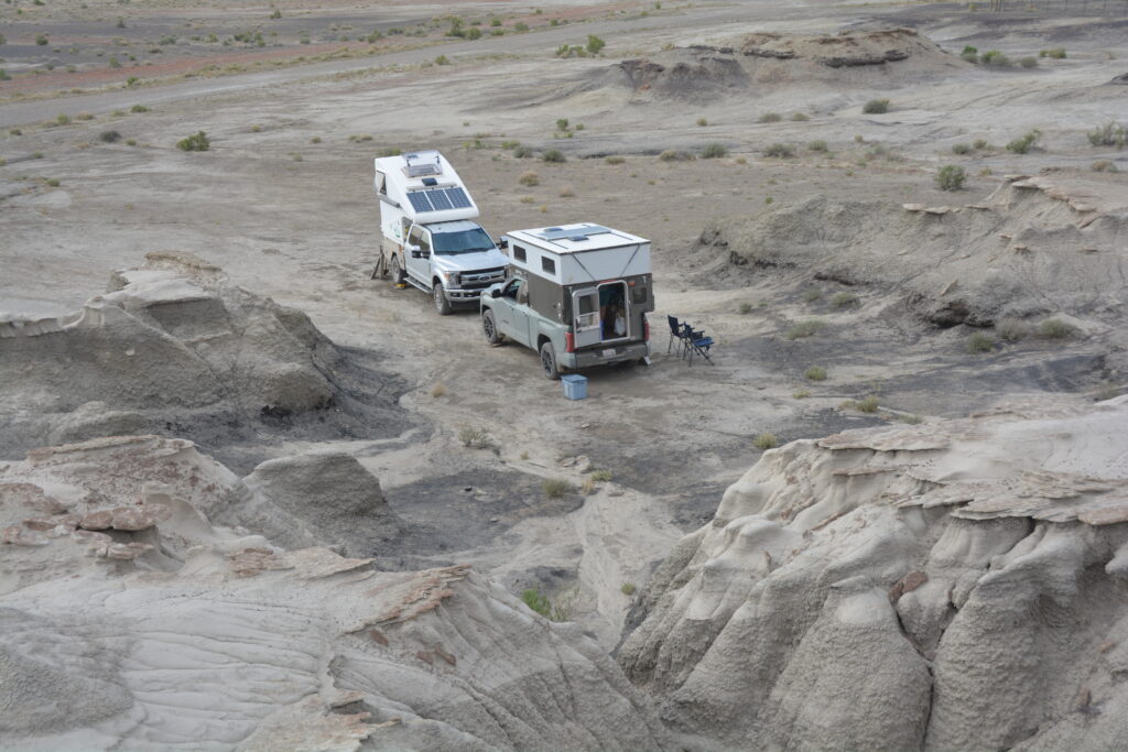
After fighting super-hot weather for almost three weeks, not easy when camping, the weather finally changed and we had a cool windy night with a bit of drizzle. Perfect conditions to explore the Bisti (pronounced Bis-tie) Wilderness by foot (because there’s no roads and in fact no trails).
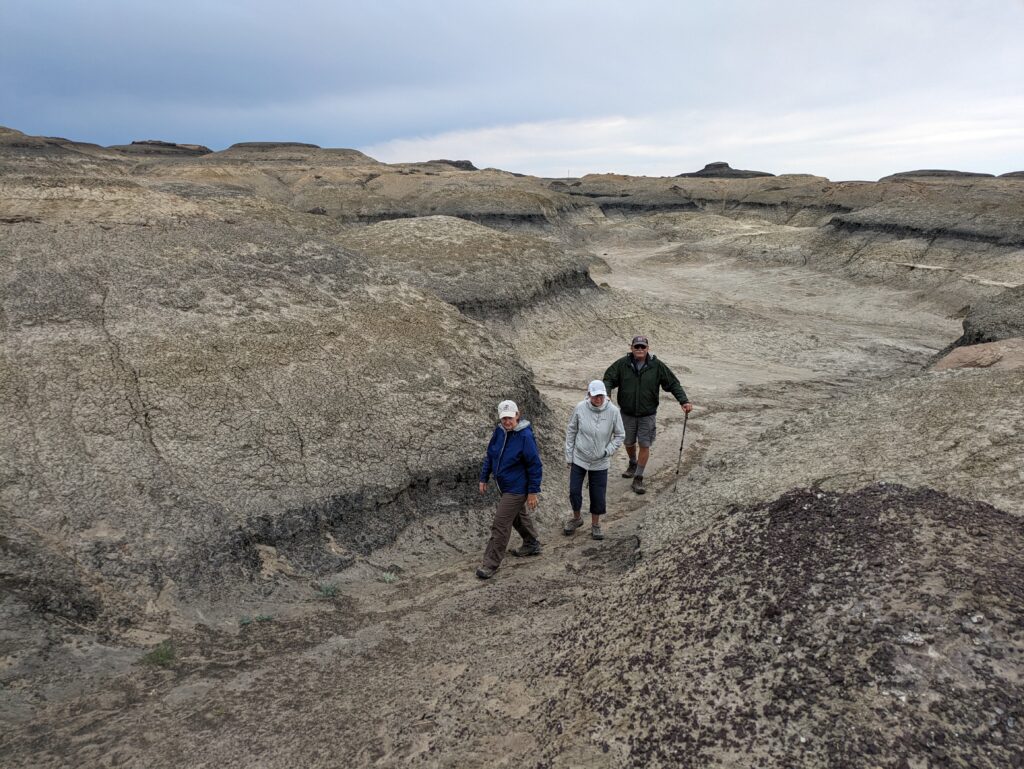
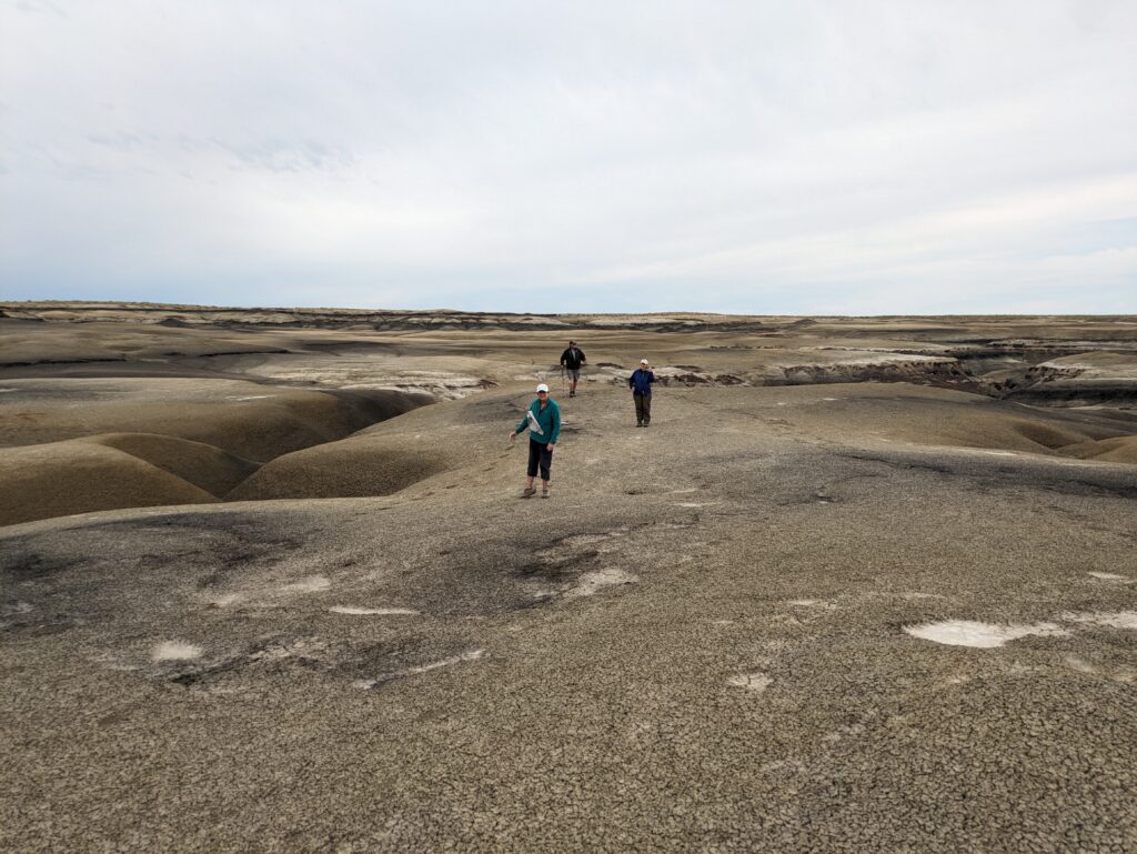
We choose a target about two miles away across these rugged badlands, picked a compass heading of East NE, and off we trudged across this beautiful but barren wasteland. We weaved our way through twisted washes, climbed up and over hills of baked mud and various minerals, found fossilised dinosaur bones and petrified trees, trudged over sand dunes and took a thousand photos as this amazing landscape revealed itself to us.
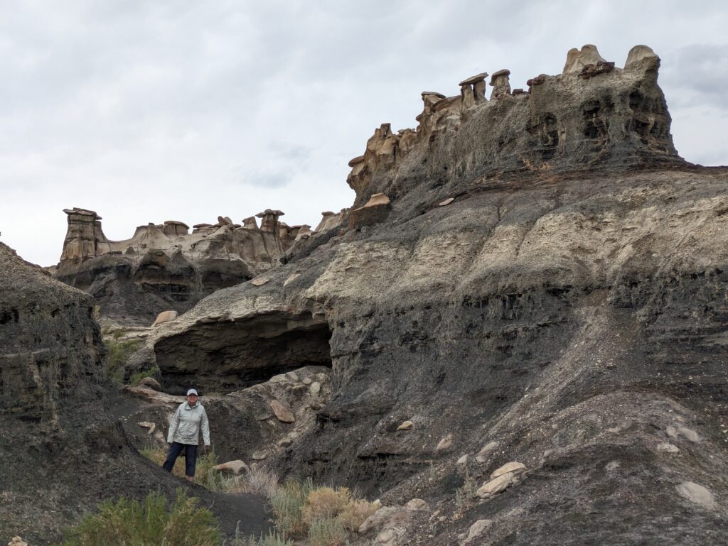
Alas, our target for the walk, the so-called egg hatchery, proved a bit too far and too difficult for us to reach, despite seeing it in the distance. But the terrain between us and them was absolutely impossible to navigate and so we called it a win and returned to our cars via a slightly different heading. What a great adventure this was and a wonderful way to see up close this amazing badlands landscape.
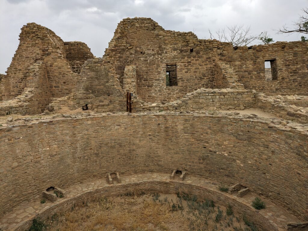
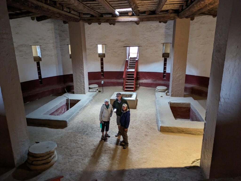
We picked up supplies in Farmington and following a recent theme, visited another ancient pueblo community. The Aztec pueblo site, no relation to the Aztecs of central Mexico, was built and maintained from 1100 to 1300, slightly later but overlapping the Chaco people. The architecture and lifestyle was very similar to what we saw at Chaco but on a smaller scale. Their giant kiva had been rebuilt to give us a much better idea of how this important religious and social building was used by these people.
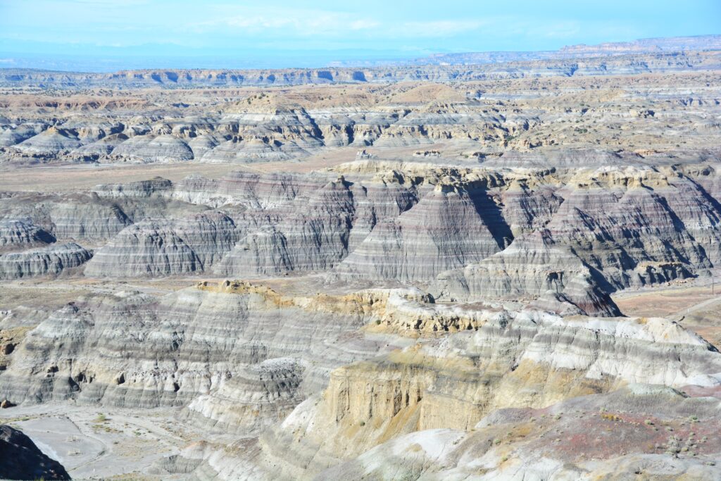
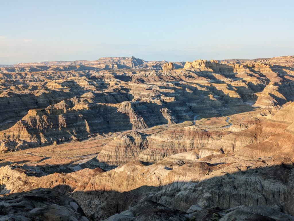
We headed southeast and found more vast badlands area, driving along it’s southern edge on a long dirt track, hoping to camp at a distant spot. Unfortunately this track had become very sticky and slippery from the recent rains and after a short while we decided to turn around and camp at a stunning picnic spot overlooking this massive badlands canyon. You can’t get too much of this stuff.
Our plan was to head southeast towards the town of Las Alamos, famous for being the birthplace of the atomic bomb, but first we needed to pass through an immense Navajo reservation and high-altitude Santa Fe National Forest.
As we drove up into the mountains, leaving the dry desert behind, entering thick forests of pine and aspens, the air got cooler and the green scenery was a welcome tonic. We climbed and climbed, Tramp doing all the hard work, finally reaching a mountain pass of almost 9,000 feet (2725 metres). We had our eyes on a walk to a mountain lake and followed a dirt road for a couple of miles to the a crowded parking lot which marked the trailhead.
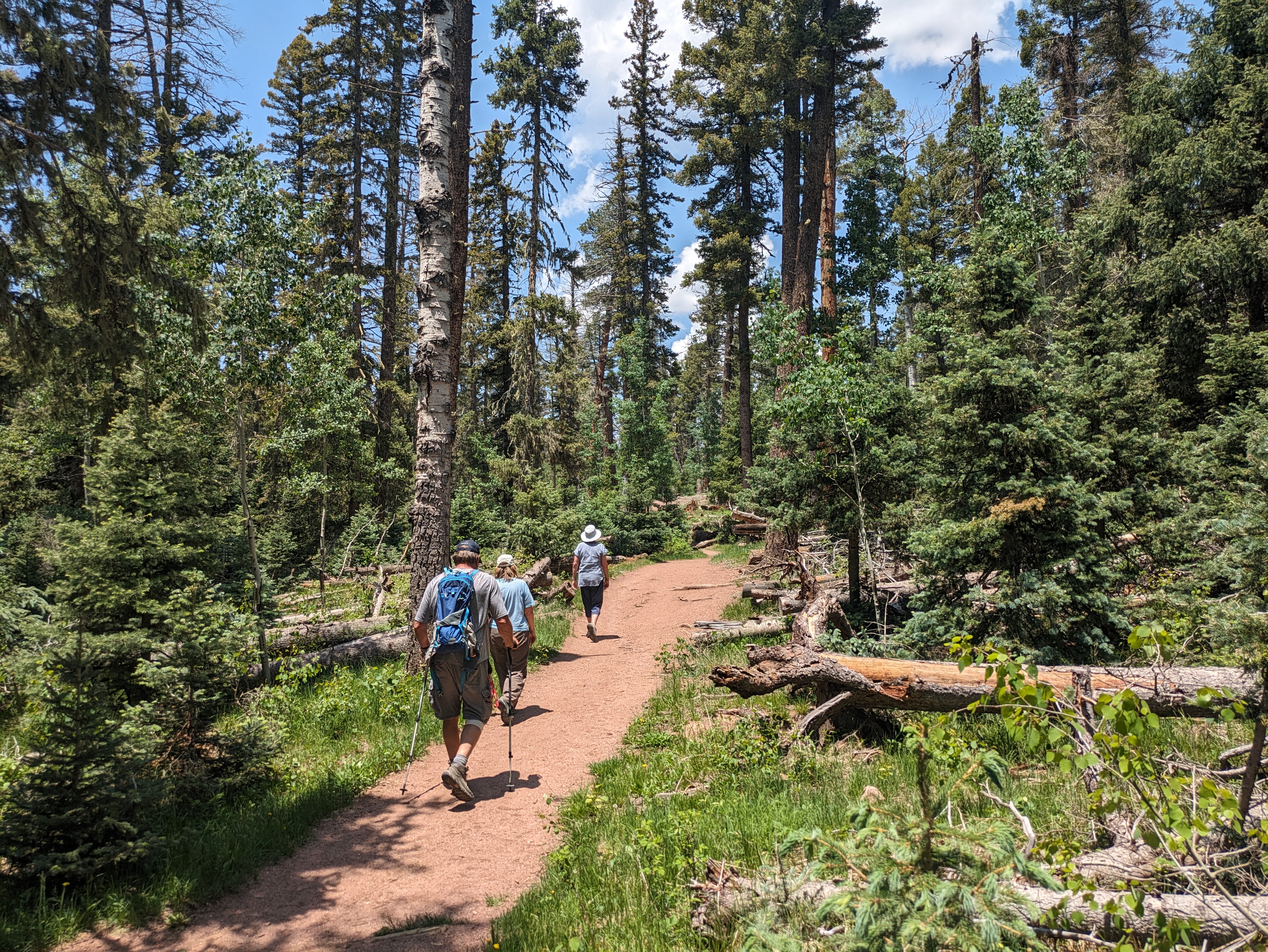
The crowds camping on the side of the road and people on the trails, some with heavy overnight packs, reminded us that not only was this Saturday but also Saturday of the American Fathers Day weekend.

This was a beautiful gentle walk through the towering pine trees, birds chirping, the occasional squirrel scampering past, the wonderful smell of the forest. And most of all, we joined the families, the young couples carrying children in backpacks, moms and dad walking with their kids, some heading off with packs for a night in the woods. It was a Father’s Day special day.
And San Gregorio Lake lived up to the hype, providing a serene spot for our picnic lunch, young families enjoying this beautiful setting not far away. Great stuff.
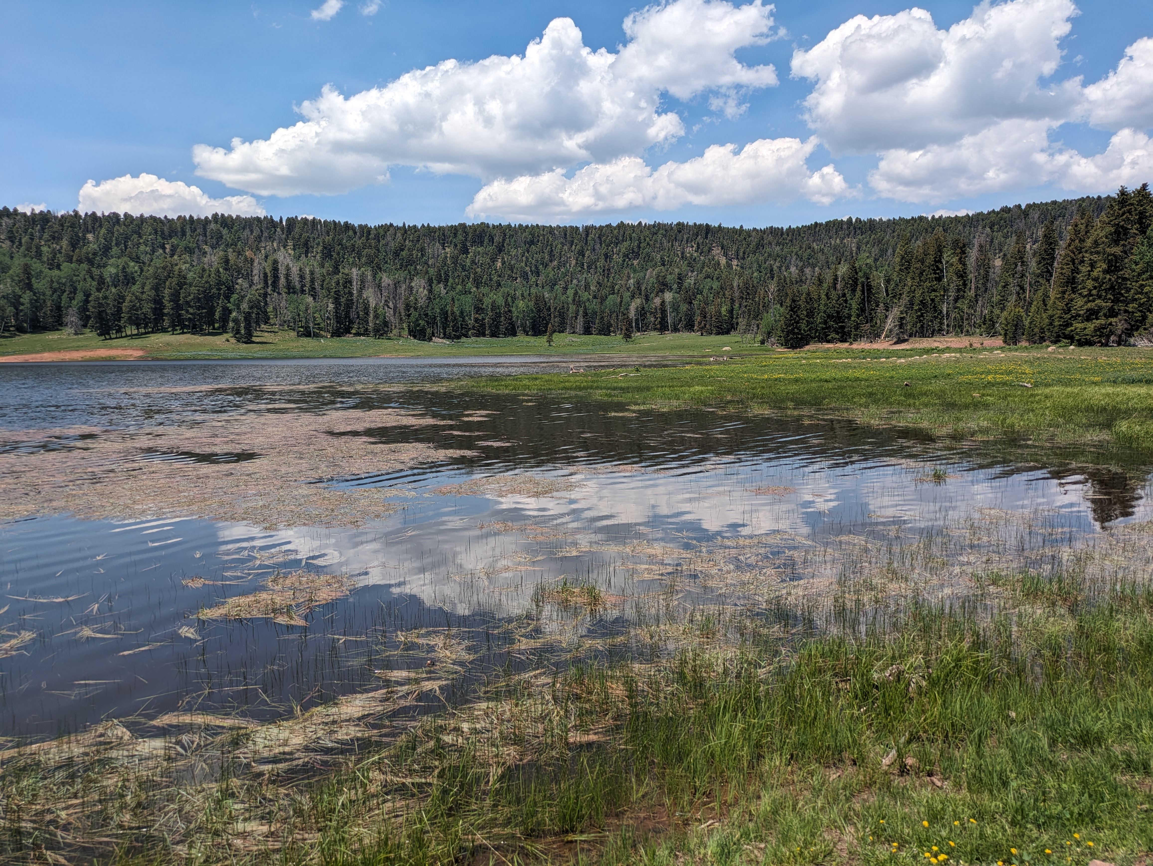
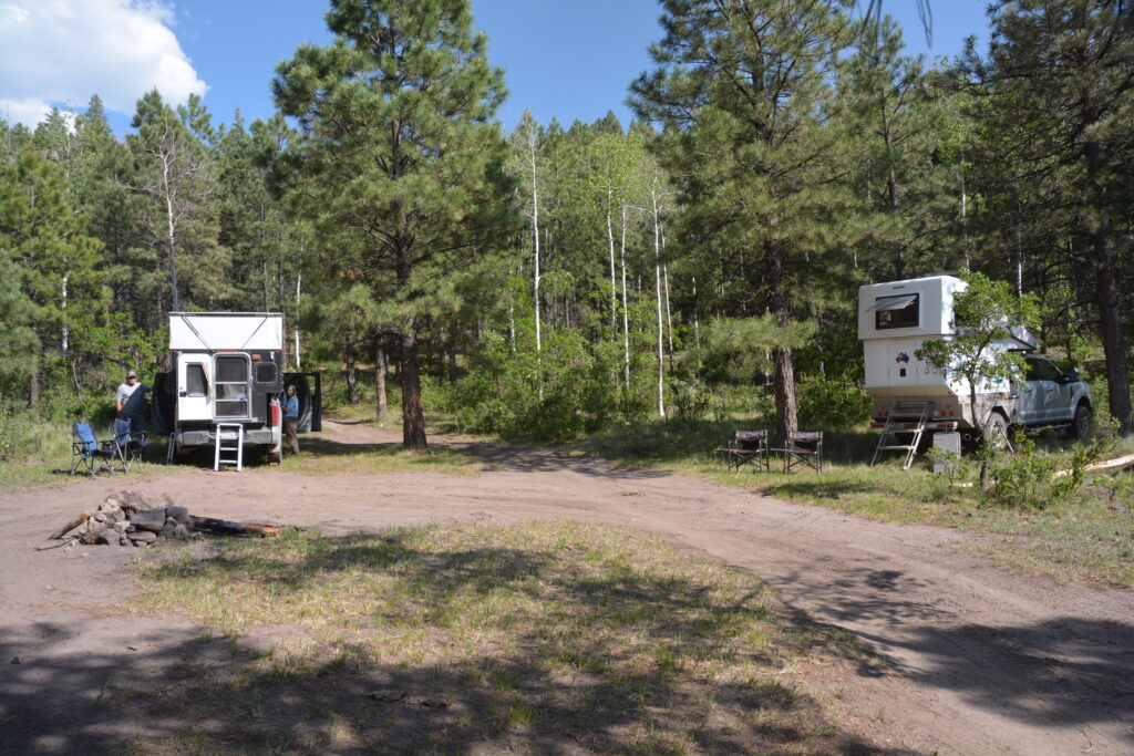
We continued along the winding mountain road, eventually camping up a side spur of a side spur, enjoying a night around the fire at 8,325 feet (2,522 metres), surrounded by swaying pines and pretty birch trees, happy Father’s Day campers in full tilt not far away. New Mexico continues to deliver.

Comments
The underrated state — No Comments
HTML tags allowed in your comment: <a href="" title=""> <abbr title=""> <acronym title=""> <b> <blockquote cite=""> <cite> <code> <del datetime=""> <em> <i> <q cite=""> <s> <strike> <strong>