Getting closer…
Our Follow the Sun journey was almost over and we were slowly inching our way to our start/finish line at my mother’s house in California. And as a special treat we’ll be there in time for Thanksgiving – the biggest family event in America. Our trip across the States over the last month has had great purpose and intent, exploring as many new places on the way as possible. Along the way we ended up spending four nights in Wyoming – and it could have been four weeks the place was that good.
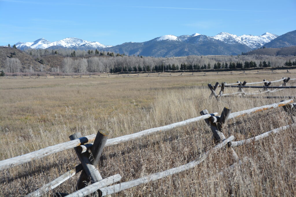
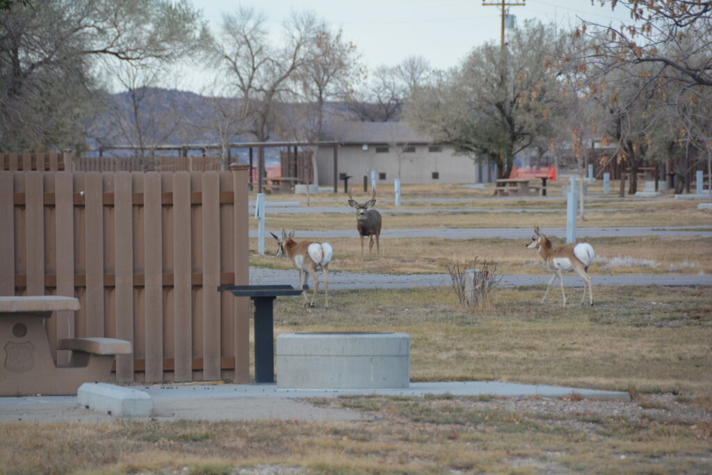
That morning we had left our beaut camp on the banks of the Salt River and had plans to do another of these official Wyoming Scenic Backway drives through some of their more remote and beautiful countryside. The drive proved worthy of it’s title as we left civilisation behind and headed up into ranching country on BLM (Bureau of Land Management – basically, land the government owns and leases to ranchers) land.
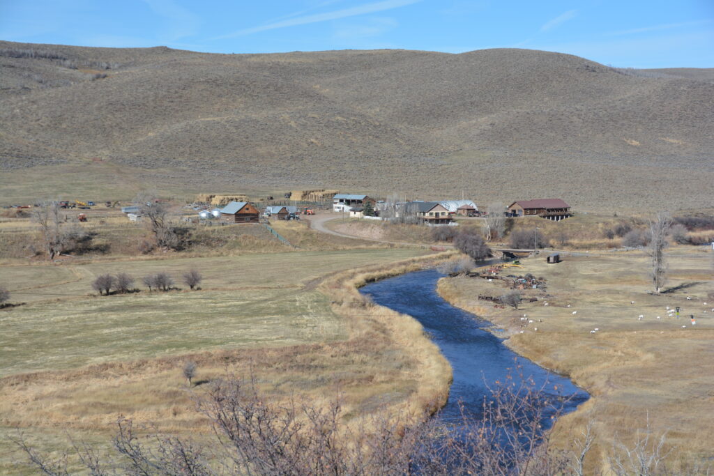
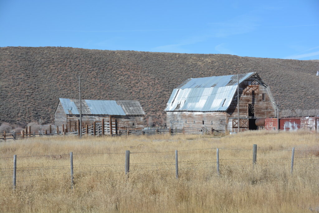
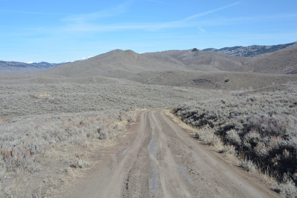
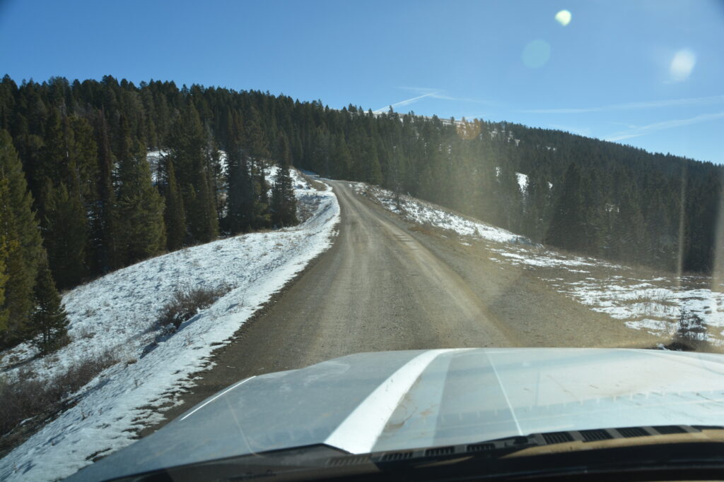
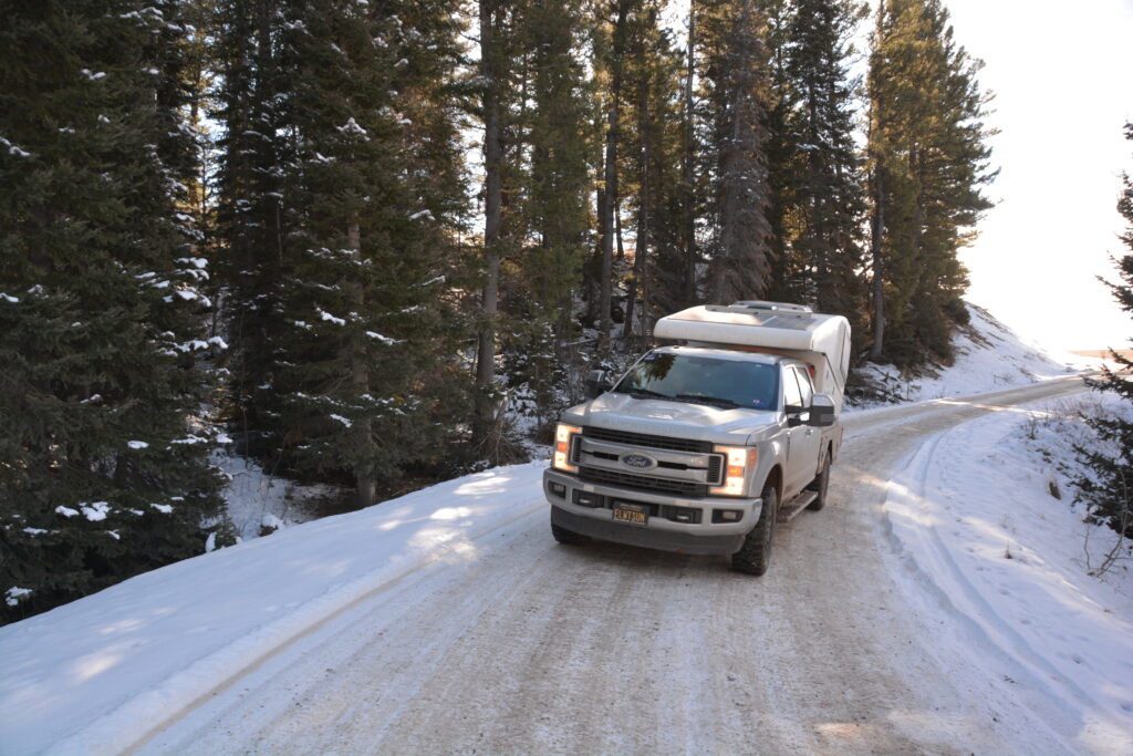
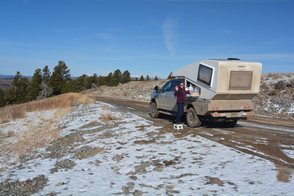
In fact the scenery was so good we missed our obscure turn and ventured further up one valley than intended. We eventually found the right track and followed it through narrow canyons up above the snow line with expansive views of Wyoming all around us. But the road kept going up, the track had more and more snow and ice and we knew that four tonne Tramp performs poorly in slippery conditions. We had lunch at a bend in the road at 8,530 feet (2,600 metres) and then retreated back to civilisation, exploring an elaborate beaver colony along the way.
Beavers are amazing critters and we found a large colony of them by the side of our track.


We set our sights for the night at Flaming Gorge National Recreation Area (NRA), a deep gorge carved out by the mighty Green River and exposing beautiful striped colours and strata of rocks on the water’s cliff line. It was a fabulous place to spend the night, the water flat and still, not another person within miles, another perfect 10. Wyoming has really spoiled us.
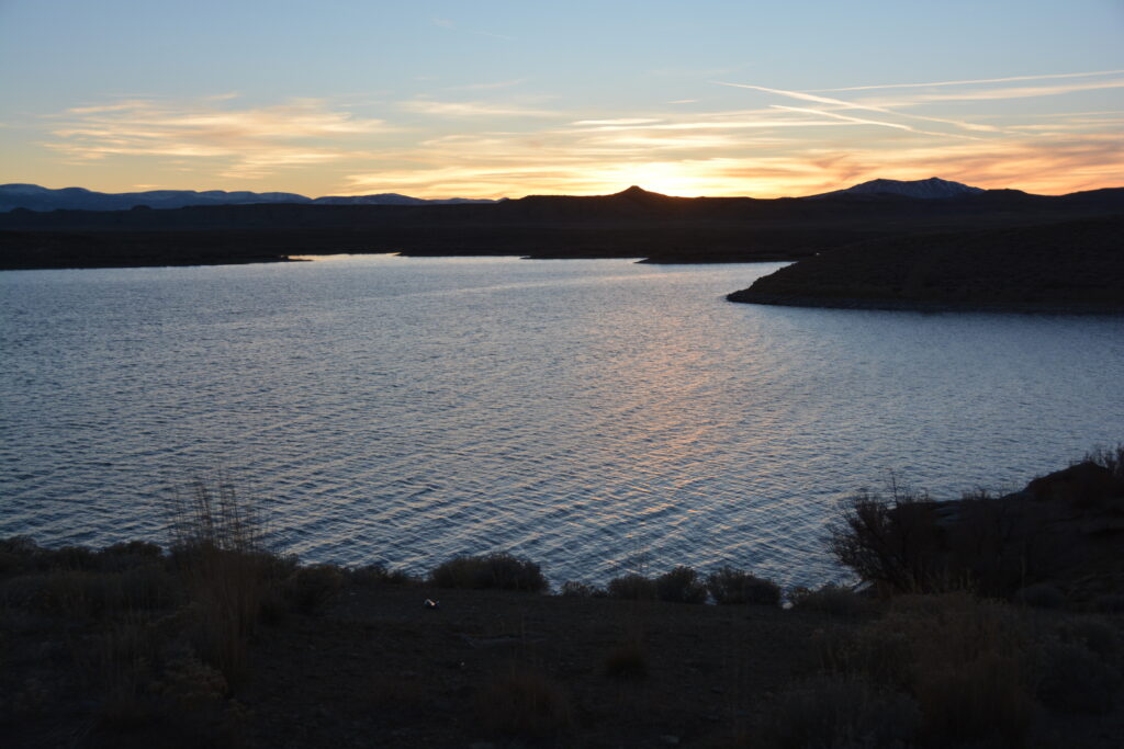
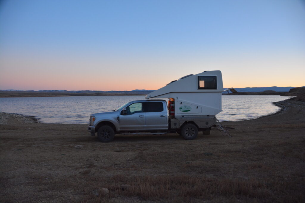
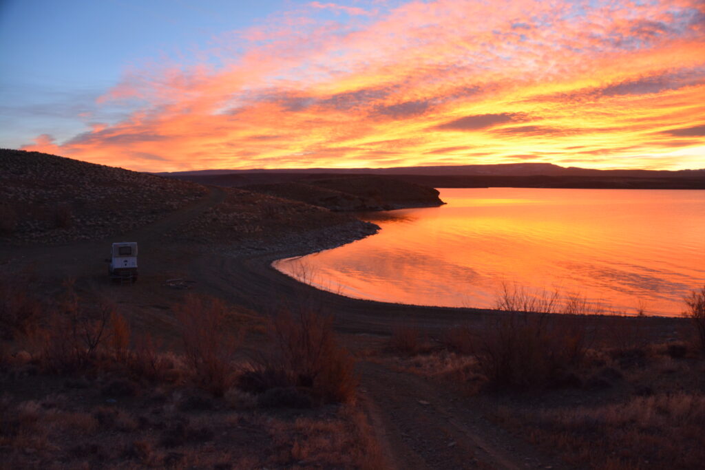
The dawn over the water the next morning was nothing short of stunning. Flaming Gorge NRA protects and promotes this large water playground after the Flaming Gorge Dam was built in the 1960’s and flooded this beautiful canyon. Today people come from long distances with their boats and various water toys, and set up camp on the hundreds of little coves, flat areas, beaches and headlands to fish, swim, laze about and enjoy this beautiful setting. That is, in the summer. At this time of year we had the place all to ourselves.
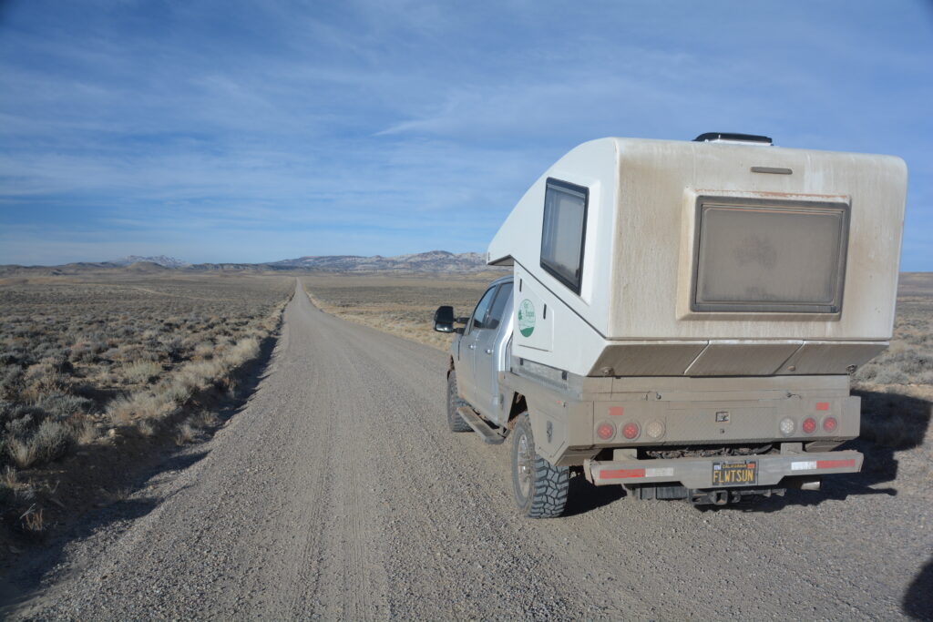
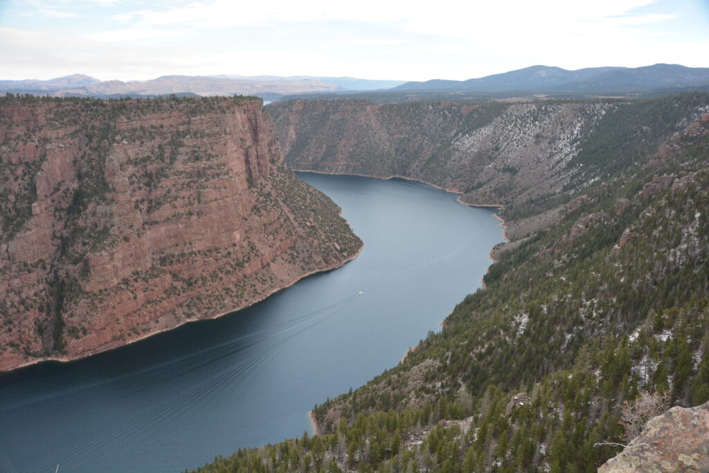
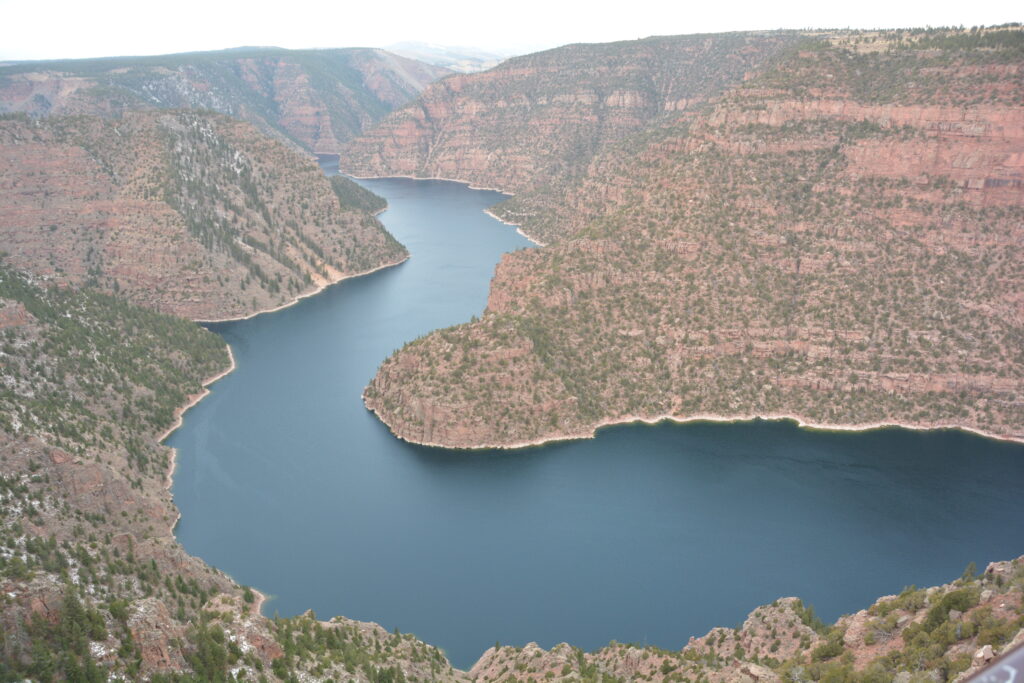
We explored a few more of the little coves and bays before rounding the waterway to the south, crossing into the state of Utah, a state known for it’s national parks and strong Mormon community, and heading up the mountains on the eastern side of the dam. The views of the flaming gorge – the red rock canyon walls that mark a large part of the water’s boundary – and the water below were just fabulous. We continued onward, pulling in to explore Red Canyon, another section of the Green River’s magical carving in these steep and deep red walls.
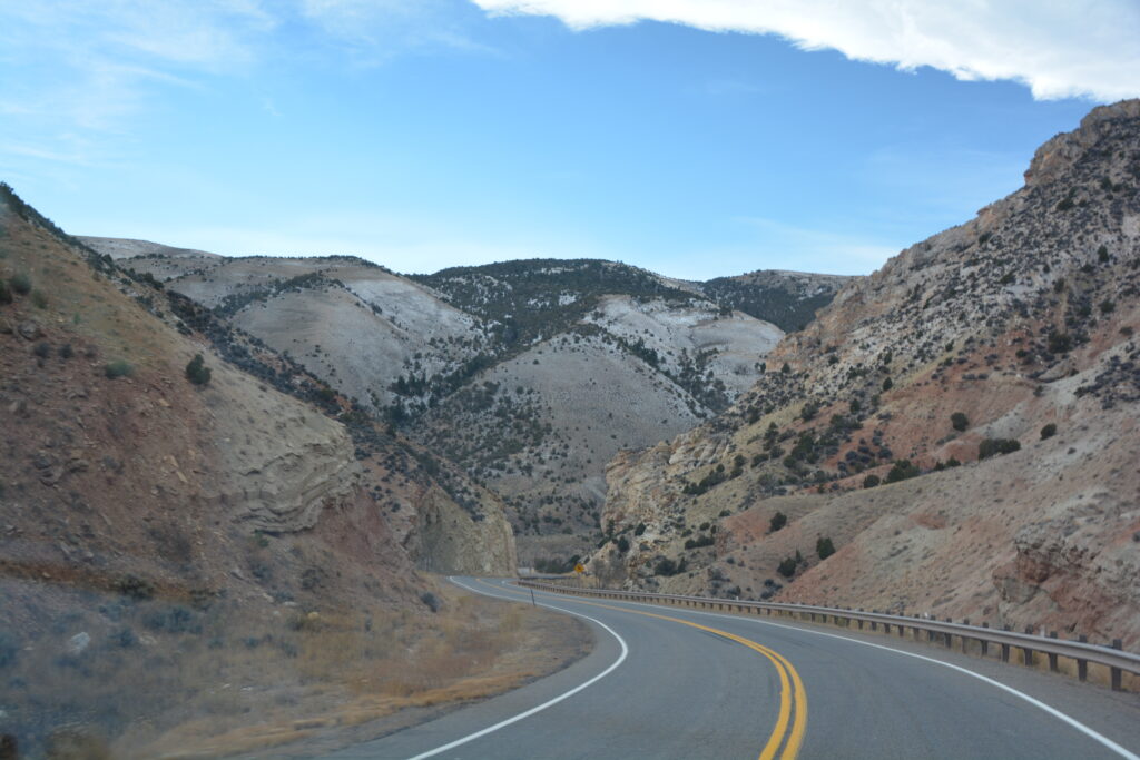
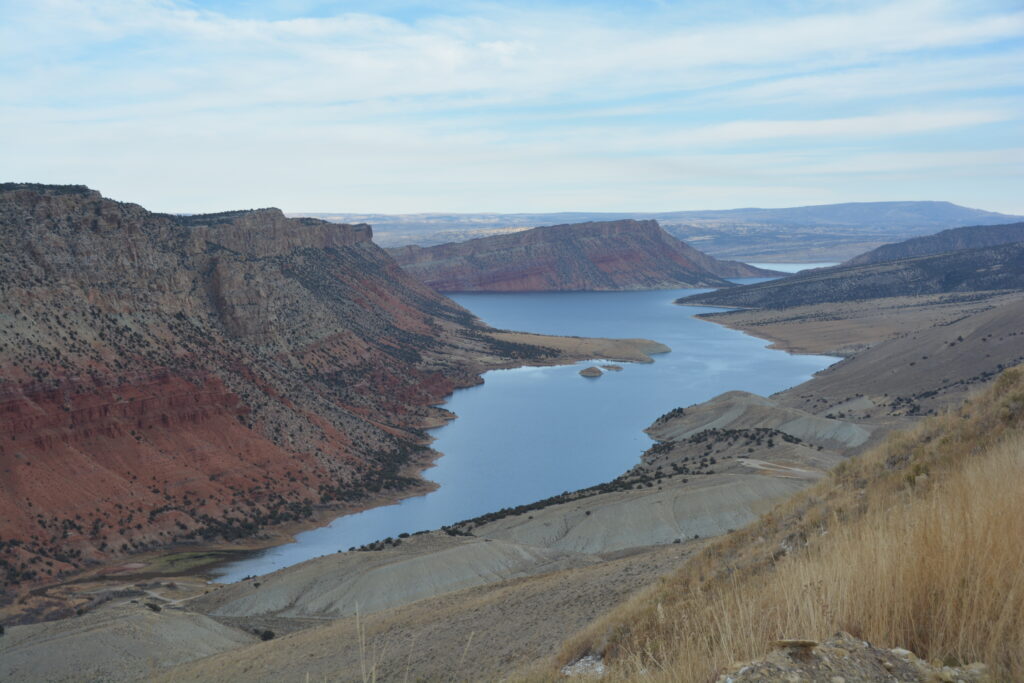
We finally drug ourselves away from Flaming Gorge, absolutely overwhelmed by it’s wonderous beauty and trying to figure out why this place doesn’t have a higher profile in the list of America’s top-rated outdoor playgrounds. Really great stuff.
We stopped for supplies in the town of Vernal and then drove through the impressive Indian Canyon and over the 9,114 foot (2,780 metres) pass before dropping down into the curiously named town of Helper where we splurged on an RV park so we could have showers and WIFI. It had been a while for both.
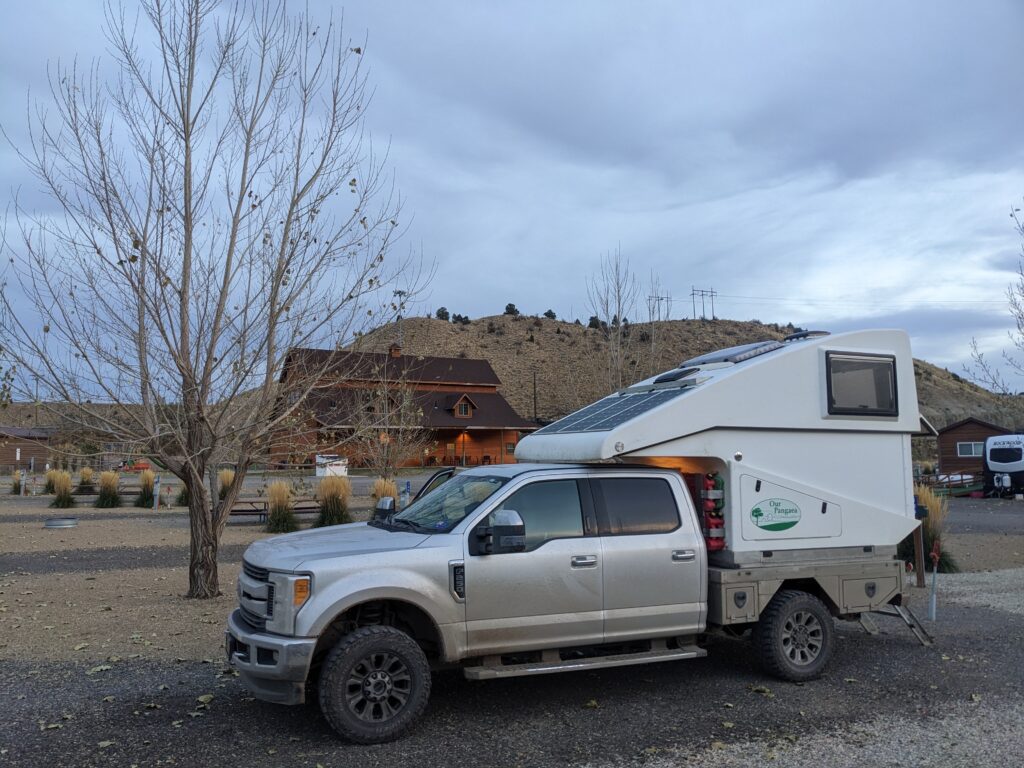
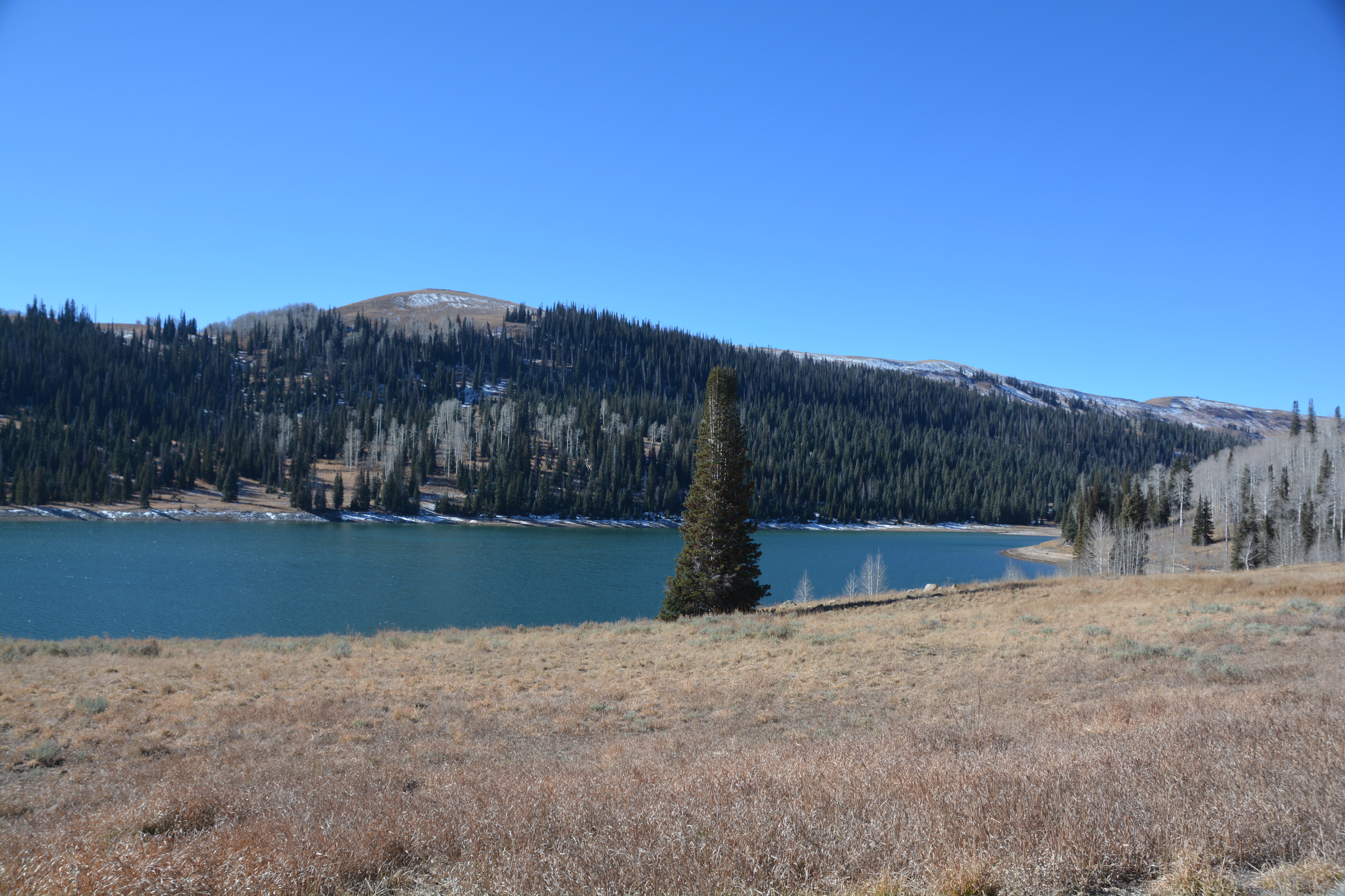
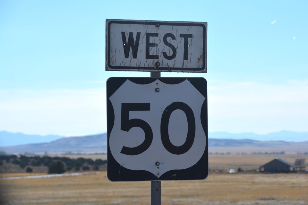
Having been helped in Helper we had to make tracks as Tramp had an important appointment in California in less than three days’ time. We first had to negotiate more fun rural roads in central Utah, including a wonderful drive over a 9,655 foot (2,950 metres) pass complete with Alpine lakes, local ski runs and endless views on the road from Huntington to Fairview. From there it was down to the town of Salina where we joined the legendary Highway 50 for our long and lonely drive across the rest of Utah and all of Nevada.
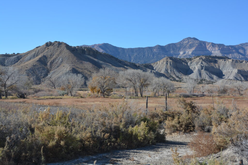
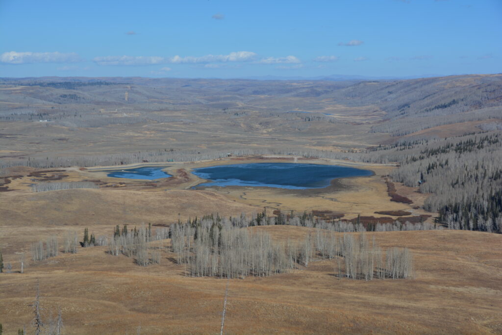
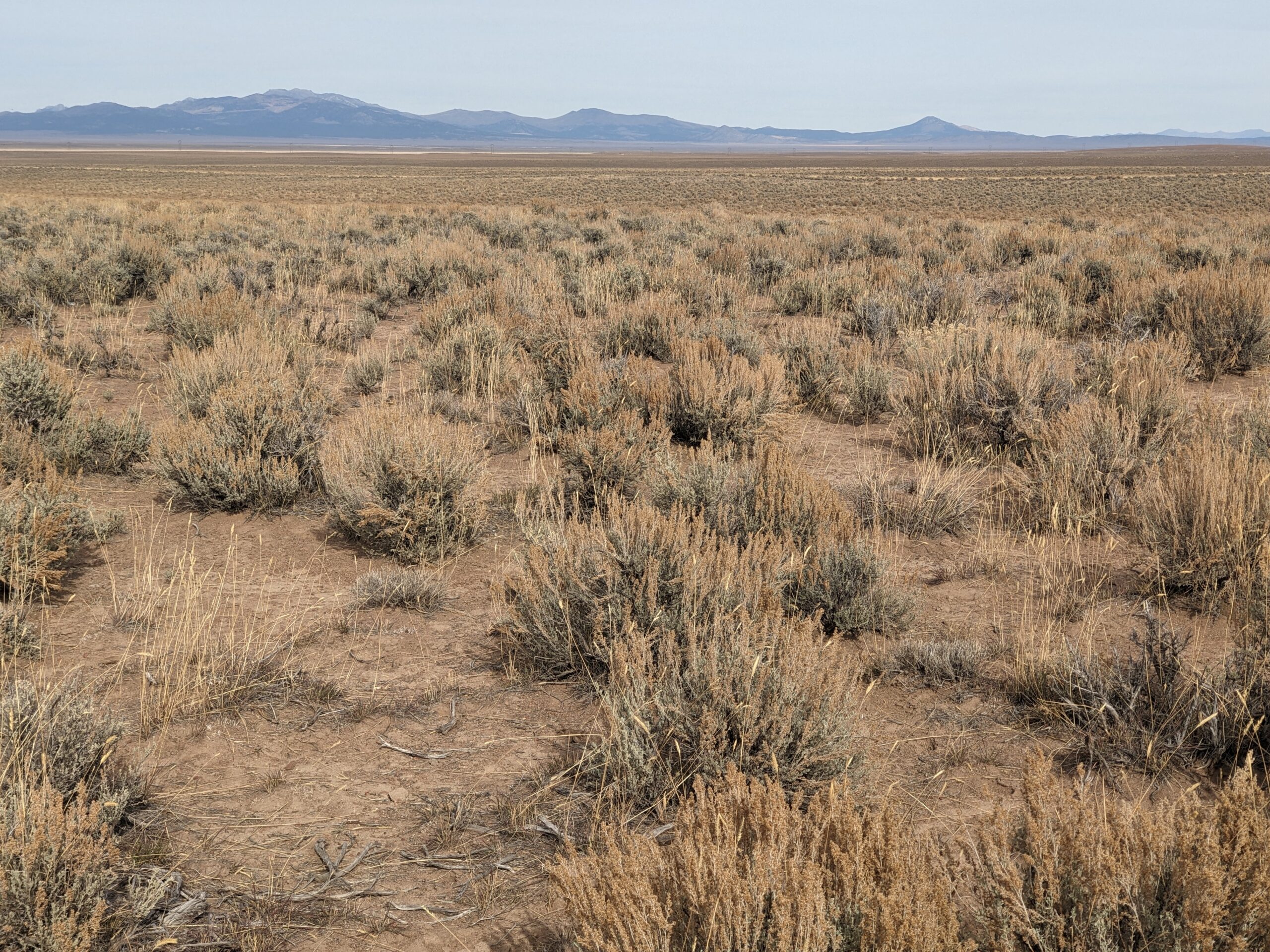
In fact, Highway 50 is called America’s Loneliest Road and it is easy to see why. The highway features long arrow-straight stretches across sagebrush-covered open desert that crosses what is called the Great Basin, a vast area taking up most of Nevada and part of Utah that has no outlet to the sea. Very few communities survive in these conditions and the land is mostly left to it’s own remote existence, bar an occasional ranching or mining endevour. But we love the wide-open spaces and were looking forward to crossing it.
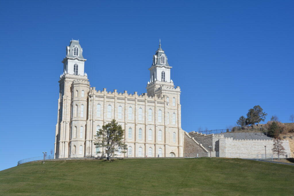
We left Utah and passed into Nevada before making our way up to the Great Basin National Park where we camped for the night next to a noisy mountain stream surrounded by pine and aspen and bears if you believe the warnings. And as usual, we were completely by ourselves, not counting the invisible bears.
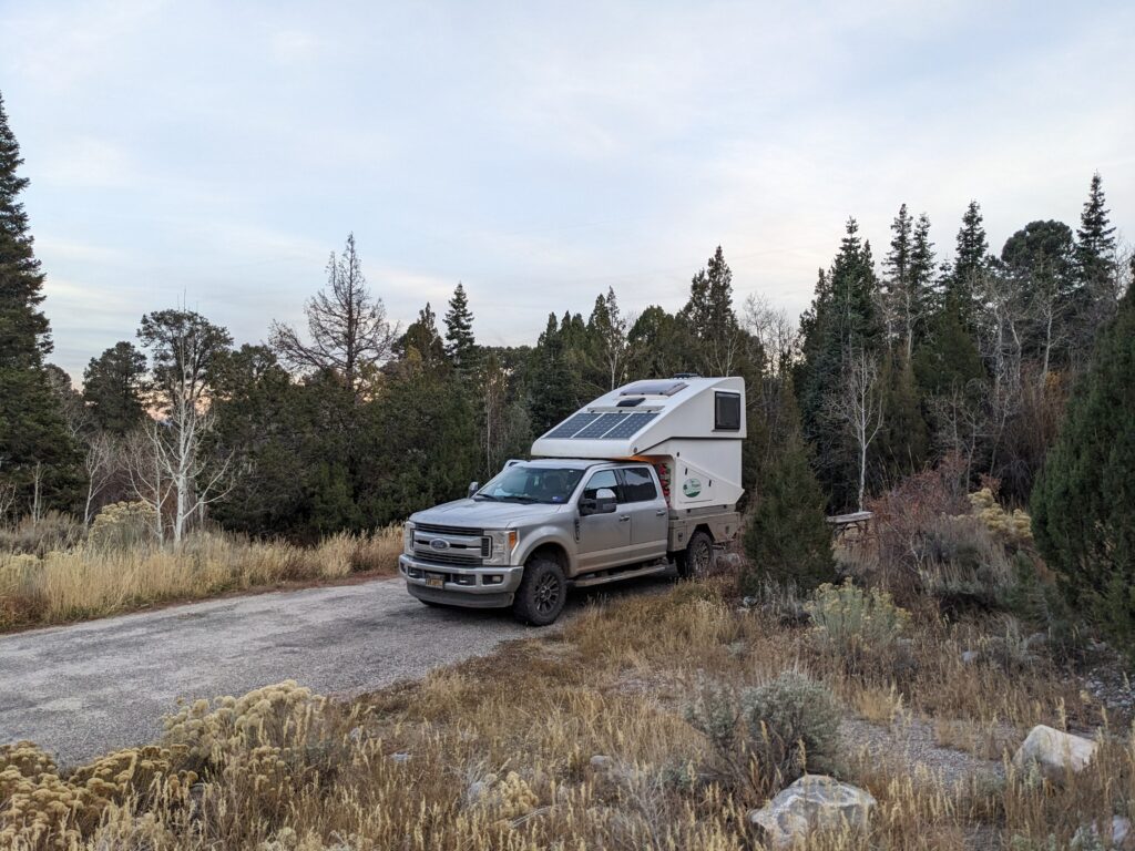
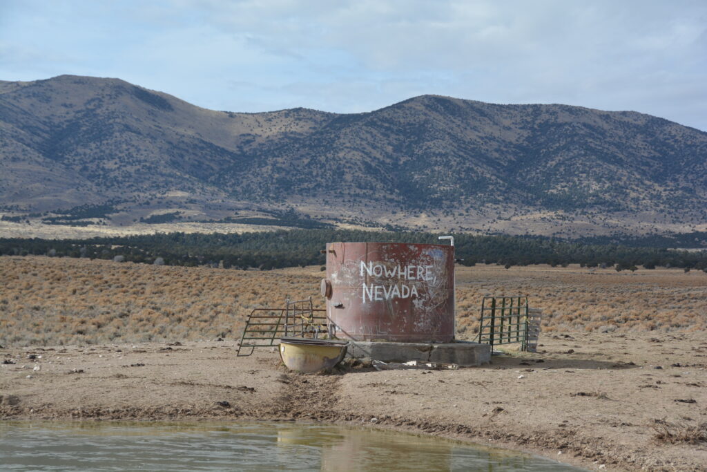
The next morning we headed off across the loneliest road and the beautiful expansive spaces of the Nevada desert. But it isn’t all flat desert. A series of substantial mountain ranges dissect this barren land such that you have to climb up a mountain pass, crest over the summit and start the long journey back down to the next desert valley. There were rarely any signs of human life except the occasional sandy tracks heading off into the distance.
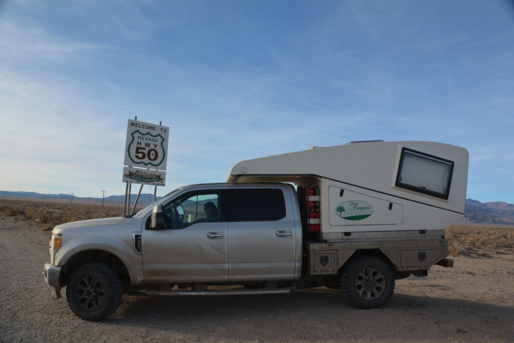
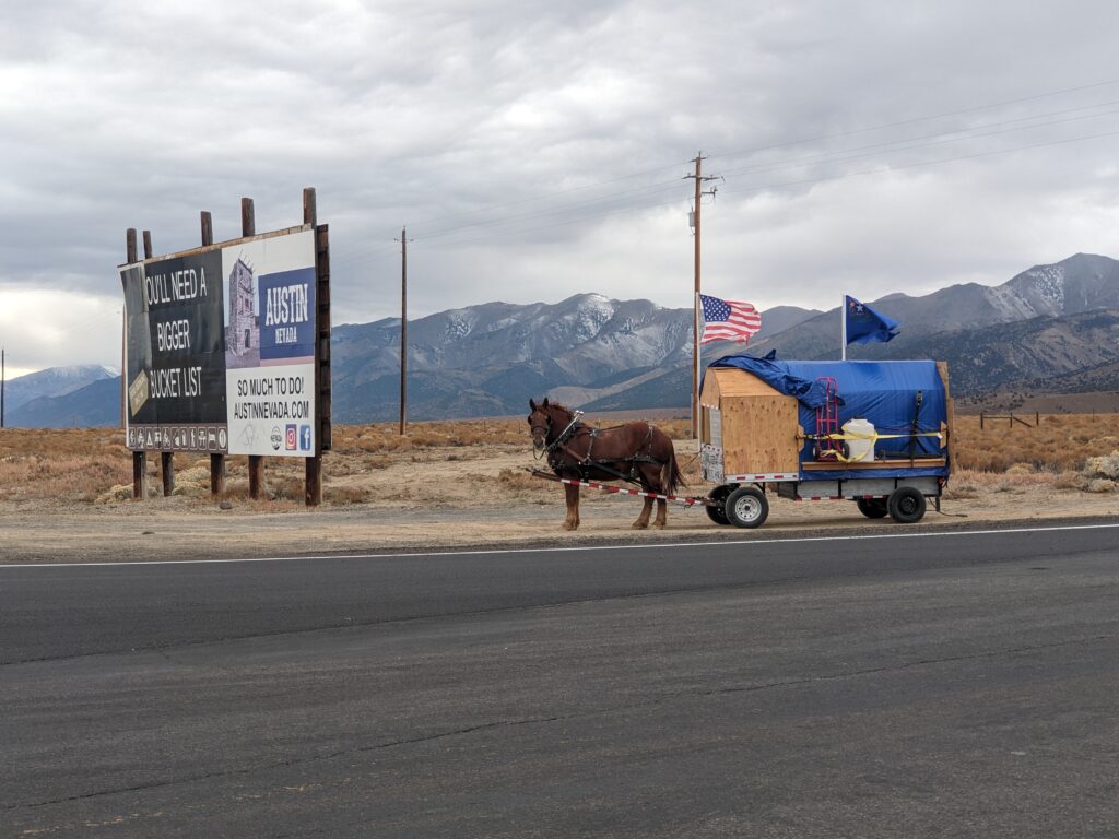
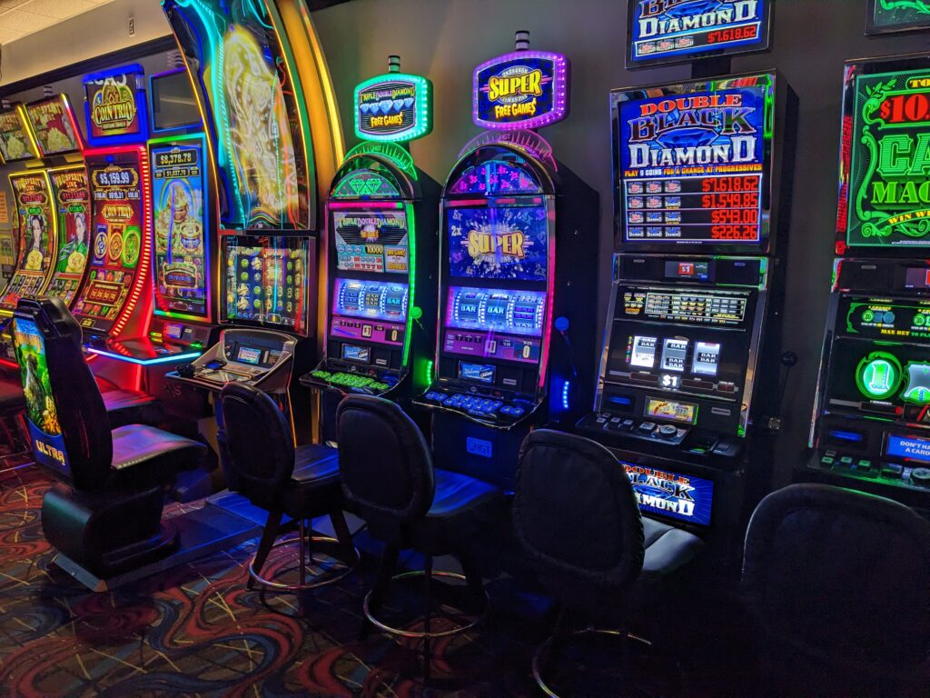
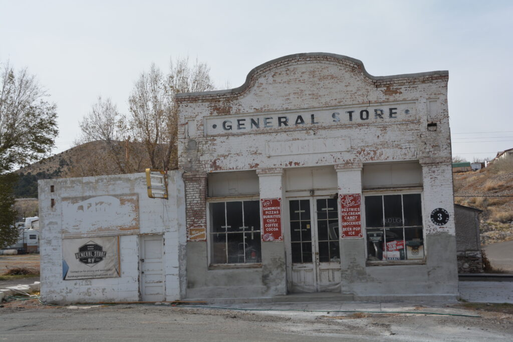
We refueled in Ely, the only major town in the desert, and later passed through two almost-ghostly forgotten communities of Eureka and Austin. Otherwise, nothing. We did stop at a few information boards at the ruins of Pony Express stations when back in the early 1860’s hardy cowboys would ride a relay of horses from station to station, delivering mail across 2,000 miles in only a few weeks. Man, those guys were tough.
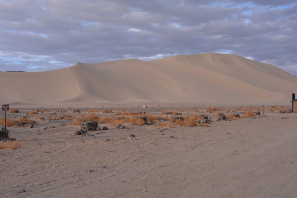
We also stopped at Sand Mountain, a giant Sahara-like sand dune formed in the desert which is now a recreation super-site for everyone with some sort of sand buggy or fat tyre vehicle. With a sandy campsite that could probably handle many hundreds of campers and their toys it would truly be a cultural experience to be here on, say, Memorial Day long weekend.
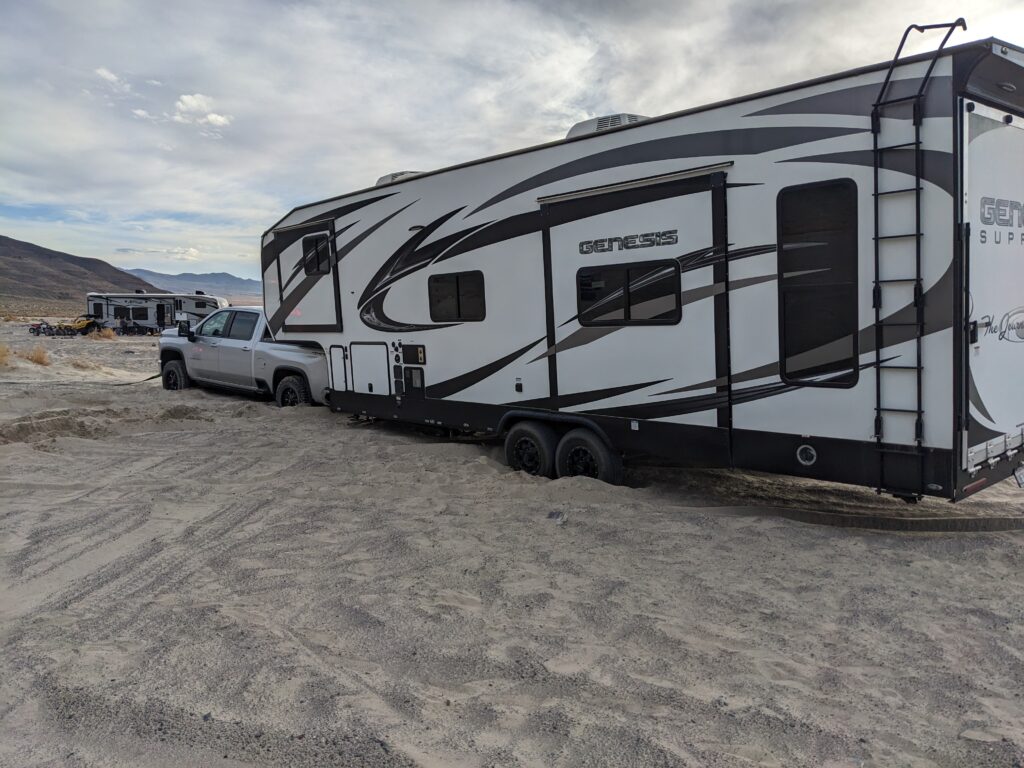
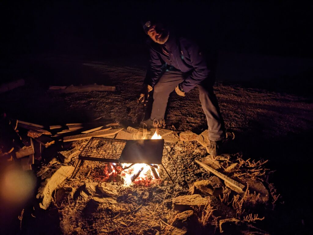
We pulled into the major town of Fallon on the western edge of the desert and headed for an area called Indian Lakes where we set up camp just before sunset and built a celebratory fire. Celebratory because this would be our last camping night for our entire Follow the Sun journey – the following night we planned to stay at my sister’s house in northern California before returning to my mother’s house in Salinas.
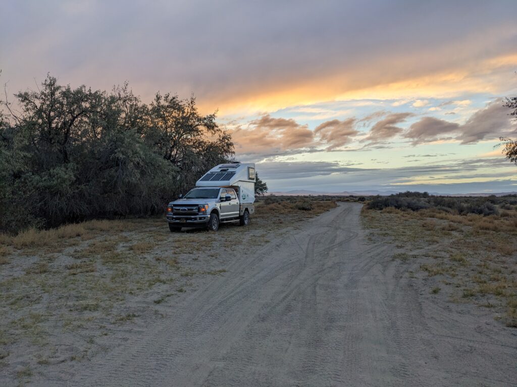
As we sat around the fire we talked about our journey and reminisced about all the wonderful experiences we had had over the last six and a half years. Yes, it was very exciting to be finally finishing our journey but we had both invested much of our later-day lives into this major project, ended our careers early, packed up our house, said goodbye to our family and friends and headed off into an extraordinarily exciting but unknown future.
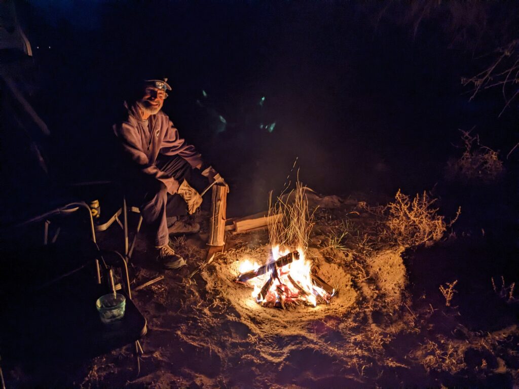
And yet, sitting around the fire one more time also was very sad because we knew that even though we were planning more adventures with Tramp in future years they would never match the scale, complexity, risk and reward of our Follow the Sun around the world journey. We had much to celebrate and much to be proud of, that’s for sure.
Comments
Getting closer… — No Comments
HTML tags allowed in your comment: <a href="" title=""> <abbr title=""> <acronym title=""> <b> <blockquote cite=""> <cite> <code> <del datetime=""> <em> <i> <q cite=""> <s> <strike> <strong>