Is this a good idea?
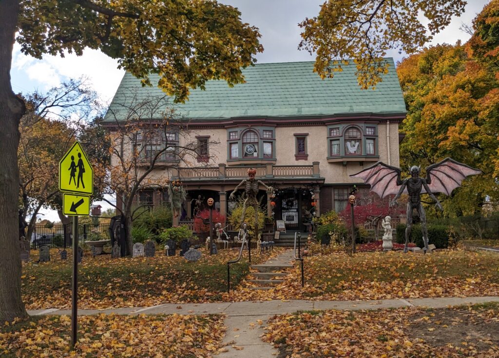
Normally at this time of year around the Great Lakes – late October – people are gearing up for their Halloween celebrations and hunkering down for the onset of winter. Summer cabins on the lakes are being winterised, boats stored indoors, winter tyres dusted off, state parks are shuttered, beanies and gloves pulled out. The sky stays grey, the temperatures drops, the days get shorter and in due course the persistent rain turns to snow. We know all this and we are watching all this and talking to locals about all this but still we point Tramp north. Is this really a good idea?
Hmmm. When we woke up the next morning at the rest stop next to the highway it was 3°C (37°F) and by the time we got into the local town of Holland there were snow flurries. We had a couple of admin tasks – we needed to get the fan/vent above our bed caulked because it had been leaking on us, we needed warmer winter boots and we needed bear spray. All these missions were accomplished and we headed north again on Highway 31, away from the major populated areas of southern Michigan.
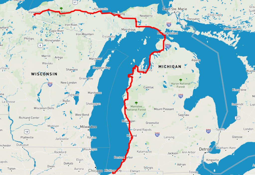
Michigan has always been a curiosity to me. It is quite a large state squeezed in between two of the Great Lakes and shaped like a giant mitten I once wore as a child to throw snowballs. But the craziest feature is that it has an unattached northern section, which locals call the Upper Peninsula, that is an extension of the nearby state of Wisconsin but is connected to the rest of Michigan by bridge. We were determined, weather permitting, to explore these thinly populated and somewhat obscure northern areas.
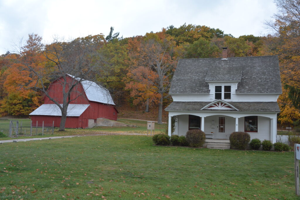
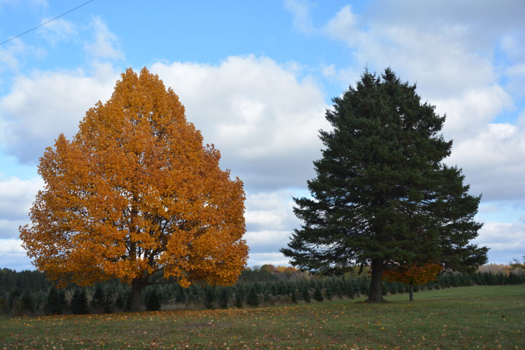
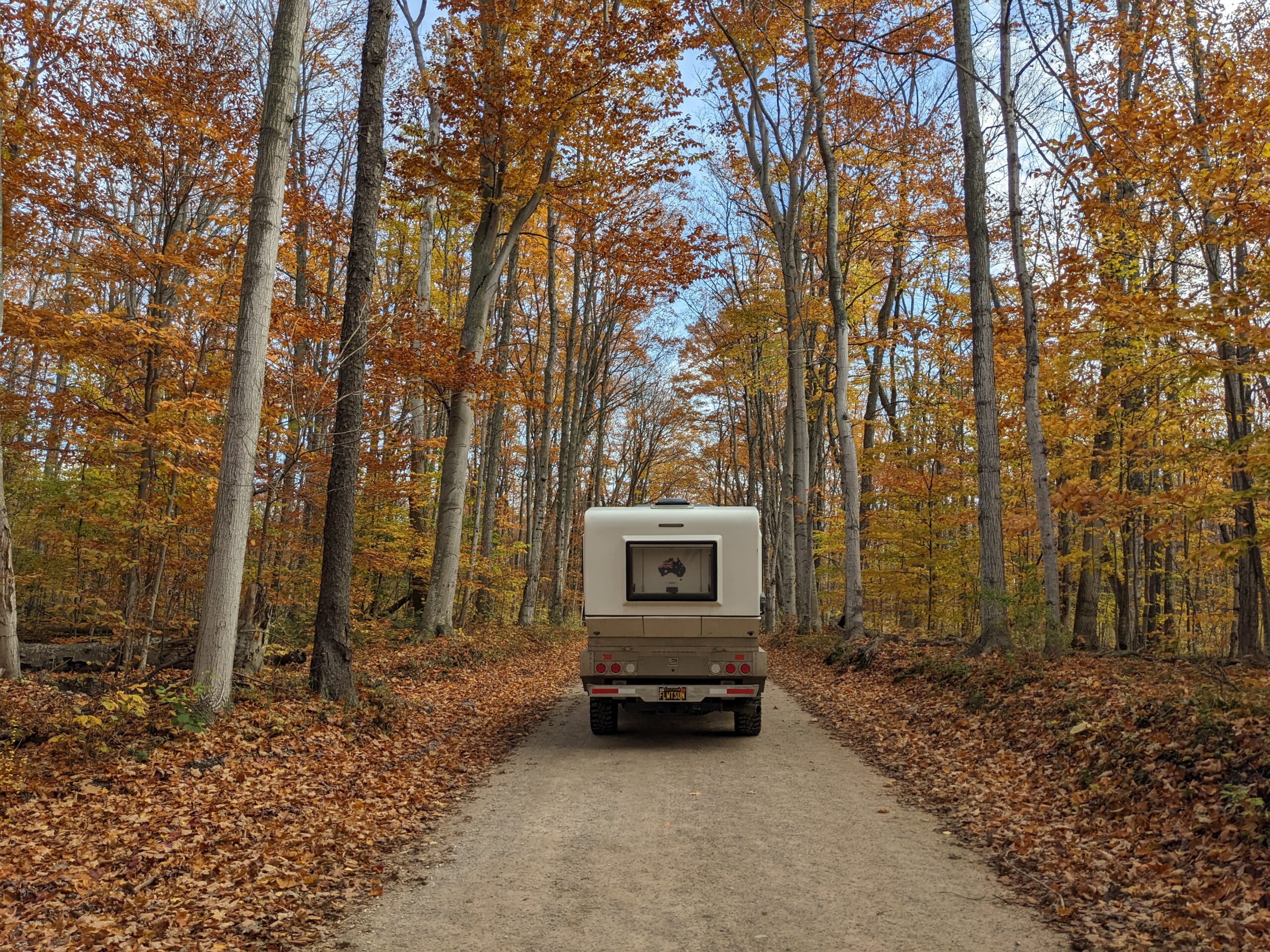
As we headed north we passed through more farm land but most of the terrain was covered by thick forest, the deciduous members nearing the end of their late autumn process while the conifers still stood tall and green as if nothing is happening.
We passed through the attractive lakeside town of Manistee and ended the day near Crystal Lake which is one of many lakes in the region formed off Lake Michigan when sand dunes shifted a long time ago. The temperature was soon hovering around zero but we had fall trees all around us, new boots and a fire to keep us moderately thawed.
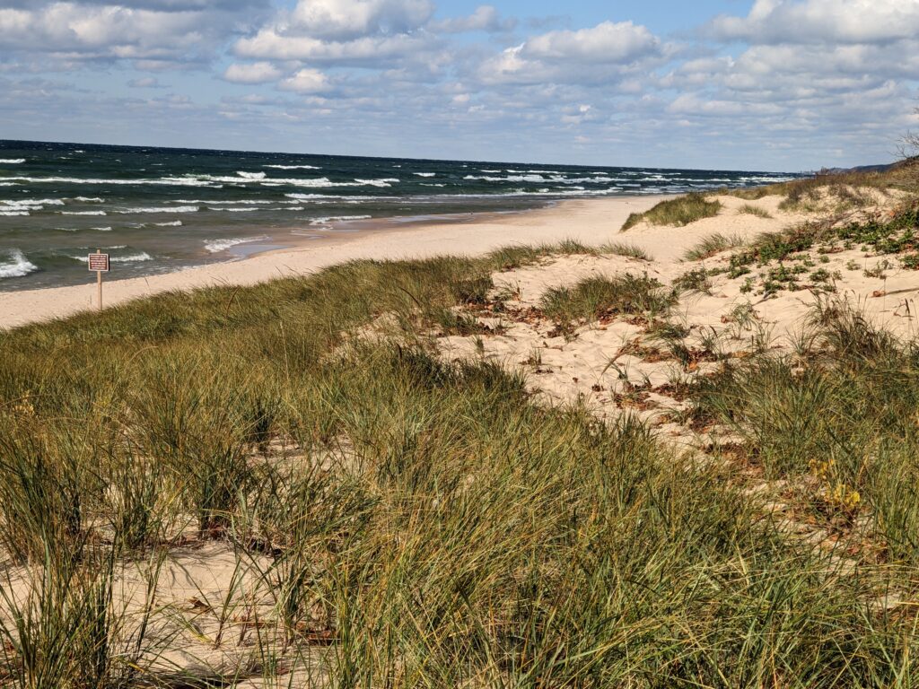
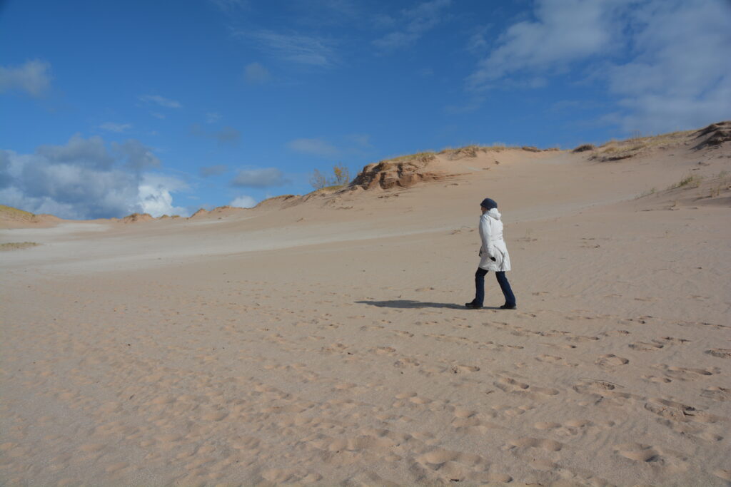
We came up to the fabulously-named park of Sleeping Bear Dunes National Lakeside, part of America’s fabulous national park network (but not in the same highest category as a national park). The park protects another huge swathe of massive sand dunes that form the Lake Michigan shoreline along the western shore of the state. I had never heard of this incredible natural phenomenon of sand dunes building up over the millennia along this shore and yet here we were in the second such area in as many days protected by the national park network. Absolutely amazing stuff.
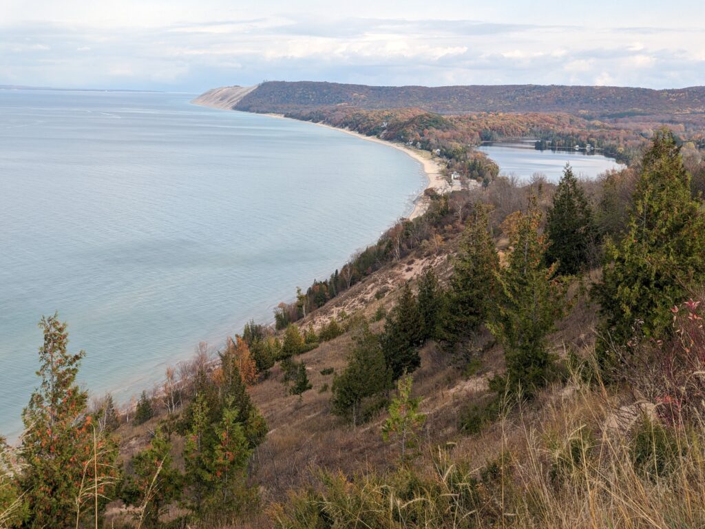
At the Ranger’s suggestion we did a couple of wonderful walks and visited a few of the lakes that have been formed by shifting sand dunes. The first walk behind the small community of Empire gave us extraordinary views up the coastline from a vantage point on top of the dune 360 feet (110 metres) above the water.
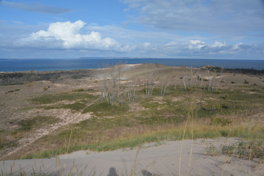
The second walk was a bit more formidable, covering 2.8 miles (4.5 kilometres) up and down some massive sand dunes out on Sleeping Bear Point. Along we trudged like Lawrence of Arabia, the tops of the dunes giving us panoramic views all around, the lake and the two large islands just offshore. We also saw a grove of ‘ghost trees’, trees that were overtaken by the shifting sands and died.
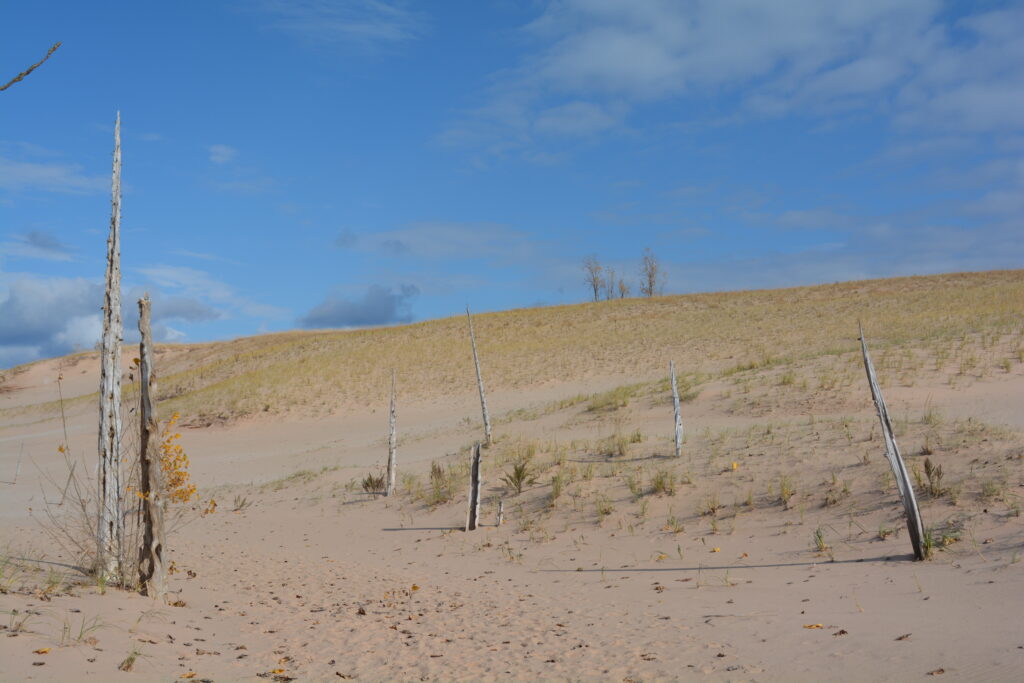
Sleeping Bear Dunes National Lakeside, which hands-down wins the award for the best name of any national park land, was gobbling us up and if we hadn’t been careful we could have stayed another couple of days. If you are going anywhere near the Great Lakes, make a beeline detour to this place.
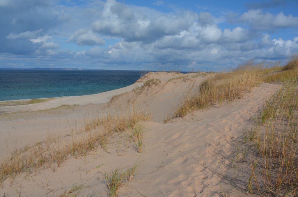
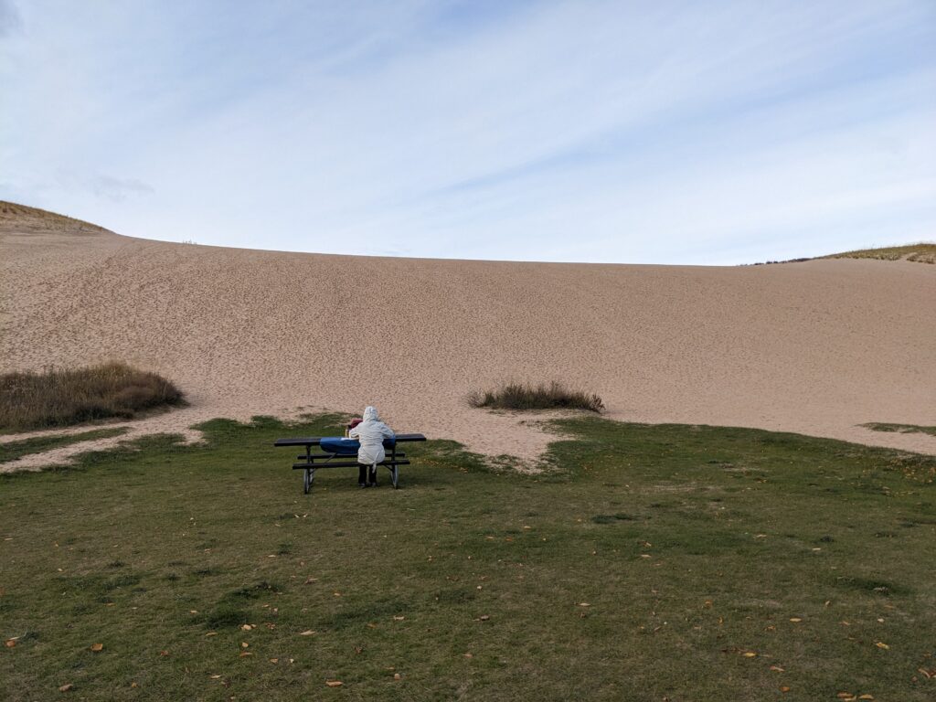
With the temperature hovering around 2°C (35°F) and snow flurries a beautiful new addition to the afternoon drive, we only made it about 100 miles (160 km) up the road before camping in another closed but open campground. We’re liking these places – the gates are open but there’s no one there and in some cases the toilets are locked. Much better than carparks. And on this occasion there was already a day’s worth of snow on the ground, a perfect Halloween night’s setting.
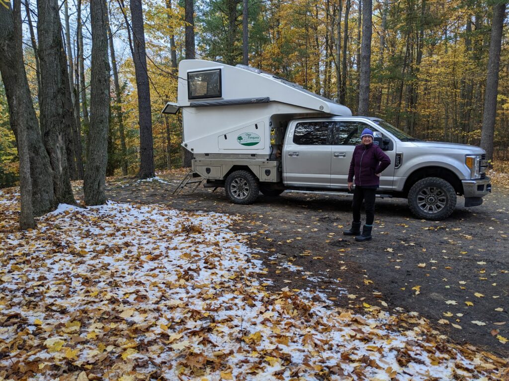
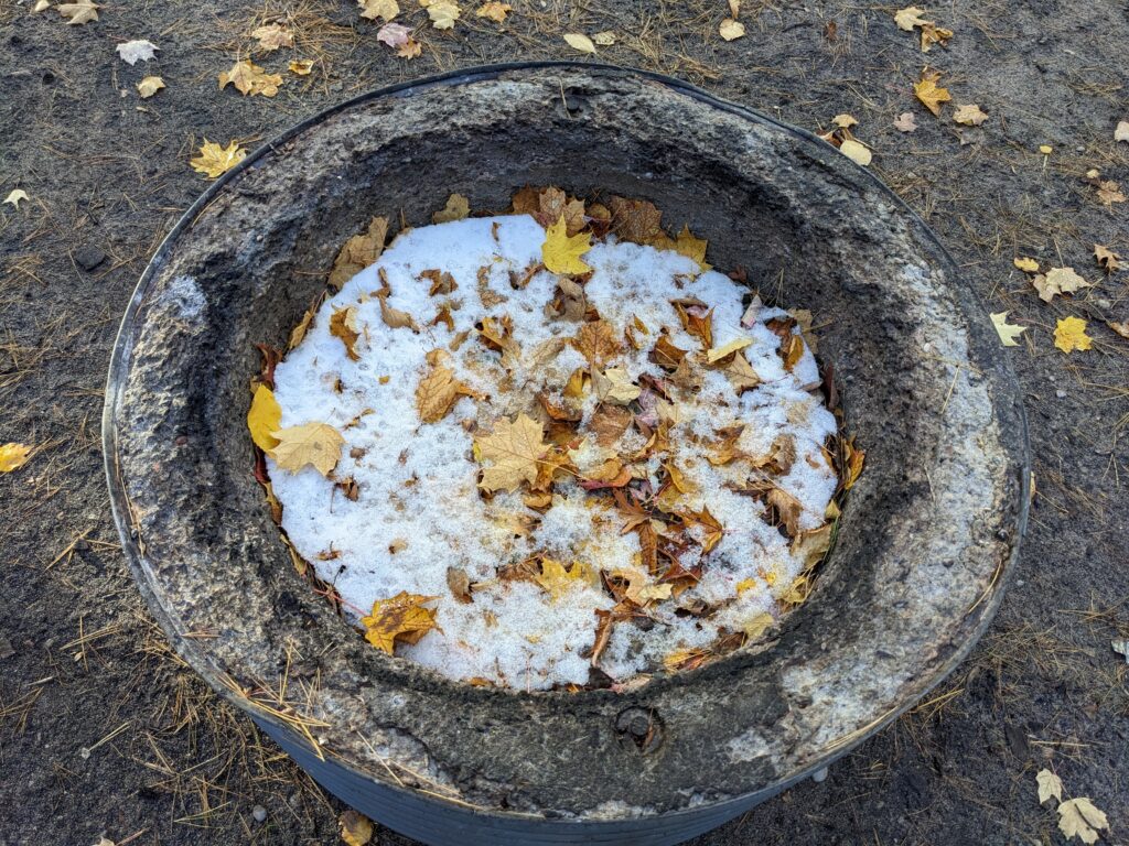
We didn’t get visited by any trick-or-treaters that evening and woke the next morning to the water of Lake Michigan lapping at the shore just below us and a thin layer of fresh white snow covering Tramp and the woods around us. Like a winter wonderland, Michigan was delivering on all fronts. But we had much more to explore on our passage through this land and headed north on Highway 31, our friend for the last couple of days, to the pride and joy of all Michiganians – the Mackinaw Bridge.
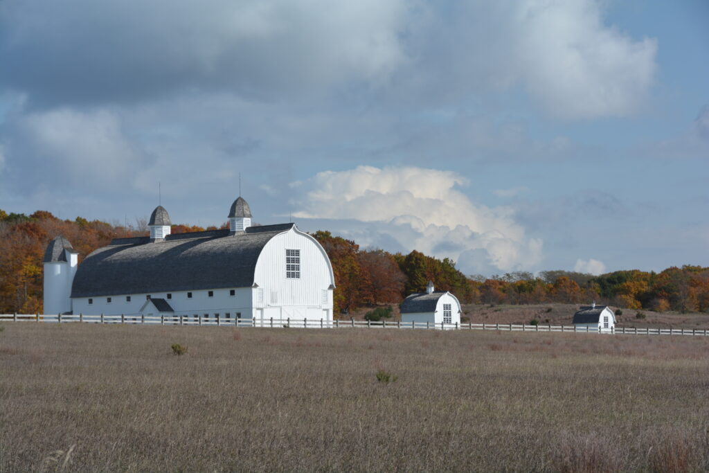
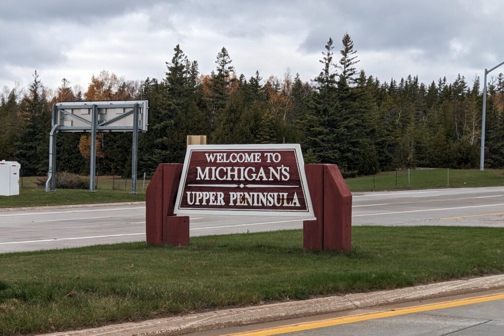
The Mackinaw Bridge was built in the 1950’s and linked the mitt-shaped lower ‘mainland’ part of Michigan to the Upper Peninsula, known to everyone far and wide as UP. Why UP actually ended up as part of Michigan instead of Wisconsin which it is attached to, who knows and who cares. We crossed the bridge, nicknamed Mighty Mac, and entered the Upper Peninsula, a land of wild places, small communities, few people and to Julie’s delight, about 12,000 black bears.
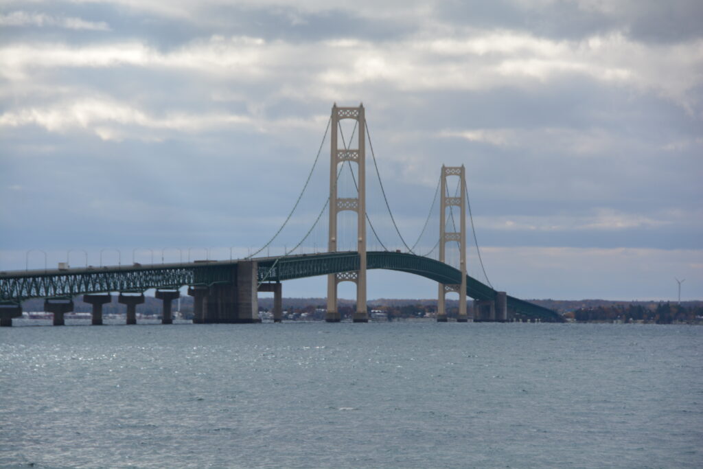
The bridge also acts as a passage between Lake Michigan to the west and Lake Huron to the east. We had a good look at Lake Huron as we crossed the bridge but frankly it was a big lake and looked just like Lake Michigan, which we were much more emotionally attached to.
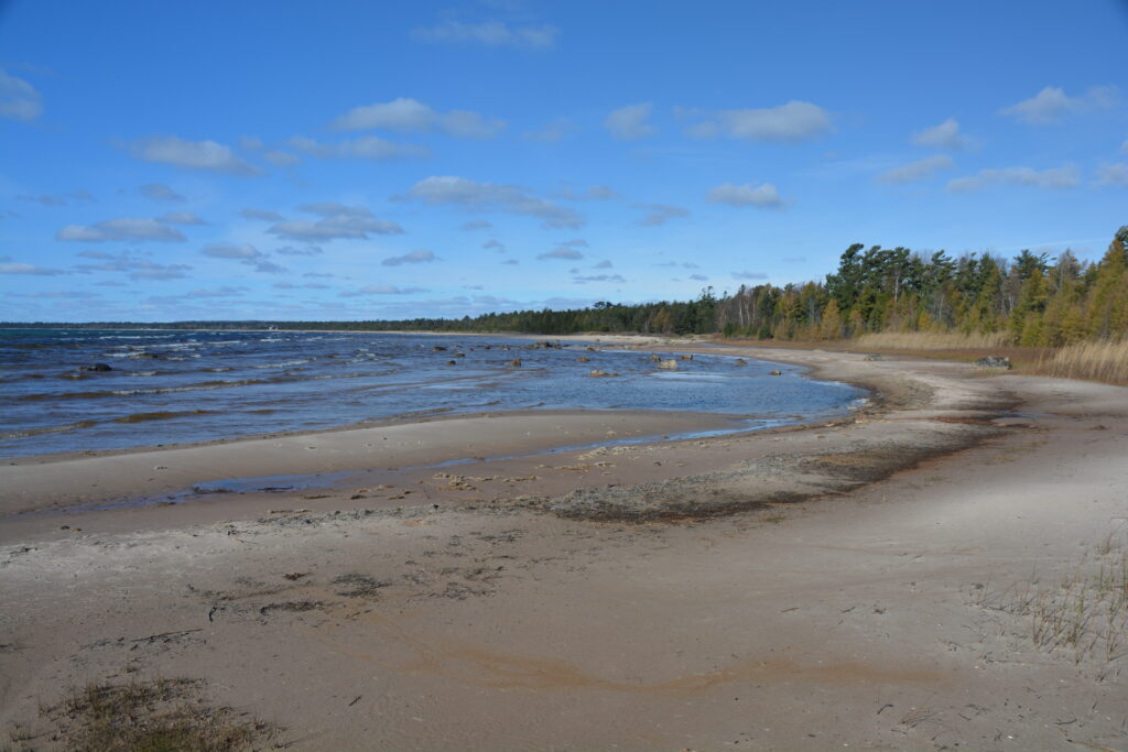
We followed Highway 2 westward along the northern coast of Lake Michigan, snow still on the ground from recent flurries, any sign of agriculture replaced by forests of deciduous birch and maple but also an increasing share of conifers that defy the onslaught of winter. Traffic was thin, the towns were small, most shops had Closed for the Season signs and we loved the feel of the remoteness and obscurity of this land.
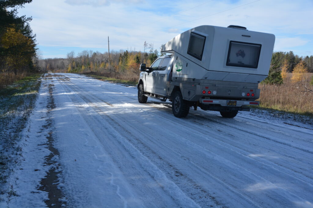
Eventually we turned northward and crossed the peninsula, arriving at the shores of Lake Superior, our fifth and final lake of the Great Lakes on this trip. Lake Superior is the overwhelmingly largest lake of the five, in fact it is said you can fit all the other lakes into Lake Superior and still have room for a couple more. Amazingly, 10% of the world’s fresh water is in Lake Superior. It really is superior.
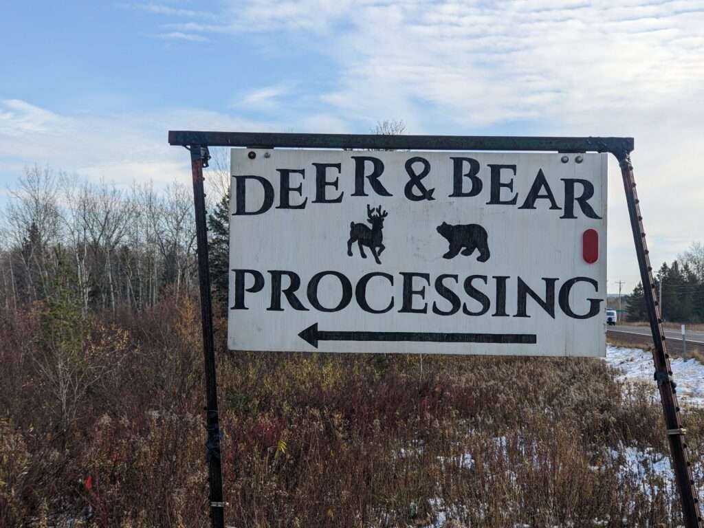
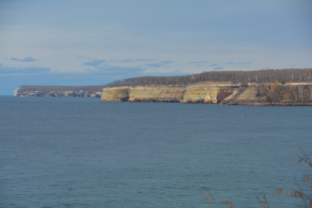
Our target was Pictured Rocks National Lakeshore which features, amongst other things, about 12 miles of sandstone cliffs, in some places rising up over 200 feet. These cliffs, which have layers of colours in them and have been smoothed by eons of wave and storm action from the lake, are a wonderful sight on an otherwise ocean-sized lake.
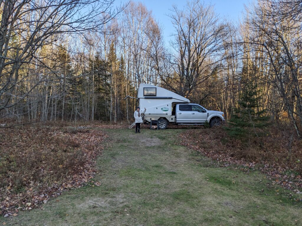
We drove to and walk along the cliffs as best we could before retreating to a nearby national forest and setting up camp next to a horseshoe shaped lake, building a fire and hoping the snow would come back. It was certainly cold enough. And yes, we want more snow. But my guess is we’ll get more snow than we want or need in the days and weeks ahead.
Comments
Is this a good idea? — No Comments
HTML tags allowed in your comment: <a href="" title=""> <abbr title=""> <acronym title=""> <b> <blockquote cite=""> <cite> <code> <del datetime=""> <em> <i> <q cite=""> <s> <strike> <strong>