The Ironbound Range
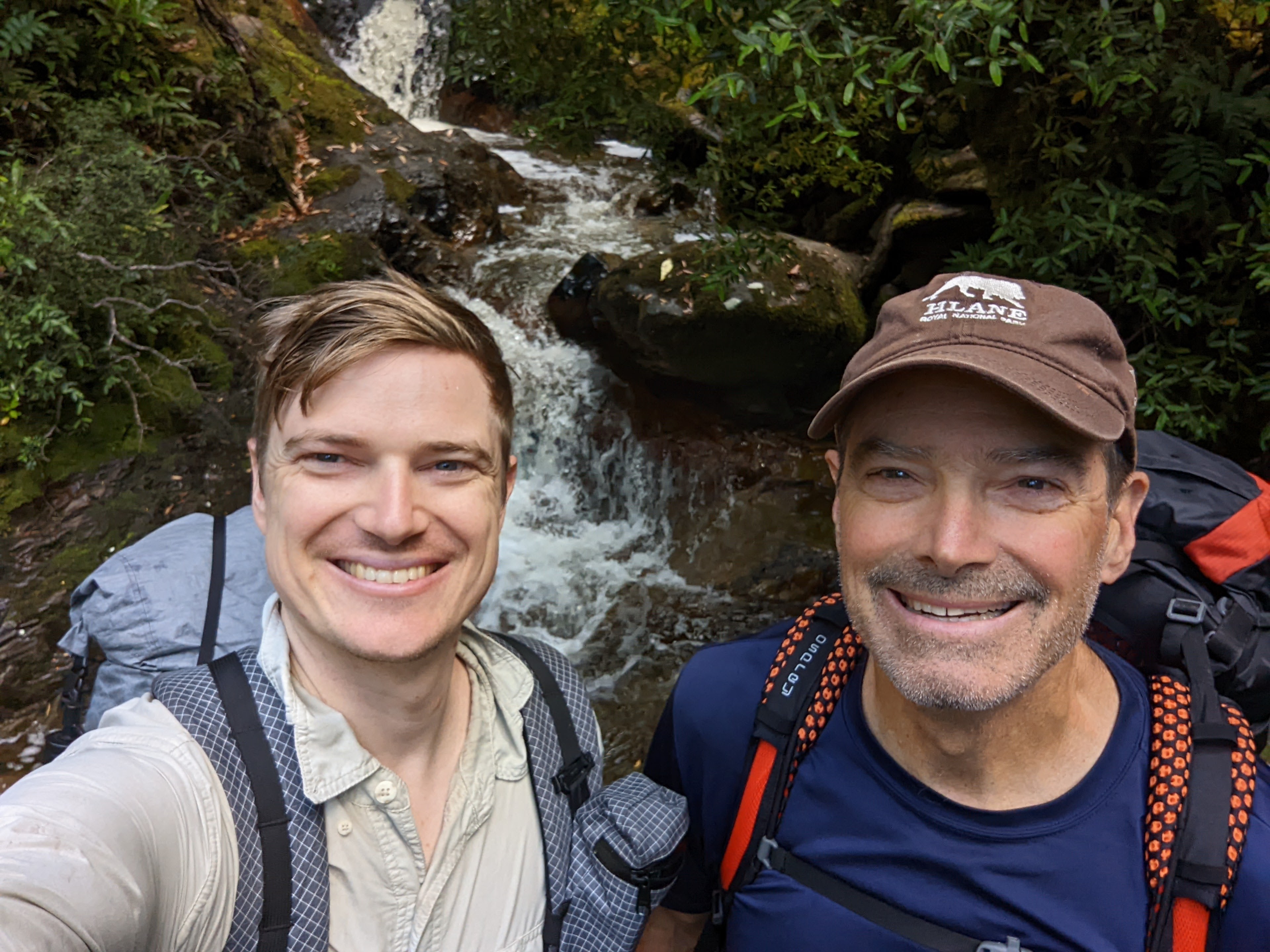
There is something special about reaching your summit, regardless of the context or definition of what that summit might be. Will and I always knew that the biggest challenge of the South Coast Track was crossing the Ironbound Range with its highest point 910 metres (3,000 feet) above our coastal campground. That was our summit, in more ways than one, and would mark the both the figurative and literal highlight of our trip. Something really to look forward to. But hold on, that was still a couple of days in front of us.
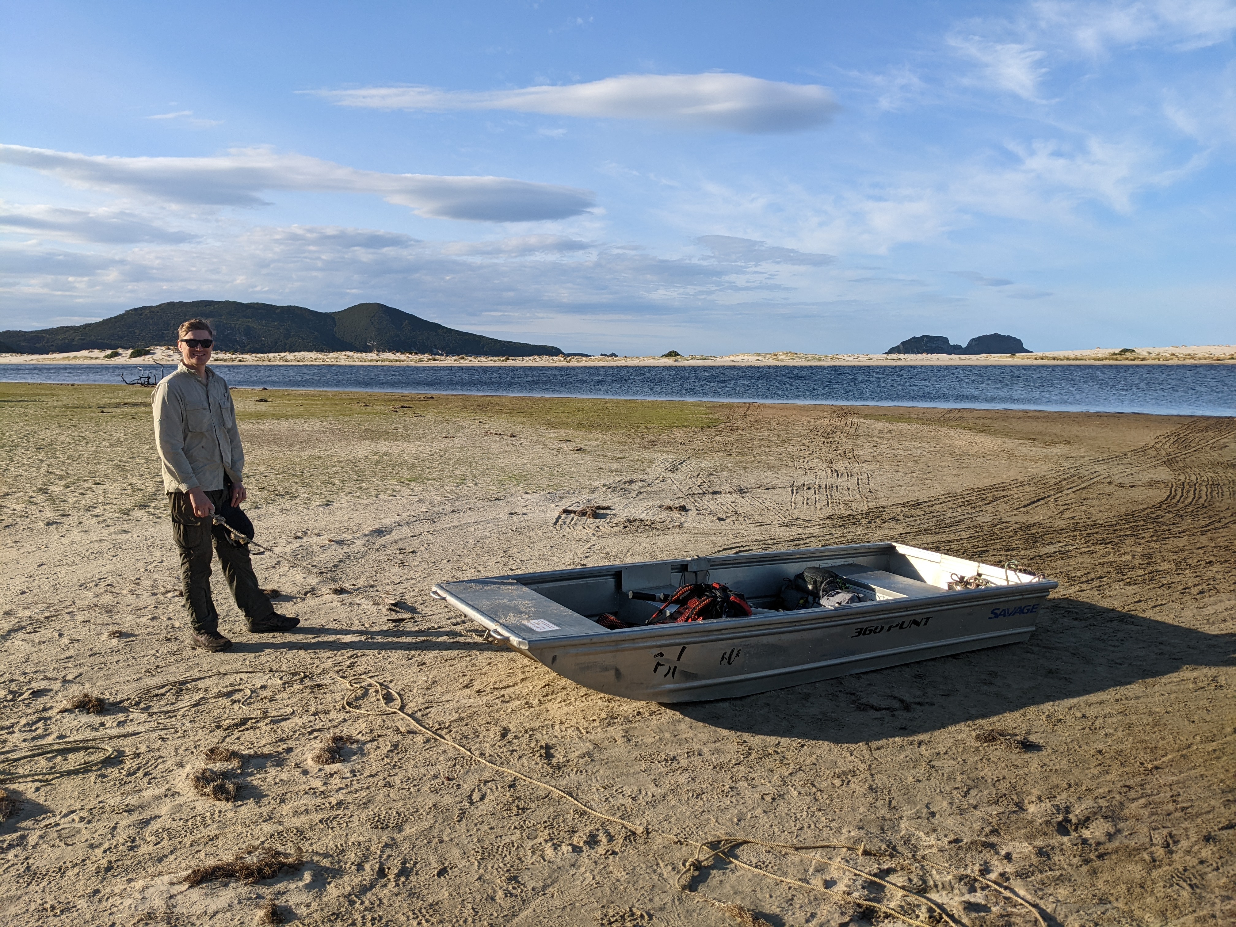
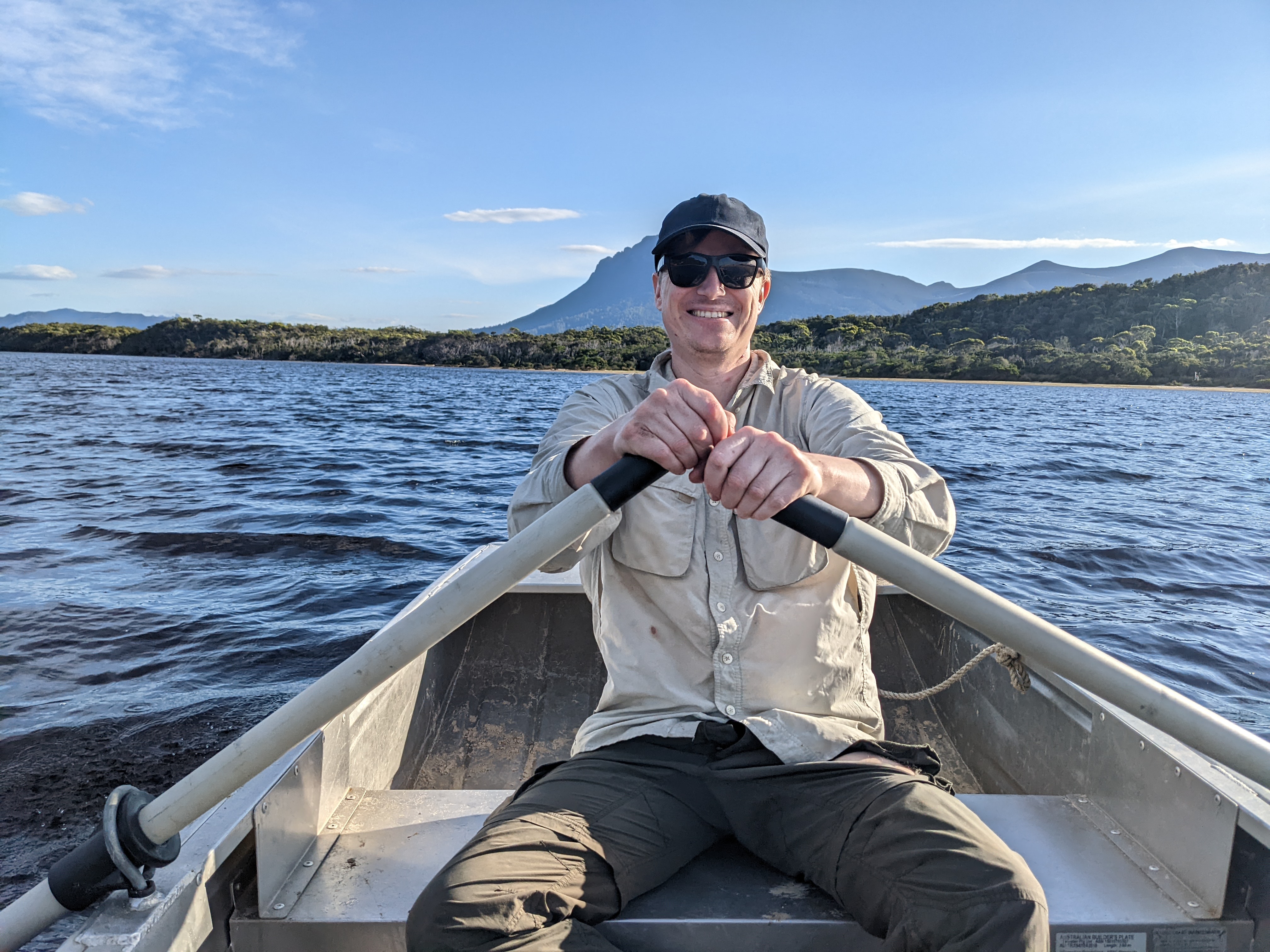
From Prion Beach, where we had camped with only some cute little pademelons to keep us company, we had to cross the expansive New River Lagoon, an imposing bit of water probably 250 metres wide. To make this crossing the national parks service had provided two heavy duty aluminium row boats, complete with oars, one on each shore.
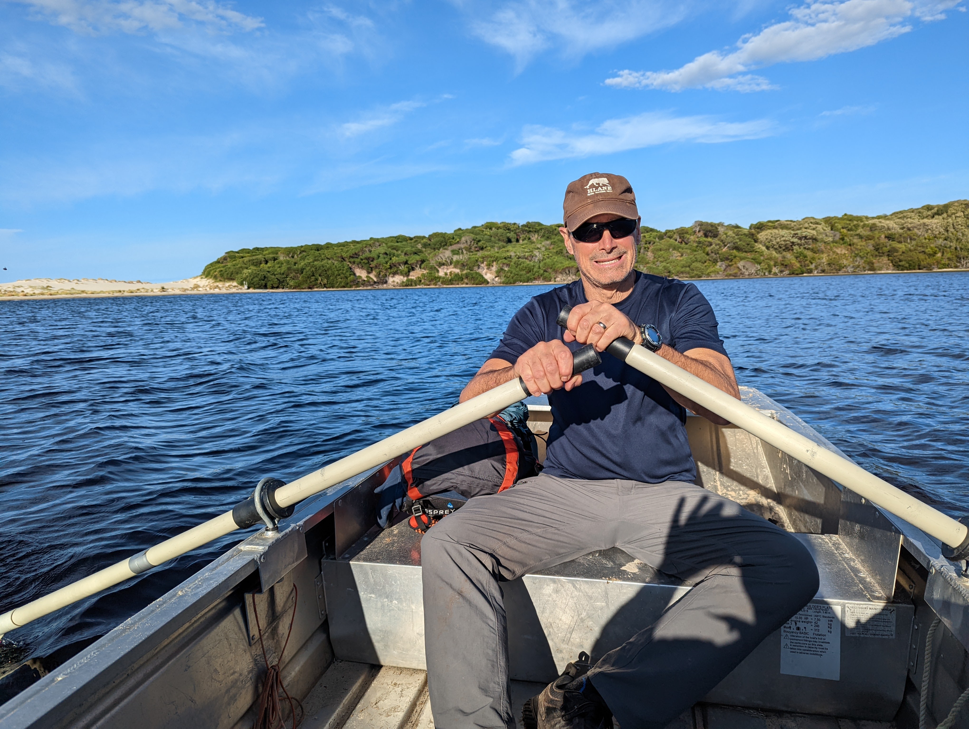
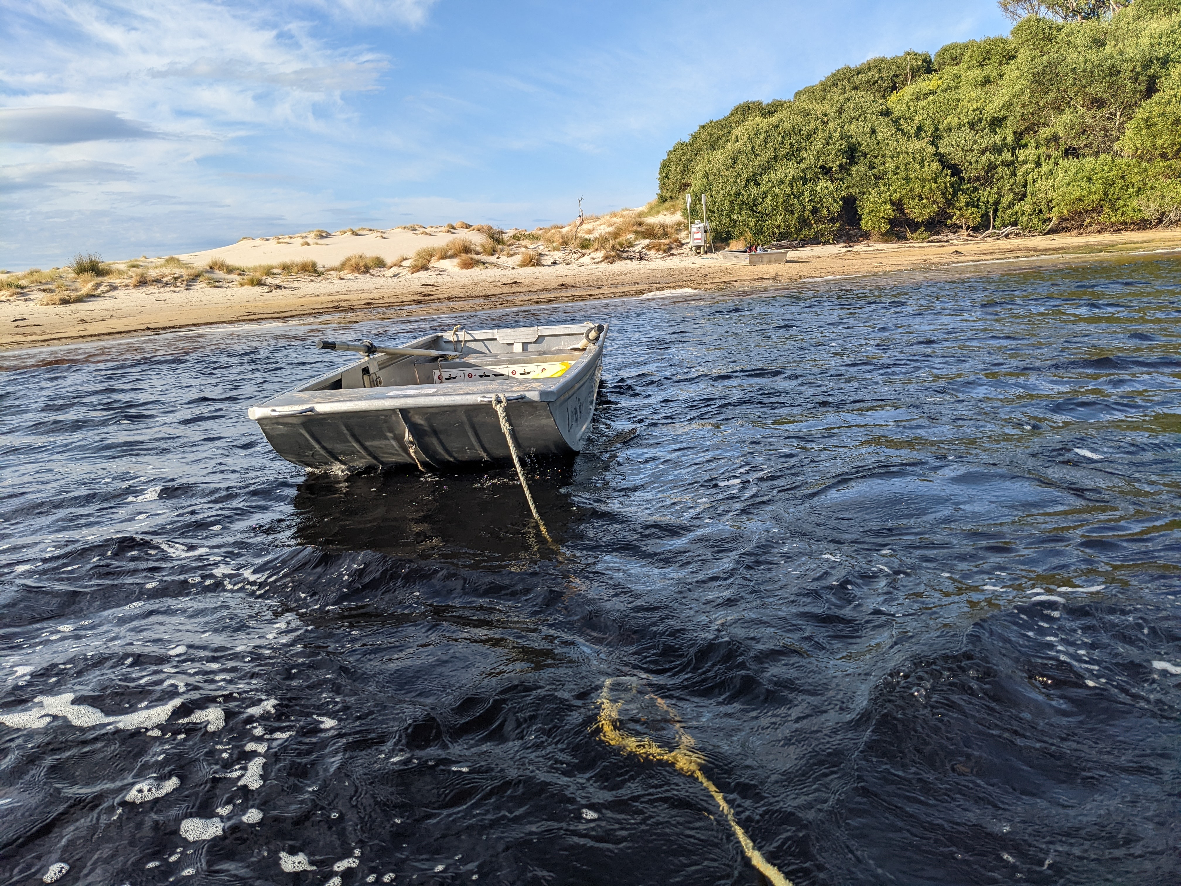
Our task was to row across the lagoon but leave with a boat on each side for the next walkers. To do that we launched the row boat on our shore and I rowed it to the other side, no easy feat for a non-rower. We then hooked the other boat to ours and Will rowed back to our original shore, against the wind, with the second one in tow. Last step, we dropped one boat off and finally I rowed back to the other shore, our third crossing, thereby having crossed the lagoon and left the boats the way we found them. Simple.
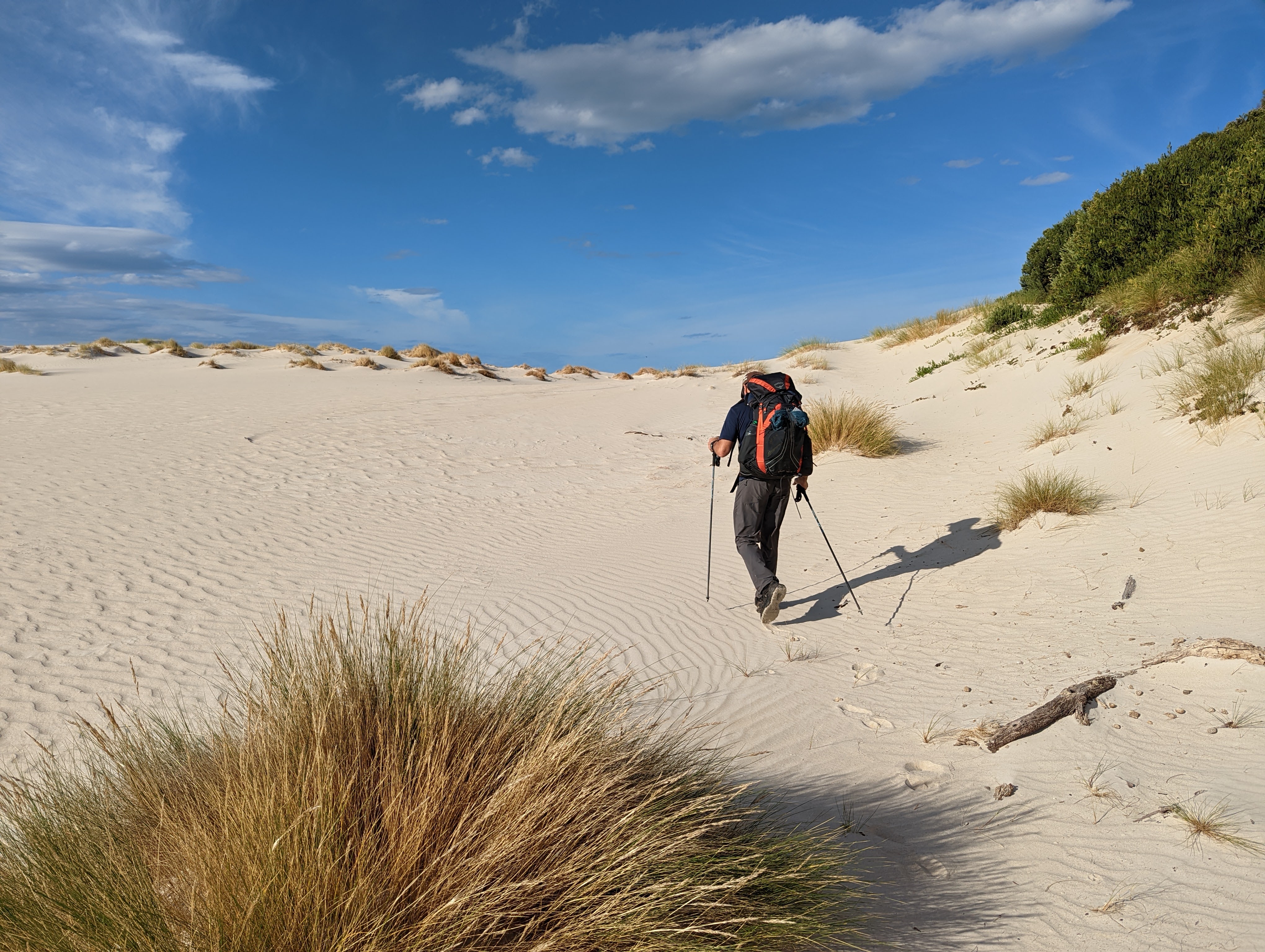
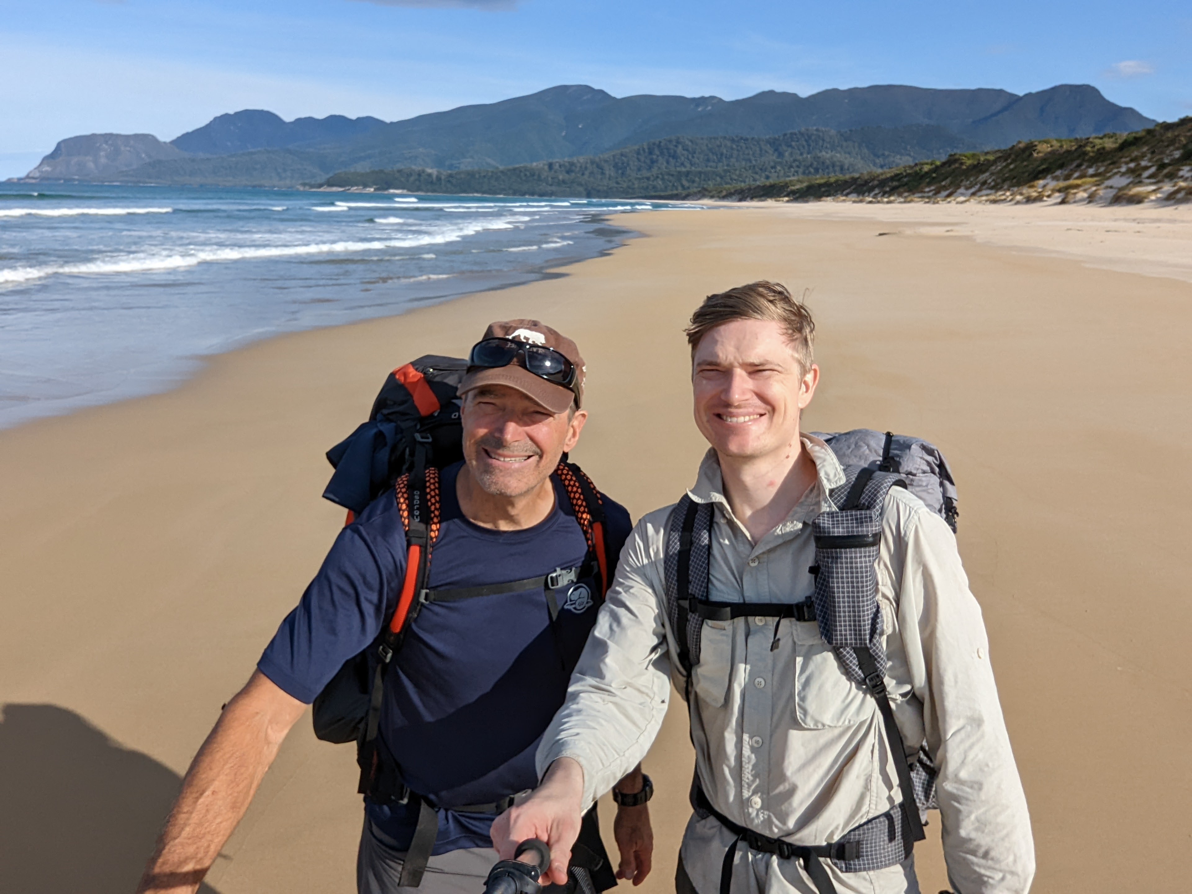
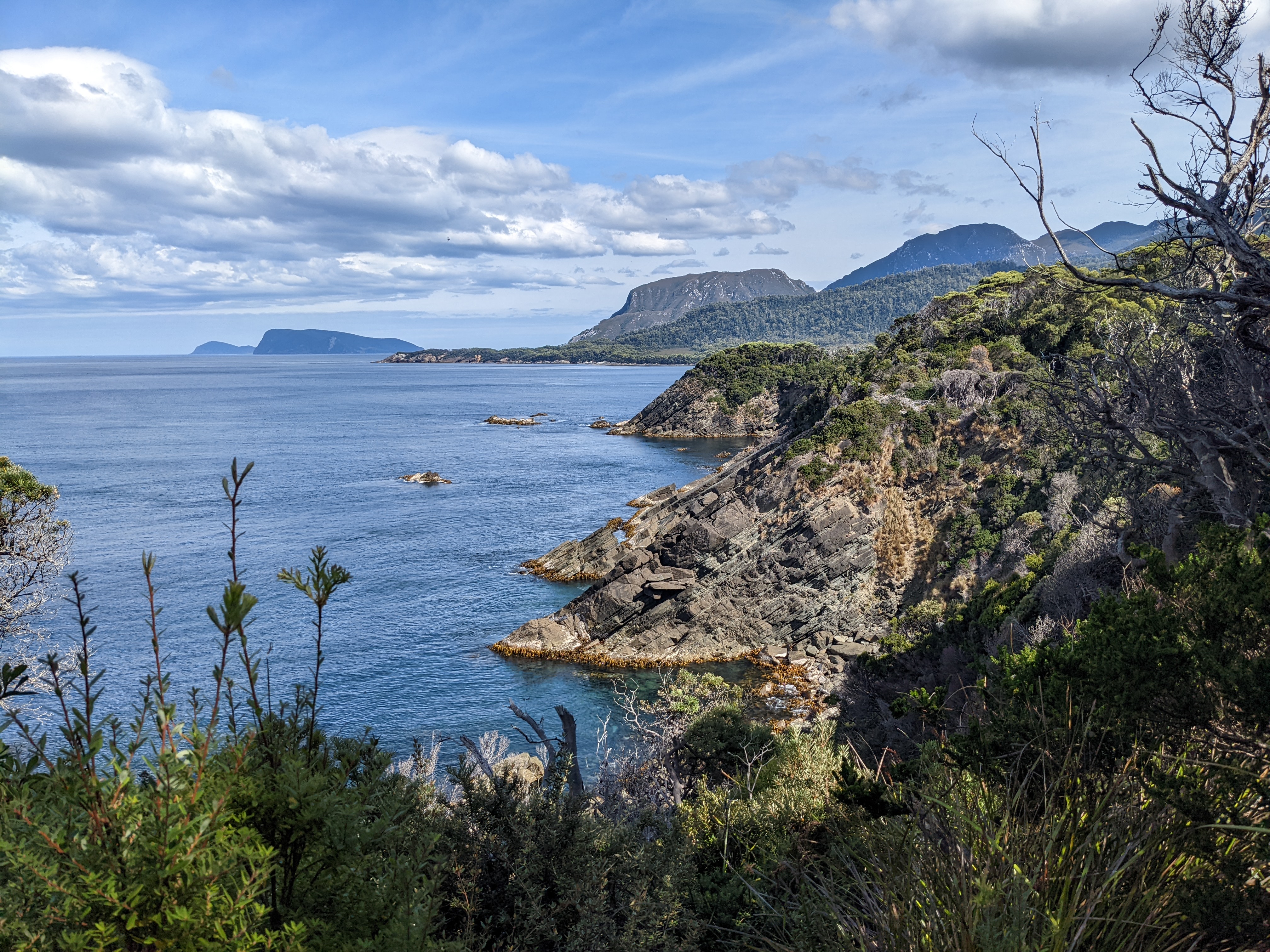
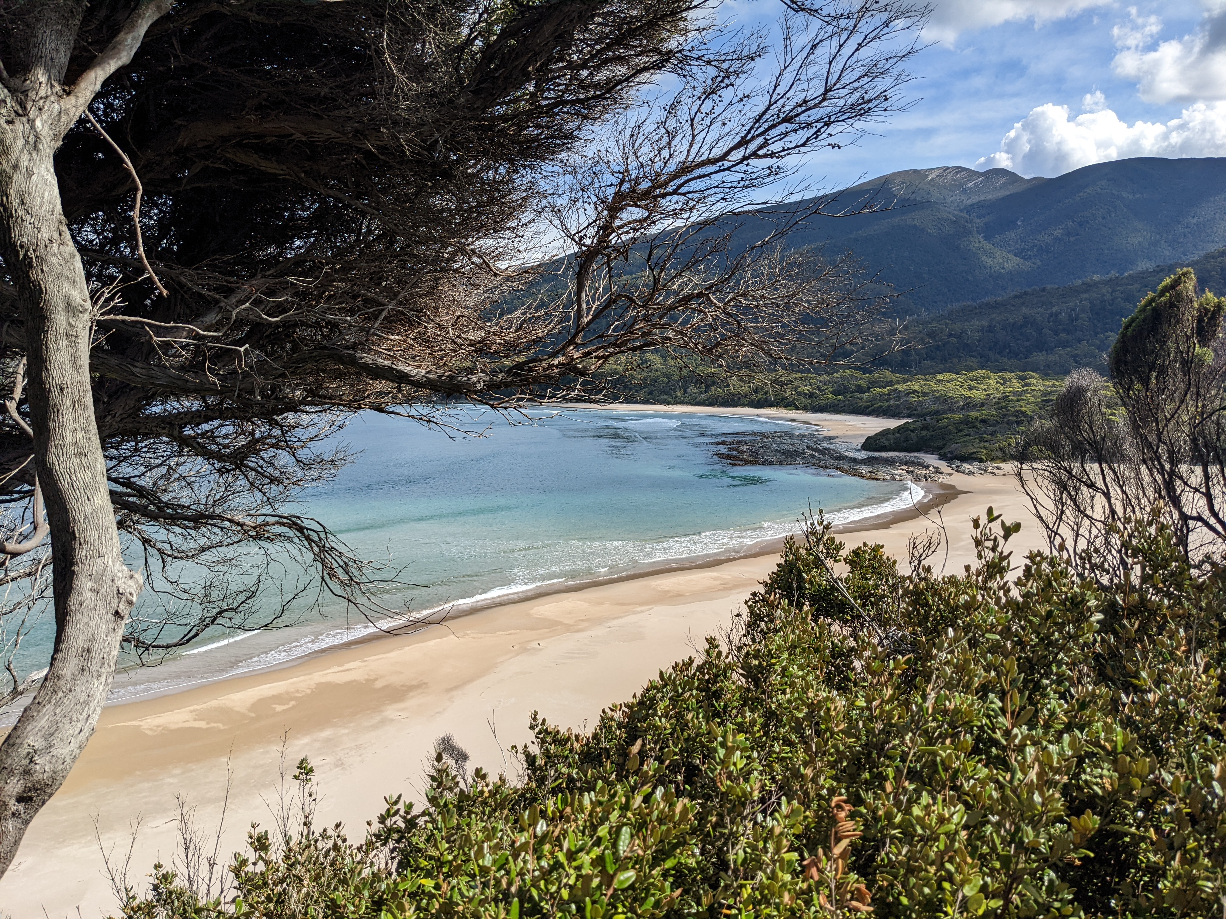
The sun was beating hard this morning and all this rowing was a precursor to a warm day on short water rations as there was no drinkable water at our previous night’s camp. We walked along the beautiful Prion Beach for five kilometres, marvelling at the views looking out across Prion Bay. One of our favourite travel sayings is ‘think about where you are on the map’ and it was never more true than now, walking along the southern-most coastline of Australia, next landfall Antarctica, basking in the warm sunshine, impenetrable wilderness stretching down to the sand, not another soul within a day’s walk. Absolutely fabulous.
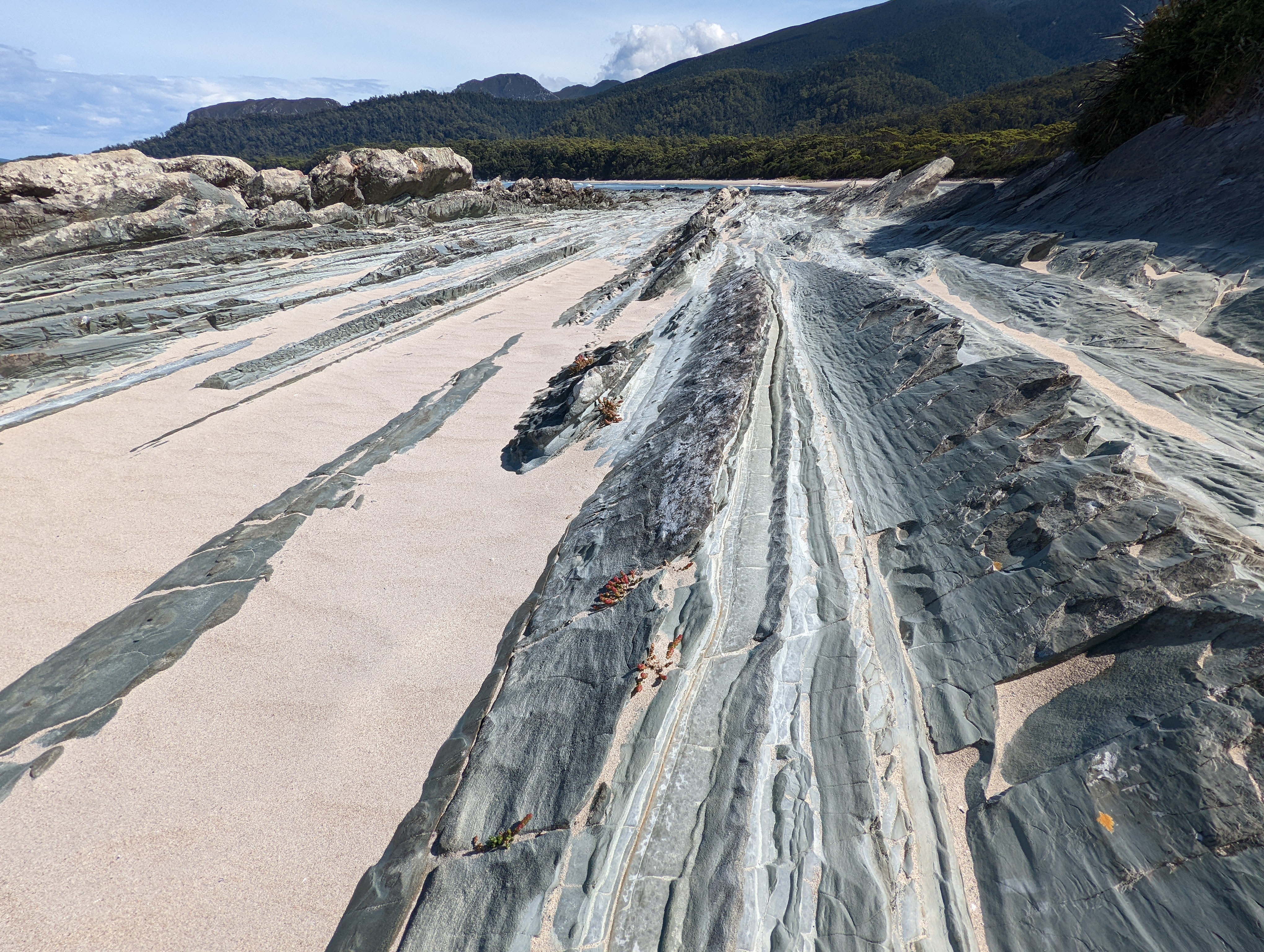
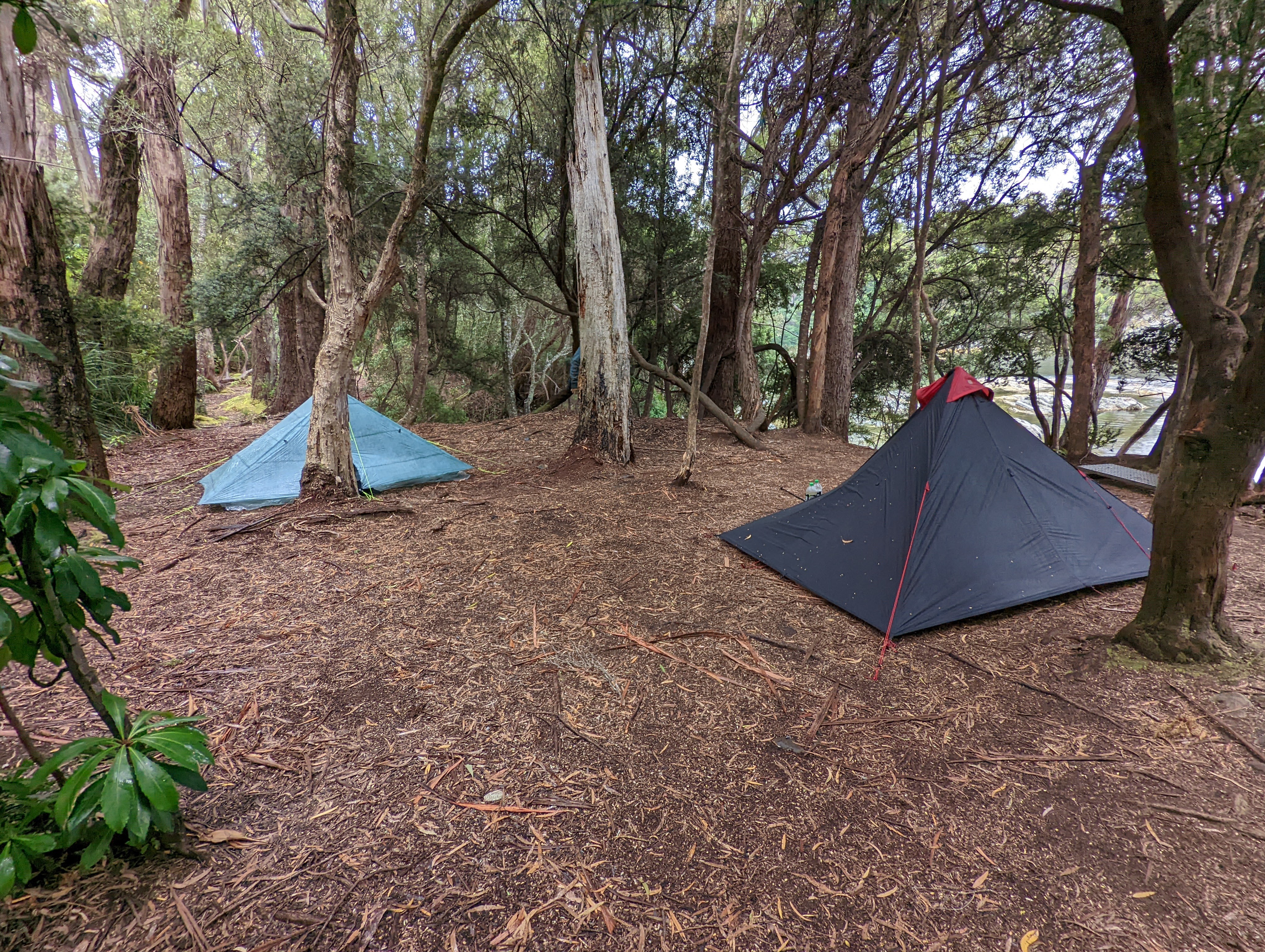
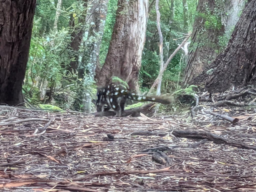
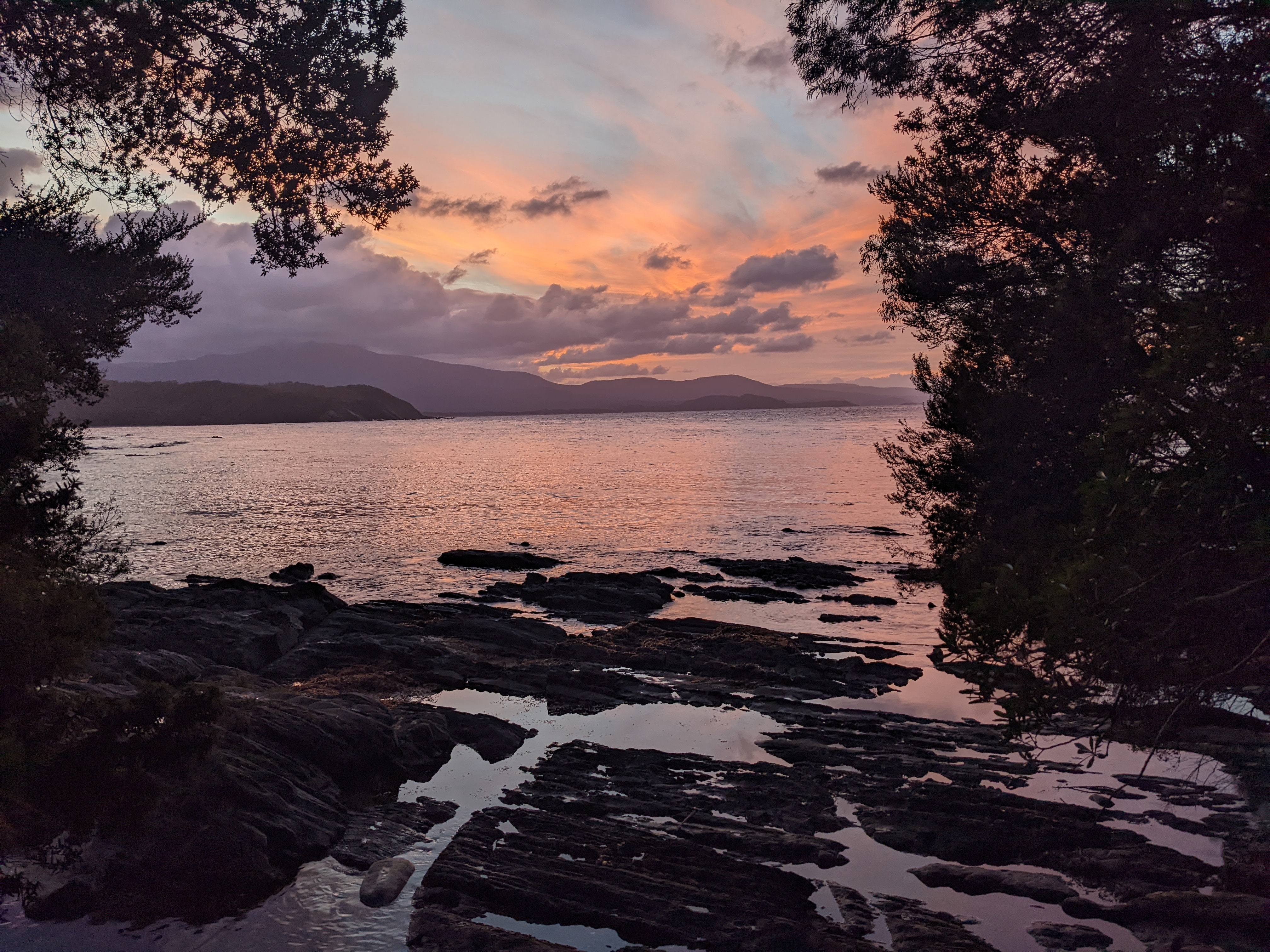
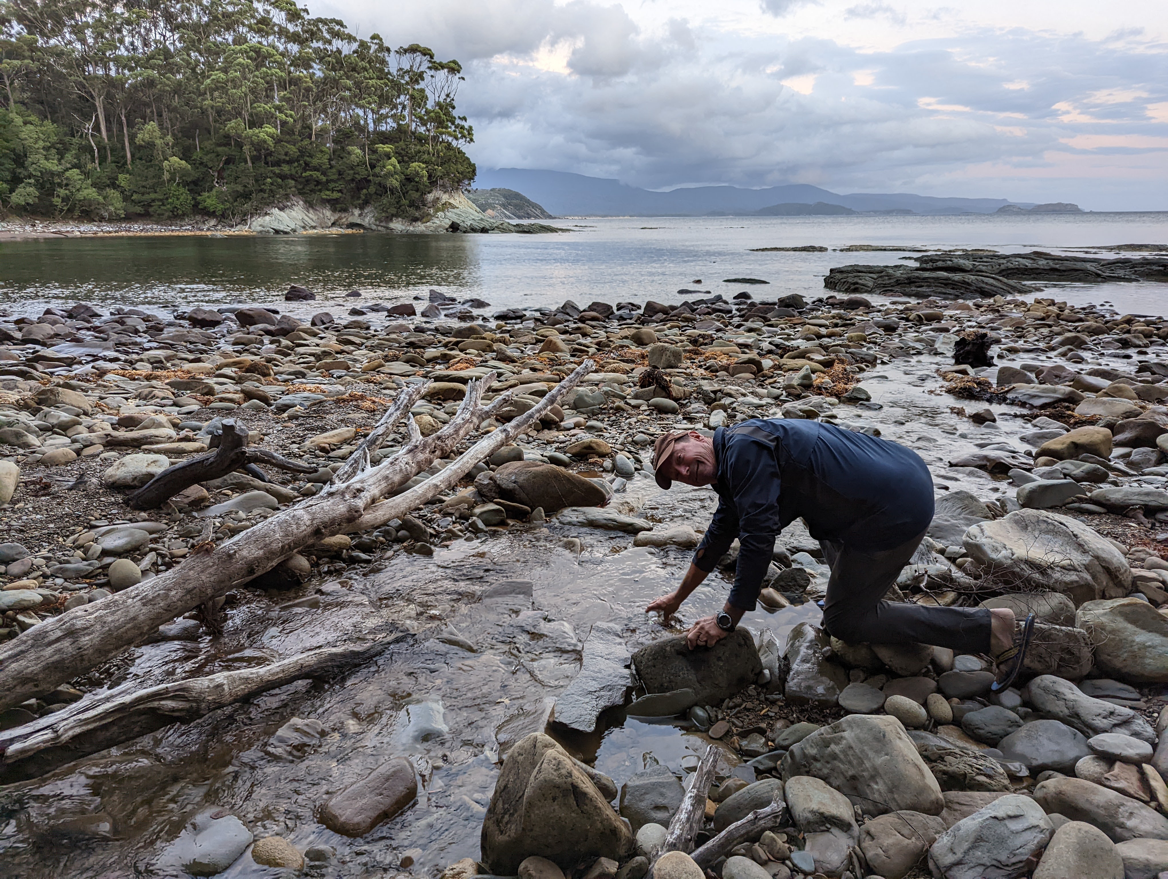
From the west end of Prior Beach we found water in a little trickle of a stream, then up and over another headland, along Tauro Beach with its fascinating rock formations embedded into the sand before settling at a campsite at Deadman’s Bay. This lovely site tucked in under the protective trees overlooked a quiet little cove and we only had to share the spot with cute but pesky little eastern quolls who wanted to share our food. It was our second night in a row without seeing any humans, just as we like it.
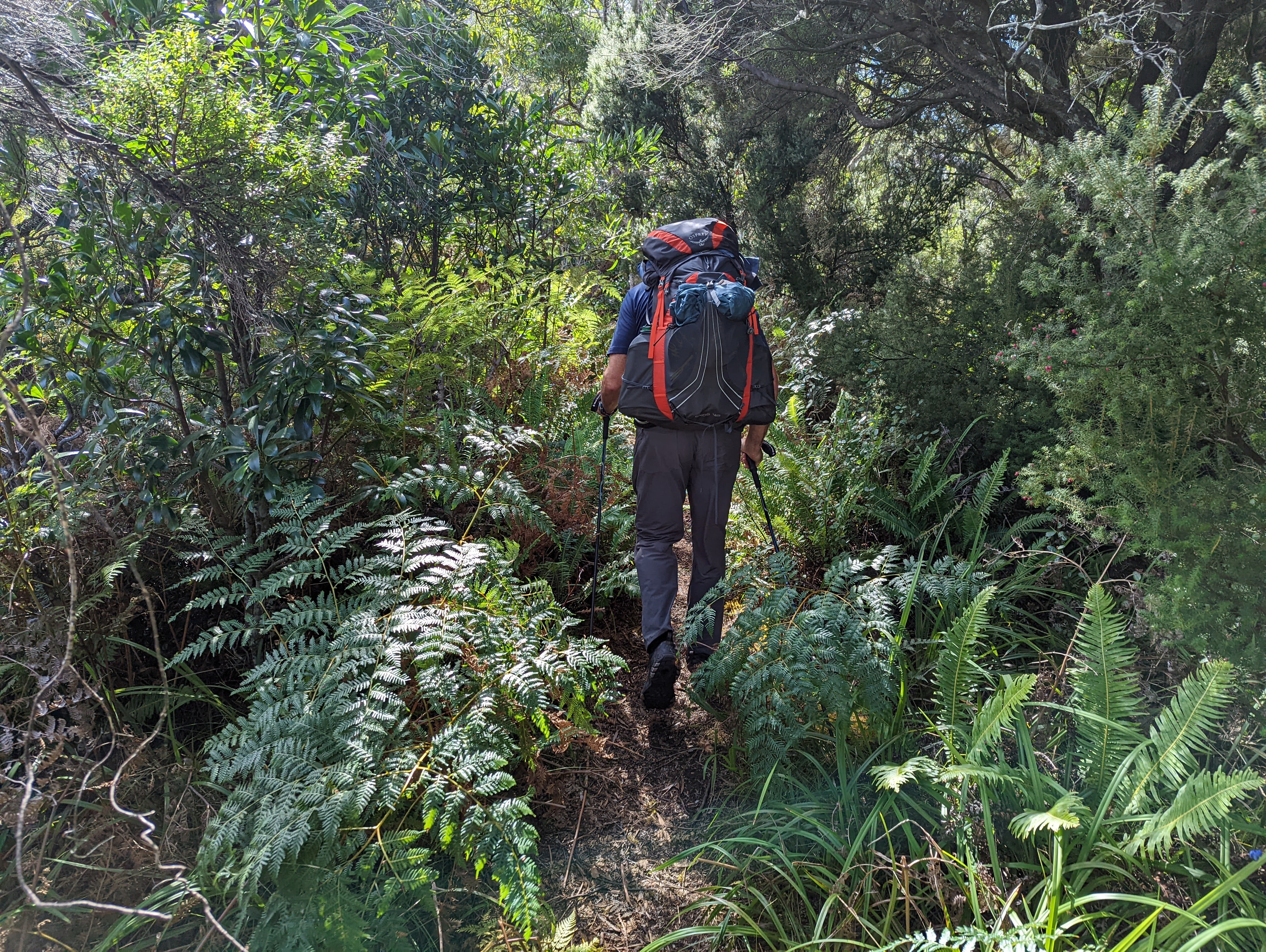

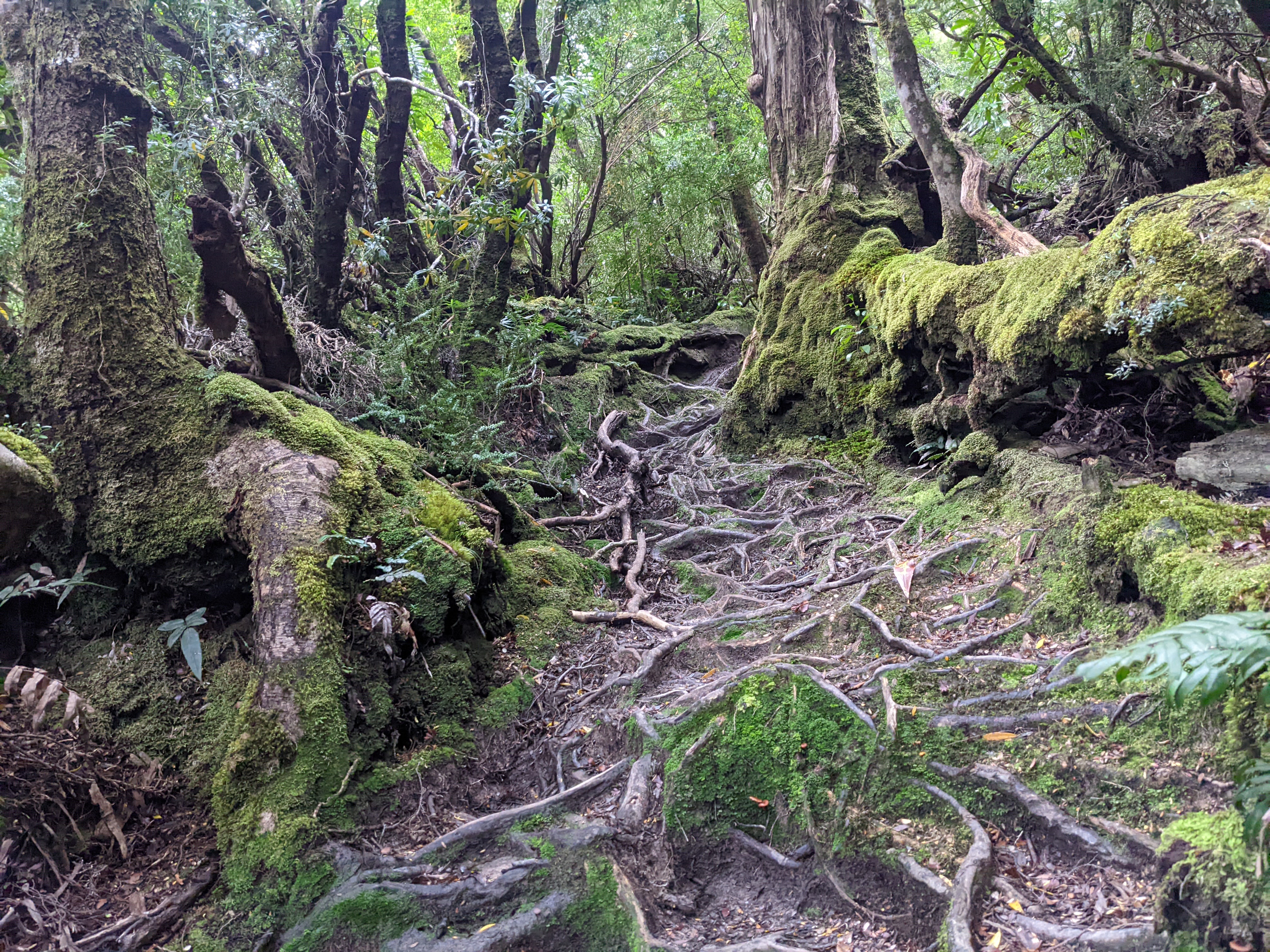
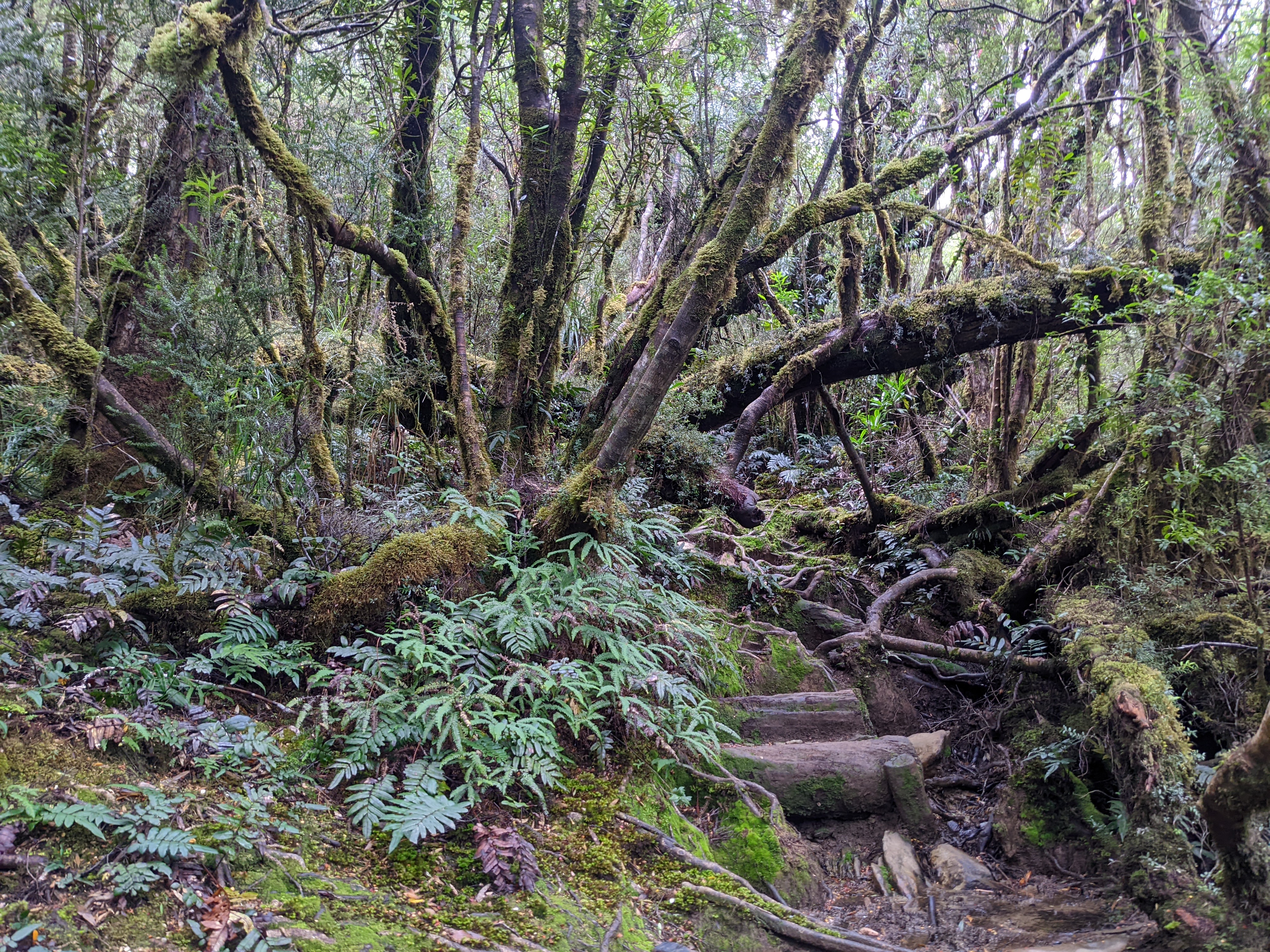
But the Ironbound Range loomed ahead of us and the next morning we set off to conquer it. After an ominous overnight rain and a misleadingly flat easy start, the trail started heading straight up the ridge through thick tangled rainforest, every step a challenge as we had to negotiate deep mud, tree roots, fallen trees, slippery rocks and a relentless vertical climb.
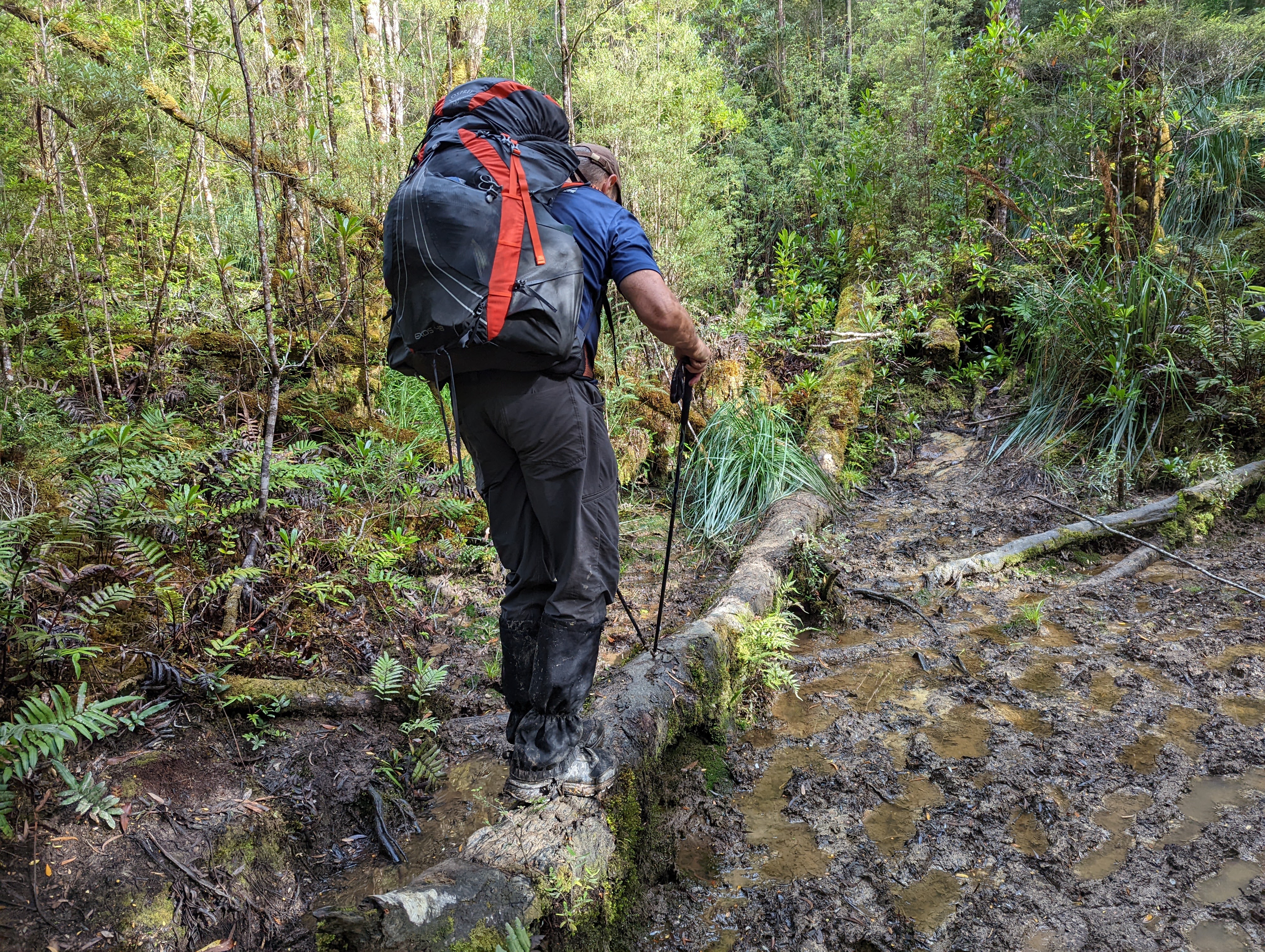
This was hand to hand combat with the track, every step a victory of hard work. There were no scenic views, no panoramic vistas, nothing to distract us from our task. This was head down, place pole, foot forward, place pole, foot forward, climb, duck, slosh, repeat.
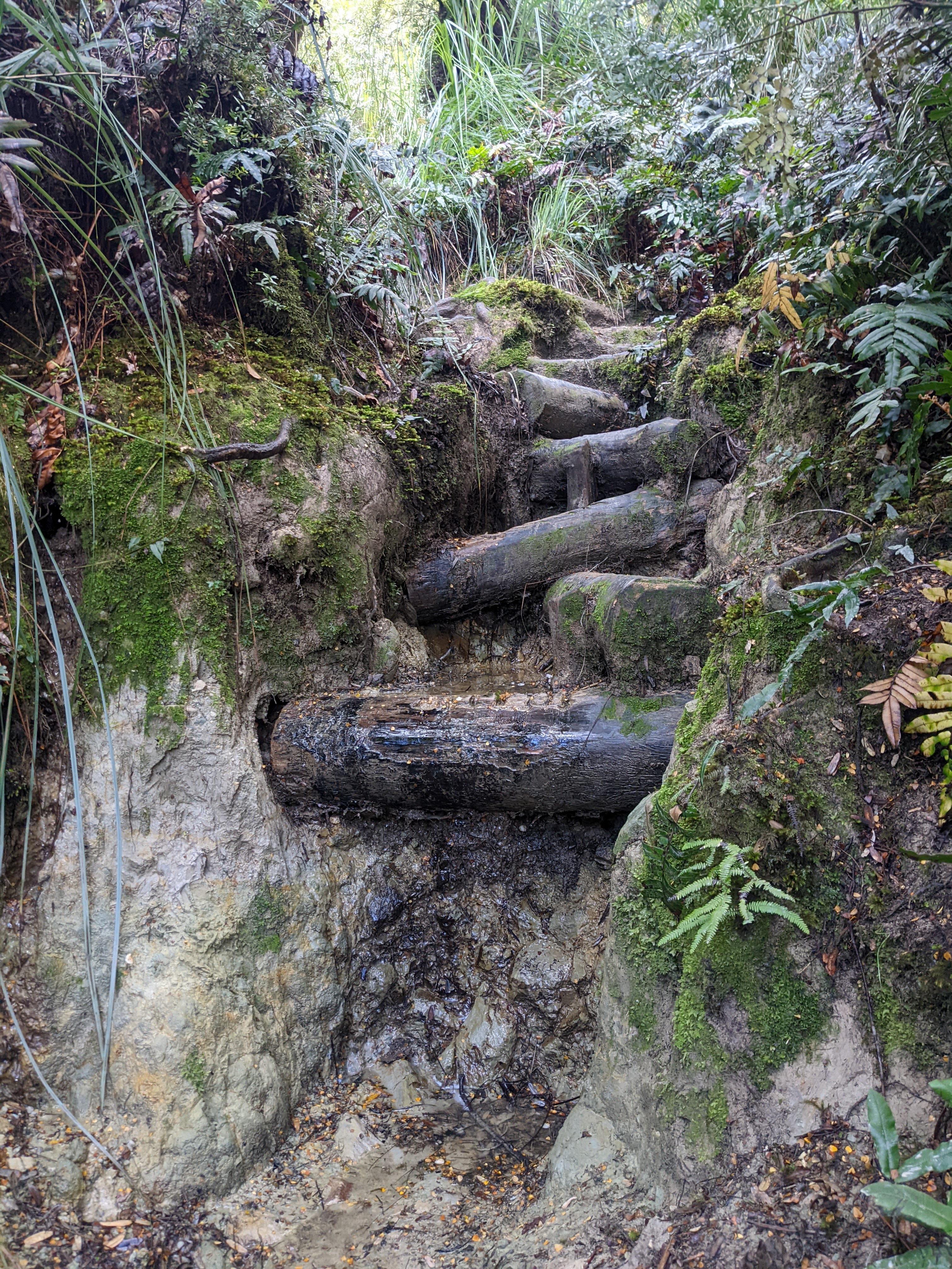
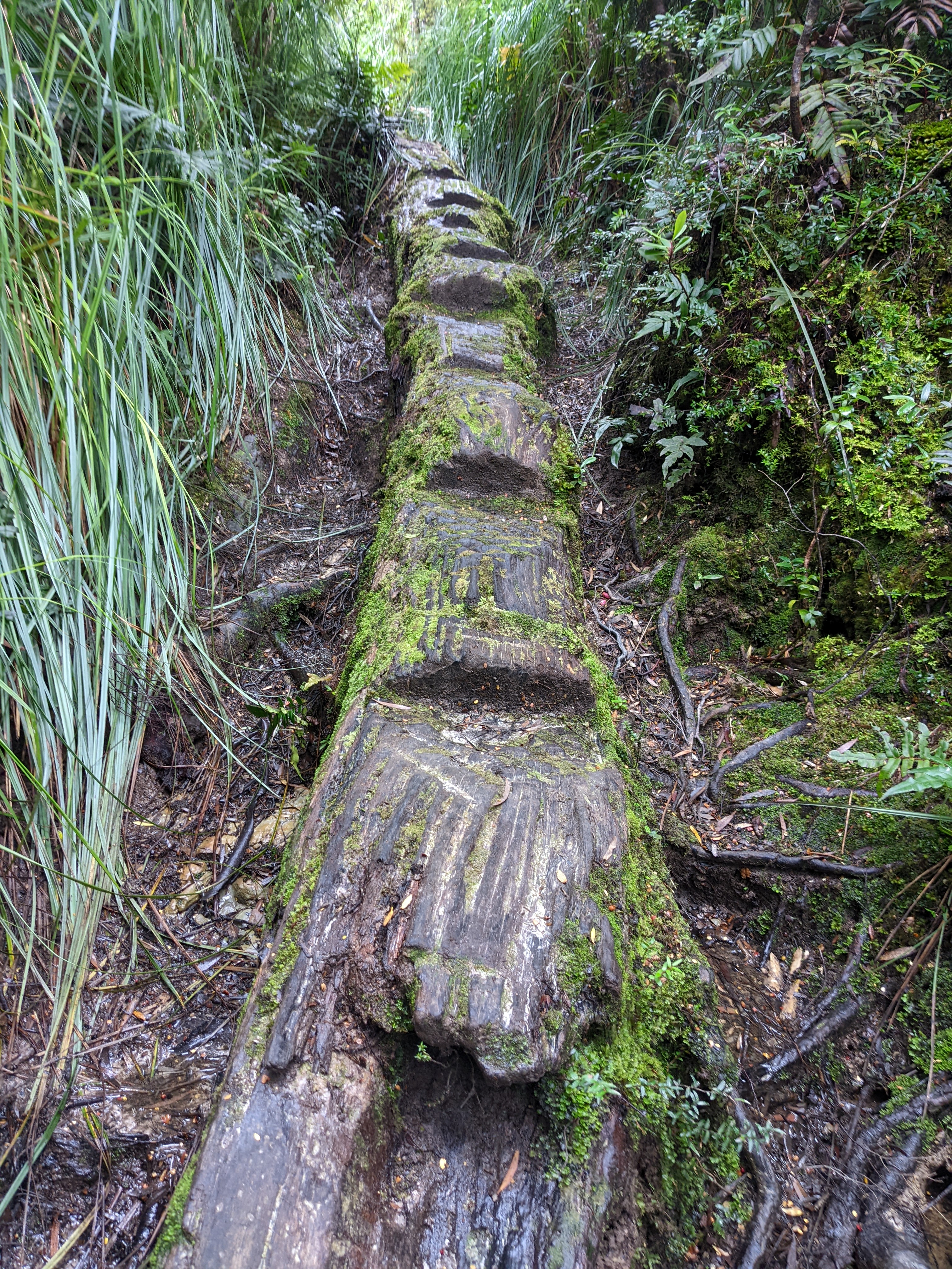
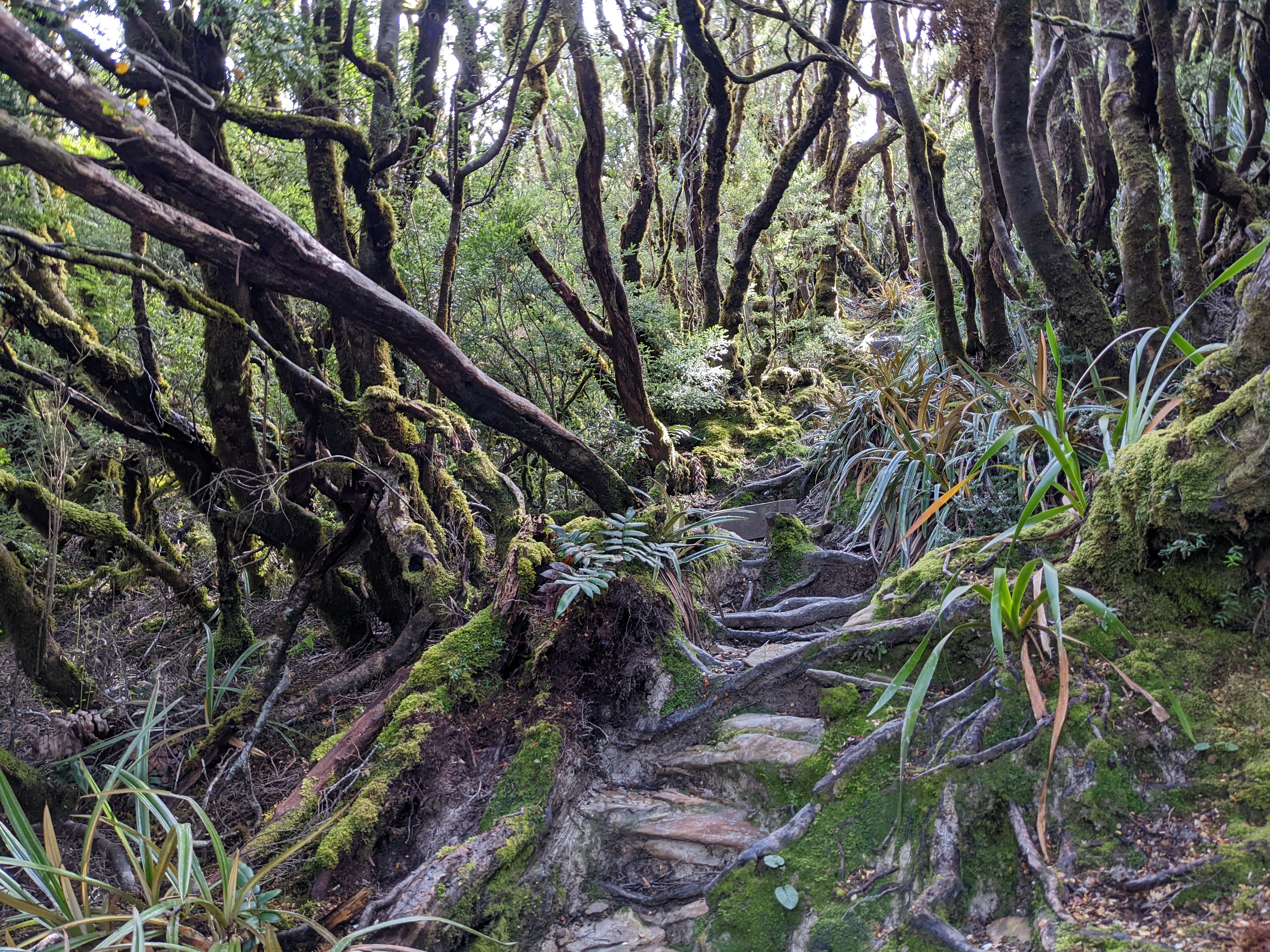
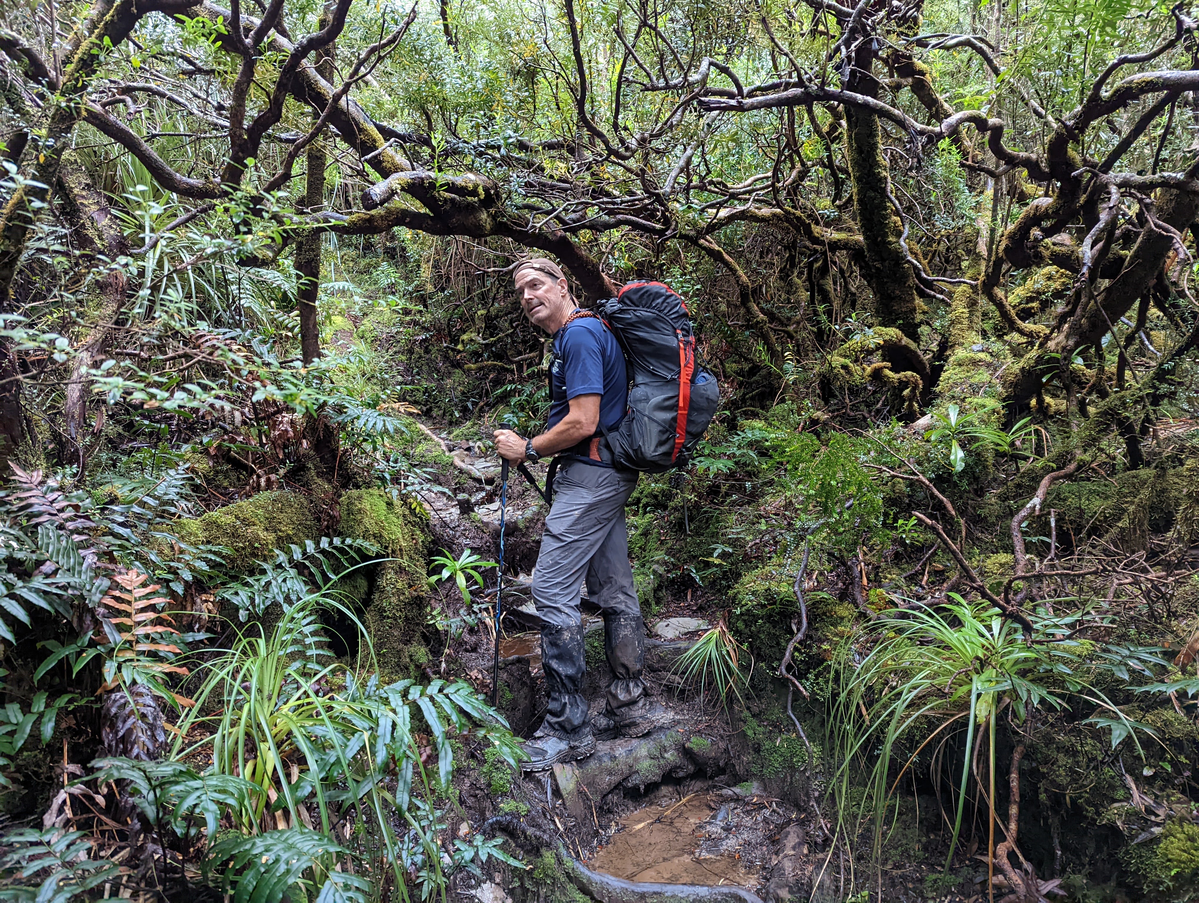
Slowly, over the course of the next six long tough hours, with the two hours in the middle being the absolute worst, we conquered the beast and popped out above the tree line to take in the first of the magnificent views from atop this range.
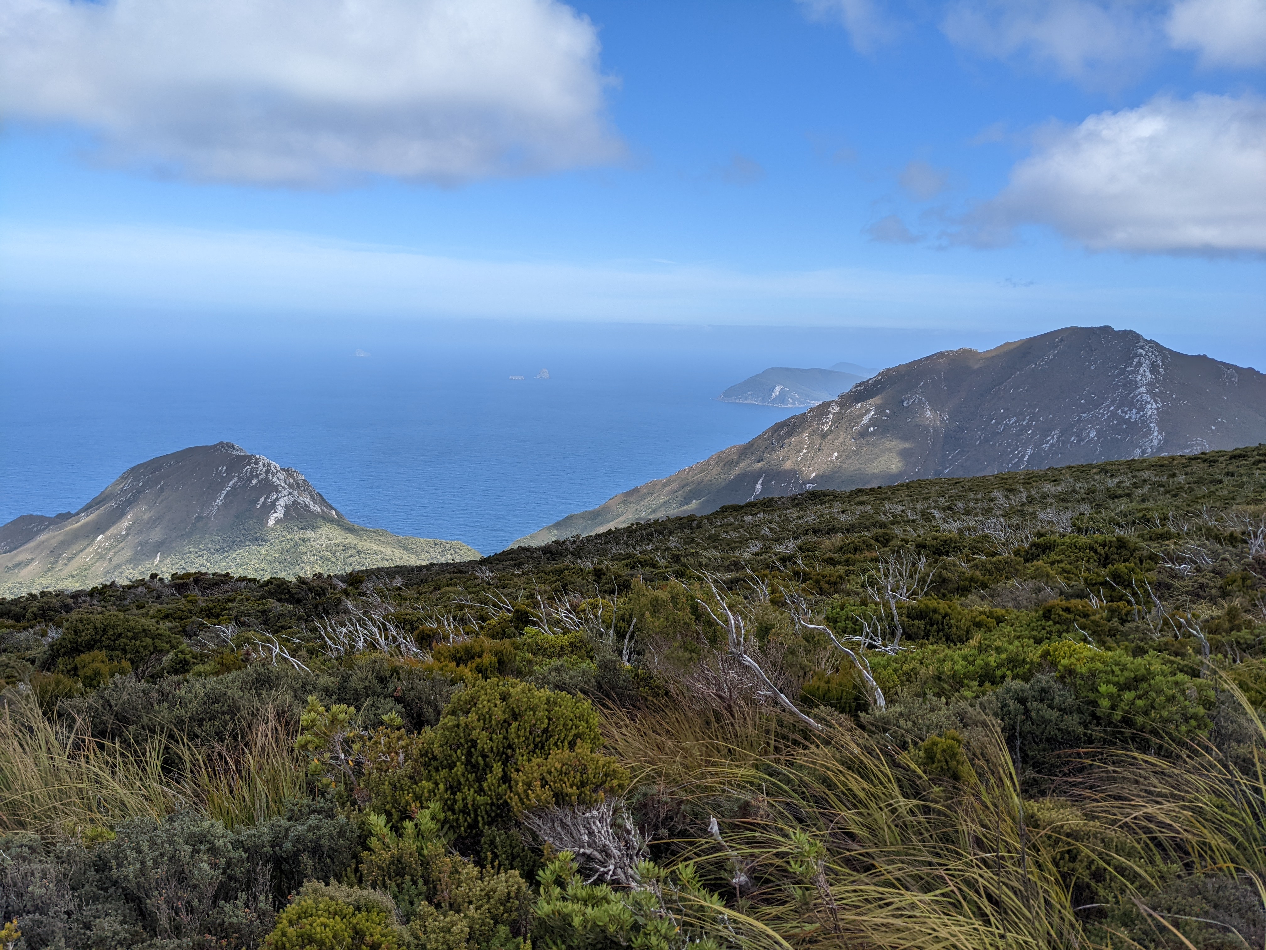
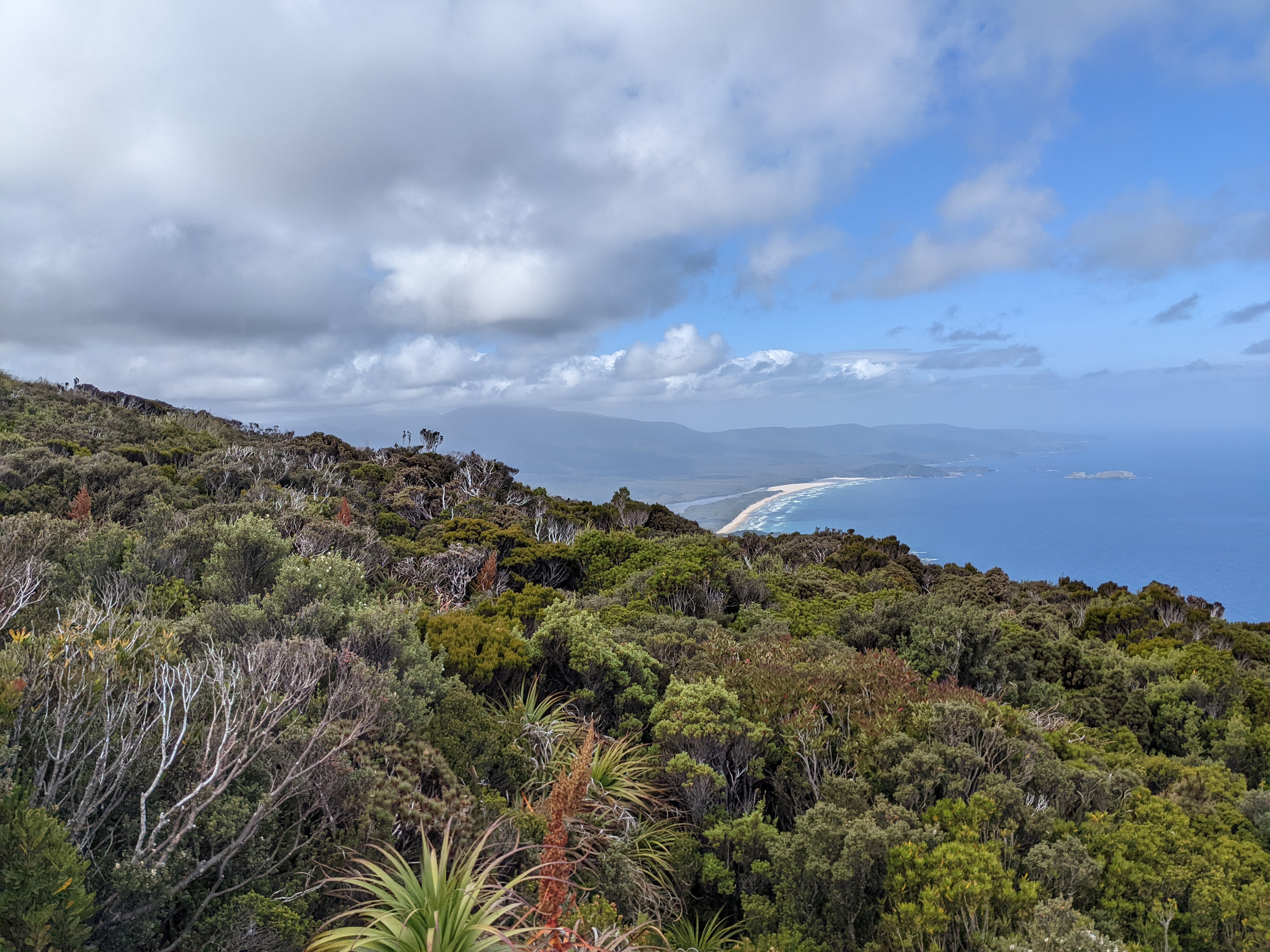
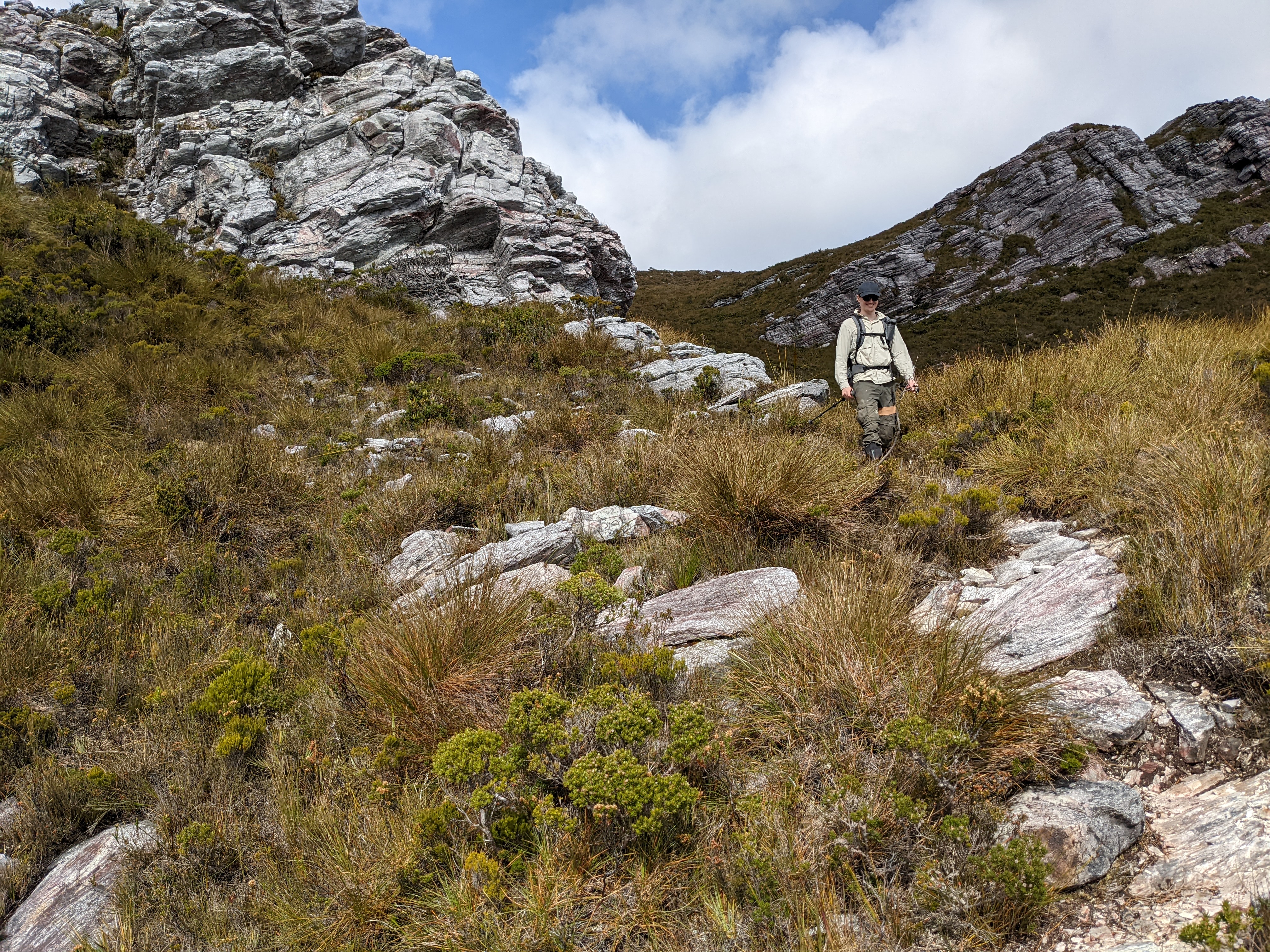
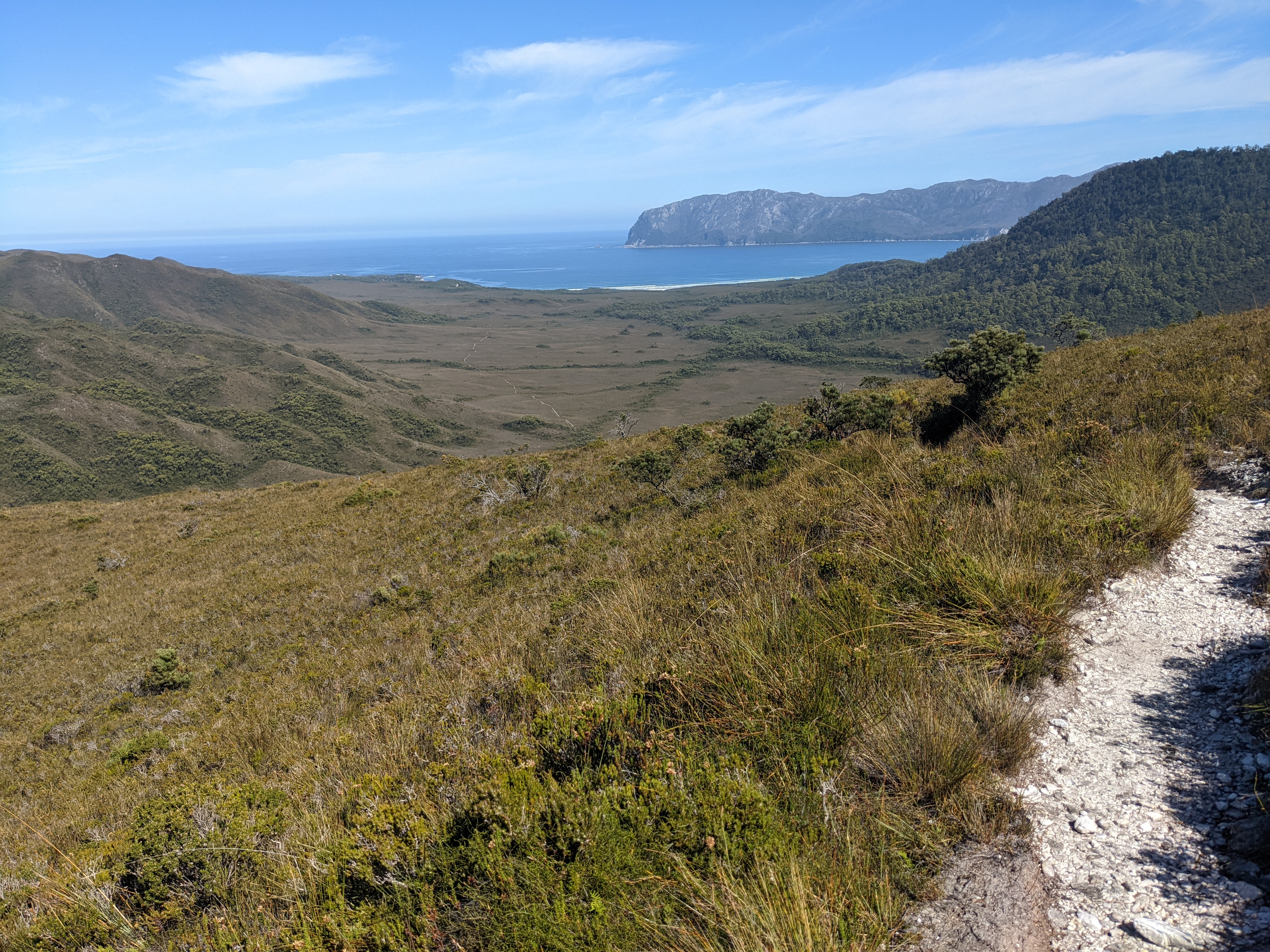
We had read that the top of the range can offer up howling winds, horizontal rains and even snow. A young walker we had met earlier said she was literally blown off her feet and rolled down the trail by the wind. But when we emerged from the thick rainforest we were greeted with mostly blue skies and barely a hint of a breeze. And as we covered the open alpine heathland of this exposed mountain we finally hit our summit and had our first views of the walk further up the coast.
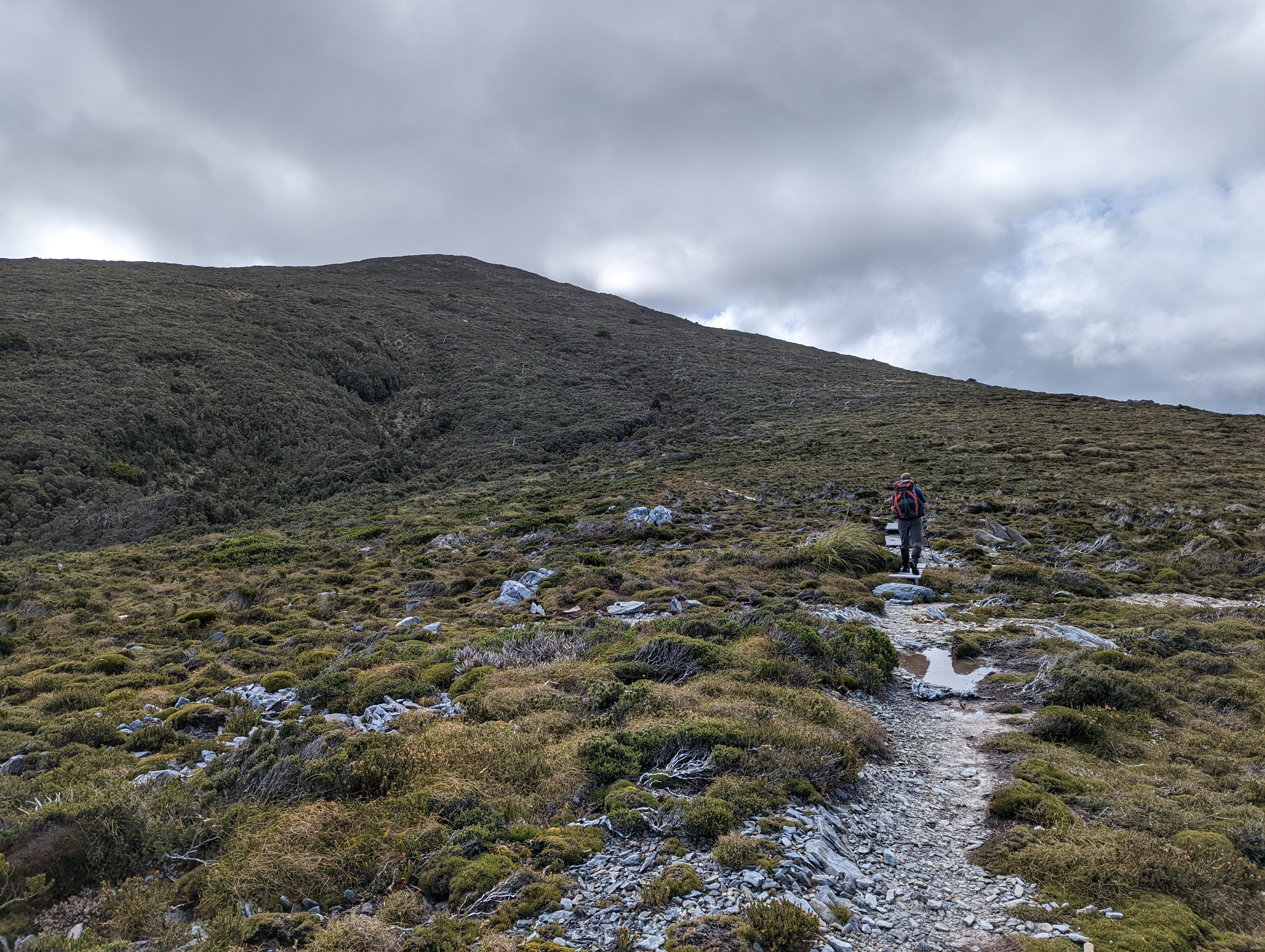
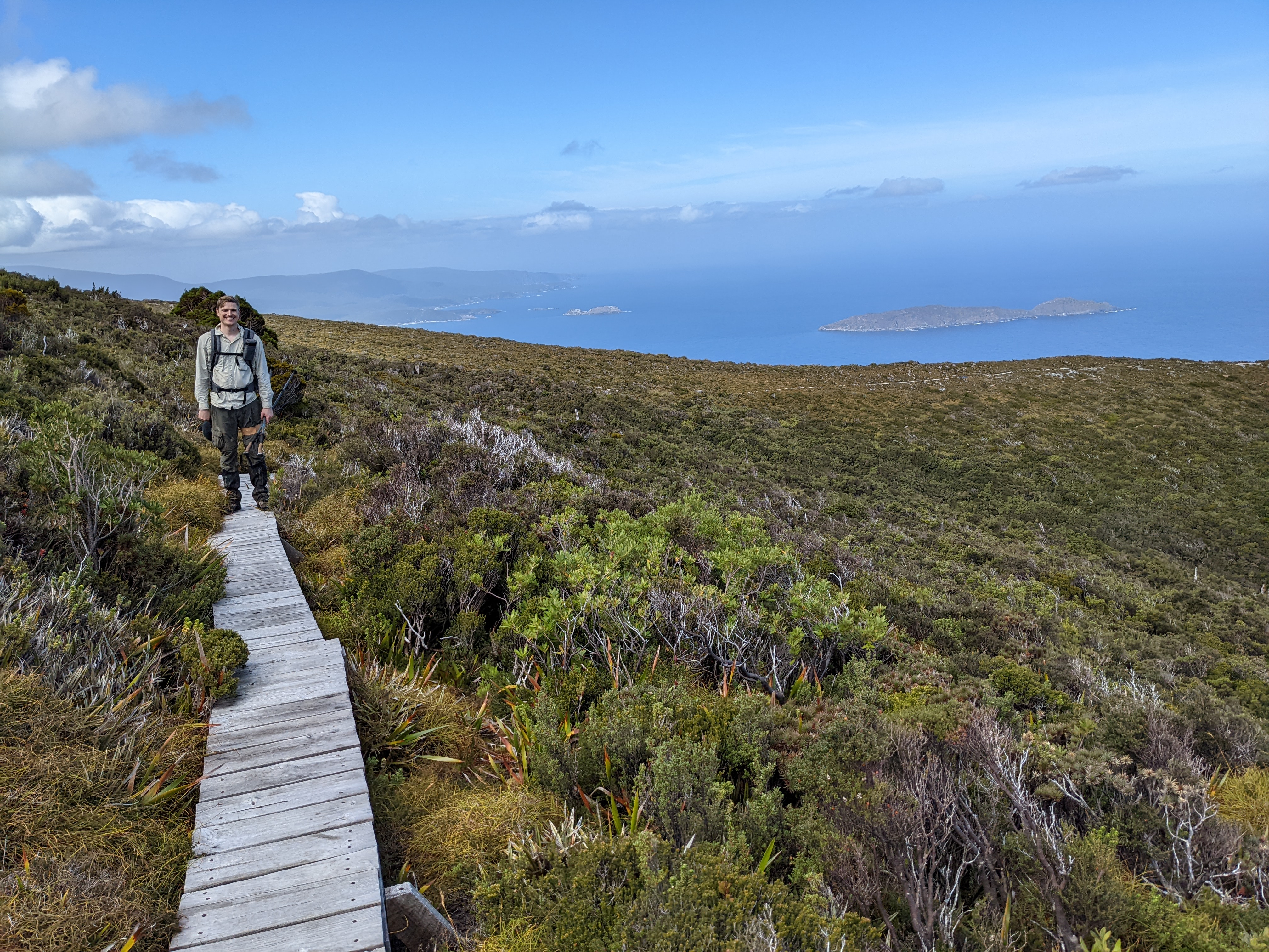
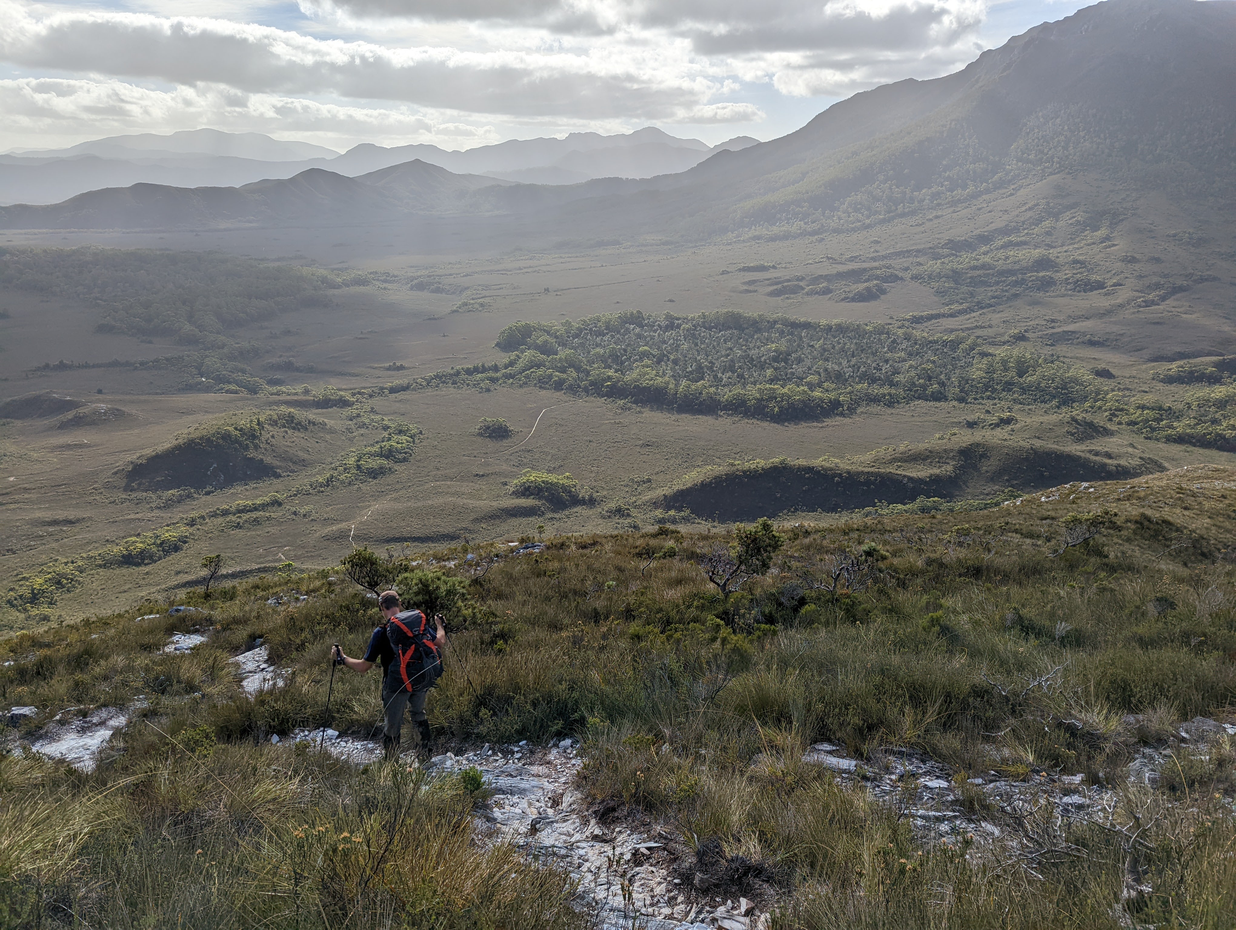
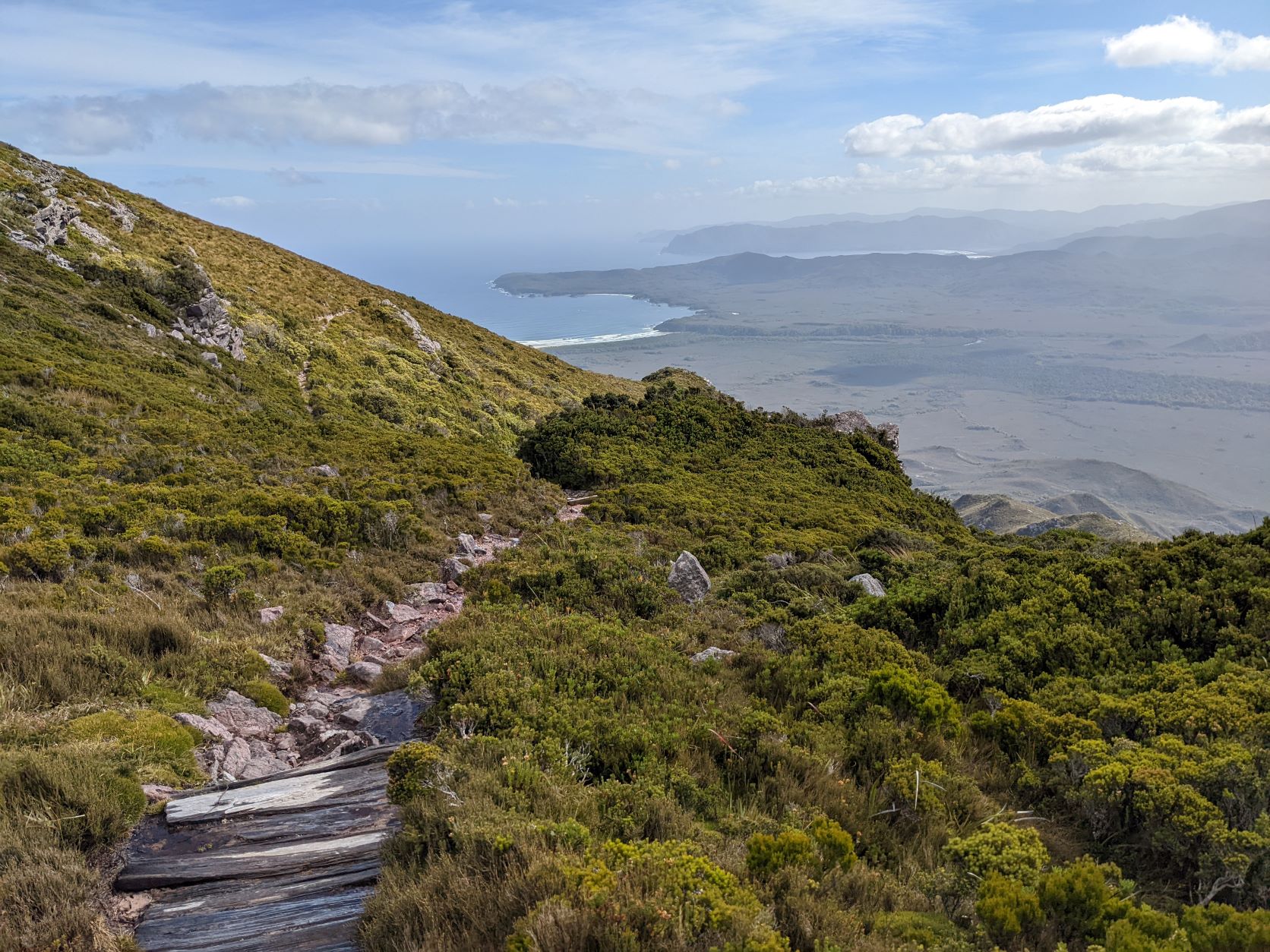
Incredibly, if we looked eastward from where we had come we could make out all the beaches and headlands and the distant Cape Range we had crossed the previous four days. By turning our head westward we could see our track going down the exposed side of the mountain, the river we would be camping on that night and the beach in the far distance we would spend our last night. We could literally see our entire journey from the top of the Ironbound Range.
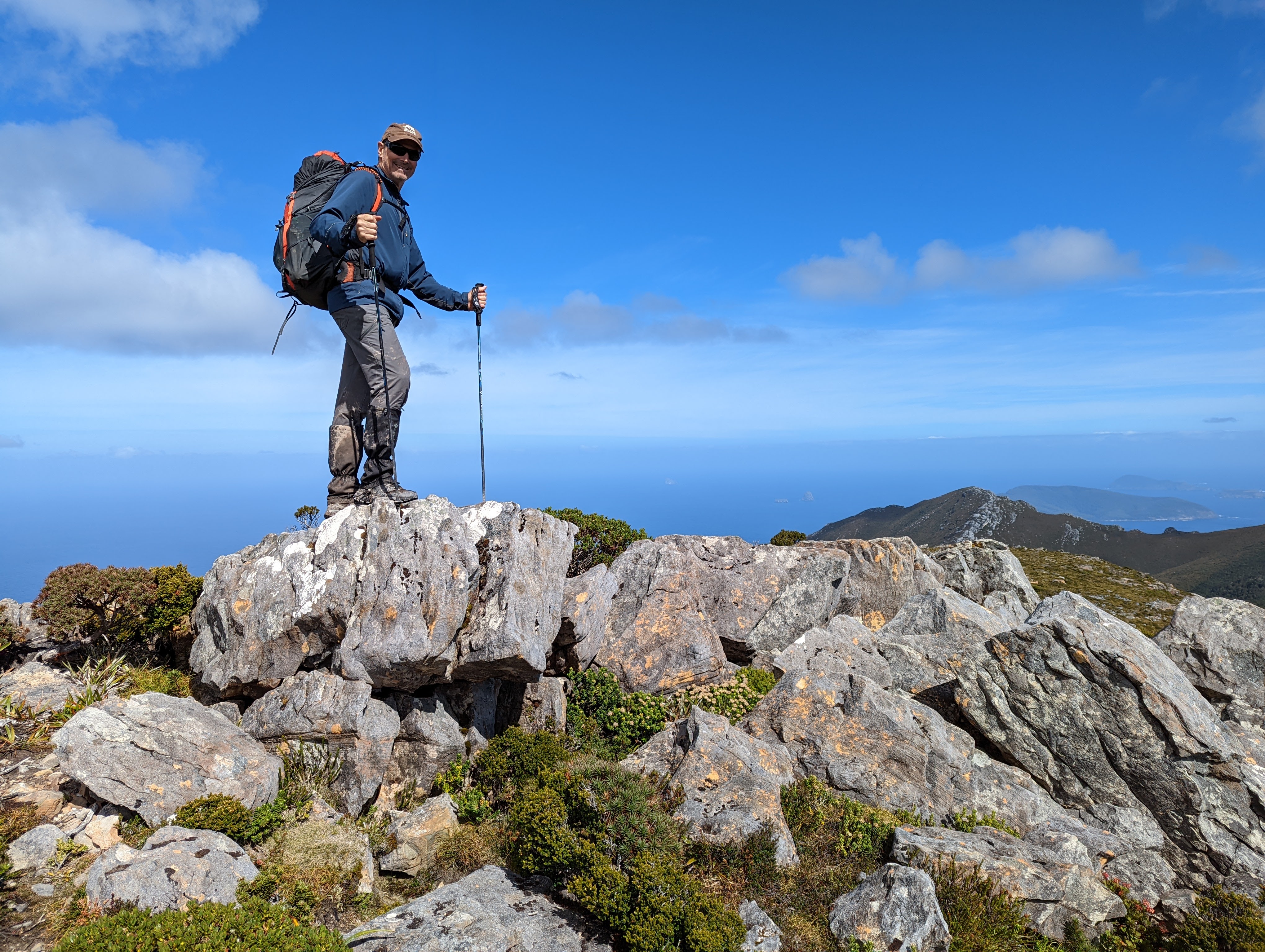
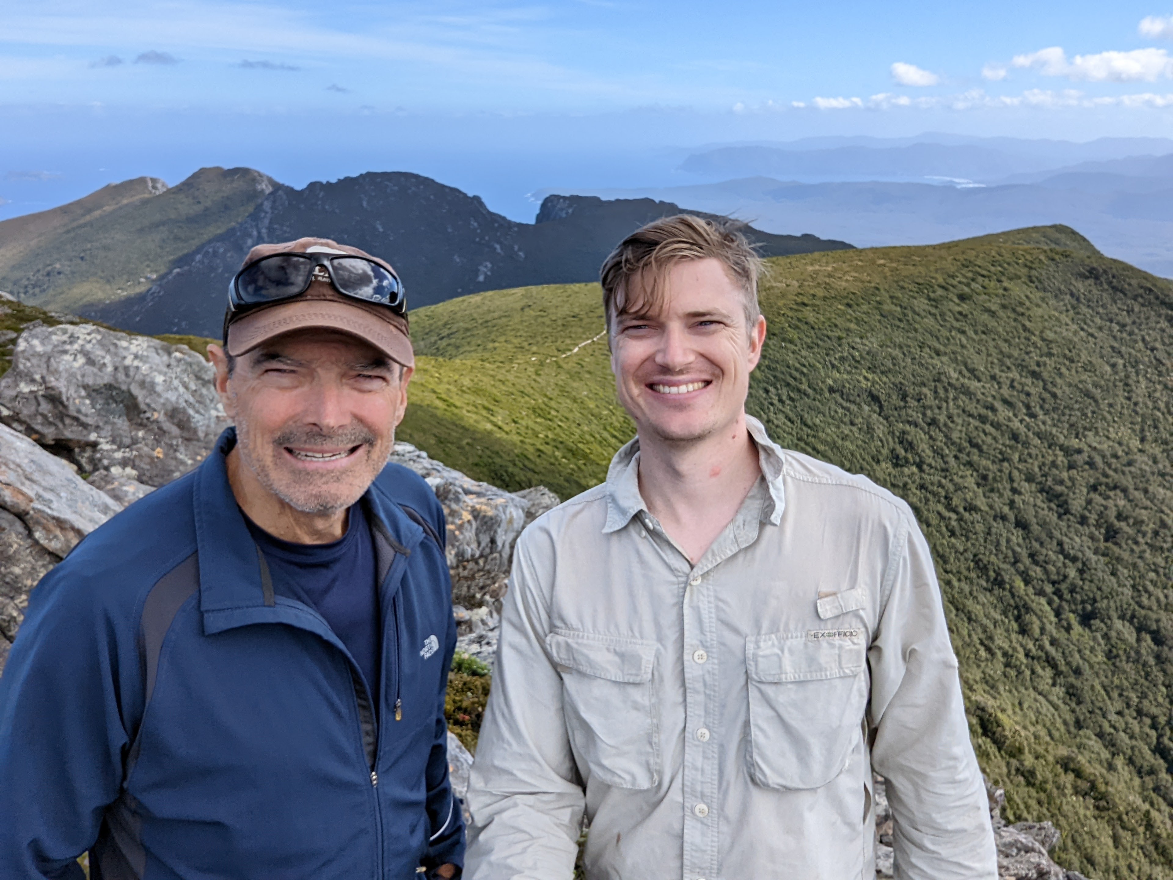
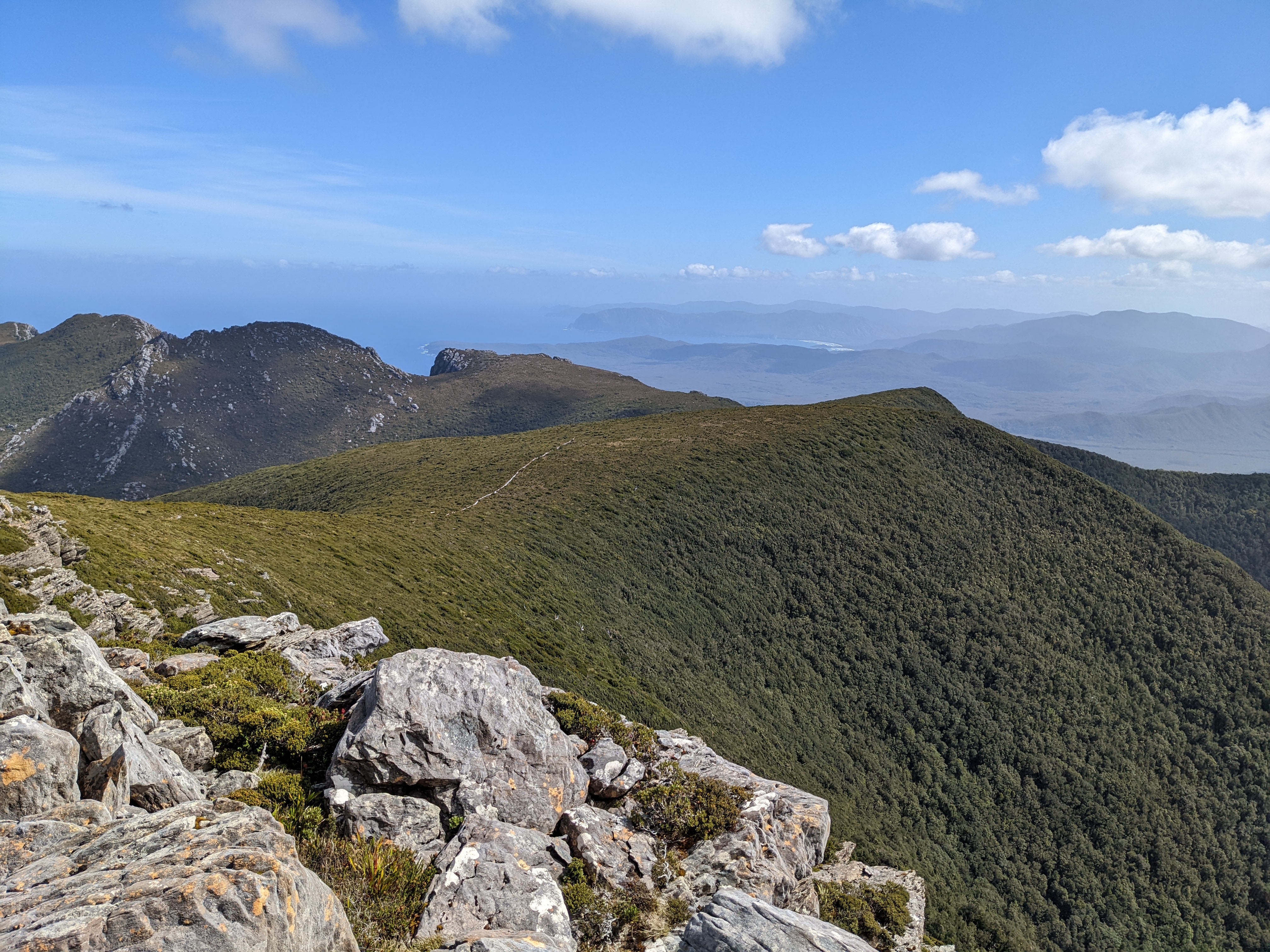
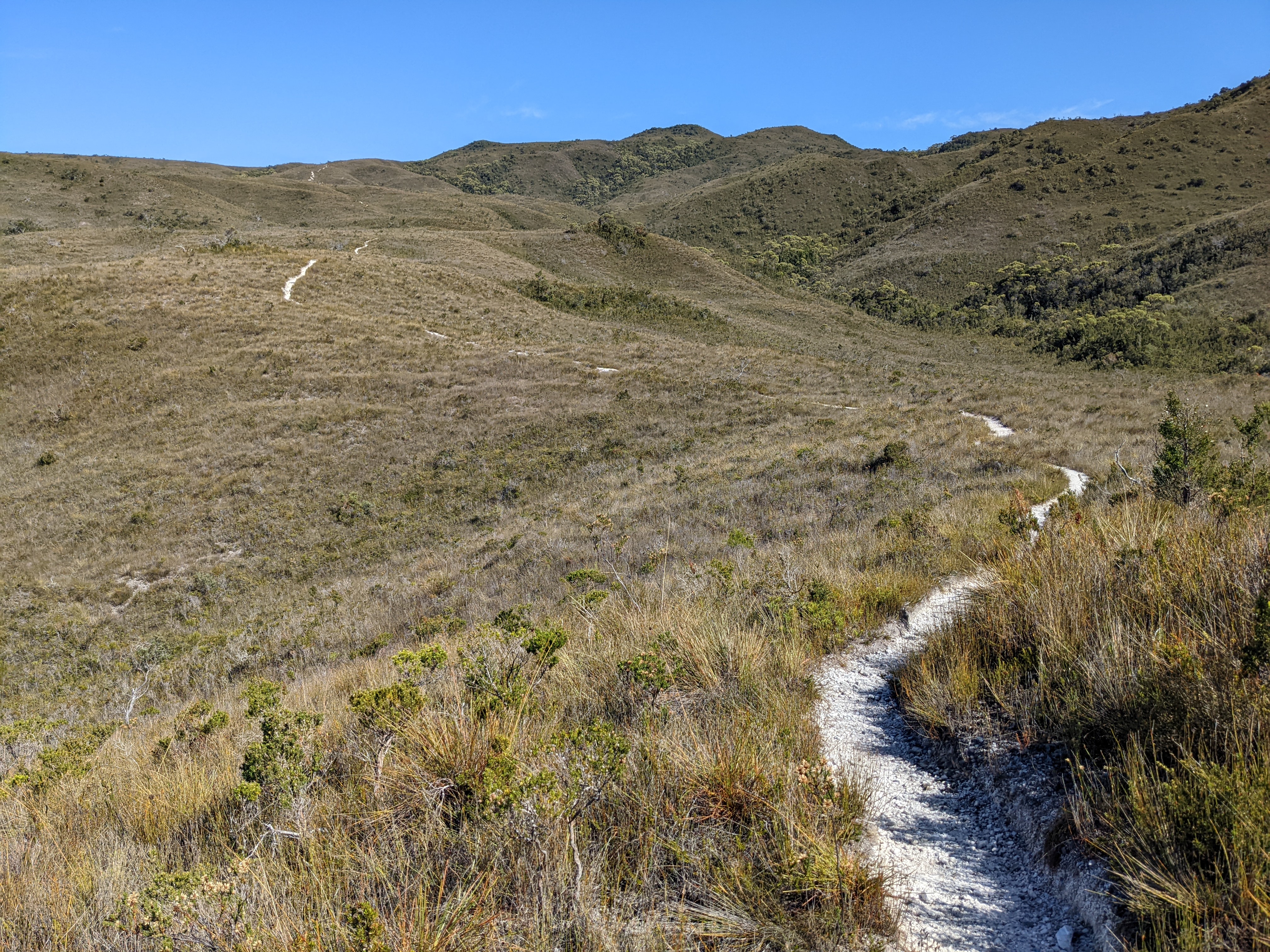
After a celebratory snack, pats on the back for our wonderous achievement and a few extra moments to savour the majestic views all around us we followed the track slowly down the steep slope. After working so hard to get up to the top I managed to lose concentration and fall three times on the way down. Still, there was plenty to distract us, the views were mind-boggling and to see our trail snake its way across the exposed western side of the mountain to the valley far below was really special.
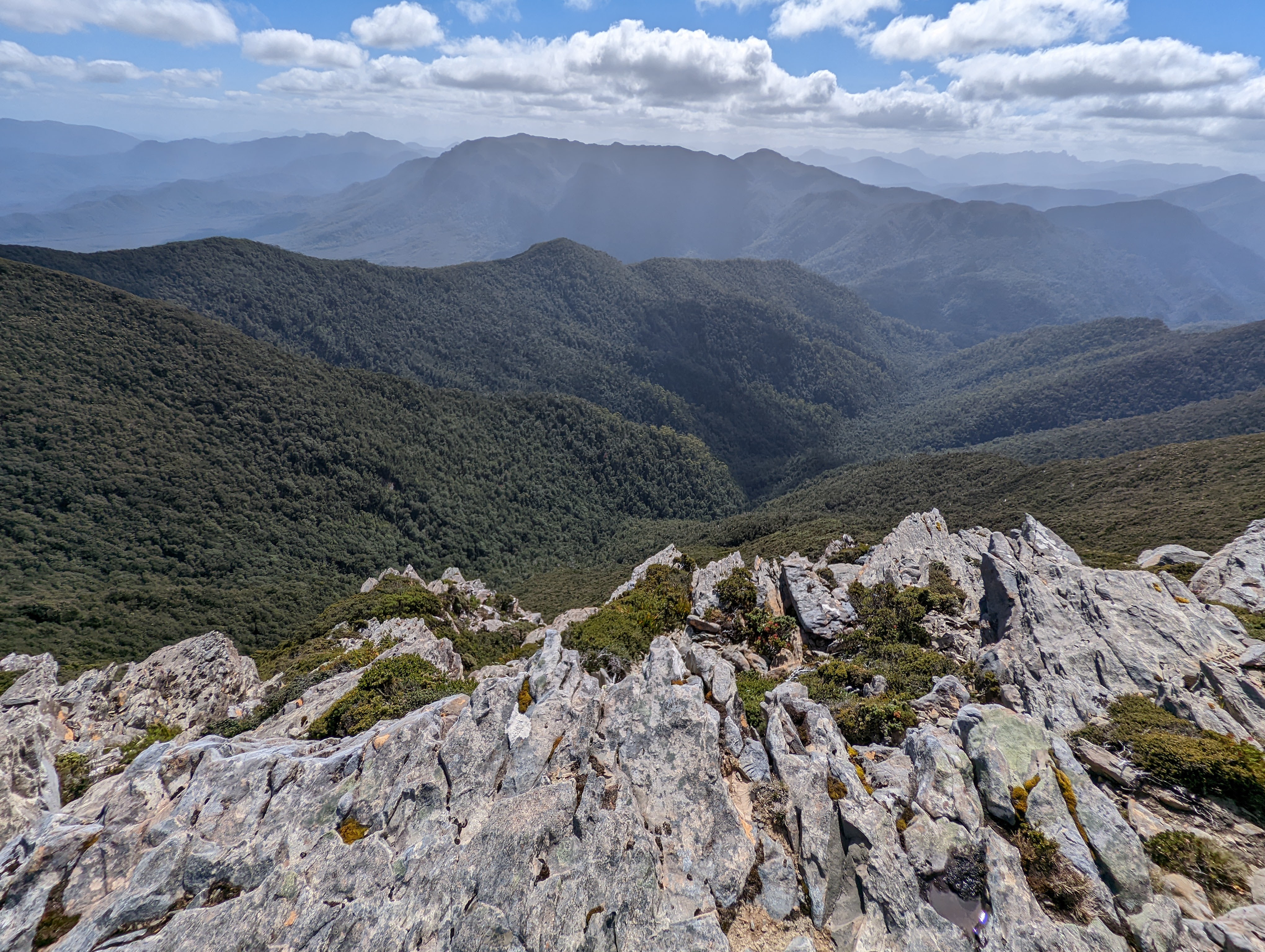
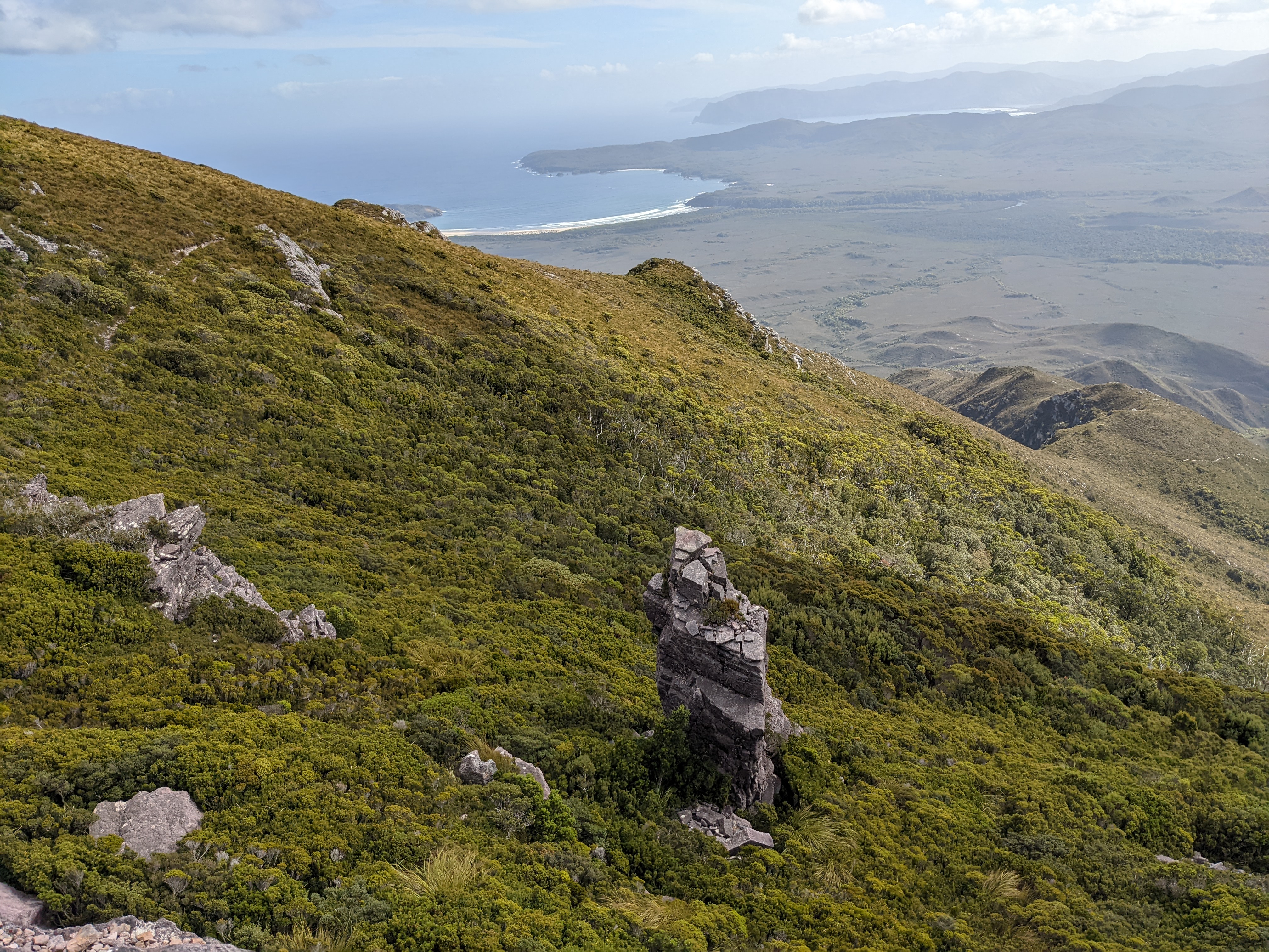
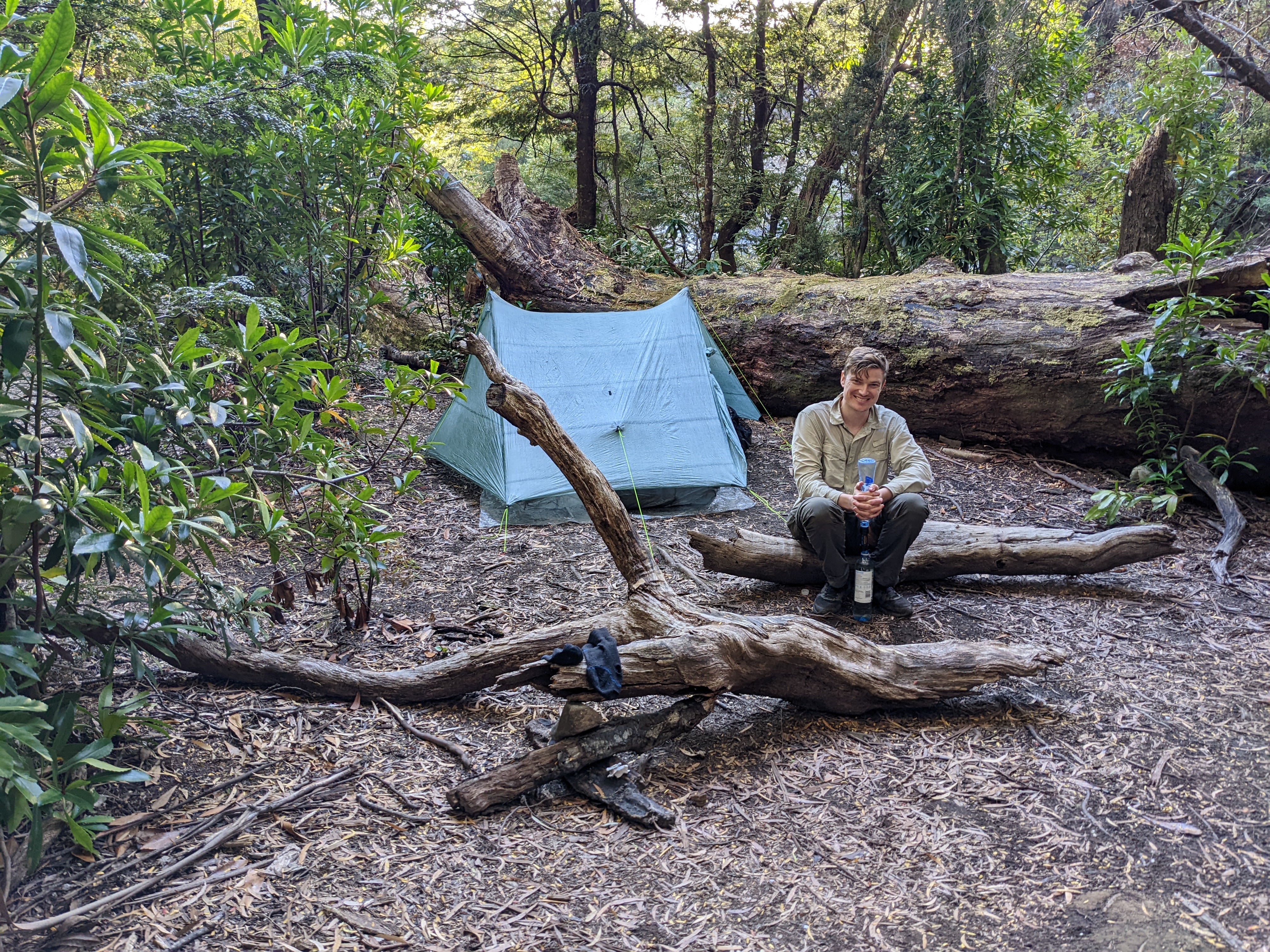
After pounding our knees, seeing a little black snake, negotiating steep steps and soaking in the fabulous views we finally made the valley floor and set up camp in a bend of the gentle Louisa River, shady gums all around. It had taken us nine hours to cover the 12 kilometres up and over the mountains. Will and I knew we had done something special together and even though we were completely buggered we had a huge smile on our face.
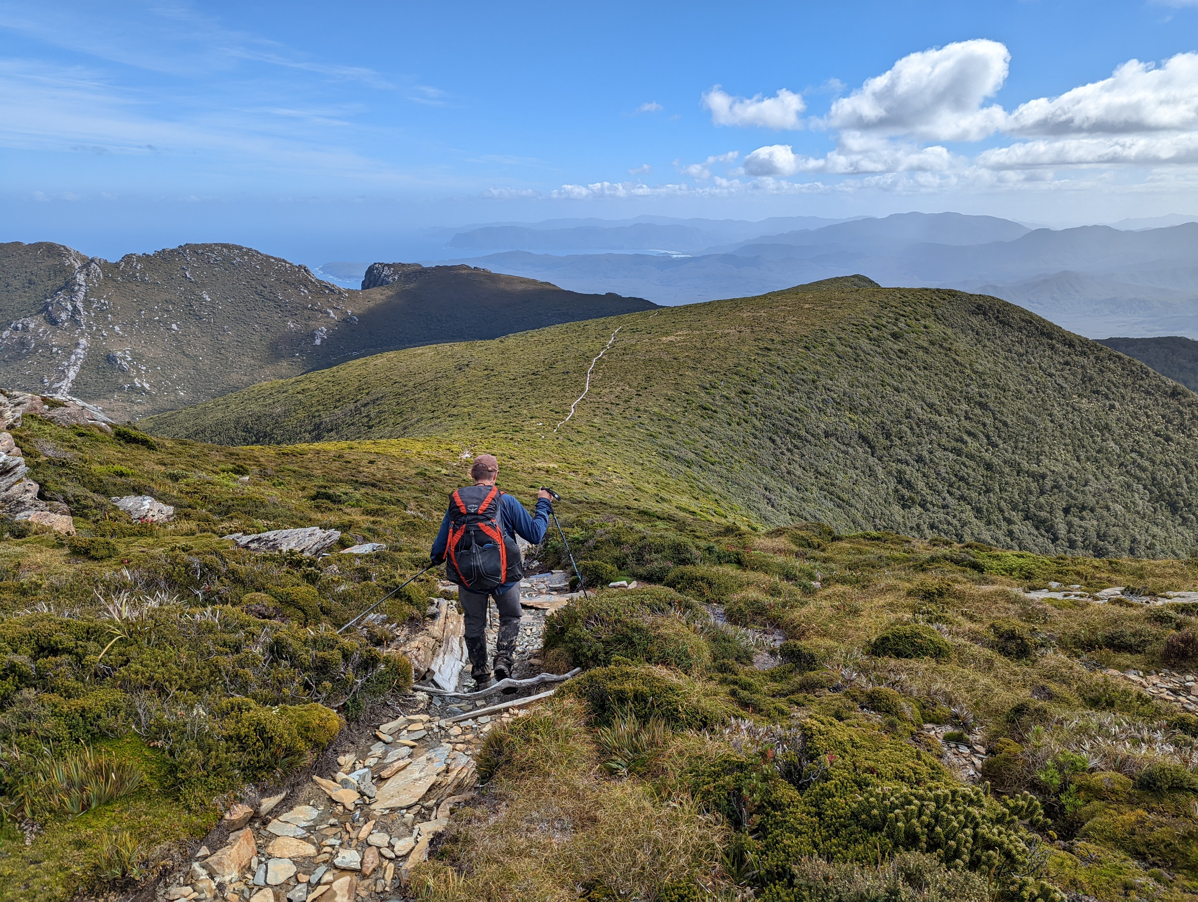
The next morning, after having fought off more quolls who in the dark of night seemed determined to eat our precious muesli bars, we filled our bottles again, slapped on sun screen and headed across the open button grass plains for our longest day of the walk, about 17 kilometres. Standing between us and our final campsite at Point Eric in the middle of Cox Bight was the Red Point Hills with a saddle of about 250 metres high.
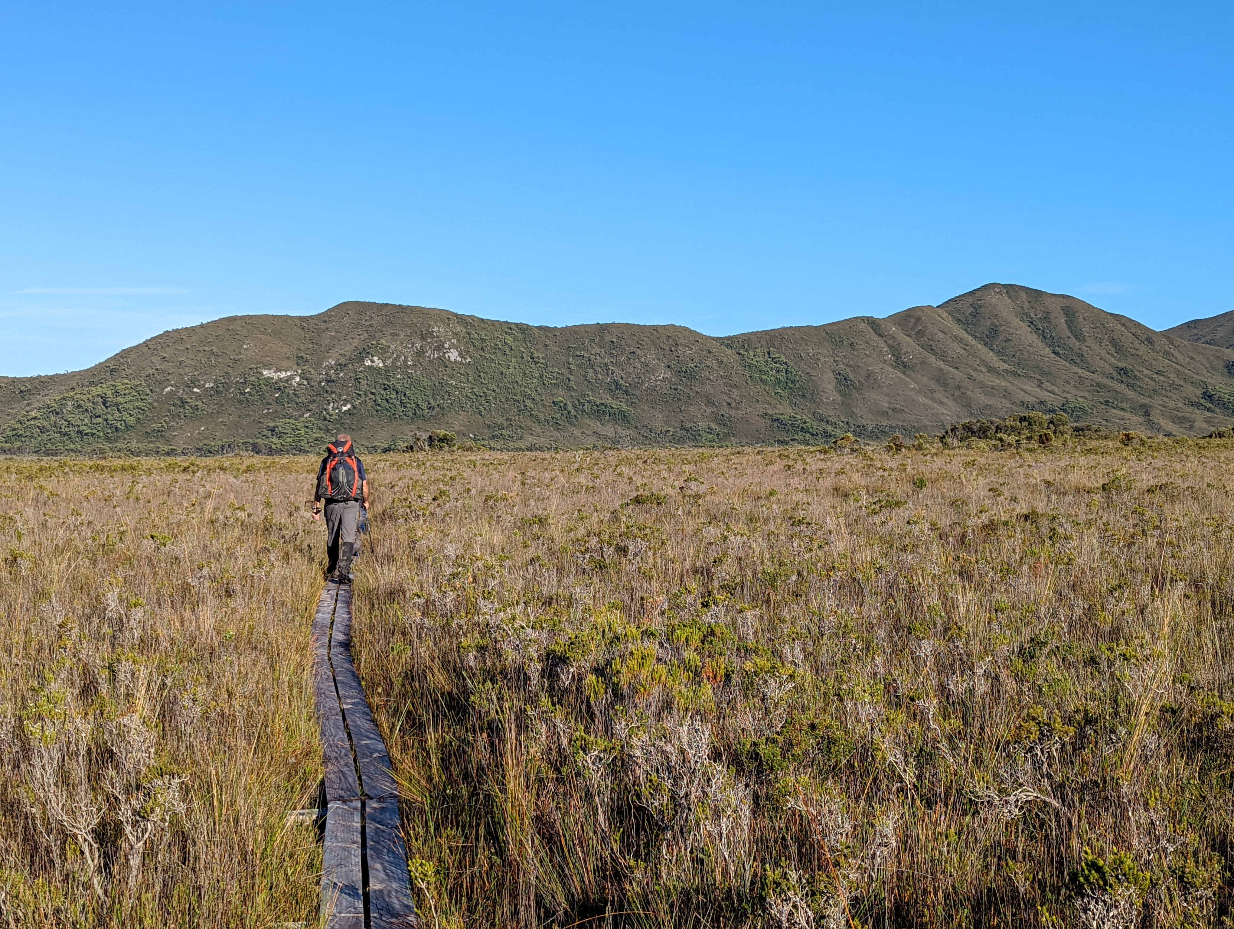
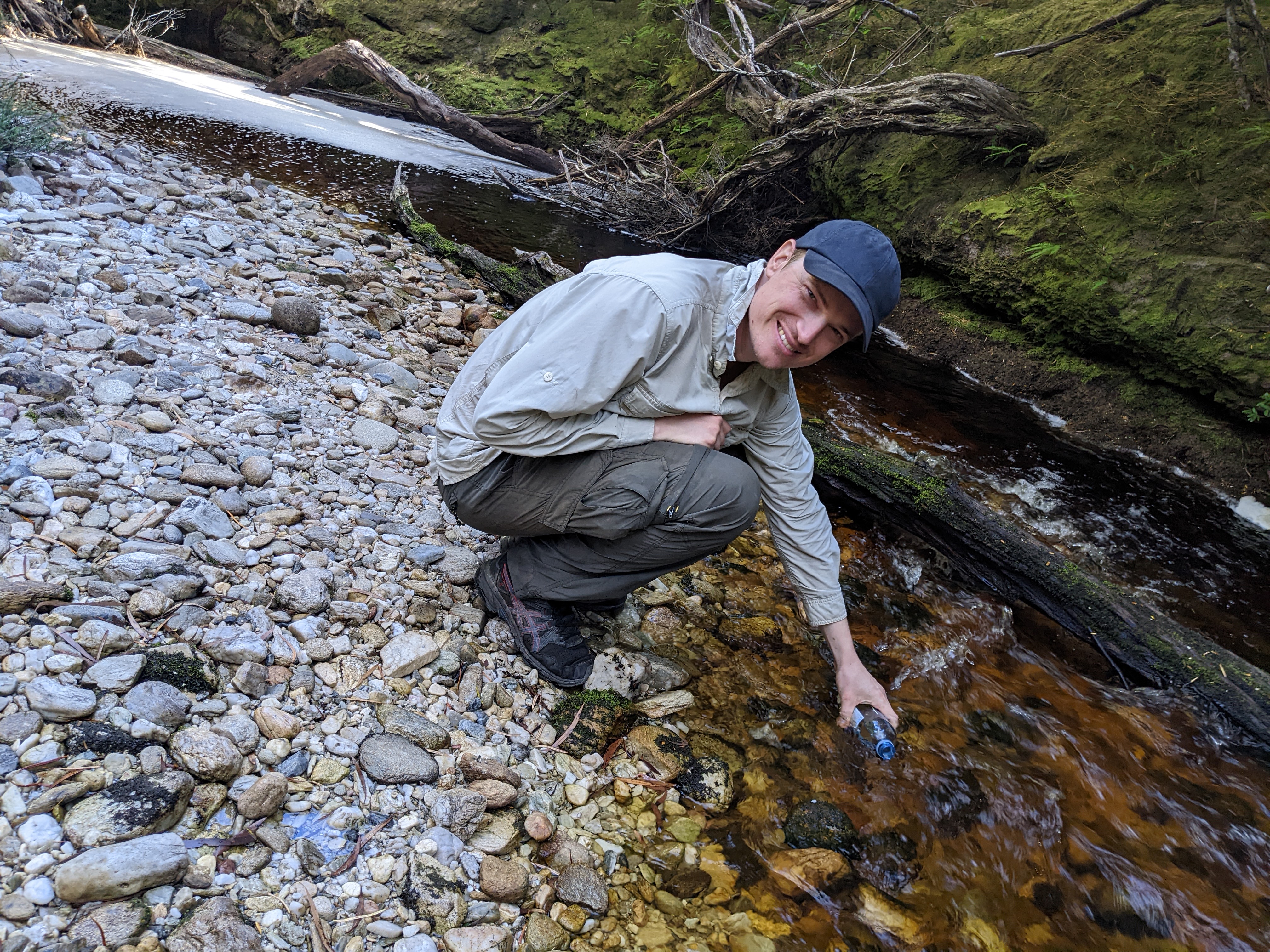
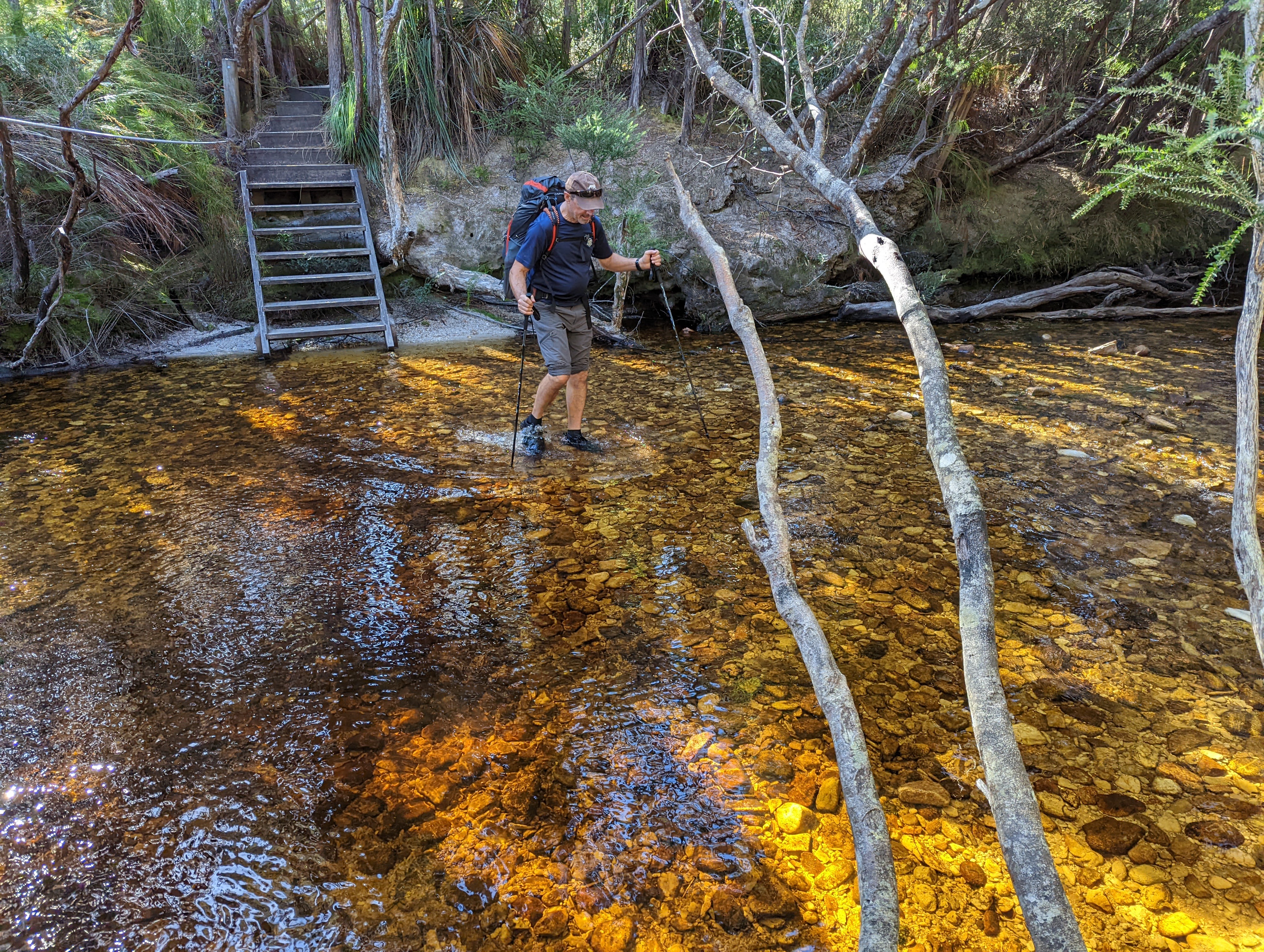
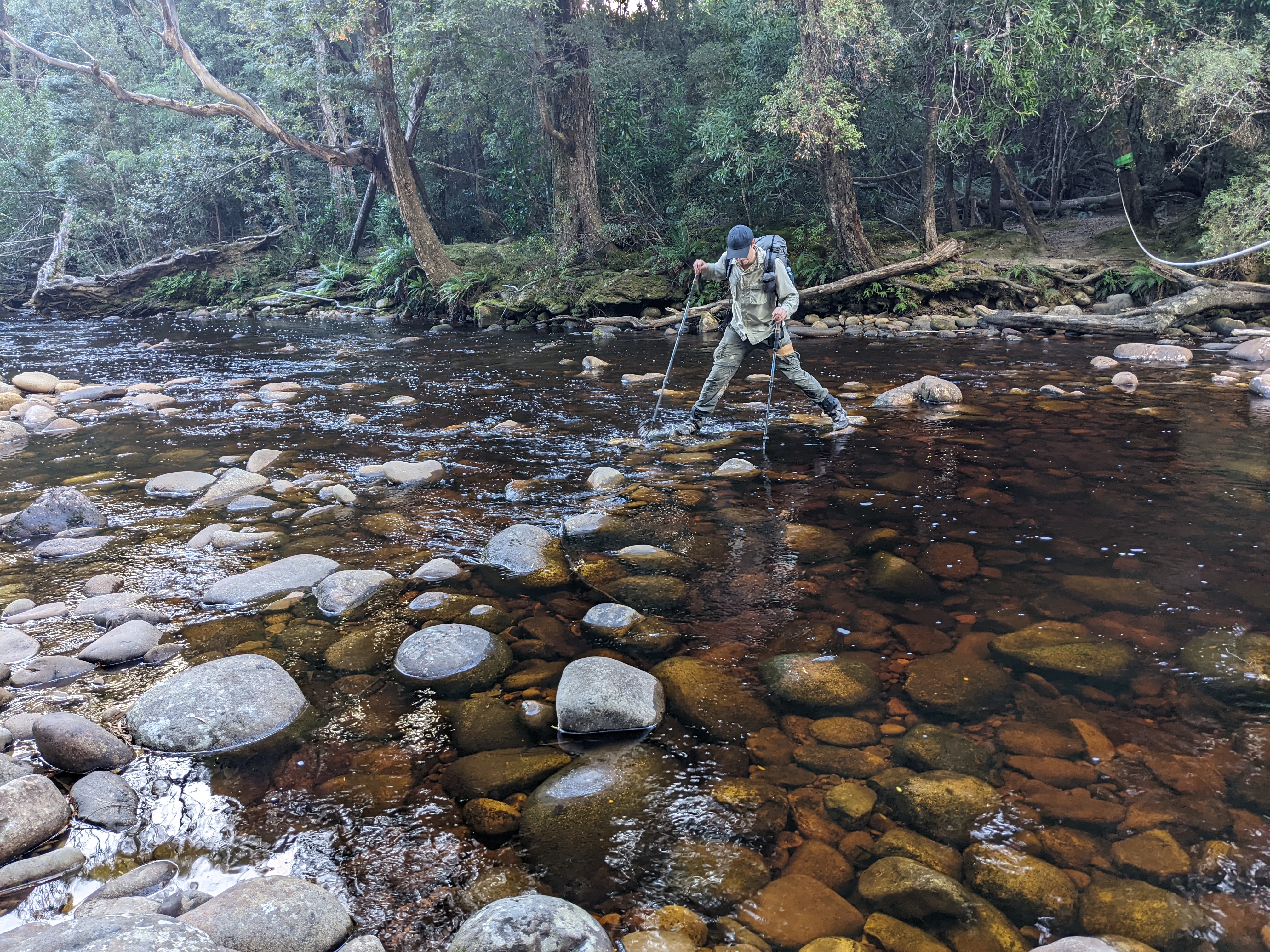
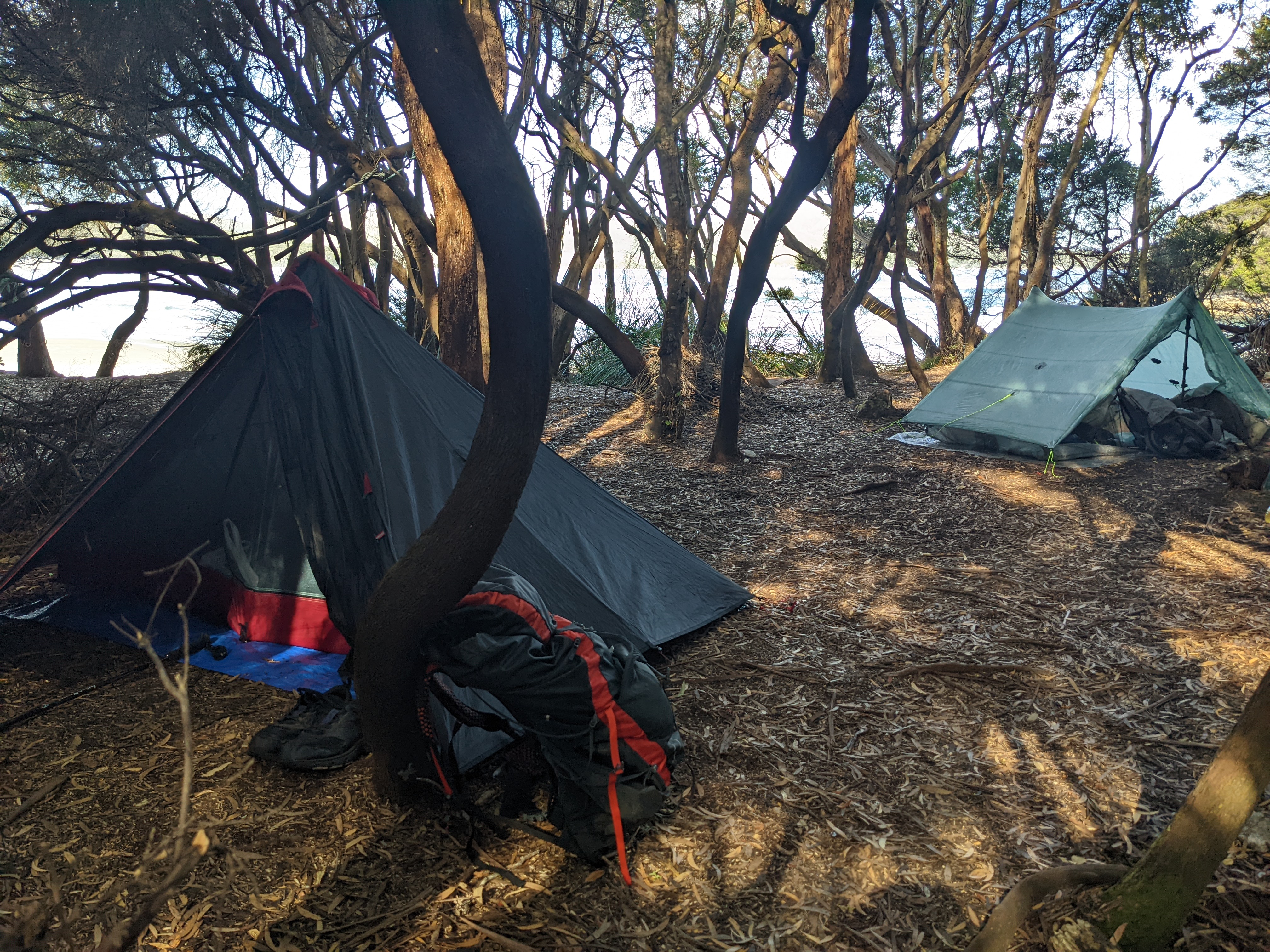
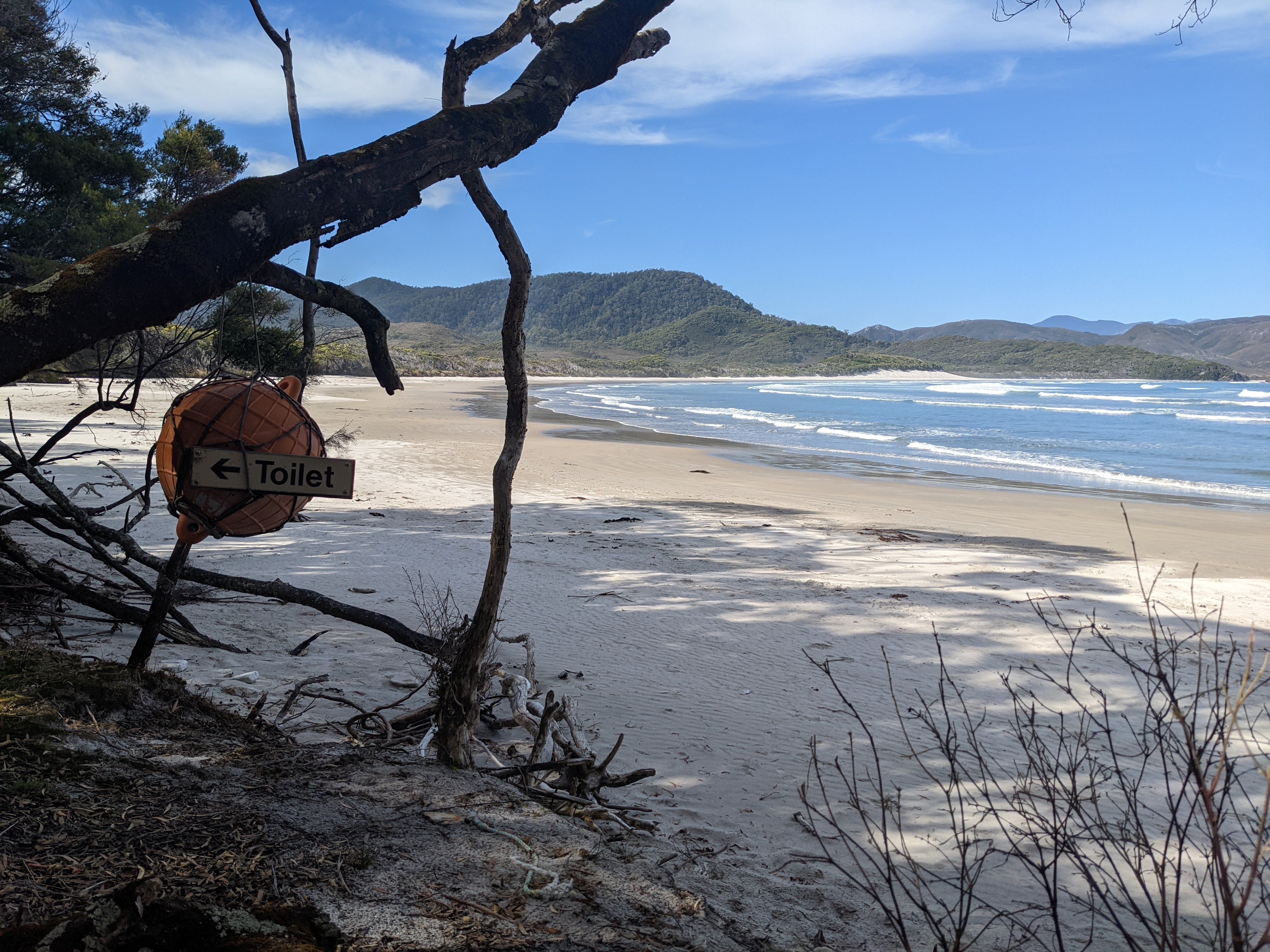
This was a wonderful day of walking, something akin to the veldt of Africa or perhaps the grasses of northern Scotland, blue skies, add in the sound of surf nearby, numerous creek crossings and one significant climb to keep us honest. After a long descent off the high saddle and another beach walk we set up camp by ourselves at Point Eric, nestled in amongst the coastal trees, the sandy beach only steps away, which we later deemed to be our favourite camp spot of the trip.
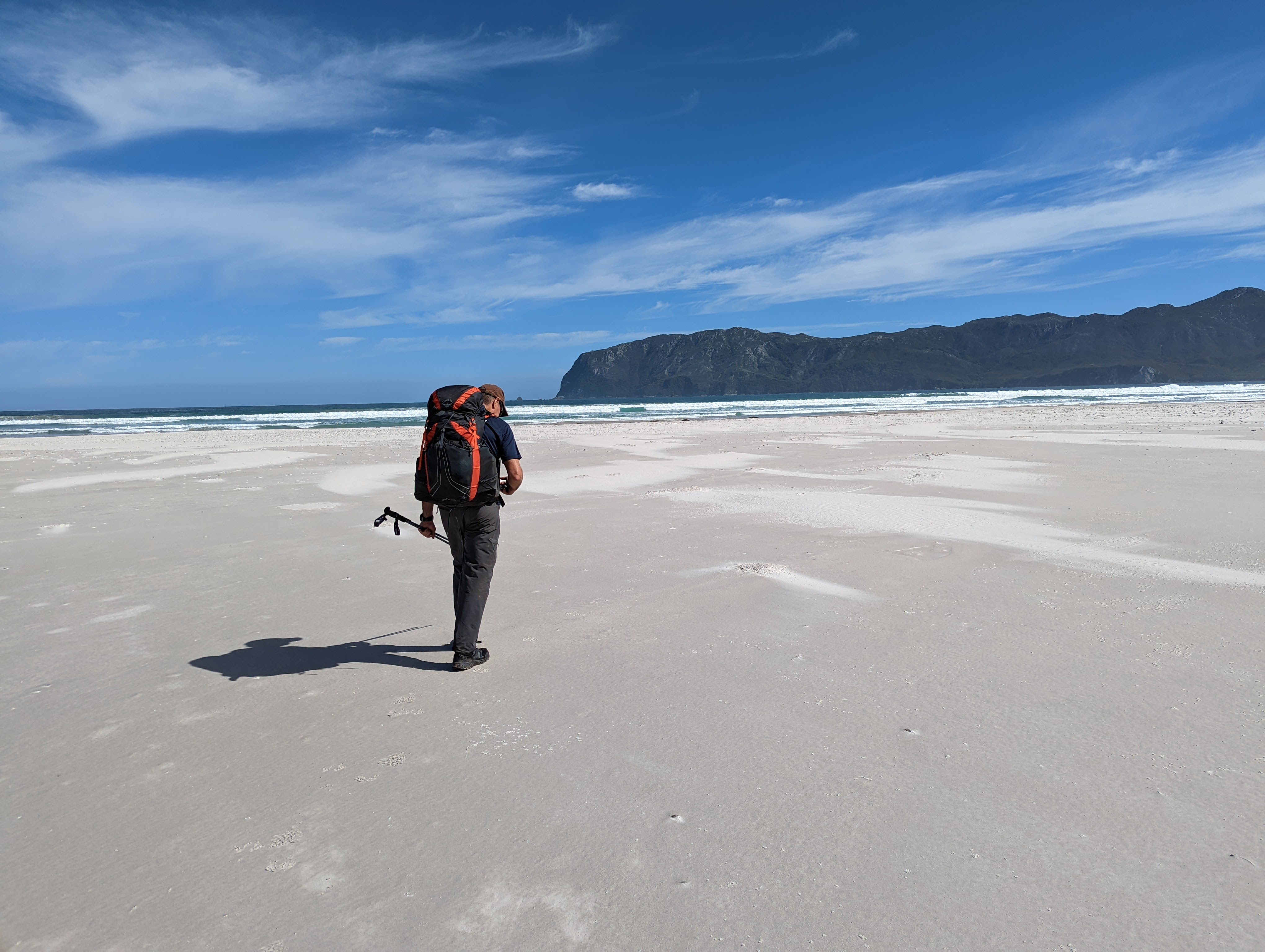
Will and I sat on the beach for dinner, enjoying the last daylight, reminiscing about our trip, sad to know it was finishing the next day. We were tired and sore and smelly but our equipment had held up very well and we were in high spirits. Why don’t we do this more often?
The next morning brought grey skies and the threat of rain. Suddenly a new risk entered our equation – what if the weather turned so bad that our plane couldn’t fly in to pick us up? We were scheduled to fly out at 3.30pm but that all depended on the weather. It was not unheard of for people to stay in the huts at the airstrip for an extra day or two waiting for the weather to break. We definitely didn’t want that to happen to us.
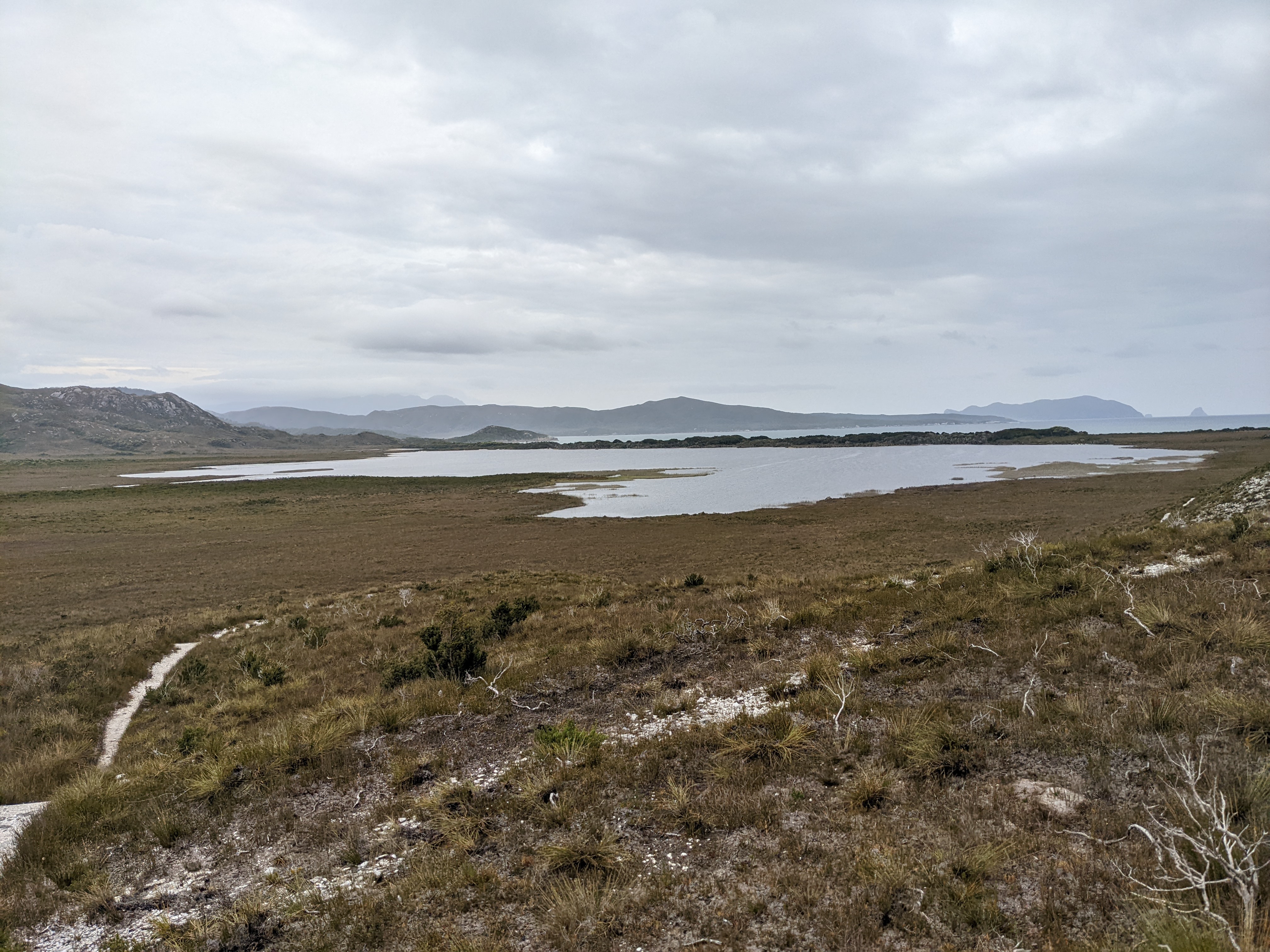
The walk inland away from the beach across the open button grass plains of the valley was delightful, expansive views of the large Fenney Lagoon behind us, beautiful mountains all around us, an easy stroll with light packs, some long sections of duckboards to keep us out of the muck, both of us looking forward to our flight out if the weather held.
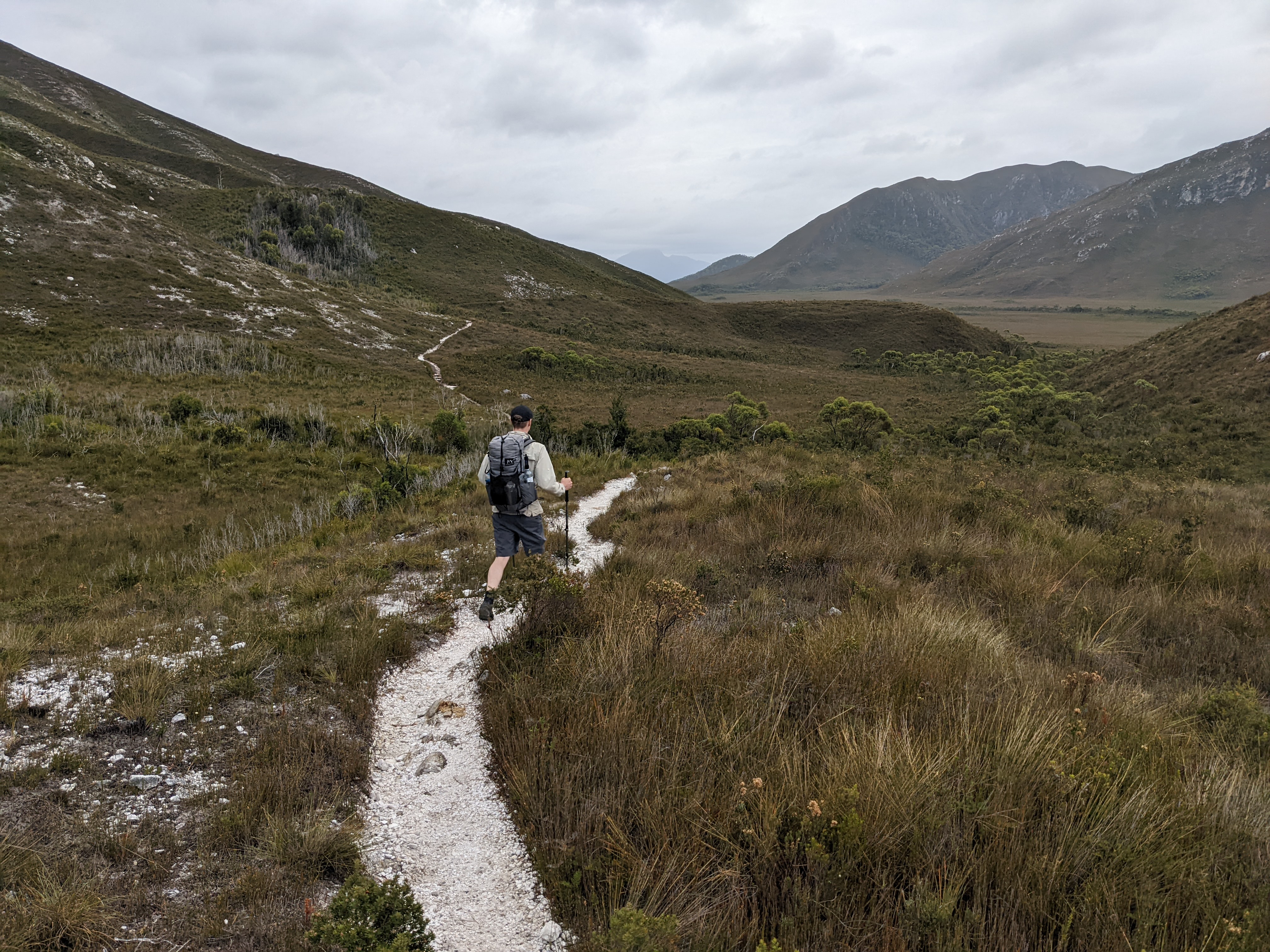
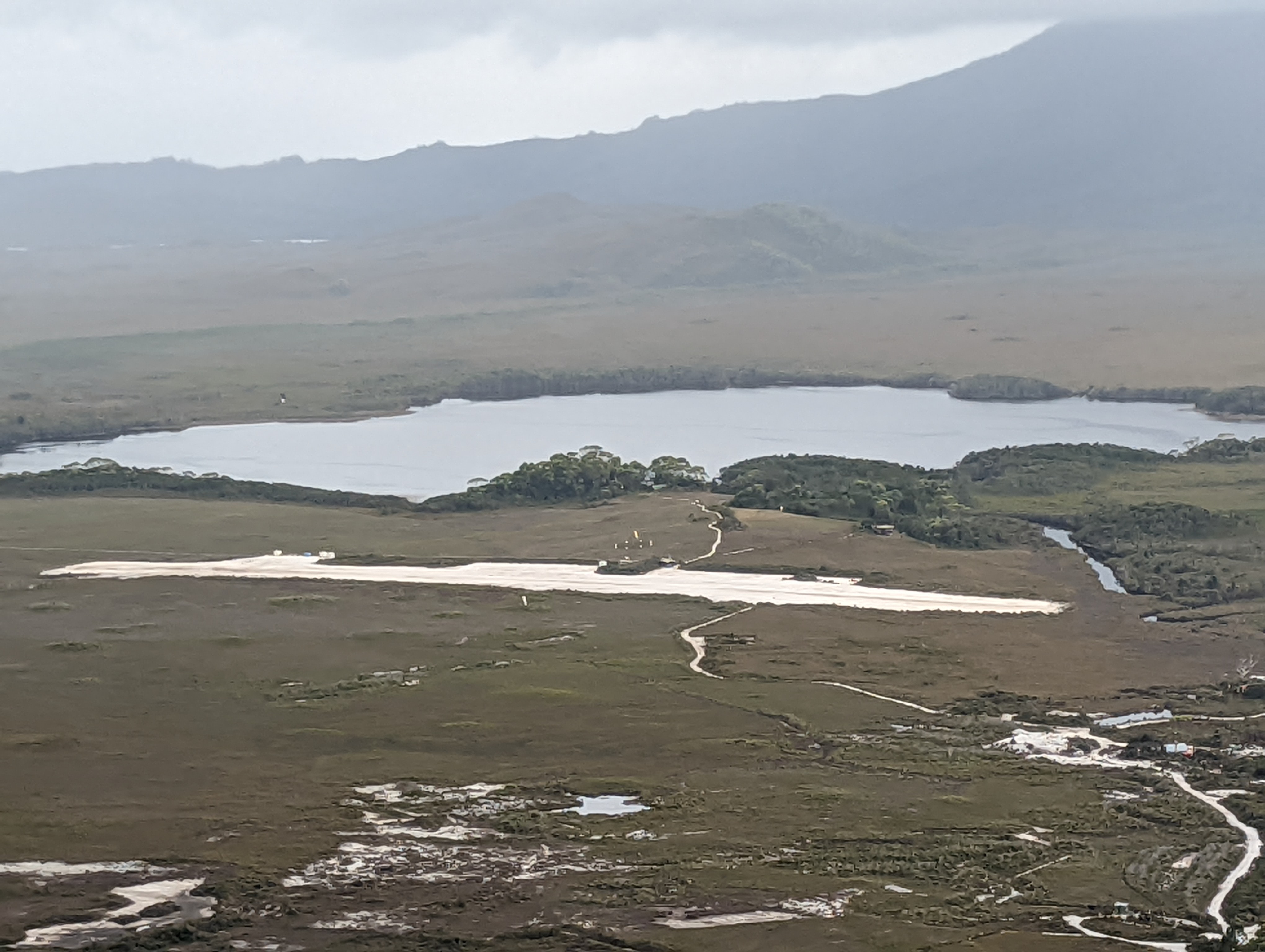
And as we approached the airstrip two small airplanes circled the valley and landed on the strip, no doubt disgorging walkers keen to start their journey along the South Coast Track. For us these planes represented potentially our trip out, even though it was not yet noon. So as the light rain began to fall we made double time to the airstrip and Will approached one of the two pilots just as they were about to set sail.
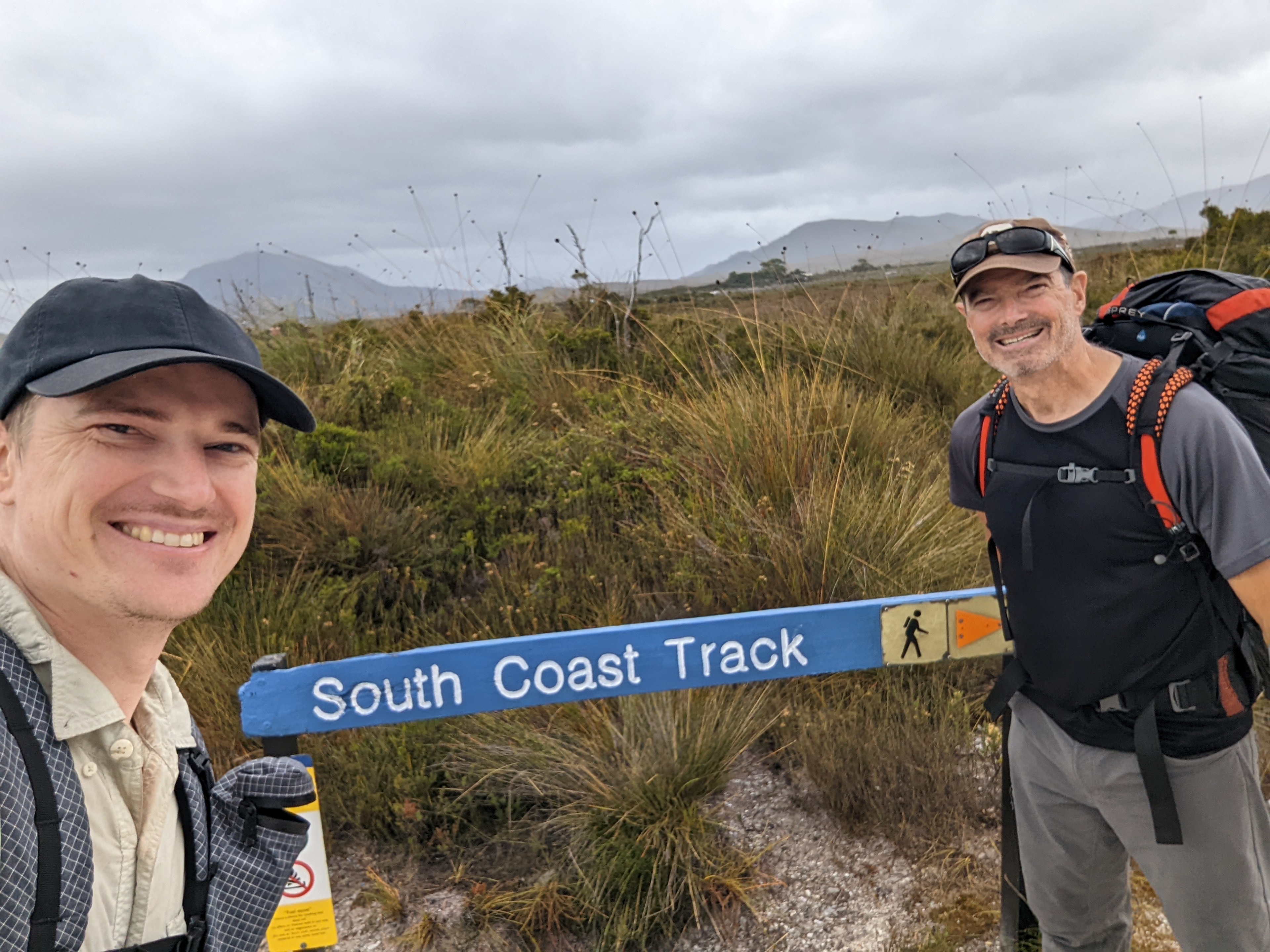
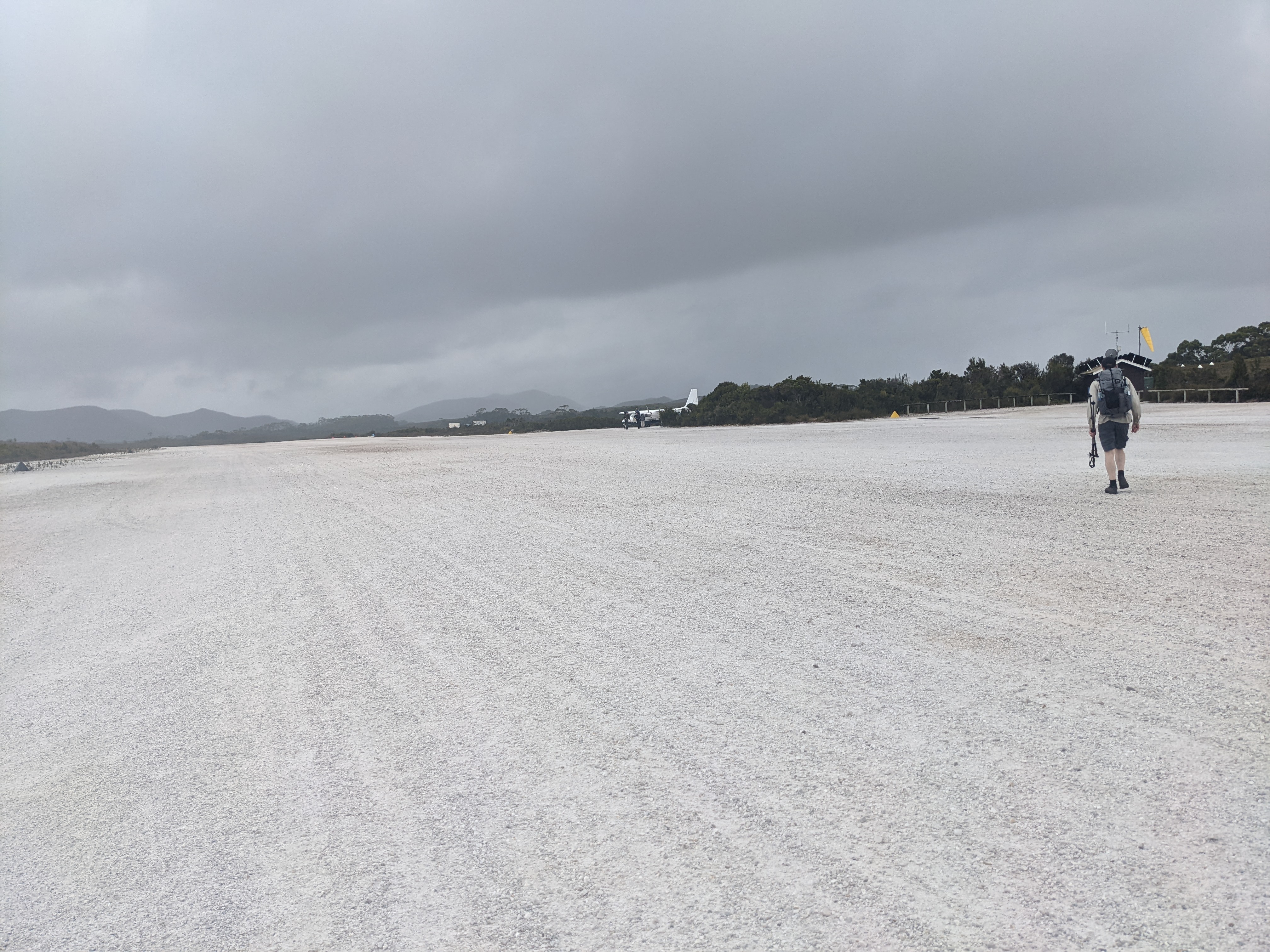
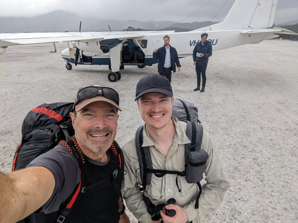
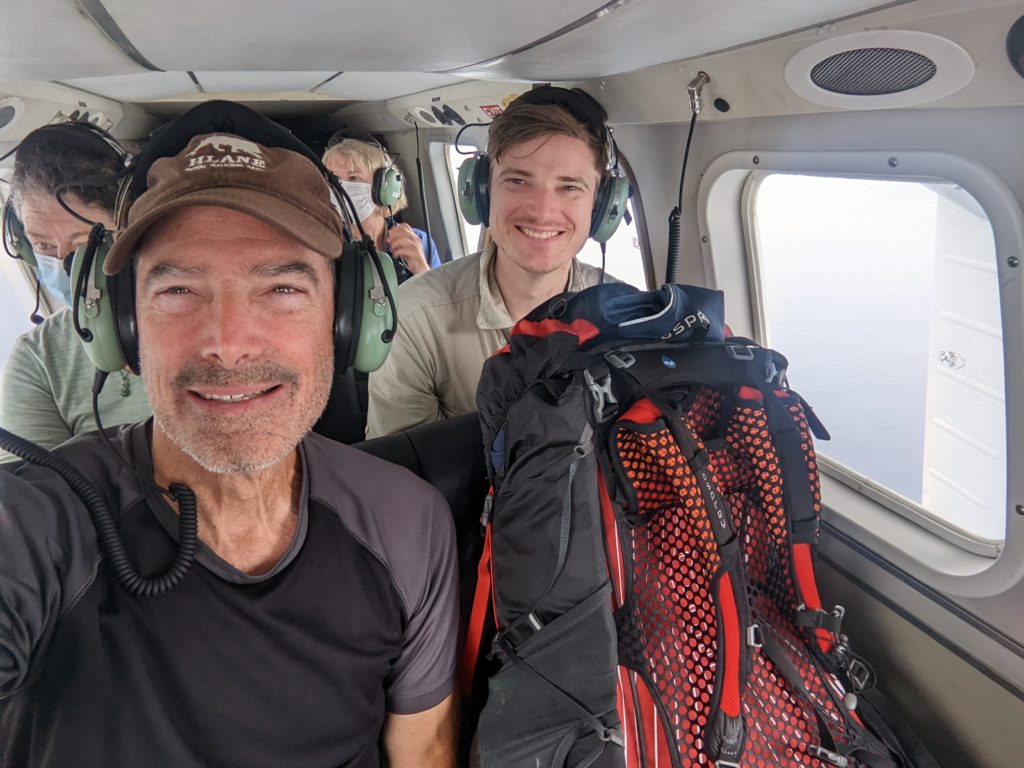
Yes, he said, we were on their manifest for extraction but they couldn’t wait any longer due to the incoming weather and were about to leave. And no, there were no more flights today. So with barely a selfie in front of our plane Will and I clambered onboard, squeezed into the last two seats and took off down the runway, all in one single movement. Amazingly, luckily, miraculously, we had made the last flight out and were heading back to civilisation.
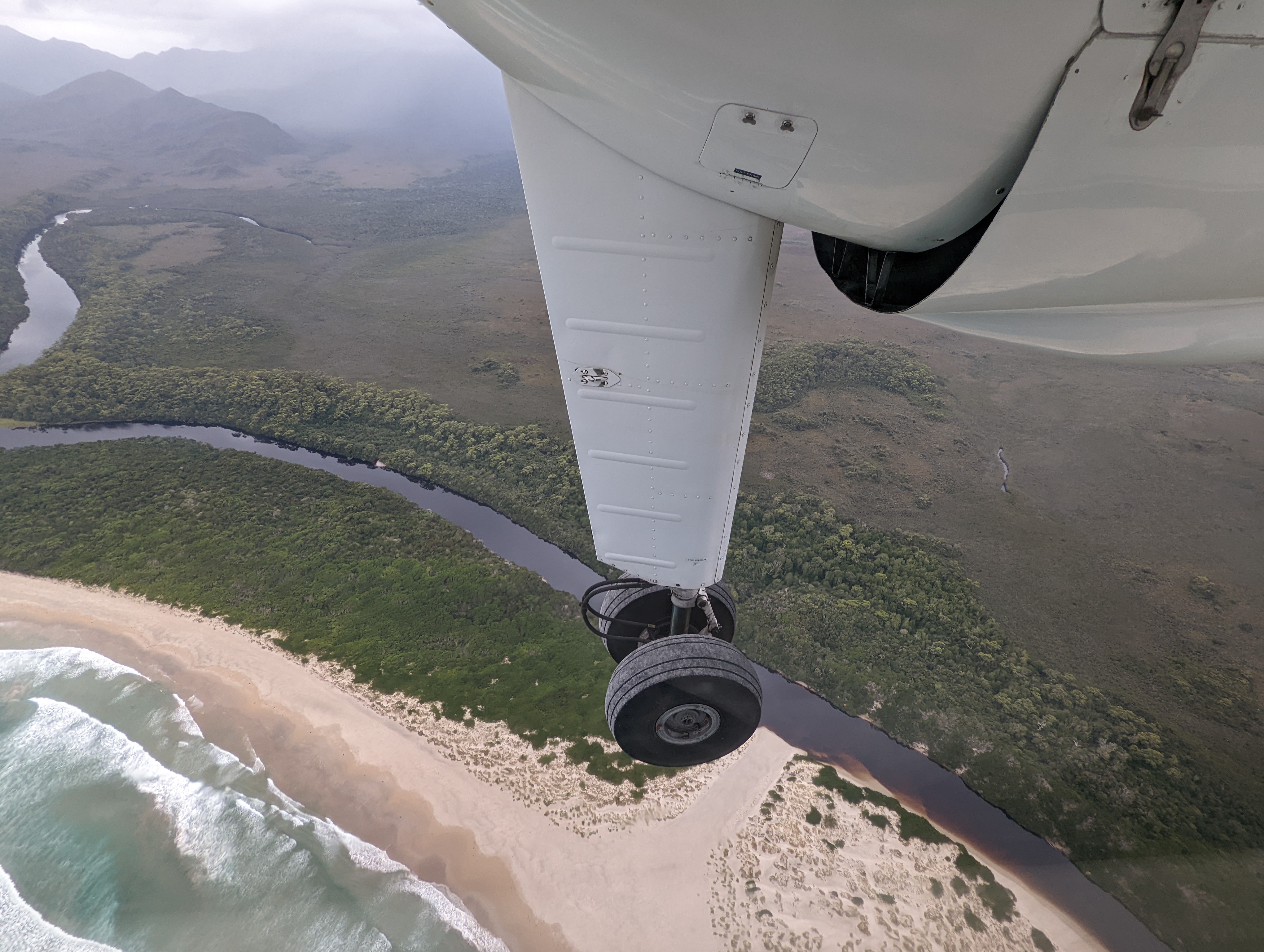
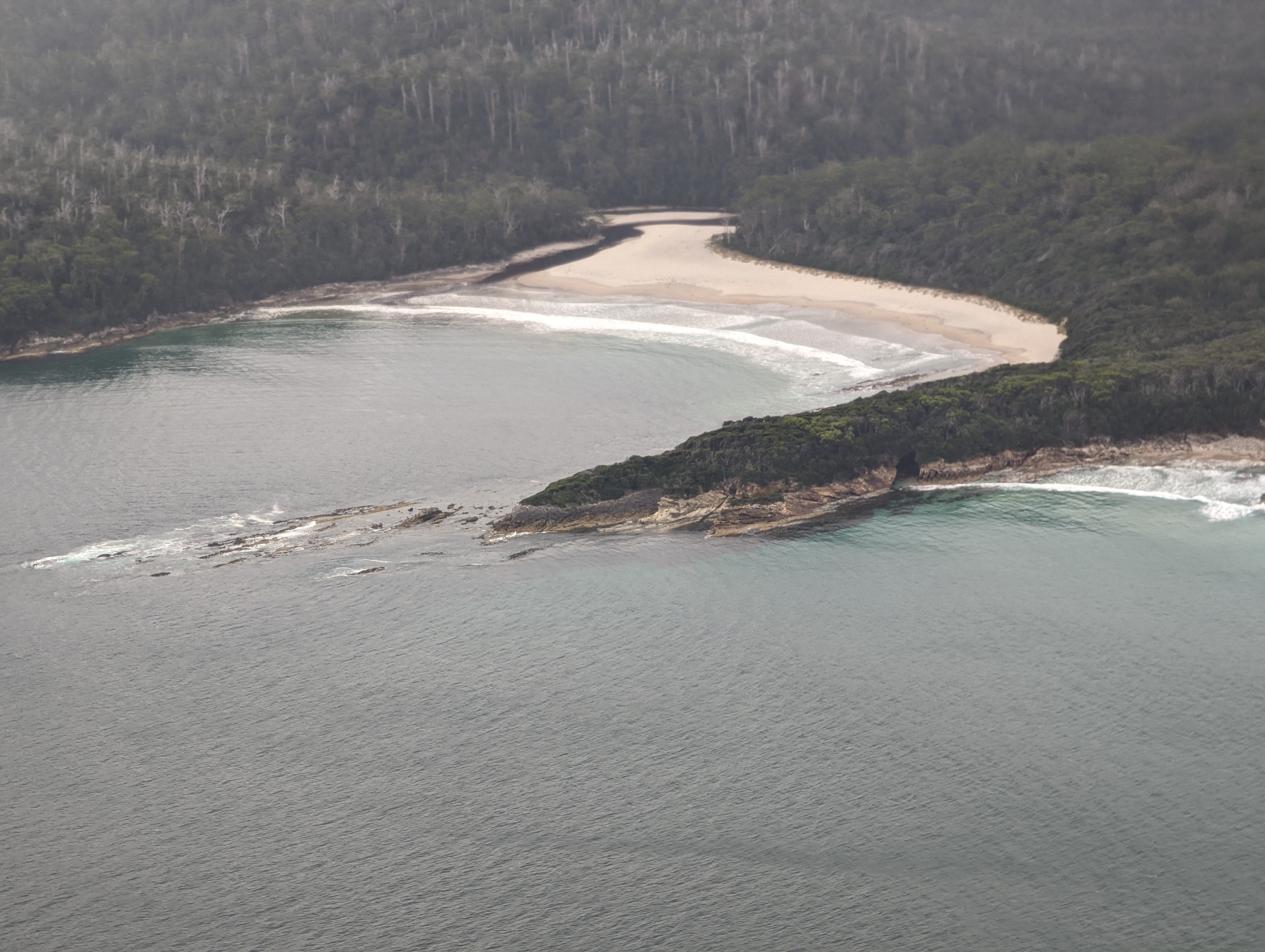
The flight back to Hobart followed the coast and from the windows of our little plane we could follow our track up and over the mountains, along the beaches and through the forests, flying over in about ten minutes what it took seven days to walk. And soon after we were back on the ground, back in the land of COVID, bustling traffic and tall buildings. The disconnect between where we were and where we ended up made our heads spin.
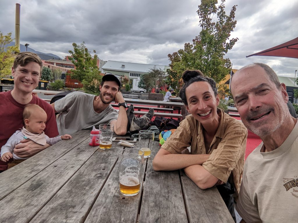
Celebration beers, a huge 550g steak, more beers, and congratulations all around before Will and I flew back to Sydney the next day, our Tassie wilderness adventure over. This had been a trip for the ages, something to look back on with a warm glow forever. We had achieved something few have the opportunity or inclination to try. But setting aside all those great memories of the places we saw and the experiences we had the best for me was walking with Will and sharing the whole adventure together. When can we go again?
Having sailed round to Port Davey 13 times, I appreciate you sharing your arduous walk with us. It was so much easier for me to see the coast from the water. I have heard from another very experienced bush walker just how difficult the Ironbound Range is to climb, and how dependent you are on the weather.
My next solo Exhibtion is going to be on Port Davey and the journey there by sea. I need at least 50 paintings to fill the lovely Lady Franklin Gallery in Hobart. Cheers, Joan
Hi Joan, how lovely to hear from you and our shared love of the wild of Tasmania. I am returning to those trails early in the new year and can’t wait to explore more of your island. Thanks, Bill
Wow boys, you certainly know how to share quiet times together. It all sounds amazing, but I’m sorry, not on my bucket list.
Glad you both enjoyed, and returned safely, to plan for your next adventure.
Hi Anne, yes, probably not everyone’s idea of a fun week out but we had a great time, saw some amazing places and we made a good team! Cheers, Bill