The South Coast Track
Tasmania can be a wild and beautiful place, especially if you have strong legs, a good backpack, comfortable shoes and a sense of adventure. Julie and I had previously done the Three Capes Track before I joined our three sons to do the famous Overland Track. But the South Coast Track was another step up and our oldest son Will agreed to join me in tackling this iconic track on the most southern coastline of Australia.
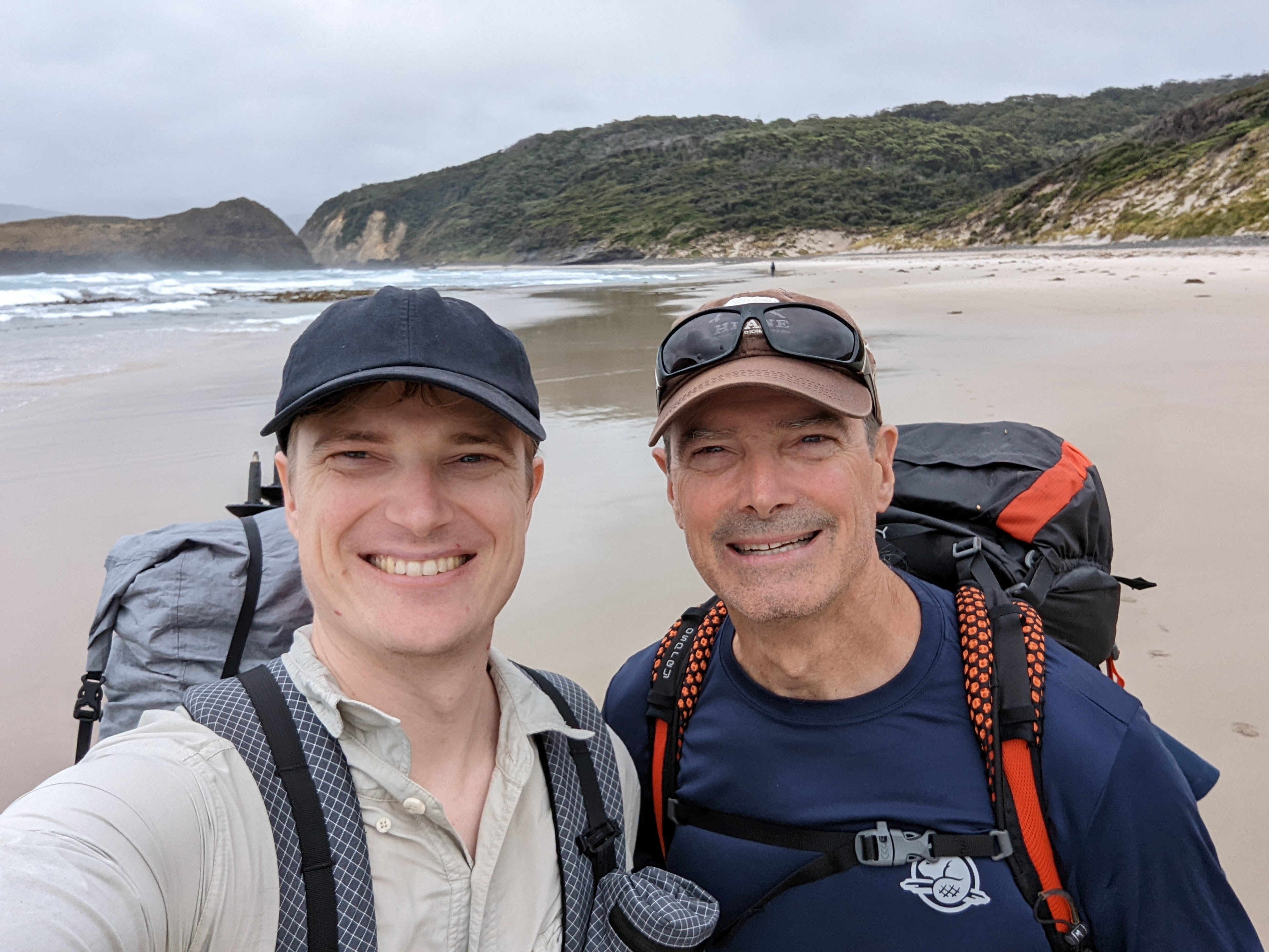
What makes walking in the bush, battling the weather, climbing up and down steep muddy tracks, sleeping in small tents, eating different food and enduring multiple sore body parts so attractive? Well, for me, having such an adventure with our oldest son is an irreplaceable experience no matter what else. But to see such stunningly beautiful places that very few people venture into, to sleep snug in your bag with the sound of the surf just outside, to enjoy the changing scenery, landscapes, weather conditions and track conditions is all part of an overall package that adds to a lifetime of memories and is good for the soul.
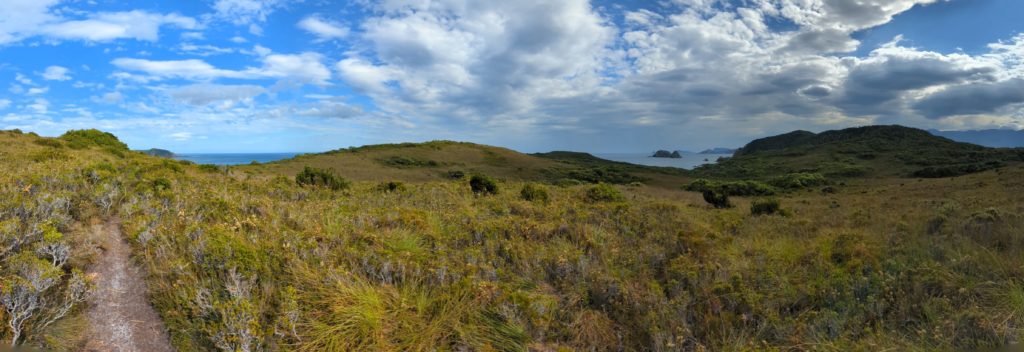
The South Coast Track stretches 85 kilometres along Tasmania’s southern coast through the Southwest National Park which is all part of the Tasmanian Wilderness World Heritage area. It is a remote and rugged land with long beautiful beaches, high rainforest-clad mountains and deep forbidding valleys. The track starts with a flight on a small prop plane into a gravel airstrip at Melaleuca and finishes seven days later at the end of a long dirt track at Cockle Creek where a pre-booked shuttle bus whisks you back to showers and civilisation. At least that is the usual plan.
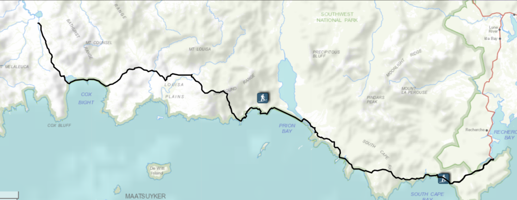
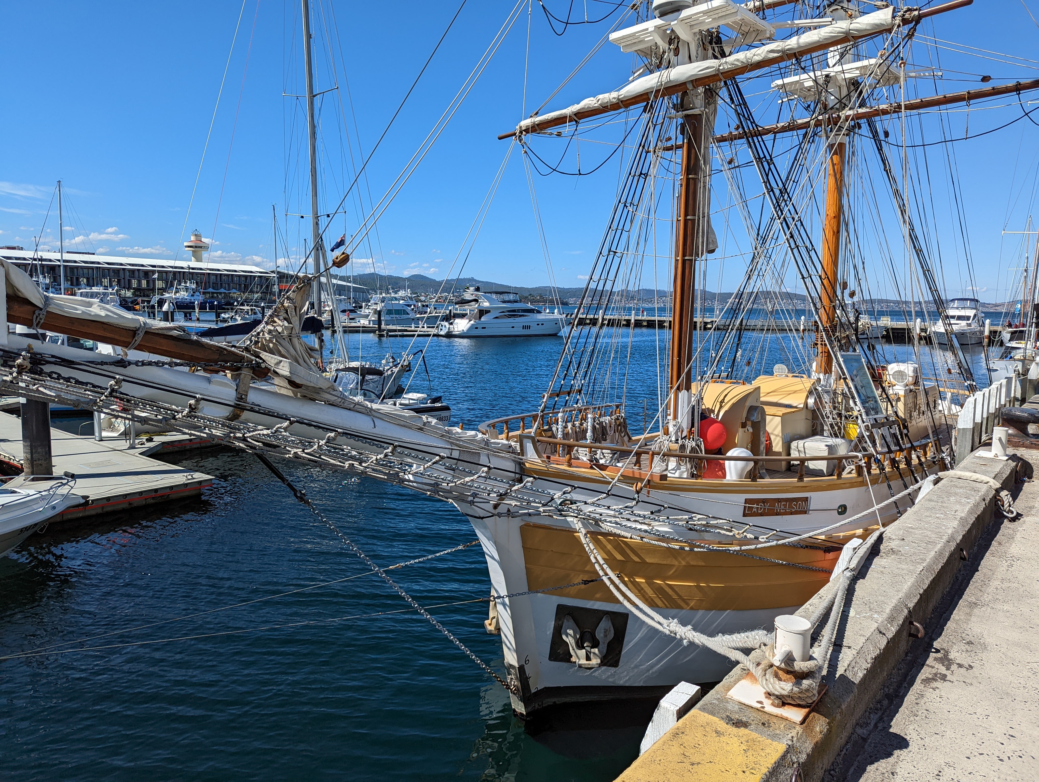
Will and I flew into the very liveable and likeable capital of Hobart and after a relaxing afternoon and evening prepping for our big adventure we heard news that our flight to Melaleuca the next day was cancelled due to anticipated high winds. Instead we now needed to do the walk in reverse, starting with the shuttle bus to Cockle Creek. This threw us a bit because all our planning was focused on doing the walk the other way but we quickly adjusted our plans, jumped on the shuttle bus and headed south on a rainy morning to the end of the road.
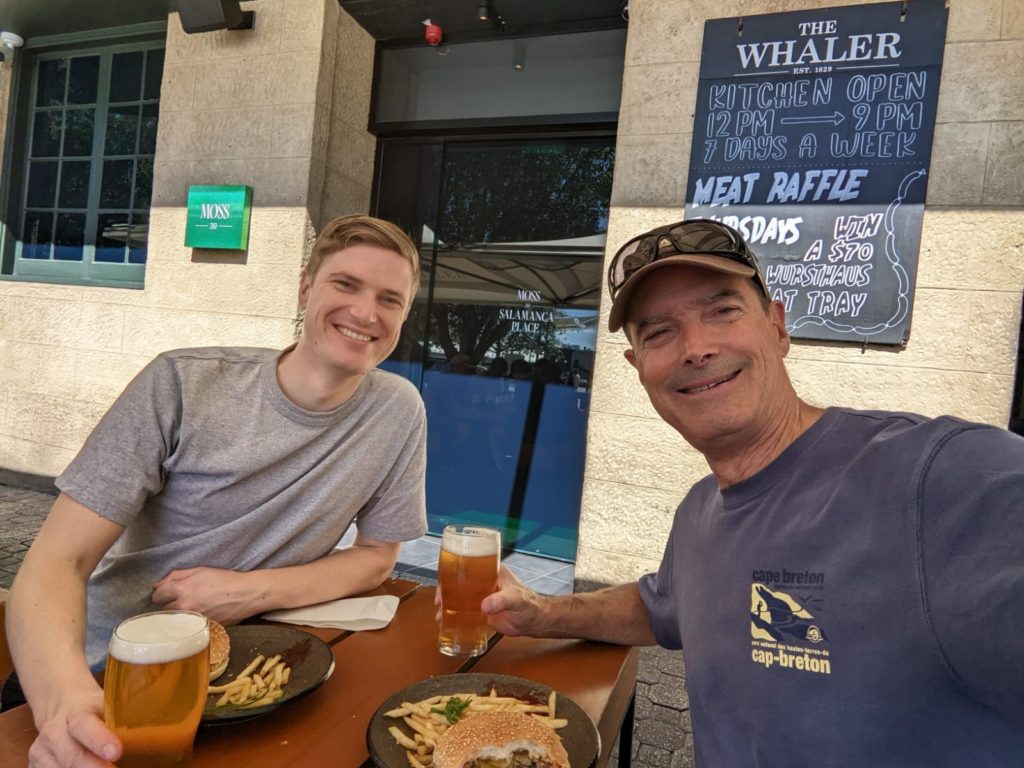
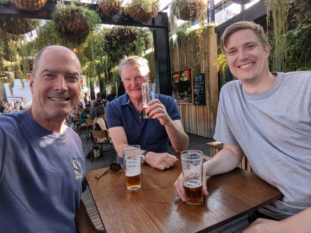
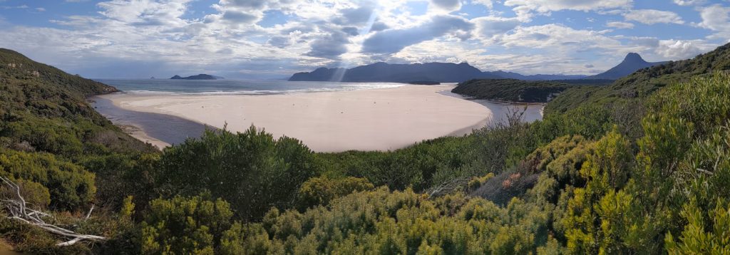
The first day’s walk from Cockle Creek to South Cape Rivulet is 11 kilometres and is the only day on the walk graded easy. It was a great warmer-upper, following boardwalks across open heathland, through a few forested sections, up and down a bit before popping out onto a headland overlooking a long beach with the dominant Lion Rock at the far end. We dropped down to the beach for the first of many glorious walks on the sand, then up and over a large headland, along another beach and finally setup our tents on the sandy banks of the South Cape Rivulet.
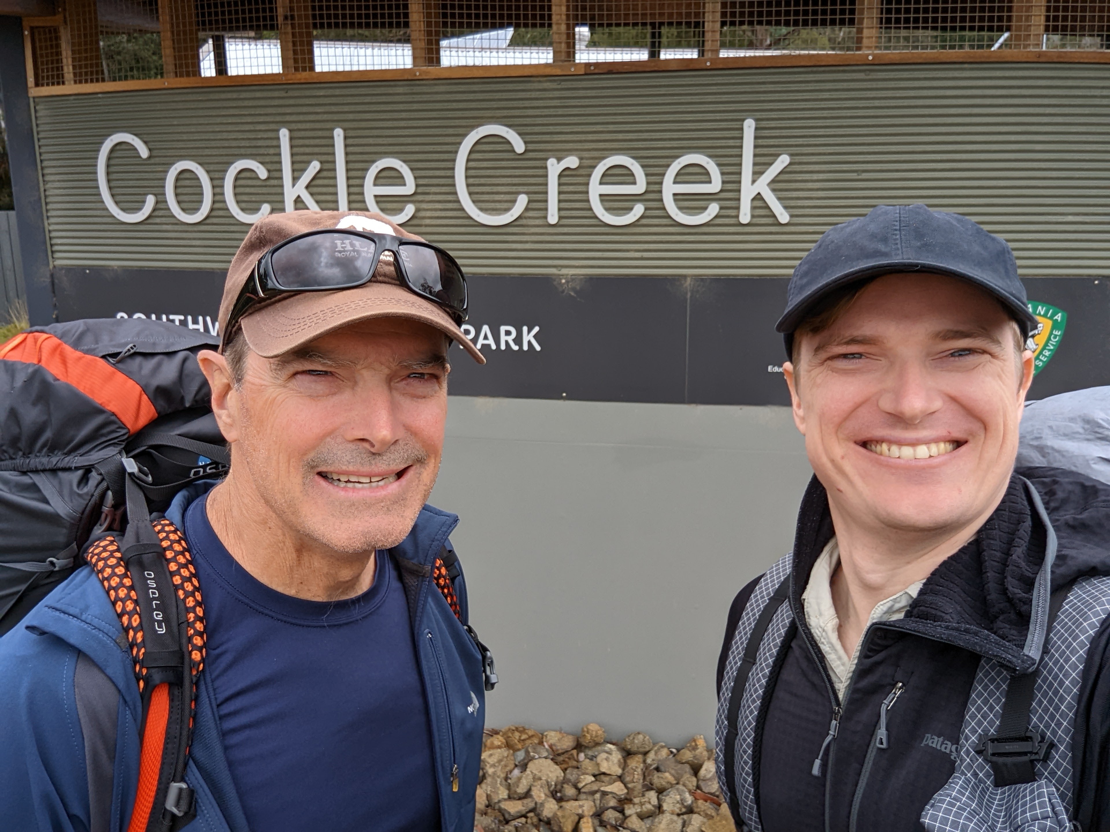
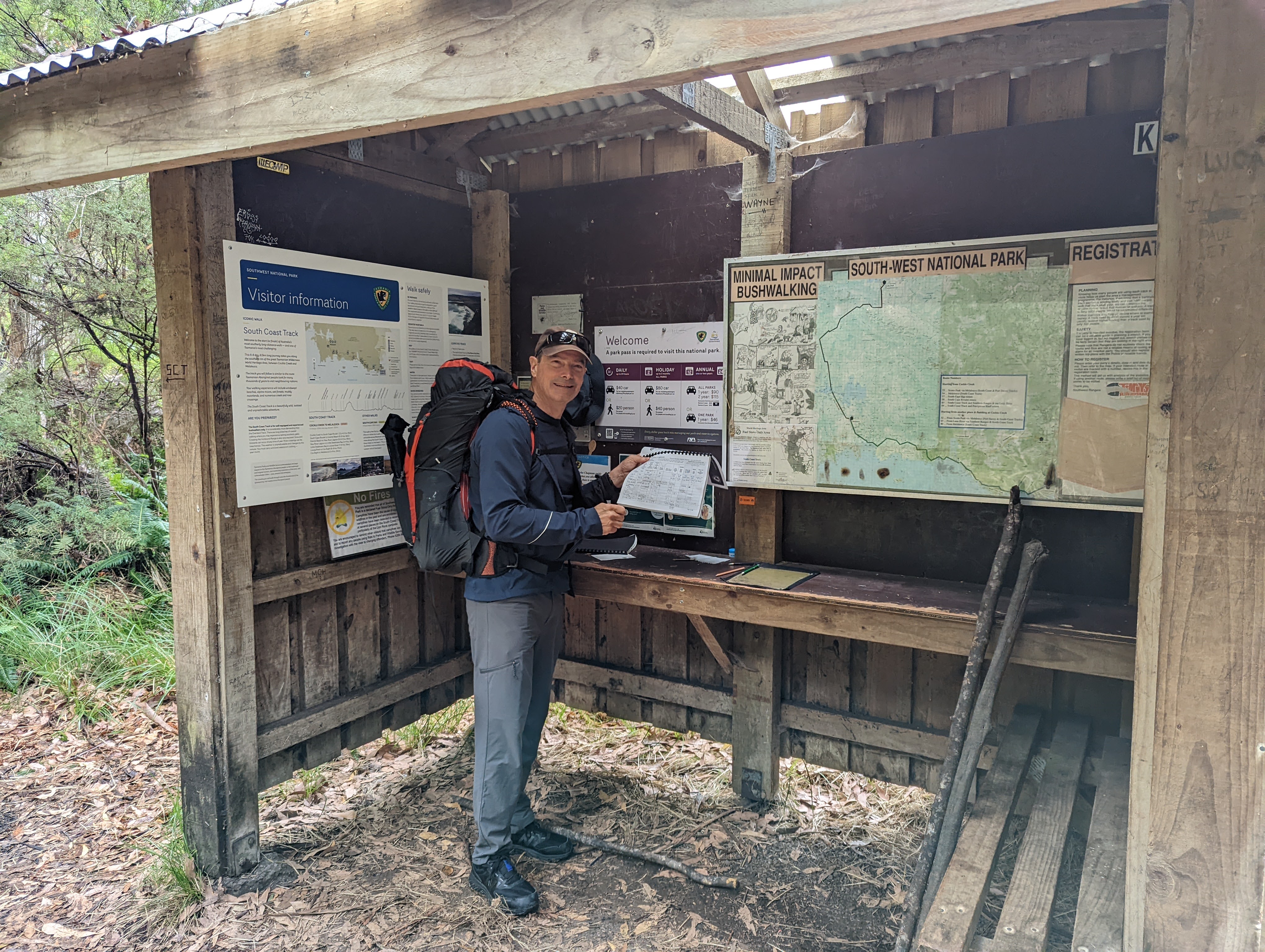
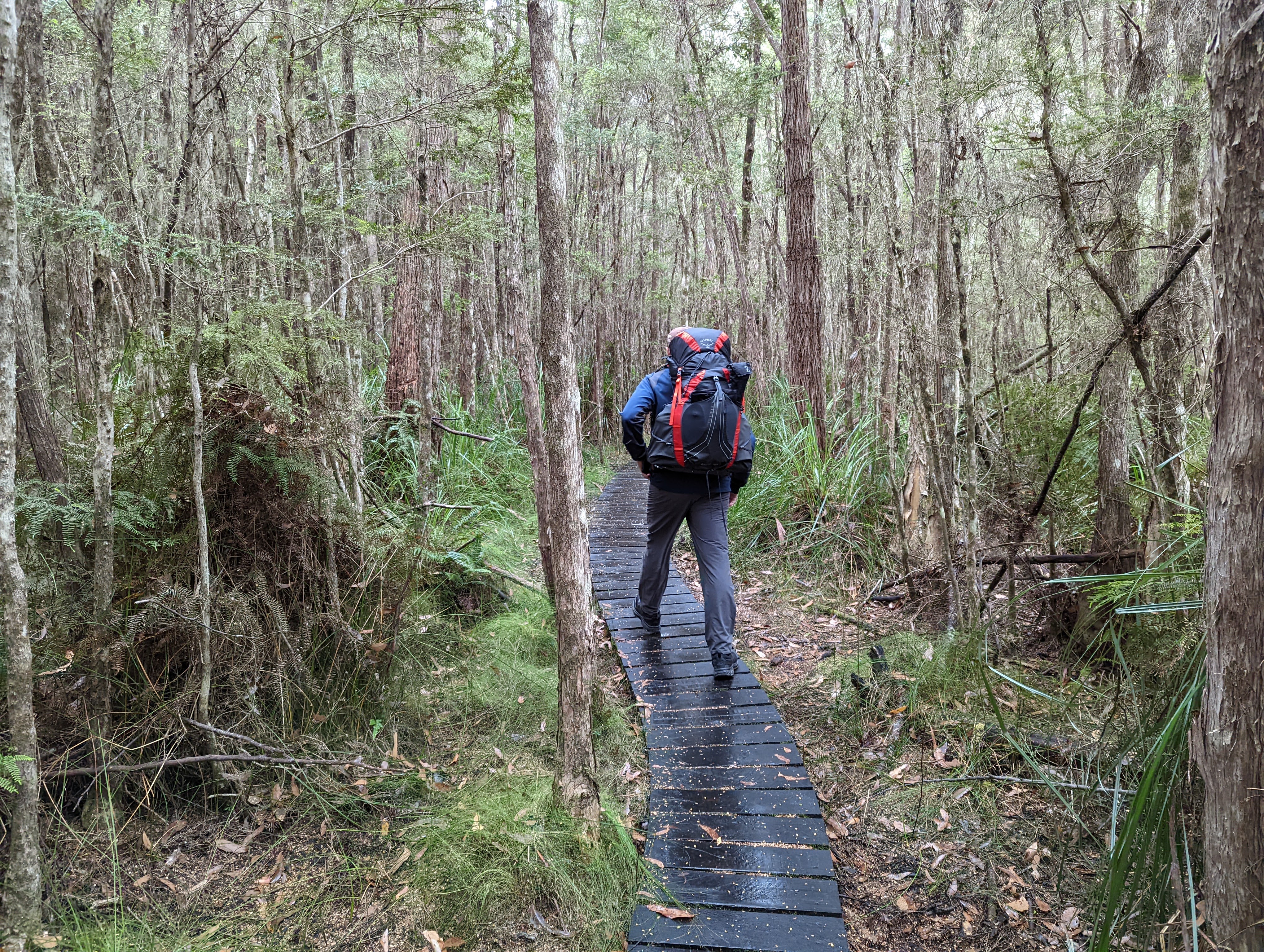
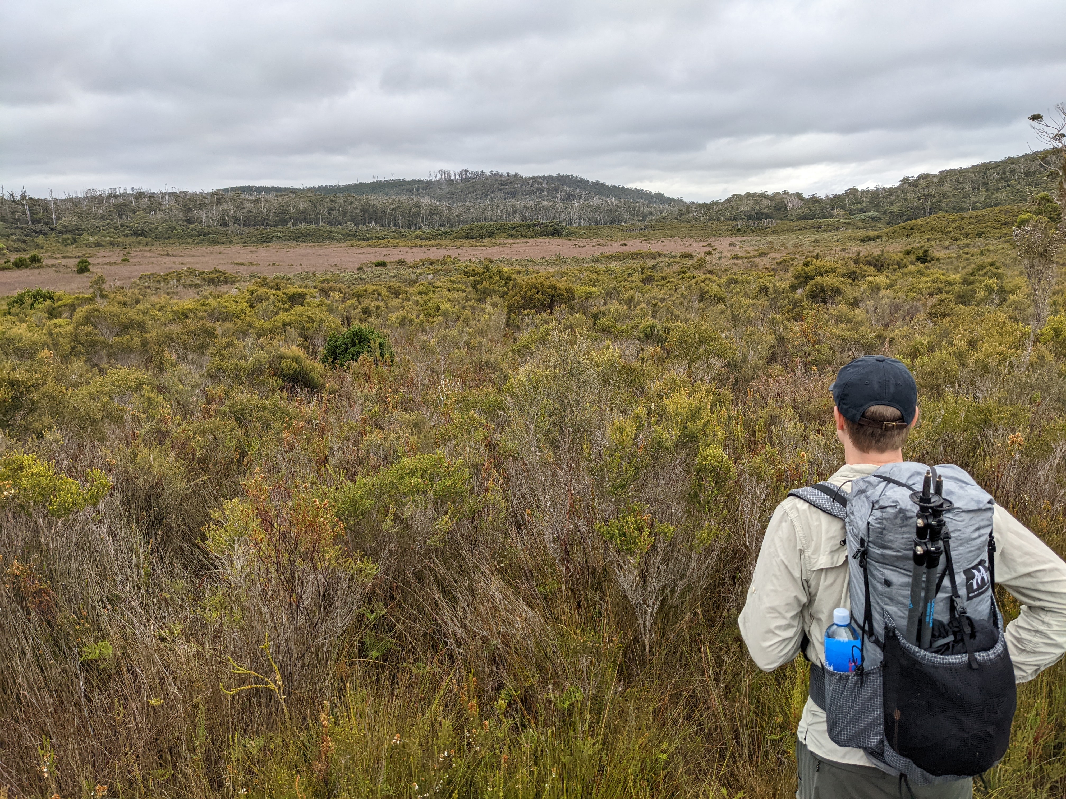
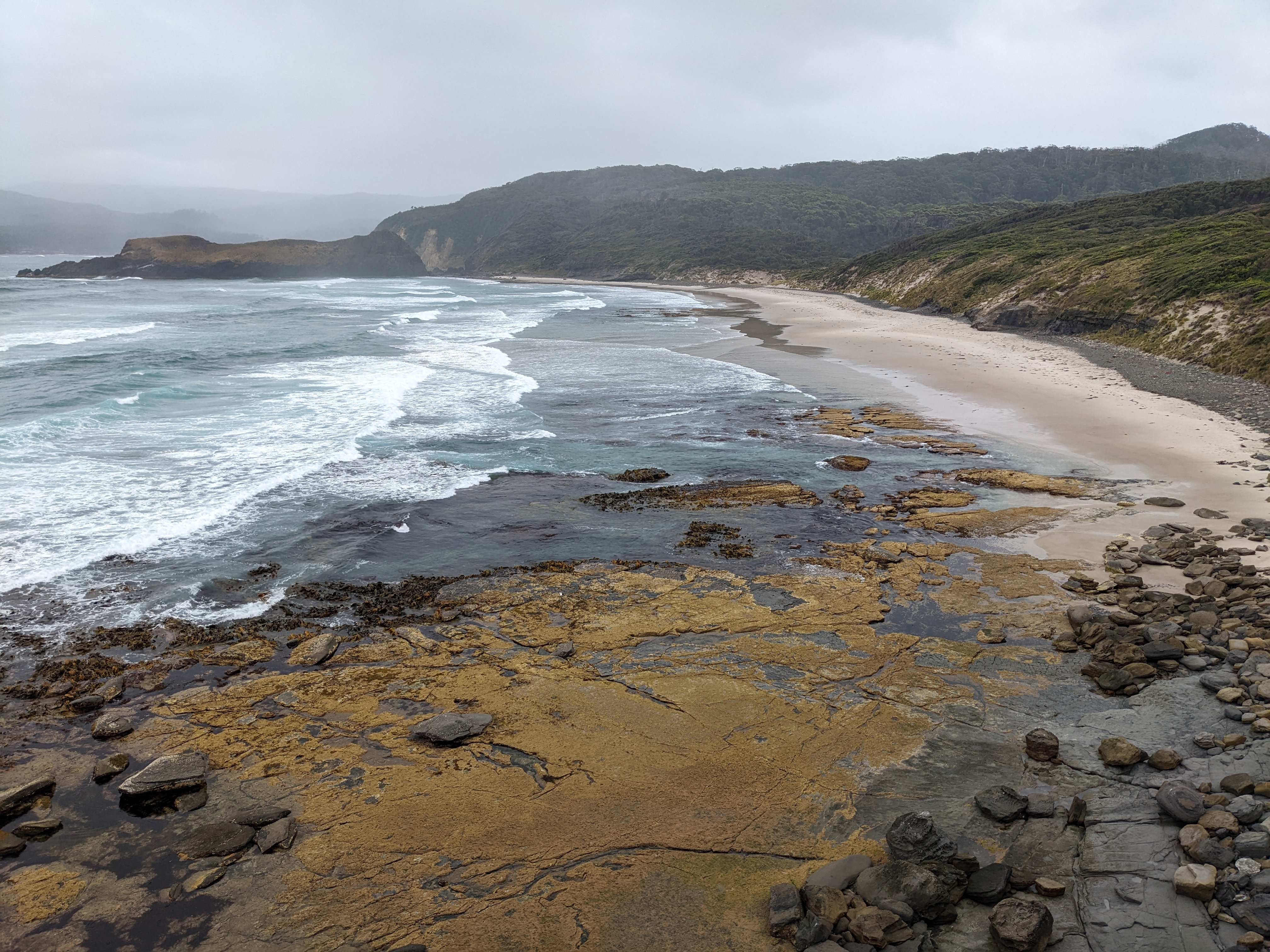
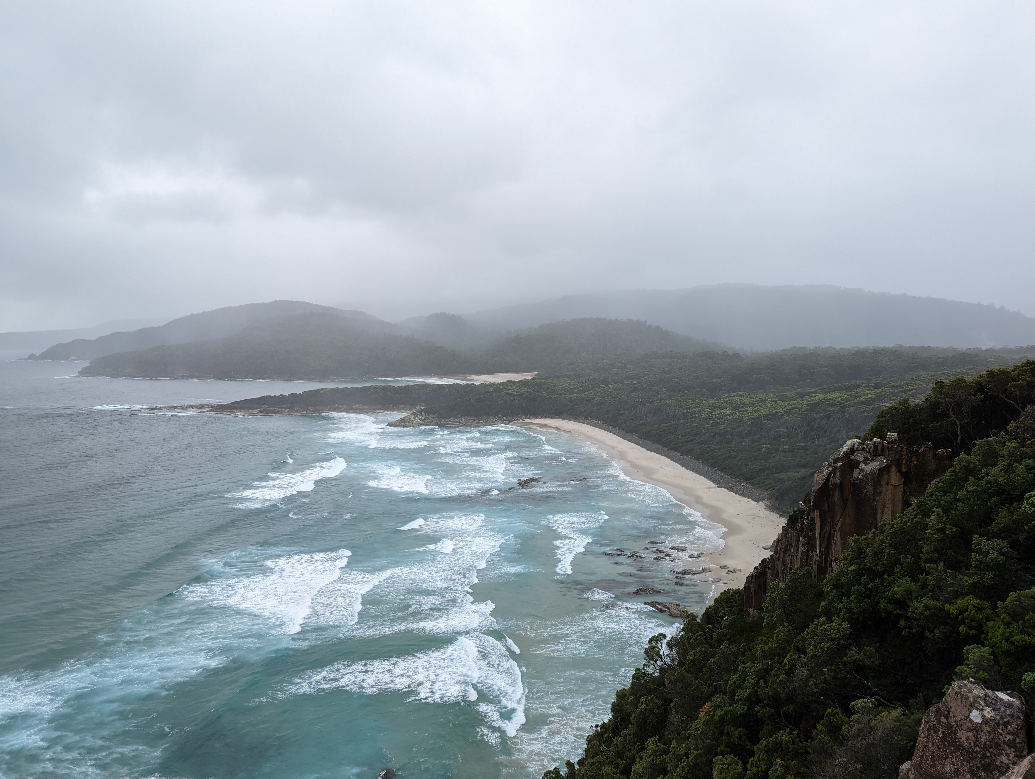
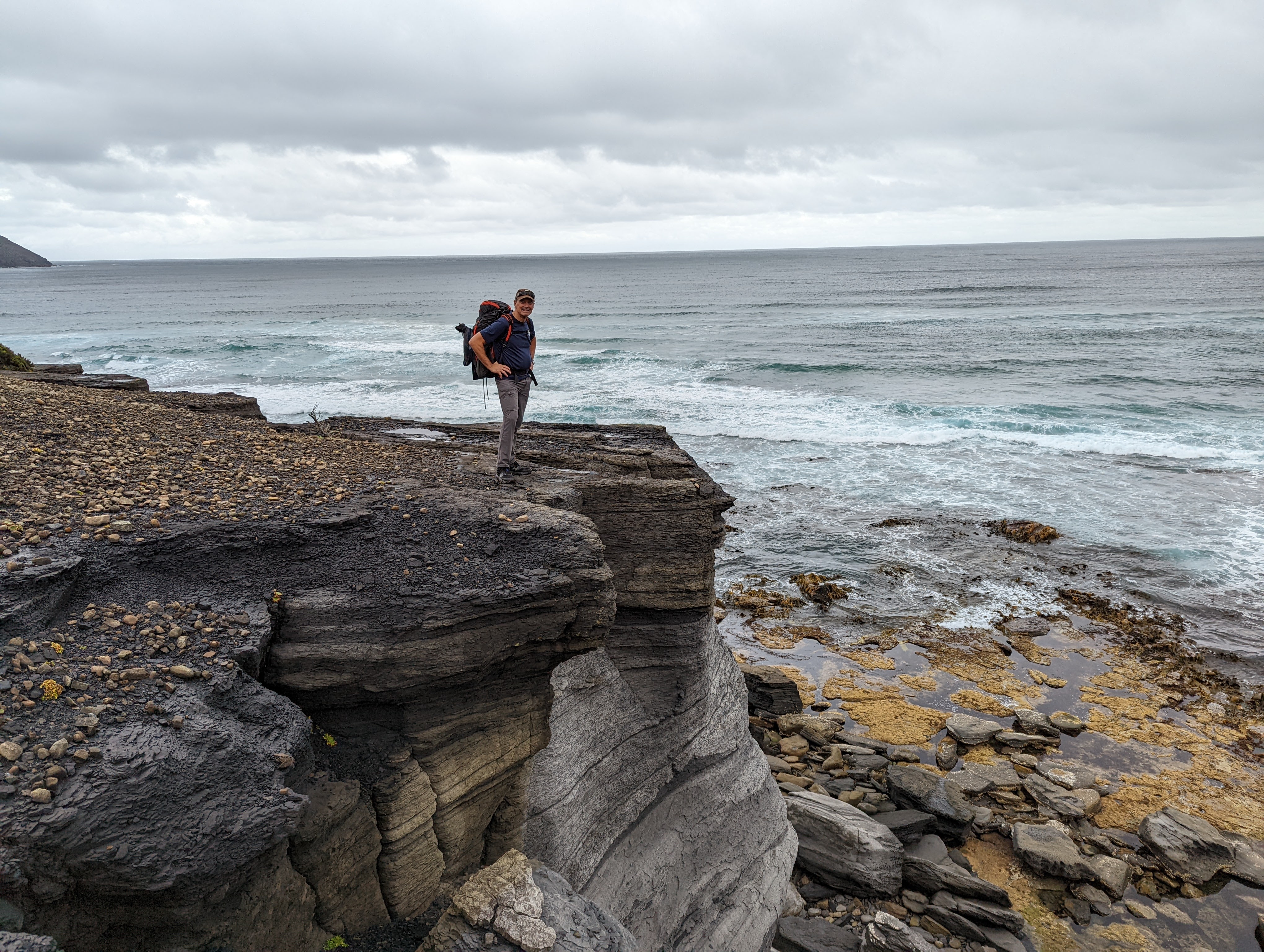
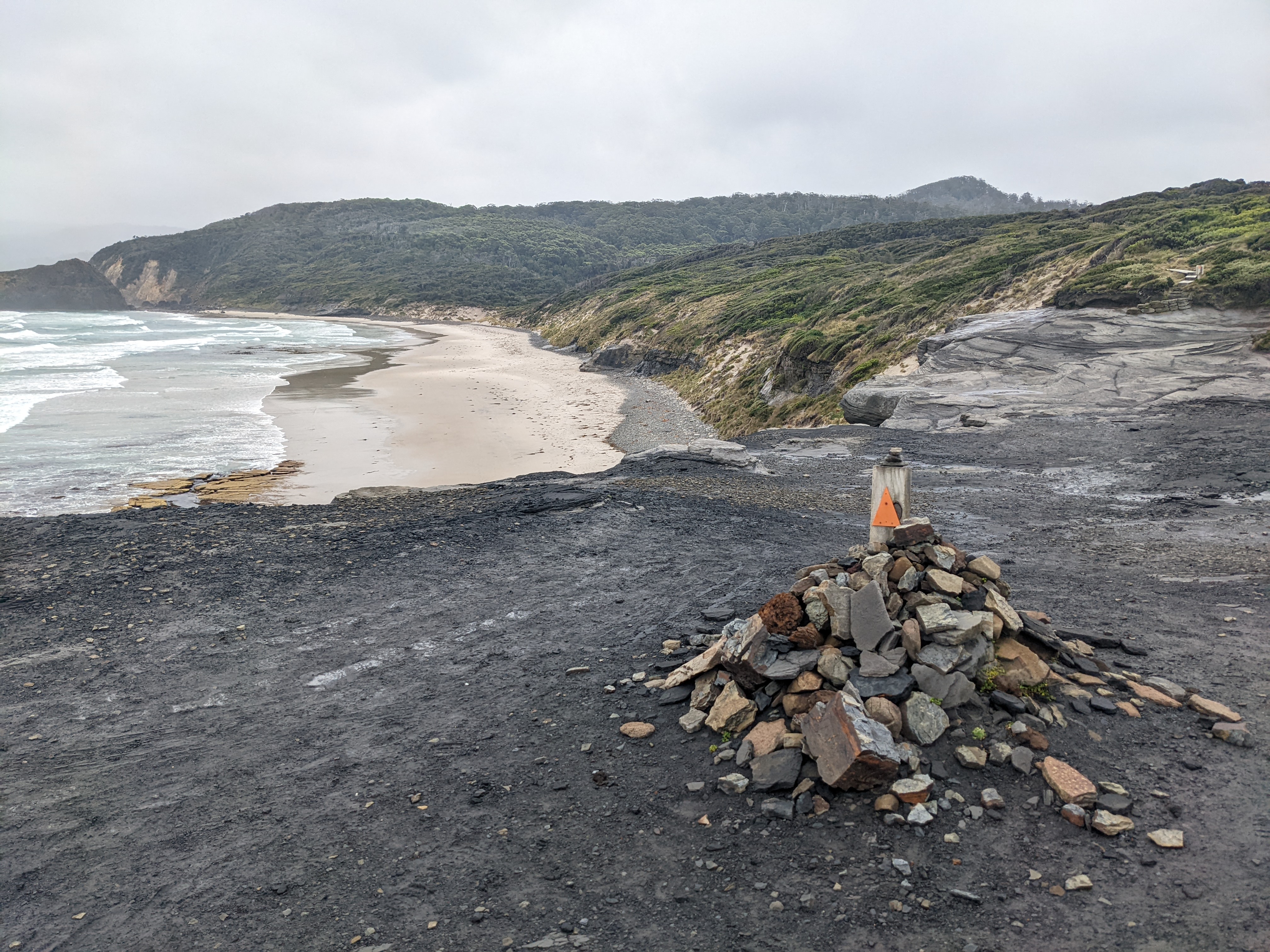
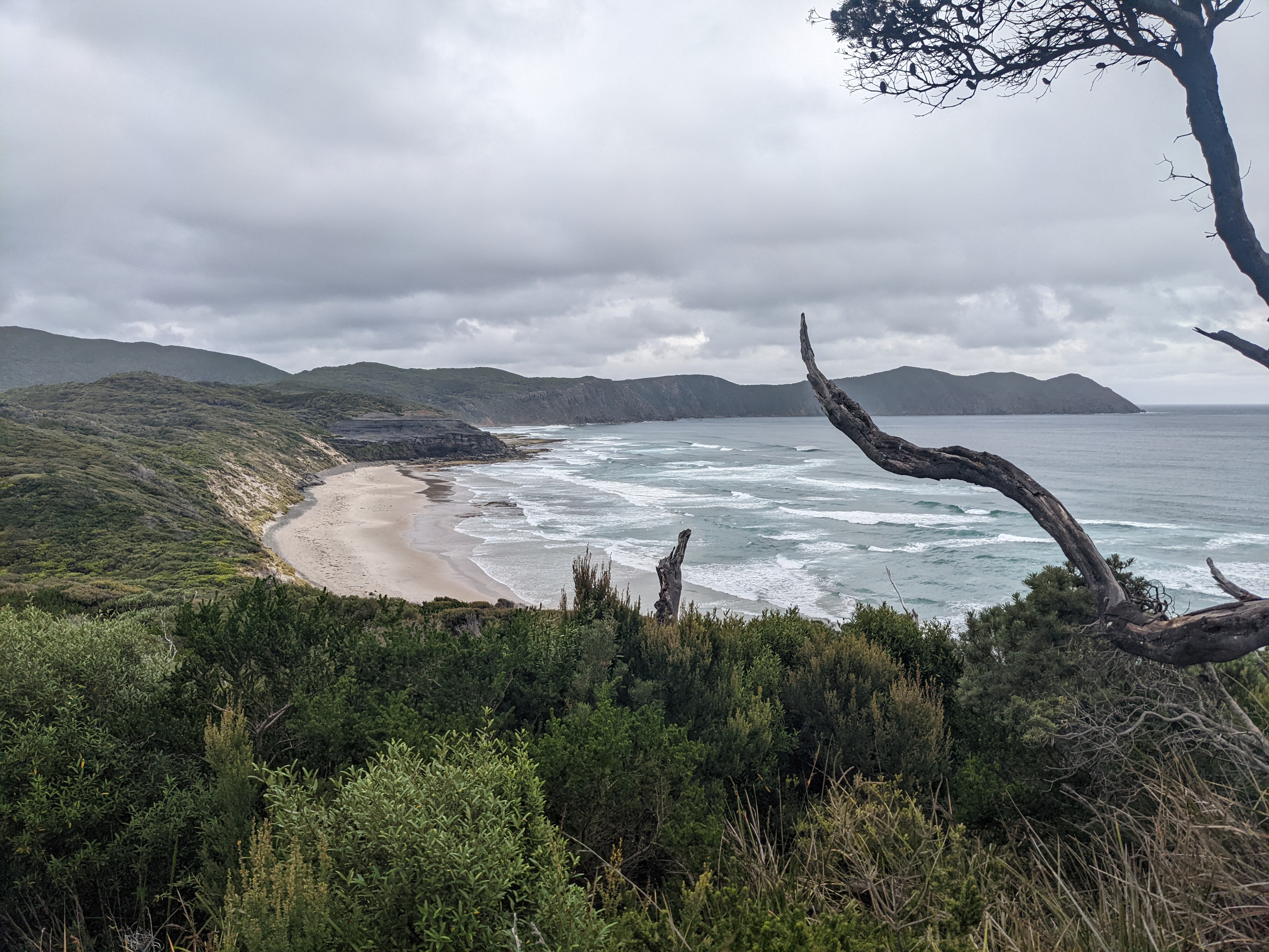
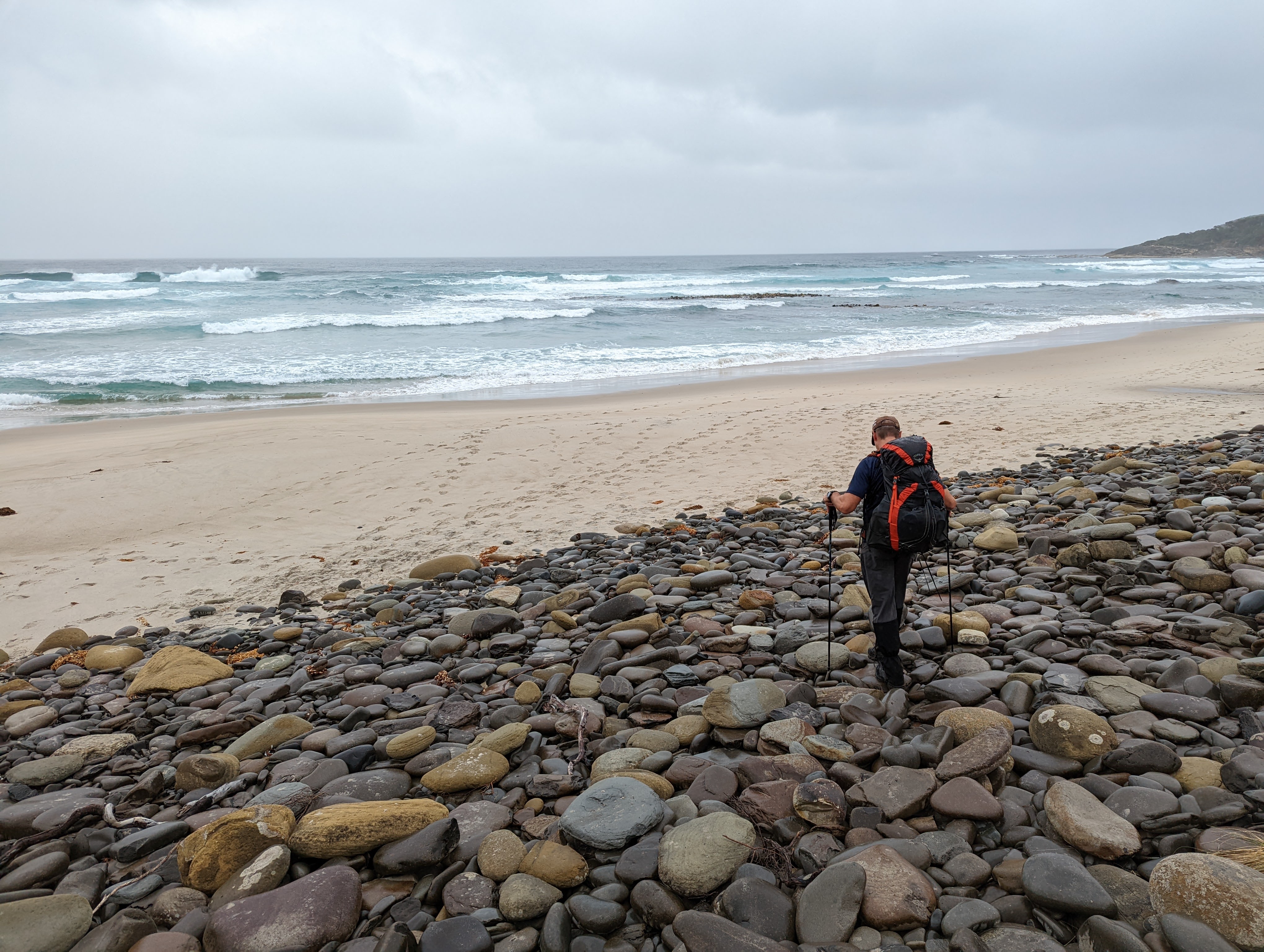
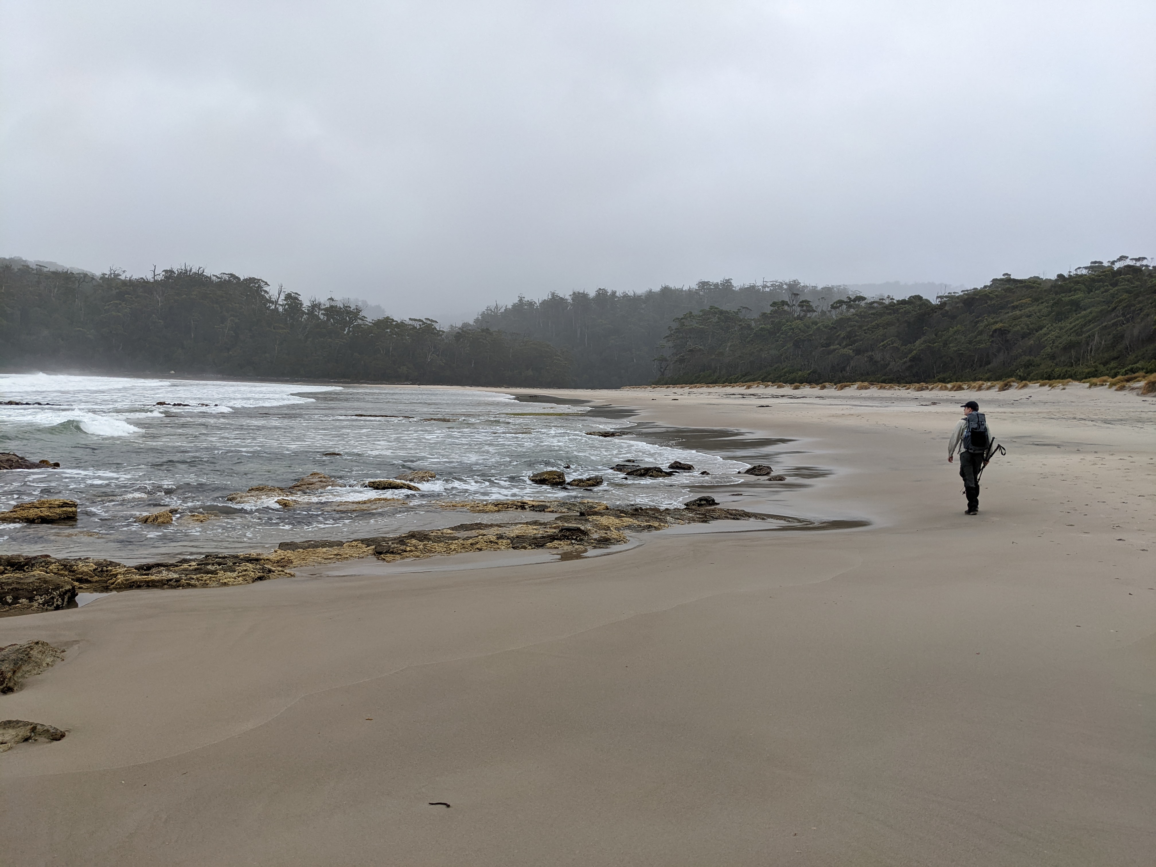
The weather had been kind to us most of the day but as the drizzle started we settled in amongst the other campers, most of whom were on the last day of their walk as they had started with the flight in and were a bit haggard compared to Will and I who were fresh, clean and chirpy.
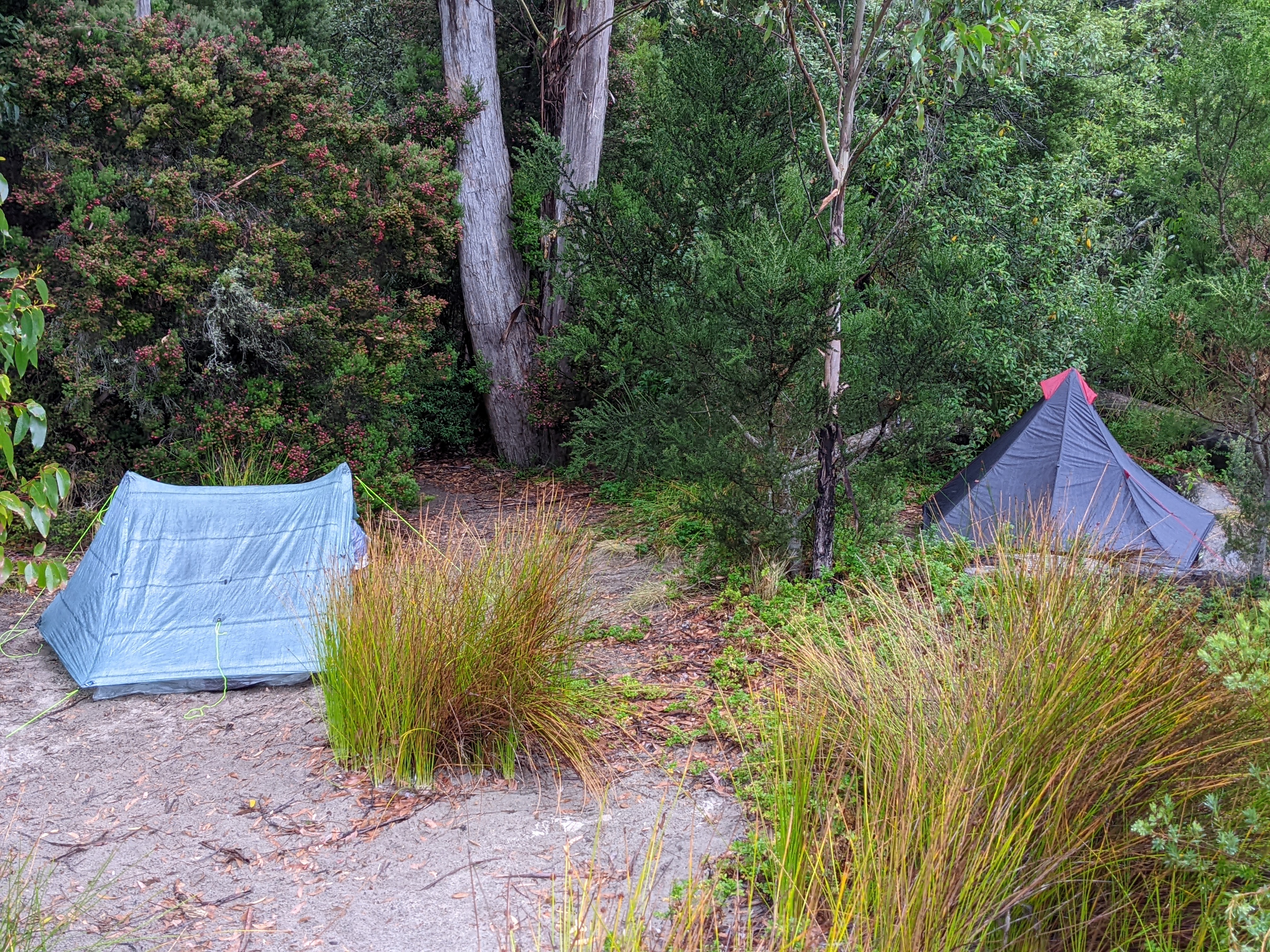
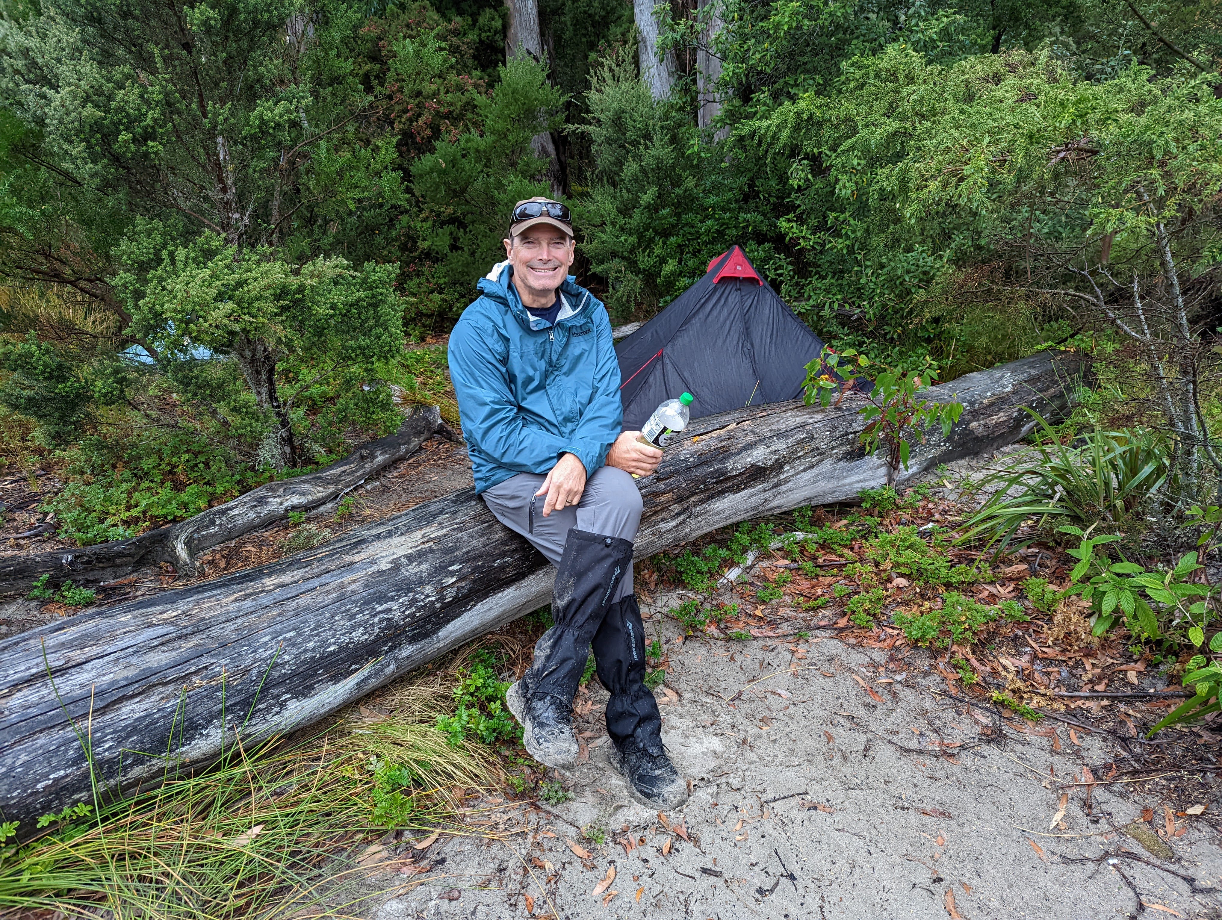
After rain all night we woke to the South Cape Rivulet having risen substantially over night and we faced our first real challenge on the walk. Crossing this fast moving stream with water up to our thighs was a risky venture and falling in (followed almost certainly by being swept away with our heavy packs) was a real possibility but we found its widest and (hopefully) most shallow spot at exactly the point the river water meets the ocean waves. So with our shoes off and walking poles for balance we carefully negotiated this sketchy crossing. Phew!
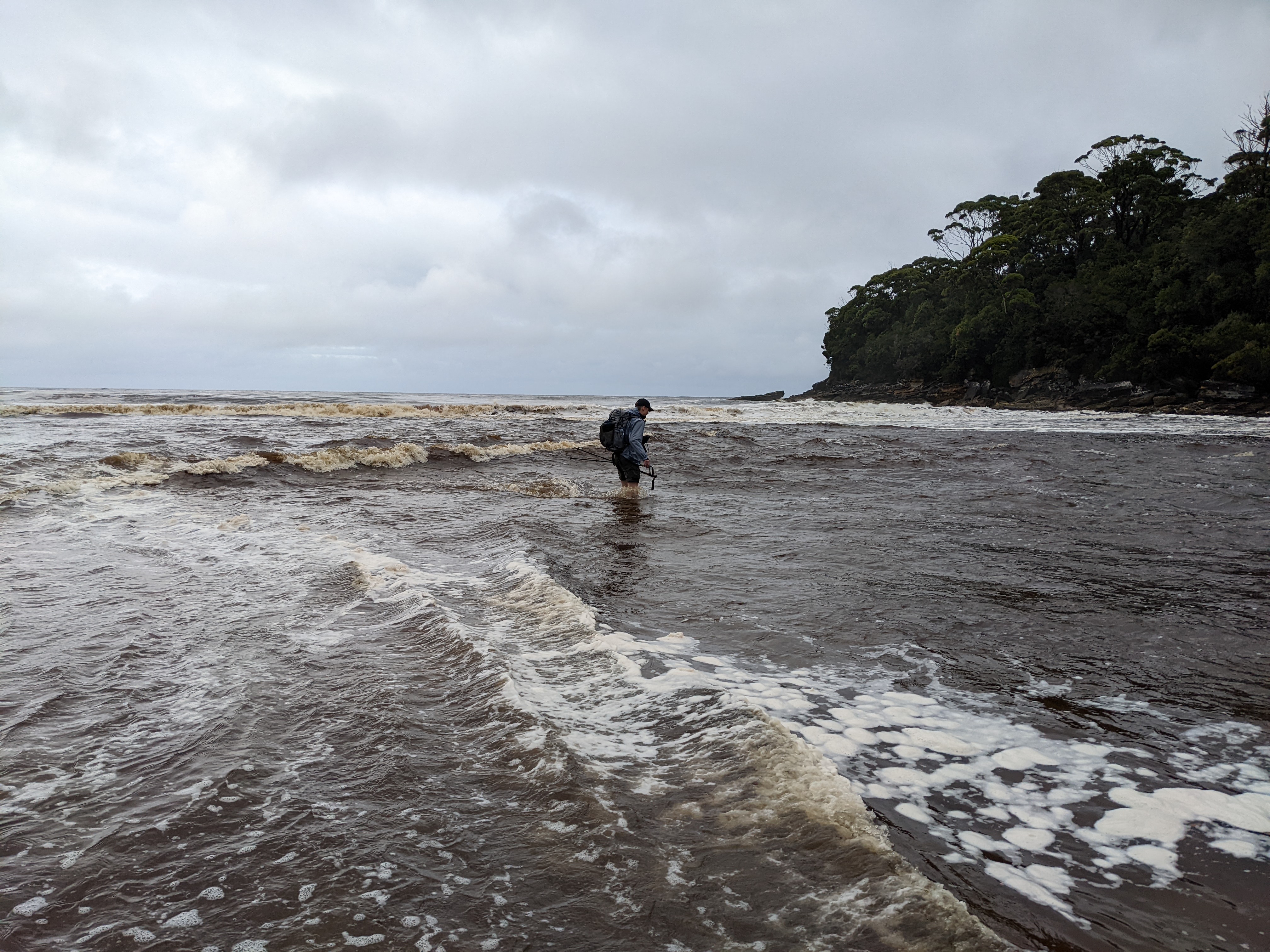
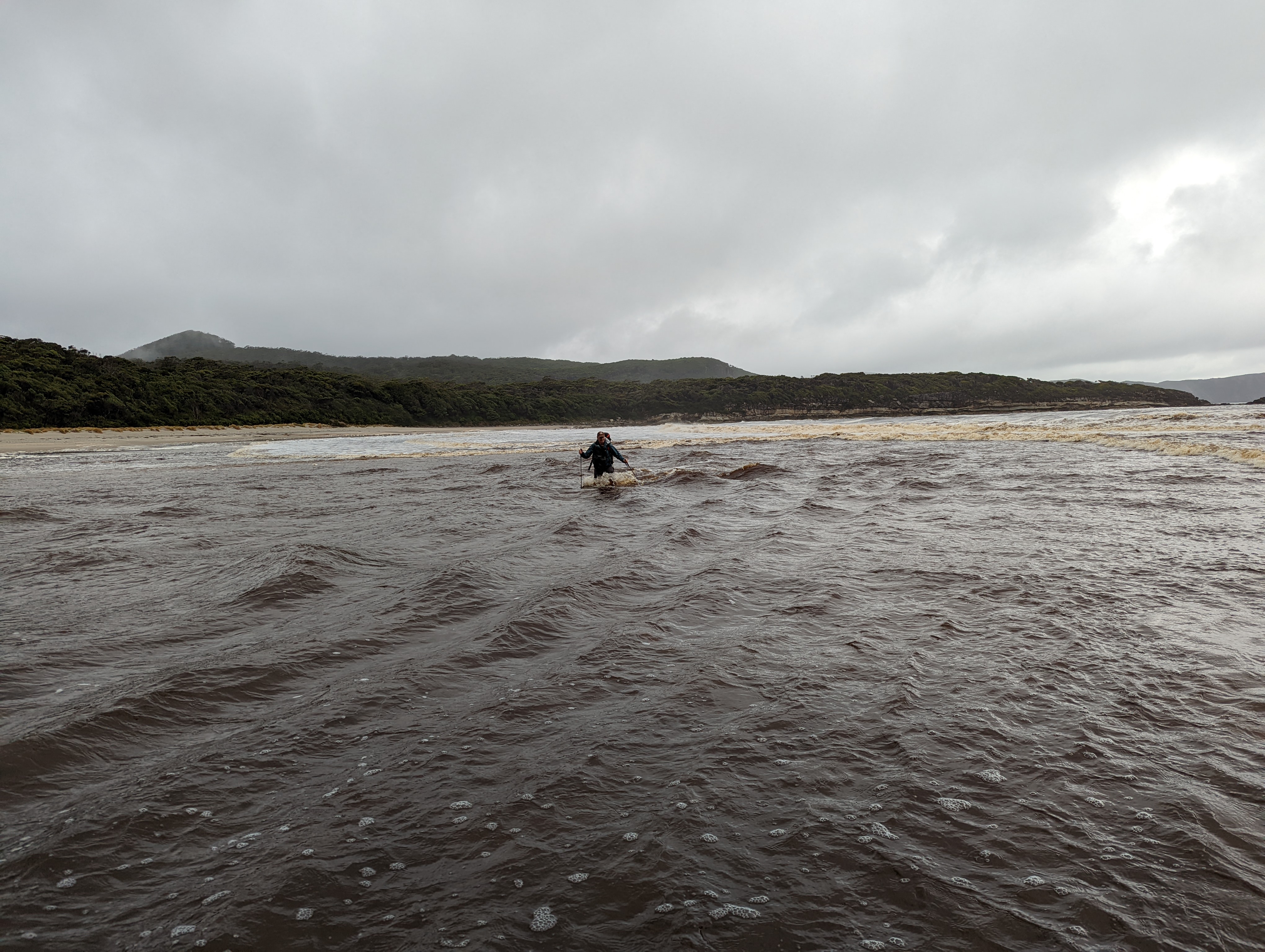
It was an ominous start to what would become the hardest day of the walk. Covering only nine kilometres from South Cape Rivulet to Granite Beach, the trail took us up and over the South Cape Range, a vertical climb of about 450 metres with two additional climbs of 250 metres and many other ups and downs. The term ‘false summit’ was never more in play.
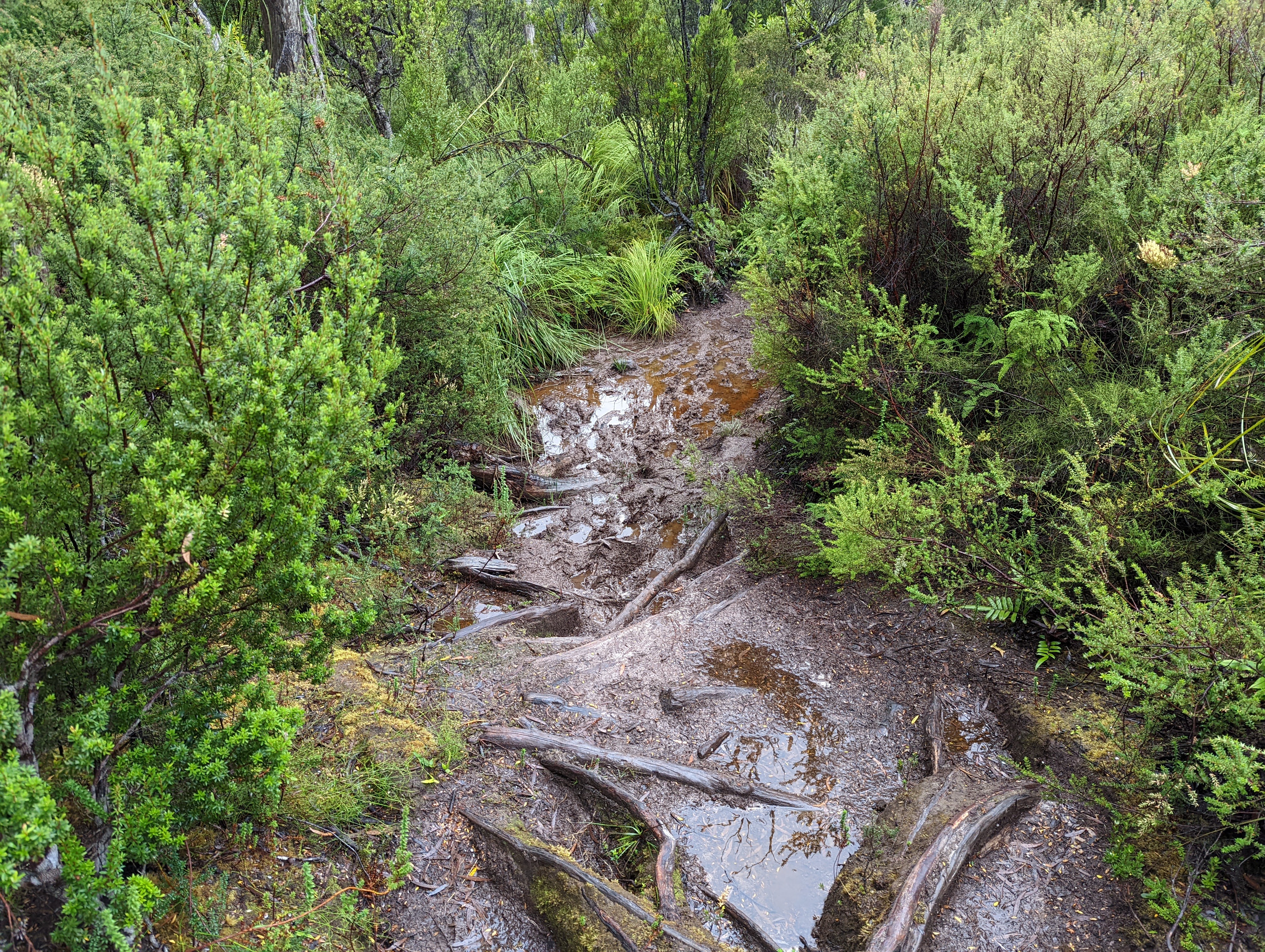
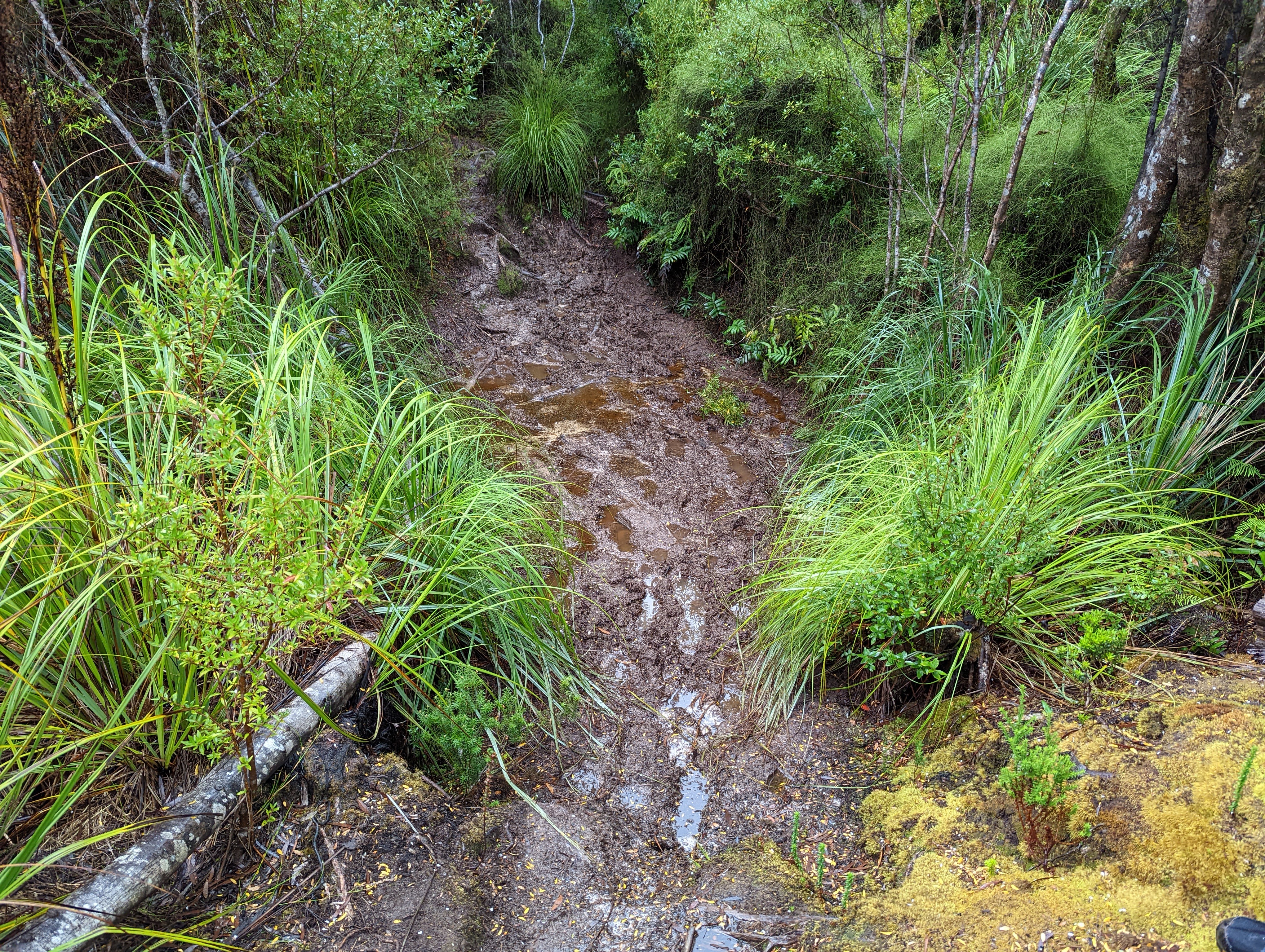
The track was made treacherous by all the rain the night before and Will and I immediately found ourselves clambering up the steep muddy track, thick dripping rainforest all around us, rain constantly falling.
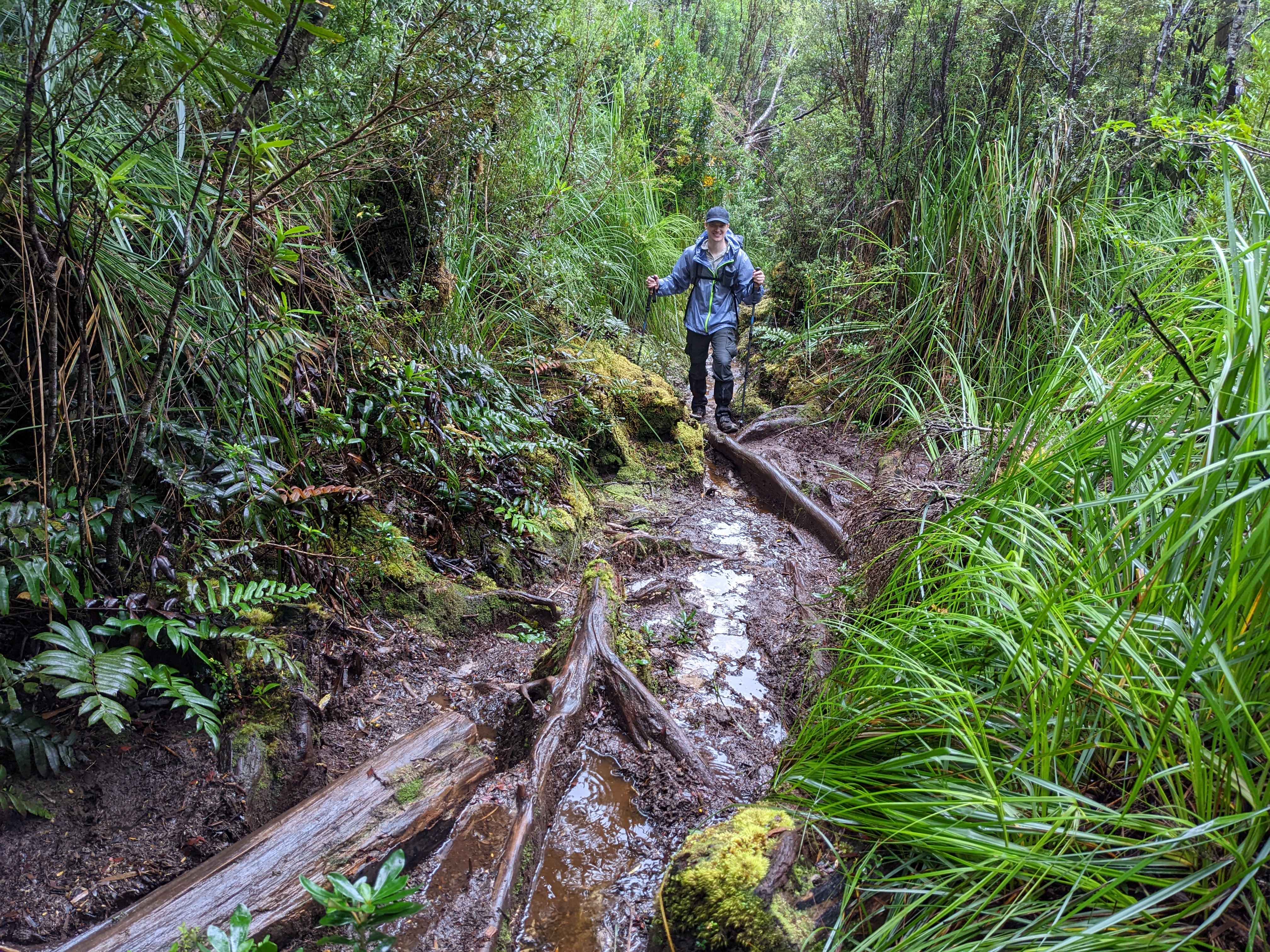
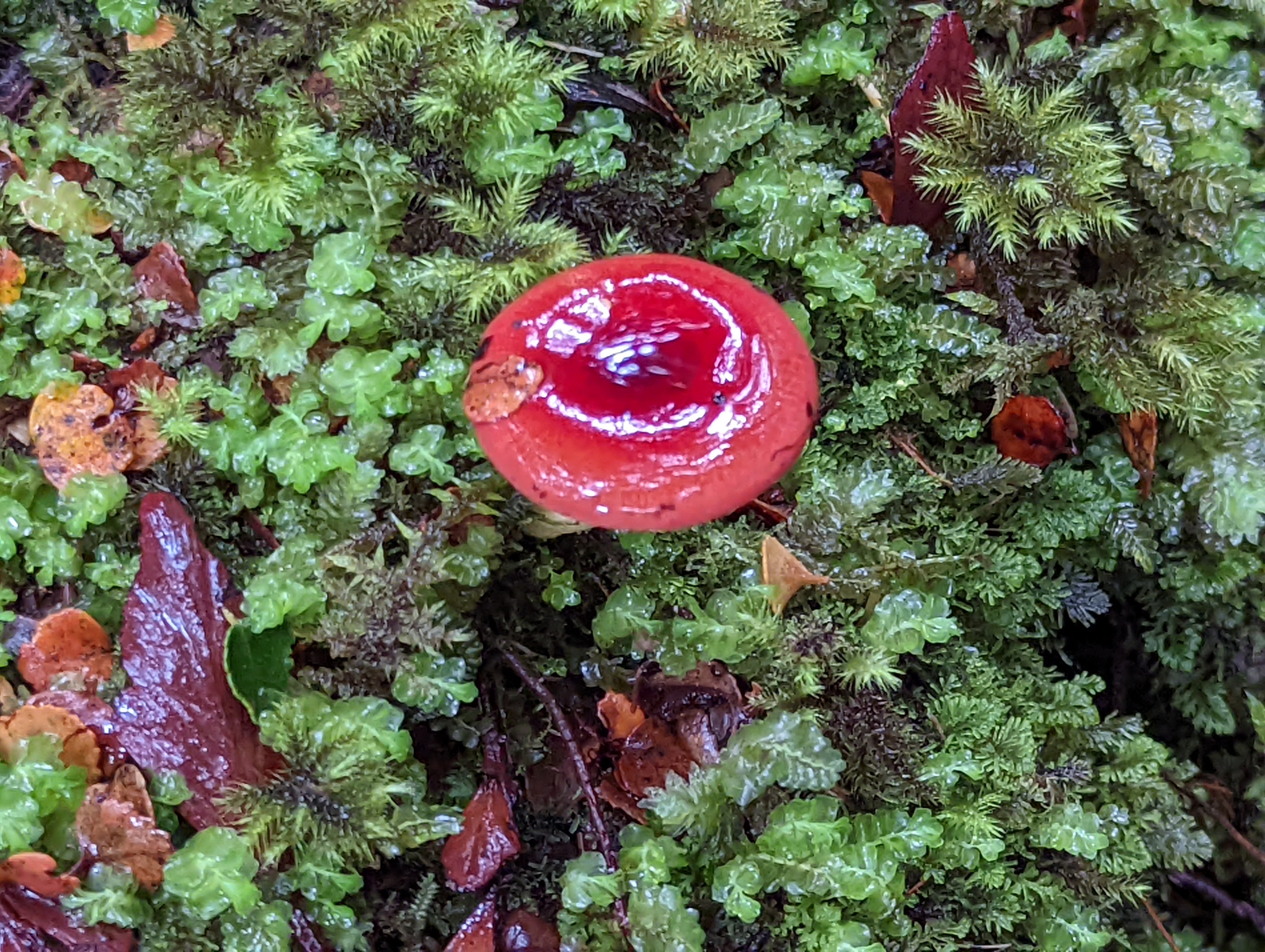
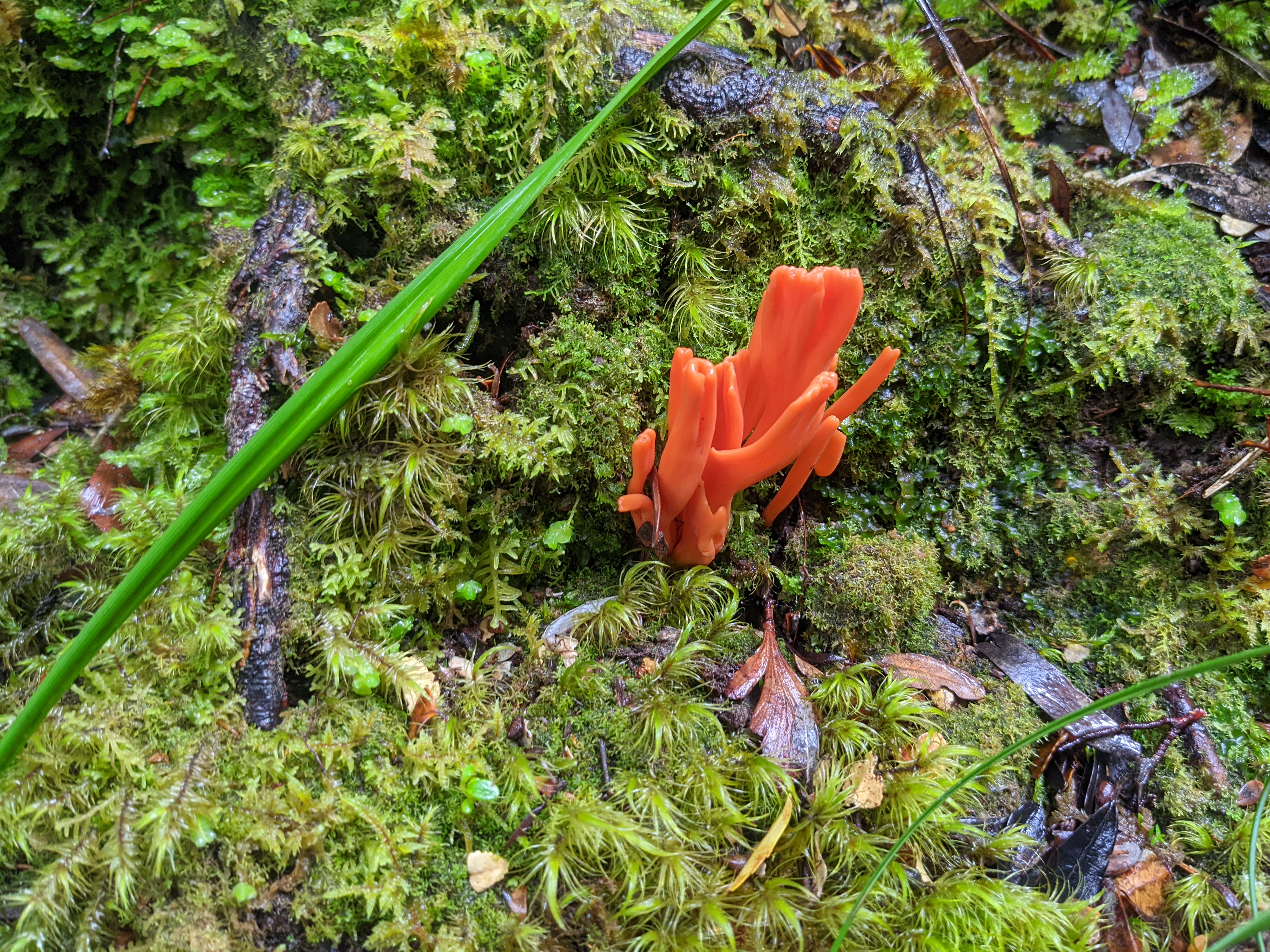
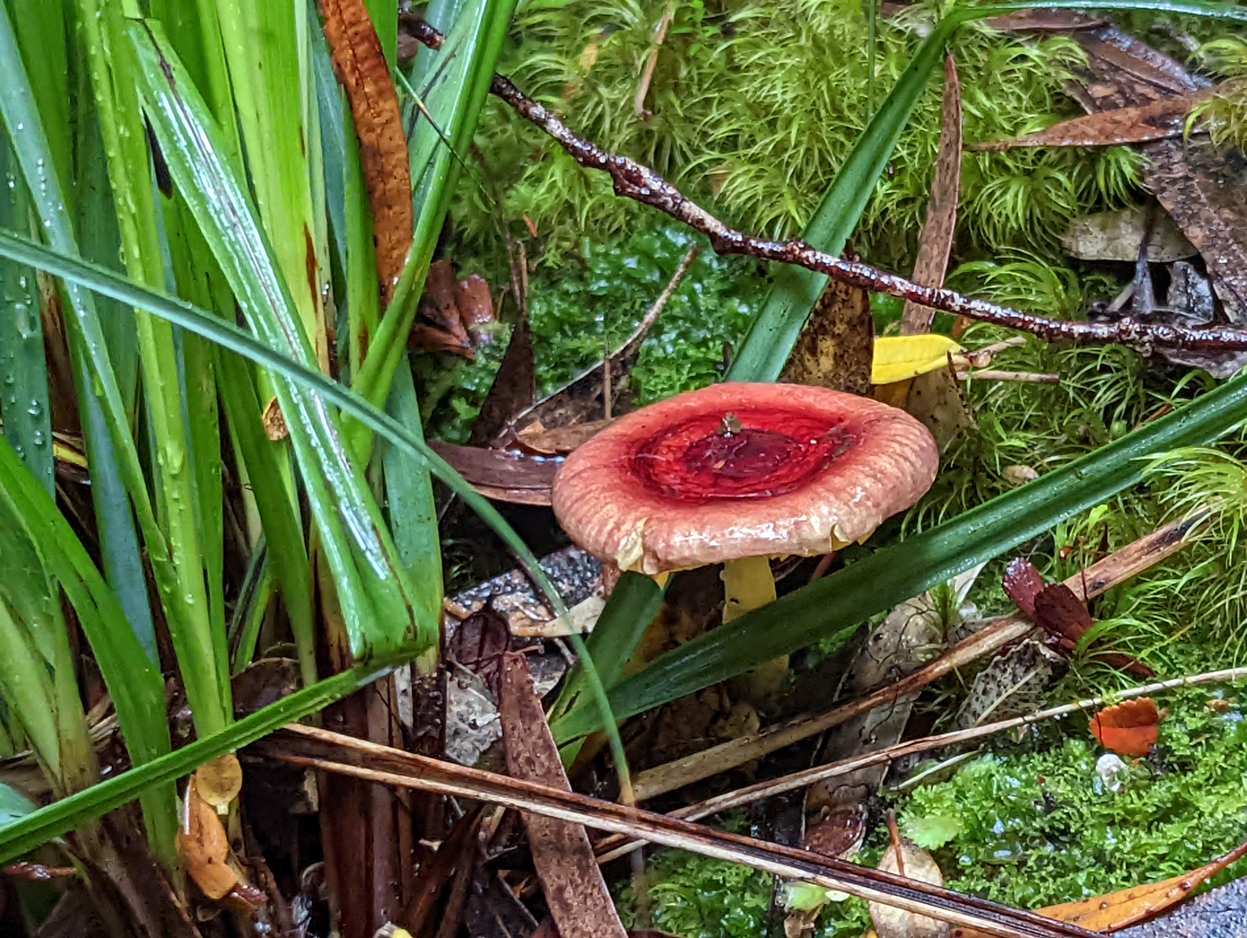
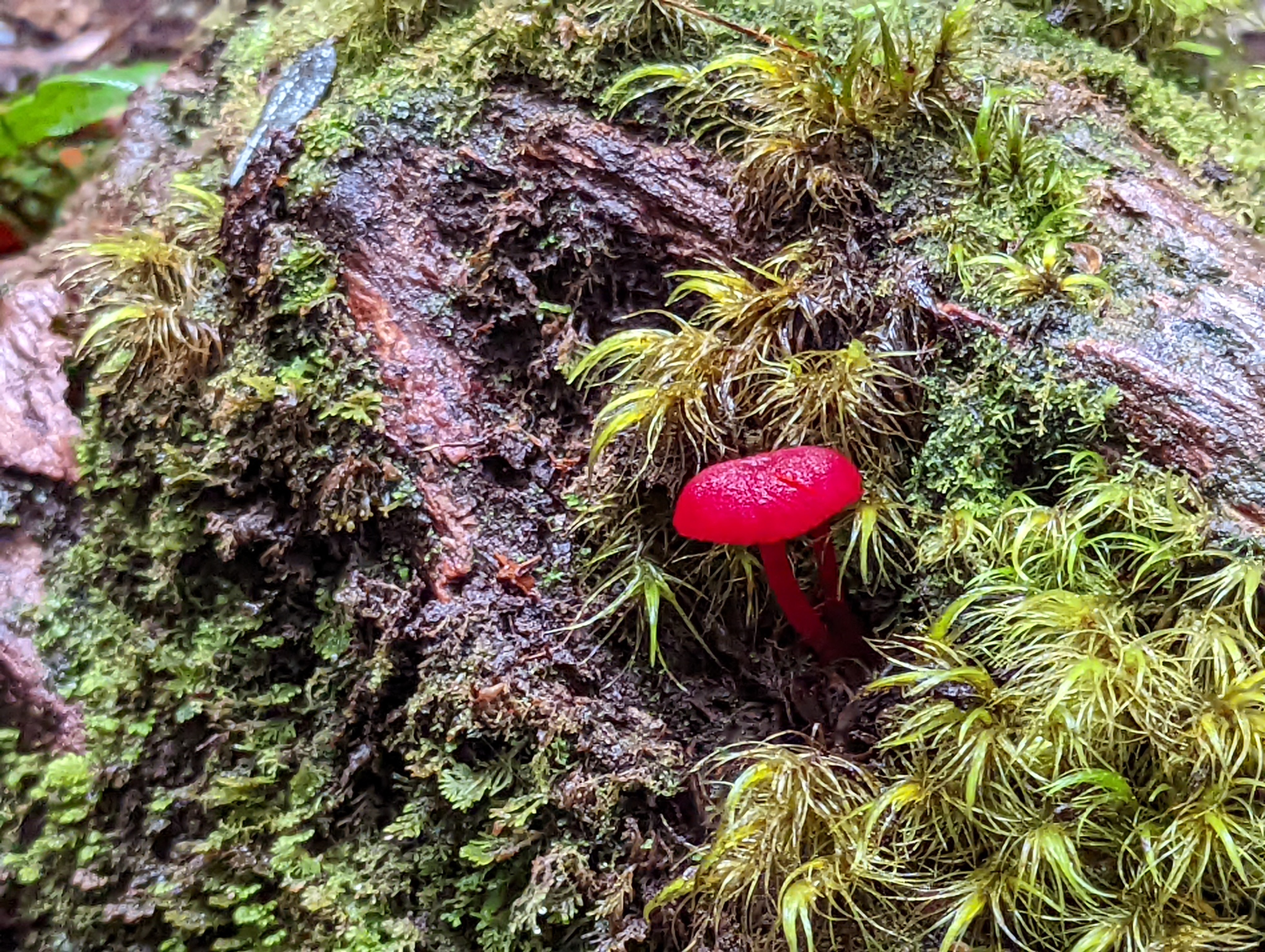
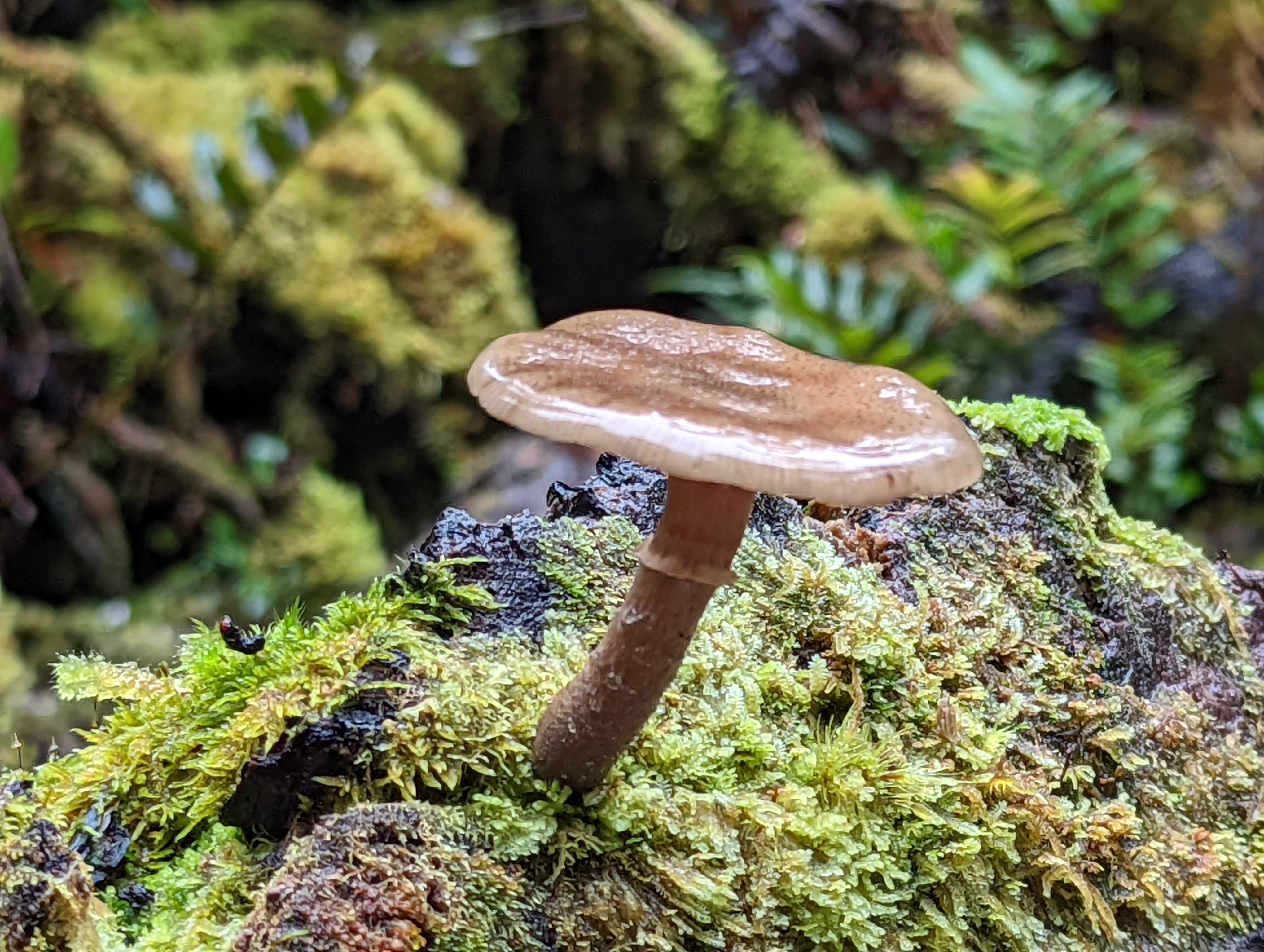
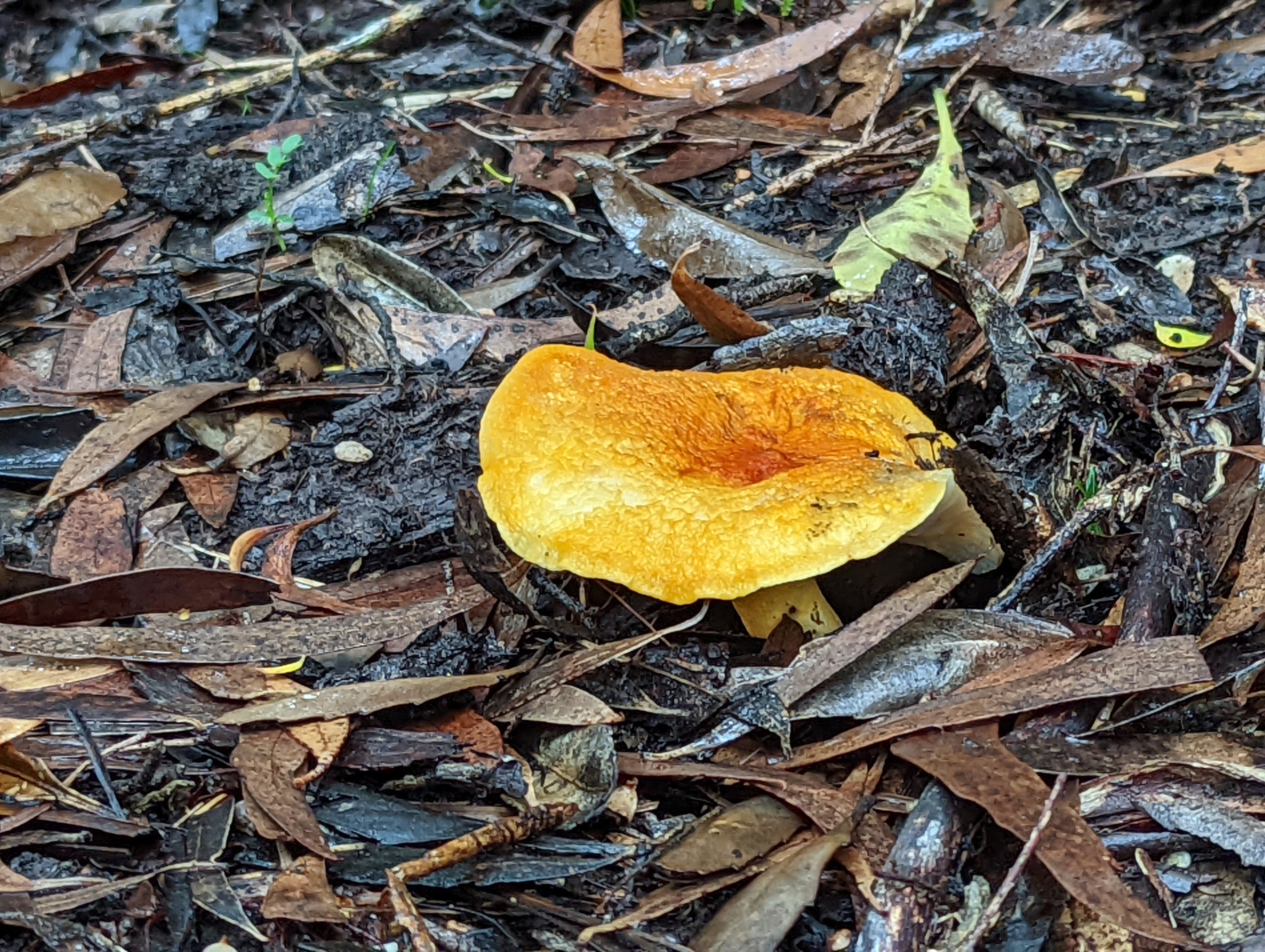
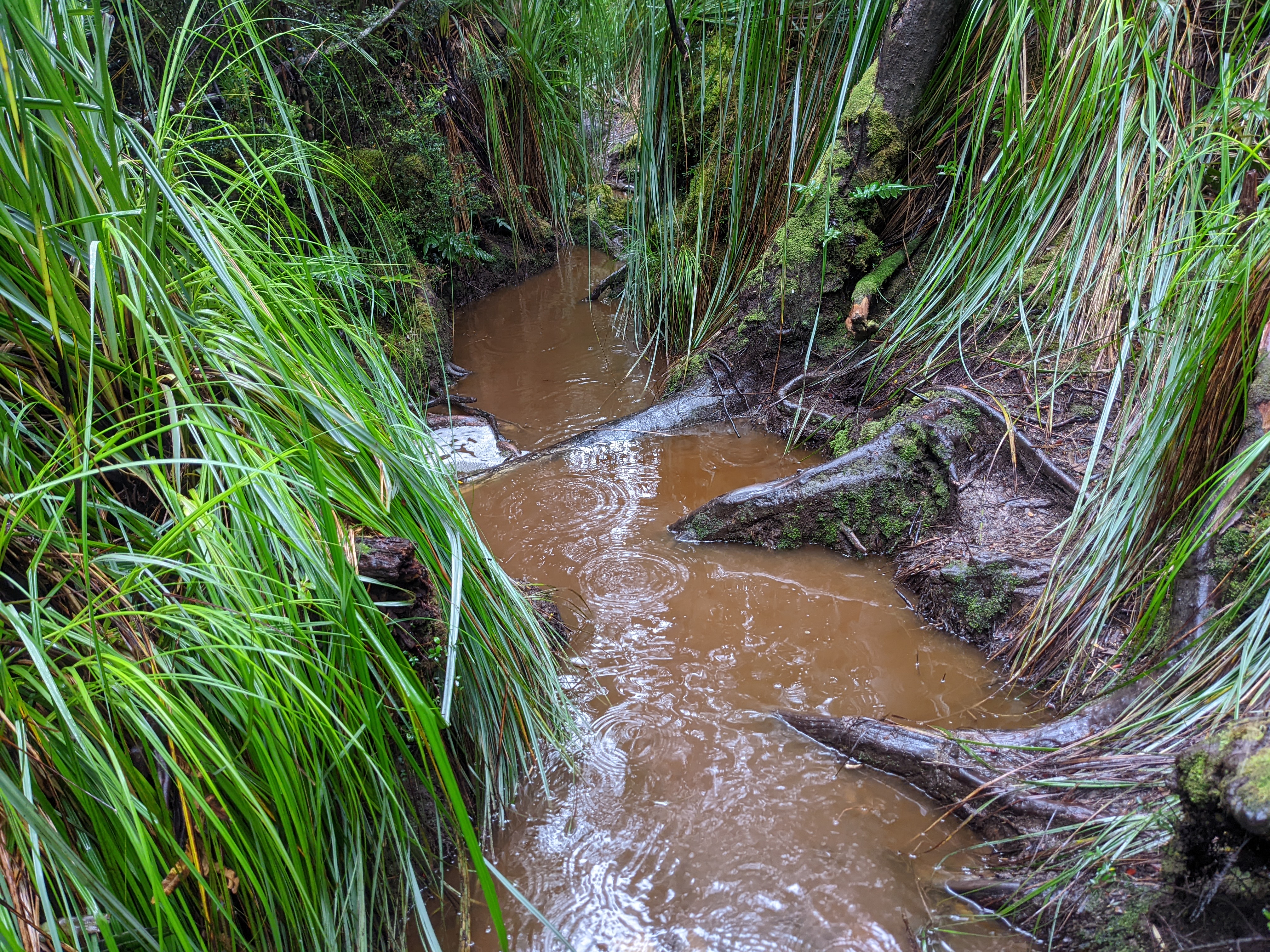
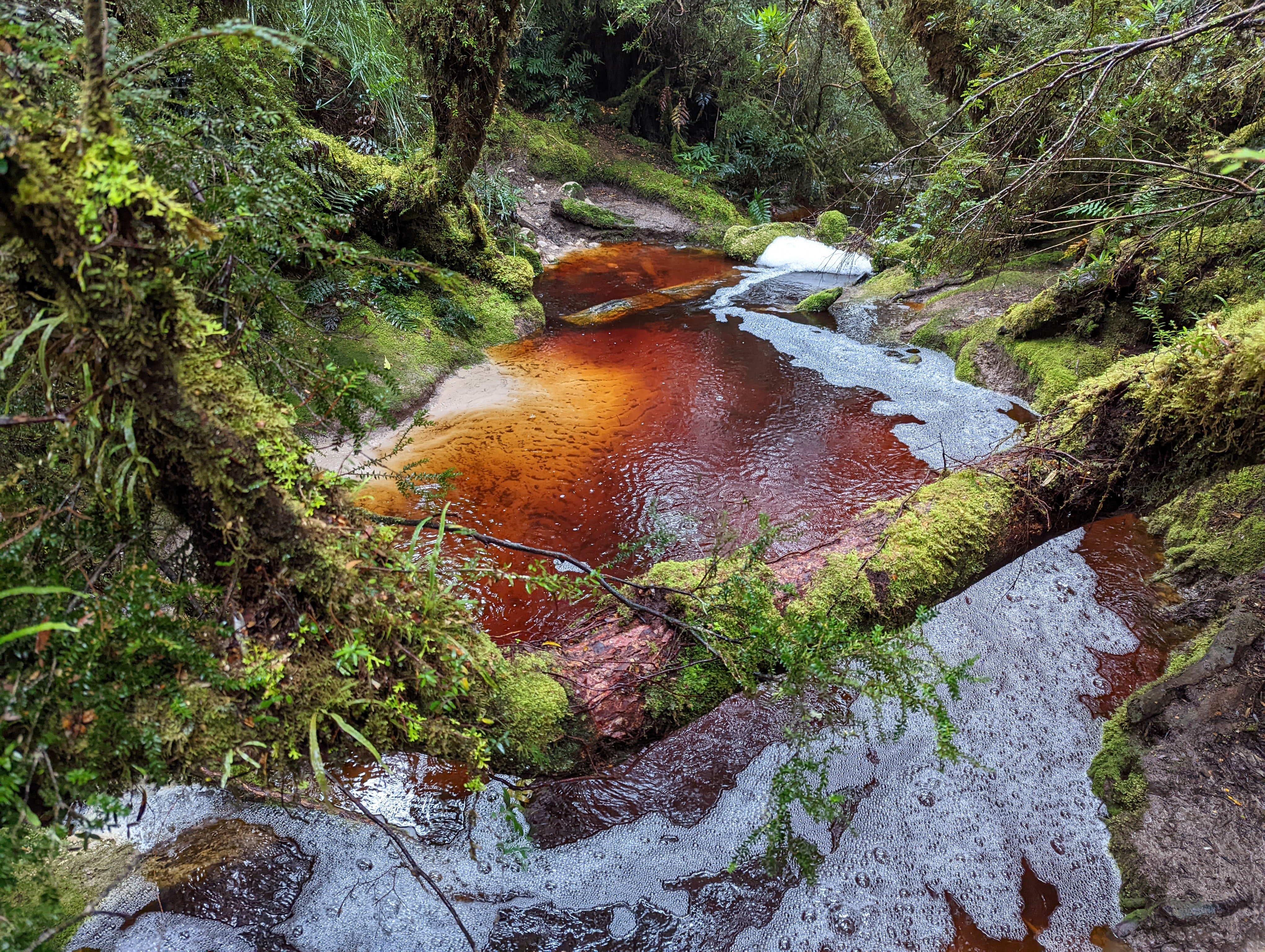
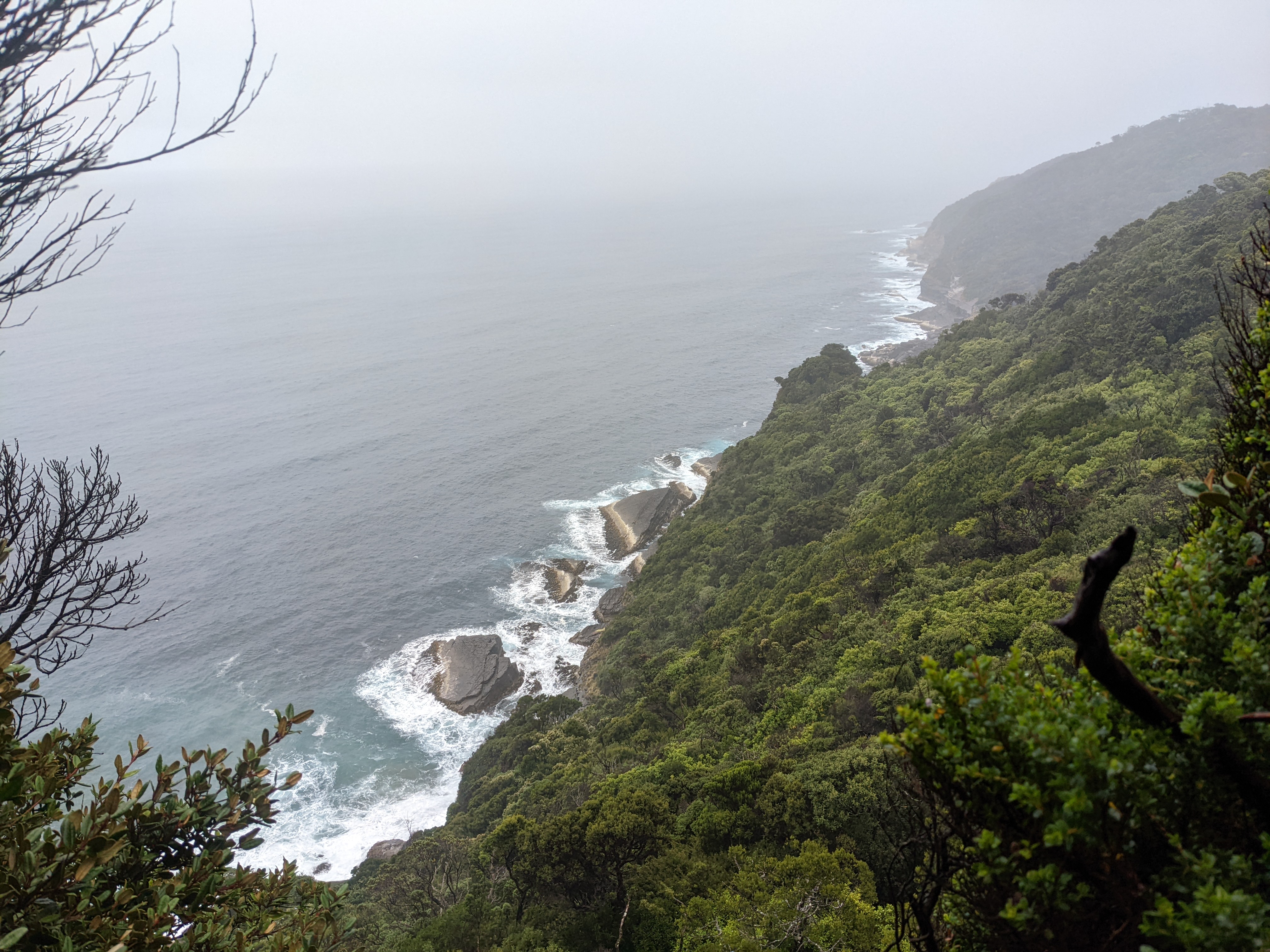
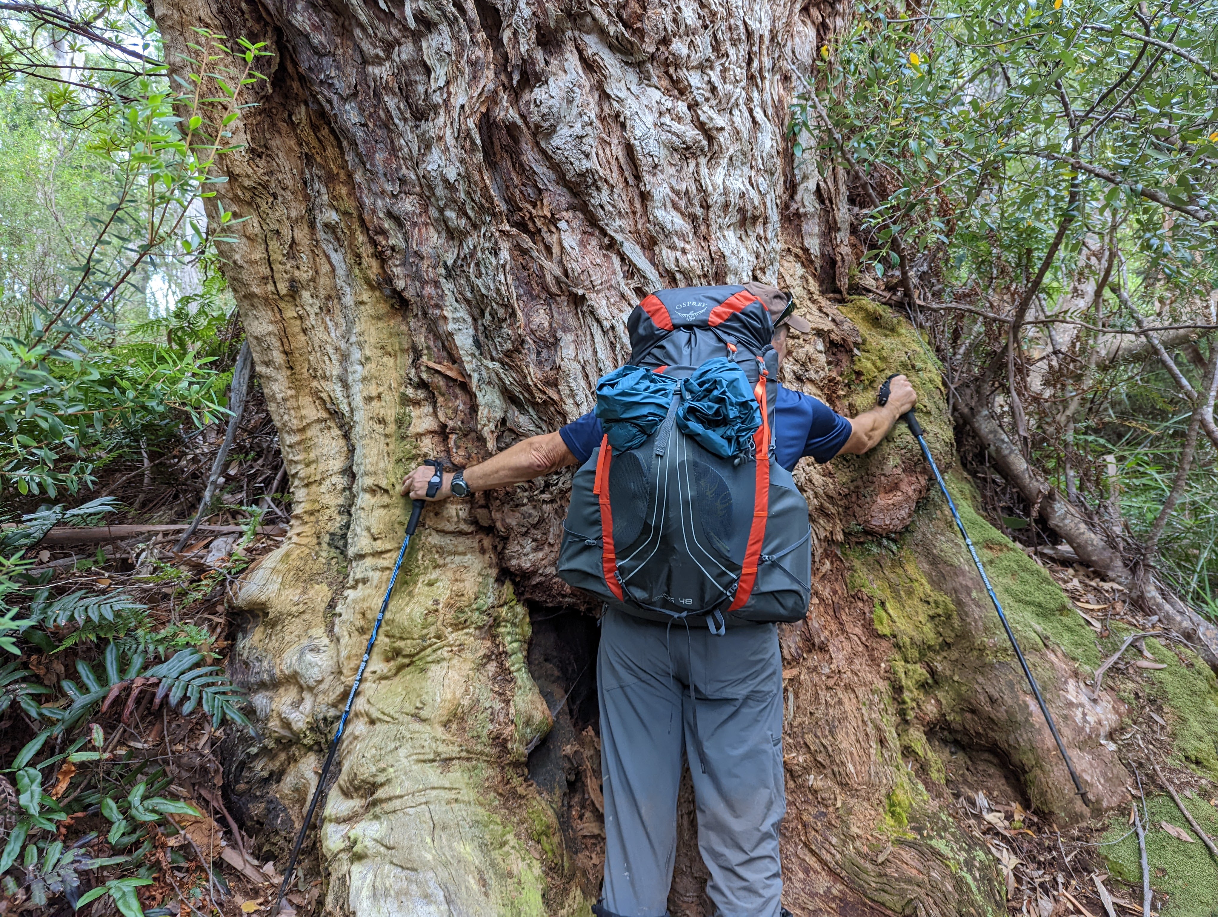
Long sections of the track were unavoidable thick gooey mud where we would sometimes sink past our ankles, other times climbing over extensive buttress root systems, ducking under fallen branches, jumping from rock to rock, the trail sometimes a running stream. Leeches clung to our shoes and fell from the trees whenever we paused to catch our breath. Twice I fell into the bottomless mud up past my knees. Occasional aerial views of the long coastline below us barely compensated. This track was seriously hard going.
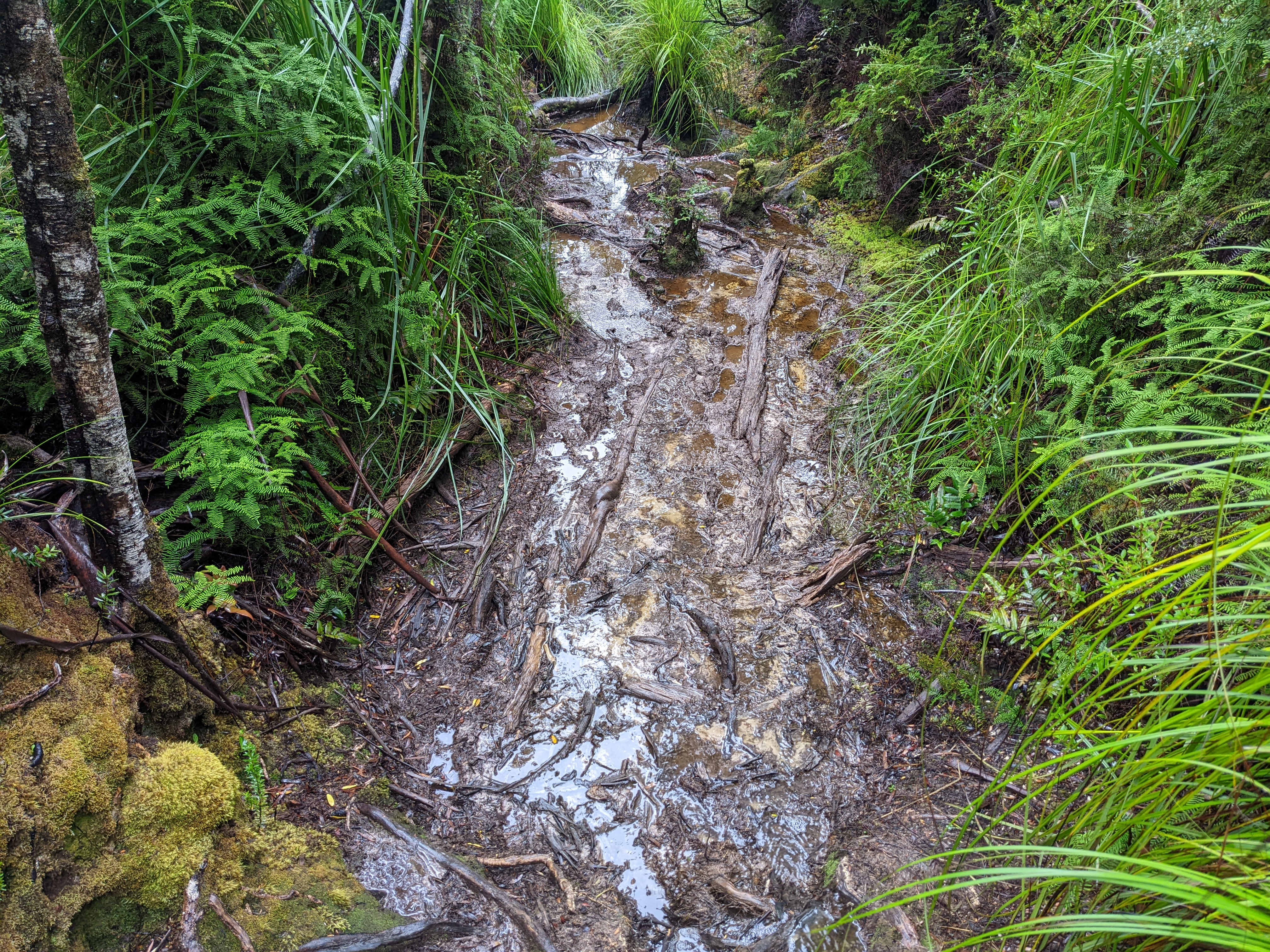
Astonishingly, this nine kilometre section took us nine hours to complete, testament in itself to the extreme challenge it presented under very difficult wet conditions. Will and I were shattered by the time we set up camp at Granite Beach and after dealing with shoes full of mud, all the leeches and bull ant bites we slept very well.
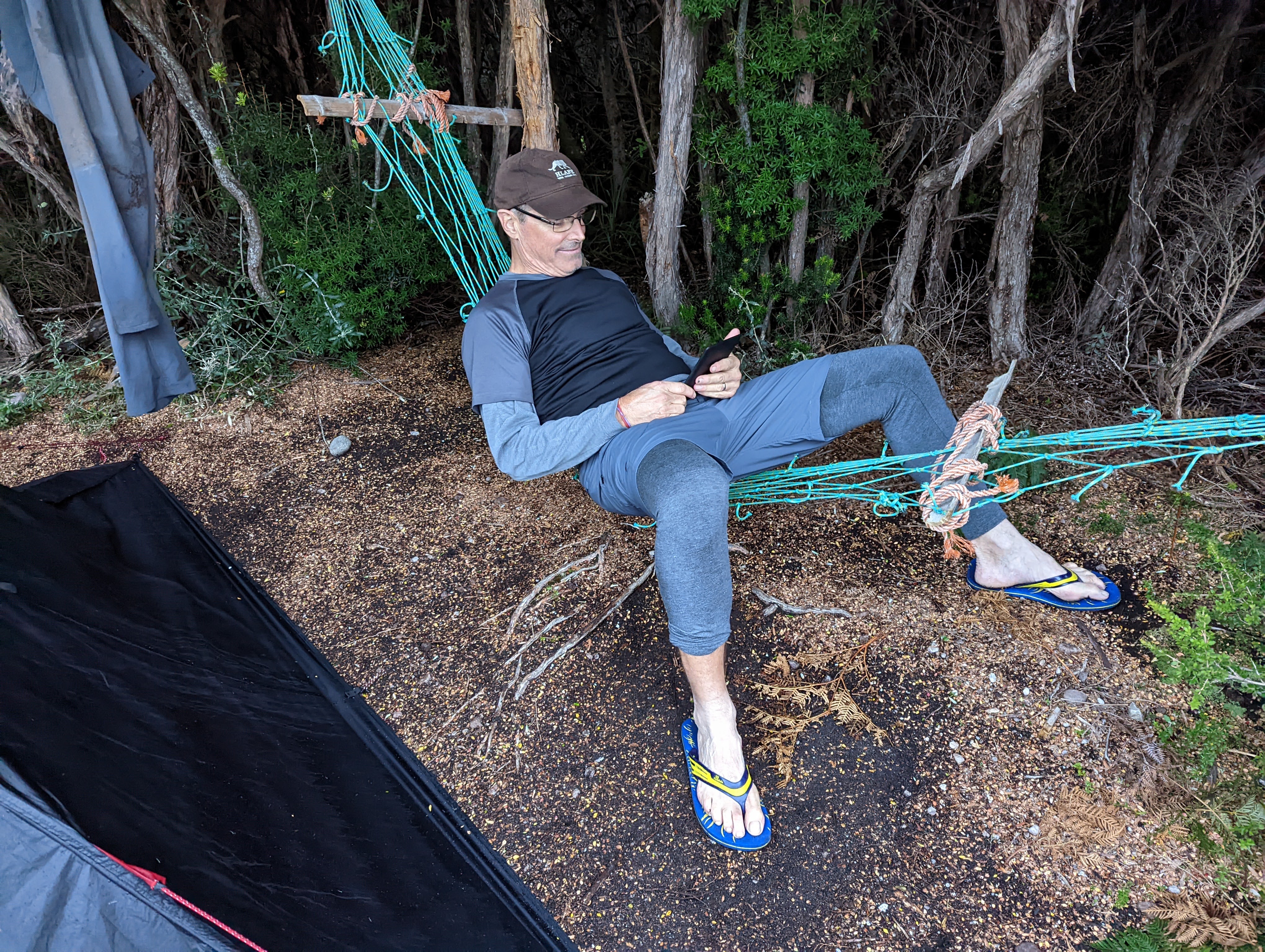
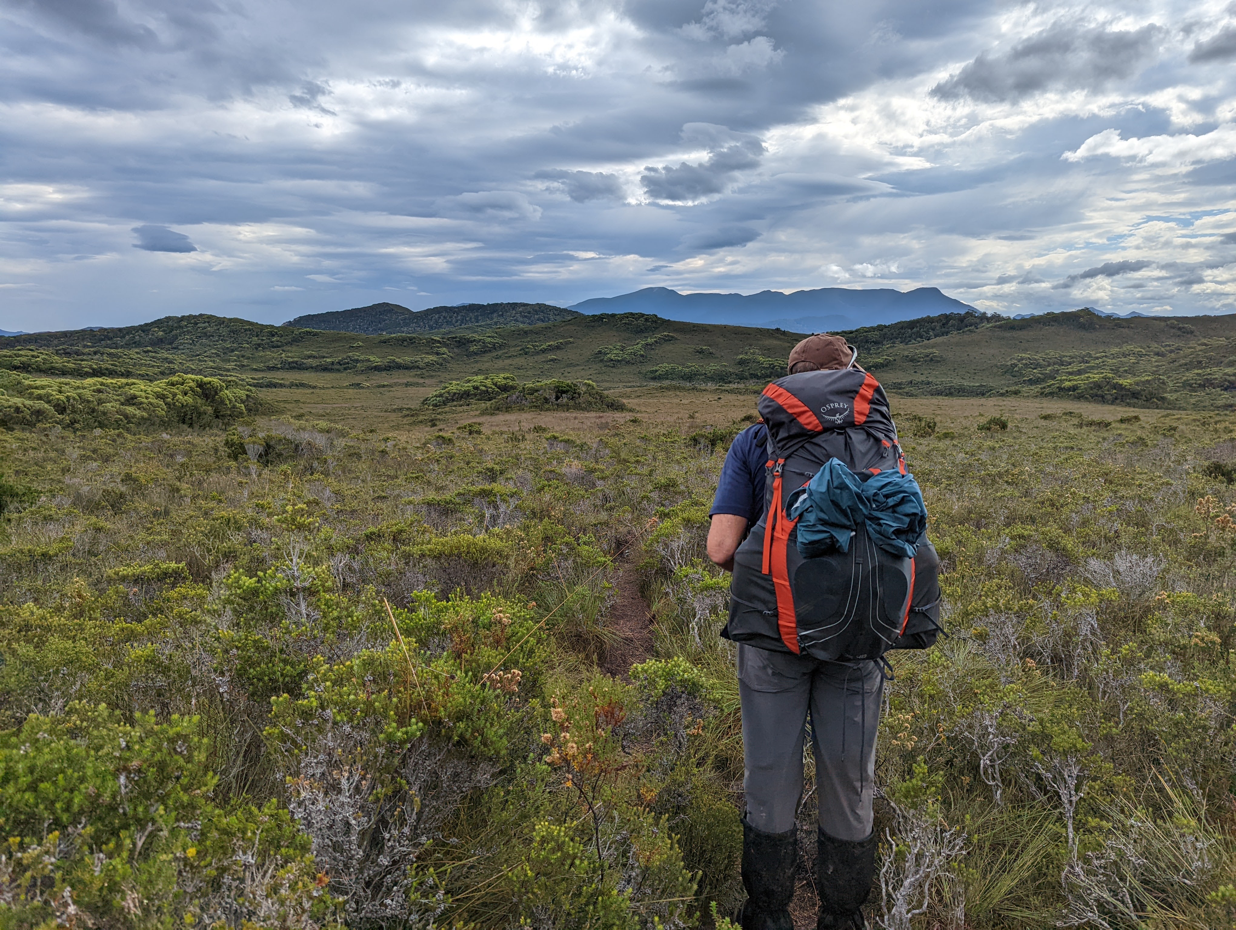
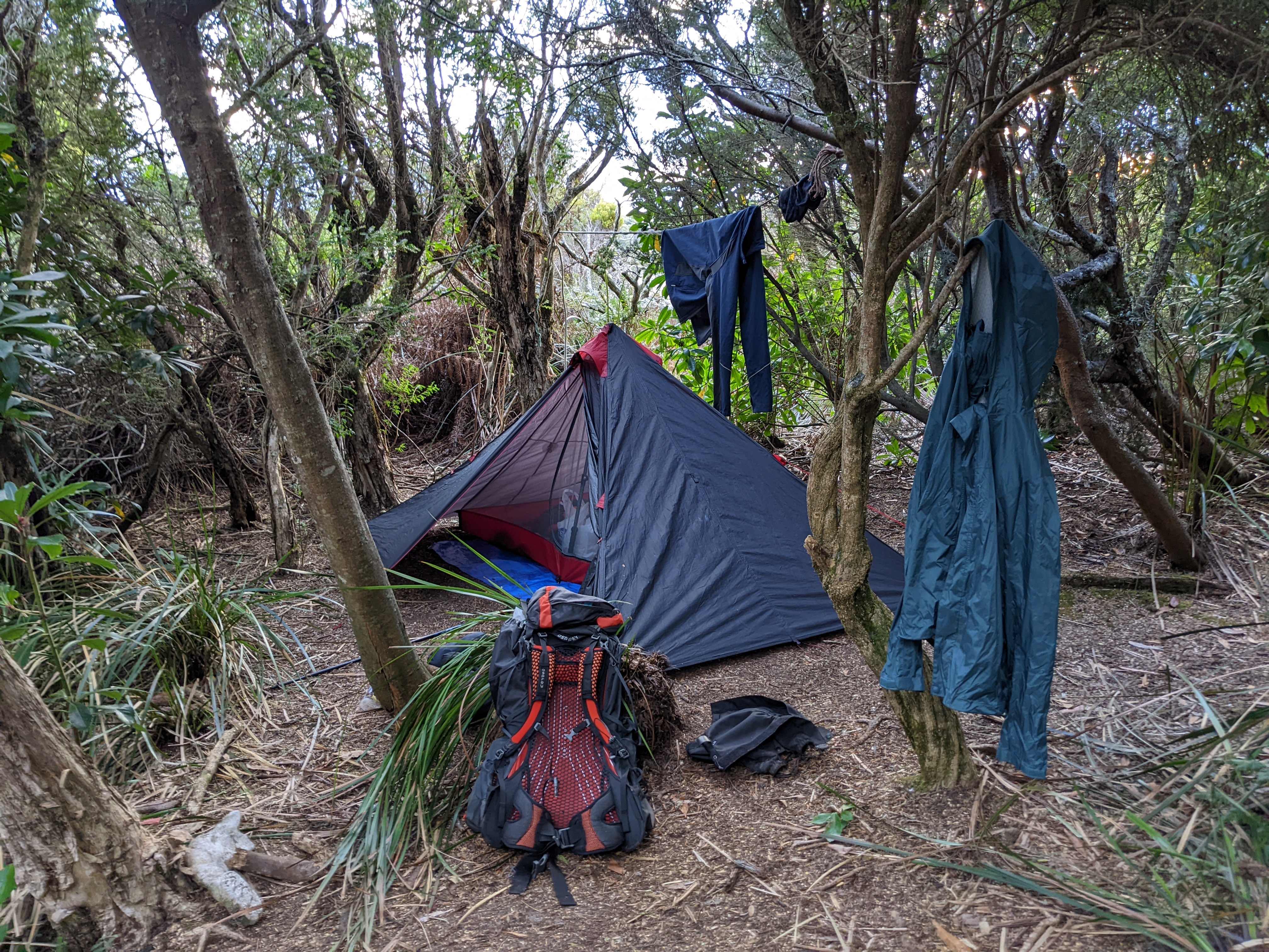
Will and I were travelling ultra-light, which basically means we made many concessions on comfort in order to travel as light as possible. Initially inspired by Will’s younger brother Zach, ultra-light backpacking means the first priority of any equipment decision is weight. So Will and I had no cooking equipment or food to cook. We ate cold food throughout the hike, had only a set of day time clothes which were usually wet and night time clothes which stayed dry. We only carried a maximum of two litres of water at any one time and wore trail runners rather than big hiking boots.
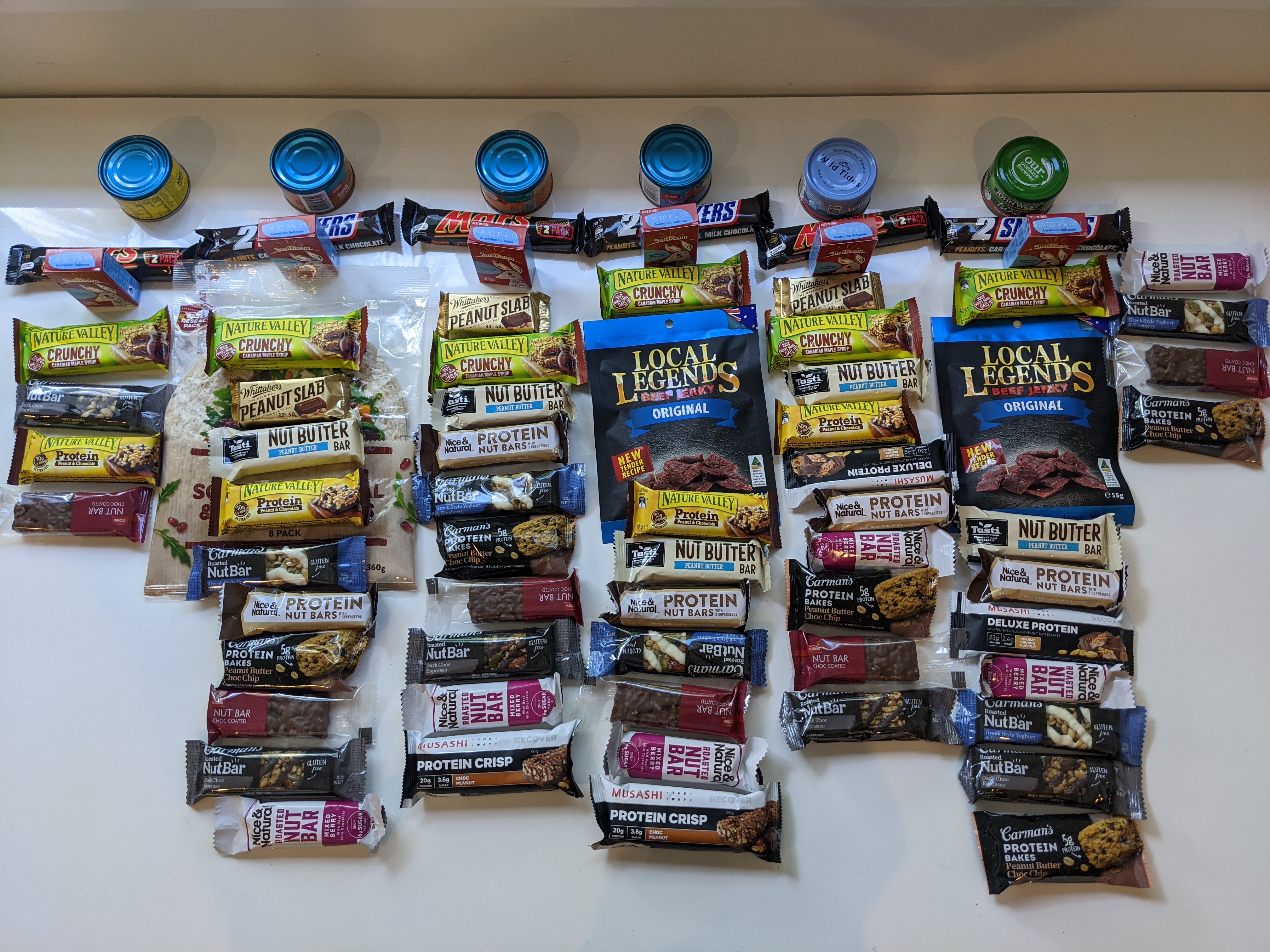
We also own specialist lightweight gear so our base weight before food and water was only seven or eight kilos (about 16 pounds). My total pack weight, including seven days of food, full on water and everything else was 15.2 kilos (33 pounds). Will’s pack was substantially less.
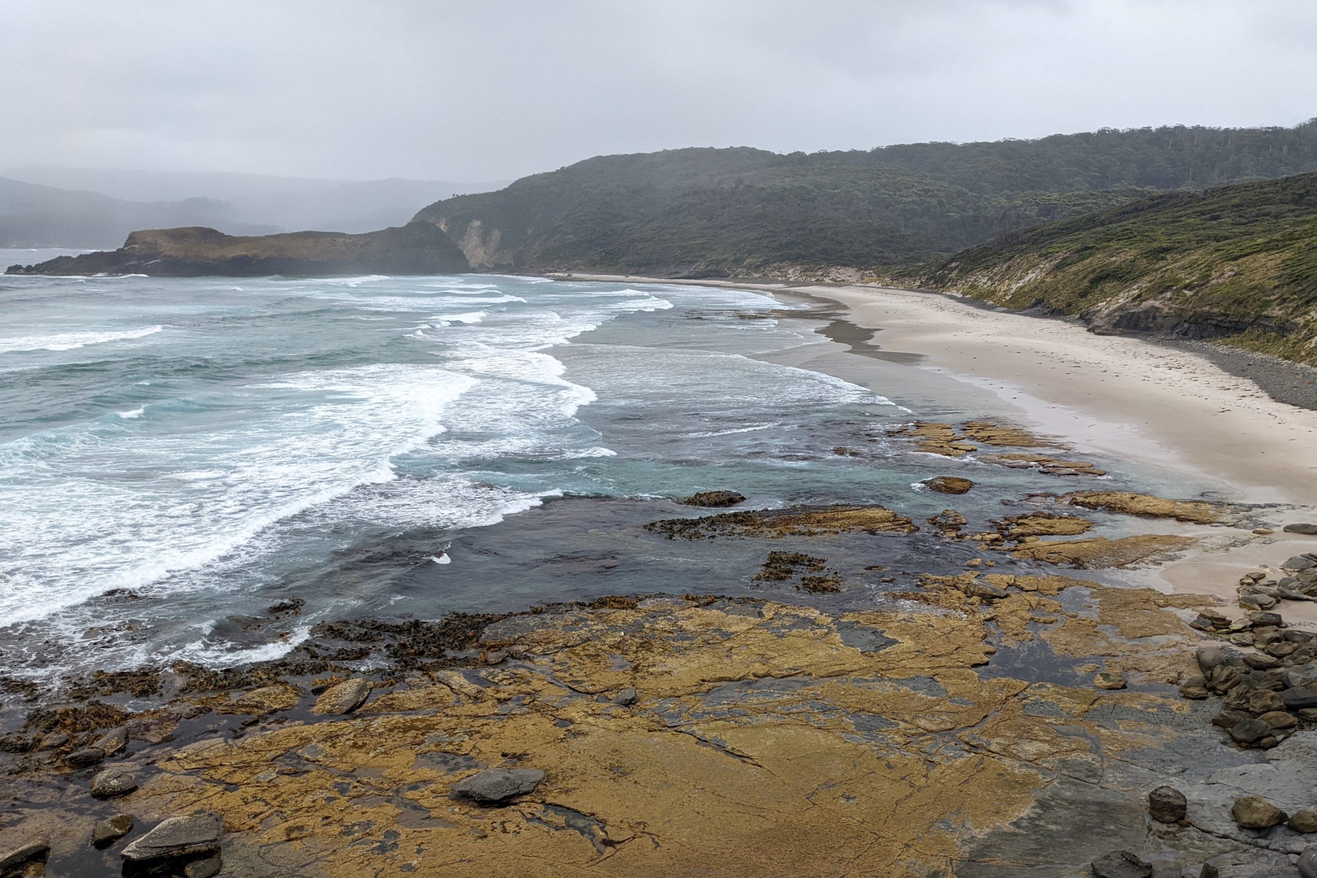
And the lighter packs were a godsend, especially for this old guy with a dodgy back. The next day we headed further west along the coast to New River Lagoon, a 12 kilometre walk that featured better weather than the previous slog of a day. But a pattern had started to emerge where the trail traverses a long sandy beach followed by a steep climb over a headland, stunning views of the sparkling sea below us, more up and down climbing, some crossing of open button grass moorland, more mud, more rewarding coastal views.
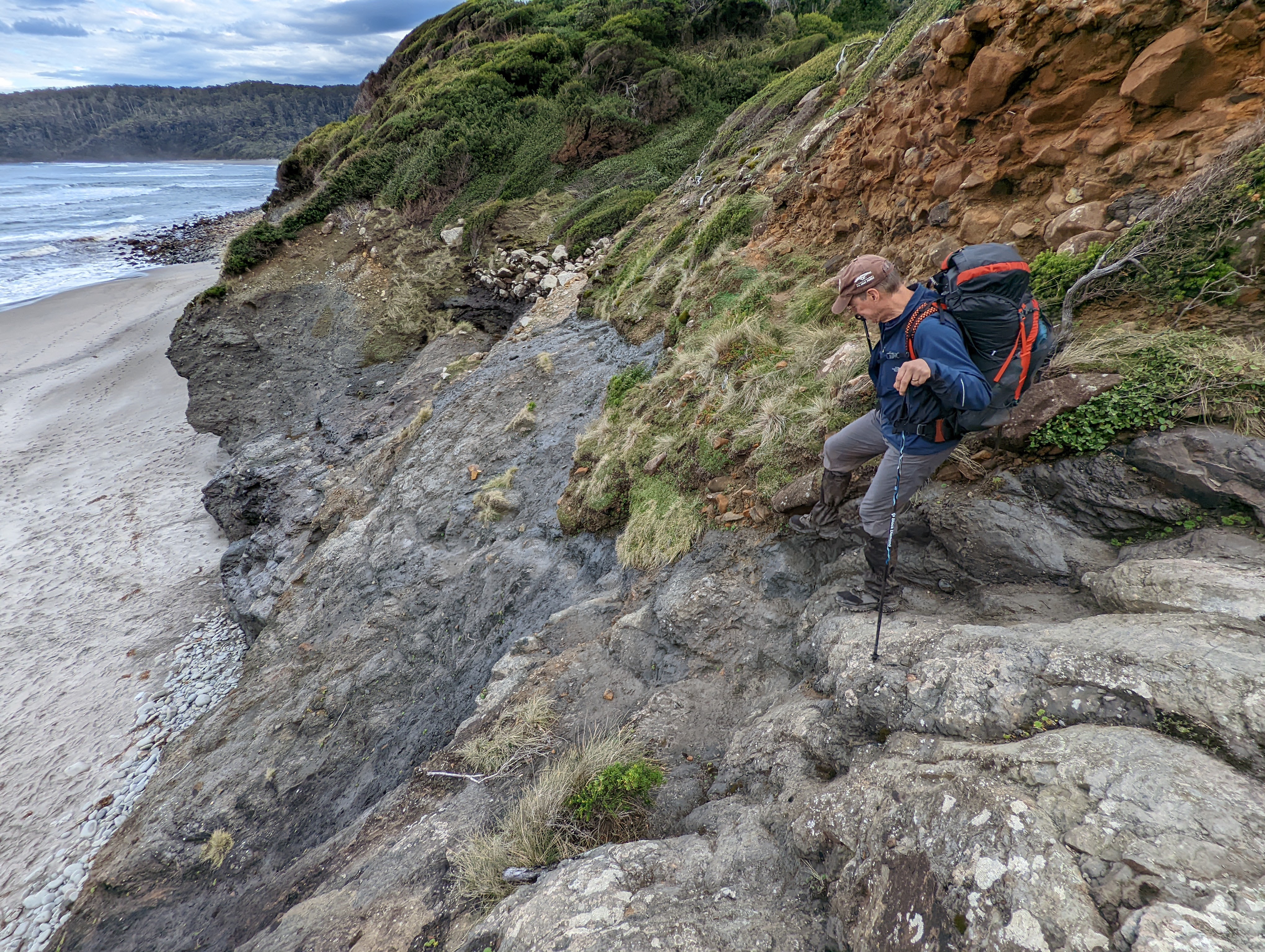
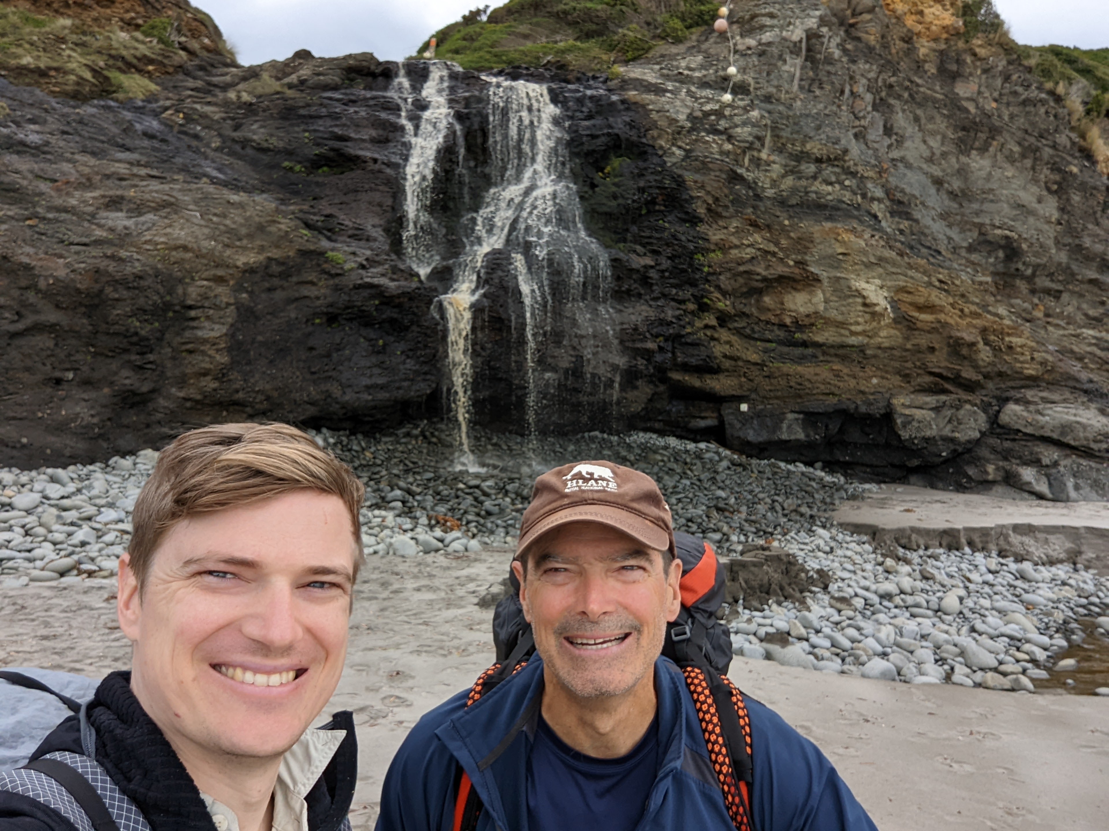
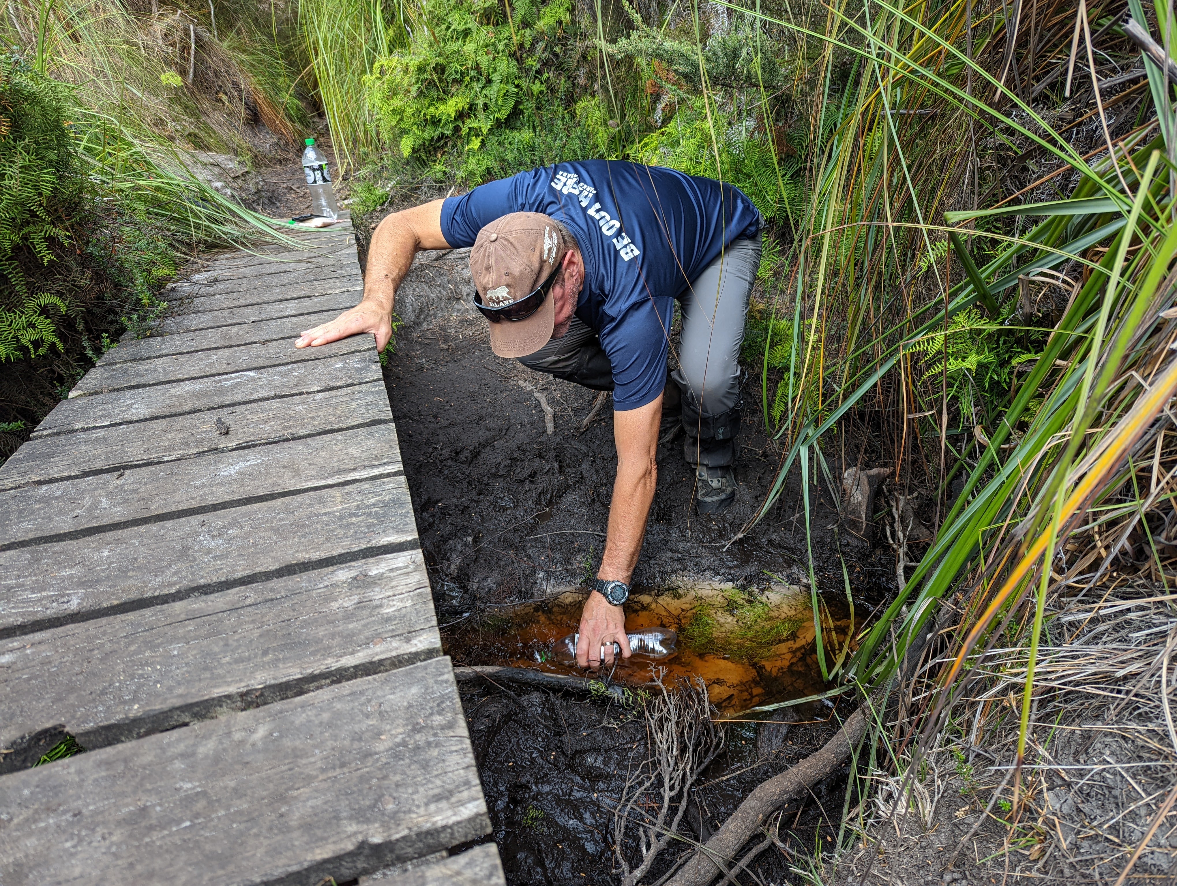
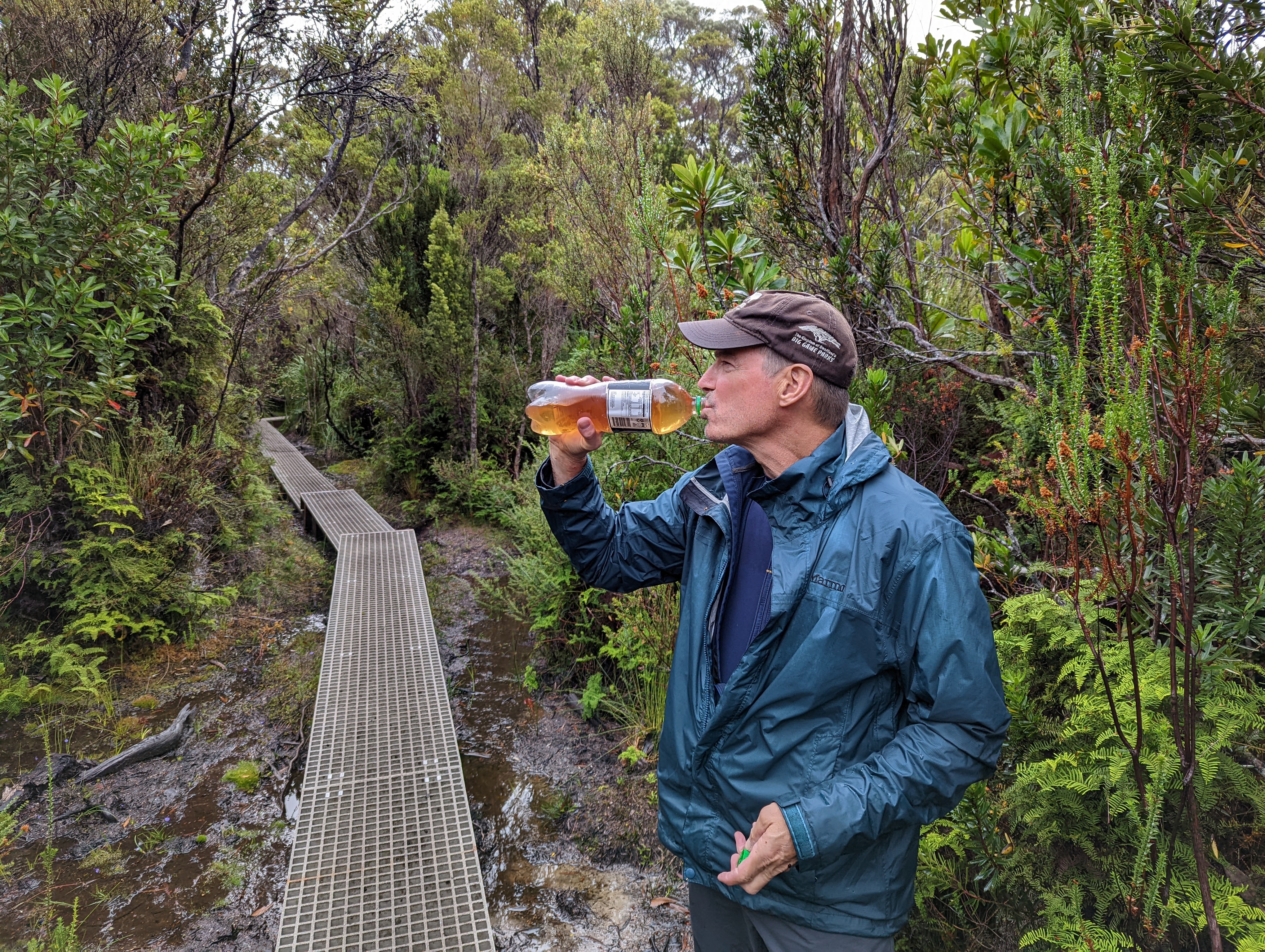
We met a few more people this day as walkers made their way in the opposite direction to us and warned us of the lack of water further ahead. After walking along Surprise Bay and over another forested headland we stopped to fill up our water bottles at a small creek that ran under our trail. The water along the trail is mostly tainted by the nearby tea trees and looks (and tastes!) a little like cold tea. Never mind, we were in no position to be choosey.
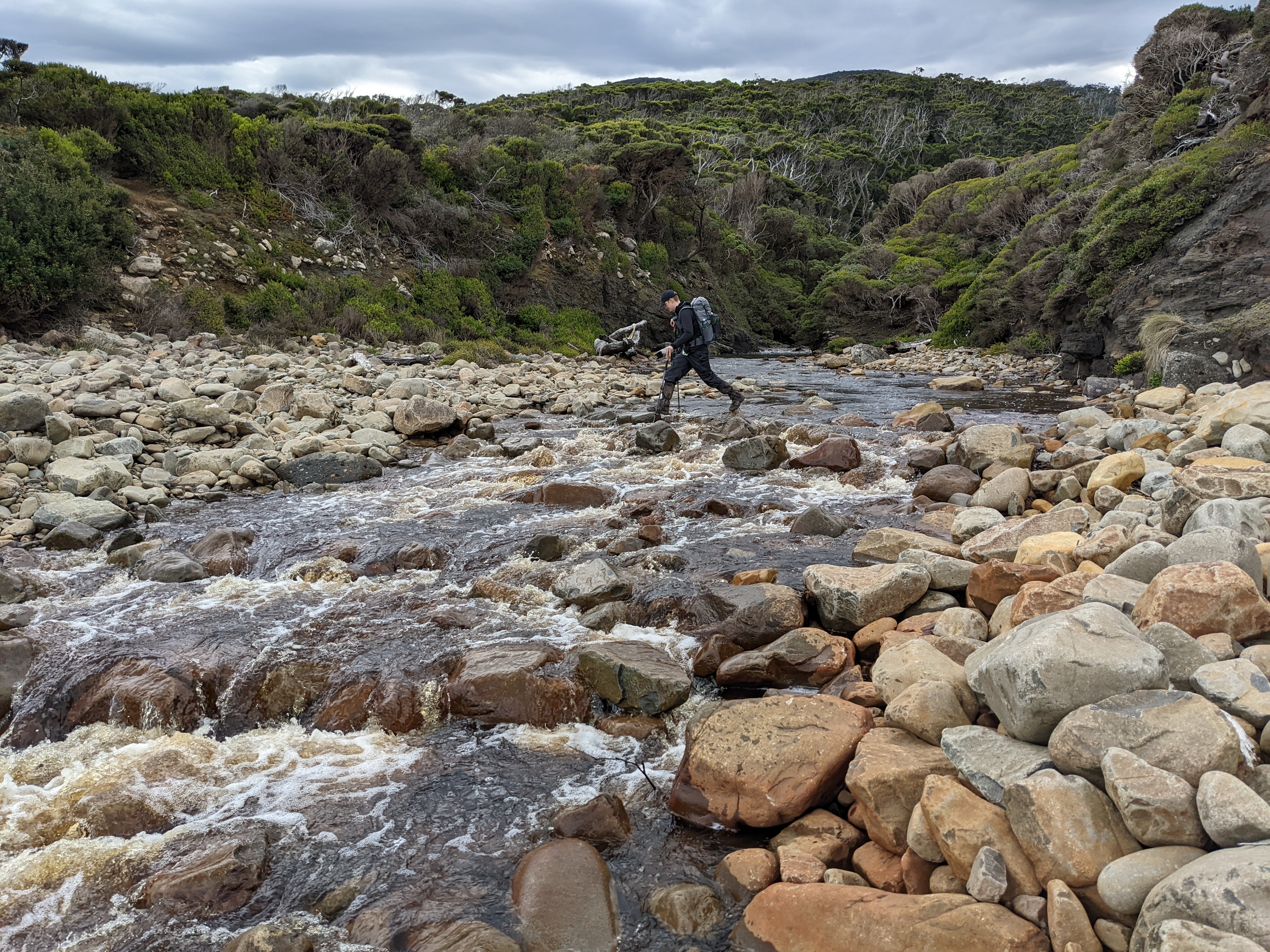
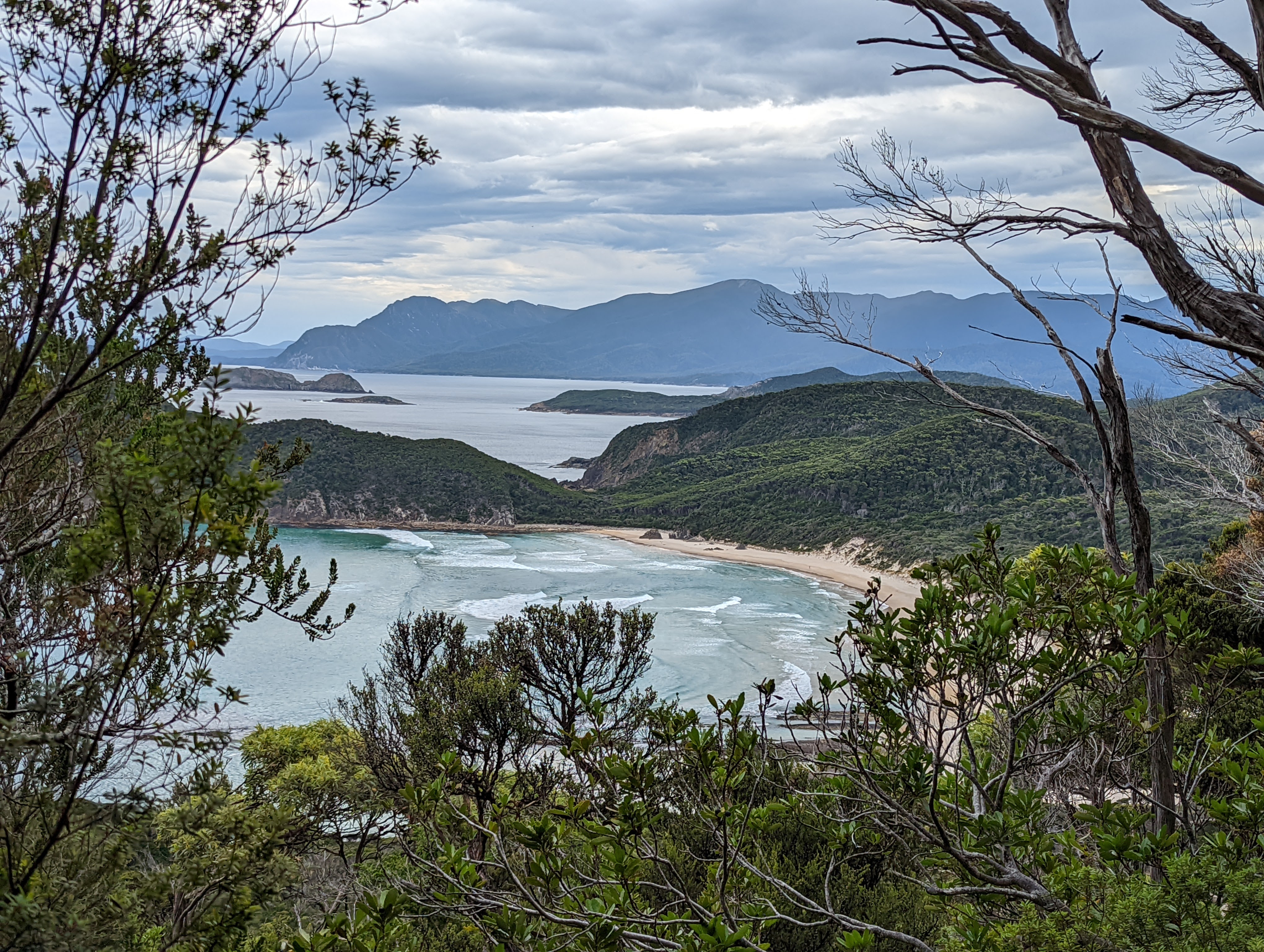
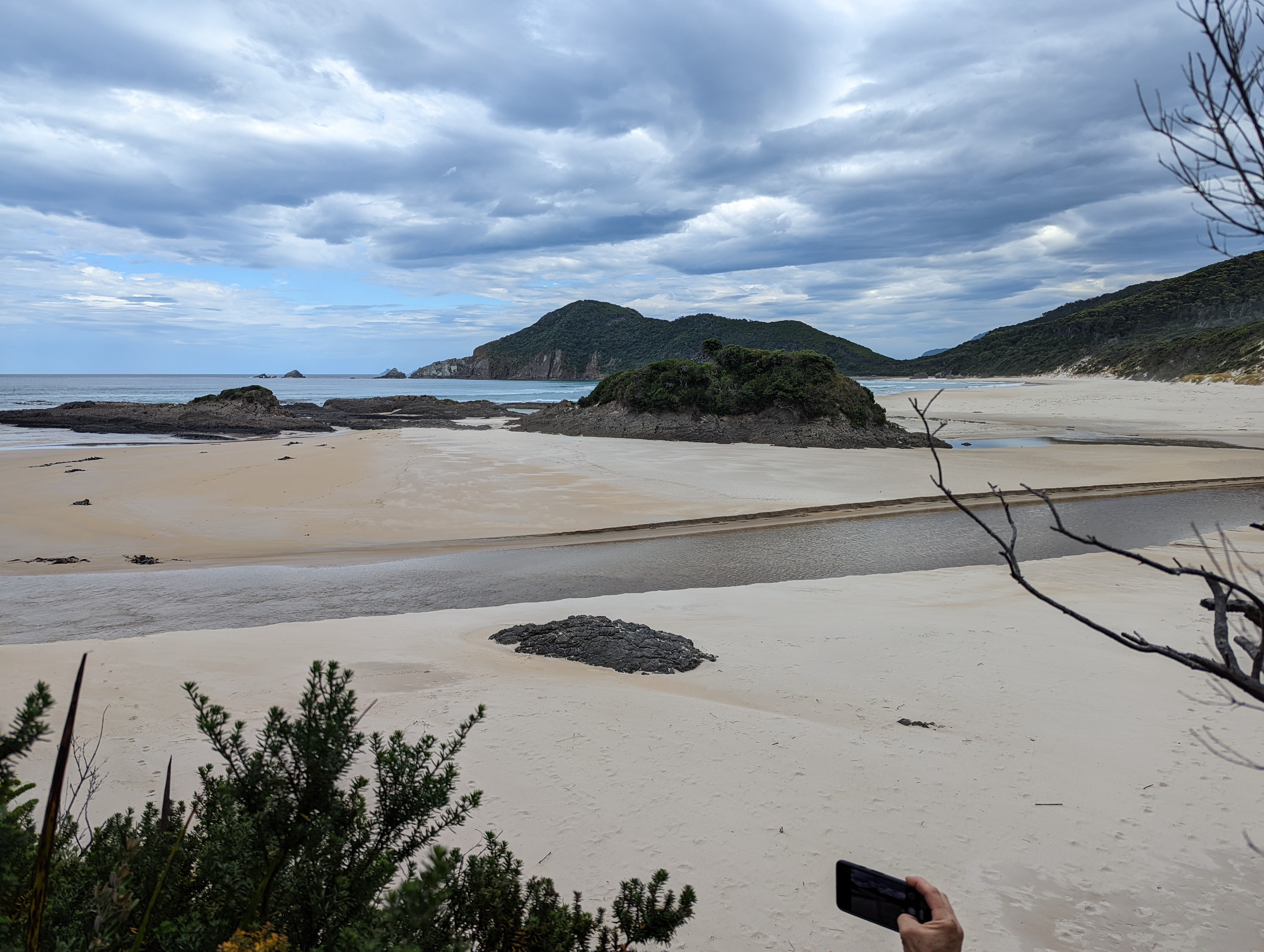
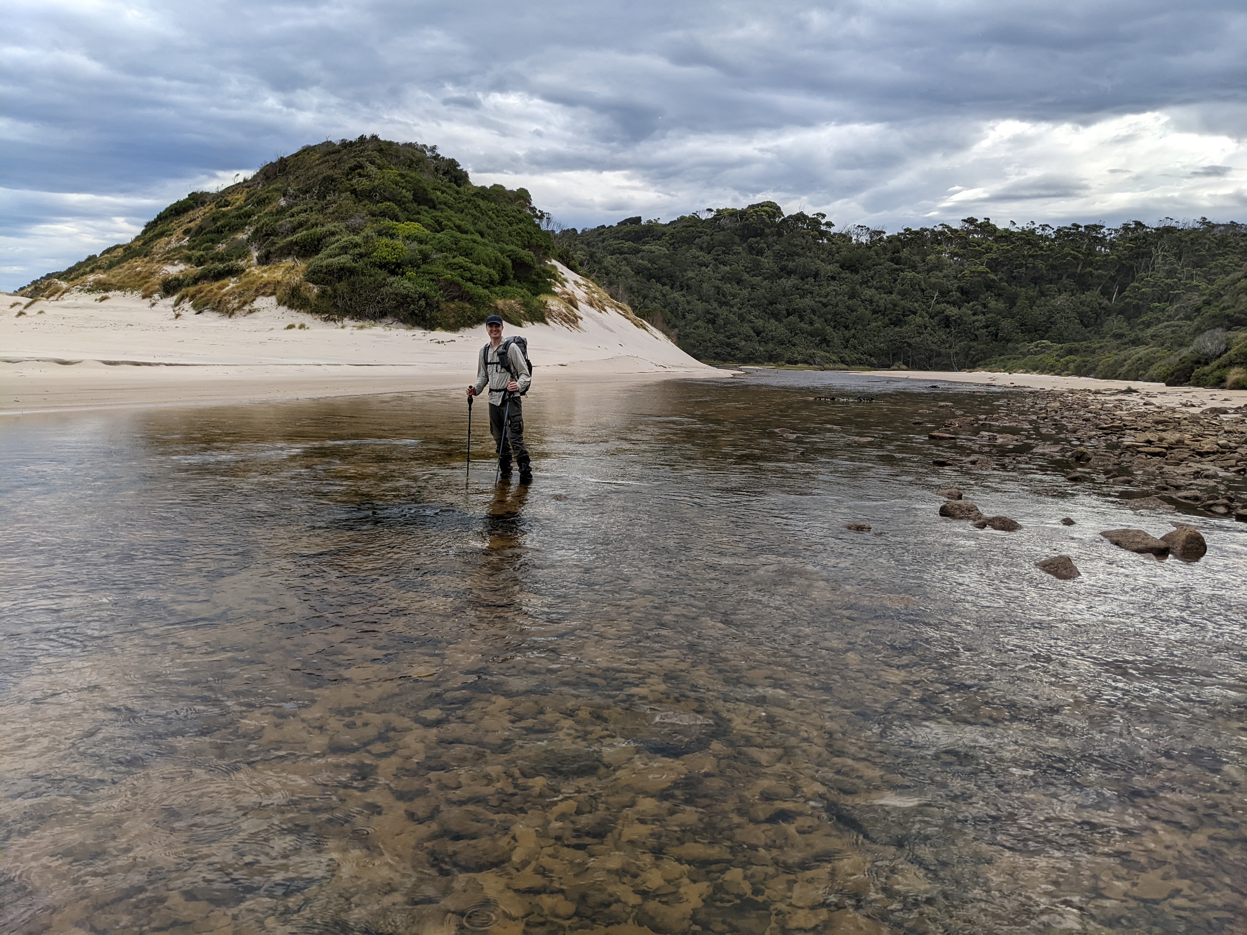
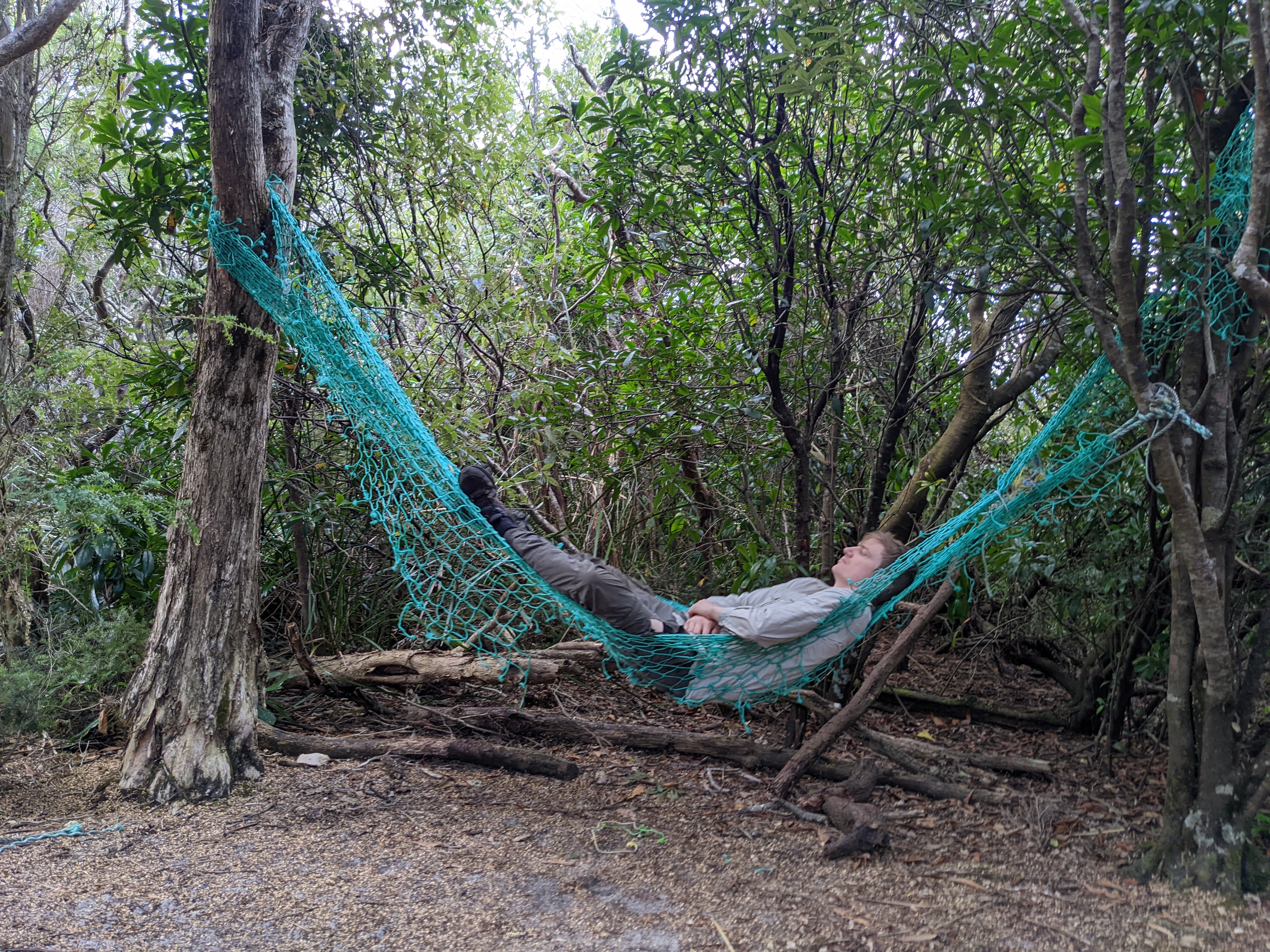
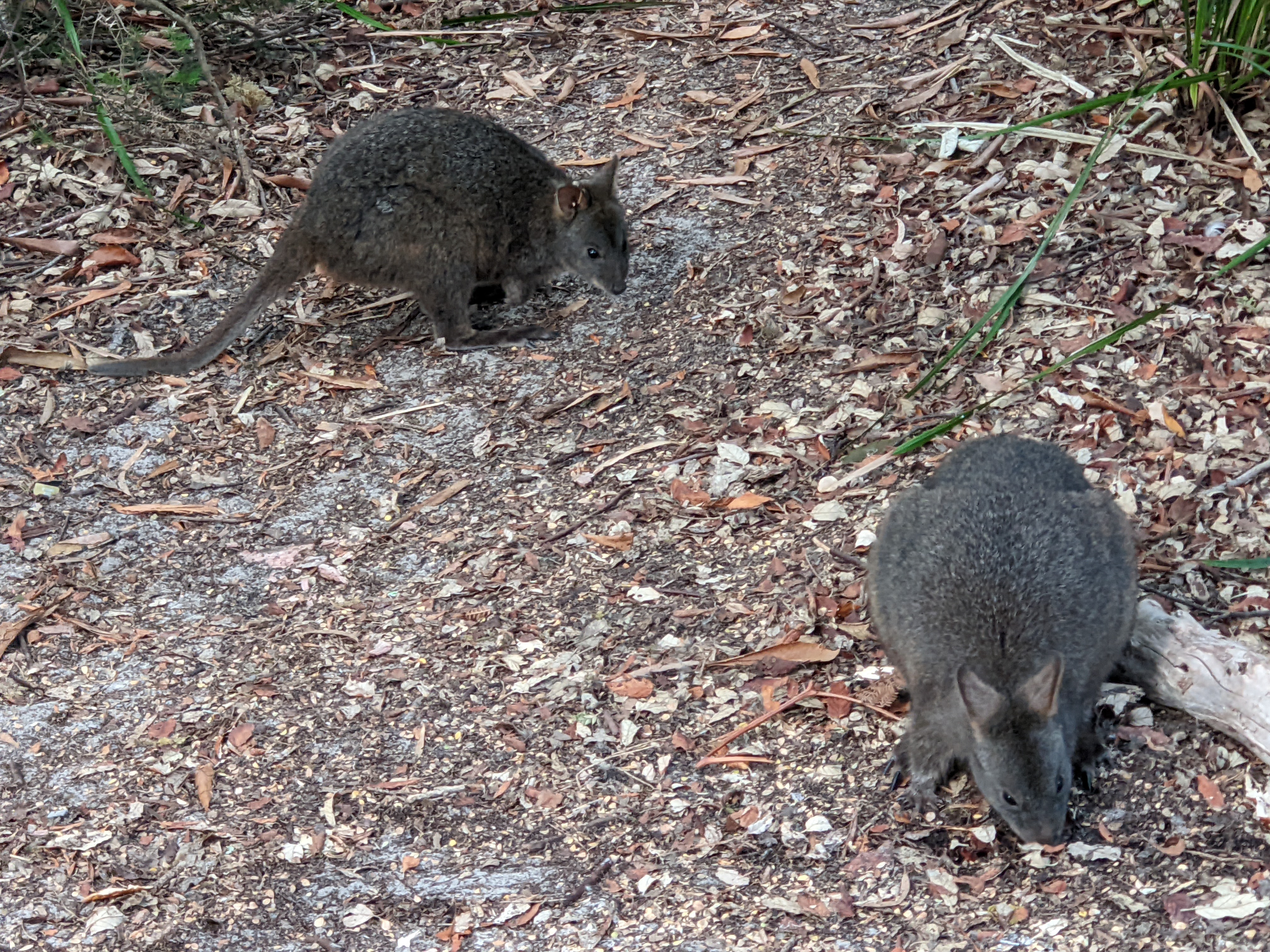
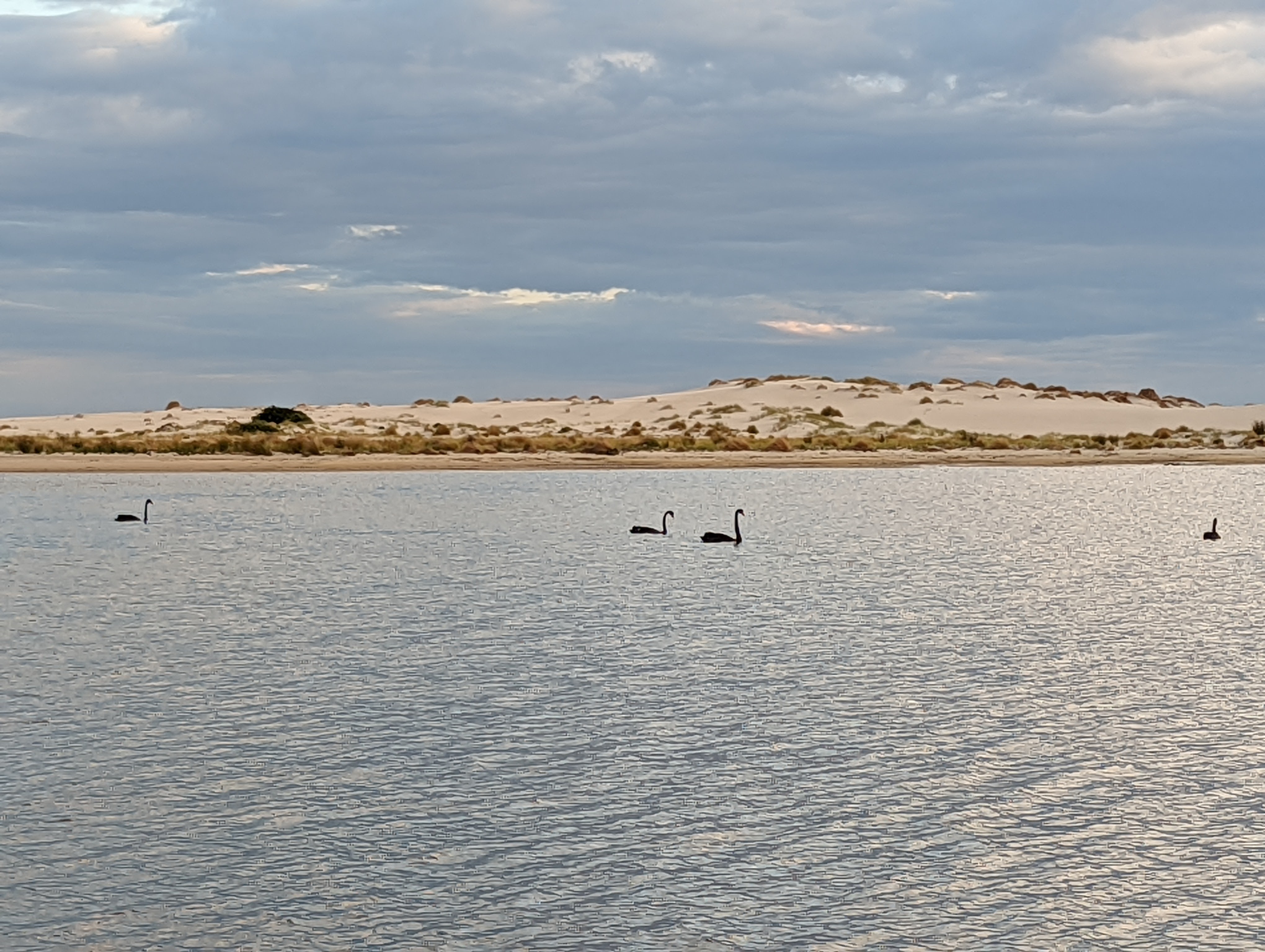
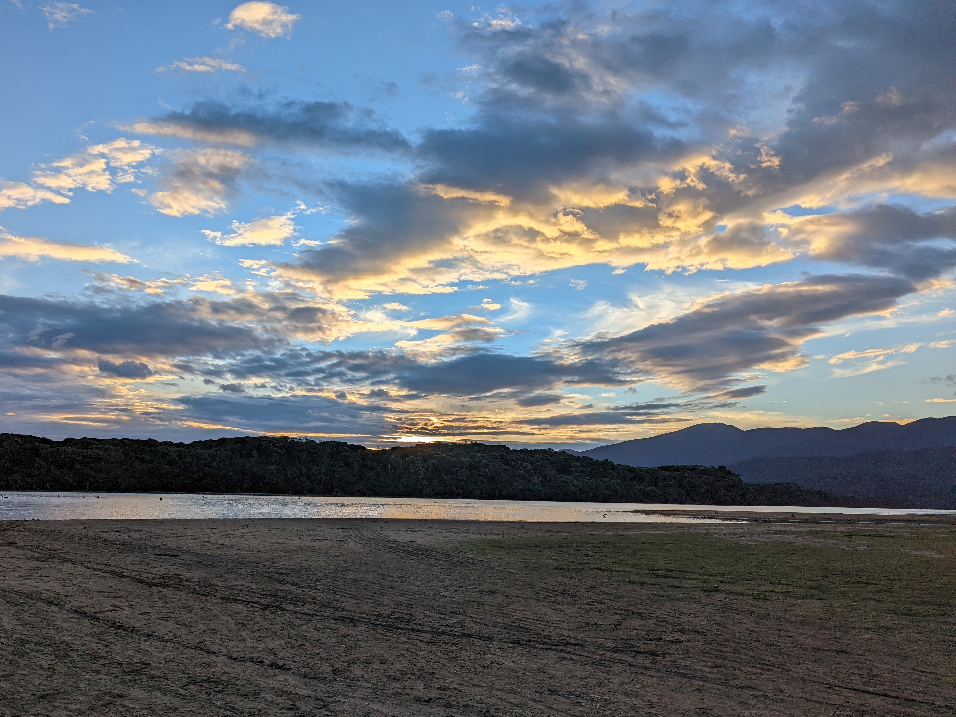
After an seemingly endless series of undulating forested sand dunes which burned our thighs and tested our endurance we arrived at Prior Beach for a beautiful night camping alone on the banks of this brackish river. We were joined by cute little pademelons who had seen many smelly campers before and took no notice of us. Will and I enjoyed our last food of the day sitting out on the sand watching the sun set over the mountains which we would have to climb in a couple of days.
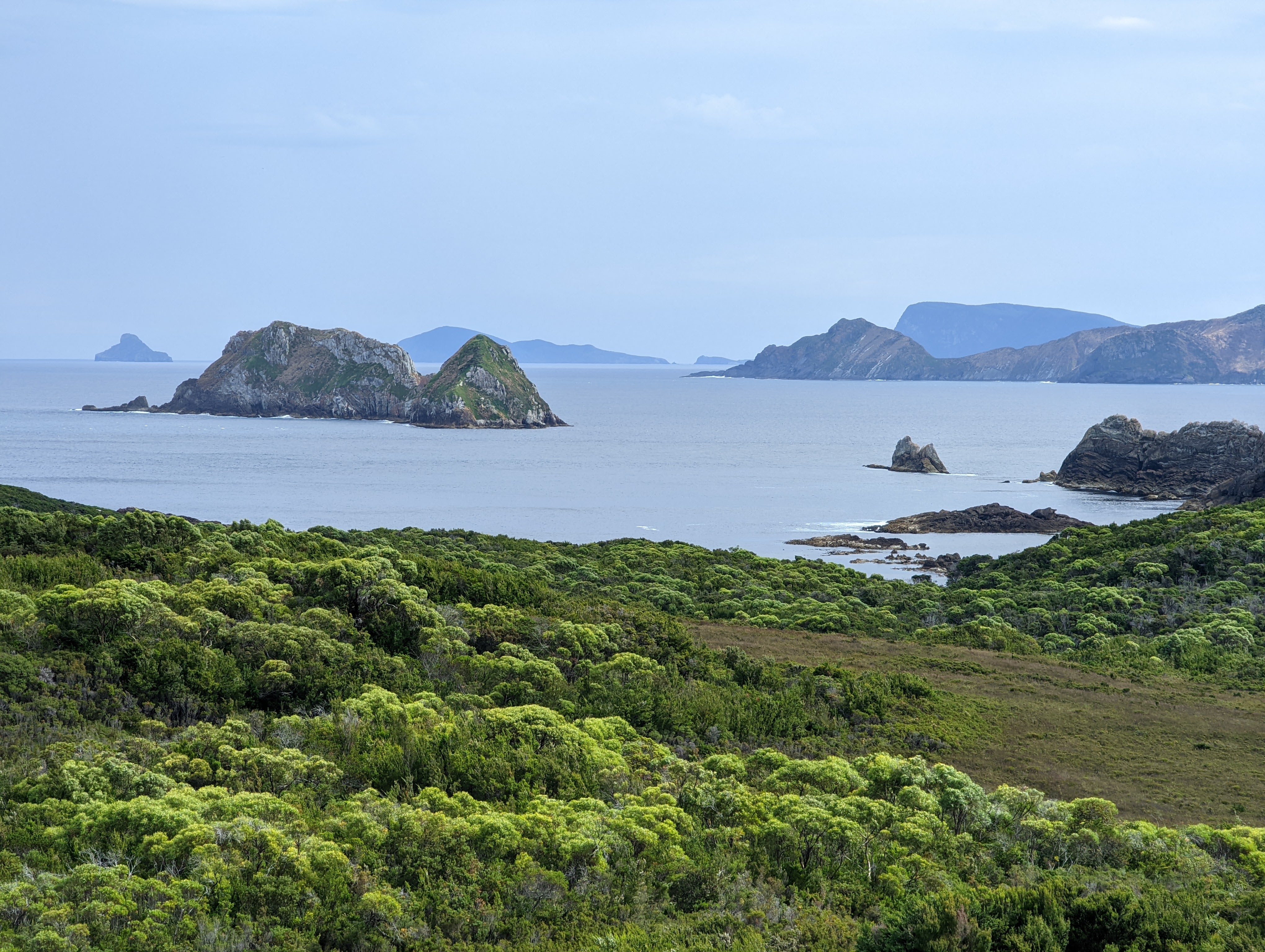
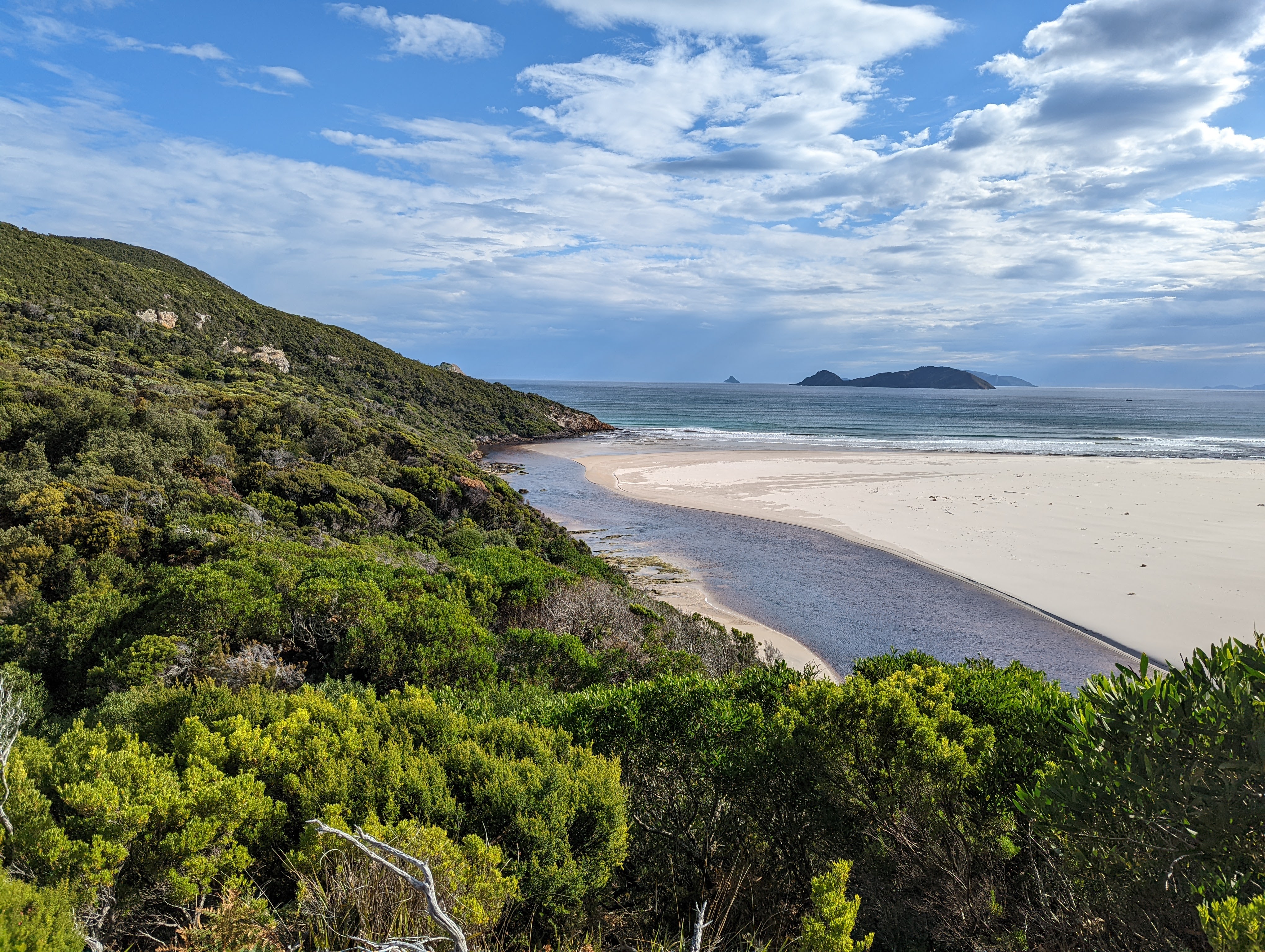
We were roughly half way through our walk of the South Coast Track and had already been both tested and rewarded in this magnificent wilderness. But the biggest test was yet to come and as we sat on the beach that evening we could hardly wait for it all to begin.
Comments
The South Coast Track — No Comments
HTML tags allowed in your comment: <a href="" title=""> <abbr title=""> <acronym title=""> <b> <blockquote cite=""> <cite> <code> <del datetime=""> <em> <i> <q cite=""> <s> <strike> <strong>