Exploring the southern ranges
Okay, the south coast beach holiday didn’t start out ideally as bad weather forced us inland to drier locales. But that’s okay because there’s a few gems we wanted to explore or revisit after long absences, including Deua National Park. Deua is the sight of many family camping adventures with its wild and steep four wheel drive tracks, the beautiful Bendethera Valley and the extensive limestone caves which anyone hearty enough and with a good torch can explore. So off we headed for Deua for our first revisit in 20 years.
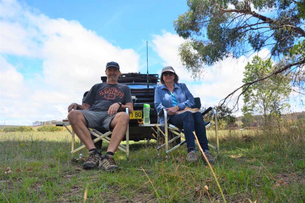
We had planned to camp down in Bendethera Valley, one of our favourite family camping places of all time, but before we got there we pulled into Berlang, which is north of the valley in another section of the park and enjoyed a fabulous 13 kilometre (8 mile) walk to The Big Hole and Marble Arch.
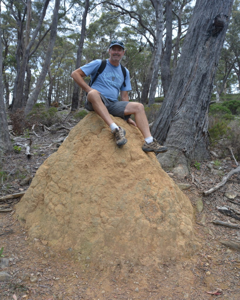
The Big Hole is a huge sink hole, formed from limestone caves collapsing in on themselves millions of years ago. Today it is about 110 metres deep (360 feet) and totally lives up to its name – surprisingly, impressively BIG.
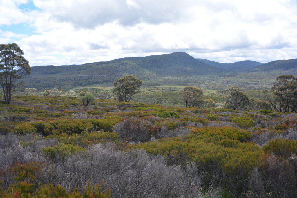
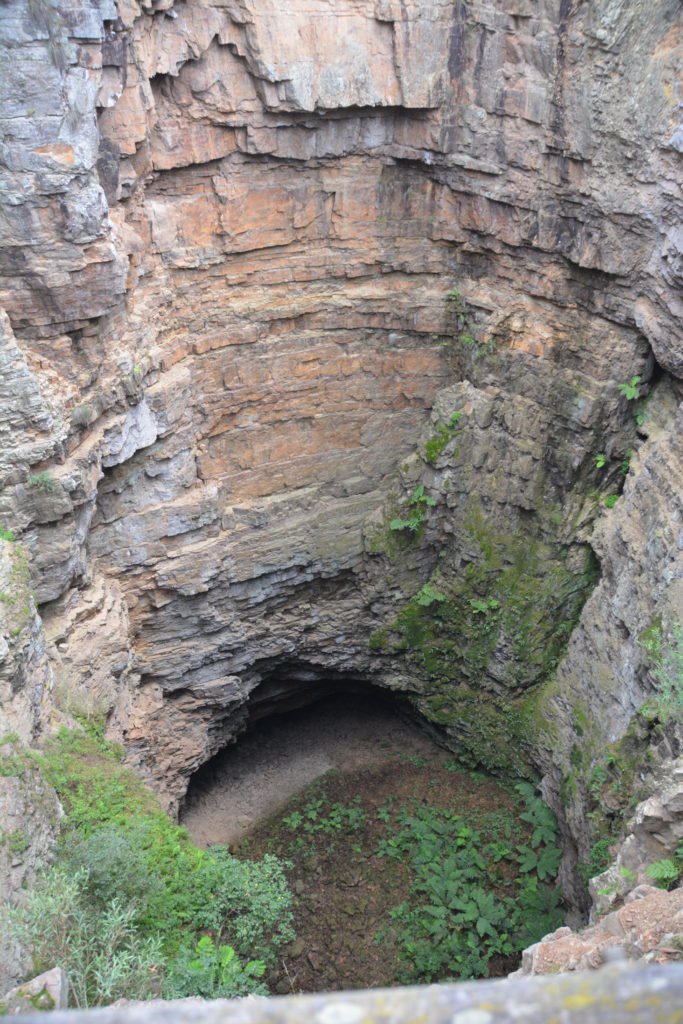
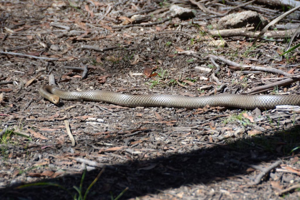
We then followed the trail through the beautiful gums to Marble Arch, a deep and narrow limestone canyon sometimes only an arm stretch wide, carved by eons of water rushing through the crack, in some parts now over 50 metres deep. We walked through the slot as far as we could safely go, quite an amazing place. On the long walk back to camp we came across a huge brown snake, very poisonous, sunning itself on our track. Suffice to say we let him move on before continuing. We decided to camp exactly where we parked Wanda that afternoon, too buggered to move any further.
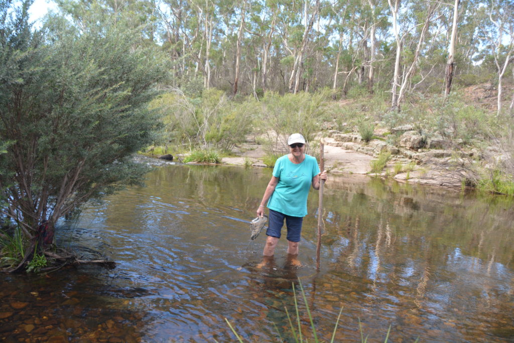


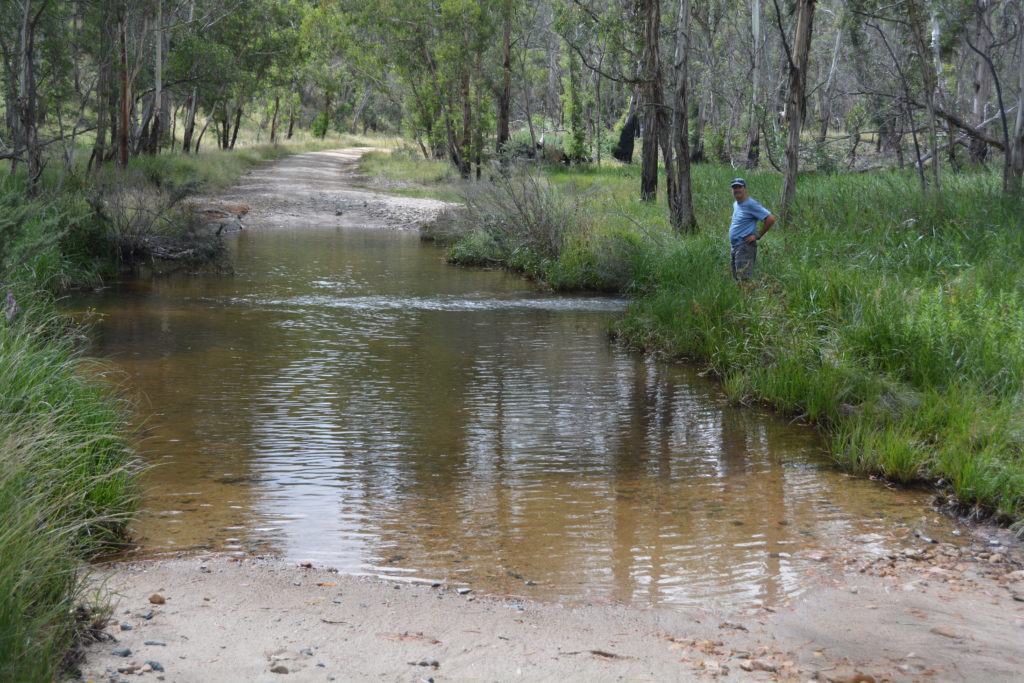
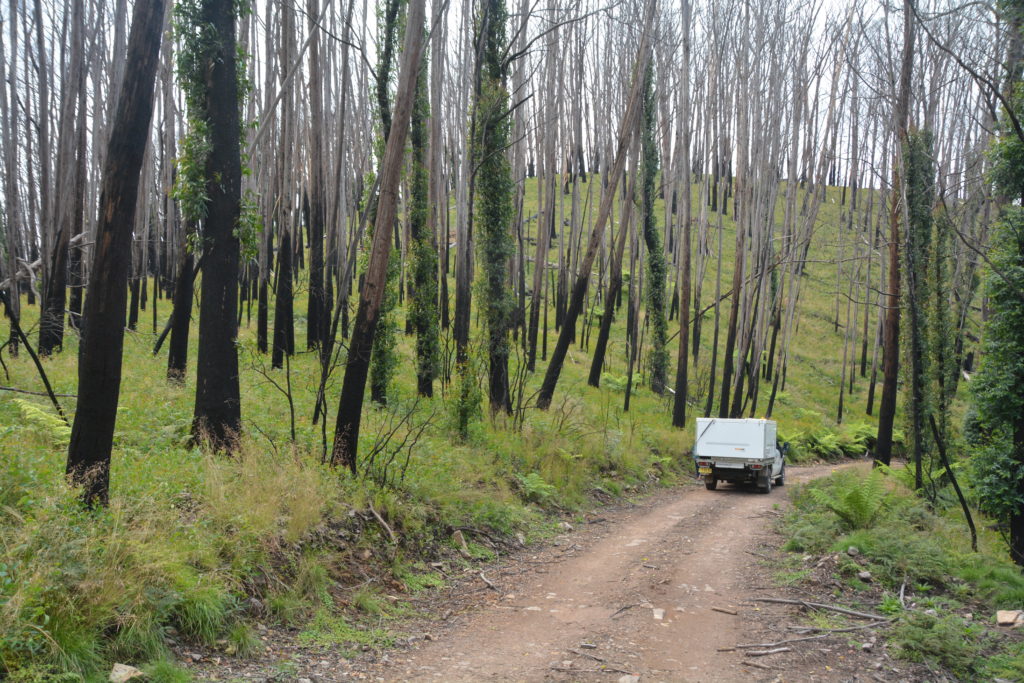
But Bendethera Valley was still our main target so the next day we headed a little south before turning on a fire trail with a sign saying we had 23 km to go. And what an adventure it was, first we crossed the deeper than expected Curranbene Creek before heading up along steep tracks through badly burned-out forest. The narrow road basically followed a series of ridges which provided spectacular views on both sides but also some hairy steep up and down sections, tight switch backs that required three point turns, and first gear in 4 Low (if you know what I mean) to get up and over. Thank goodness for Wanda, she never lets us down.
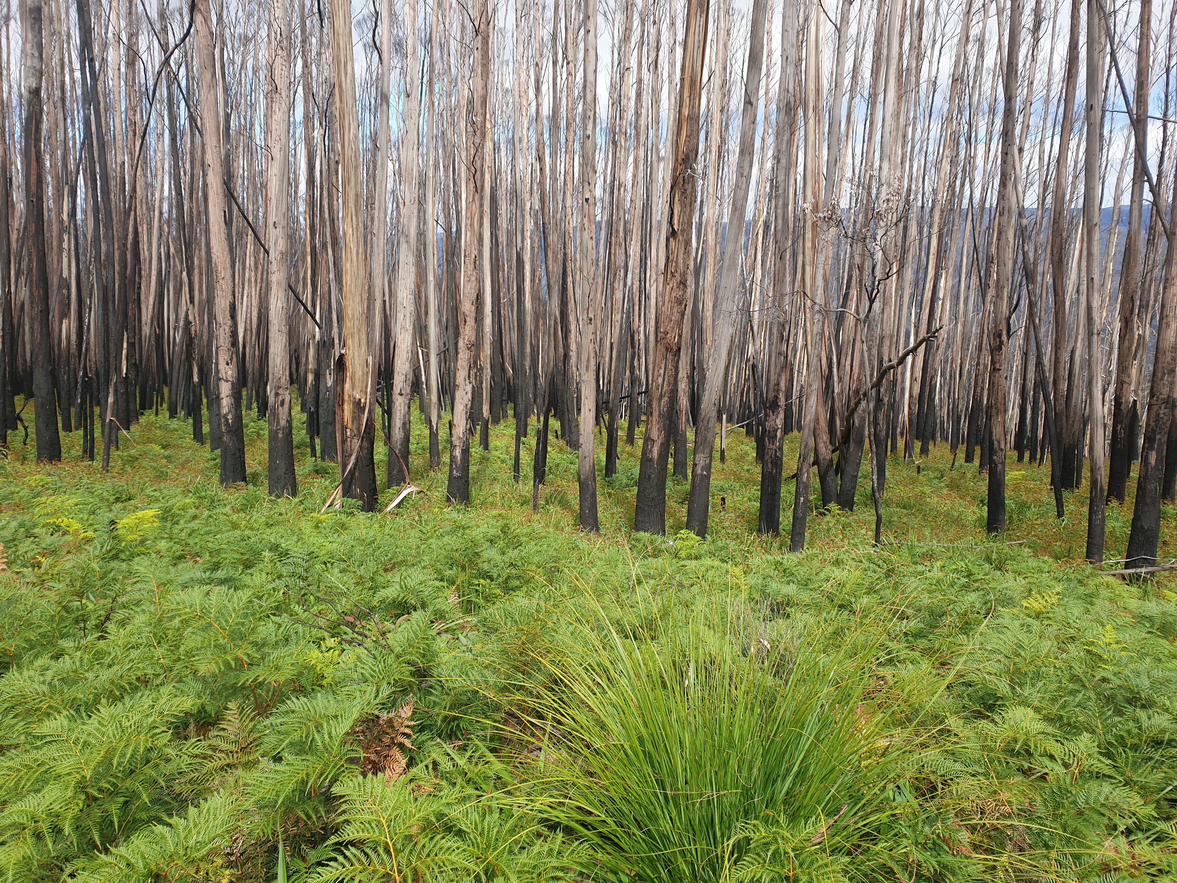
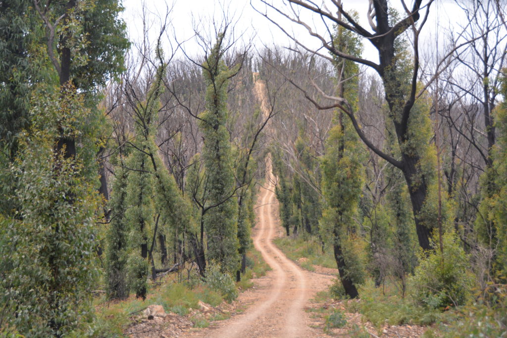
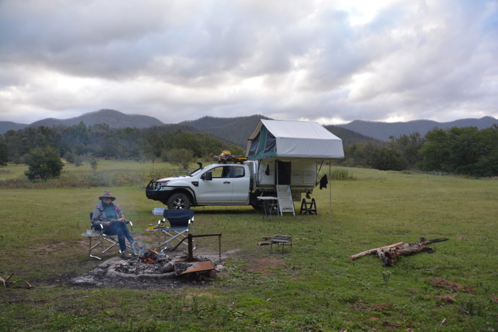
Exhilarated and relieved, we finally made the valley, surrounded by steep mountain walls, just stunning. Unfortunately the 4km walk to the limestone caves and the caves themselves were still closed after damage from the fire so we took another exploratory walk up the Deua River and set up camp near the old historic homestead. What it was like to live here as the George family did, including raising 15 children, back in the 1860’s and 70’s is almost impossible to imagine.
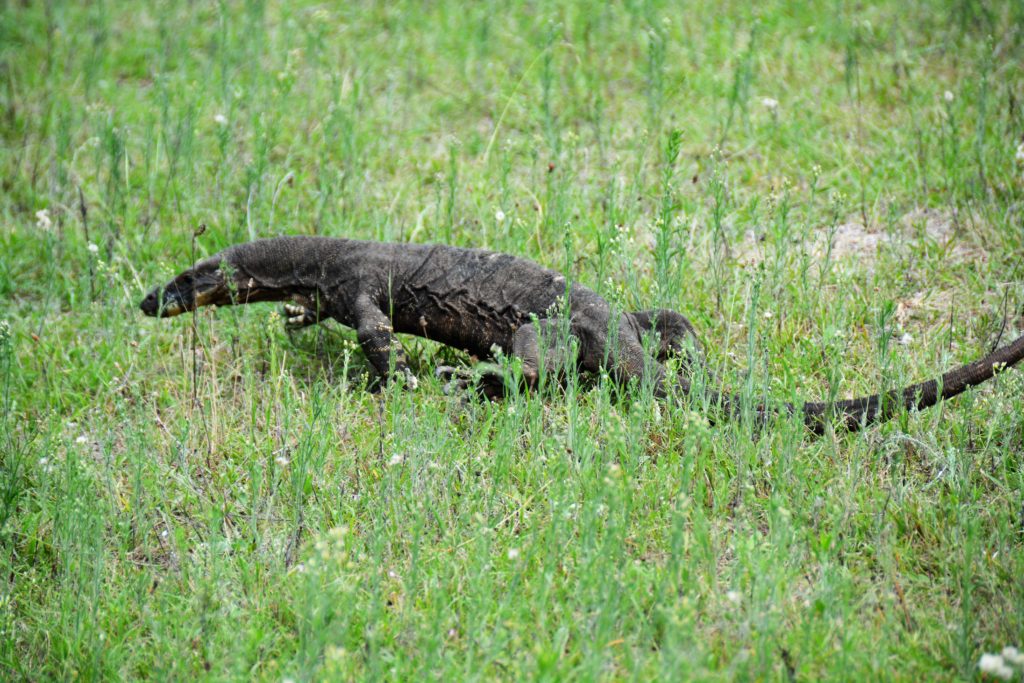
This curious goanna hovered near our camp for most of the afternoon 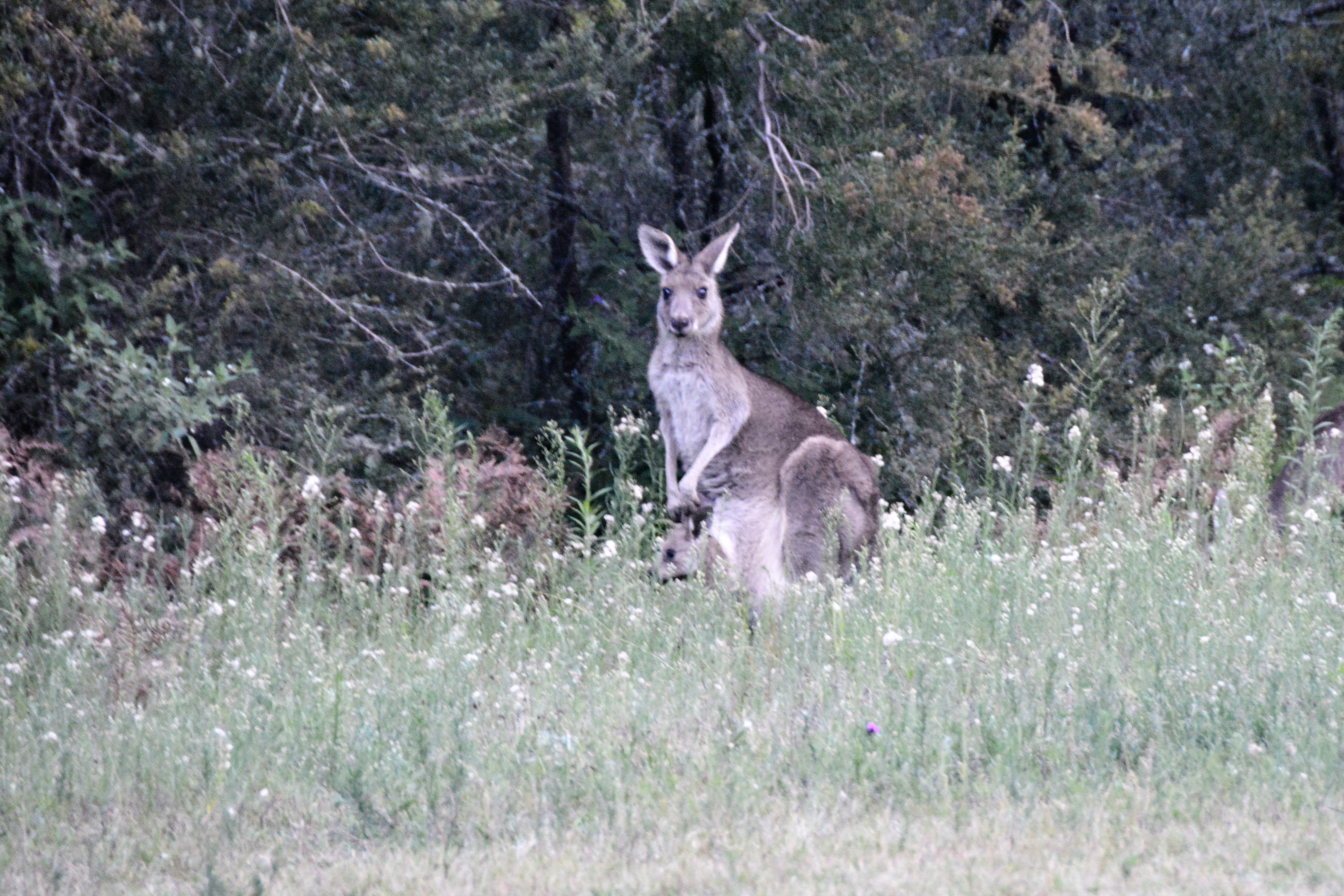
A mob of kangaroos were also nearby – see the little joey sticking his head out of the pouch
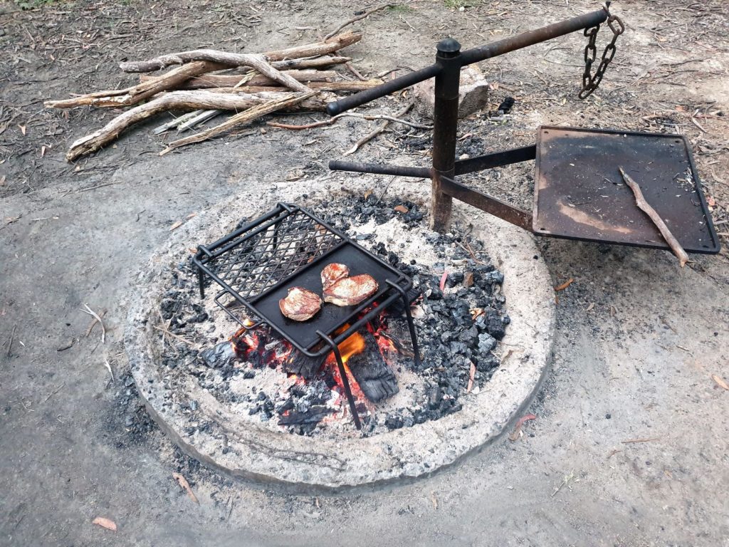
That afternoon we had a fabulous swim in the river and enjoyed our majestic and private valley (we only saw one other vehicle all day!) under blue skies, sharing our paddock with a mob of friendly kangaroos and an inquisitive goanna. A night around the fire doesn’t get any better than this.
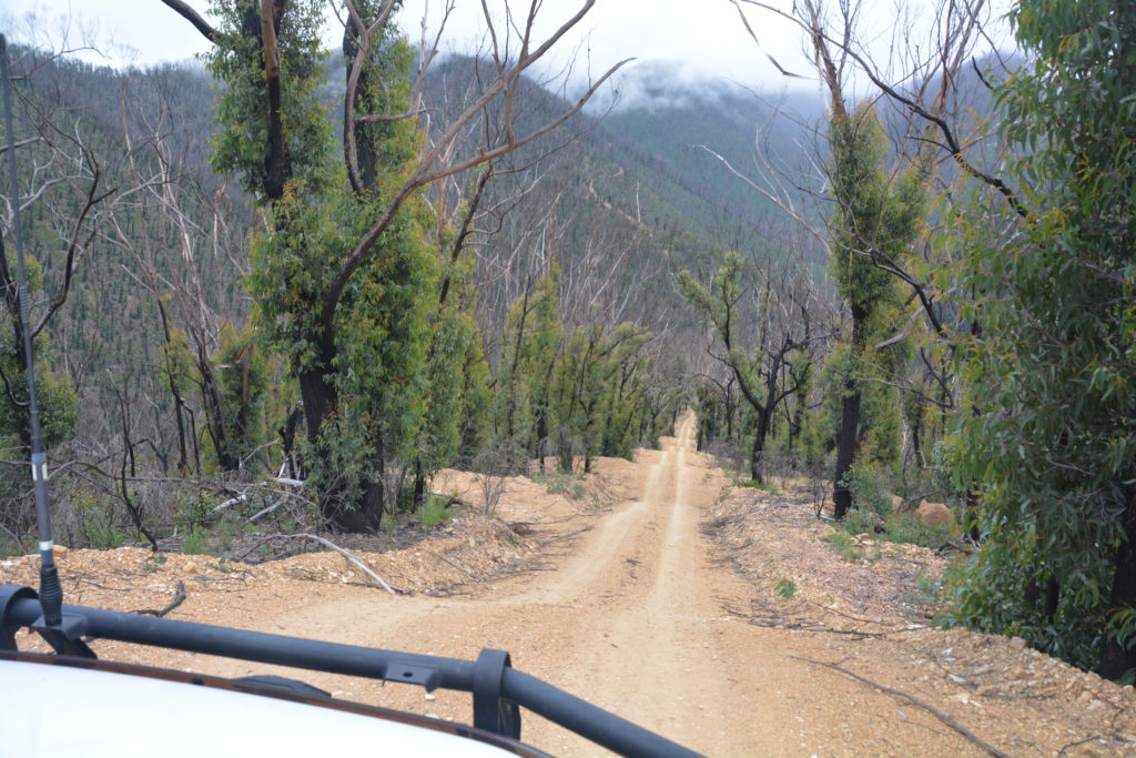
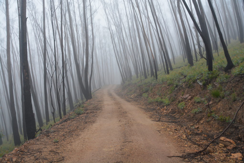
The next day under a misty foggy sky we followed the track back out, up and down the uber-steep track, totally relying on Wanda to get us through. The views from the top of the ridge were almost as heart-stopping as the track to get us there but eventually we made the main road again and headed south to our next planned port – Wadbilliga National Park. Unfortunately this park, really just an extension of preserved land along the mountain range south of Deua, was still closed due to the bush fire damage so we made our way south to Cooma for showers and supplies before pushing on to Jindabyne.
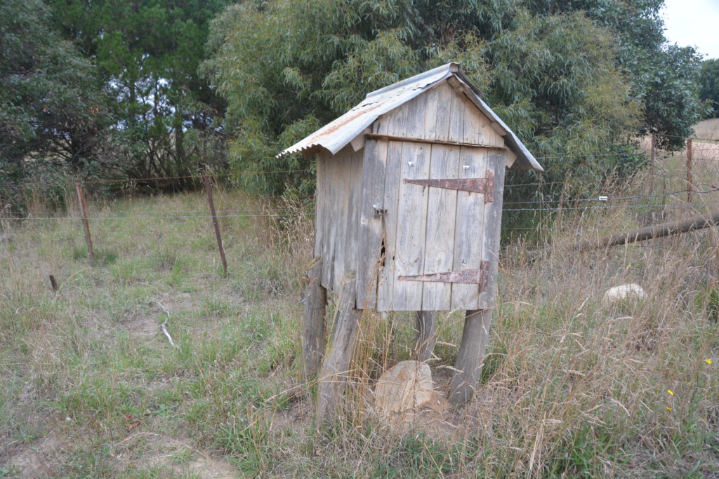
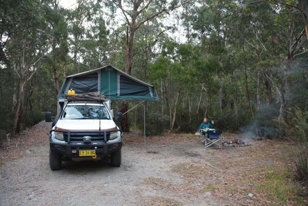
Jindabyne is the unofficial capital of the Snowy Mountains, at least that portion falling on the New South Wales side. Headquarters for all things skiing in winter, by summer it takes on a slightly more relaxed mood as the gateway to the mountains for those who want to explore their summer treats. We camped the night at Island Bend, deep into Kosciuszko National Park on the road to the ski fields of Guthega. There were more people in and around Kosciuszko than we’re used to but so there should be as this area is one of Australia’s premier mountain playgrounds. And we were keen to explore it again.
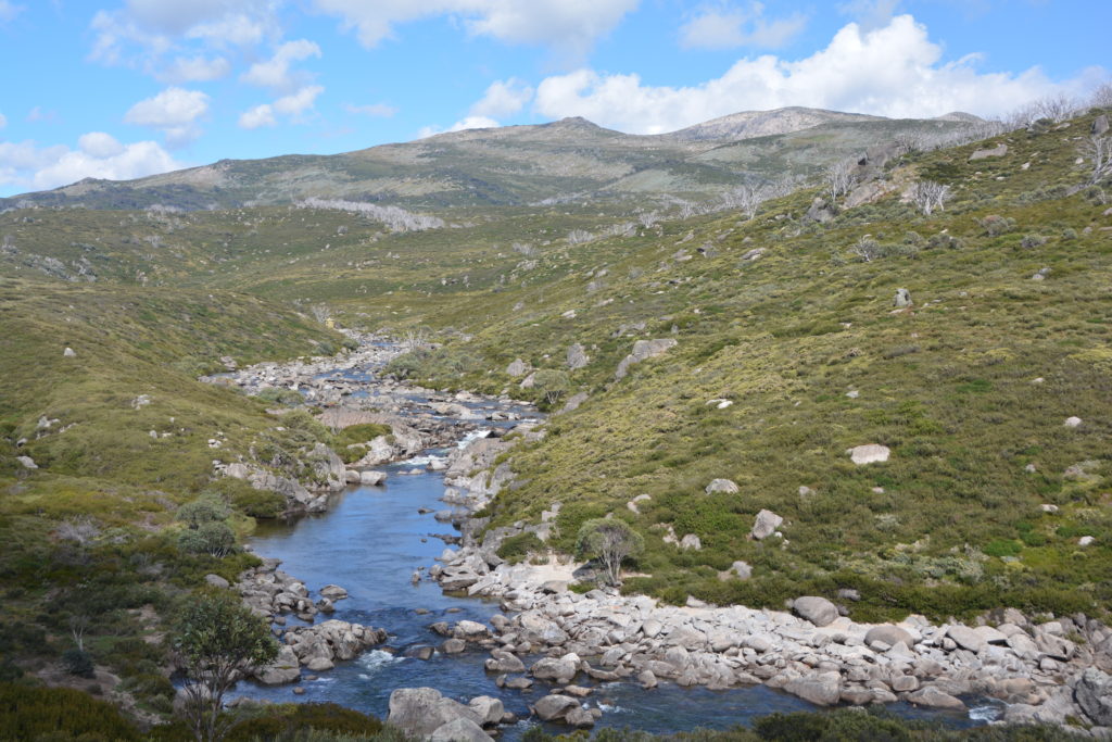
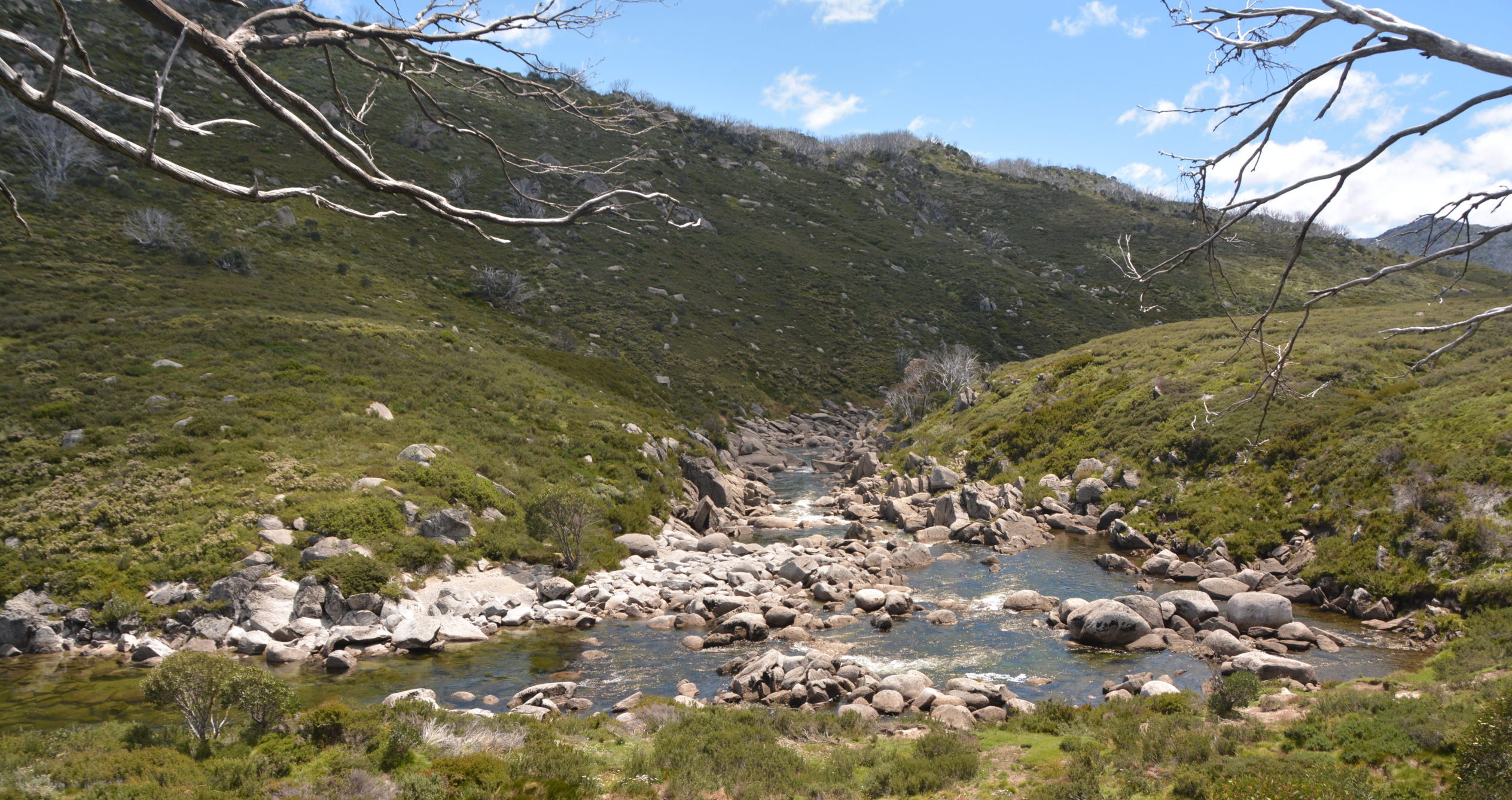
The next morning we headed up to the comatose ski village of Guthega and did a 7.2 km (about 4.3 miles) walk following the Snowy River, made famous by the movie The Man from Snowy River, epitomizing the classic crystal clear water bubbling over ancient granite rocks through untouched high alpine mountains. The Snowy River is the poster child for Australia’s mountain scenes and it was absolutely sparkling as we followed it upstream.
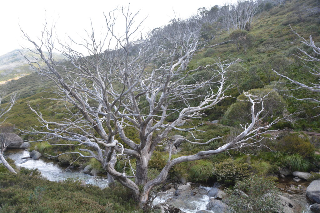
We initially passed through large tracks of snow gums, the only eucalypts hearty enough to survive the deep snow and high winds for this area, but unfortunately most of them had been attacked by a destructive beetle some years ago which left them looking like forlorn ghost of their former selves.
The walk was an absolute gem, first through the trees, then above the tree line across the open heath, past the old Illawong Hut, across a dicey suspension bridge and further upward to a high ridge providing us with 360 degree views of some of the highest mountains in Australia. Sure, these mountains aren’t like the Alps of Europe or the Rockies of North America, far from them. These mountains are much older and have been worn down over the eons to be fairly mellow specimens. But whatever they are, they are Australia’s finest and it was a joy to be walking amongst them again.


That afternoon we made it to Charlotte’s Pass at about 1850 metres (about 5,300 feet) to cast our eyes on the highest range of mountains, including Mt. Kosciuszko, Australia’s highest at 2,228 metres (about 7,300 feet). Such is the gentle slopes of these mountains a road took cars from Charlotte’s Pass to the top of Mt. Kosciuszko until 1976 when they closed it for environmental sensibilities. Now it is a 20 km return walk to the top, a popular achievement for Australia’s alpine visitors.
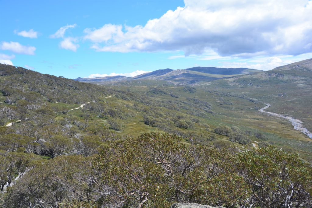
To get to the Murray, which actually forms the NSW-Victorian border for most of its long journey, we enjoyed a beautiful drive through the ski resort town of Thredbo, up and over Dead Horse Gap, and then down the long steep and winding Alpine Way to our pristine campsite, our fire on the edge of the riverbank, just sublime.
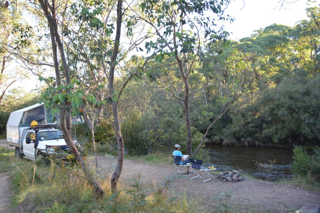
Our plan the next day was to climb one of what is referred to as ‘the seven summits’, that being the highest mountain on each of the world’s seven continents. In other words, we were going to attempt to summit Mt. Kosciuszko. (And how did Australia’s highest mountain get such a Polish-sounding name? Well, in 1840 a renowned Polish explorer named Pawel Strzelecki was the first European to climb and named the mountain after his country’s most famous freedom fighter.)
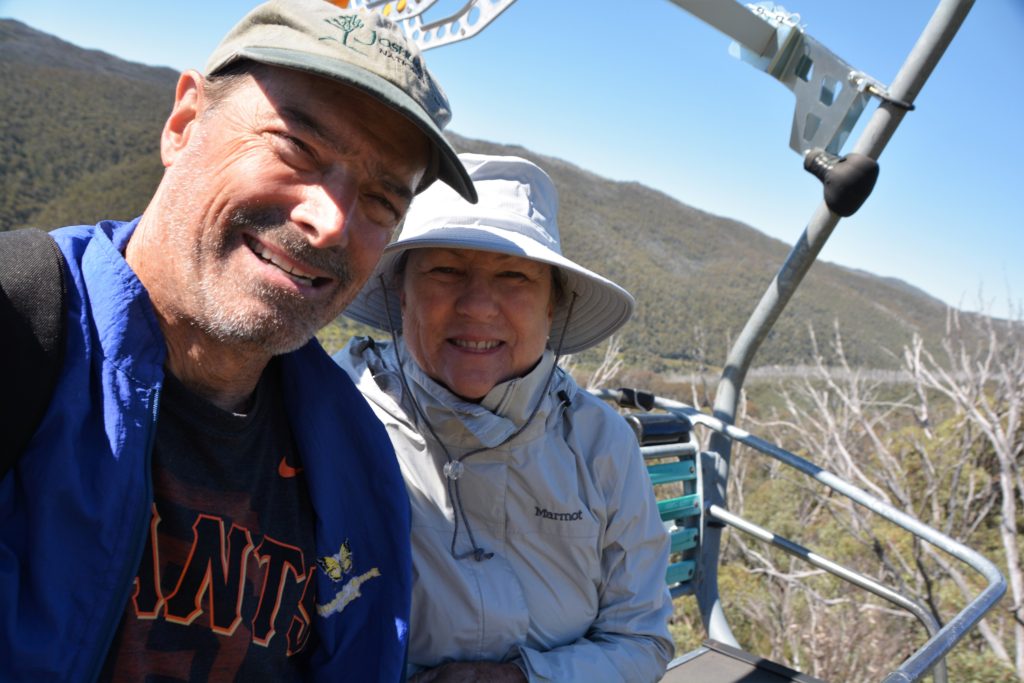
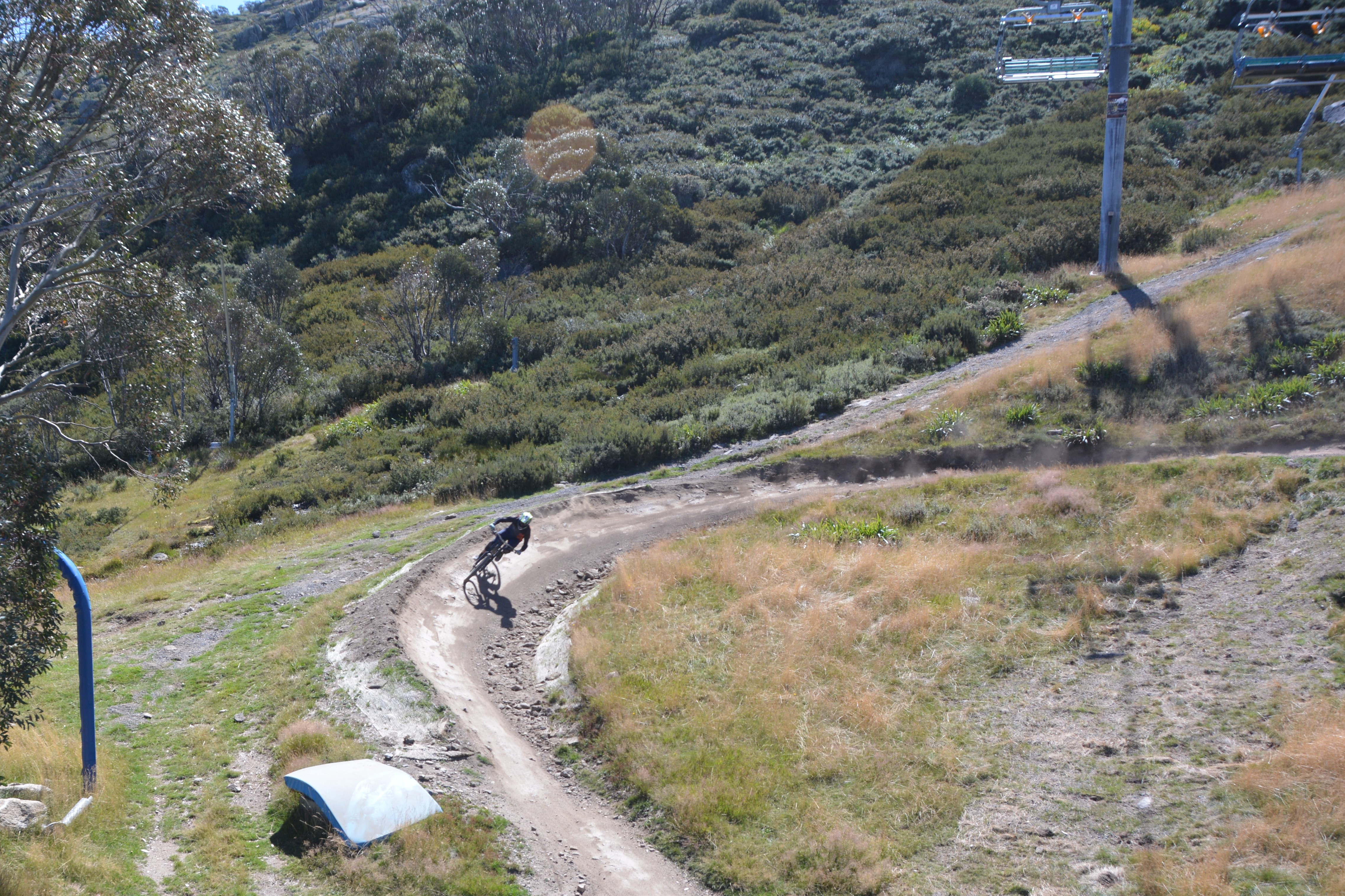
We drove back up the Alpine Way, a wonderful narrow winding road which climbed over 1,000 metres, to Thredbo where we bought crazy-expensive tickets to ride the chairlift to the top of the ski resort at 1,850 metres. As we soared above the grassy ski slopes we watched mountain bikers hoon down the narrow dirt tracks, dressed in pads and huge helmets, going through S bends, up and over jumps, in and out of the trees. It looked like the absolute best fun if you had the strength and experience to do it.
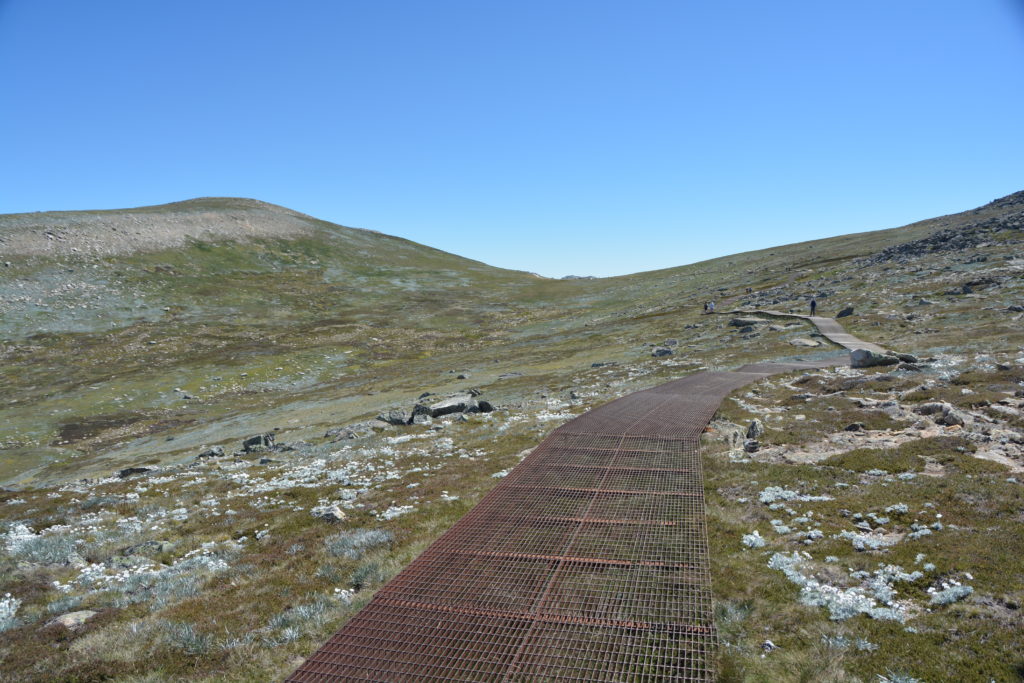
From the top of the lift we followed the wide steel-grated raised platform walk, steadily climbing all the way, through beautiful treeless alpine scenes, past Lake Cootapatamba – a natural glacial lake – to Rawson Pass at 2,120 metres. There was a light stream of people doing the walk with us, people of all ages, shapes and sizes performing an important Australian pilgrimage for those who can muster it.
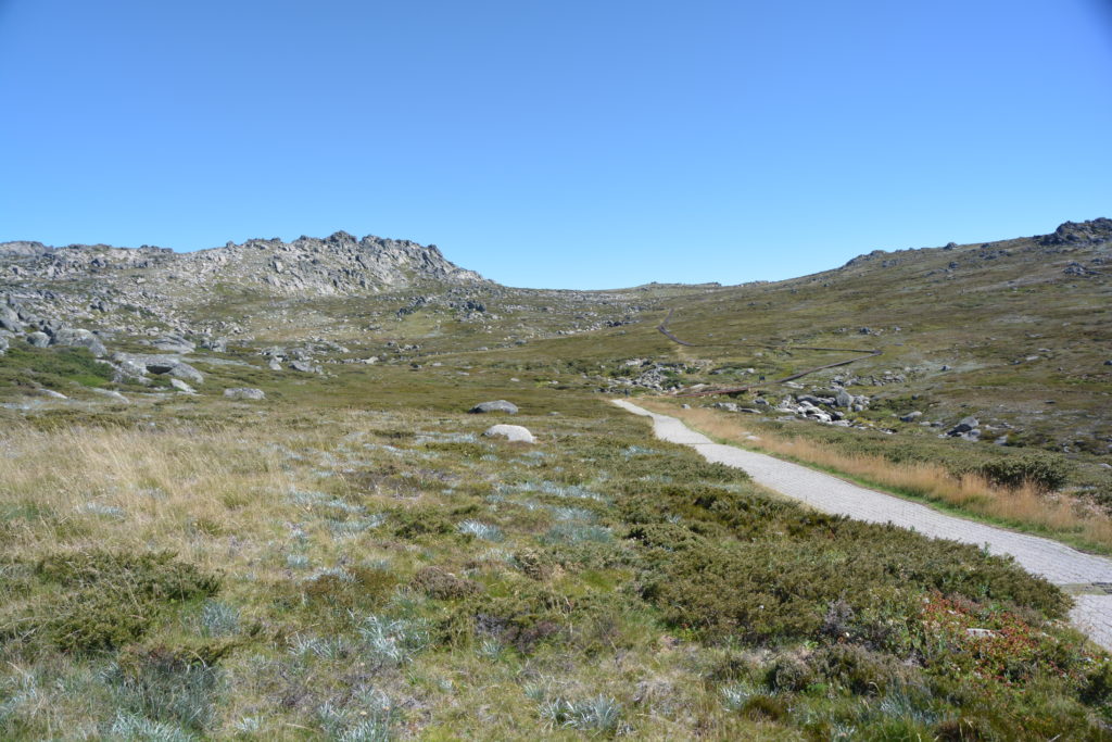
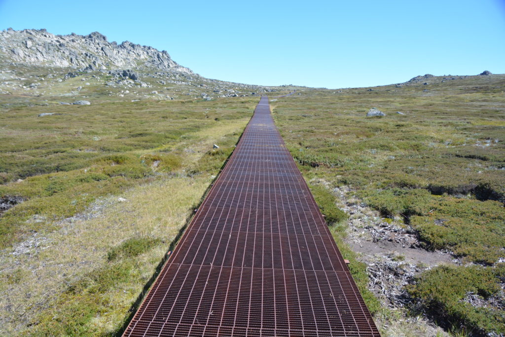
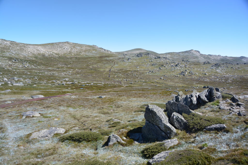
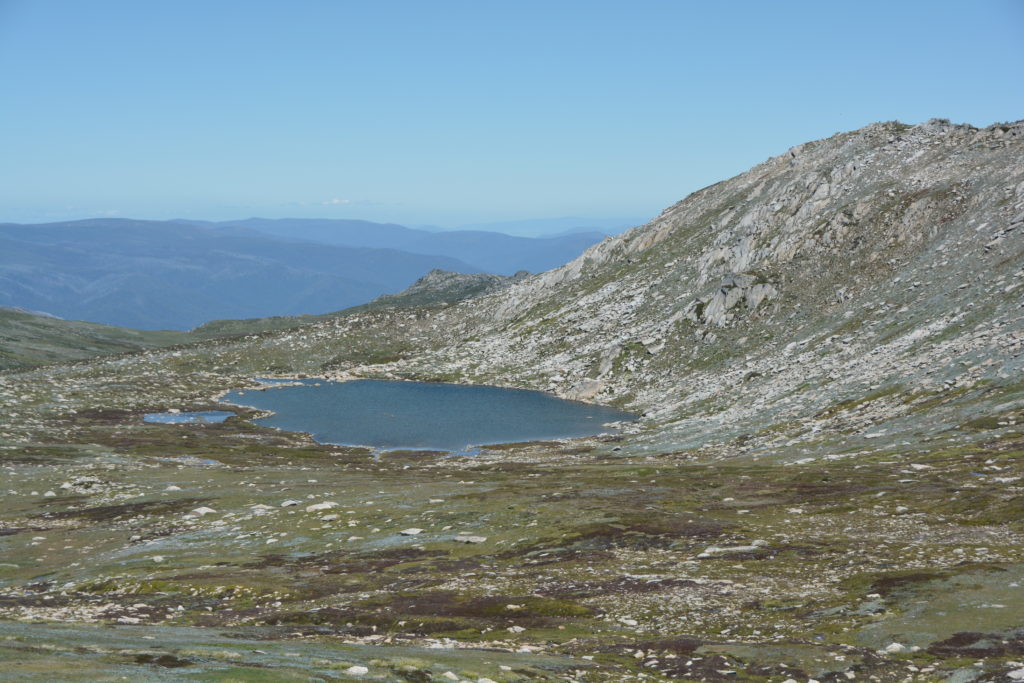
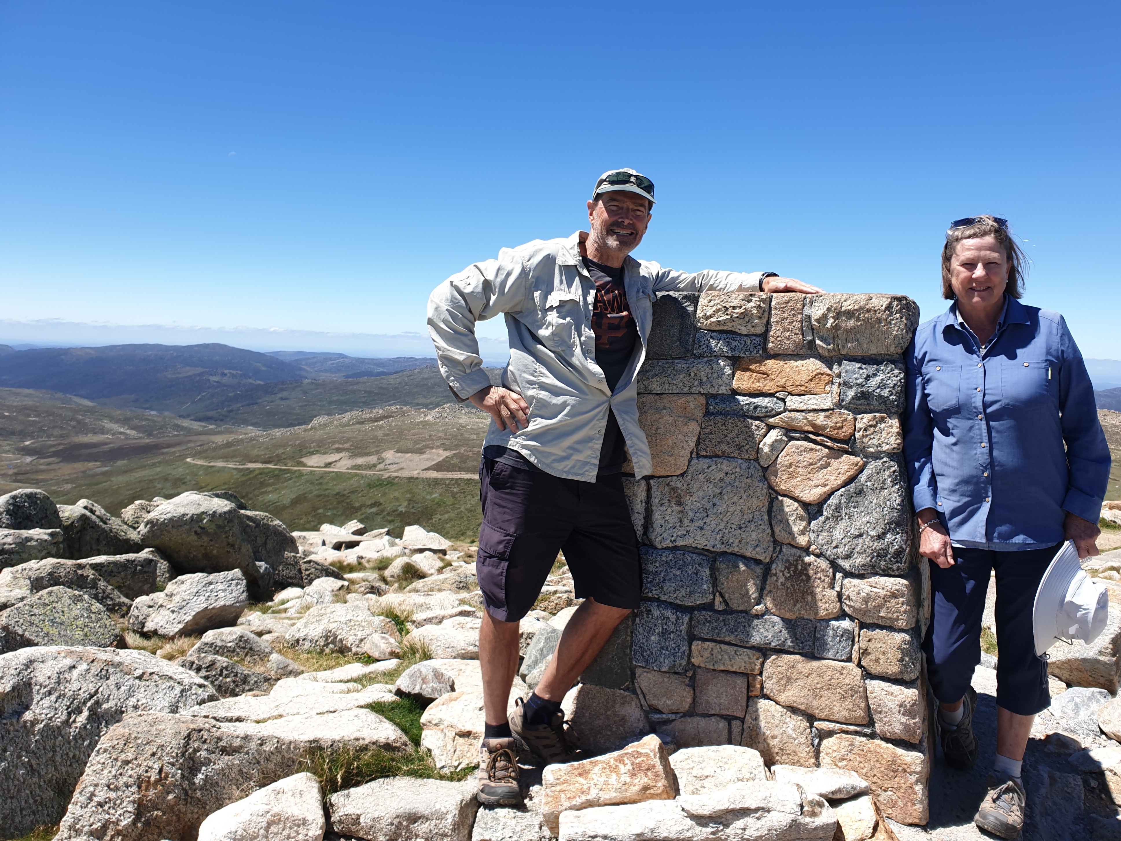
At Rawson Pass, with the rounded summit of Mt. Kosciuszko looming above us, we followed the now gravel track as it wound its way around the top of the mountain like a corkscrew until we finally emerged at the summit at 2,228 metres (7,300 feet), marked by a stone cairn and trig marker.
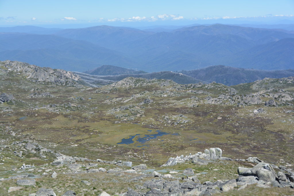
We were greeted by absolutely stunning views in all directions, including the nearby Mt. Townsend which is Australia’s second highest peak, the source of the famous Snowy River just below us, the perfect weather allowing us views well into Victoria to the south. We were also greeted at the top by about 50 other people, all having accomplished the same feat as us, all posing for photos at the cairn, just like us. The endless blue skies and cool breeze were absolutely perfect for the festive atmosphere, including those who cracked well-shaken beers and others posing for countless group photos. We sat on some rocks on the leeward side of the wind and enjoyed our lunch, savouring the moment.
We returned the way we came, taking in the views from the new perspective, stopping for more photos, completing the 13 km (8 mile) walk and catching the chairlift back down to Thredbo and civilisation. From there we drove down to Lake Jindabyne, formed by one of the many dams built for the Snowy Hydro project in the 1940’s and 50’s, and camped on its shaded banks. That night we treated ourselves to a Thai meal at a restaurant which was part of the campground complex, a fitting celebration for our summiting Mt. Kosciuszko.
Comments
Exploring the southern ranges — No Comments
HTML tags allowed in your comment: <a href="" title=""> <abbr title=""> <acronym title=""> <b> <blockquote cite=""> <cite> <code> <del datetime=""> <em> <i> <q cite=""> <s> <strike> <strong>