All the rivers run
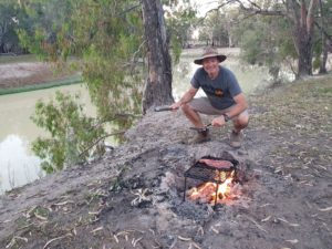
Cooking up a couple of steaks for dinner on the banks of the Darling River – maybe a bit too close to the steep edge
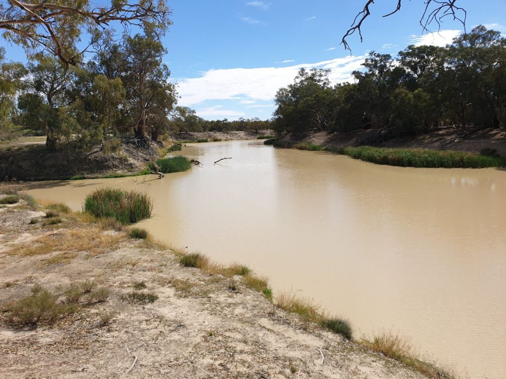
What is it about muddy slow-moving rivers? Six months ago Julie and I only knew the basics about the amazing river system of western NSW but since that time we’ve been exploring rivers such as the Barwon, Lachlan, Wabego, Culgoa, Mcintyre, Severn and of course the mighty Darling (which, by the way, all those other rivers eventually flow into). And we’ve been completely taken by the geology, history, economics and even the romance of these vital arteries to the state’s past and present economy. And here we were again, camped high on the banks of the Darling River with more rivers to explore in the week to come.
These darn rivers are like magnets to us – and a good magnet at that. After camping a night on the shores of Lake Pamamaroo, one of the vital lakes in the Menindi lakes system near Broken Hill, we headed south along a dirt road to the small community of Pooncarie. Back in the late 1800’s Pooncarie had an important and vibrant wharf on the Darling River where packs of wool from the local sheep stations would be loaded on the paddle steamers to be taken downstream to civilization.
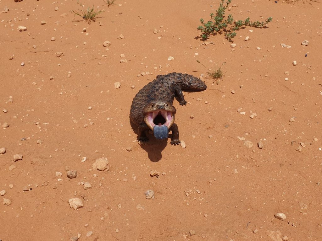
This shingleback, a chunky and stubby lizard with serious attitude, asked me politely to not get too close
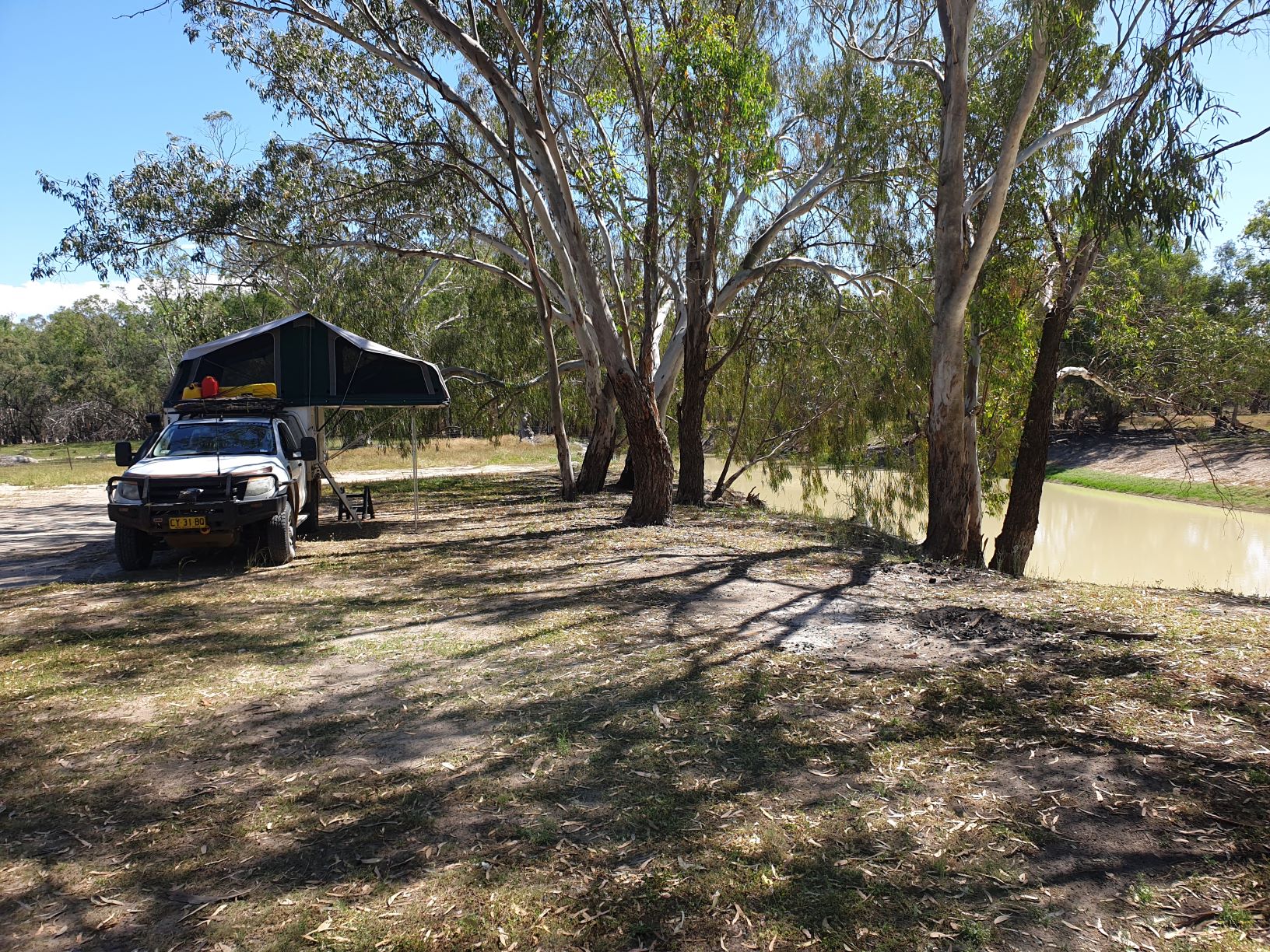
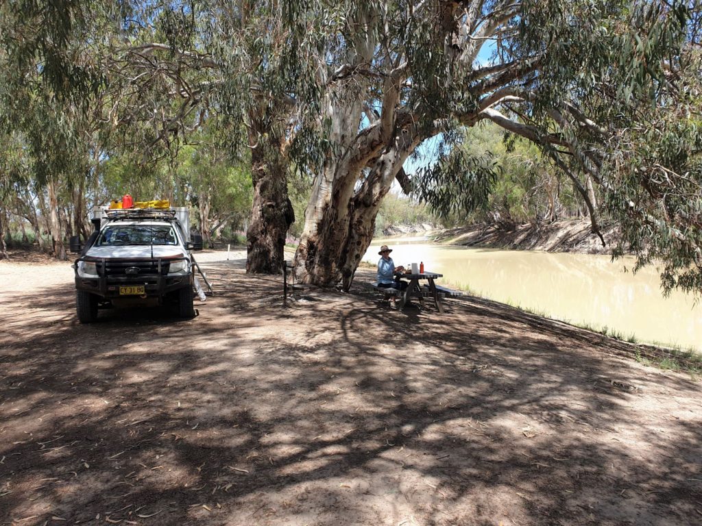
Pooncarie today has only 60 residents and seems to have willingly let life pass them by. We camped on the banks of the Darling just south of town, the huge river red gums casting their branches over the near-still water, the birds at play, the breeze saving us from the 30C (86F) day. To get here we crossed dry open mulga scrubland, passing under a series of clouds uncommitted to their intentions, stopping occasionally to view the river and marvel at the giant gums. It’s impossible to grow weary of these scenes.
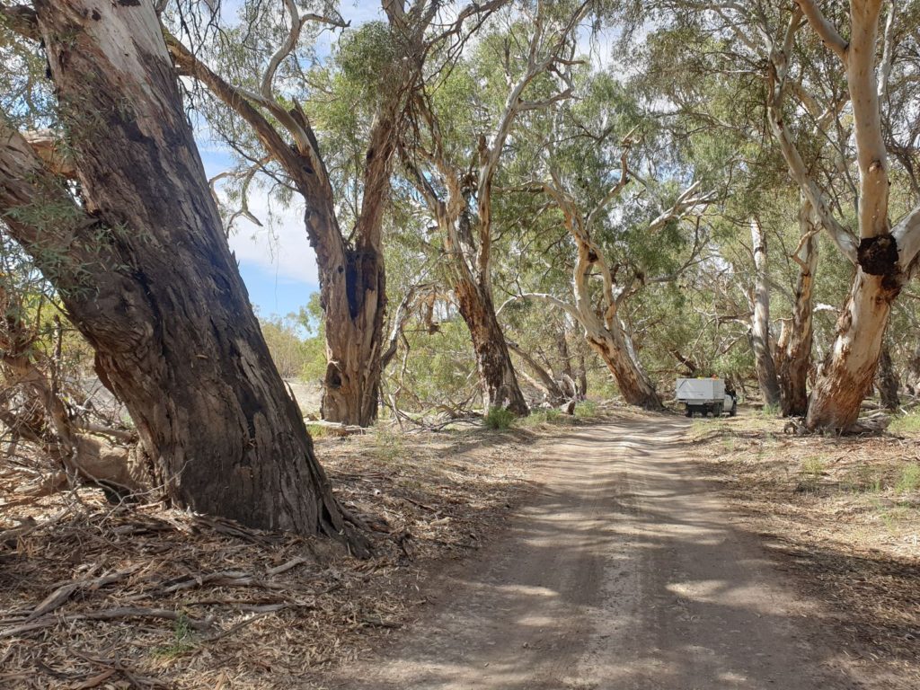
Driving along the river banks is great fun, the huge river red gums gracefully spreading their branches above us
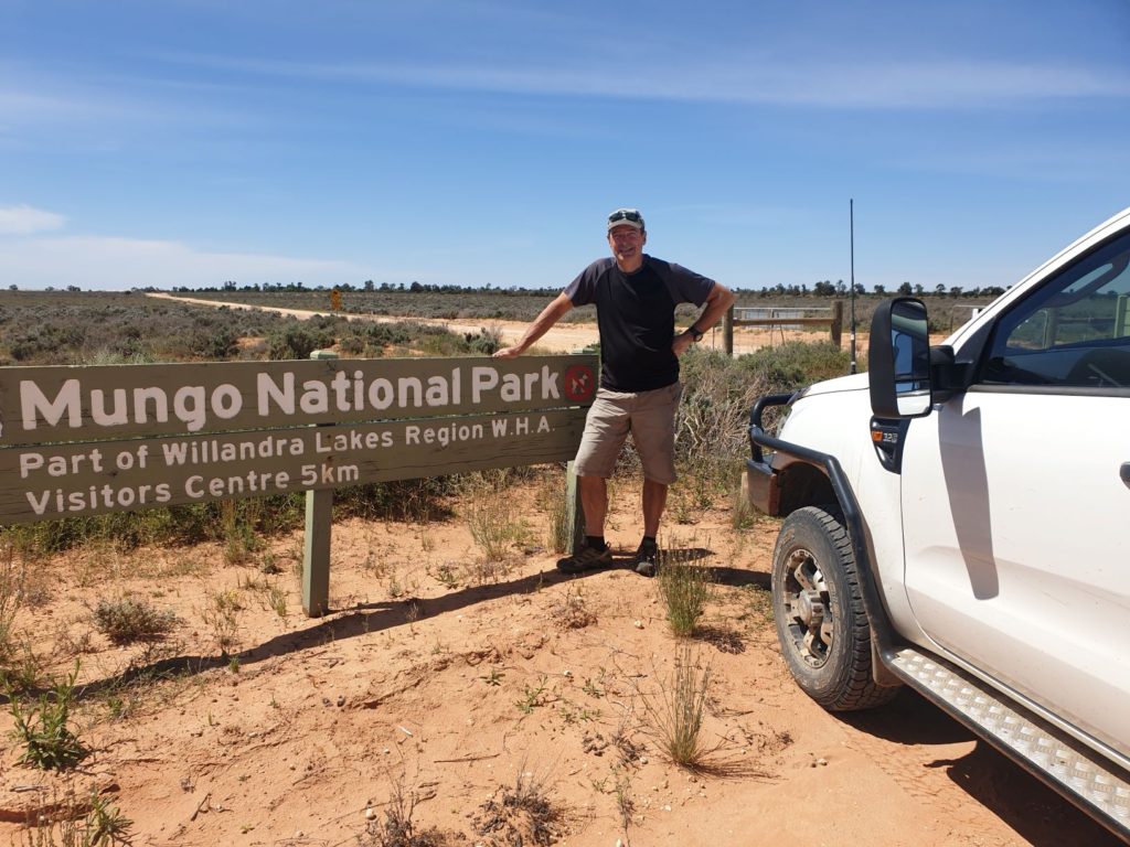
The next day we left the river system – at least for now – and followed the bitumen and then dirt tracks into the huge Willandra Lakes World Heritage Area and Mungo National Park.
It was in the area of what is called the Walls of China, which is an ancient curving sand dune called a lunette due to its shape, that archaeologists found what is generally accepted as the oldest signs of human habitation outside of Africa. In the 1970’s the discovery of the remains of Mungo Lady and later the skeleton of Mungo Man changed the dateline of human life in Australia and around the world. These remains, plus other burial sites, fire sites, middens and tools, date life here to at least 40,000 years ago. Astonishing stuff!
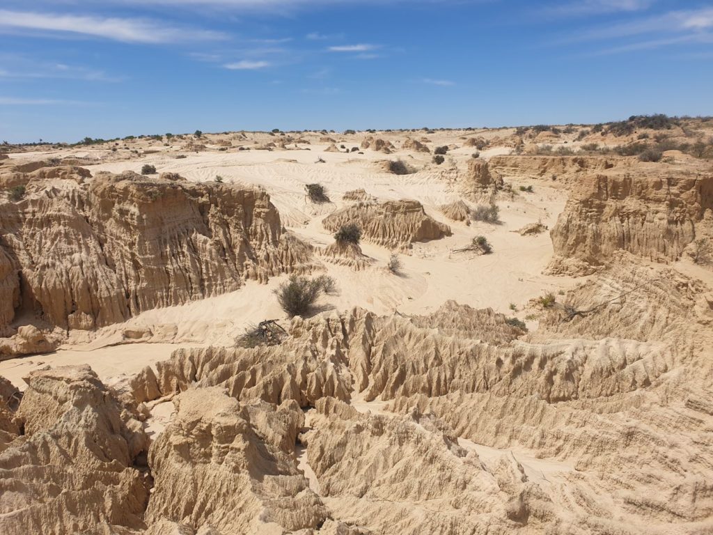
Part moon-scape, part Aussie desert, these timeless scenes of ancient human habitation in such a remote location had quite an impact on us
As is common across Australia, the national park is actually made up of a number of former sheep stations and we visited both the Zanci and Mungo homestead. These properties, and especially their fabulous woolsheds, have been well preserved and tell the amazing story of settlers here in the late 1800’s running sheep and trying to etch out an existence in this barren and inhospitable land. How they did it is beyond me but their success fed the unquestionable appetite for wool in England and played a large part in making Australia what it is today.
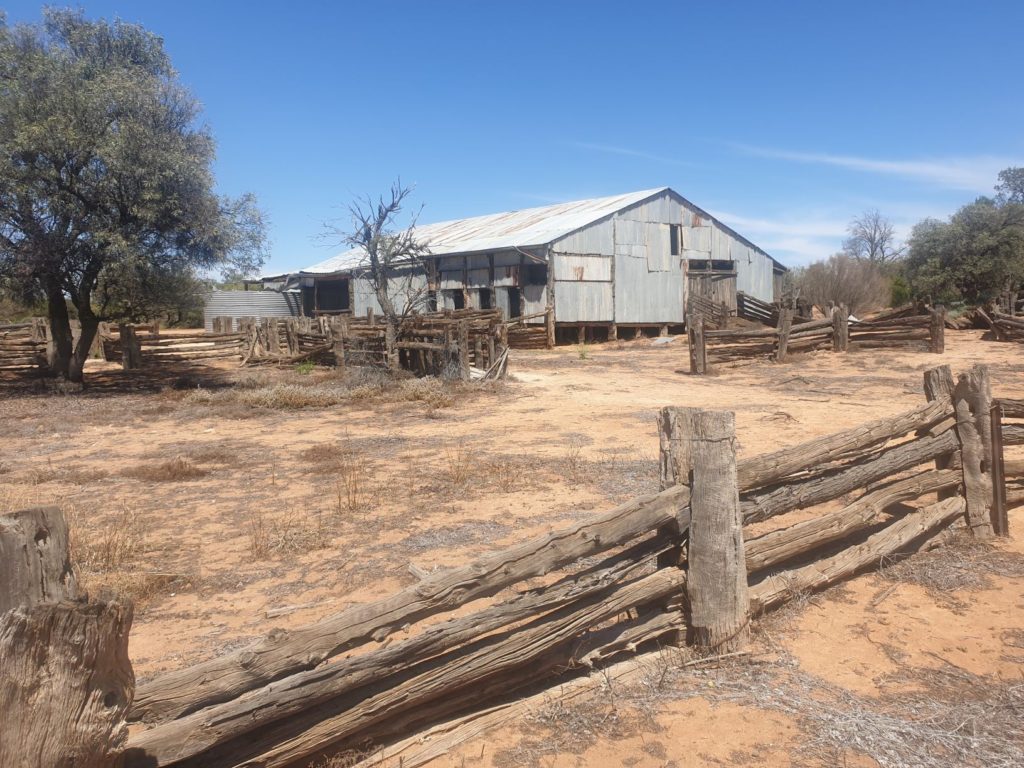
This beautifully preserved woolshed with some of its original fences was the highlight of the old Zanci station…
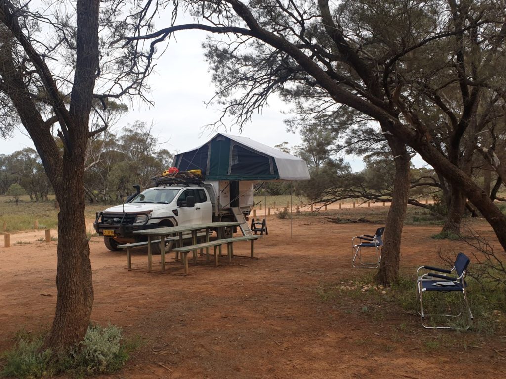
We then drove out to the Walls of China, a timeless landscape where the large Mungo Lake has been dry for many thousands of years. It was near here that Mungo Lady and Mungo Man were discovered. We then followed the loop road around the park, gaining a better understanding of the lunette and pastoral life in this harsh land of mallee scrub, sand and flies. And we camped amongst it all, stopping at the remote Belah campground for a quiet night in the bush all by ourselves.
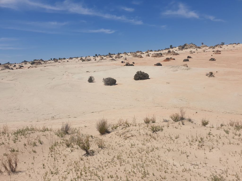
This giant sand dune called a lunette due to its quarter-moon shape is where these ancient humans lived
A small sidebar, if I may. As the whole corona virus thing took off the NSW national parks service initiated a policy whereby any campers in national parks had to book their spot online in advance. The intention was clear – we need to limit the number of people in these public places, keep social distancing, do the right thing. And for that I’m sure everyone said fine, even though beforehand there were no forward bookings for campsites and most of them were free anyway.
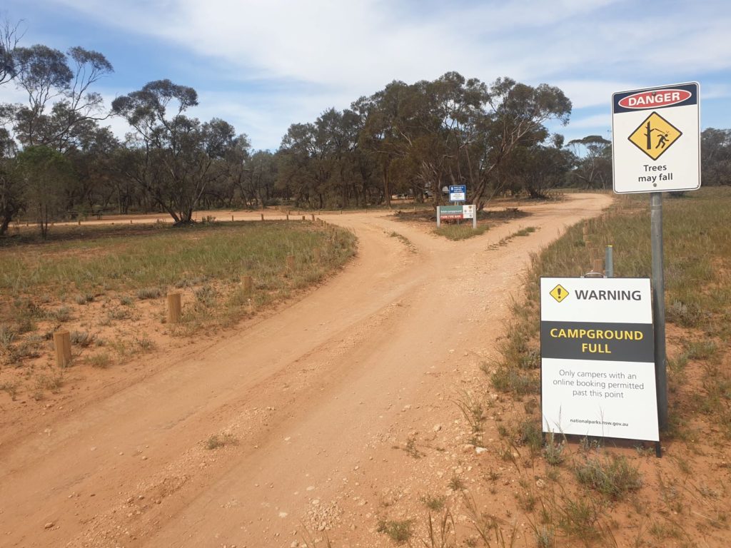
An odd scene – signs saying the campground was full and yet we had the whole place to ourselves all night
Sadly the system hasn’t been a roaring success from our point of view. Some campsites are shown full online but are completely empty (such as Belah campground in Mungo NP), some you can book and pay on the honour system when you arrive (Sturt NP) while others seem completely full with no consideration for social distancing (Kapatur NP). And in no cases are these rules enforced. On a rare occasion when we see a ranger they never show any interest in whether we have a reservation or not – they’re busy and have more important things to do. As a result we’ve adopted a case by case basis and try to book and pay in advance if we know where we’re going and if its practical. End sidebar.
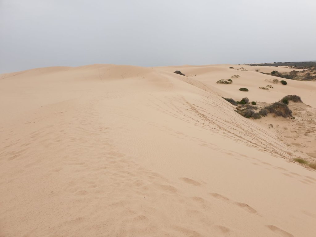
Mungo National Park had a couple more surprises before we left its ancient lands. We loved climbing the sand dunes which form the back side of the Walls of China lunette and marvelled at the size of Mungo Lake from its lookout – even if the name is a bit of a misnomer since it hasn’t had water in it for 18,000 years. As we left the park the drizzle was turning to rain and the ranger had warned us the park would be closing shortly so all the dirt tracks don’t get gouged up by the vehicles.
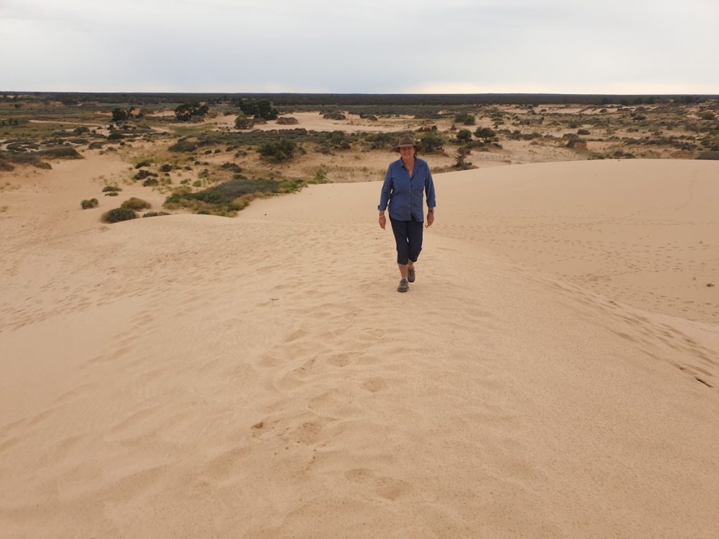
This was a surprise – the back side of the lunette revealed extensive sand dunes for us to explore in the light rain
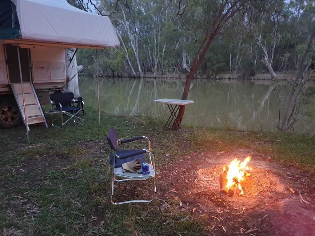
We followed a series of dirt roads down to the town of Balranald on the fabulously-named Murrumbidgee River and after visiting the old woolshed and homestead in Yanga National Park we journeyed toward the town of Maude and found a fabulous place to camp by ourselves on the banks of the river, full of bird and bug life, a drizzly and cool evening but another unforgettable river scene.
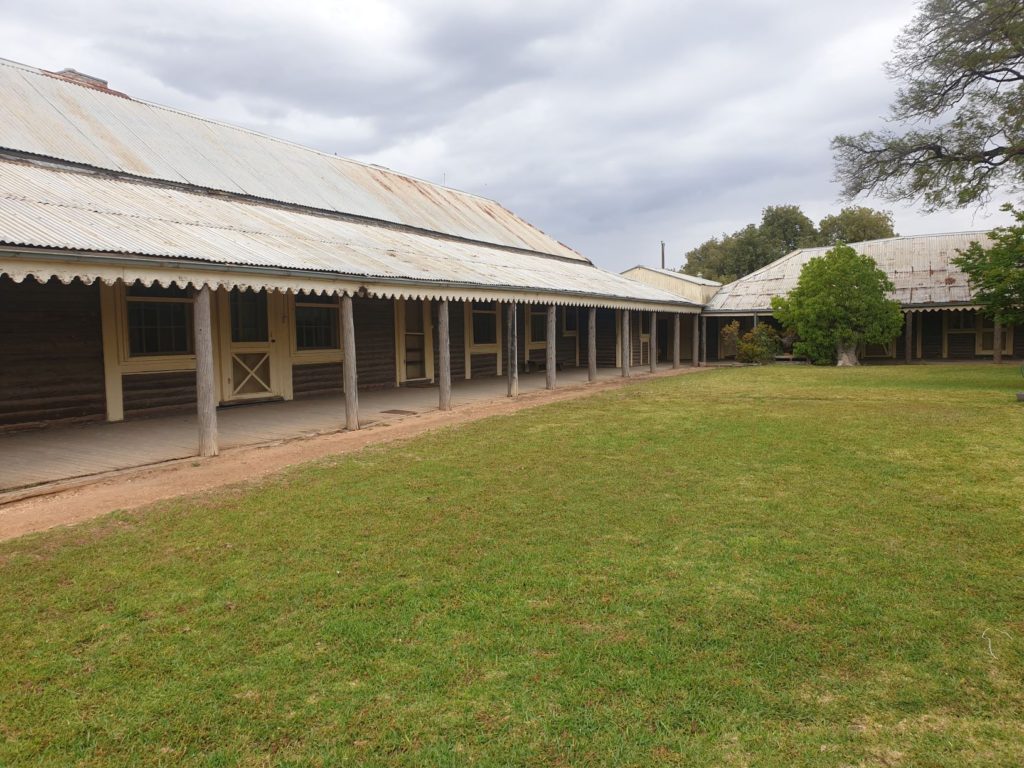
The old homestead at Yanga was in excellent condition and looked like it could have taken guests that night
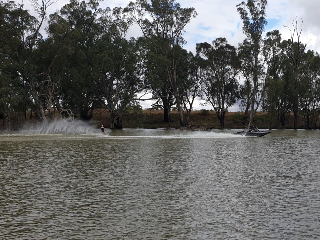
The Murrumbidgee River was near the top of its banks and gave keen water skiers enough room for a ski
The rain front that had hit this area had closed the campsites in the local national parks and brought us steady rain for most of the night. The dirt track from where we camped turned into a slippery and slidey affair but Wanda enjoyed the sideways challenge.
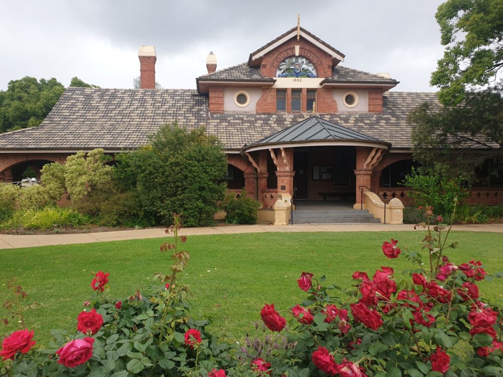
In the regional town of Hay, which looms much bigger on the map – much like Burke in northern NSW – but only has 2,400 people, we visited two small museums that tell interesting stories about the town’s past – the WWII internment camps and the multi-purpose gaol (or jail, if you like). Both experiences were a bit quirky but helped us gain a good feel for the town.
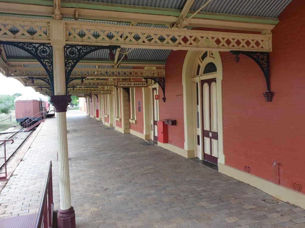
Who knew Hay had a huge internment camp during WWII? The little museum at the old train station revealed all.
We decided to head further south to the Victorian border and to visit another river, the grand daddy of them all, the mighty Murray which forms the border between the two states for much of its passage. But as things happen, we didn’t quite get to the Murray, instead finding the Murray Valley National Park just south of the town of Deniliquin and camped for the night on the banks of the Edward River.
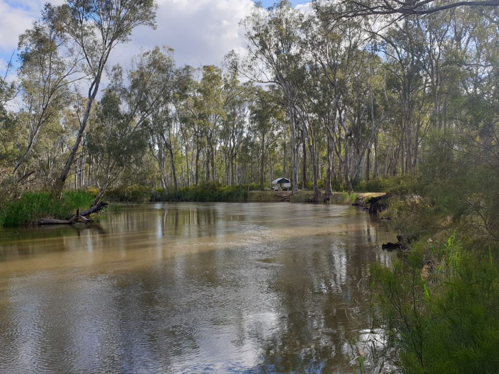
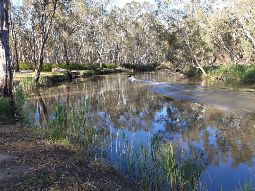
Our camping spot on the banks of the Edward River – you can see Wanda almost hiding amongst the trees
The weather had been cold and dicey all day but ironically there was a summer fire ban in the park so we didn’t have to try to burn our wet firewood. And the Edward River, like all the others we have seen recently, was bursting at the seams, cold muddy brown water rising as far on its banks as was natural and passing us at a good pace.
Murray Valley National Park protects a long pristine shoreline of the Murray River with the Victorians matching the moment by having Barmah National Park on the southern side. Here the river winds its way in tight turns, sometimes forming compacted S bends as it moves from the Snowy Mountains to the Southern Ocean.
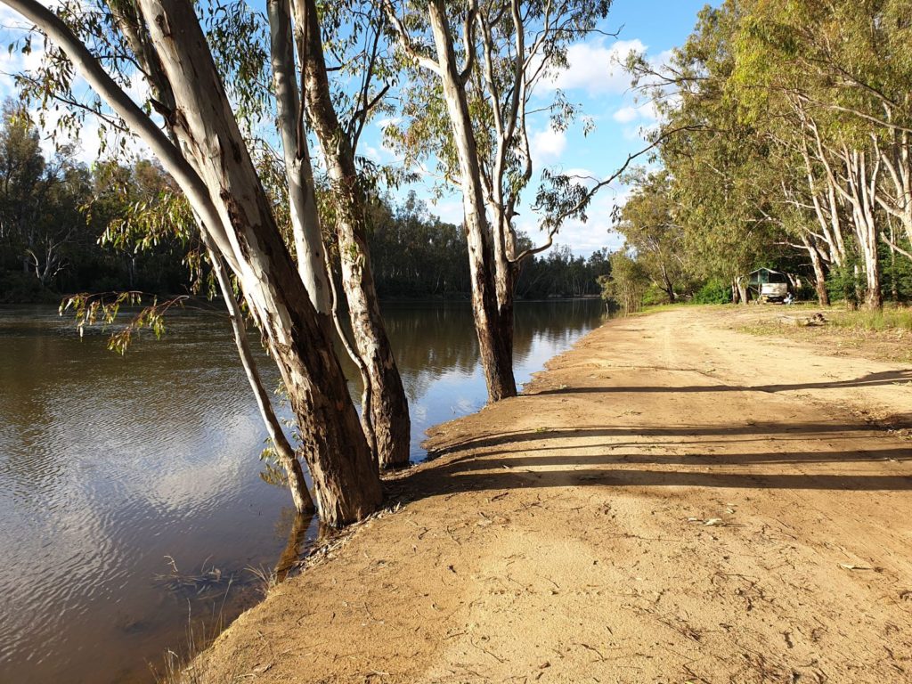
When we first saw it at Picnic Point in the heart of the national park it was wide, brown, full to the brim and moving swiftly, a hopeful fisherman in a small tinnie moving about carefully. We followed the river downstream on a narrow track through the huge river red gums, part of what we learned was the largest river red gum forest in the world. A river in full force is a sight to behold and the Murray definitely fit the bill. Along the river’s banks were idyllic places to camp, boundless views of the river in both directions, the noisy river birds your only companion.
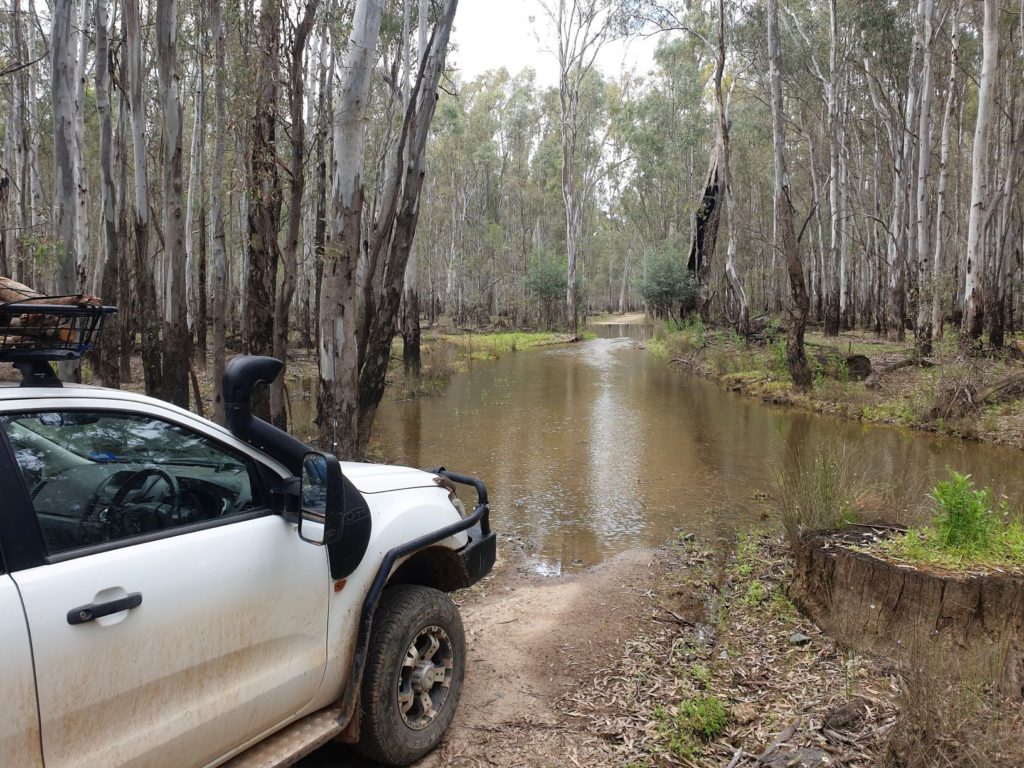
Many of the tracks leading down to the Murray River were in poor condition or swamped due to recent rains
We eventually came to Swift Creek and followed a walking track further along the river’s banks, absolutely overwhelmed by the hundreds of cockatoos and nankeen night herons complaining about us from high in their branches, then flying off in all directions. Impossible to photograph but truly an experience to savor.
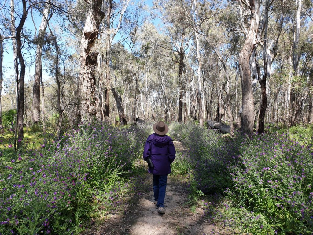
Now that was special – our presence on this overgrown track along the river stirred up hundreds of noisy cockatoos and herons which filled the trees and skies above us
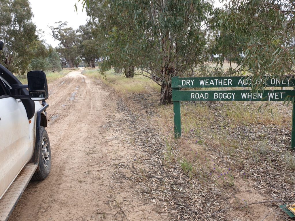
We moved over to the eastern side of the park but found a number of tracks leading down to the river flooded due to the recent rains. Never mind, we persisted and after a beautiful drive on a dodgy narrow track through the river red gums and fields of colourful Patterson’s Curse we popped out at what is called Paradise Beach, a long section of gently sloping sandy bank of the river, not another soul in our universe. It was another perfect 10 campsite.
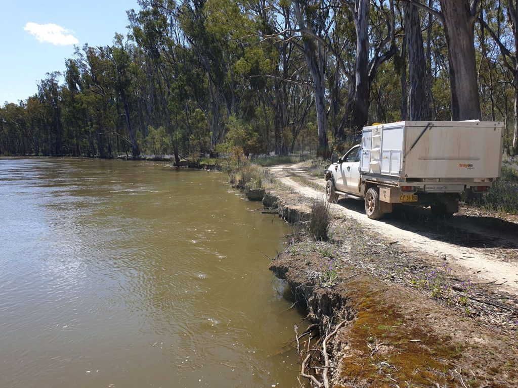
On another track we finally got down to the river, only to find the track went scarily close to the river’s edge
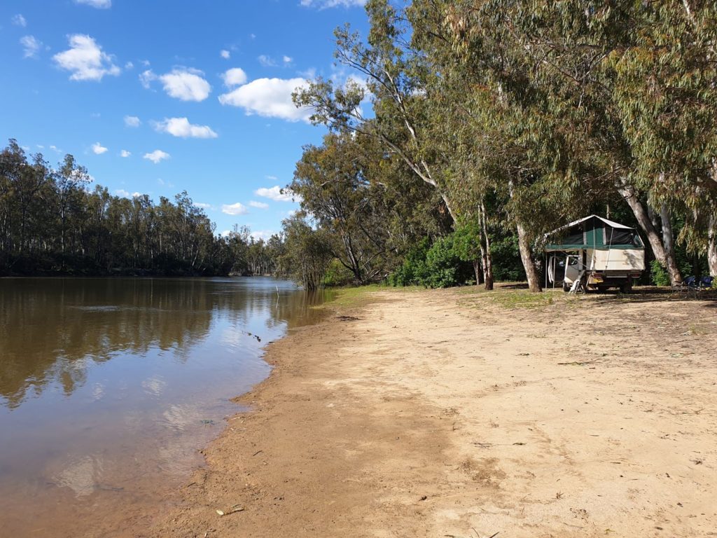
This spot was aptly named Paradise Beach and we had it all to ourselves for the night – absolutely perfect
Over the last few days we had camped next to the Darling, Murrumbidgee, Edward and Murray Rivers, all wonderful experiences worth coming back to. We knew this would probably be our last riverbank camping spot as our journey would continue eastward and eventually into the Snowy Mountains. So be it, we know there will be more adventures ahead of us.
Comments
All the rivers run — No Comments
HTML tags allowed in your comment: <a href="" title=""> <abbr title=""> <acronym title=""> <b> <blockquote cite=""> <cite> <code> <del datetime=""> <em> <i> <q cite=""> <s> <strike> <strong>