Westward ho…and then some
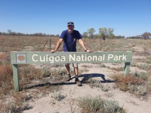
We partly plotted our exploration of NSW by visiting national parks – including the remote Culgoa NP
New South Wales is speckled with hundreds of national parks – in fact, an astonishing 237 at last count – many of them offering no services to the passing traveller or are otherwise completely inaccessible. These obscure green splodges on the map may lack outstanding features that would otherwise attract a crowd and instead are intended to preserve valuable geological places or areas, sometimes for its flora and fauna, for future generations. A worthy cause, no doubt. But Julie and I still had a hankering to check them out, well – as much as we can, so we often detoured up dirt tracks to find these hidden secrets.
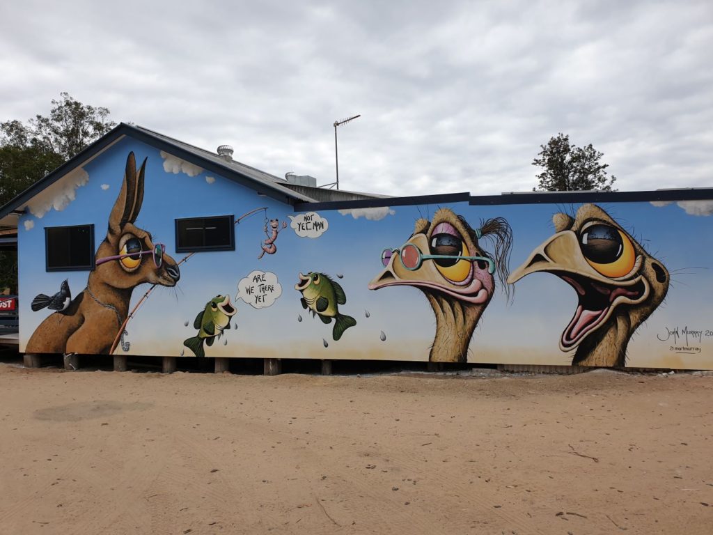
The little town of Yetman benefited from the creativity of a local artist – we were told we were the eleventh person to photograph this brand new mural
In fact, NSW is covered in beautiful, but not often fully appreciated, hidden gems. We spent our morning on a gentle arc northwest through the small rural towns of Yetman and the slightly bigger but dilapidated town of Boggabilla before more dirt roads took us across open plains through the town of Boomi, no more than a wide spot in the road, and Mungindi which straddles both the Barwon River and the forbidden NSW/Queensland border.
Along the way we enjoyed our second thunder and lightning storm of the day after being woken by one that morning. Driving across billiard table flat farm land into a dark and foreboding storm that looms up from the horizon is an extraordinary experience, blackening our day for 20 kilometres before passing through and drying out under the hot rural sun.
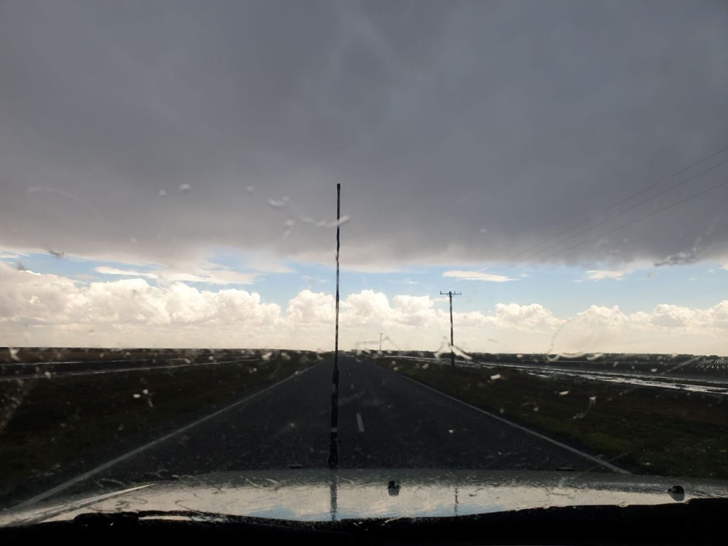
Dark and foreboding thunder and lightning storms moved across the open plains and were very cool to drive through
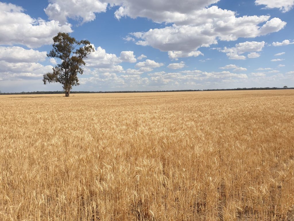
While the roads we passed over in the afternoon were remote and obscure they definitely showed their beautiful secrets to those who ventured forth. At this time of year the vast fields of grain – mainly wheat, barley and sorghum – have turned golden yellow as they await harvest. Their infinite reach in all directions, perhaps only broken by a forest of grain silos, was a sight to see. I am nostalgically reminded of the patriotic American phrase ‘amber waves of grain’.
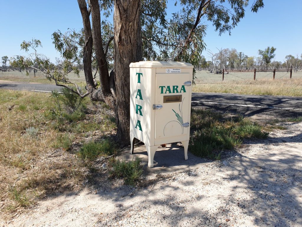
We have a fascination with mailboxes in the far west – this old large fridge has been repurposed as a striking mail box
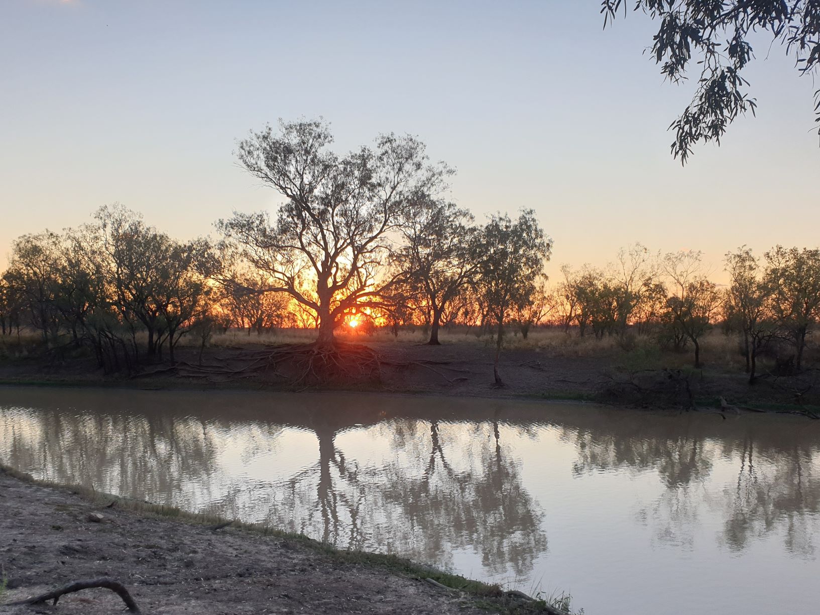
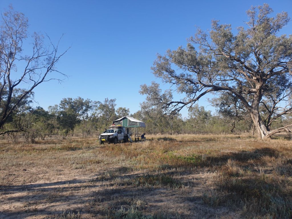
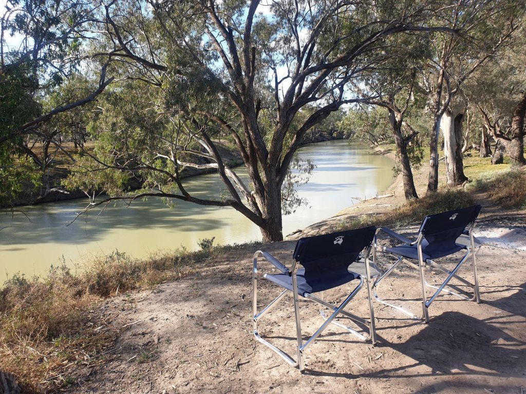
We camped that night near the Barwon River under a giant gum generously spreading his limbs to provide us late afternoon shade. Never mind the army of annoying flies, after all – we’re visitors in their home, this was another tranquil Aussie bush site like we love so much.
Our plan over the next couple of days was to make our way to Calgoa National Park up on the Queensland border and then head down to the regional centre of Bourke where coincidence would run deep and we would cross with some good friends of ours travelling about the region themselves.
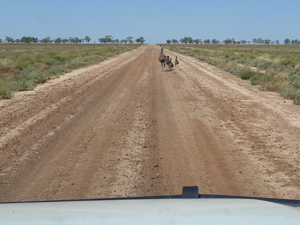
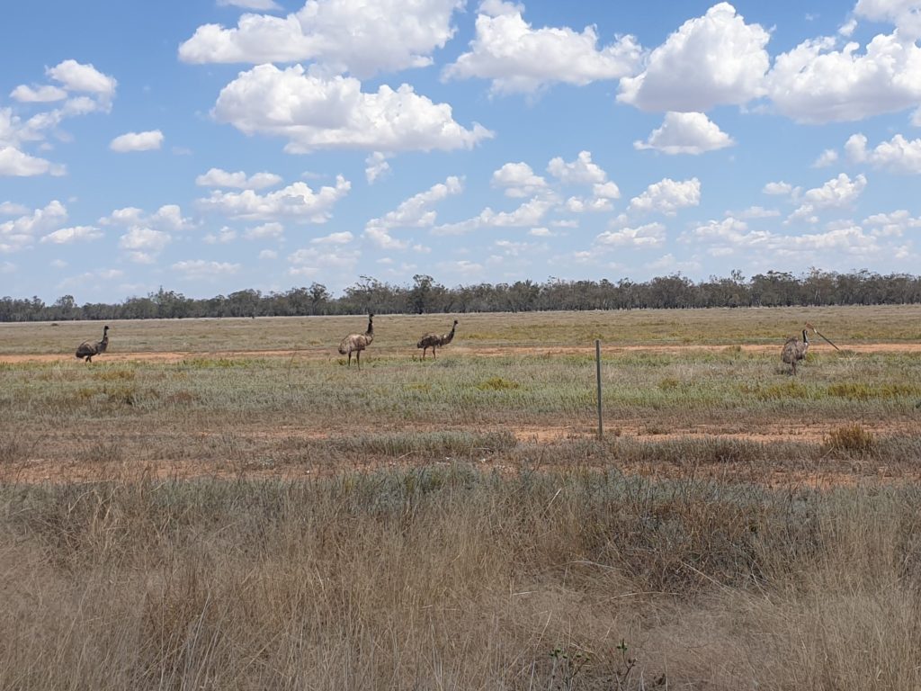
Emus and their chicks were a constant entertainment as we moved west – the problem is they sometimes dart out on the road in front of an ever-wary Wanda
In the quiet country town of Walgett, which appeared to have significantly improved its appearance and livability since our last visit, we did some shopping and had lunch, then headed north to the quirky town of Lightning Ridge. Lightning Ridge is a genuine Australian one-off, made famous for being the black opal capital of the world, made infamous for the eccentric people that it has attracted over the years and the harsh landscape that these hearty miners survive in as they seek their elusive fortune.
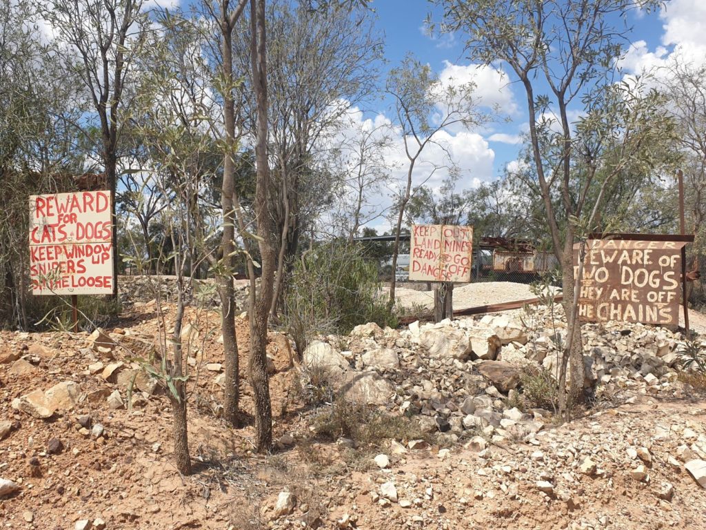
Some of the people of Lightning Ridge are said to be a bit different and maybe these signs confirm it
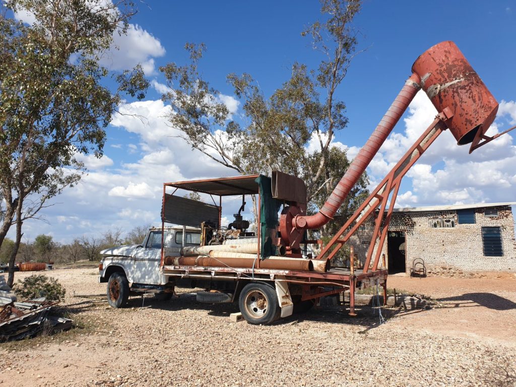
Now the locals seem to mine the tourists more than the opal, such is the numerous souvenir shops, jewellery stores, mine tours, cafes and motels. Supported by no less than four caravan parks in addition to many motels, the town flourishes on visitors who want to do mine tours, buy opal jewellery, do self-drive tours past some of the old mines and past many of the old timers living in their barren scrawl. Lightning Ridge is one part a little sad but another part quite fun to visit (briefly).
We enjoyed a couple of these self drive tours around some of the sights of the town and its surrounding area before heading for the public artesian baths where we soaked in 41.5C (107F) water bubbling up from the Great Artesian Basin deep below the earth’s surface while sitting under 31C (88F) blazing sun. All good fun. And here’s another odd fun fact – Australia has the largest artesian (underground water) basin in the world and yet it is one of the driest continents in the world. Go figure.
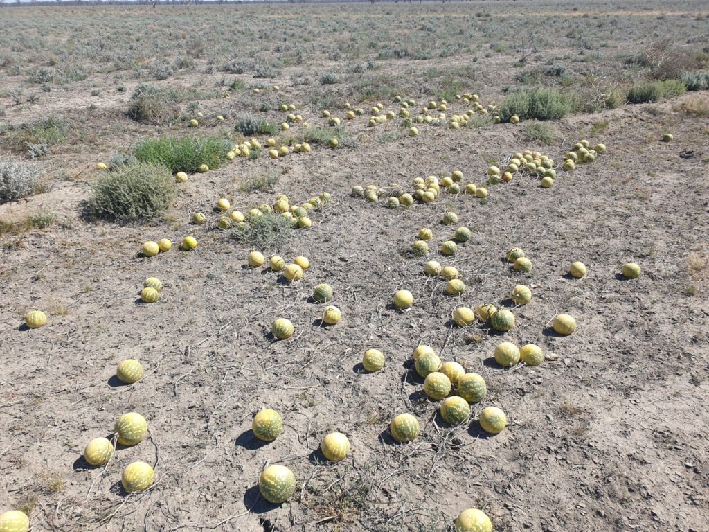
I’m always amazed by paddy melons growing on the side of the road but not even the Aborigines have found a way to prepare them for palatable eating
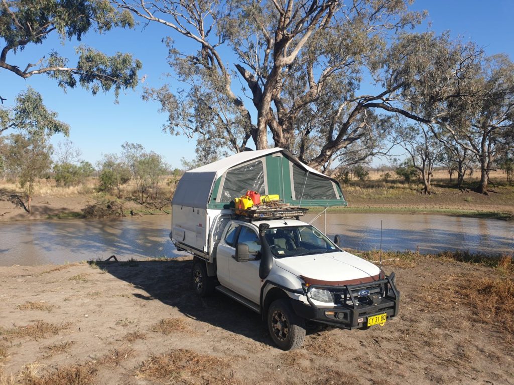
Having a proven solution for finding beautiful camping spots, we headed north to the Narran River where we found another beaut spot under another huge coolabah tree on the banks of this motionless latte-coloured river. Absolute paradise (except for the friendly flies).
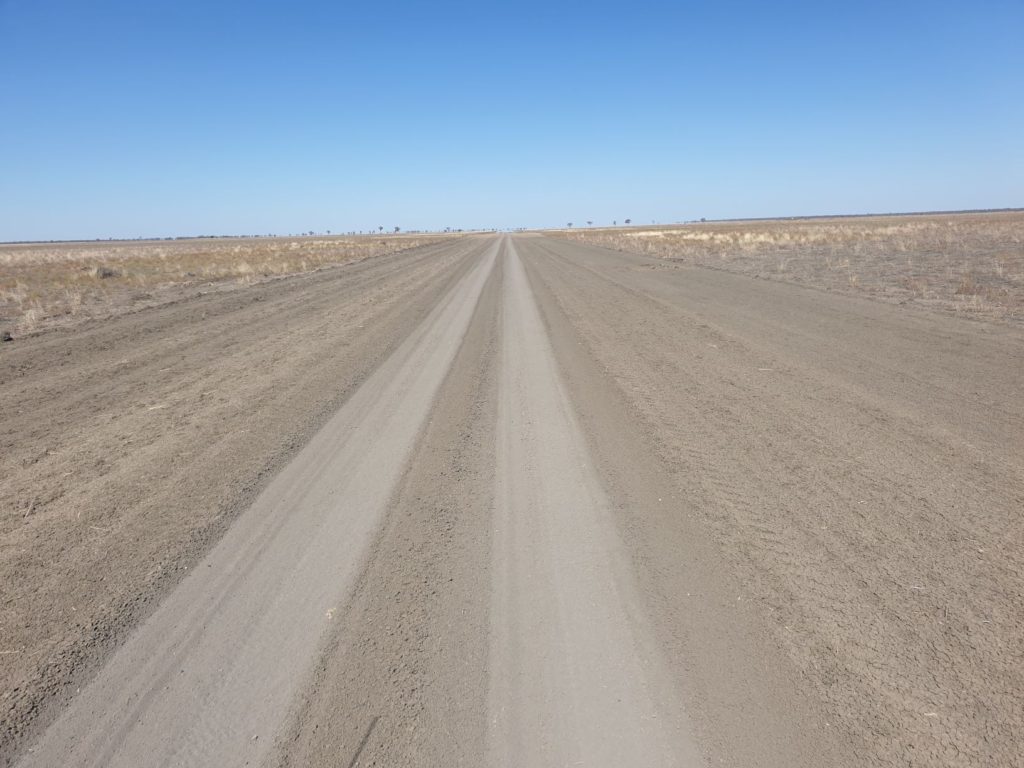
Culgoa National Park is not one of the state’s ‘featured’ parks, partly because of its remote location on the Queensland border north of Bourke and partly because it’s main purpose is to protect wetlands which some would see as less of a drawcard than jagged mountains, river-forged canyons or pristine coastal reaches. Never mind, we followed a series of single lane dirt tracks, dodged a few emus along the way and entered this dry and barren landscape, no sign of wetlands or even anything wet.
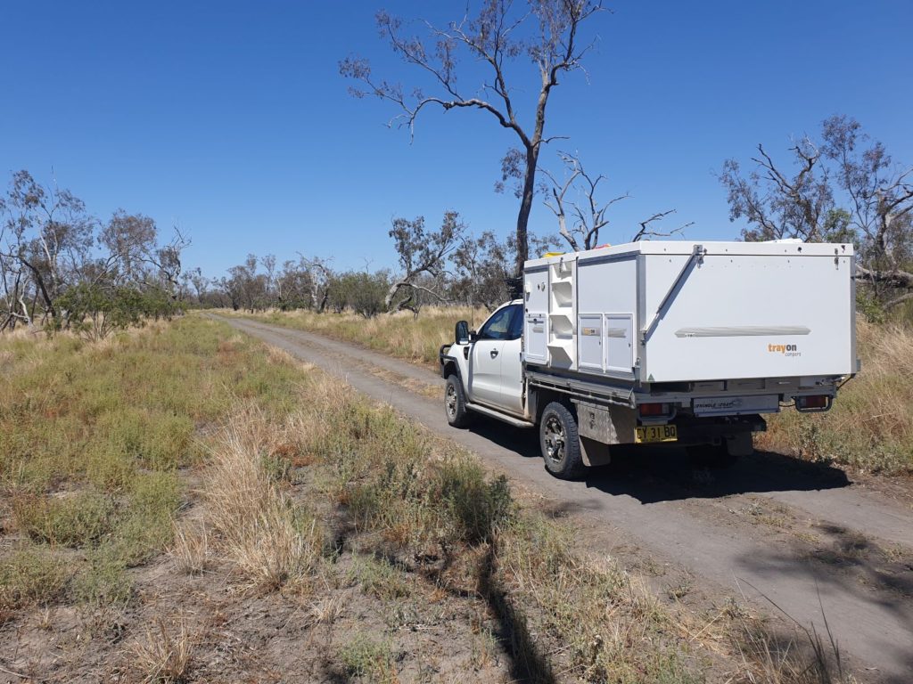
We didn’t see another vehicle the whole time in Culgoa National park – dry, remote and all to ourselves
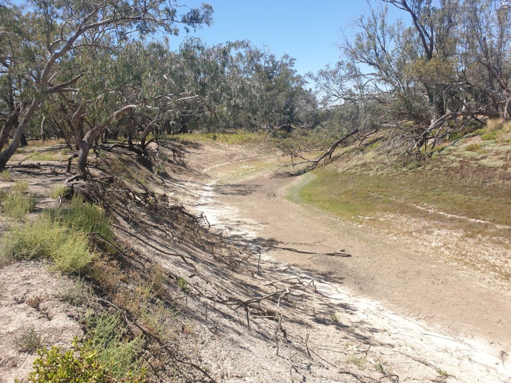
The Culgoa River, which weaves its way through this land and is said to host a wide range of birds, was completely dry save for a couple of shrinking billabongs and the combination of the intense heat and the attack flies made the park much less compelling than in the brochures. Julie and I walked along the river’s banks, enjoyed a lunch in some precious shade and decided the lure of other places was too much to keep us in this dusty and hot camp. Onward!
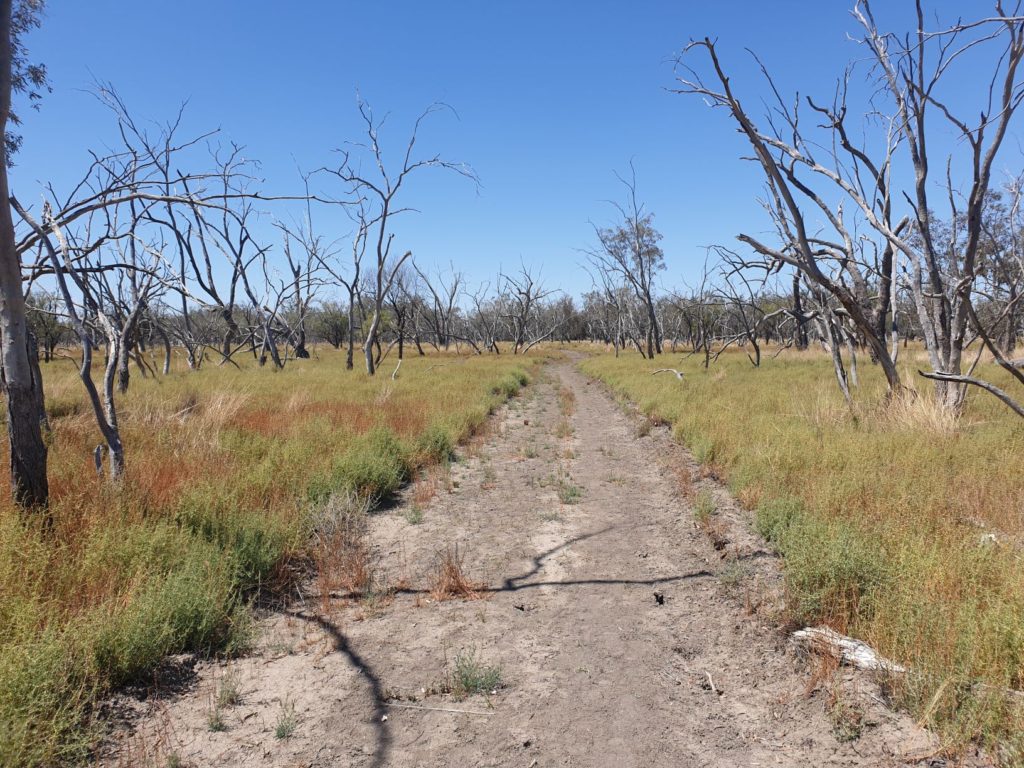
The walk to Culgoa River was a strange mixture of the skeletons of burnt trees, colourful desert grasses and swarming flies
We spotted Narran Lakes Nature Preserve on our maps and decided that sounded like a better place to camp for the night. With Karen, our sometimes-reliable GPS, leading the way along single-lane tracks and back paddocks on one of her shortcuts we soon found ourselves driving past remote stations on private land with no paths forward. Retreat! Back to the main road and southward, camping for the night in a near-perfect spot on the banks of the mighty Barwon River, giant river red gums and arching coolabahs lining its steep banks, a few kilometres from Brewarrina. Another riverside campground, just wonderful.
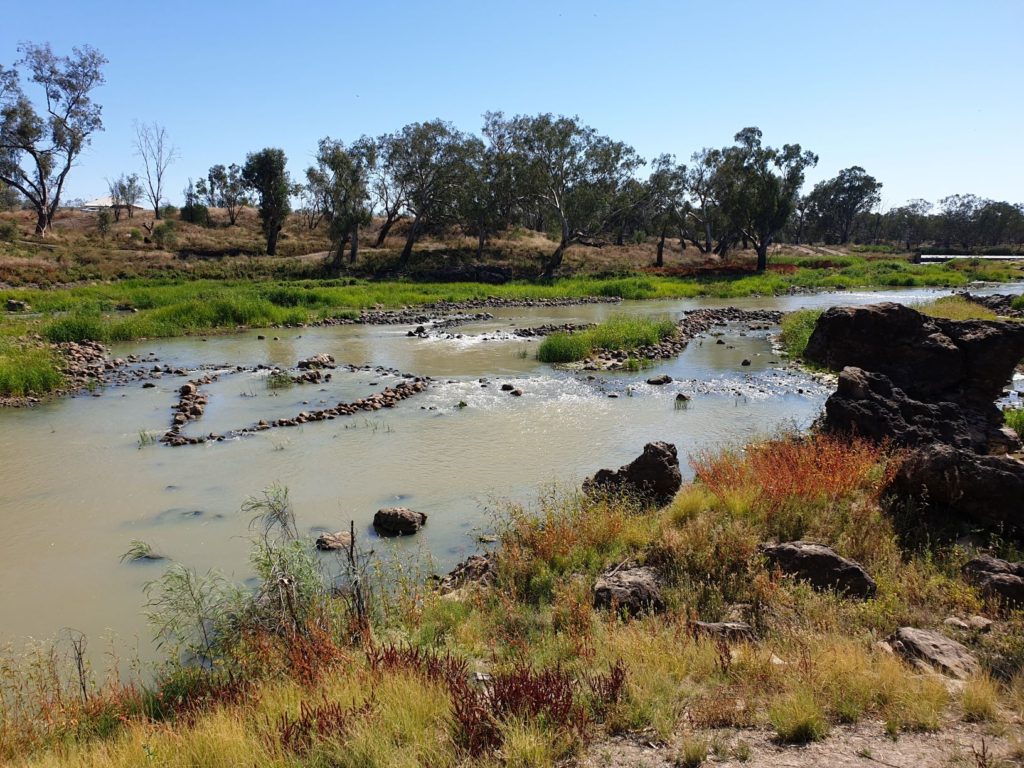
Brewarrina is a town best known for its Aboriginal history – in fact, some of the earliest history recorded by man. As the Barwon River passes through town there is a series of stone fish traps built by Aborigines that captured the fish to make it easier for the locals to catch. But the amazing feature of these fish traps is that experts measure their age as up to 40,000 years old, making them some of the oldest man-made structures in the world. Very cool and very special to view them from the banks of the river.
The town of Bourke carries the moniker ‘regional centre’ with some pride, the largest town in all directions for many hundreds (and in some directions, thousands) of kilometres. In this part of the world all roads lead to Bourke but we know from having been here a few months ago that travellers can be a tad disappointed when they arrive. After all, Bourke only has about 1,800 residents and the services it offers is very limited. Indeed, the Aussie phrase ‘Back of Bourke’ refers to everything beyond Bourke…which actually is just a whole lot of red outback desert.
We were in Bourke to meet up with some good friends of ours, Geoff and Ros, who happened to be passing through at the same time. Hard to catch up with in Sydney but dead easy in Bourke, we had a fabulous night of drinks at our camper followed by a bistro dinner in town’s pub. Really great fun, in fact so much fun that we forgot to take any photos of the big night!
Ah yes, back of Bourke, that’s where we were headed the next day, into the never never. And now the fun really begins!
So glad you are still travelling and enjoying this amazing country we share.
Stay safe.
Xoxo
Yes, we keep moving so its harder for them to catch us!