The Three Capes Track
Tasmania is a giant playground for outdoor enthusiasts, people who like to walk through native rainforests, stride sheer ocean cliffs, trudge up and down dramatic mountains and mix with unique flora and fauna. All of this while not really caring about the weather, which in Tasmania can change hourly. Julie and I have been flat out busy during the last couple of months in Sydney but we took a break from the Big Smoke’s hustle and bustle and flew down to Tassie with family and friends to experience one of the island’s most heralded walks – The Three Capes Track. And what an experience it was!
The Three Capes Track is the brainchild of the Tasmania Parks and Wildlife Service, an ambitious project to bring some of Tasmania’s most spectacular scenery within reach of people who are willing to carry their supplies on a four-day three-night walk while staying in beautiful environmentally-friendly huts. Building the track took five years with the help of 400 people and an astonishing 18,000 helicopter drops. Remote muddy trails that previously only saw about 600 of the heartiest and most determined backpackers a year now sees over 12,000 hikers a year without any degradation to the environment or change to the landscape. It is a world-class attraction showcasing some of Australia’s finest scenery and worth every step.
We flew down to Hobart with Julie’s sister Jacinta and her husband Andrew and walking mate Ian. The five of us spent a couple of days in Hobart, enjoying the local sights, celebrating Jacinta’s birthday in a gin distillery (as you do!) and appreciating the slower quieter pace of this lovely historic city.
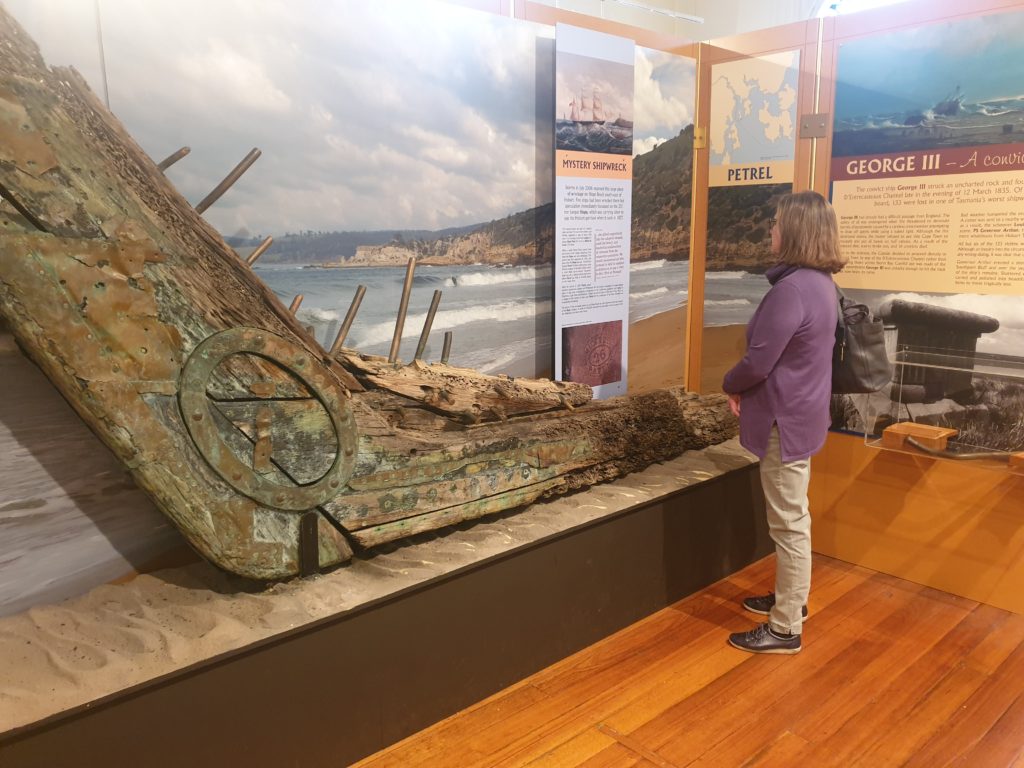
Julie checking out the excellent Maritime Museum in Hobart celebrating the city’s rich maritime history
But our packs were full of clothes, food and wine (yes, we’re tough but we need our comforts) for the next four days. We caught a bus out to the historic site of Port Arthur where our journey would begin. We had the chance to wander amongst the ruins of the Port Arthur penal colony, described as a place of beauty and brutality. Port Arthur was one of the biggest dumping grounds for England’s convicts in the 19th century and between 1830 and 1877 over 12,000 convicted criminals, some for crimes as trivial as stealing a loaf of bread to feed their family, endured the long journey to Australia and were housed in the sandstone buildings overlooking the water. It was a grim reminder to one of the darkest chapters of Australia’s history.
We took a scenic boat ride through the swirling rain and followed the coastline of the bay of Port Arthur, giving us glimpses of white breasted sea eagles and other birds nesting on the cliff face. In short order we were dropped off in the little pebbly beach of Denman’s Cove and the official trailhead of this 48-kilometre walk. A little soggy but pumped for our big adventure, we headed off into the wilds of the Tasmanian bush. Well, sort of.
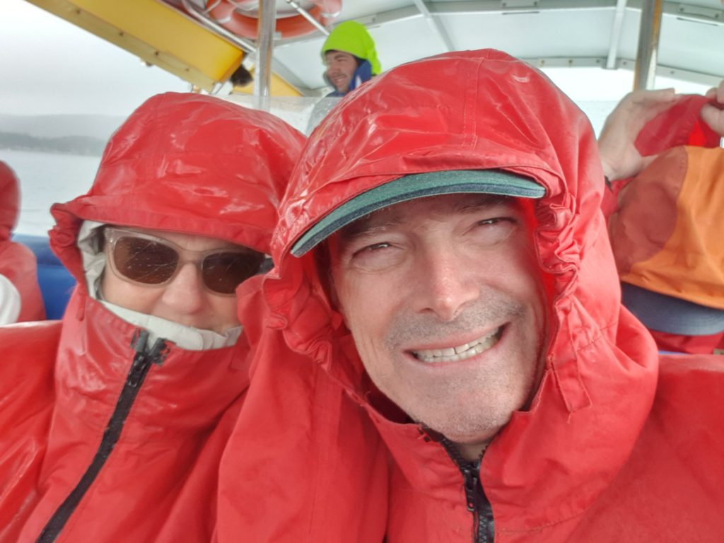
It started to rain on our scenic boat trip around the bay of Port Arthur but we were still all smiles
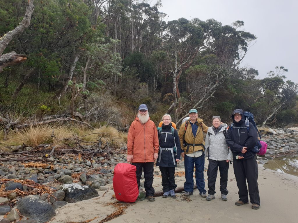
Our team poses for a final shot before starting our walk. From L to R – Andrew, Jacinta, Bill, Julie and Ian
About a third of the Three Capes Track is on raised boardwalk which makes walking very easy and protects the environment. The rest of the track is either refined gravel along the flat parts or carefully built stone steps for the steep parts. The benefit of the high quality trail is that walking was easy and we could swivel our heads around to take in the amazing views of the walk without having to watch where we place every step.
And just to clarify another unique feature of the Three Capes Track. For all your efforts to do this walk you actually only go to two capes – Cape Pillar and Cape Hauy. It was always intended to eventually connect the trail with the third cape, Cape Raoul, but now that appears unlikely for various reasons so you have to settle for just two capes. Never mind, there is nothing else disappointing about this walk, that’s for sure.
After a lovely short walk through familiar Aussie gum trees with constant views of the coast below us we arrived at our first night’s accommodation – Surveyor’s Hut. Since the track was only completed in 2015 the facilities are almost new and the buildings sat comfortably in a natural clearing of the bush with distant views of the ocean. Accommodation was in bunk beds with 8 beds to a room. Clean, comfy, highly functional and friendly. Up to 48 people start the walk each day so you always have roommates. As our ranger said on our first night, with the share kitchen, public bunk beds and drop toilets you need to embrace communal living. And so we did.
Our group decided to keep food preparation easy so we brought dehydrated food for our dinners and various other simple solutions for breakfast and lunch, plus a good supply of snacks for life on the trail. With sleeping bag, all food, clothes and personal stuff in our pack Julie was only carrying nine kilograms (about 20 pounds) but mine was slightly heavier because I agreed to carry two litres of wine. The sacrifices you have to make.
Under a sparkling blue sky and slightly lighter packs we headed out on Day Two, our first major objective to climb Arthur Peak. The Tassie bush was at its best, damp from overnight rain, a colourful array of spring flowers lining the trail, a couple of pademelons – a marsupial very similar to a kangaroo – watching us pass. A pair of wedgetail eagles circled around us as we perched on a scenic lookout overlooking the bay of Port Arthur.
Arthur Peak was our first real climb, a rise of about 200 metres, and the views from the top across the bay to Safety Cove, Crescent Bay and Mt. Brown made it all worthwhile. The entire walk features break points along the way, such as a bench to sit or a piece of local art, with names such as Mossy is Good, Jurassic Crack and Love in the Woods, which provide short explanations of local history, culture, geography, plants or animals. So we learned a lot about many local features of this area while we stopped to catch our breath.
Because this is Tasmania the weather changes constantly and the afternoon saw revolving doses of rain, cloud, sun, wind, repeat. More interesting was all the different flowers and bushes we don’t get up in the Sydney area and in particular the gum trees which don’t grow straight and tall as they do up north. At this latitude the gums have to be much heartier to endure the more extreme weather conditions and we saw many species which tended to be stouter and grow their branches in all directions, waving in the wind like a drunken octopus. We enjoyed marvelling at their amazing shapes and sizes – I labelled them gums with attitude.

The weather was changeable, the terrain was varied and every stretch of the trail revealed new surprises
Our second night’s accommodation – Munro Hut – was perched high on a cliff overlooking Munro Bight and provided another warm, dry and comfy place to rest our weary bones and enjoy the gourmet food we had brought along. And its just as well because the following day was the longest of the journey, a 19 kilometre (12 miles) trek out to our first cape – Cape Pillar.
We dropped our packs at the hut for this 8km trek out to the Cape which featured named stops along the trail like Hurricane Heath, Perdition Ponds, Desolation Gully and Resolution Point. Through thick forests, scattered heathland, across wind-swept meadows, past a wild diversity of scrubby bushes, flowers and grasses, this walk had it all. Eventually we hit the cliff line and gained our first views of Tasman Island with its handsome white lighthouse and tall forbidding cliffs.
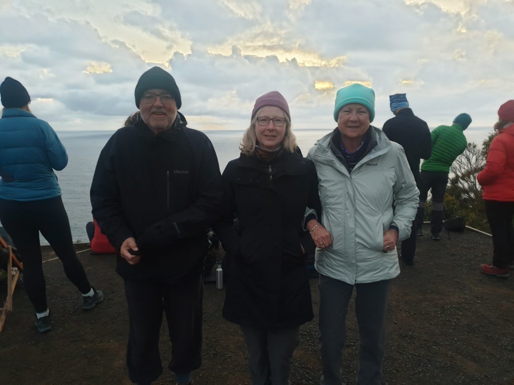
Ian, Jacinta, Julie and I got up early to enjoy the sunrise over the Munro Bight…unfortunately the sunrise didn’t return the favour
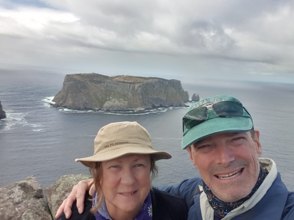
Our first views of Tasman Island were spectacular – what a remote and miserable place to live 100 years ago
Most of Tasmania is made up of Jurassic Dolerite, a rock formed under great tectonic stress 185 million years ago. Along these coastlines this rock exposed at the cliff face looks like an endless supply of pillars or columns, standing up like a huge fence to keep the rest of the island from spilling out. As we walked along the cliff line towards the cape we gained dramatic views of these spectacular rock formations, culminating in a scrambling vertigo-inducing climb up to the tallest point sticking out towards Tasman Island – The Blade. From the top of The Blade, some 300 metres from the crashing surf below, we had fabulous views of the island and the coastline in both directions.
From there we walked out to Cape Pillar itself, enjoyed lunch overlooking Cathedral Rock and made our way all the way back to Munro Hut through uncountable changes in the weather where we picked up our packs and trudged the final three kilometres to our last night’s accommodation – Retakunna Hut. What a day – how could tomorrow’s final day walk compete with that?!
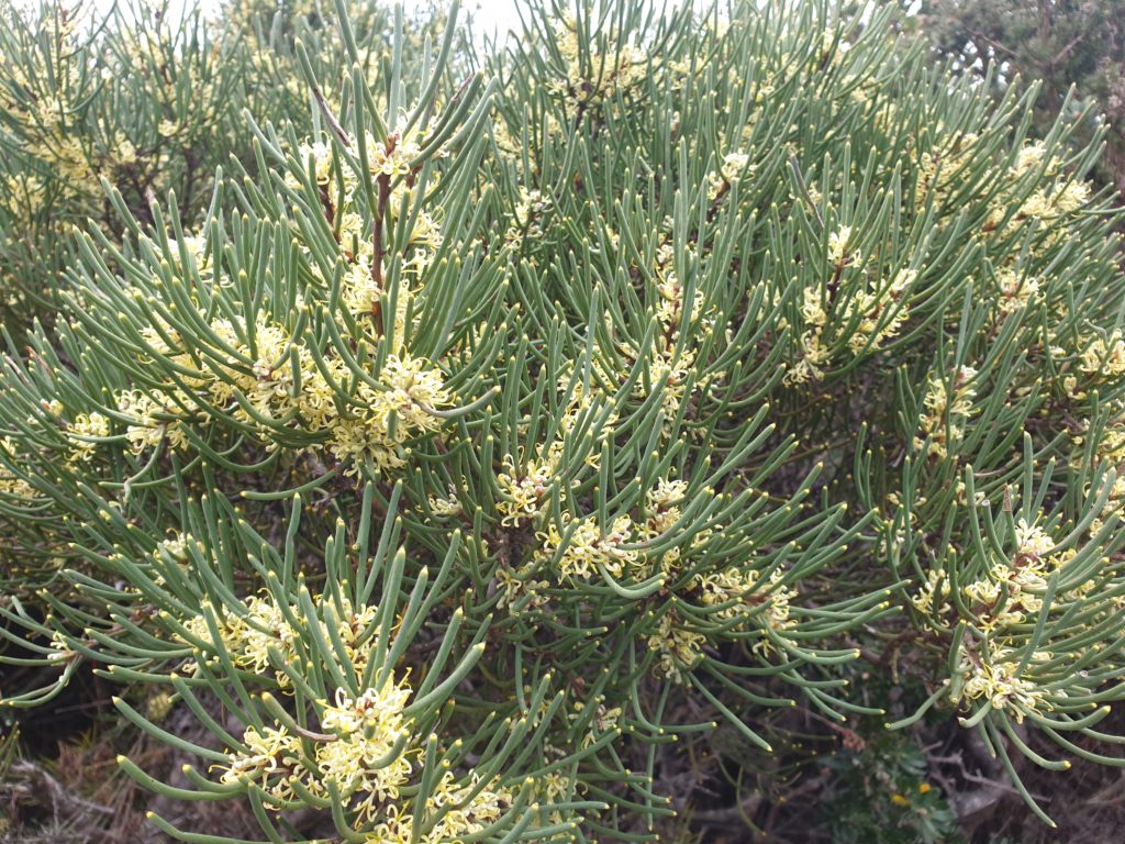
The beautiful and unique plants we saw along the way – many of them in springtime bloom – was an unexpected highlight of our walk
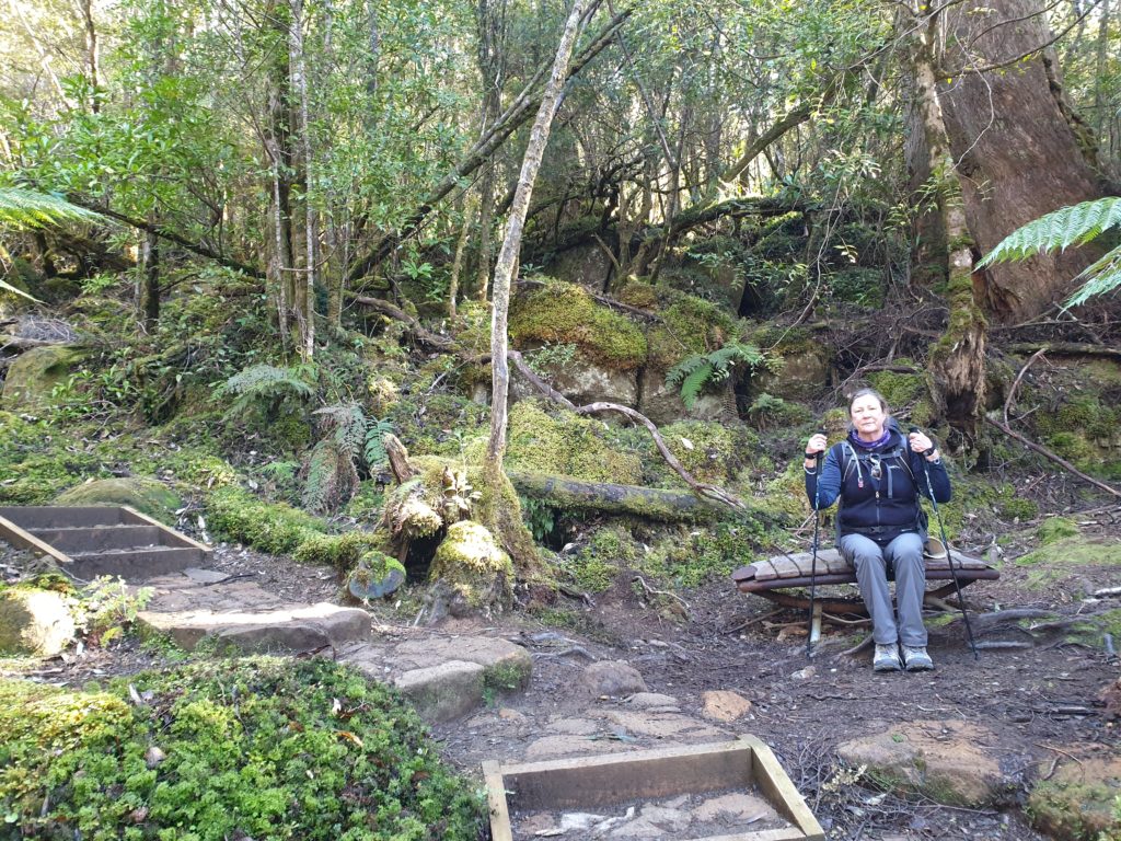
The last day could be described as up, over, out and back. We started a bit earlier, our packs light with no food (or wine), but on a bit of a schedule because we had to catch the last bus at Fortescue Bay back to civilisation. We immediately began the 250 metre climb up the steep slope of Mt. Fortescue, through enchanting green rain forest, mosses and ferns and lichen carpeting everything around us. Julie and I paused to rest on one of these informative resting seats and in this lush green jungle just listened to the birds in the trees and the waves crashing far below us. It was heaven. We hugged the edge of the cliff along the coast, gaining dizzying views of the ocean below, until we came to a track intersection and dropped our bags for the out-and-back journey to our second cape.
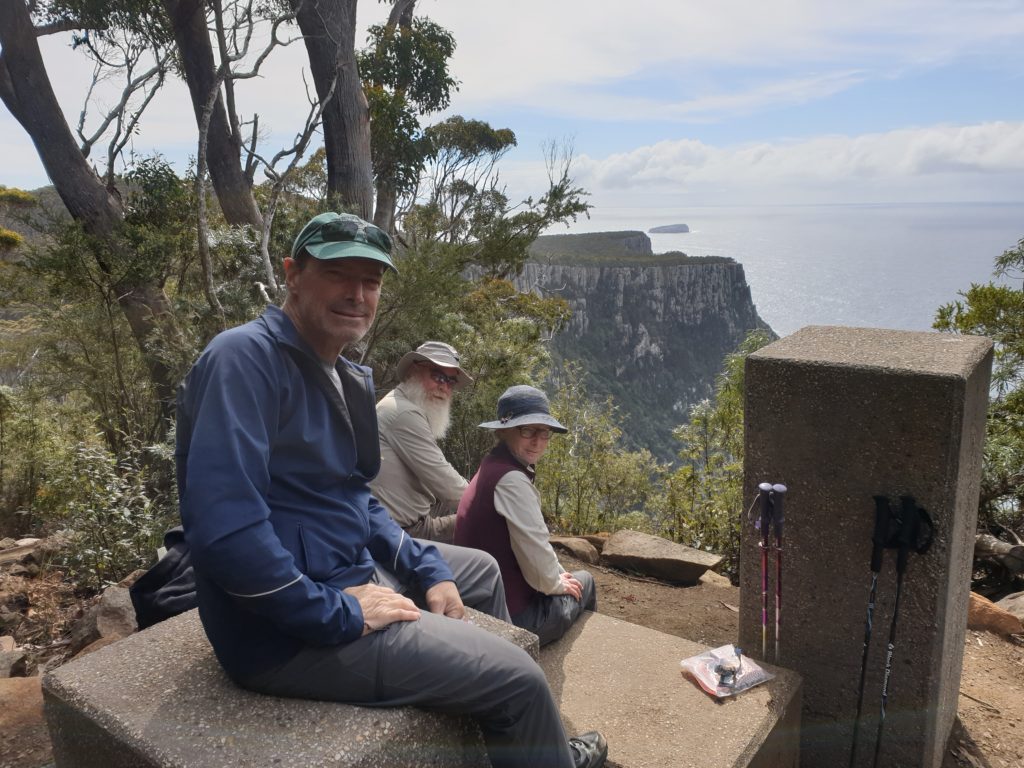
Climbing up and over Mt. Fortescue did require a few breaks, including this one with magnificent views
Cape Hauy sits on a narrow peninsula with the track dropping almost down to sea level before climbing back up again and finishing at the end of the point. From there we enjoyed neck-twisting views of the Totem Pole, a single column of dolerite towering above the ocean, and retraced our steps to our pack.
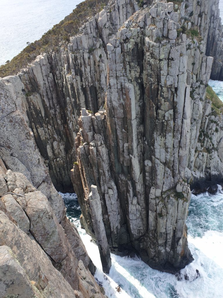
You can spot the famous Totem Pole – a single column rising from the surf – from the tip of Cape Hauy
The final hour towards Fortescue Bay was mostly downhill and we enjoyed the walk along the water’s edge before reaching the bus stop. We had completed the fabulous Three Capes Track, seen a spectacular corner of Tasmania and had a very special and unique experience. For Julie, who is not a backpacker, it was a particularly satisfying accomplishment.
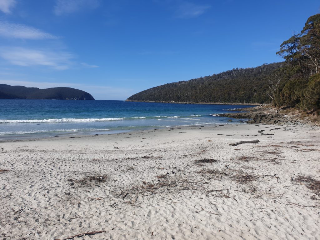
Fortescue Bay looked pretty inviting – especially for Andrew who took a celebratory and cleansing swim before we caught the bus back to Hobart
We spent a couple more days in Hobart with our good friends Len and Saan, spending many hours – and more bottles of wine – catching up with each other and reminiscing about the past. We drove to the top of Mt. Wellington, the 1,200 metre mountain that overlooks Hobart, and drove through the beautiful Huon Valley. It was a great ending to a spectacular week in Tasmania. Julie and I agreed we have to come back and explore more corners of this huge outdoor playground.




Congratulations on completing this awesome walk. Looks like great fun
Hi Margaret, the Three Capes Track was absolutely outstanding, I highly recommend it to you and Col!
Bill
Love the photos and map! Thanks for bringing a bit of Tassie to Brissie
Thanks Tracy. We loved our time in Tassie, especially with family and friends. Bill