Latitude with attitude
Julie and I were sitting in the sunshine having a sandwich at a café in the main square of Tromso. The fjord’s blue waters lapped against the docks nearby, snow-patched mountains surrounded us as background, short-sleeved Norwegians and rugged-up tourists were going about their business on this beautiful blue-sky day. The disconnect in this scene is that we were at 69.39 degrees north latitude, about 350 kilometres (220 miles) above the Arctic Circle. If we were at the same southern latitude we would be smack dab in the middle of the frozen Antarctic continent. Go figure.
Tromso is said to be the northern most city in the world and also hosts the northern most university in the world. With almost 70,000 hearty folks and a rich history in polar exploration and fishing with great museums and a very cool modern church it is worth the detour to explore. And the drive along the string of fjords to get there was magnificent too, by the way. We checked out the sites, including the Polar Museum which celebrates the Norwegians’ extraordinary accomplishments in polar exploration, and soaked in those arctic rays.
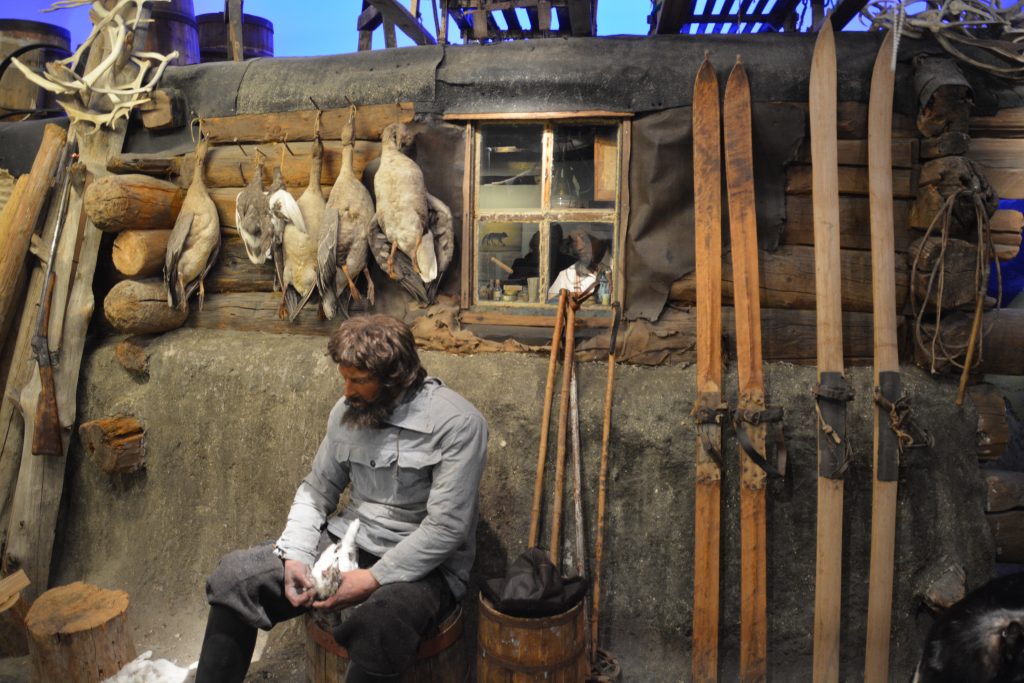
You would look a bit like this if you spent a winter locked in the ice above near the North Pole 100 years ago
But speaking of latitude, our target was the northern most point in Norway, called Nordkapp, and it was still a few days away. So after camping on the shores of Lyngenfjord with the usual spectacular setting before us onward we travelled in a northern direction.
This far north there are very few roads. The Arctic Highway, aka the E6, is the only option for land transportation between northern Norway and the rest of the country. The road hugs the coastline of the fjords but these waterways create other challenges. On one occasion the road had to detour 25 kilometres down one side of a fjord and the same distance back again in order to keep on its northerly trajectory.
The land also became sparser, less trees, more scrub, more rock. Towns became smaller and fewer, even the occasional rural home or barn were few and far between. This was the land of the traditional Sami people, the semi-nomadic people sometimes referred to (incorrectly) as Laplanders who became famous for herding reindeer across these vast northern spaces. The Sami people have lived for thousands of years moving with the seasons across land that is now Norway, Sweden, Finland and Russia. Like many indigenous tribes worldwide, were discriminated against by these countries and have only recently found legitimate and legal footing in the complex modern world.
We stopped at a roadside stall to see the clothing and craft items the local Sami people were selling. They were colourful, warm and unique boots, gloves, hats and the like, probably not idea for Australian weather and at prices for many items in the hundreds of dollars, definitely not in our budget. We also stopped to see some of the Sami traditional homes, domes made with a wood frame but covered in sod, a hole in the top to let the smoke of the warming fire escape. Very cool.
And finally, after a few days of looking, we saw our first herds of reindeer. They were a bit far off and their antlers were only just starting to grow for the mating season in the Autumn months but it was fun to see reindeer in their original habitat. And here’s a fun fact – caribou and reindeer are the same animal, caribou are wild (more common in North America) and reindeer are domesticated (more common in northern Europe).
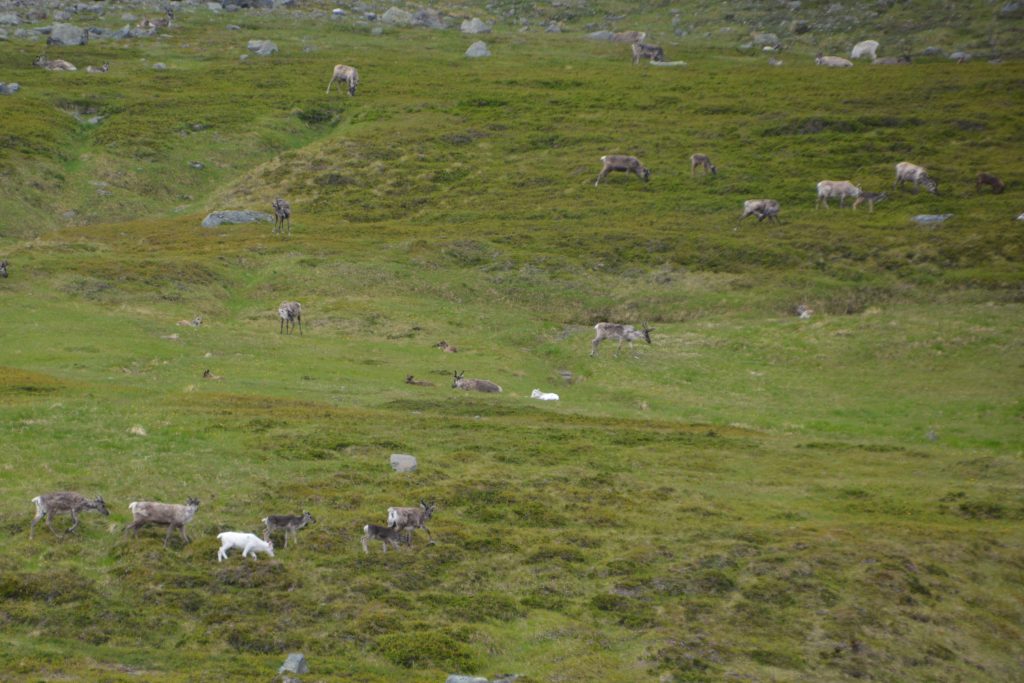
Our first sighting of reindeer, a big far away but we noticed they come in different colours from white to a dark brown
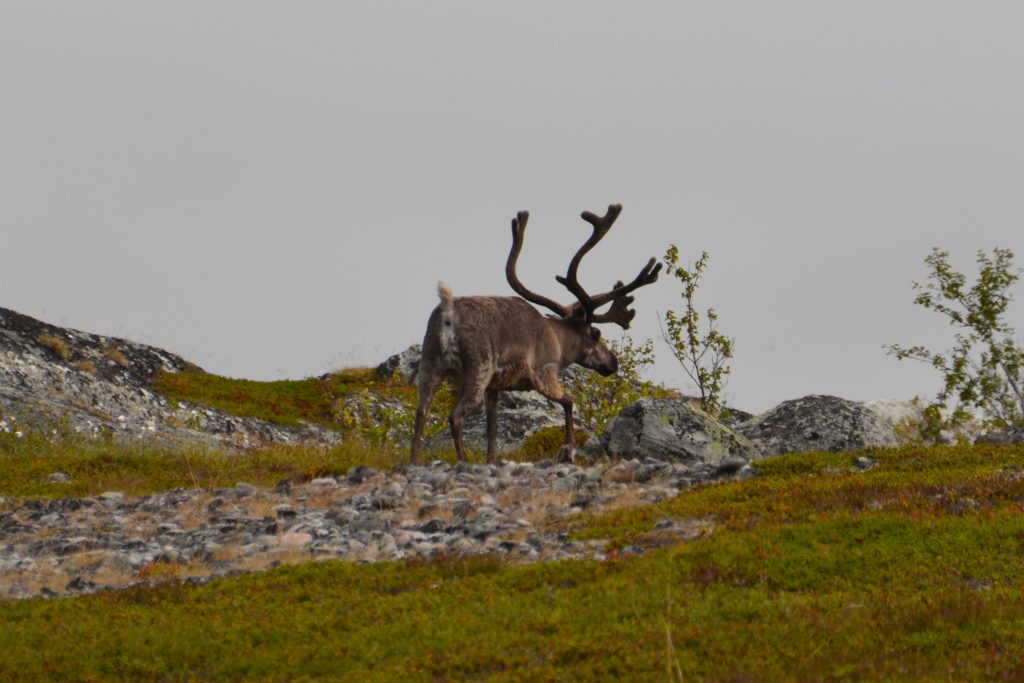
After a while reindeer became fairly common but their beautiful antlers still had their soft fuzzy felt
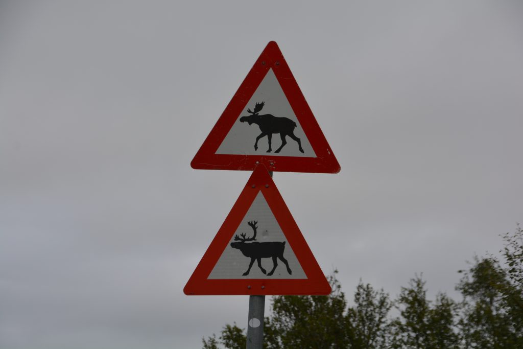
I think this is part of a Norwegian joke – watch out for reindeer and moose. Reindeer for sure, we saw a lot, but we’re quite convinced the only place to find a moose in Norway is on T-shirts and souvenir coffee mugs
Eventually we made the town of Alta, a thriving town of almost 20,000, still a wonder to us that so many people can live so far north, but it was a warmish summer day and we headed straight for what has made the town famous over the last 40 years – the ancient rock art of this land’s original inhabitants.

Now this is cool – rock carvings from some of the original inhabitants of these harsh lands – these particular drawings are probably more than 5,000 years ago
Between 7,000 and 2,000 years ago people lived on these shores, fished and hunted to help them survive the harsh winters and flourish in the short summers. They took to carving figures, objects and scenes in the hard granite rock that was exposed from the last ice age. Today this UNESCO World Heritage site provides a fabulous museum to explain the lives and activities of these ancient people and allows visitors to walk to many sites and see the rock carvings in their original form.
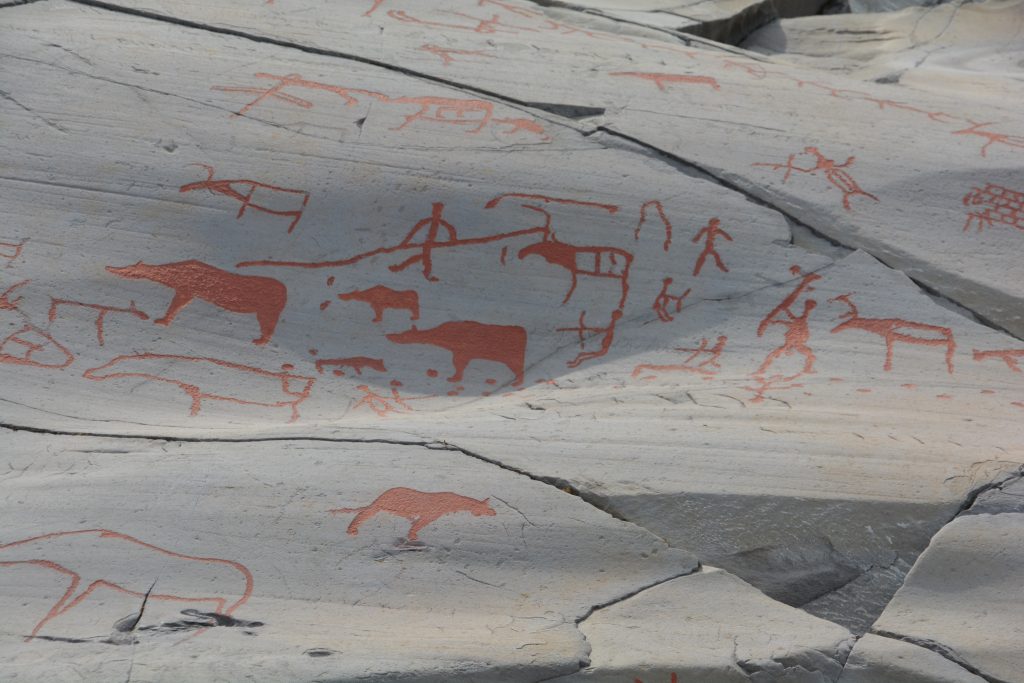
We loved this stuff – imagine living in these northern parts and carving your story in these glacial rocks
Julie and I spent hours at this place, fascinated by what life must have been like here so long ago and amazed at the drawings that were etched in the hard granite for us to see and enjoy after all these years. Really good stuff.
We camped that night in a grove of pine trees near the shores of the nearby fjord, thinking about where we were on the map, enjoying a mild evening around the fire, relishing the day’s events and anticipating those still to come.
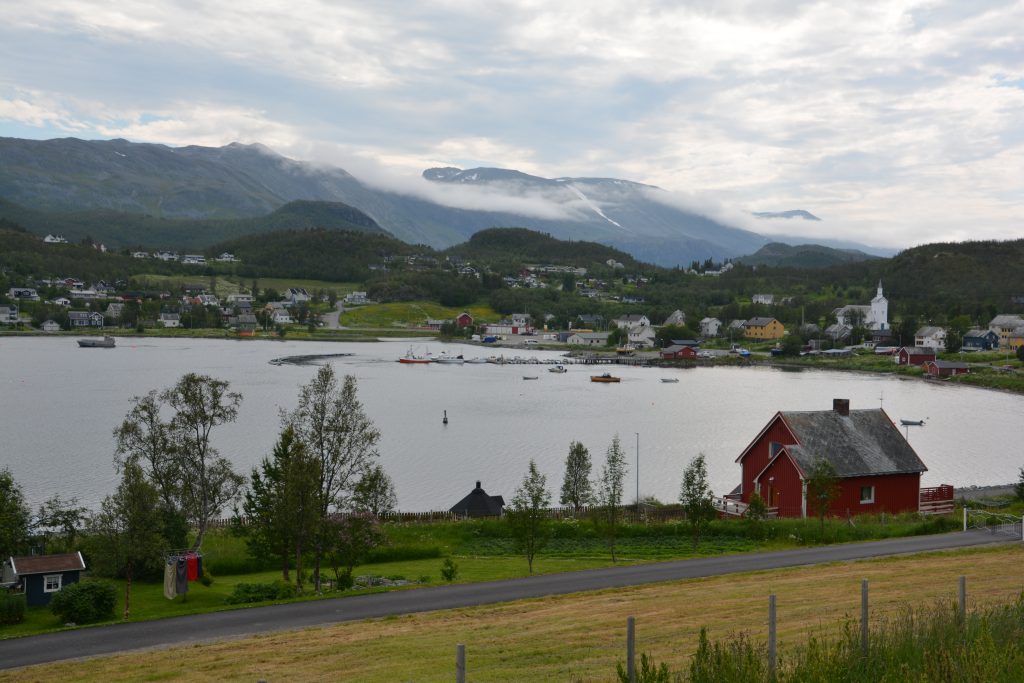
Some of the little villages near Alta were just beautiful – but probably a different story in the middle of winter
Our last day of driving north on this trip started over the low mountains, only a few groves of scraggly trees, reindeer frequently seen grazing on the nearby slopes. There were very few towns to pass through, mostly just small Sami communities or bunches of homes scattered on the hills. It wasn’t uncommon to see a snowmobile or even a sled resting between the winter months.
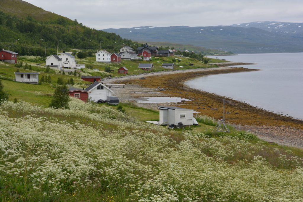
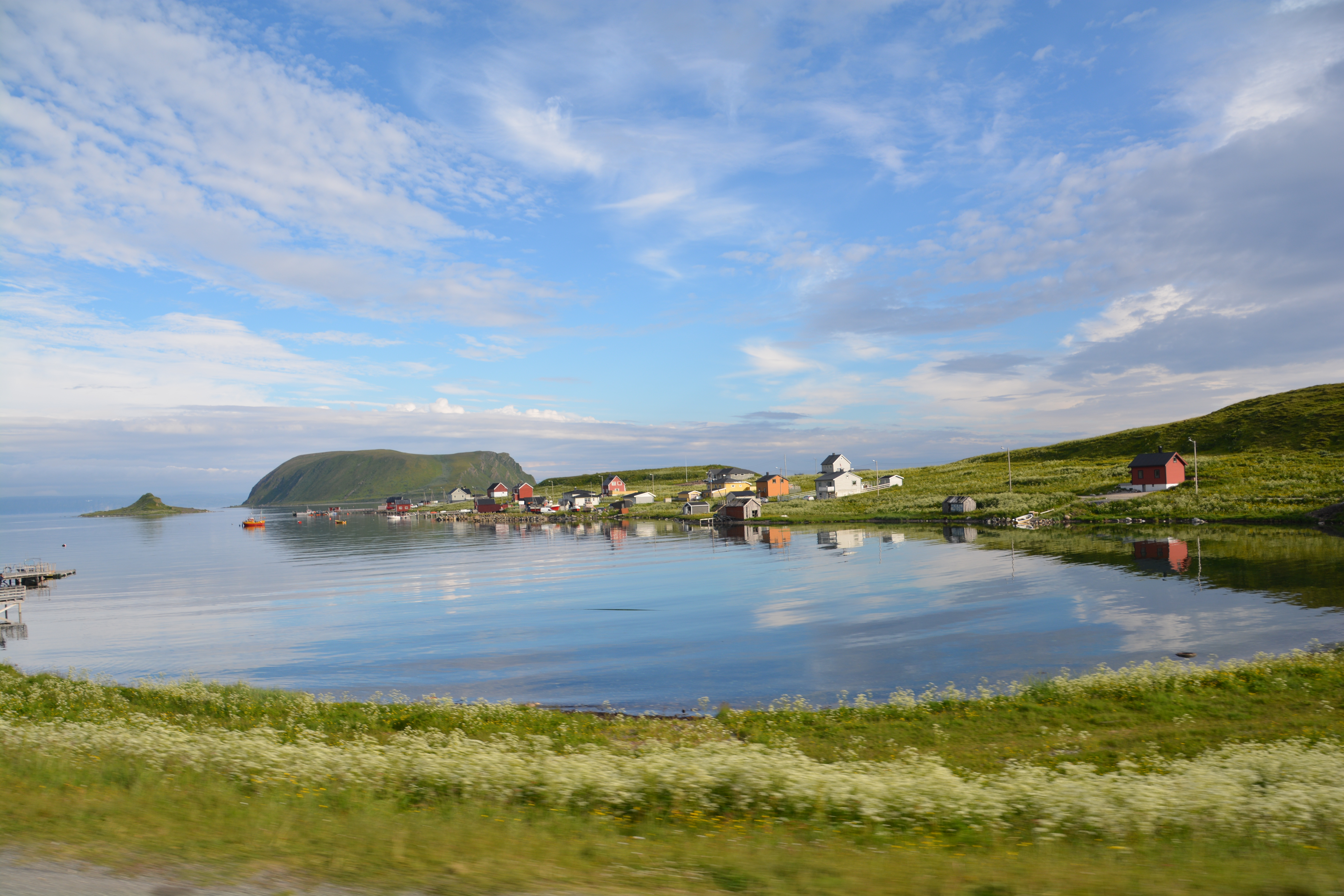
The small communities, sometimes no more than a cluster of modest homes, told the story of where they were on the map and the challenges living here
We followed a fjord and crossed a bridge to the island of Kvaloya, home to the very special town of Hammerfest. Hammerfest, with its population of 10,000 arctic dwellers, lies at 70.40 degrees north latitude, the northernmost town in the world. It has a colourful history as a fishing and trading port, partly due to the warm gulf stream waters that ensure the bay does not freeze over and the snowfall is not too bad. It also has the dubious distinction of being completely obliterated by German bombing near the end of the war and needing to be completely rebuilt. Today it hosts cruise ships and determined road travellers who are prepared to make this long journey.
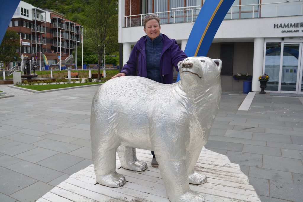
Julie and I enjoyed our exploration of remote Hammerfest – self proclaimed northern most town in the world
Julie and I explored the town on a sleepy Sunday afternoon, enjoying in particular the Polar Bear Museum, which carries intended irony as no polar bears are anywhere close to Hammerfest, but it does provide an excellent snapshot of the history of this frontier town and the people who traded, fished and explored from this base.
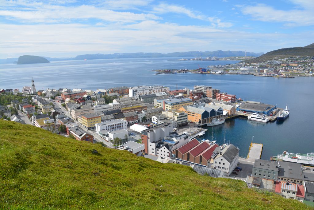
Hammerfest from the top of the hill overlooking the town – uniquely, the harbour does not freeze in winter which has been the key to their relative prosperity
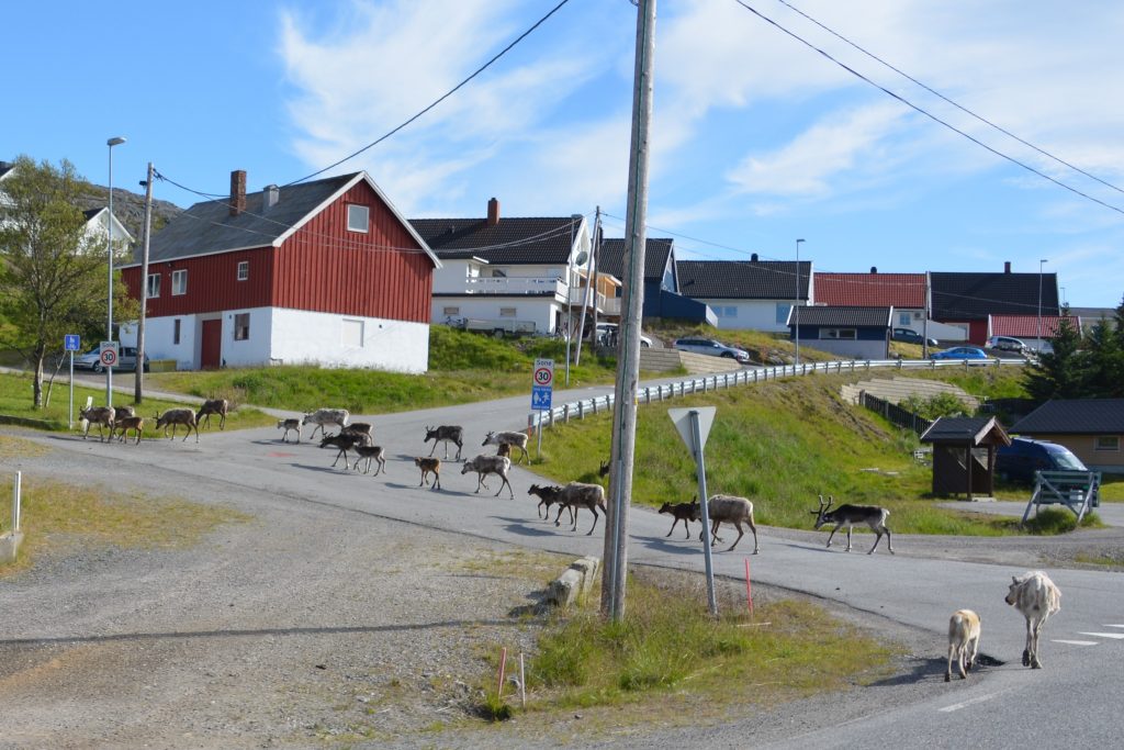
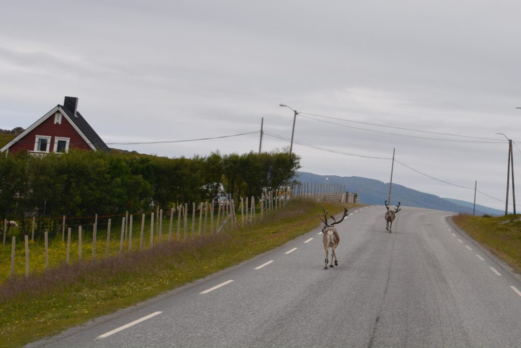
Too many reindeer start losing their cuteness, like when they completely take over the town’s streets and stop traffic
But wait, there’s more. The road wound ever northward, along another fjord, across stunning treeless terrain, up and over the low mountains that make up this rugged and inhospitable coast. The journey included the Nordkapp Tunnel which is one of the longest subsea road tunnels in Norway covering almost seven kilometres and at its lowest level was 212 metres (700 feet) below sea level. It included very steep descents and ascents deep under the sea, quite a disconcerting and disorienting experience. These Norwegians know how to build tunnels…even under the water.
Finally we had arrived at Nordkapp, the most northerly point on the European continent at an astonishing 71.10 degrees north latitude. By comparison, the latitude of Prudhoe Bay Alaska, which we drove to last year and took our shoes off for a wade in the Arctic Ocean, is at ‘only’ 70.25 degrees. And ten years ago on our Antarctic cruise our Russian icebreaker crossed the Antarctic Circle and made it to 66.66 degrees south latitude before turning around due to thickening ice.

The northern-most point on the continent is marked by a cool globe which on a clear day can be seen from quite a distance
We paid our outrageous entrance fee and then walked along the edge of the cliff, 307 metres (1000 feet) above the Arctic Ocean. Amazingly, the weather was mild, there was almost no wind and the seas were glassy flat. It was about 7.15pm and the sun was still high in the sky, adding to this surreal experience.
We took our photos at the large globe that marks the spot before exploring the museum, hitting the gift shop, seeing the documentary movie and having dinner before returning to the cliff’s edge again at midnight. The clouds had moved in but the sun was still obviously above the skyline and about to start its slow arc back into the sky. At this time of year at Nordkapp the sun does not set at all for about ten weeks and it stays light for a full four months. Crazy stuff.
During the evening 16 tour buses magically arrived, mostly from the two cruise ships in nearby Honningsvag, and the 60 or 70 RV’s and campers like ourselves who were camping in the huge carpark all descended on the protective rails of the cliffline to witness the midnight sun. There was almost a party atmosphere as probably 600-700 people were celebrating the moment, taking photos, everyone excited and happy to experience this special moment. It was carnival, adventure and wonder all mixed in together.
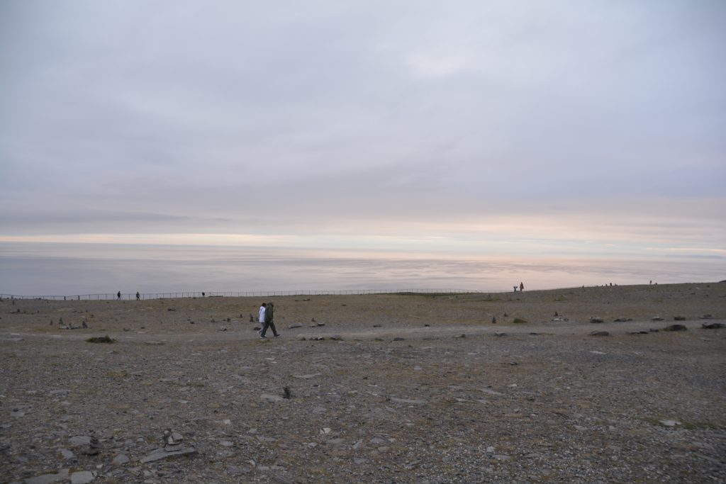
It doesn’t look anything special until you know this photo was taken at about 12.15 at night – the clouds had blocked the sun a bit but it was still daylight
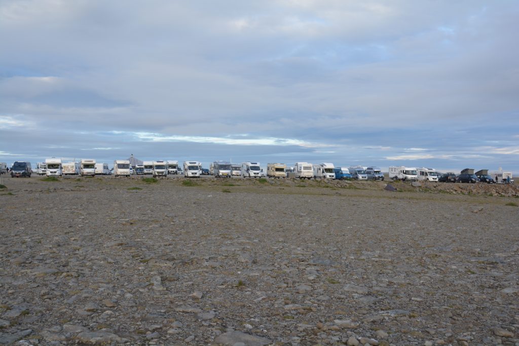
One row of the parking lot full of campers and overlanders who had descended on Nordkapp for a night in this special place
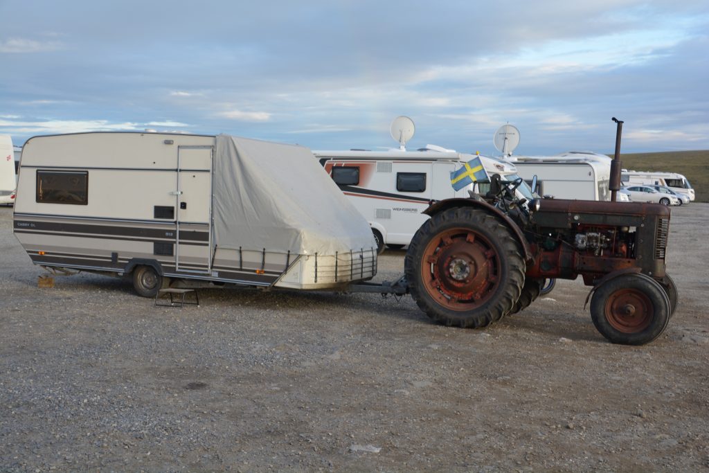
Some people went to more trouble than us to get here – how about this guy who used his old tractor to pull his caravan!
This milestone moment at Nordkapp ended a key goal of our European leg of Follow the Sun. From here the only way to go is south and we planned to now turn around and make our way – slowly – to Spain. And while we’re there we might as well hit the southernmost point of the European continent. But that’s a long way away and there’s much more to see and do between now and then.




Wow…you are covering so many miles, and experiencing so many variations on what we call our everyday lives. As you say, how do they manage the changing seasons…don’t think I could. The endless daylight hours would be hard enough, but when the darkness comes around, I think would be harder on the mind and soul …… maybe they should all follow your lead towards the sun. These are countries I would love to visit, so have now added to my bucket list the towns you are visiting. I think my list is now longer than the good years I have left to travel !! Stay safe, have fun and keep smiling.
Lots of love xoxoxo
Hi Anne, thanks for the lovely thoughts. If you come back to Europe try to get up to Norway – but only in the summer months! I agree, the dark winter months would be hard on softies like us – just goes to show how tough these northerners are!
Take care, Bill