The Arctic Highway
By some reckoning the Arctic Highway in Norway, also known as the E6, runs from Trondheim in the central region of the country for about 2,000 kilometres to the Russian border at Kirkenes. Spending most of its time high above the Arctic Circle across remote and sometimes inhospitable land it is an engineering feat, an economic necessity and a traveller’s dream. After exploring the magnificent Norwegian Fjords in the south our plan now was to drive to the northern most point in Europe – and the Arctic Highway would take us there. But more on that in a moment.

A close look at the map of the fjords of southern Norway show how extremely difficult – and spectacular – driving around can be
But what we’ve learned already is the Norwegian fjords just keep giving and giving….and giving. We ended our time amongst the most famous fjords on the Geiranger-Trollstigen scenic road with a stop at the viewpoint overlooking the 320 metre (1,050 feet) vertical drop of the Stigfossen waterfall and gazing down at the deep valley below. It was another reminder, as if we needed one, that when it comes to non-stop scenic beauty Norway has no peer.
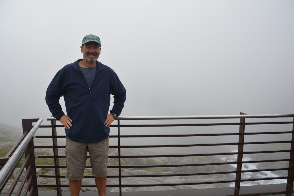
Okay, maybe I was a little under-dressed for this near-zero overlook of the cloud-shrouded Stigfossen waterfall
With our brains a bit mush over beautiful scenery we headed for a ‘normal beauty’ drive north of the town of Andalsnes, hugging the shores of fjords, passing through small towns, using a series of ferries, bridges and tunnels – including one tunnel that went under the water – I guess because its cheaper for the Norwegians to build tunnels than bridges – to make our way north to the thriving city of Trondheim. With all these amazing steep switchback roads, long winding tunnels and amazing bridges the Norwegians definitely know how to build roads.
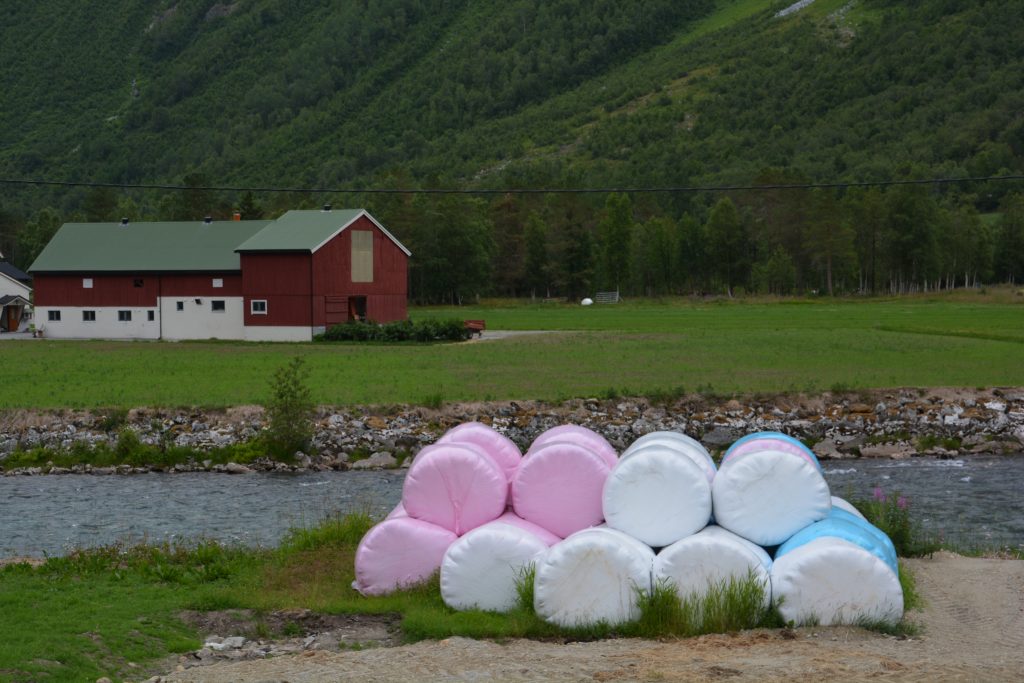
The plastic-covered rolls of hay looked like colourful marshmallows – we never figured out why they use different colours of plastic
Our old Coleman cooker – stove – from the US is not compatible with European connections so sadly we had to give it up
Trondheim is Norway’s third largest city, a major seaport and the country’s first capital. Today it sits comfortably amongst the fjords and bays of central Norway on the banks of the Nidelva River. But before checking out this historic city there was another issue to deal with. We have had an ongoing problem with our cooker (stove), which originally hailed from the US. It had become old and battered plus it wasn’t compatible with European gas connections. We’ve been searching high and low for a suitable replacement but alas, to no avail. As it happens, when it comes to cooking in camp (as opposed to in the RV) the Europeans do things differently. Anyway, we found a (barely) suitable temporary replacement that will get us back to central Europe where we hope to get something better.
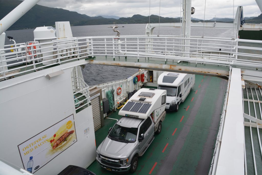
We had another couple of ferries to use on our way to Trondheim. Ferries are fun but because Tramp is over 6 metres long they are also expensive
Trondheim was a real treat to explore. We checked out the very impressive gothic cathedral (the northernmost in the world!), a couple of well-preserved palaces and the delightful downtown area with 200 year old buildings, walking streets, great shopping and the occasional historic walking bridge. Our highlight was the Kristiansten Fortress on the top of the hill, protecting the city and the site of numerous historical events. We’ve now been to Norway’s three largest cities – Oslo, Bergen and Trondheim – and found all of them absolutely first class to visit.
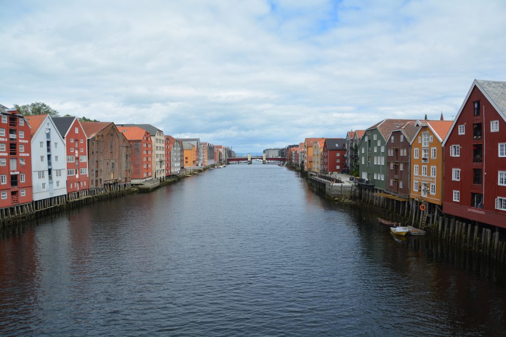
The old timber warehouses along the riverfront have been well-preserved and still in use today as accommodation, galleries, restaurants and all sorts of stuff
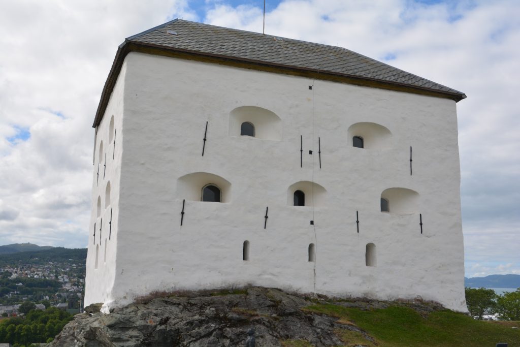
The Kristianson Fortress overlooking Trondheim was the scene of famous battles as Norway defended itself from invading Sweden
But the Arctic Highway beckoned. We headed north along the E6 which will be our home for the next week or so, through beautiful green fields of grain, past endless red barns and farm houses, around lakes and fjords and across rivers like there was no tomorrow. Even an average road in Norway rocks. We camped that night on a forest road off the highway, nestled in amongst the spruce and birch, accosted by swarming bugs, the evening sun (sunset is after 11.30pm) glinting through the trees.

We were quietly camped amongst the trees when at about midnight two cars filled with six young American river kayakers arrived. We talked to them in the morning and one of the guys recognised Tramp – he had read our blog about our travels in South America. Small world!
Norway is a big country and the roads are generally good but narrow and winding. Maximum speed is 90kph (55mph) but many long sections are 70kph (42mph). And we’re in no hurry – even though there are no stunning fjords to goggle at in central Norway the scenery is still fantastic and we stop for photos, hit every scenic viewpoint and often explore the small towns that line the waterways. One such place we enjoyed a little wander in was the (slightly) historic town of Mosjoen which had done a great job of retaining its old wooden buildings along the fjord’s shore.
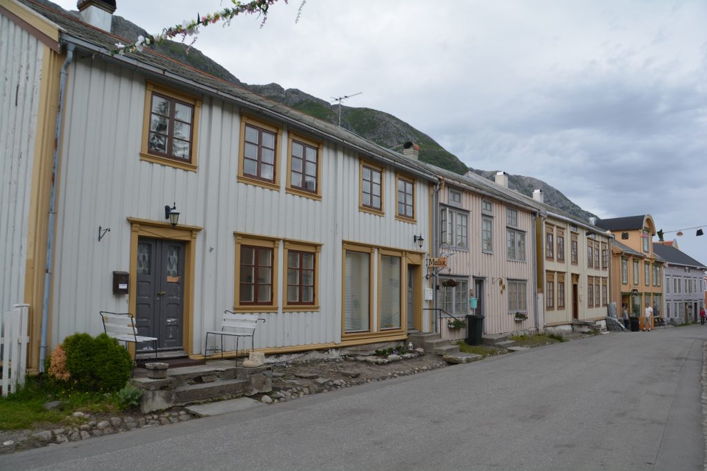
The old historic town of Mosjoen had some fascinating timber buildings and was beautifully positioned on the fjord
We also enjoyed seeing more of the high-latitude scenery that we became so accustomed to in Canada and Alaska last year. Spruce, fir and birch trees covered the gentle valleys and clear cold streams connected the mountain lakes. We both caught ourselves looking for moose or bears in the grassy meadows or near the edges of the lakes.
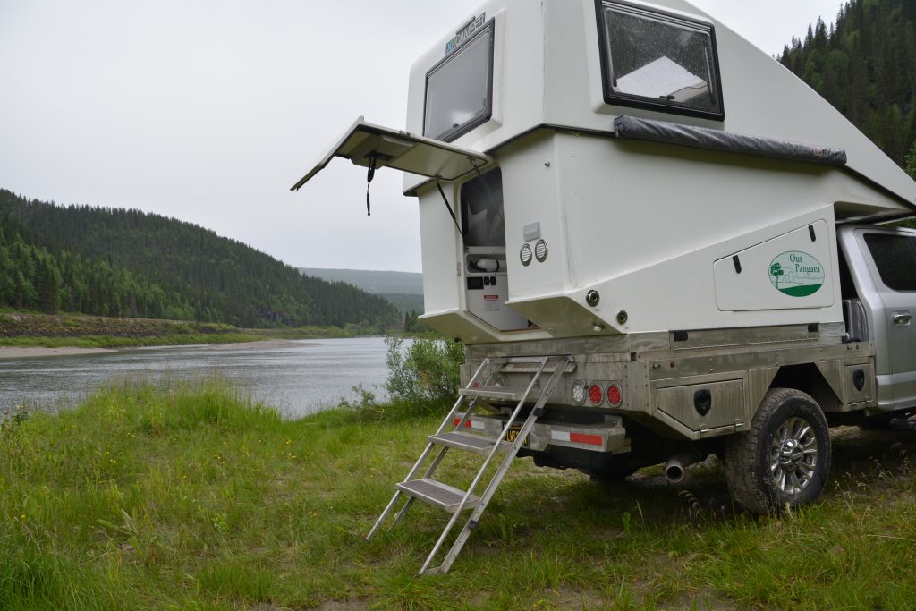
With only a little imagination we thought we might be in the Yukon or Alaska – and looking for moose and bears
Under these relaxed but steady conditions a big day for us is about 200 miles or 300 kilometres. Which is how we ended up camping on the sandy banks of the gently flowing Rana River just north of the town Mo I Rana and just south of the Arctic Circle. The afternoon had featured drizzle and rain and we were hoping for better weather the next day.
But the concept of ‘day’ and ‘night’ gets blurred at these latitudes. For our night in Mo I Rana sunset was at 12.21am (we slept through the midnight sun!) and sunrise was at 01.55am meaning ‘night’ only lasted about an hour and a half, but in reality it stayed light-ish all night. After our time in Alaska last year we perfected the art of daylight sleeping in Tramp by blacking out all light sources but it has definitely blurred our concept of day and night, light and dark.
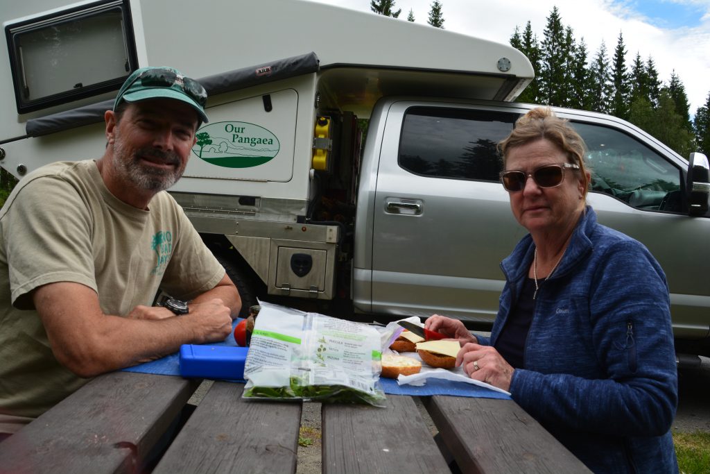
We’ve had fun documenting our lunch spots – some of them have been terrible, others have beautiful views, still others include roadside picnic tables – the range and variety has been a highlight
The next morning we had great fun in crossing the Arctic Circle, that dotted line on the map that shows the southernmost point the sun stays above the horizon all night on the summer’s solstice. It was a fitting setting, cold, grey and drizzly, treeless land covered in granite and tundra, large patches of snow not far away.
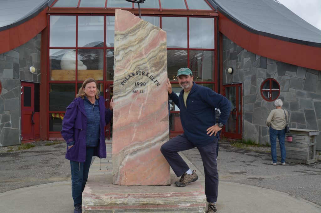
Crossing the Arctic Circle was good fun – it’s only a line on the map but is still a milestone in our journey northward
We posed for photos and reminisced that this is in fact the third time we had crossed the Arctic Circle on this trip – the first time was on our epic journey up the Dempster Highway in the Yukon, Canada to the northern town of Inuvik and the second was on the long equally-epic drive up the Dalton Highway to Prudhoe Bay, the northernmost point in Alaska. (And if you’ll allow a little more bragging, we also crossed the Antarctic Circle on our Antarctic cruise ten years ago. Not many people can claim both circles!)
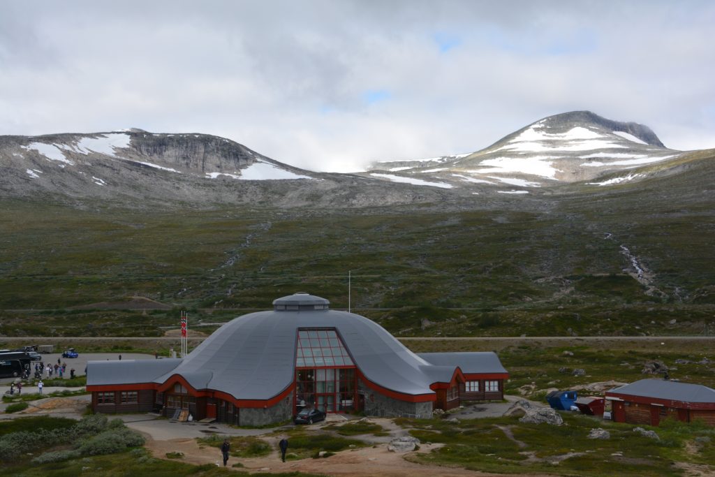
The impressive building marking the Arctic Circle – with a bit of arctic weather still looming in the background
One of the key features of Norway that we wanted to see was the Lofoton Islands, a string of inter-connected islands that point south-westerly from the northern Norwegian coast. The road (and bridges) that runs through the islands is about 340 kilometres (210 miles) long from the mainland. To avoid having to drive down the islands and then turn around and drive back we opted for a ferry from the fishing and trade port of Bodo over to the town of Moskenes which sits at the southern tip of the islands.
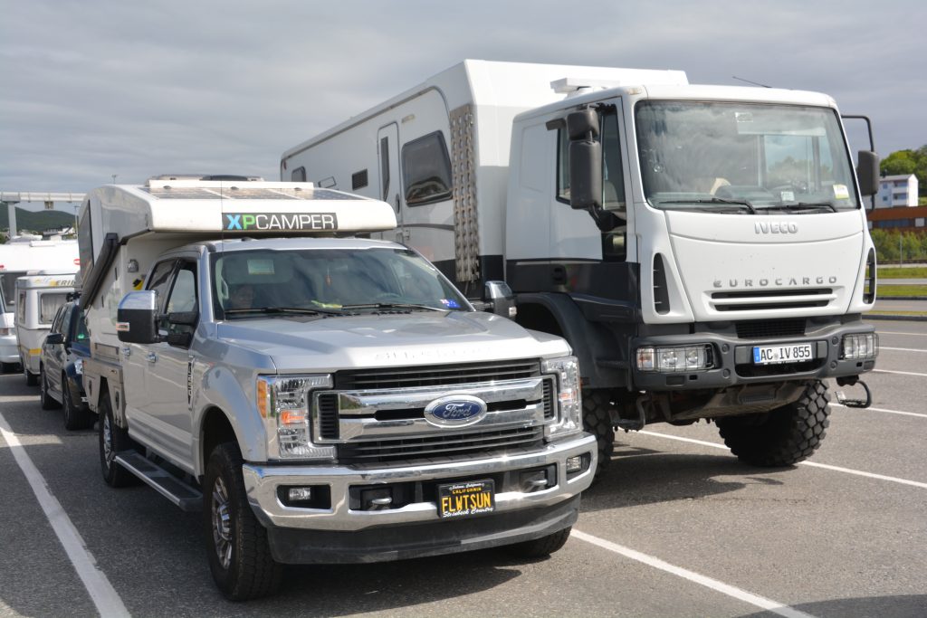
Tramp usually casts a long shadow but he was no match for this monster overlander vehicle – from Germany of course
The four hour ferry’s final moments were spectacular as the jagged and imposing skyline of the most southern of the four large islands that make up this chain came into view. We were completely blown away by these dramatic mountains shooting hundreds of metres straight up from the water. We camped near the town at a campground carved out of what little flattish ground remained between the mountains and the sea, dramatic views all around us, the icy cold wind reminding us that even though we are in the middle of summer we are also on an island above the Arctic Circle. And sunset was at 00.40 while sunrise was at 1.00. Yes, for 20 minutes the sun was below the horizon.
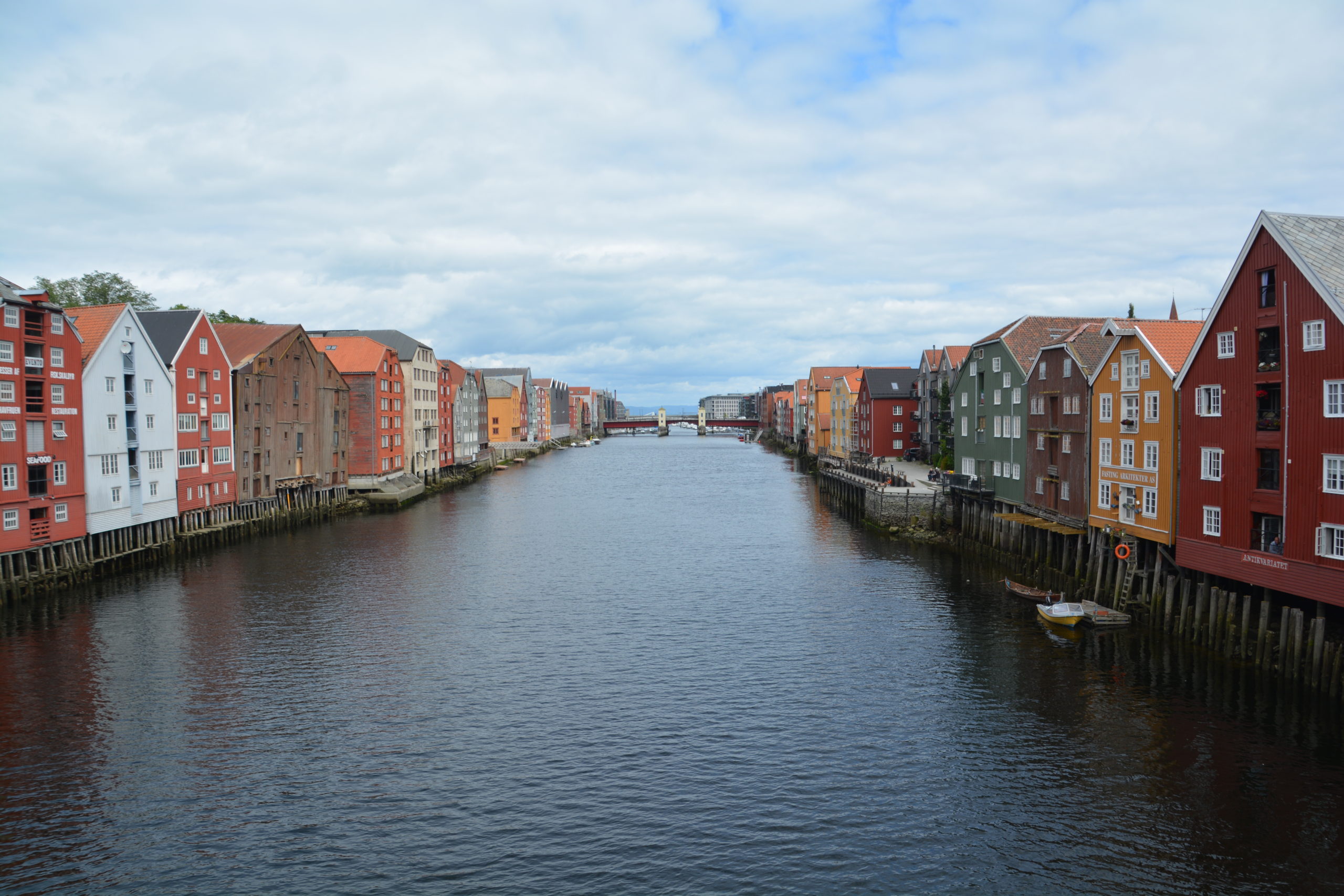


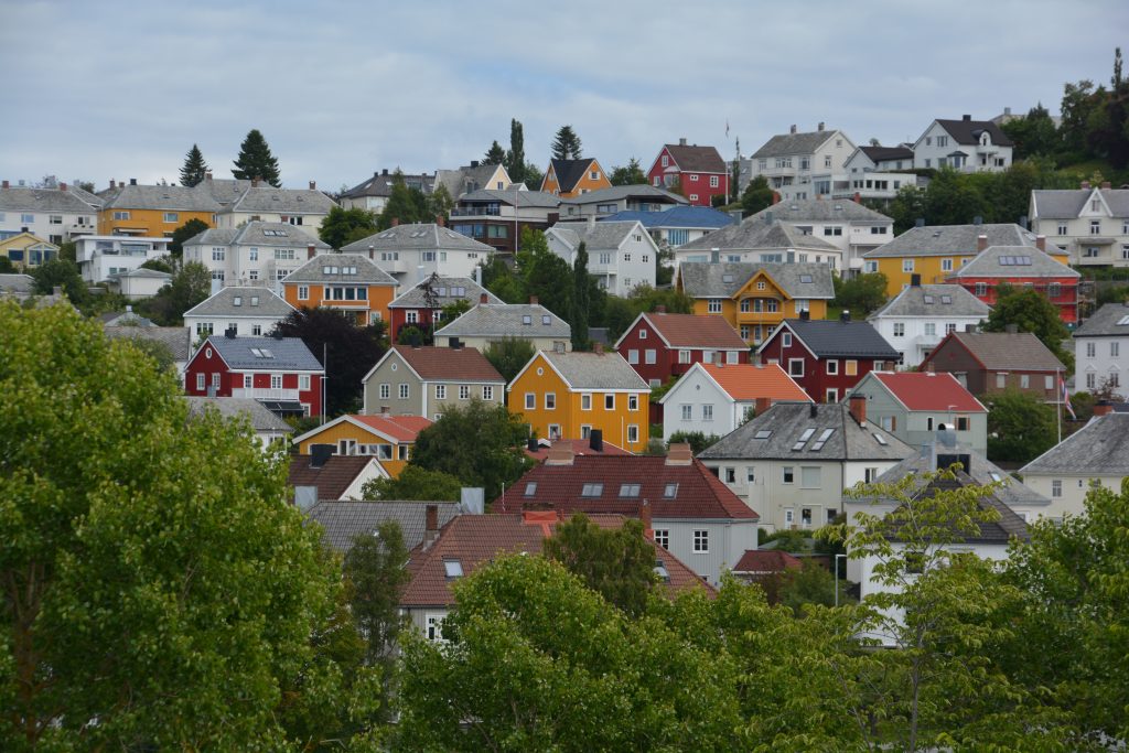


The picture of the Trondheim homes near the fortress would make a great jigsaw puzzle.
If this were FaceBook I’d be “liking” a lot of these beautiful pictures!
Stay safe.
Hi Linda,those homes on the hillside outside of Trondheim were just beautiful – we loved them. Thanks for your kind comments.
Bill