Next stop Quito!
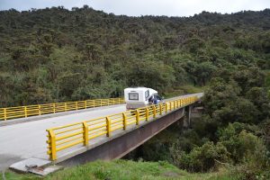
Tramp pauses for some high views and we turn it into a lunch spot in the mountains of southern Colombia
Julie and I booked and paid for a special splurge – five days in the remote Ecuadorian islands of the Galapagos, made famous by Charles Darwin and the island’s huge tortoises. Our challenge, and it was a big one, was to drive through the spectacular but painfully slow mountains of Colombia to the capital of Ecuador, Quito, where our flights were leaving from, whether we’re on them or not. Could we cover the 1,300 miles in only seven days? It seemed tight and relied on some long days but we were up for challenge.
As we were learning, Colombia is a beautiful country but it is extremely mountainous and mountains equals slow winding roads. After an eleven-hour driving day where we averaged about 23 miles (37 km) per hour we knew the combination of mountains and trucks could eat us up. The next day started out equally bad when we covered only 106 miles (170 km) over six hours, only 17 miles an hour. This was made worse by a truck-on-truck accident on one of the thousands of bends in the narrow road which stalled us in one place for an hour, followed by multiple long stops for road construction.
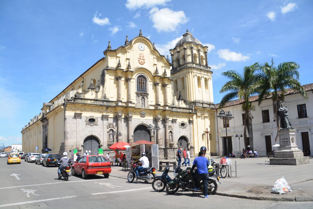
There were other prizes than just the dramatic mountain views – some villages had classic old colonial churches
But there were fabulous rewards, including the high mountains with steep slopes covered in lush green foliage, sometimes quite tropical but also crops of banana and plantain trees planted on the steepest slopes and sugarcane on the lower slopes. We chose to prioritise covering maximum distance rather than stopping for photos but we loved the views. But one thing we couldn’t avoid – the toll booths. Colombia provides terrible roads but they have an expensive user pays system and we paid about 70,000 Colombian Pesos, about $25, each day for the privilege.
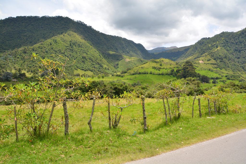
When the terrain flattens out a bit you can see more – note the fence posts that are starting to grow again
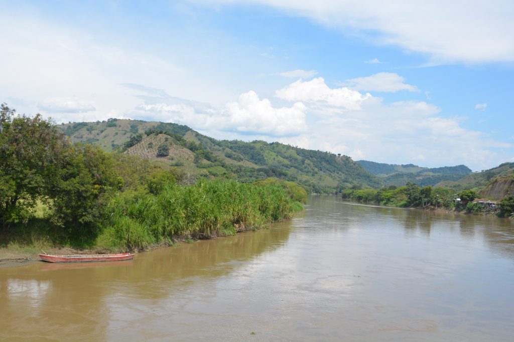
Eventually the road dropped down into a gentle plain and the flat valley widened, covered in tall green sugarcane. The road straightened and progress was much better. We camped that night at another truck stop north of the historic town of Popayan and enjoyed the slightly cooler air. Sadly, there are very few camping options in Colombia – they don’t have a camping culture so there are no camping facilities at all. In Central America we frequently camped in the grounds of hotels or restaurants but those options are harder to find here. So its another night at a gravel truck stop for us, in this case behind an Esso station.
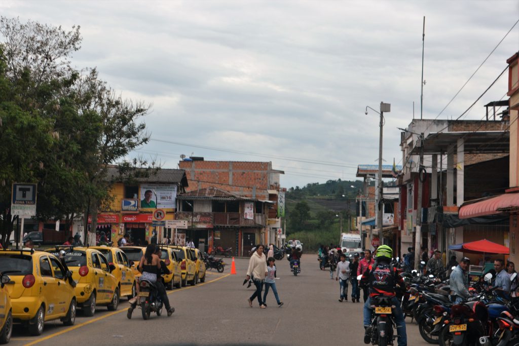
A busy scene in a town of central Colombia – very few privately owned cars, mostly just taxis and motorbikes
We carefully calculated that we had time for one more diversion before leaving Colombia and heading into Ecuador. We stopped in the historic colonial town of Popayan and then headed eastward through Purace National Park and the remote mountain town of San Agustin. San Agustin hosts one of Colombia’s most precious archaeological sites due to its unique – and somewhat unexplained – ceremonial tombstones carved centuries ago. But it was the drive, mountains and opportunity to see another part of Colombia that motivated us on this detour.
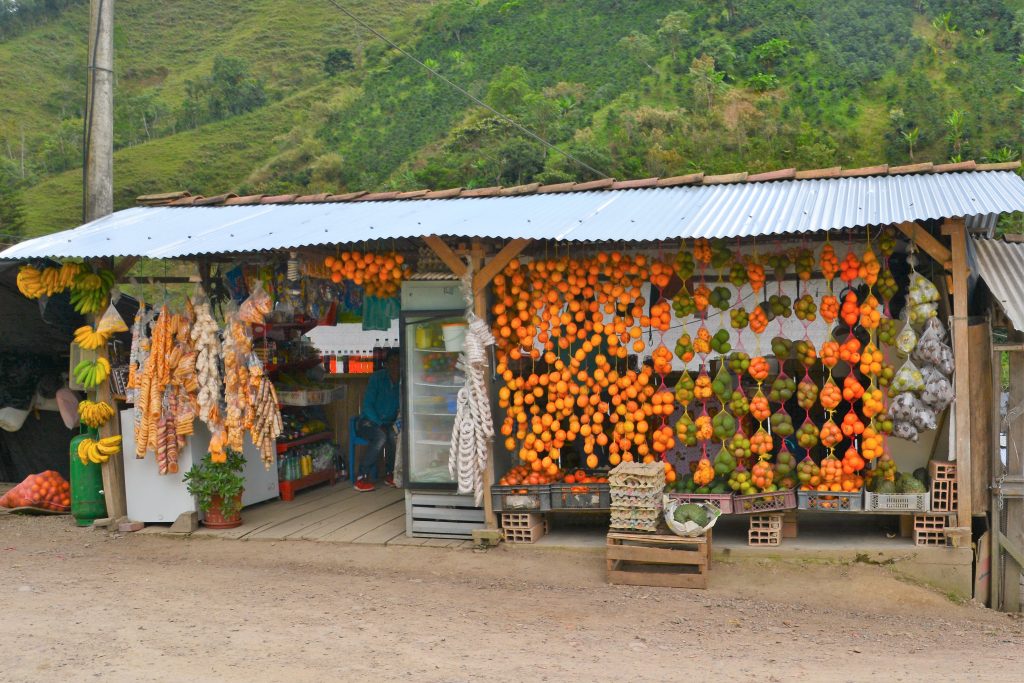
As always, roadside stalls provide colour, local flavour and some fantastic fresh fruits and veggies
Its just as well we were motivated because the road quickly wound its way up the steep mountains, reaching an astonishing height of 3,100 metres (9,600 feet). The temperature dropped, the wind picked up and the views were breathtaking as we passed into the national park. The road turned to a rough pock-holed dirt track, one of the worst we’ve had on this trip, and slowed us down to a crawl. By the time we reached San Agustin and set up camp on the grounds of a small hotel we were jiggled from all the bumps and so were all our belongings inside the camper.
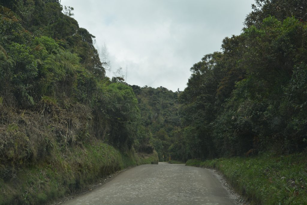
Most of the track was lined with high walls of thick impenetrable bush with very little visibility elsewhere
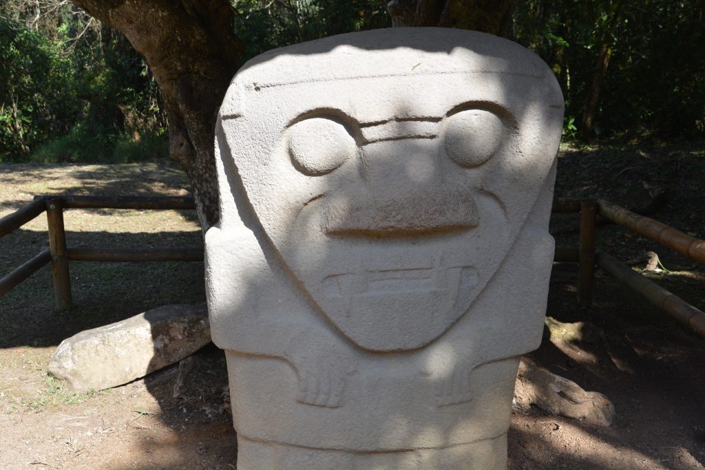
Our target (read: excuse) for this two day diversion into these dramatic mountains was the archaeological park at San Agustin. We arrived at the opening bell and walked through the jungle to the three sites which featured these extraordinary carved tombstones and grave mounds. The carvings, which are in hard volcanic rock, date back to the 1st to 9th century – up to 2,000 years old.
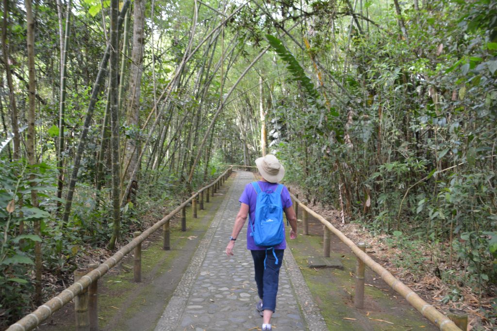
This archaeological site turned out to be a delightful walk in the jungle seeing these ancient ceremonial tombstones
The indigenous people of that time somehow flourished in this unique environment – extremely steep mountains, lush green vegetation, rich soil and unlimited water. Archaeologists don’t agree on all the details but in essence it appears these people built burial mounds, buried their dead in elaborate rock tombs and placed detailed stone-carved tombstones over the graves. It is not clear why or how they did this, the meaning of some of the carvings or why they eventually died out. But they left behind a fascinating tribute to their dead and an everlasting gift from their culture.
Getting out of San Agustin was more challenging than getting in. We followed the winding road out to the town of Pitalito and turned south down a beautiful valley to the large town of Mocoa. From there we headed west back into the steep mountains on one of the most famous roads of South America.
Nicknamed ‘Trampolin de la muerte’, or Springboard of Death, this one lane dirt road is cut into the steep mountain walls and winds its way ever upward following the contours of the mountain. Where the road jags into the mountain to cross a deep watercourse there was usually a waterfall and a water crossing rather than a bridge. Many sections were without guardrails and sometimes only yellow plastic tape on wooden sticks marked the end of the road and the beginning of the abyss.

A snapshot of the Springboard of Death on Google Maps (note the average time works out at about 36 kph)
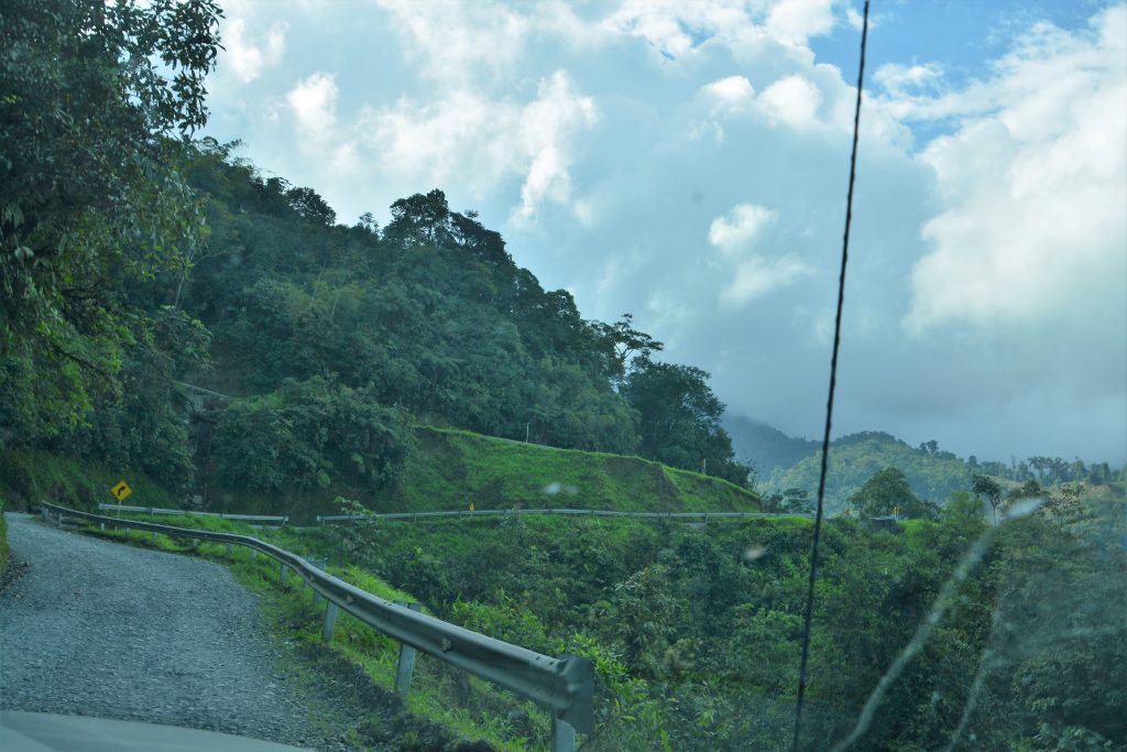
Not a great shot through the wet windscreen but you get the idea – see the road going up after the switchback…you just hoped no one was coming the other way
Washouts, erosions, landslides and rock overhangs were common. Oncoming vehicles, including the occasional truck, were a constant obstacle and on many occasions when we would meet on a narrow one lane track one vehicle would have to carefully back up to make way for the other. At one such passing I had to gently wedge Tramp’s bumper up against an old guardrail to give the other vehicle an extra inch to squeeze by. Julie held on for dear life.
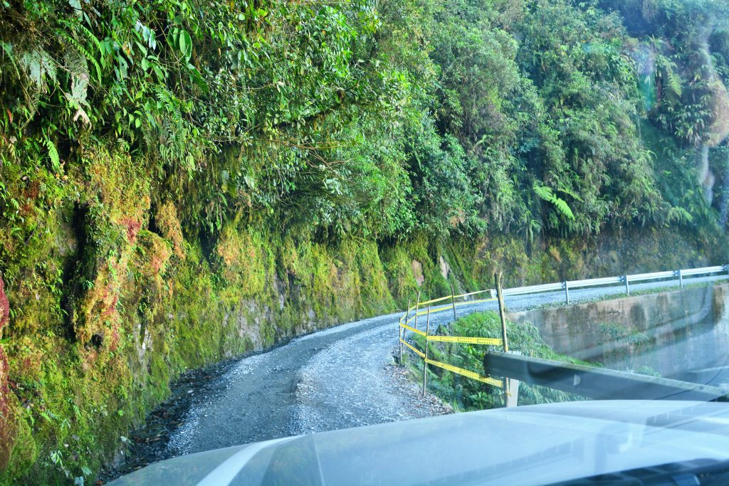
The yellow tape marked the edge of the road where the guardrail had been wiped out or fallen down the cliff
This incredible section of road is only about 80 kilometres (50 miles) long but takes all day to cover. We were running out of daylight at about the half way point but found a rare side track leading up to a communications tower. On a whim we headed up this steep track to the tower and found a very friendly – and probably somewhat lonely – watchman who invited us to camp for the night. What a good idea we said and clinched the deal with a beer.
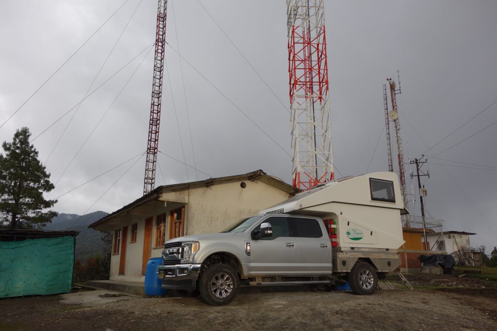
A stroke of luck/genius – we followed this overgrown side track and ended up at this communications tower with a friendly guard and stunning views
The climbing all afternoon had brought us to an amazing 2,820 metres (8,750 feet), only 250 feet short of our highest camping spot on the entire trip (Zapata Falls, Colorado, almost a year ago) and provided us with panoramic views in all directions. Unfortunately the clouds soon moved in and the rain chased us inside for the night. Never mind, Julie whipped up some bangers and mash and we dined like royalty.
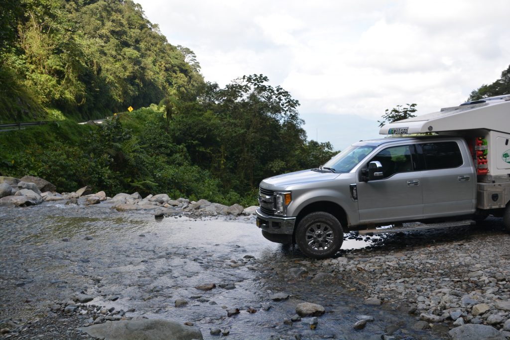
Tramp crosses a little stream coming down the mountain – we crossed this a couple of times as we zig-zagged up
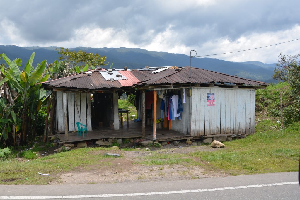
A couple of shots of some of the homes up in the mountains – very basic living in a very remote setting
Our time in Colombia was coming to an end but first we had to get down to the Ecuadorian border which involved more winding roads, passing a large volcanic lake and enjoying the last of the Colombian Andes with their fertile hills, green crops growing on crazy steep mountainsides and lunatic drivers. After 18 days in Colombia I can say we fell in love with Cartagena, regretted not having time to explore the northern parts, had a love/hate relationship with the steep winding roads, were fascinated by the archaeology of San Agustin and were spellbound by the beautiful rugged mountains that run down the country’s spine. Colombia is a special place.
The border crossing from Colombia to Ecuador is usually a straightforward affair and under normal circumstances the whole process would have taken less than an hour. But over the last couple of years the political and economic situation in Venezuela – far to the north of Colombia – has deteriorated to such an extent that people are leaving their homeland and trying to find a better life in countries further south, especially Peru. The border was packed with these Venezuelan refugees, most of them carrying everything they needed in their new homes, looking haggard and forlorn.
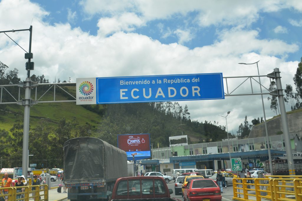
Welcome to Ecuador indeed, especially for the thousands of Venezuelans who are fleeing their messed up country and trying to find a new life
And then there were these two Australian tourists with a flash truck, being allowed to jump the long queue to get stamped out of Colombia and then being rescued from the 4-5 hour Ecuadorian line by a border official. To procedure to get your passport back was for a border official to come out of the building with a stack of passports and call out names while he was practically mobbed until someone claimed their passport. One step in getting the import permit for Tramp was unusual – the customs lady lent me her personal phone to take photos of the truck so she could add them to their records.
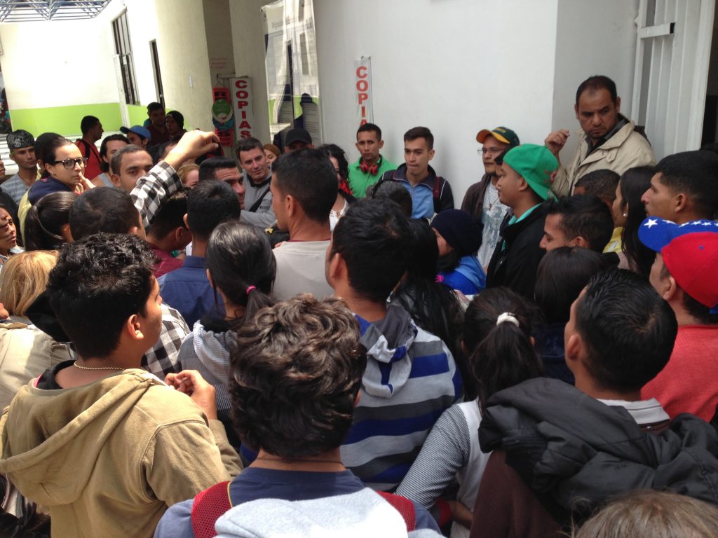
A crowd of Venezuelans at the Ecuadorean border wait for their name to be called out – somewhere in that mass is Julie waiting for our names
After all that chaos we passed through the border in about three hours, our slowest border so far, and left about 1,000 Venezuelan refugees behind as we continued our journey southward. At first pass Ecuador looked similar to Colombia except for two things – Ecuador uses the US dollar as their currency and they have built a fabulous divided four lane road from the border all the way to their capital Quito.
The effect of the new road was profound – we still saw the magnificent mountain scenery, including the beautiful patchwork fields carved into the steep mountainsides, but we did it quickly, safely and relaxed. And when we came to the inevitable road toll booth the cost was always USD1.00 instead of 11,500 Colombian Pesos. And one more difference, we travelled about 1,100 miles in Colombia and had quite a few military checkpoints but they were spread out and very friendly. In Ecuador the first 150 kilometres had four military checkpoints, a very high concentration of checks that slows down the traffic and potentially involves a search.
We camped that night at a place that attracted other overlanders overlooking a lake inside a huge volcanic caldera near the town of Ibarra. It was a pleasant scene surrounded by fellow overlanders who all have their unique vehicles and stories to tell. We saw some amazing rigs, did some chores and even had a fire. At 2,800 metres it gets chilly at night. Good stuff.
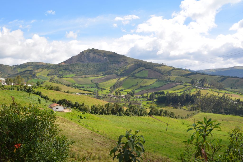
The scenery in northern Ecuador was fabulous – and a bit more open than what we had seen in mountainous Colombia
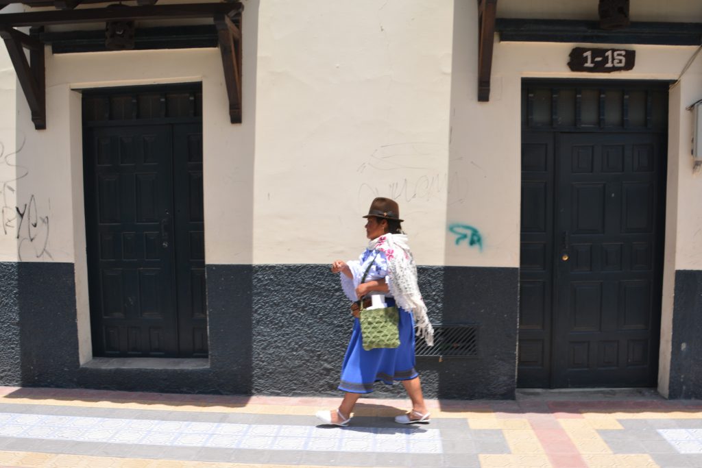
Quito is a city of 2.2 million and the capital of Ecuador. Our flights to the Galapagos left from Quito the next day so we made our way south, stopping at the small town of Otavalu which is steeped in Ecuadorean tradition with its weekend markets and people in their traditional dress. We dropped into their colourful main square market and ended up spreading our money around to a number of vendors.
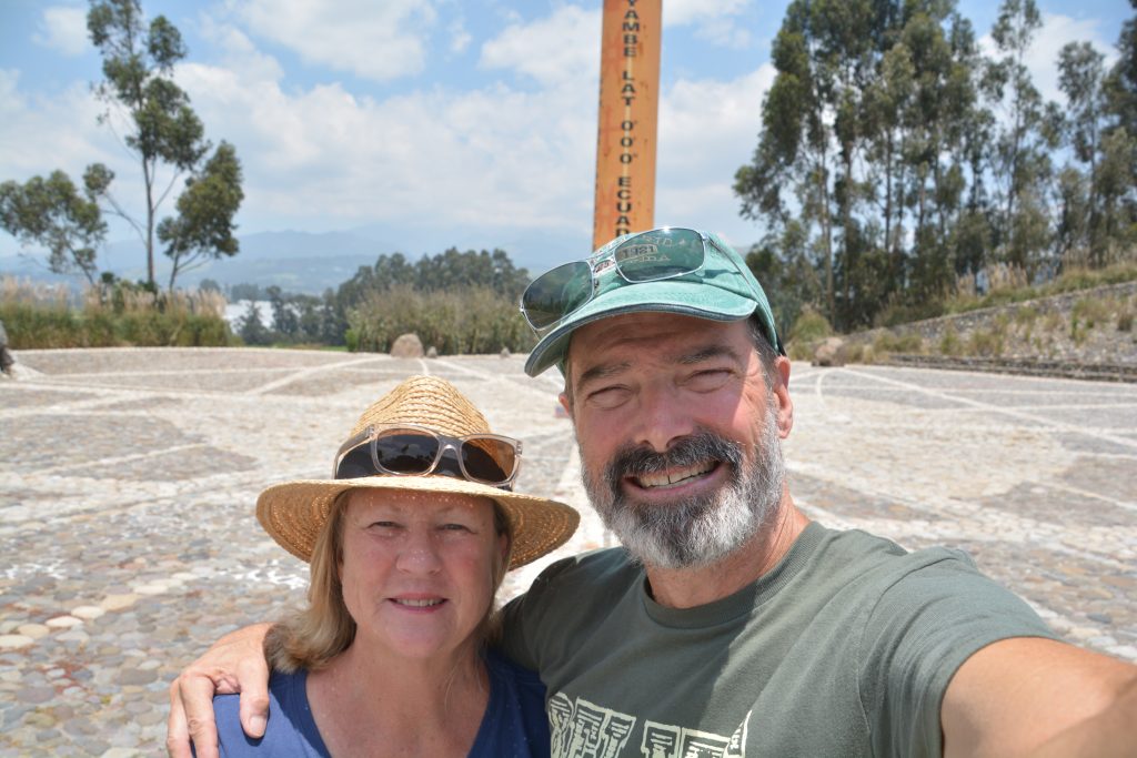
On the last leg to Quito we achieved a goal of all long haul travellers – we crossed the equator! Of course this required us to stop for photos and have a bit of a laugh, after all, its not much more than a line on the map but it’s still kind of cool. Ever since we dipped our feet into the Arctic Ocean at Prudhoe Bay in northern Alaska in early August last year we’ve talked about driving south to the equator and now we’re finally there.
We drove into Quito to have a quick driving tour of Old Quito and then headed out near the airport where we would camp for the night. It was sad to leave Colombia and has been a great introduction to Ecuador but we’re keen for our next adventure – Galapagos!





Comments
Next stop Quito! — No Comments
HTML tags allowed in your comment: <a href="" title=""> <abbr title=""> <acronym title=""> <b> <blockquote cite=""> <cite> <code> <del datetime=""> <em> <i> <q cite=""> <s> <strike> <strong>