Mapping our journey

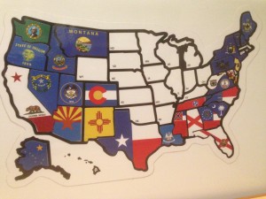
Not all our maps were cutting edge technology – this stick-on version was a gift from our youngest niece
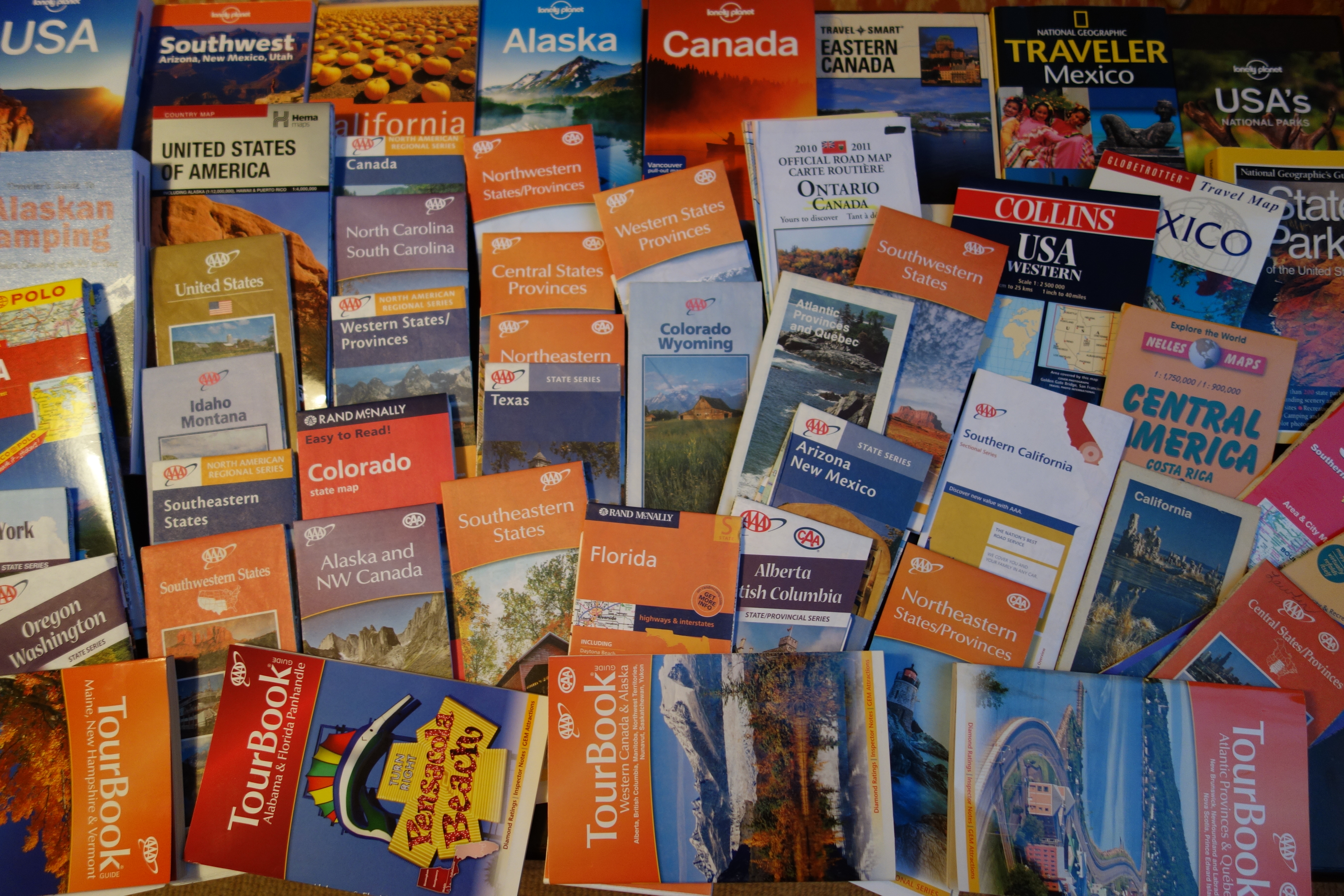
Julie and I have been caught between our old-fashioned love for large fold-out paper maps and the newfangled way of navigating via GPS and talking devices. Both methods of moving from A to B have merit and each has their strengths and weaknesses. We’ve adopted a blended strategy of using legacy maps to plot our bigger, broader and longer-term journey while sometimes using our GPS, which we call Karen, to help us get to specific places. Here’s a quick summary of where we thought we would go on this North American journey and where we actually ended up going.
Way back a couple of eons ago, that would be last February, we roughly mapped out where we thought our North American journey would take us. It looked something like this.
In order to make this happen we did have a couple of broad milestone dates we thought we should try to hit just to help pace ourselves around the continent without getting hopelessly behind schedule and having to miss some sights. This was the rough schedule:
- Enter Canada via Maine on 1 June (completed on schedule)
- Reach Edmonton on 4 July to fly to our nephew’s wedding (completed on schedule)
- Enter Alaska on 1 August, more or less, and spend a month or so up there (completed but we spent more than 7 weeks in Alaska)
- Hit the Mexico border on 30 September and continue our journey in Central America (what a joke, not even close, completely abandoned!)
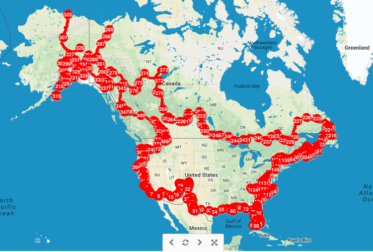
Well, plans are good up to a point and broad/vague/ambiguous plans are even better because that means you can change them whenever you want to. In the spirit of flexibility and unaccountability here’s a map of where our actual travels took us.

Here’s a snapshot of where we actually went – much more in Canada’s maritime provinces and extensively more in the Yukon and Alaska while skipping the US Rockies (not all place markers are overnight spots, many of them were added to ensure accuracy at a detailed level)
If you want to look at the live map of this journey and drill down into more detail you can go to this link:
There were three big factors which impacted our actual itinerary and timeline.
First, we spent almost a month more in Alaska than originally planned, mainly due to our extensive car troubles.
Second, we realised we needed to swing by Grass Valley California to get XPCamper to fix a few things on our camper before heading south, meaning we had to skip the US Rockies (for now).
And third, most importantly, the impending arrival of our first grandchild meant we temporarily abandoned all plans and headed back to Sydney.
Just for fun, here’s a closer look at where we went in Alaska.
My New Year’s resolution, taken a bit early this year and having nothing to do with bad habits, is to keep our maps up to date and post them more frequently so it will be geographically easier to follow where we go. Thanks to Linda and many others for that feedback.
So, what’s our next direction? When we get back on the road, which should be in December, we will start heading south and continue our fabulous Follow the Sun journey. Here’s an extension of our original map which vaguely shows where we might go. But we won’t be held accountable for any variations to this plan because we know there will be many of them!


FYI, according to your map, it looks like there is a chance you will be passing through Arizona enroute to Mexico and South America. We should be in Casa Grande around the middle of December so please get in touch if your travels take take you our direction.
Hi Ken and Helen,
We should be down your way in the second half of December, depending on a few factors related to our truck, and we’ll definitely be in touch with you when we have more definitive timelines.
Cheers,
Bill
Wow. Thank for sharing this with us Bill and Julie. So excited for you both as you continue your journey. I see that France is on the map. Do let us know when you are getting close. Any idea which month this might be?
Bonne continuation!!
Hi Tracy, good to hear from you. We will be in France next northern summer and will definitely give you and Les a ring – it would be great to catch up with you again. Take care, Bill