Barn shy
There’s an old cowboy saying for when a horse knows he’s heading home he’ll single-mindedly do anything to get there as quickly as possible – he is barn shy. Well, leaving Canada meant we were now taking a fairly direct route back to our North American home base in California and we were getting a little barn shy to get there ourselves.
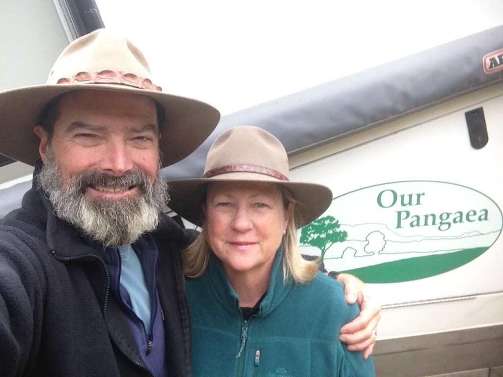
So what’s the hurry? We told our extended family back in Australia before we left we would come home for three things – weddings, funerals or grandchildren, although we did ask them to try to bunch them together to help us save airfares. Well…no one’s getting married and there’s no need for a funeral but…yes, our daughter Anna is having a baby, our first grandchild, and we’re on a mission to be home in plenty of time to enjoy all the special moments that come with a new baby.
With the excitement of being grandparents looming ever larger in our lives and the regular calls with Anna to get all the details about how the manufacturing process is going, (swimmingly well by all measurements) there was sometimes a disconnect between what was happening back at home and our current reality of where we were and what we were doing. Luckily we were being entertained by the splendour of the Rocky Mountains, the changing fall colours, deep glacier-carved lakes and history of every area we visited.
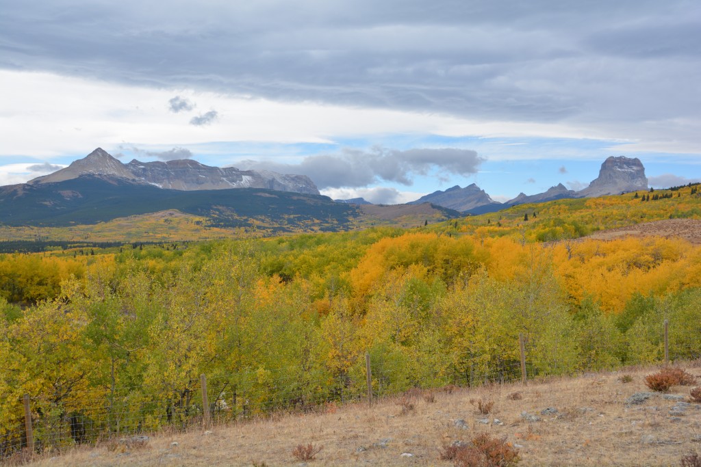
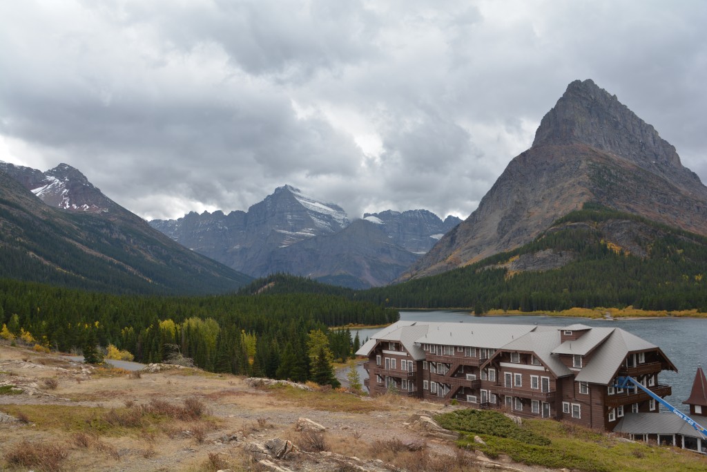
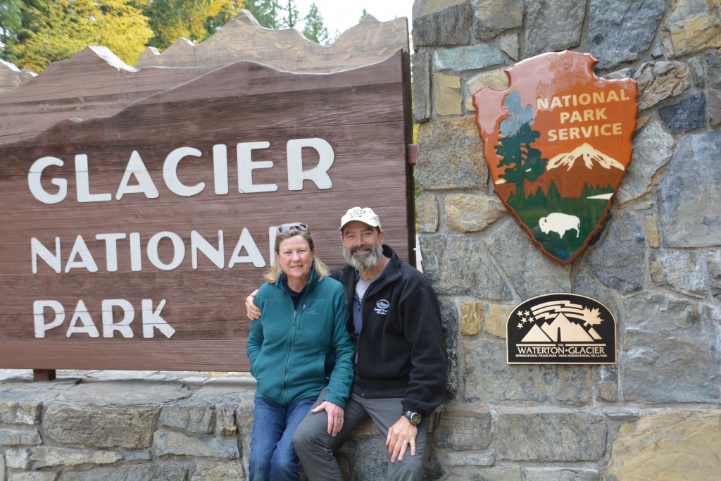
We crossed over into the state of Montana and the US at the Chief Mountain border crossing only a couple of hours before they closed for the winter. Our target was Glacier National Park, considered one of the big boys in American parks, in the same category as Yosemite, Yellowstone and the Grand Canyon. The weather had changed, the dark clouds had come in and the wind was blowing, adding to the atmosphere of seeing this famous park.
Glacier National Park is slightly misnamed, perhaps something like Carved by Glaciers National Park would be better. In 1850 there was said to be more than 125 glaciers in today’s park boundaries, now there are only about 25. Most of the glaciers have retreated up the valleys they carved and disappeared as part of the overall warming of the mountains.
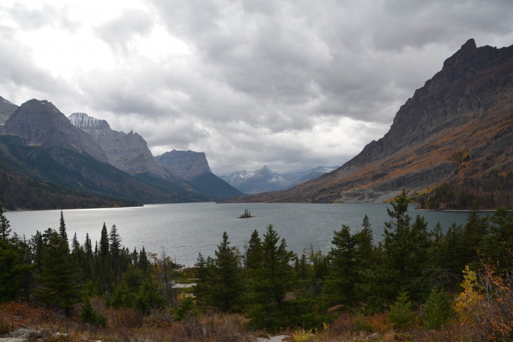
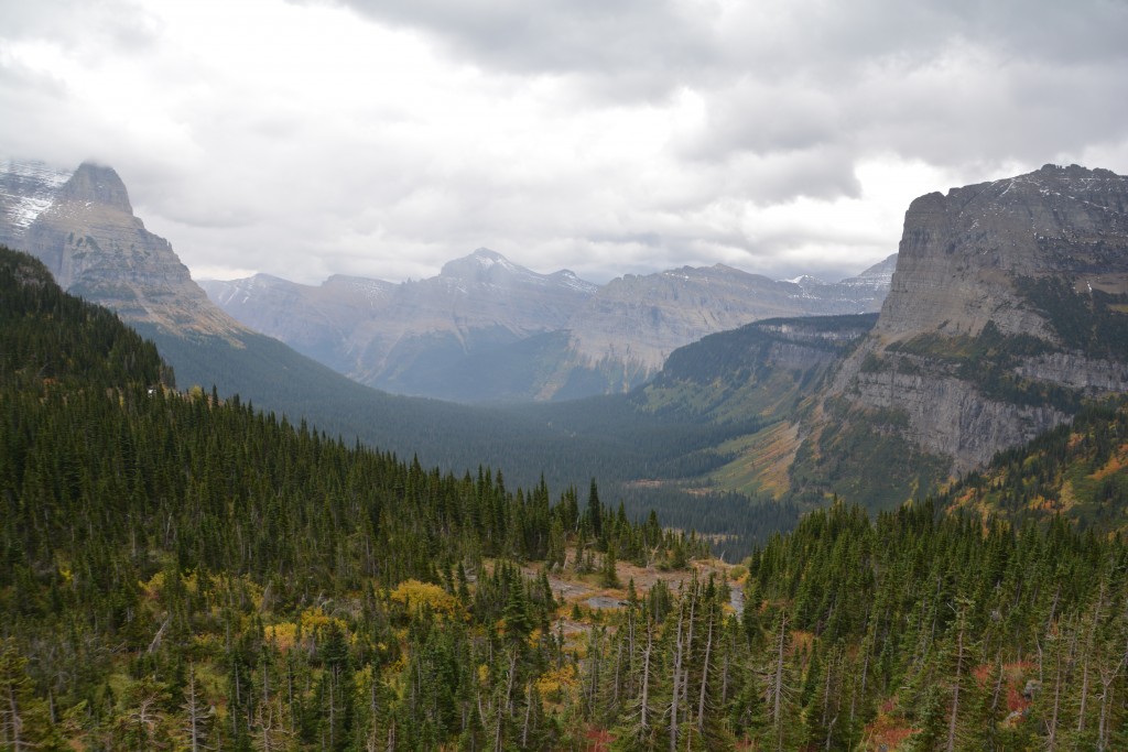
What they’ve left behind, largely the work of four ice ages spanning one million years, is deep bowl-shaped valleys with jagged mountains on all sides, lakes filling the deepest parts and rivers draining the valleys, covered at the lower elevations by pine, aspen and spruce while the high mountain tops glistened in snow, ice and granite.
We explored the eastern entrances of the park, first the road back to an area called Many Glaciers, then along what has been called one of America’s most scenic roads, Going to the Sun Road. This road usually bisects the park but unfortunately part of it was closed as a result of some of the recent fires that more directly impacted Waterton Lakes National Park in Canada.
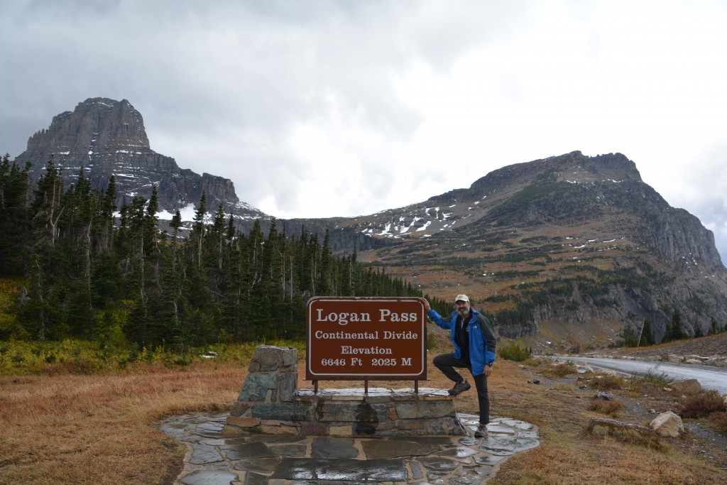
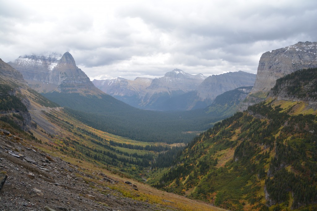
Never mind, we drove up to Logan Pass, marvelling at the mountains all around us. This huge valley certainly had a Yosemite-like feel to it and we gave the camera a workout. At Logan Pass itself we were greeted by a passing hail storm, reminding us what time of year it was and our elevation of over 6,600 feet (2,025 metres).
We jumped out of the park and drove through more low-lying mountains used by local ranchers for grazing cattle. Large healthy black cows loitered by the side of the road, a bit of a contrast to the mountains all around us (it’s a bison, no it’s a bear, no it’s a…cow!). We finished the day camping at a place in the park imaginatively called Two Medicine, cold and blustery as it was.
Montana calls itself ‘Big Sky Country’ and it is indeed a huge piece of real estate. We were exploring only the far north-western corner of the state, a place known for its wide open spaces, large ranches and proudly independent people. We skirted around the national park, dipped back into its boundaries at West Glacier to see Lake McDonald and the fires that had closed the roads still smoking on the opposite mountainsides. Glacier National Park was a profoundly impressive place, our kind of place, and we vowed to come back to explore it in more detail.
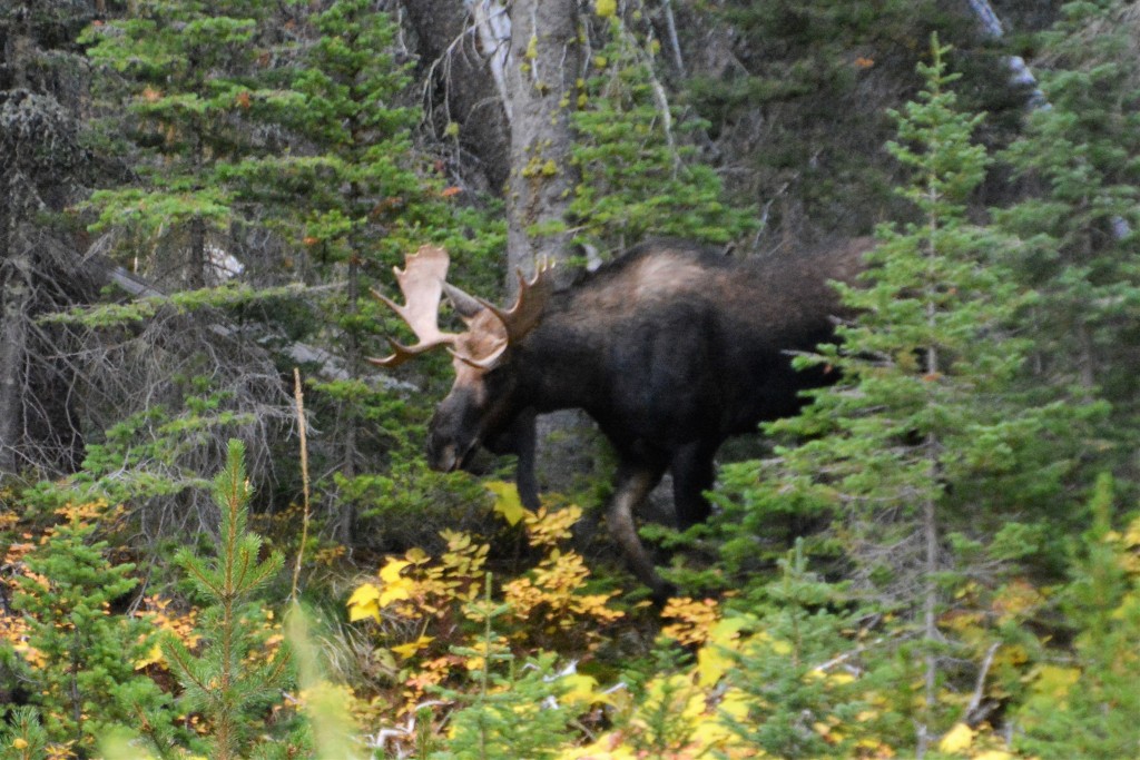
Its rutting season and a big bull moose followed a pretty little female through the trees, all the while bellowing out his best ‘pick me pick me’ moose calls
We pushed westward into Idaho, a low profile state with a slightly odd shape known for, if anything, potatoes. We camped that night in the northern panhandle of the state amongst the firs, larches and pines, another new state and another day closer to being grandparents.
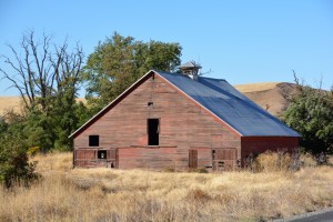
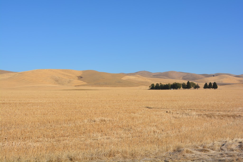
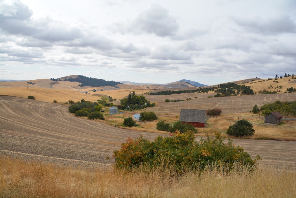
Somewhere near Moscow (still in Idaho!) the next day the trees disappeared and the rolling hills were covered in fields of hay, already cut and rolled or stacked for winter, or grains already harvested and shipped out. This was a different kind of beauty, no soaring mountains or tall trees, just golden brown fields to the horizon tended by dedicated farmers with huge tractors of various shapes, sizes and functions and clusters of grain silos.
We crossed the Snake River into Washington at the twin towns of Lewiston and Clarkston, named after America’s most famous explorers Lewis and Clark who came through here in 1806 as part of their epic journey from the Mississippi to the Pacific Ocean and back again. We followed their historic trail through eastern Washington and camped that night in…yes, Lewis and Clark State Park.
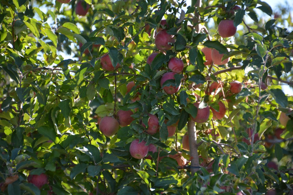
After spending the night around the fire with Ken and Helen, a delightful pair of fellow campers from Tacoma, the next morning we stayed on the trail of Lewis and Clark, through more chamois-coloured brown rolling hills covered in the stubs of a wheat harvest which slowly evolved to crops like corn, orchards and even vineyards as we moved further west. This rich fertile land was fed by the water of the Snake River and farmers were busy preparing their fields for the upcoming winter. The sun was sparkling blue and the we had the feeling we wouldn’t want to be driving anywhere else.
We reached the Cascade Mountains and followed the winding Hwy 12, a scenic byway that followed the old Indian paths over the mountains, passing through thick forests of pine, larch and firs, eventually reaching White Pass at 4,500 feet (1,400 metres). From viewpoints on the other side of the pass we had grand views of Mt. Rainier, a huge volcano rising from the lowland hills that cuts a majestic snow-capped figure from all directions. Covered in glaciers and rising to over 14,000 feet (4,500 metres) Mt. Rainier is probably Washington’s most heralded landmark, high praise in a state packed with endless scenic treasures.
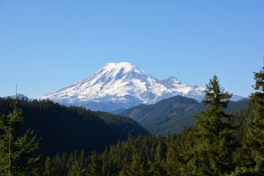
High above all else is Mt. Rainier, one of the most well known mountains of America, sparkling in blue skies the day we drove by
The next day we visited another Washington landmark, this time featuring a more recent and catastrophic event. Most people of our vintage would recognise the words Mt. St. Helens and remember it as an erupting volcano.
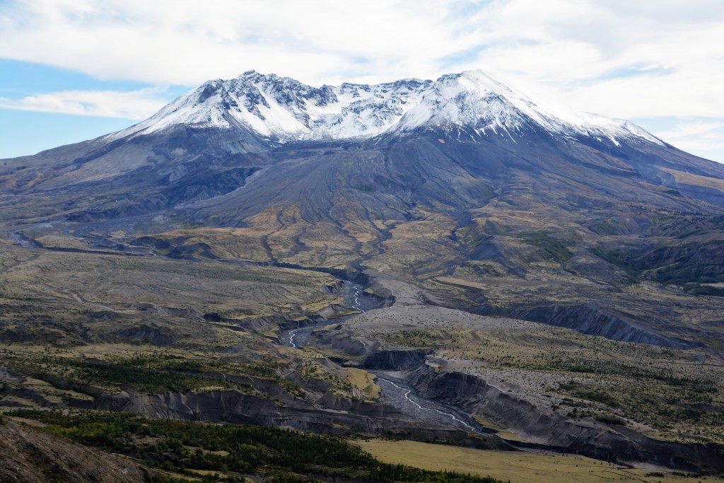
Today Mt. St. Helens rests peacefully in southwestern Washington but in May 1980 it exploded, blowing out the northern part of its mountain top and starting a mud and ash landslide that cascaded down the mountain and into the valley below. The energy and force generated from this incredible event obliterated trees and everything in its ‘blast zone’ for up to 17 miles and covered the surrounding area in a thick layer of mud and ash.
Mt. St. Helens lost 1,300 feet (420 metres) in height, forests disappeared, rivers were dammed, new lakes were formed, and everything in its path, including 57 people, lost their lives. It was one of the largest volcanic explosions in the last 1,000 years and even after all these years the devastation and impact it has had on the mountains is still visible.
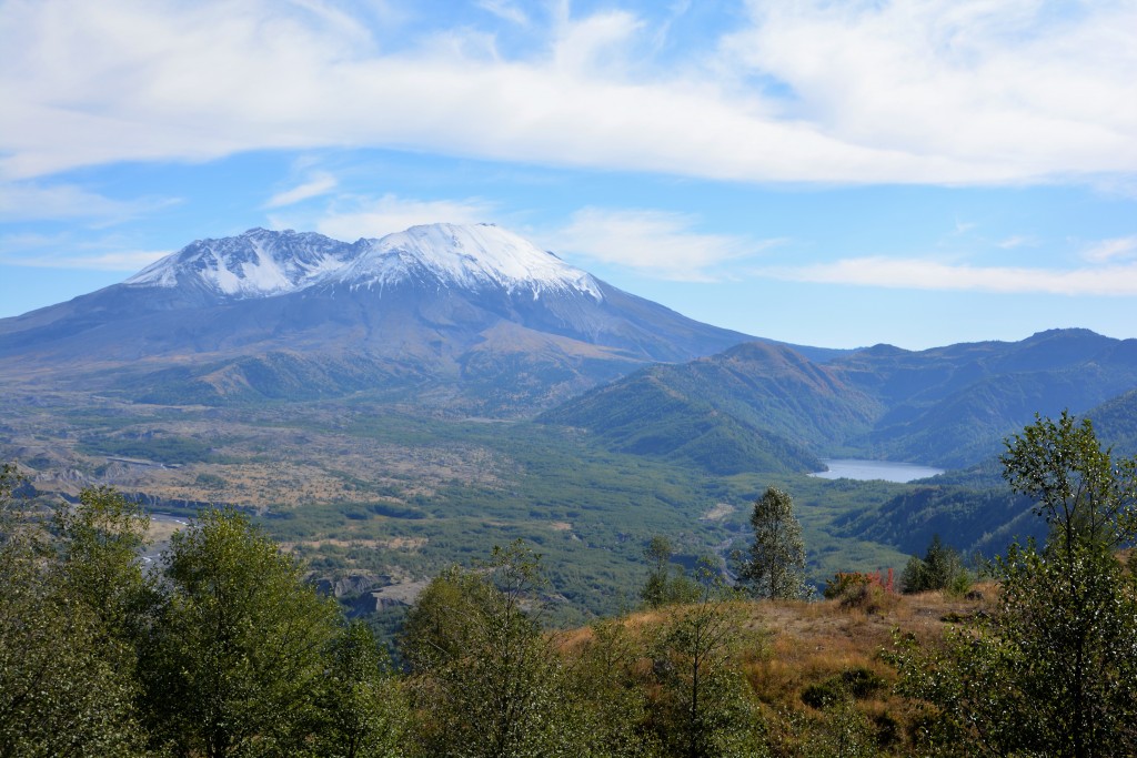
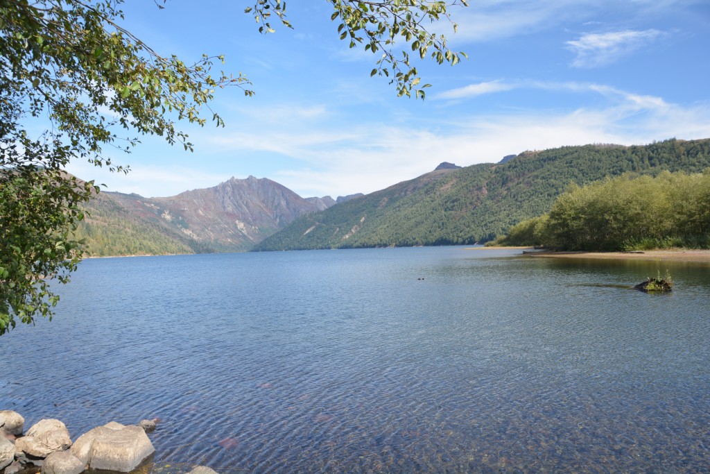
The entire landscape around Mt. St. Helens changed when it exploded, including the creation of new lakes like this one on the right
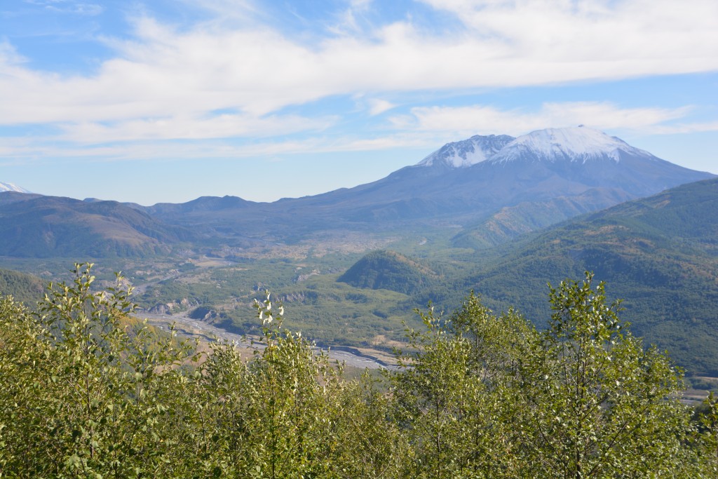
We visited one of the lakes that were formed by the volcanic blast, now set in a tranquil mountain scene with clear blue waters. We drove up to the observatory on the adjoining ridge for spectacular views of the volcanic mountain, passively covered in snow, new glaciers gracing its inner cone. It was a mighty scene, very powerful, especially looking down on the valley which was completely changed from the explosion. Mother nature at her magnificent best…and devastatingly worst.
Comments
Barn shy — No Comments
HTML tags allowed in your comment: <a href="" title=""> <abbr title=""> <acronym title=""> <b> <blockquote cite=""> <cite> <code> <del datetime=""> <em> <i> <q cite=""> <s> <strike> <strong>