South for the winter
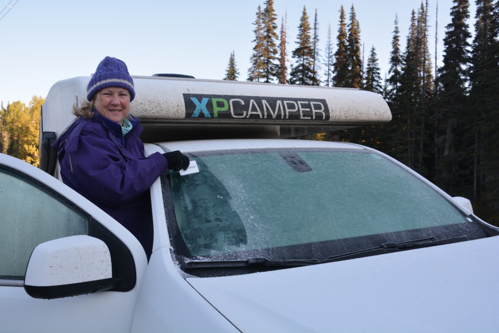
The leafy trees are turning yellow, the temperature is dropping, the skies are always grey, businesses are closing, this must be northern Canada in late September. Our adventure in Alaska is sadly behind us and our aim is to start heading seriously south over the next couple of weeks but we still have many things we want to see along the way and to enjoy more Canadian hospitality, if not their weather.
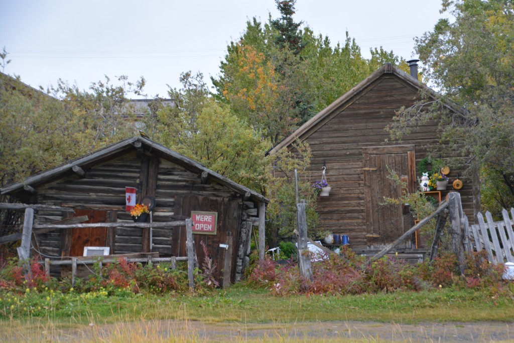
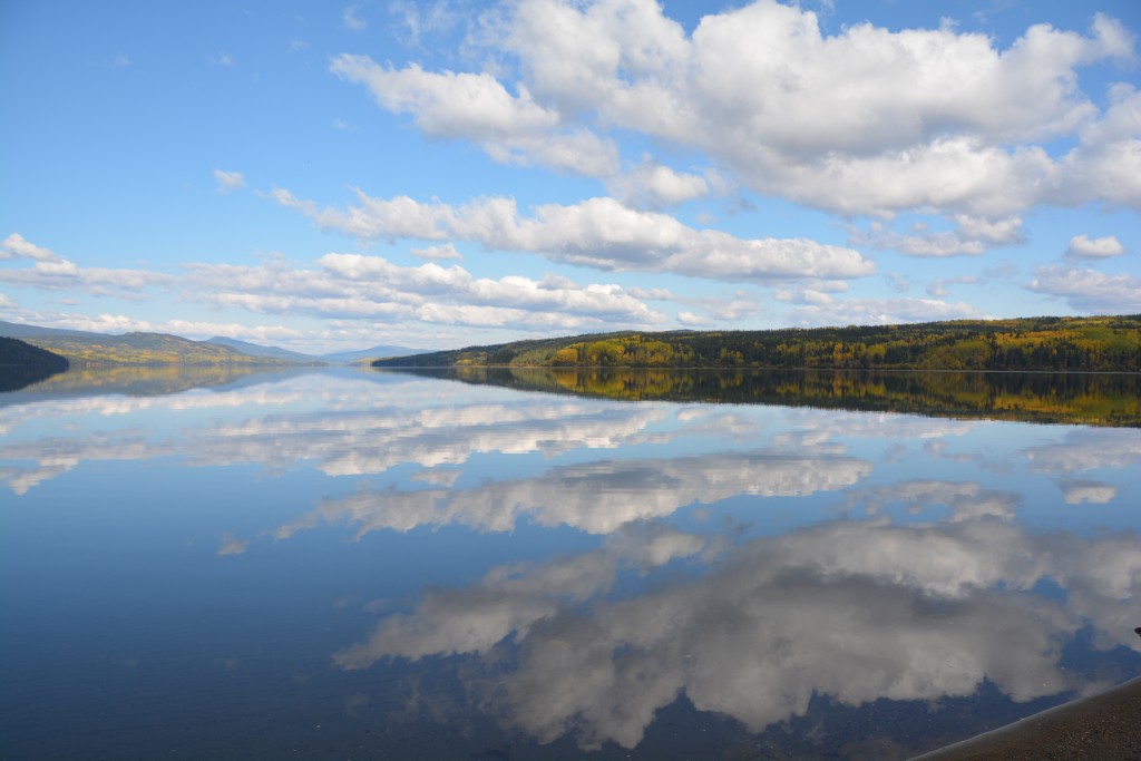
We dropped off the Alaskan Highway and drove about 100 km south following the shores of a string of beautiful lakes to the remote historic town of Atlin. Atlin could have easily been forgotten by time if not for the locals who call it home and for the magnificent setting on the shores of a deep blue lake and the high mountains all around.
Gold was discovered here during the frenzy of the late 19th century but didn’t last long enough to sustain the town. The sparkling lakes and a series of paddle steamers kept the town connected to the outside world until a road was finally built by the Canadian army in the 1940’s. Today Atlin features a number of buildings from those halcyon days and seems to survive on inquisitive visitors in summer and the durability of the locals in winter.
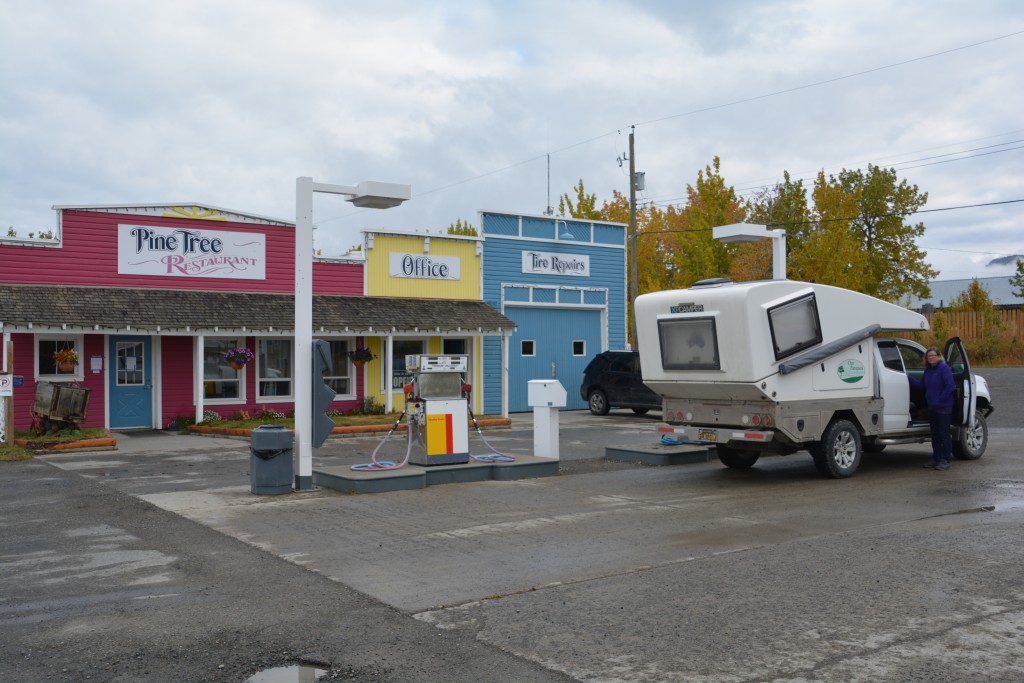
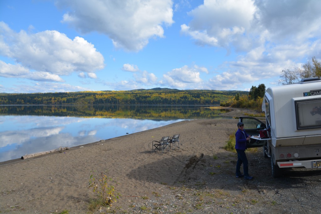
We had a look around and picked up a good vibe that the community had made an effort to preserve their special place. We had showers at the local shower/laundromat/used book exchange before heading back to the main highway and further southeast. Here the Alaskan Highway weaves its way between the mountains and around the lakes, back and forth across the British Colombia and Yukon border. We settled on a beaut place to camp by an unnamed lake after having turned south on the Stewart-Cassier Highway. Even though we started to feel like we had left the remote northern stretches of this continent we were still camping at an astonishing 60 degrees latitude.
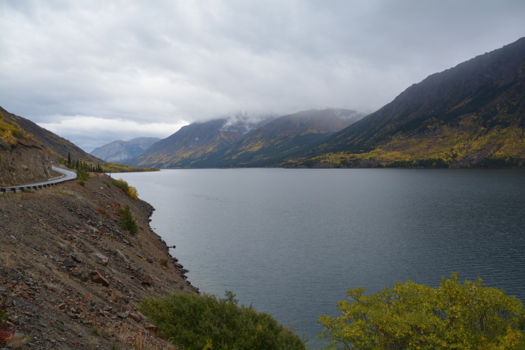
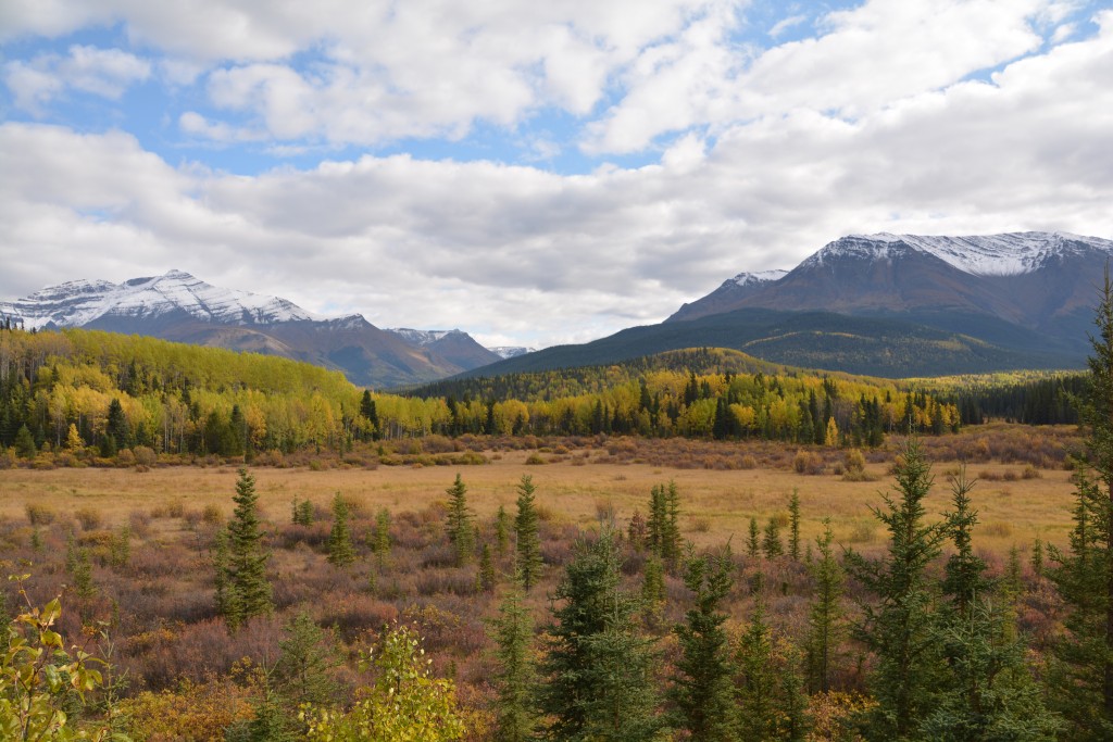
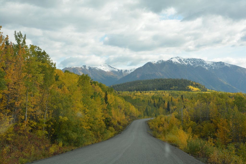
In recent years the Stewart-Cassier Highway has grown in popularity as an alternative to the Alaskan Highway for those driving to or from Alaska. It runs closer to the famed Alaskan/British Colombia coastline and is known for its fabulous scenery, higher mountains and more opportunities to see wildlife. Unfortunately the northern stretches of the highway were marred by the blackened skeletons of spruce trees burned by a long reaching fire but as the morning progressed the spruce and poplars returned strong, the mountains emerged from the clouds and the beautiful lakes which seem to run length-wise between the mountains sparkled in the sunshine.
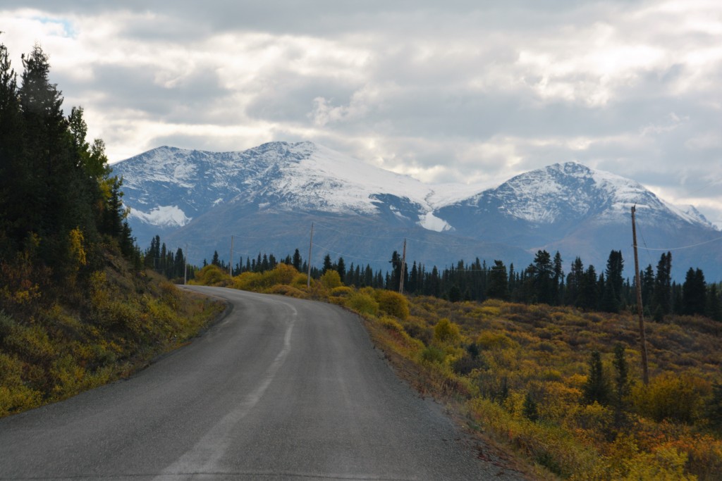
Once we left the remains of the huge forest fire the Stewart-Cassier Highway offered us some fabulous views
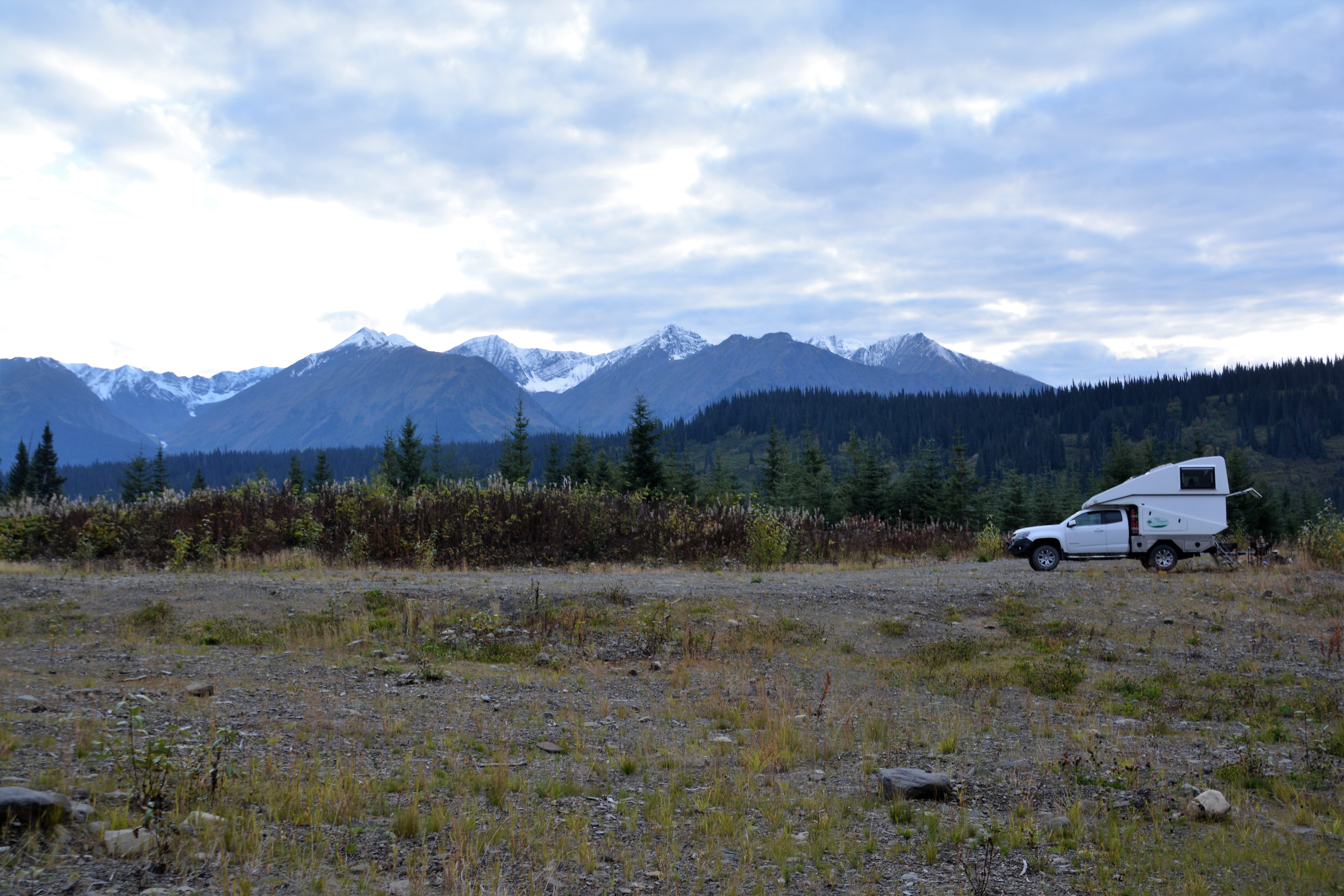
And the day just kept getting better. The mountains got higher and started to feature heavy snow-covered tops, a few glaciers and a more jagged skyline. We dipped up and down over the mountains, crossing the fast flowing Stikine River and its surrounding national forest, settling on a camp spot high up a slope with views of a snow peaked range in front of us. Heaven.
The next morning we diverted westward on the Glacier Highway to the Canadian town of Stewart. This winding road was well named as up to 20 glaciers grace the mountains on either side of the road, some of them like Bear Glacier coming down to eye level. Stewart is a small sleepy town of about 700 on the tip of the long thin fjord called Portland Canal. Where these 700 people were hiding is anyone’s guess. But Stewart is a thriving metropolis compared to the small town across the US border called Hyder Alaska.
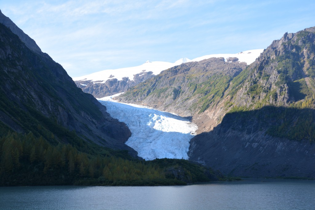
The 60 km Glacier Highway to Stewart was appropriate lined with glaciers, including Bear Glacier which came down to road level
We’ve given up trying to figure out why the borders between these countries were drawn as they were, and the official explanation sounds like gobbledygook, but suffice to say that communities like Haines, Skagway and Hyder are cut off from the rest of Alaska and one must drive through long stretches of Canada to get to them.
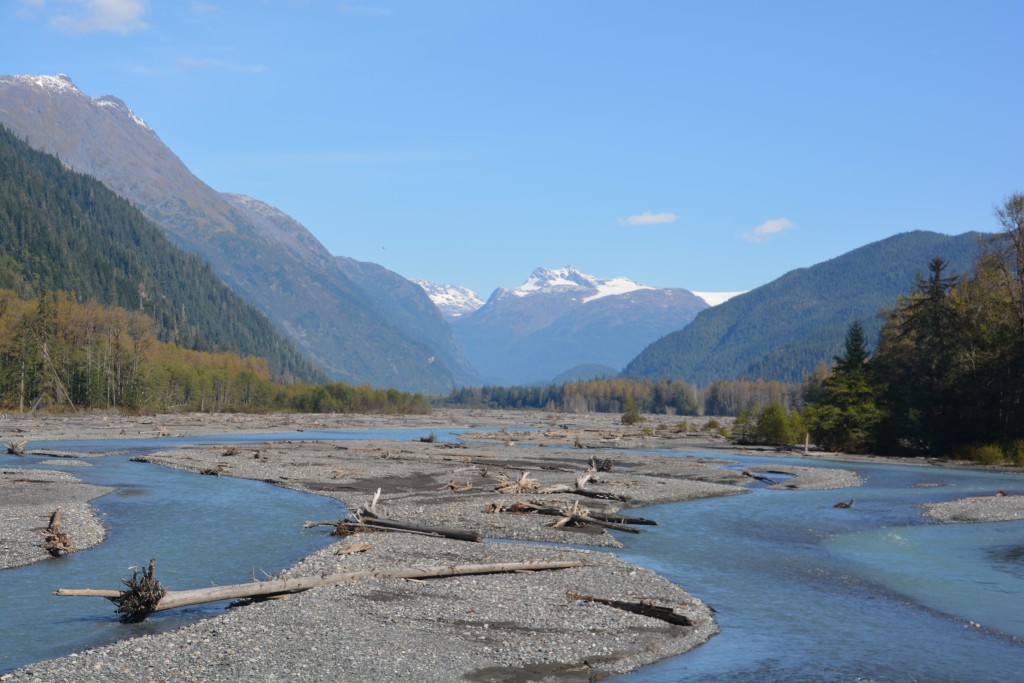
The Bear River that flowed through the valley to the ocean provided a great foreground to the mountains and glaciers
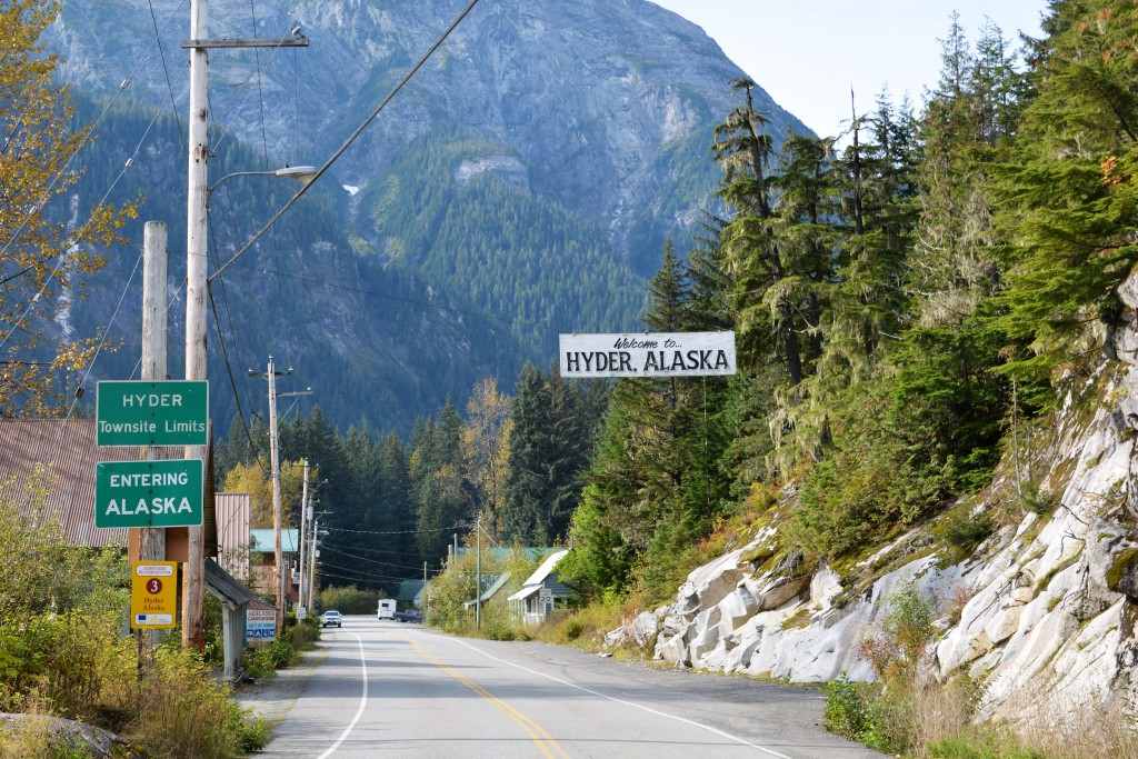
Whereas Haines and Skagway are towns of merit and modest commerce, Hyder seems to only exist at the whim of its handful of residents. There are no border controls when driving into Hyder, the road is only 5 miles long before it comes to an end and the town calls itself the ‘friendliest ghost town in the world’. We agreed about the ghost part, Hyder seems to be playing with the truth when it claims 70 citizens as we saw barely any life at all.
To add to the confusion, the time zone is Canadian, the preferred currency is Canadian and the school children, such as they are, go to school across the line in Canada. We could only find one business in operation (and bought a T shirt), most homes were modest and somewhat quirky, the whole odd place made us smile.
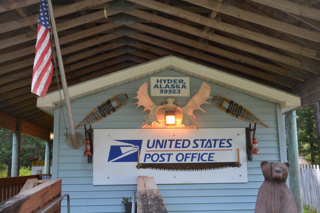
Okay, how many post offices in the US have moose antlers, old snow shoes and other odd stuff hanging on their front wall?
But beyond all that, Hyder exists because at the end of the road the US Forest Service has built a boardwalk and viewing platform for people to observe black bears and grizzlies come down to feast on spawning salmon between July and September. This is one of the premier places in the north to watch this festival, especially the two types of bears co-existing, and it draws people who would otherwise stay on the main highway 60 kms away. We were too late for the bears but enjoyed the scene before about-facing and heading back past the glaciers and ending the day camped in an old logging camp.
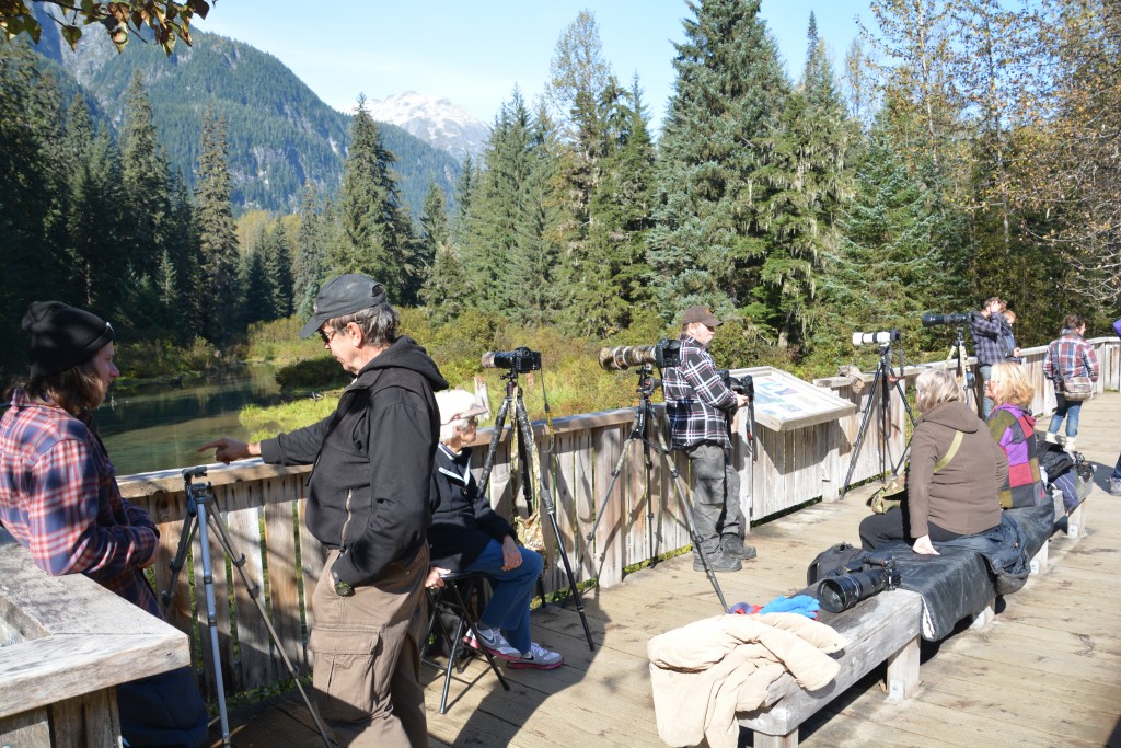
Has anyone seen a bear lately? Well, apparently not the day we were there, bit late in the season but we enjoyed the scene anyway
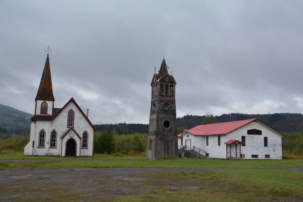
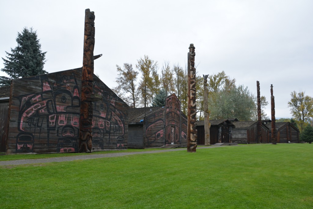
Over the next two days we drove ever southward, aiming for the famous national parks in Alberta, Jasper and Banff. At Kitwanga we visited a historical town site of native Canadians and stopped at a row of totem poles carved over 140 years ago which tell important stories of their culture. Very cool.
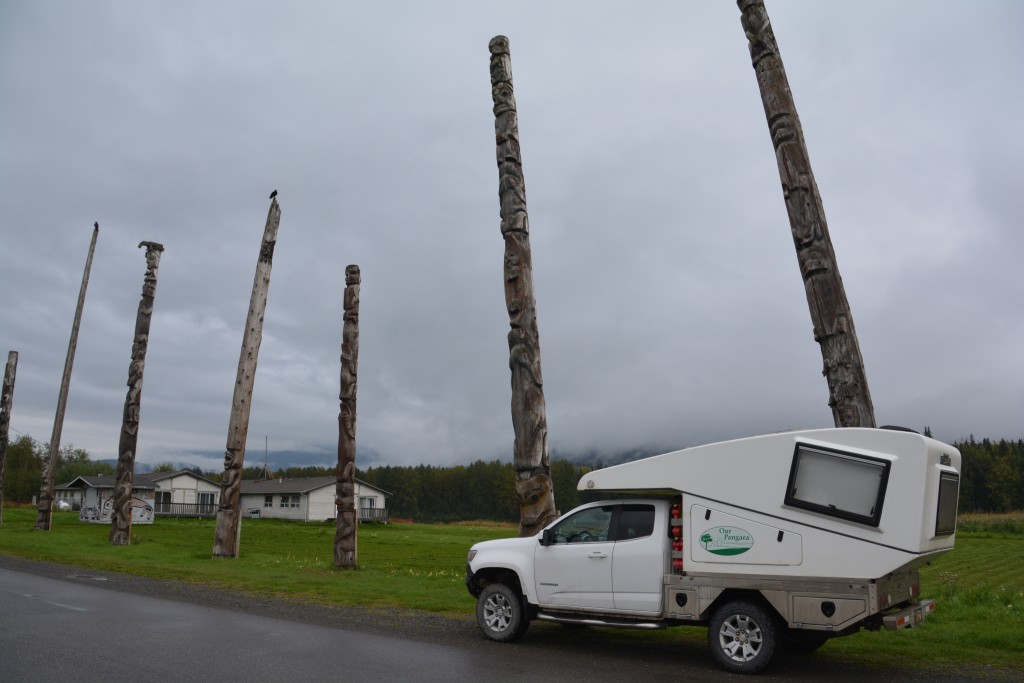
Tramp amongst giants – these totem poles were carved about 140 years ago and still stand to tell their special stories
If you’ve driven to one Prince, you’ve driven to them all…or so I thought until I realised I went the wrong way
Shortly after that we dropped our guard and turned the wrong way on a major road. Now we’ve made a lot of wrong turns on this trip, that’s for sure, but on this occasion I turned for the town of Prince Rupert instead of the town of Prince George. I got my Princes mixed up. And without any upcoming towns and bugger-all signs we drove 60 km (36 miles) the wrong way before the penny dropped. Oops.
We stopped by another native Canadian rebuilt village with their very tall totem poles and appealing art work, through rural areas with fences, barns, horses and cows, all very new and strange for us, and sadly realised we had left the world of permafrost, black spruce, bears on the side of the road and the remoteness we had come to love.
Even on the most serious hard core driving day we rarely go over 300 miles (480 km) and usually quite a bit less. There is always something to stop for, views to see, small towns to explore or supplies to be bought. That’s why we only average about 160 miles (250 kms) per day on the entire trip. The distances are so great and it always seems to take longer than we initially estimated but eventually we did reach Prince George and kept on trucking, more or less, toward the Alberta Border.
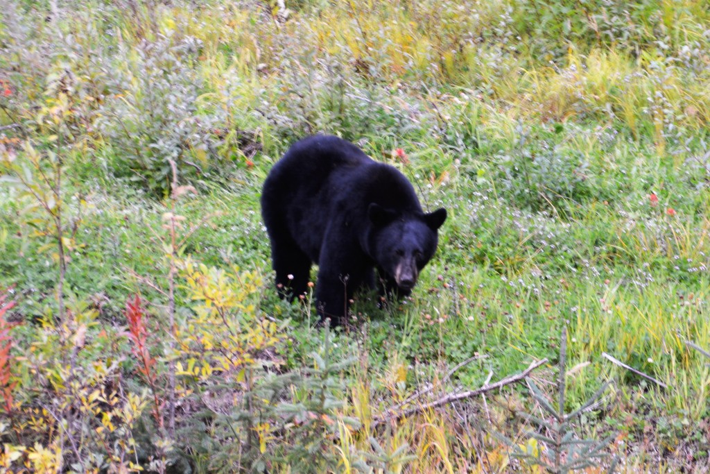
Did I mention there were no more bears on the side of the road? Well, just as we stopped looking this beautiful guy was grazing near by
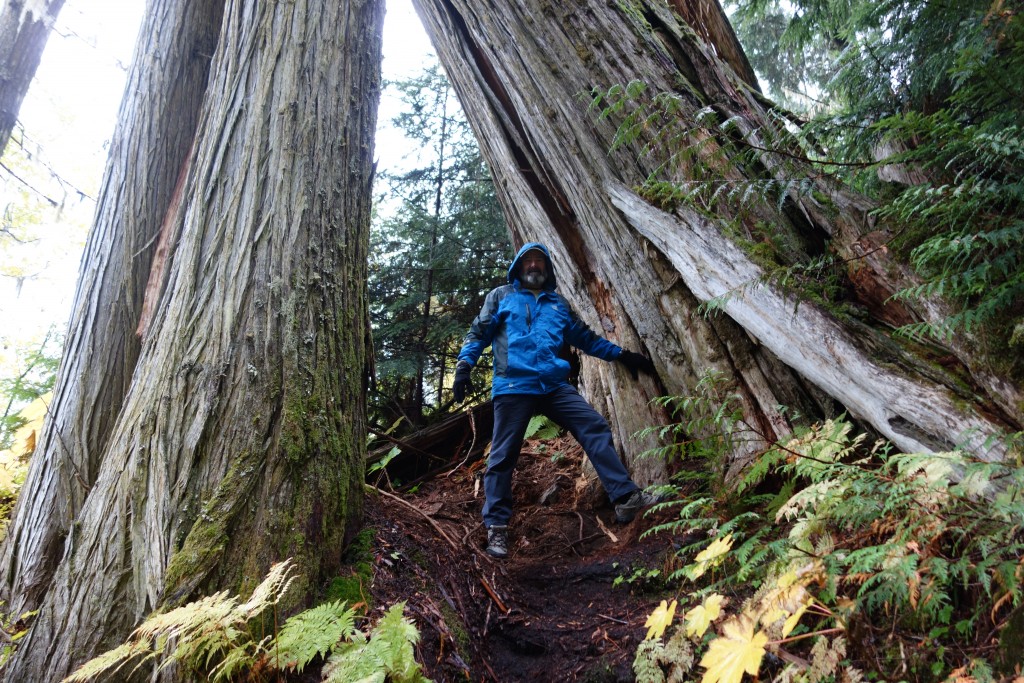
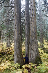
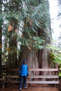
The last morning of our passage through Beautiful British Colombia, as the licence plates continue to remind us, we stopped at a new provincial park called Ancient Forests. This is home to the largest inland temperate rainforest in the world and hosts some of the biggest and oldest trees on the continent.
The biggest of these western red cedars have prospered on these damp fertile slopes for over 1,000 years and perhaps even twice that. Adding to the atmosphere, the morning was cold and rainy, really fairly miserable, but it didn’t matter a bit as we walked amongst these giant living beasts, marvelling at their size, survivability and beauty. The biggest of the lot, cleverly named Big Tree, had a diameter of 5 metres (16 feet), perhaps predated Christ and was an absolute beauty to behold.
From this point we moved eastward into the Rocky Mountains and passed into Alberta with more mountains, beautiful scenery and now awaiting us.
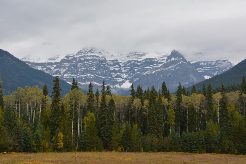
This is Mt. Robson, the highest mountain in the Canadian Rockies, but unfortunately we could only see the lower third. The photos of it on a clear day are astounding.
Comments
South for the winter — No Comments
HTML tags allowed in your comment: <a href="" title=""> <abbr title=""> <acronym title=""> <b> <blockquote cite=""> <cite> <code> <del datetime=""> <em> <i> <q cite=""> <s> <strike> <strong>