Farewell Alaska…or not
We have spent more than seven weeks in Alaska and driven over 5,500 miles, full of adventure, exploration, discovery, wonder, joy and yes, some frustration with extended car troubles. But all good things must come to an end, preferably before winter sets in, and we reluctantly made our way south towards Canada. But Canada and Alaska are intricately linked geographically and with such few roads in the region we planned to dip back into The Last Frontier on a couple more occasions.
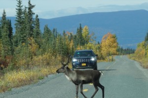
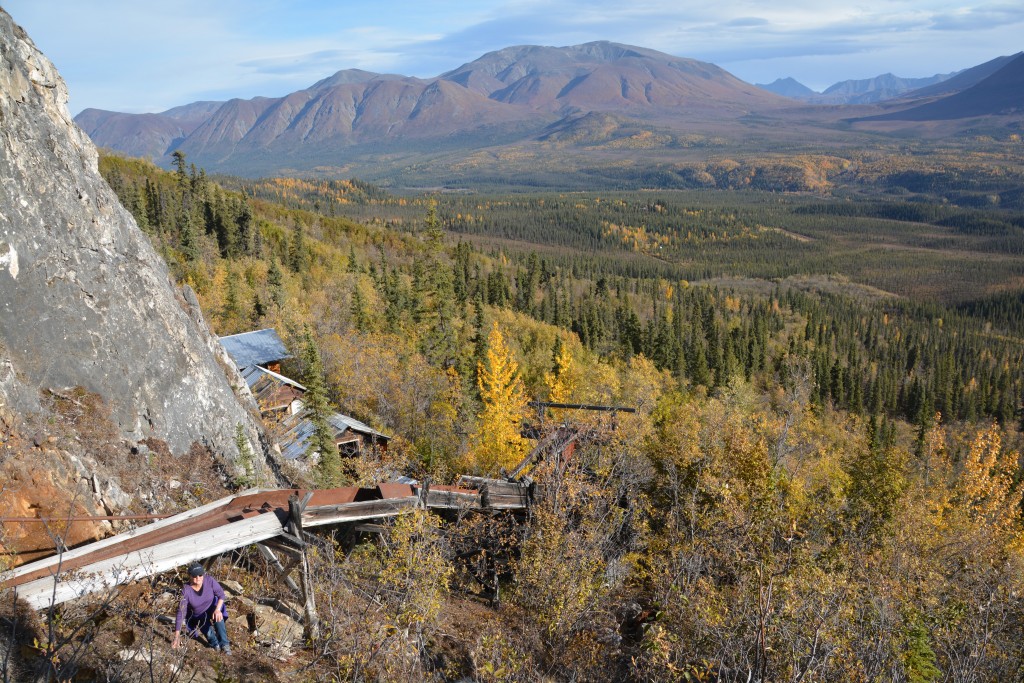
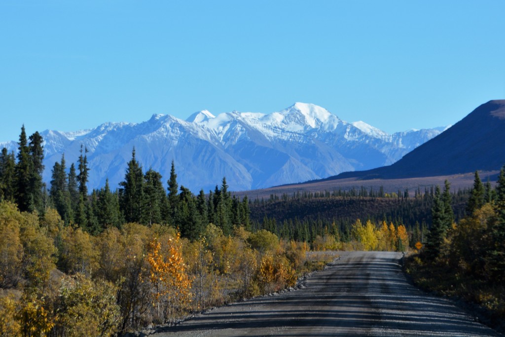
We left the northern reaches of Wrangell St. Elias National Park after a fun walk up to the Rambler Mine, high on the slopes of White Mountain. Rambler Mine last operated as a gold mine in 1943 but today provides expansive views of the valley below and the imposing Devil Mountain opposite us. From there we followed the long gravelly road out of the valley, stopping twice to let beautifully antlered caribou cross the road, before hitting the main road and ending up in the intersection town of Tok.
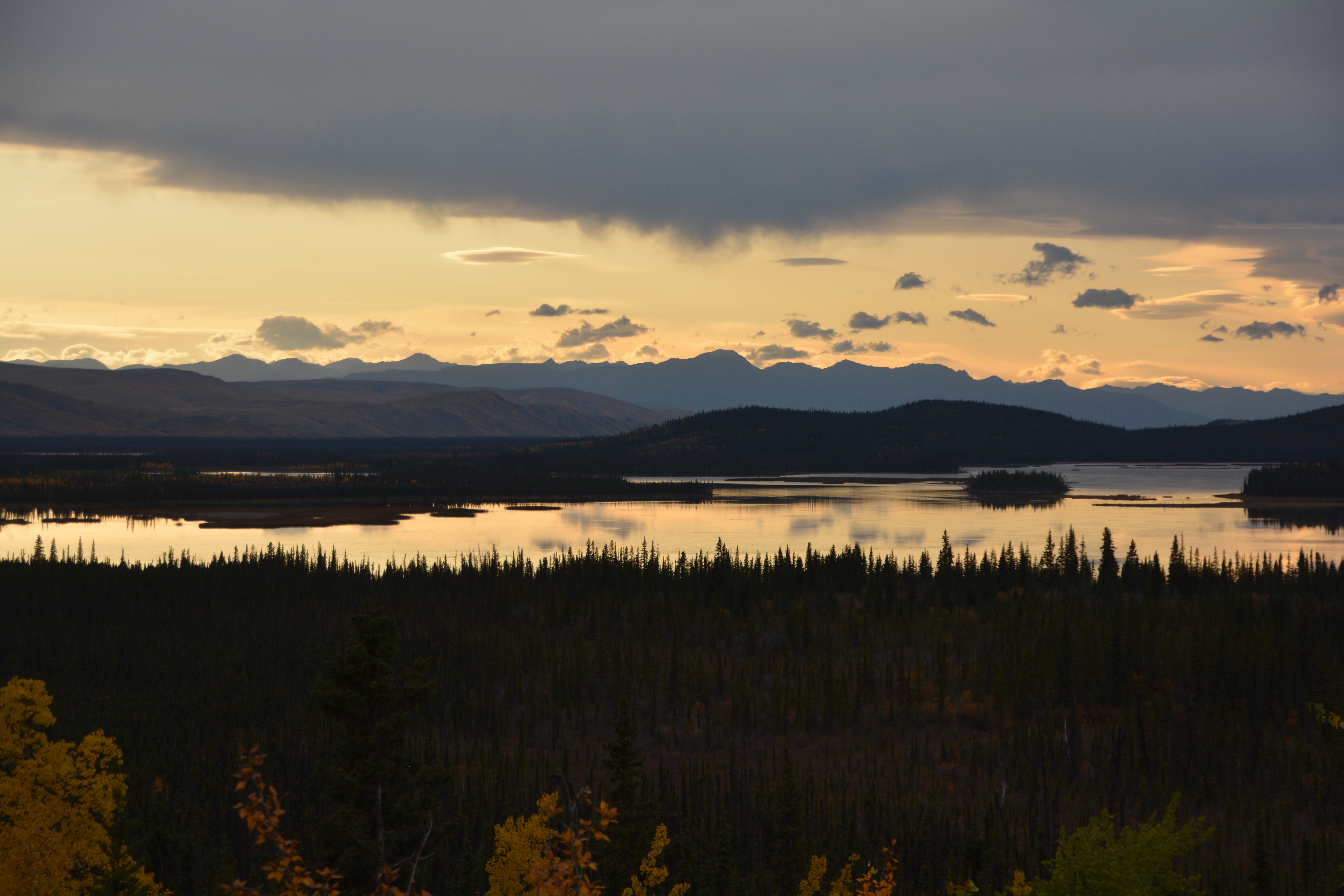
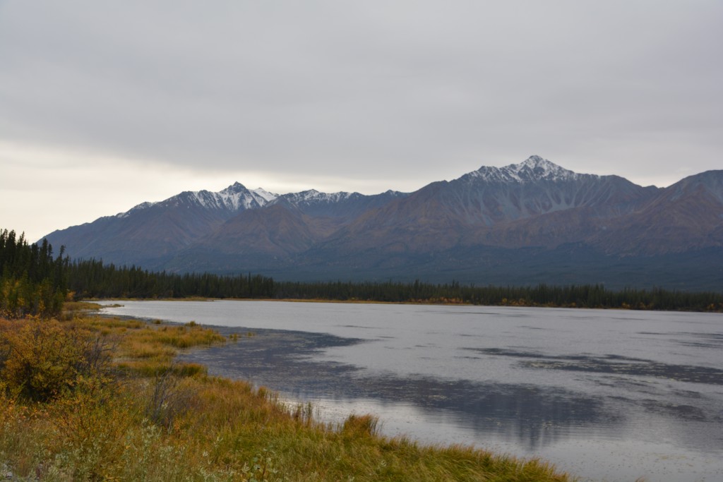
Our return to Tok completed a huge loop of Alaska. We had previously been here in the first few days of our visit and now almost 5,000 miles later we had returned. With some washing and admin duties behind us we headed south towards the Canadian border, camping one more night in Alaska with grand views of Tetlin Lake below us and a setting sun to die for.
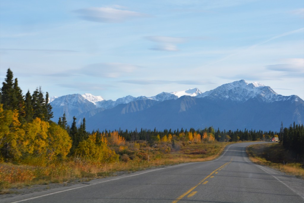
We woke to skies that were Canadian Grey, a new colour we invented some months ago to describe almost the daily conditions while we were in Canada. This was only fitting as within two hours we had crossed the border and re-entered The Yukon Territory. Never mind we were travelling on a new section (for us) of the famous Alaskan Highway and the scenery was spectacular in all directions, we felt a certain sadness at leaving Alaska, even knowing we would be back within its borders soon. Alaska has a way of grabbing you by the neck and changing the way you look at things, the way you judge all that is around you. We’ve said before we thought we might have been Alaskans accidentally born somewhere else.
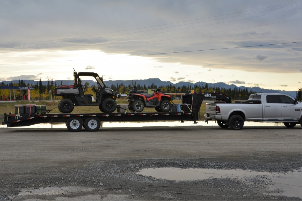
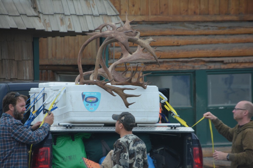
Hunters have a lot of large and expensive toys…and then a big truck and a big trailer to pull them around on
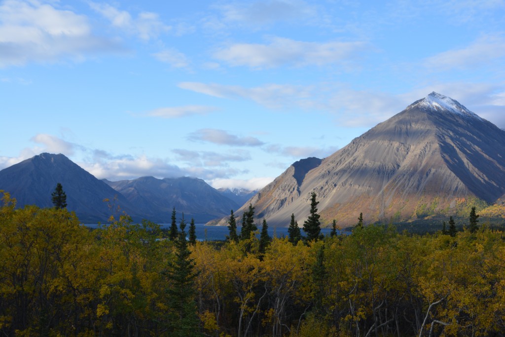
The Canadian maintenance of the Alaskan Highway lagged behind their Yankee partners and we were constantly dealing with long stretches of construction, gravel sections and dangerous potholes. But the scenery kept on giving and in time the jagged snow-capped St. Elias Mountains came into view, some of them reaching over 16,000 feet (5,200 metres). In fact, the St. Elias Mountains feature the 16 highest mountains in all of Canada. We travelled along the shore of the huge Lake Kluane and with eventually made Haines Junction where we turned south towards the Alaskan port town of Haines.
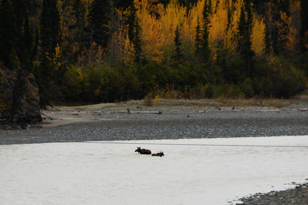
A female moose and her young calf negotiate crossing a river near dusk. At one stage the calf lost her footing, floated downstream but eventually swam out on the other side
Because of the huge mountains, long inland waterways and awkward lines on the map that make up the borders between Alaska and Canada there are actually a number of small parts of Alaska that can only be visited by travelling through sections of Canada. One of them is Haines which is on the northern waters of what is commonly called the Inside Passage.
The Inside Passage is visited each year by literally hundreds of thousands of cruise ship passengers who board luxury liners that sleep over 2,000 passengers in southern ports like Vancouver. This is said to be a fabulous journey weaving between the islands and past the fjords and glaciers of south-eastern Alaska, something we plan to do in the future. That wasn’t an option now and instead we planned to drive to some of their ports.
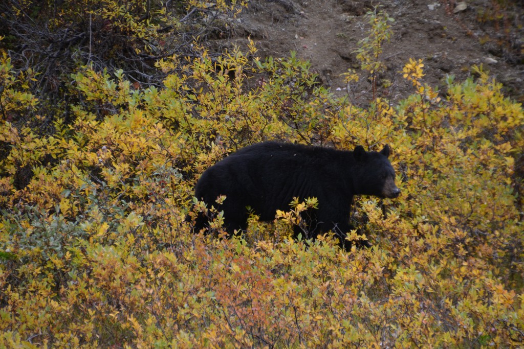
The drive to Haines was an unexpected stunner, up and over the high Chilkat Pass, above the tree line and covered colourful alpine tundra, spotting three black bears and crossing briefly into British Colombia before entering the US and changing (again) both time zone and currency.
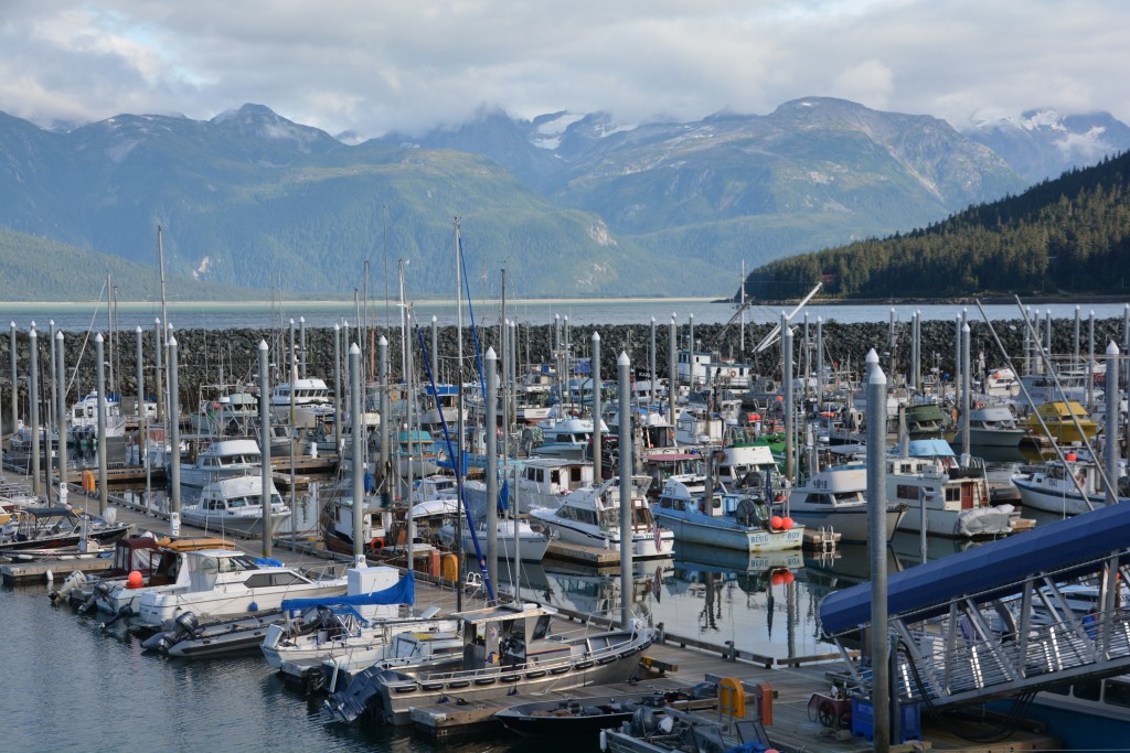
Haines is a small community of about 2,500 people where the Chilkoot and Chilkat Rivers flow into the ocean at the end of a deep fjord. In peak season it hosts a monster cruise ship every day which must overwhelm the few shops that cater to visitors. It is also the launch pad for people who want to do a scenic flight over Glacier Bay National Park. Ah yes, this was the last item on our Alaska bucket list.
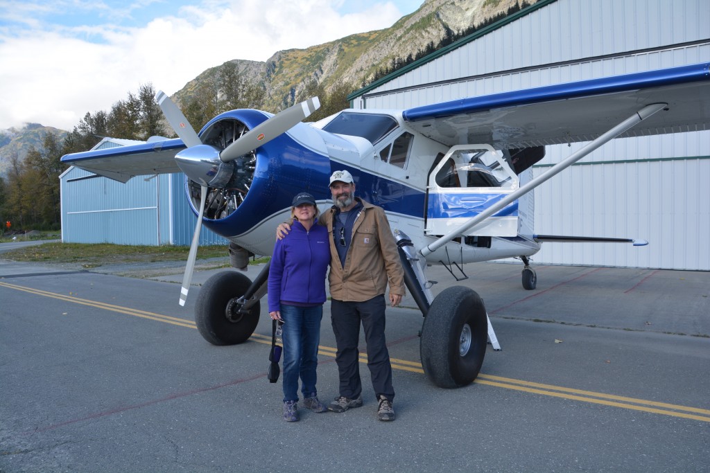
Oh no, oh yes, another scenic flight in a tiny little plane, this time over Glacier Bay National Park
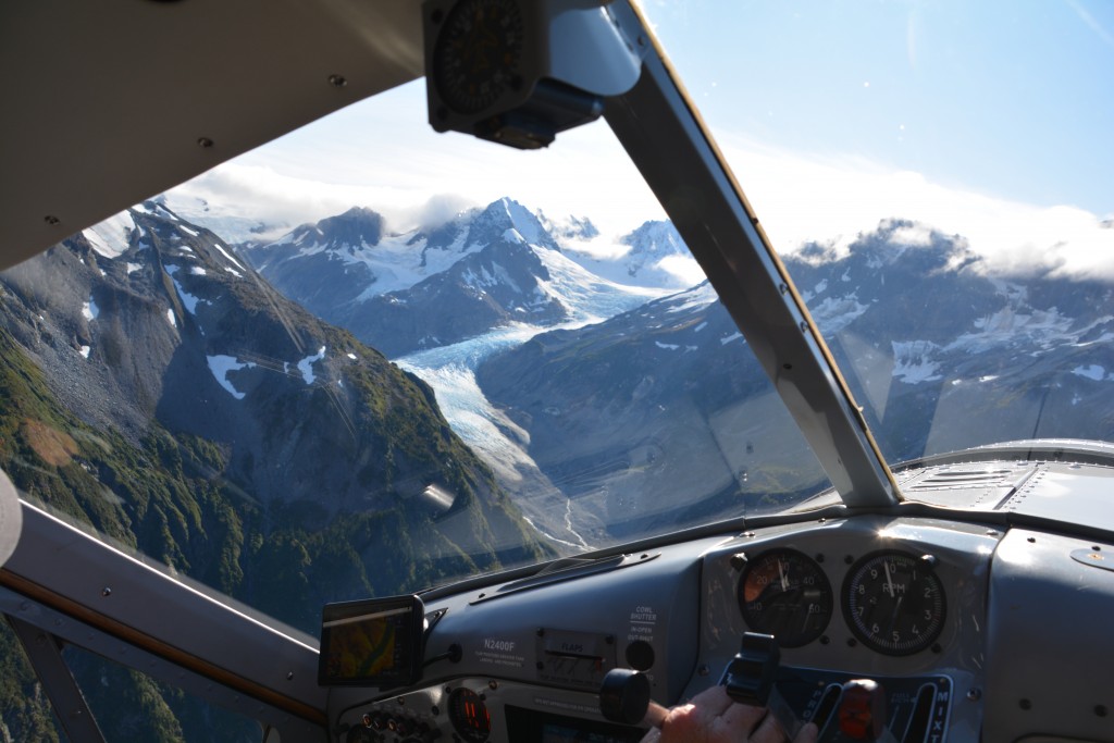
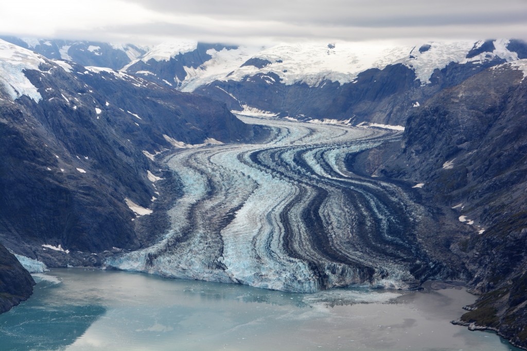
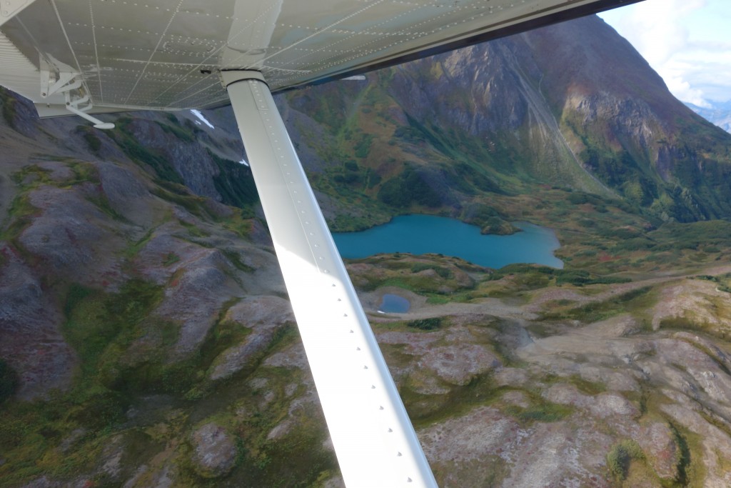
It was a quiet day for Paul at Mountain Flying Service so he agreed to take us up in his beautiful de Havilland Beaver prop airplane and treated us to absolutely one of the most spectacular experiences of our lives. No kidding, this was unbelievable – a beautiful flight over first the East Arm of Glacier Bay, then the more famous West Arm, up and over the mountains, swooping down to almost skim the glaciers, around jagged rocky points and over the milky green water, tipping his wings this way and that to give us unimpeded views, the whole thing almost beyond words.
We saw bears on the slopes grazing on fields of berries, herds of mountain goats clinging to steep mountain sides and even the last cruise ship of the season exiting the West Arm. But they didn’t have the view we had or the commentary from Paul who named all the glaciers, explained how they’ve changed in the 25 years he’s been flying there, where he lands planes on the glaciers in Spring for his passengers and the remains of a plane crash long ago.
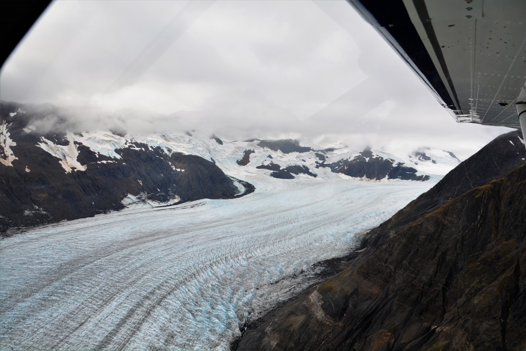
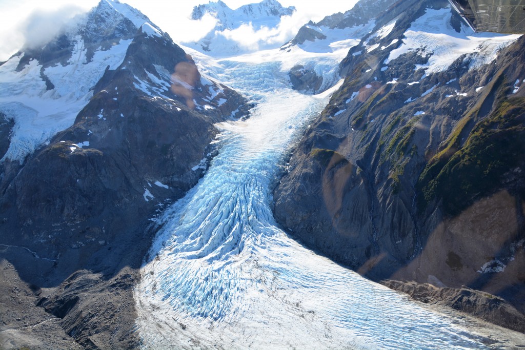
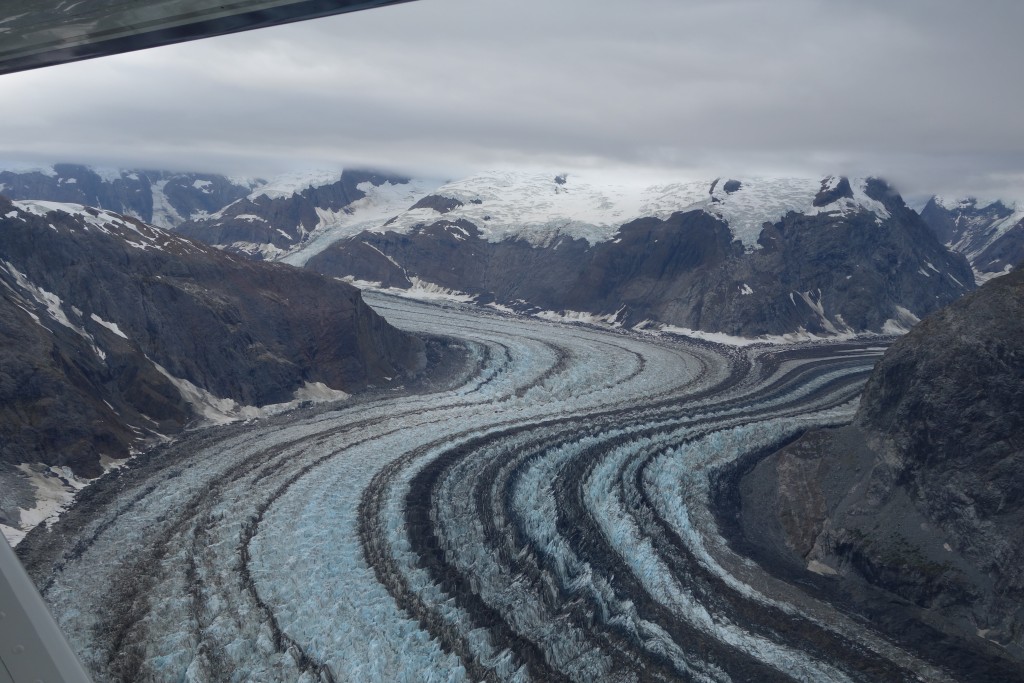
Another glacier, this one featuring racing stripes from the gravel and moraine it picks up along the way
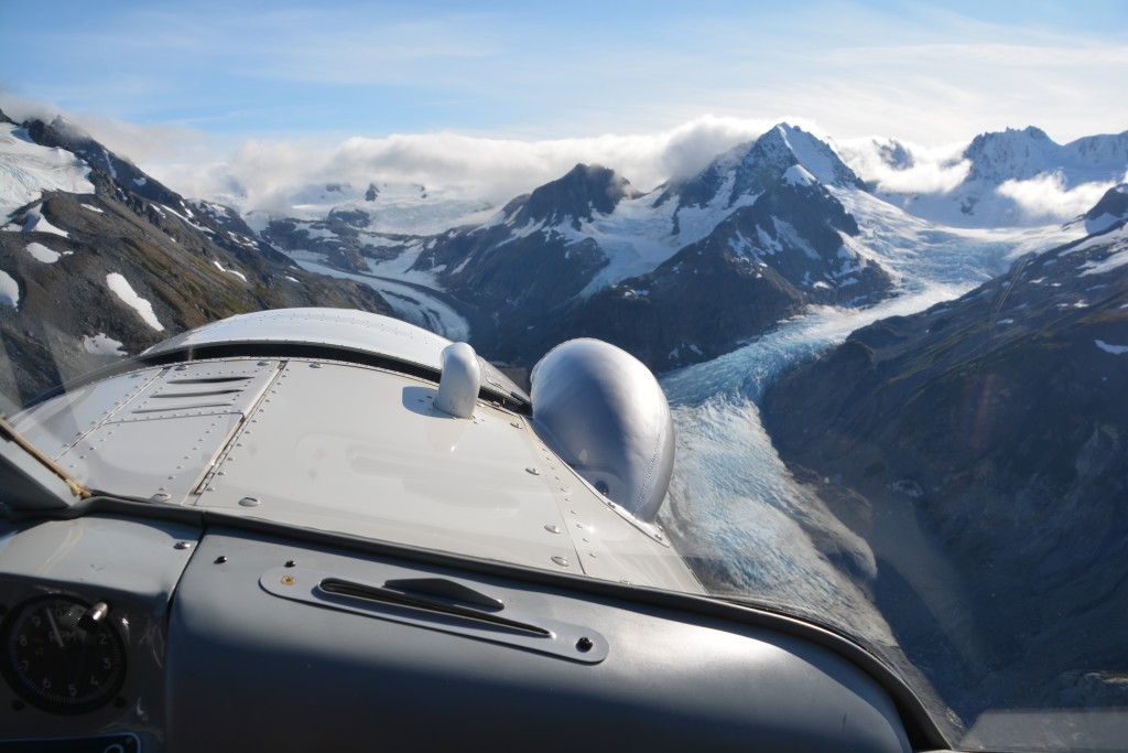
More views from the front window – Paul does this flight up to six times a day in peak season and never tires of it
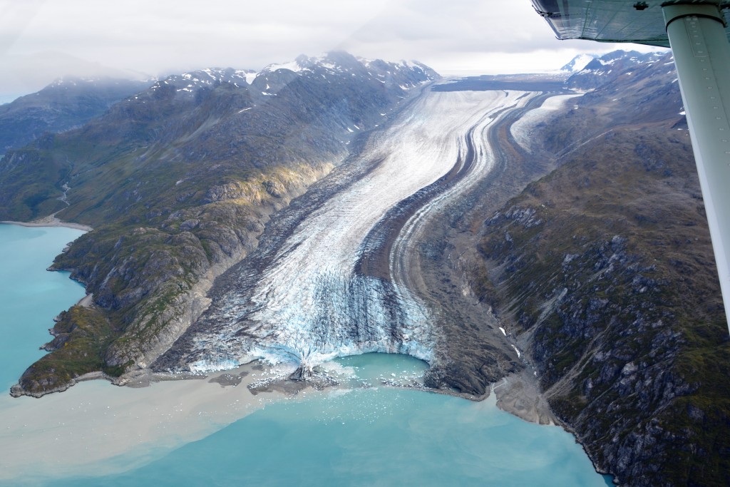
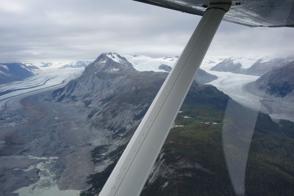
One aspect that caught our eye was how much these glaciers had retreated in recent years and how much the landscape has changed as a result. In many cases glaciers used to connect into each other but now have retreated up different valleys and separated or lakes have appeared which used to be glacier.
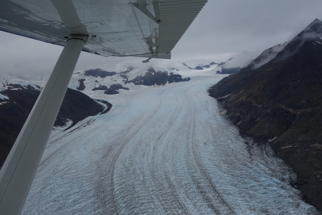
We flew over dozens of glaciers, big and small, some all the way to the ocean, others retreating back up into their valley, all beautiful
There were too many glaciers to name, and who cares anyway, but our favourite might have been Hopkins Glacier with its impenetrable cracks and deep crevasses, gravelly moraine racing strips and sparkling blue colours. But frankly, any glacier is a good glacier and we probably saw dozens and dozens of them, many unnamed and insignificant amongst some of the huge ones that wind their way through the mountains and down to water’s edge. We were numb by the end of it all.
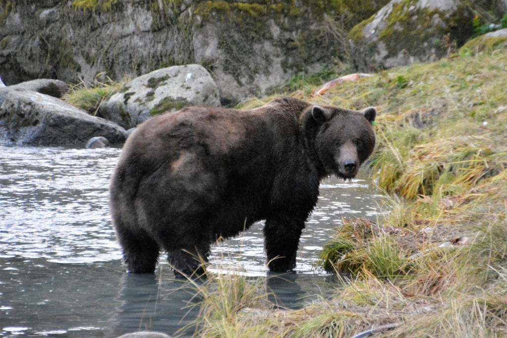
That night we drove down to where the Chilkat River flows into the bay and watched grizzly bears come down to feed on the salmon. This was great stuff, more sensory overload for us, especially one huge fat male bear, gorging on salmon he would catch with one paw, ripping out just the yummy fleshy part of the salmon before discarding the rest.
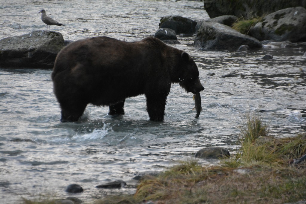
Caught another one! This guy is relentless at fishing – he just paws a salmon and holds it down before picking it up with his mouth
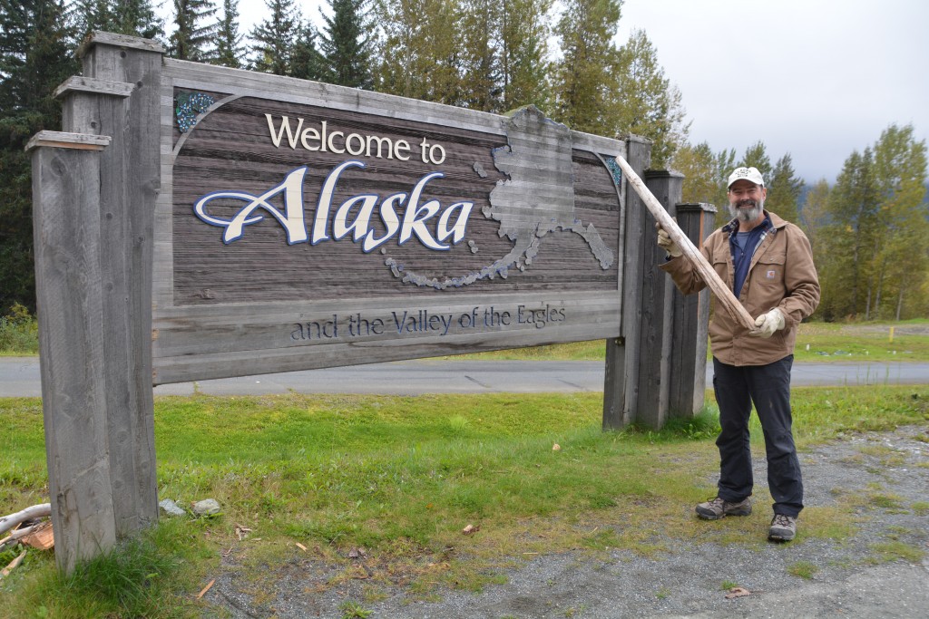
The sentimental log joins the sentimental shovel and the sentimental wife as my most treasured travel companions – unfortunately one of them had to be left behind for fear of bringing in unwanted pests
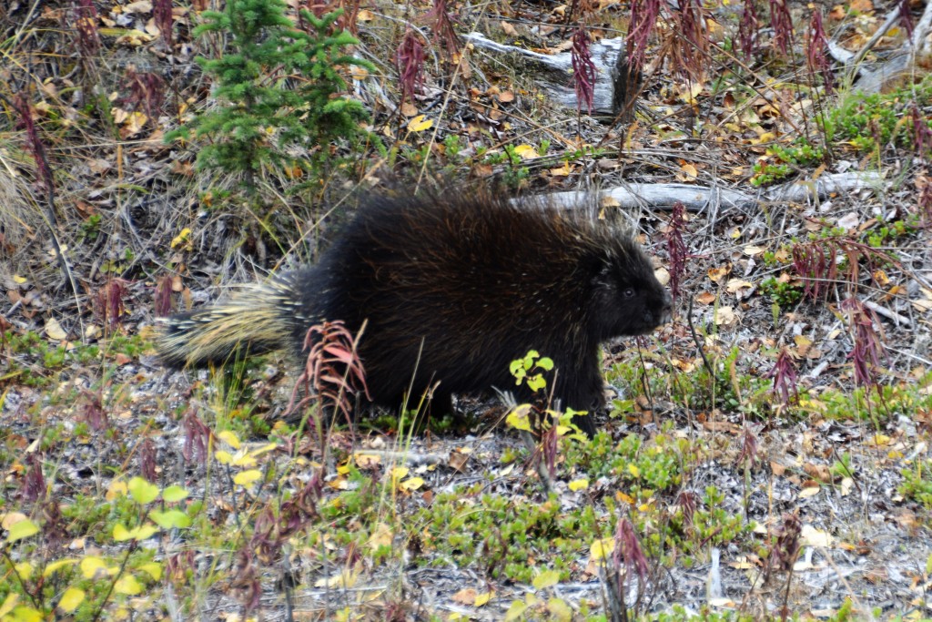
After camping amongst the giant hemlocks in a nearby state park we headed out of Haines and back into Canada. Travel over the Chilkat Pass was grim with very thick fog and no chance to admire the beautiful mountains but we did spy a black bear grazing on berries near the side of the road. We dropped down on the other side of the mountains and skirted the impressive Kluane National Park again, spotting a fat healthy porcupine feeding not far from the road.
We pulled into Yukon’s capital and largest town, Whitehorse, late in the afternoon and admired the Yukon River one more time, did some resupplying before heading out of town and camping at a government campground called Wolf Creek. Australians would understand how brave we had to be to camp there.
Our next – and last? – visit to Alaska was down the Klondike Highway to the historic coastal community of Skagway. The road passed out of Yukon, briefly through British Colombia and finally into the US before dropping nearly vertically down to the Lynne Canal, a deep fjord providing access for cruise ships plying the Inside Passage.
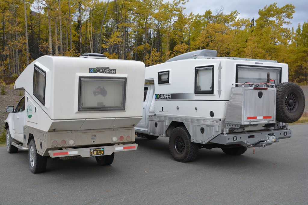
OMG! Finally after 31,000 kilometres we see our first (other) XP Camper. This is Tramp’s big brother the V1 on an impressively big Dodge Ram
When gold was discovered on the Klondike River near Dawson City in 1898 a rush was on by thousands of hopeful prospectors who wanted to make their way to this remote inland area. The only way to do that in those days was to board a ship to Skagway and then hike over one of the two passes that lead to inland Yukon, then build a boat (yeah!) and float or paddle through the lakes and down the Yukon River for 400 miles to get to Dawson. Easy stuff.
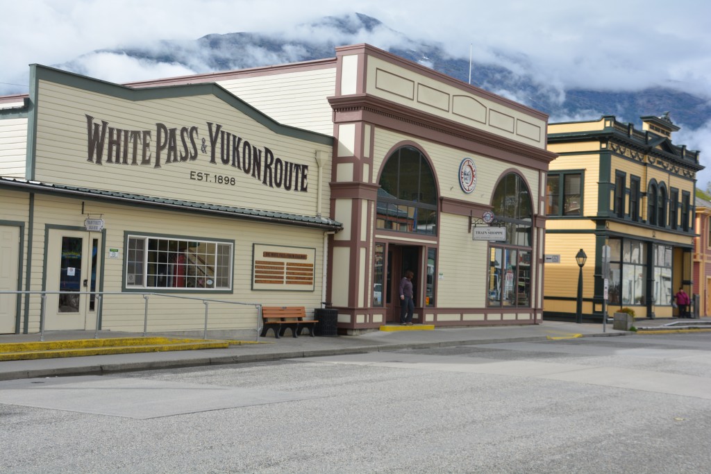
Skagway has done a good job of preserving its special history and many of the buildings reflect their noble years of continuous service
But for new arrivals in the boom town of Skagway it was anything but easy. Prospectors had to carry 1,000 pounds of gear up and over the infamous Chilkoot Pass so that they could be self-sufficient and survive the harsh winters and remote conditions on their way to their golden riches. The Chilkoot Trail leading over the pass became renowned as an extreme hardship to these tenderfoots who had to make this arduous journey in deep snow and blizzard conditions and for many of them it was the ultimate barrier to reaching Dawson.
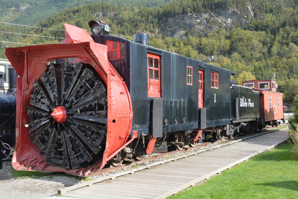
How about this for the front end of a train? It would just plow through the huge snow drifts with its spinning blades while at full speed.
Skagway exploded from being a native fishing village to a raging town of many thousands with ships coming and going, hotels, saloons, banks, supply stores, tent communities and all the rest. Most people made much more money supplying goods and services to these new arrivals than anyone made from finding gold.
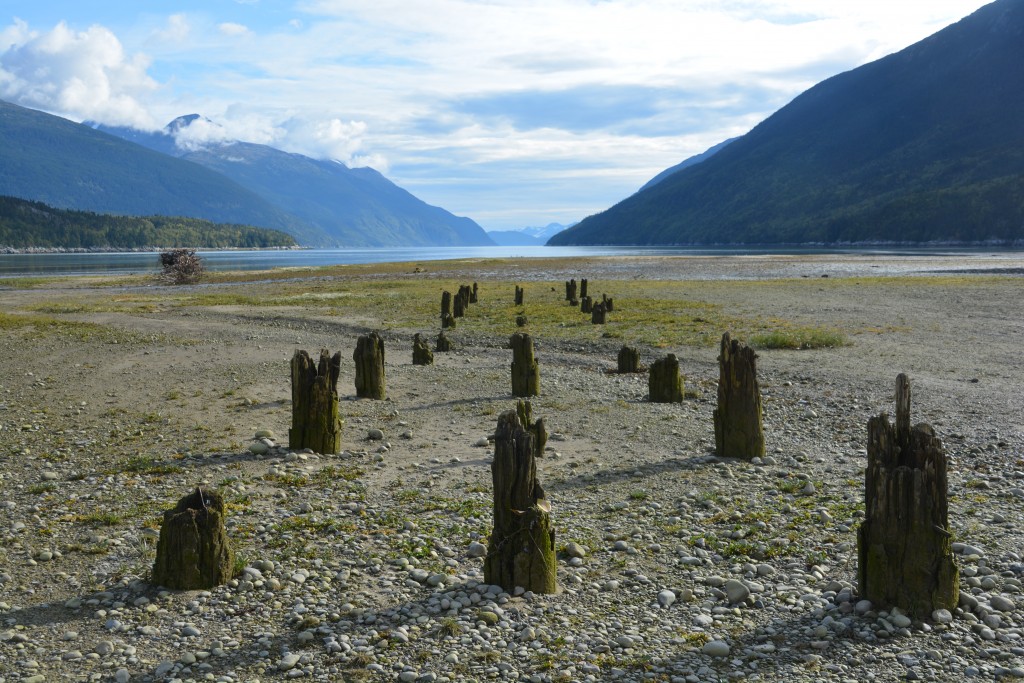
The other half of Skagway’s history is its sister town of Dyea which didn’t survive the end of the gold rush – these old pier posts are all that remains of their town
Today Skagway is a sleepy town of less than 1,000 people, probably much less in winter, which comes alive in peak summer when up to four cruise ships per day tie up to its docks. The town has the unenviable reputation for featuring unlimited Alaska T-shirts, jewellery stores and other kitschy tourist shops. We arrived at the end of the cruise season so most shops were closed but we still explored the town and tried to get a sense of the enormous part in Alaskan and Canadian history this town played over 120 years ago. Many of the original buildings still existed, or were reproduced, and the wooden sidewalks, old town buildings and historic signs helped give us a real sense for the Skagway of old. We loved it.
But Skagway has a special meaning for me because I’ve been here before. When I was in my late teens, a long time ago, we visited here as a family with friends and as a group we hiked the difficult 33 mile (53 km) Chilkoot Pass over a four day period before floating down the Yukon River all the way to Dawson City. It was an epic family adventure, one my parents specialised in, and I still remember many aspects of that great journey.
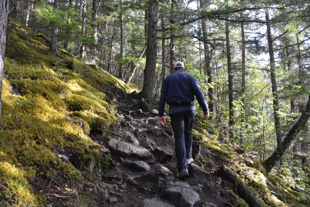
Trekking up the Chilkoot Pass, at least the first hour of it – note the special belt with bear spray
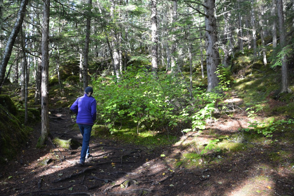
To commemorate that event Julie and I drove to the trailhead of the Chilkoot Trail and started walking up its famous track. We didn’t go very far, well…maybe an hour, but it was great fun to imagine centuries of native Alaskans using this path as a trading route, then the Stampeders carrying their gear up and over the top, then our family making the same trek in the 1970’s. Very cool.
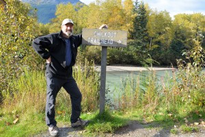
We camped that night on the banks of the Taiya River that flows out of the deep valley at the base of the Chilkoot Trail and in the morning reluctantly reversed our path up the hill, through US Customs and back into Canada. It was our final sad farewell to Alaska, at least for now, as we started the long journey back to ‘the lower 48’.
I already want to go back to Alaska and this blog didn’t help at all. Absolutely beautiful.
I will understand if you two want to move to Alaska when all of this is done. Just get a place with a room for me.
Ha, it’s a deal! The only catch is that we haven’t experienced an Alaskan winter yet – that might be a dealbreaker for you know who.
We have now caught up again with your travels. Still amazing and exciting. Now begins your more southern journey to find that sun again. Stay safe and keep writing. Love to you both xoxo
Hi Anne and Steve, yes heading south now, hoping for more sun and still exploring new places. Julie thinks the only reason we travel is so I can blog…I think she was joking. Bill