Even mother nature has favourites
Locals are a great source of information for what to see and where to go. We try to talk to as many as we can, asking questions about things to do, places to visit, local weather conditions, how long have they been there, etc. On a few occasions we were told by Alaskans the best drive in Alaska was the drive down to the deep water port of Valdez. And Valdez’ promotional material used the lofty claim ‘Even mother nature has favourites’. We had to go there.
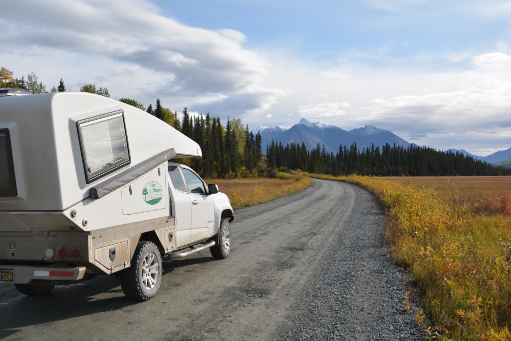
But between us and Valdez was a hard to reach national park, the largest in the US, called Wrangell St. Elias National Park and Preserve (also probably the longest name), the historic town of McCarthy and the ruins of the old Kennecott copper mines at the end of a long bumpy road. In fact, it was this road that we were heading for when Tramp broke down two weeks ago. So here we were again, full of excitement to be extending our travels again, on the road to McCarthy.
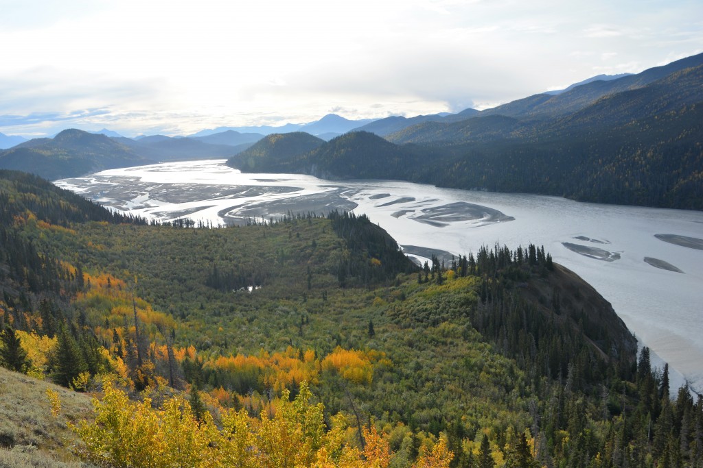
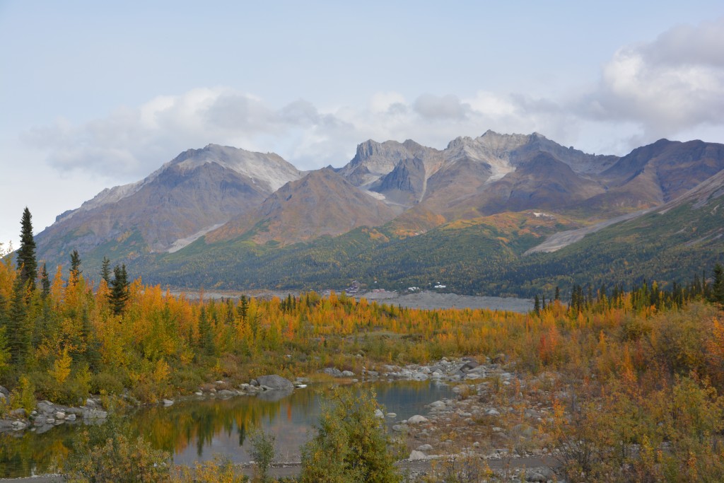
And what a drive it was! A local warned us the potholes were ‘axle breakers’ and someone else warned us ominously to be careful as if there were zombies out there. We didn’t see any zombies and missed some of the potholes but it was all worth it. The first section followed the wide Chitina River, one of the best examples of a braided glacial river we had seen. The mountains soaring above the river were lined in colours, first the yellows of autumn, then the greens of spruce, then greys of granite rock and cliffs, finally the white of freshly fallen snow. We enjoyed all the variations of this rainbow and loved every minute of this drive.
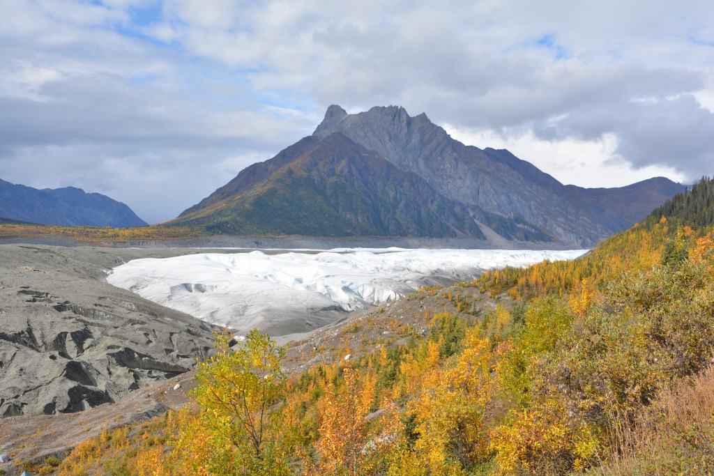
But like many roads in Alaska, this one came to a dead end after 60 miles. We parked Tramp and walked across the footbridge, taking in the great views of the Kennecott and Root Glaciers, and into the small community of McCarthy. McCarthy grew in the late 1890’s as a support community when the nearby Kennecott Mines were founded to exploit the rich copper found in the nearby mountains.
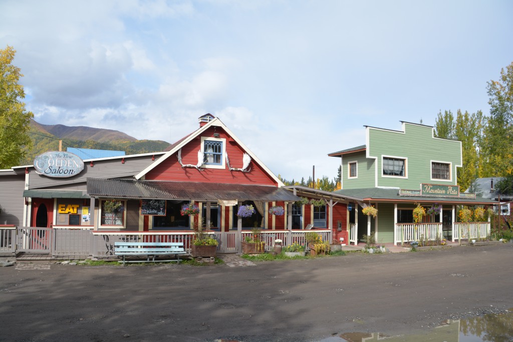
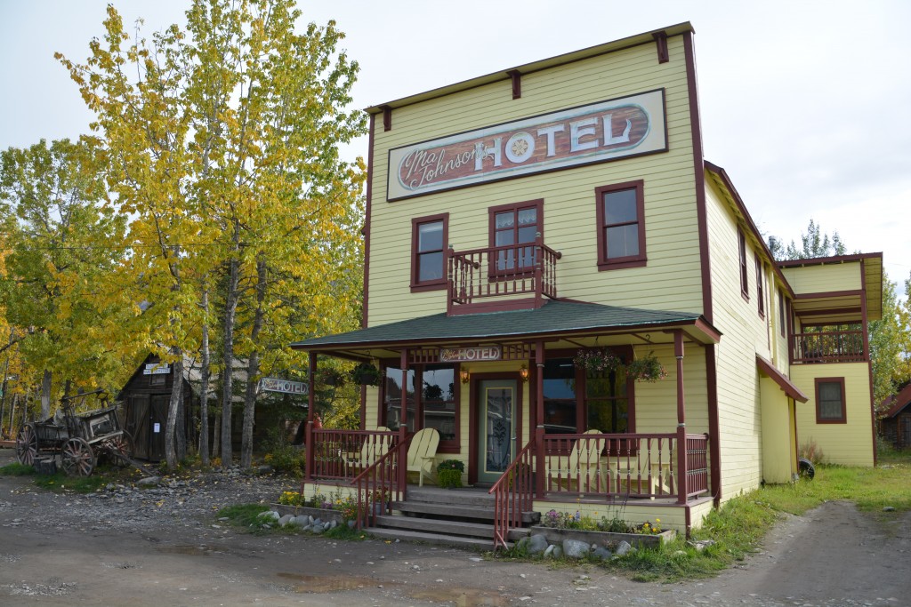
The two main buildings of the small historic community of McCarthy – well preserved for the handful of intrepid travellers who make it back here
Today McCarthy has only a handful of year round residents but in their short summer they feature a number of restored buildings and businesses that give the small stream of intrepid visitors an idea of what life might have been like there 120 years ago. We wandered their streets (well, actually there was only one street) and then caught the shuttle bus up to the Kennecott Mines.
Copper was discovered in these remote mountains in the early 1890’s and a railway was built to the mines to move the locally processed copper to the nearest port. To build this railway through thick forests, over frozen permafrost, across deep chasms and over wide rivers was an unimaginable feat of engineering and perseverance. Within a few years they were shipping copper out to the demanding world and raked in many millions before the copper ran out in 1938. Since then the national park has taken it over and maintained these historic buildings, despite the remote location and fierce winters.
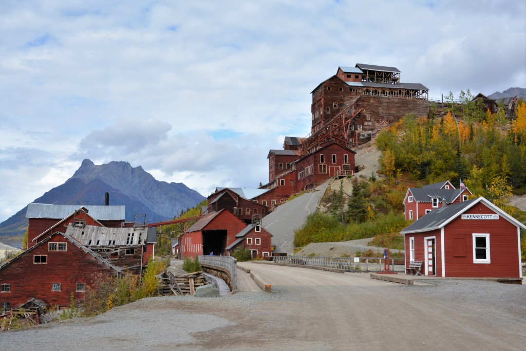
The proudly standing remains of the Kennecott copper mines – full of history and fortune for those who were involved
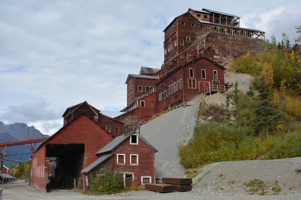
What it must have been like to live and work in such a remote location all those years ago is beyond our grasp
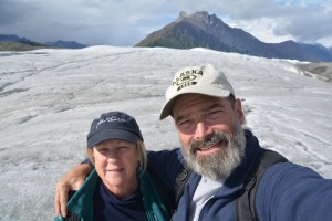
We wandered through the very photogenic old buildings of the mine complex and then following a tip from a local we headed out on a two mile trail to Root Glacier. This was a pretty walk through the forest with its changing colours but we were kept busy by our regular calls for “Hey bear!” just to let them know we were coming. We crossed the fields of gravel moraine and eventually made the base of the glacier, carefully walking up the icy slope until we reached a higher area which gave us views further up the ice.
It was a great treat of travel to be able to walk on a glacier, admire it at a macro level as the gravel-streaked ice snakes its way up the valley but also study it at a micro level, the little rivulets of icy water flowing across the surface, the grit and gravel that has been caught up in the moving ice, the crunchy feeling of walking on an ancient icefield. A moment to remember.
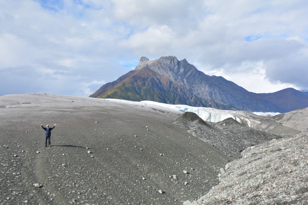
The base of the glacier is covered in gravel and grit which it has churned up over the years from the valley floor
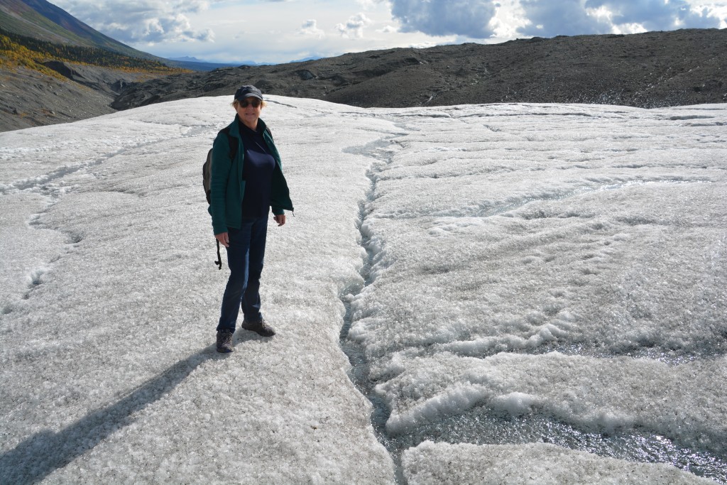
It was fascinating to see life in miniature on the glacier like this little flowing stream across the top of the ice
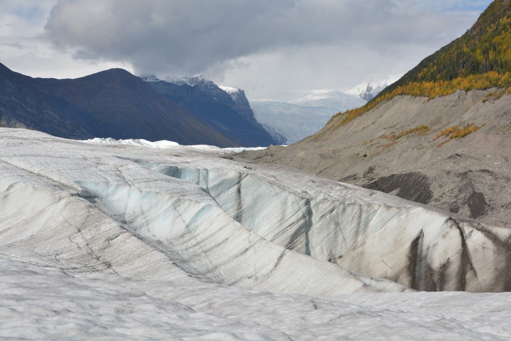
We walked up only on the very front of the glacier – you can see it stretching way back up the valley far beyond our reach
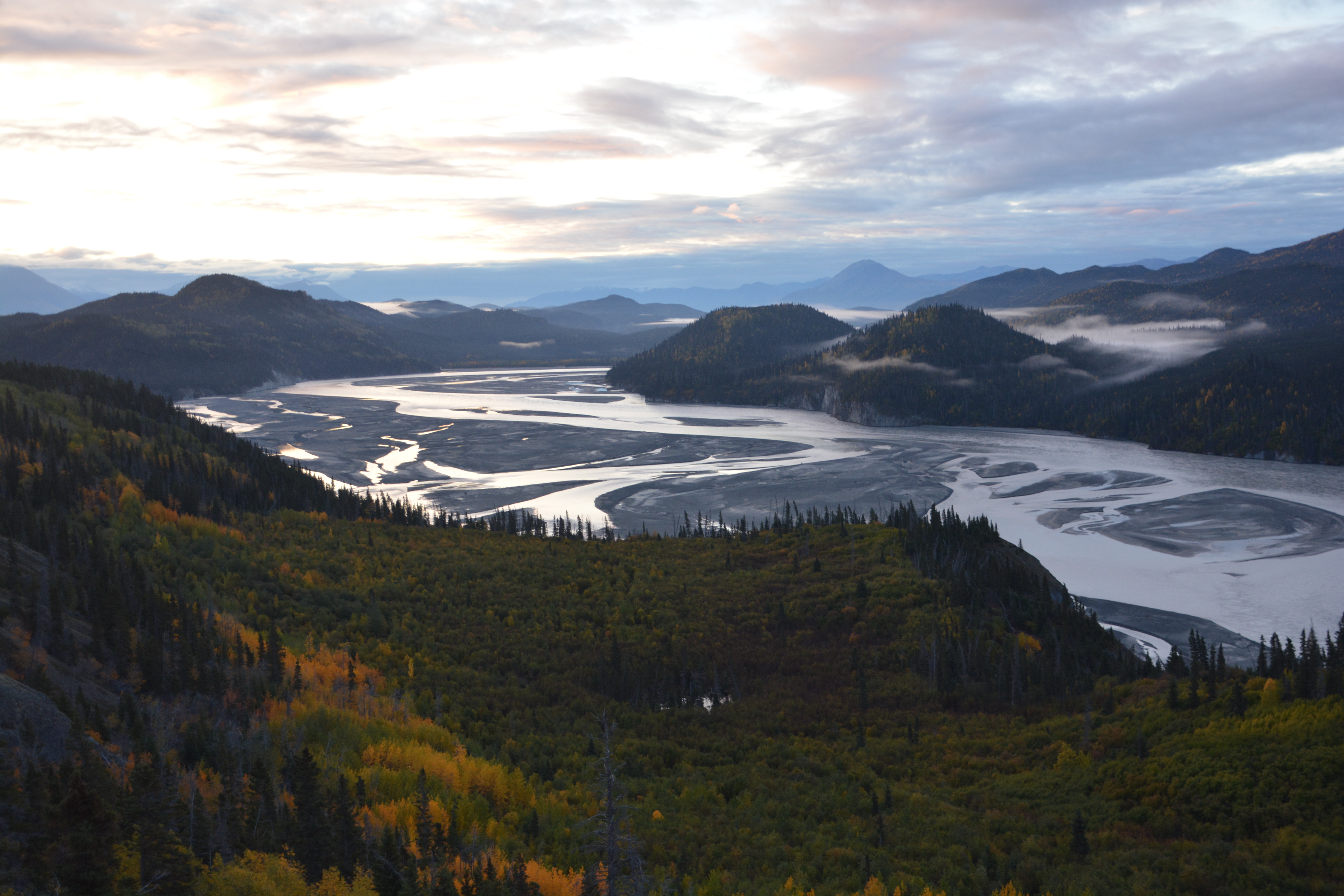
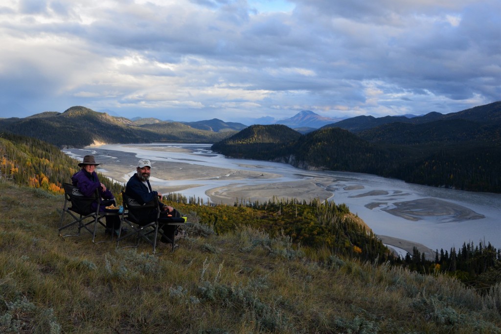
We retraced our steps and that night camped on a bank high above the gorgeous Chitina River with its braids of milky glacier water flowing across its wide river bed. This grand scene of mountains and river was possibly the best campsite we have had on the entire trip. Even mother nature has favourites.
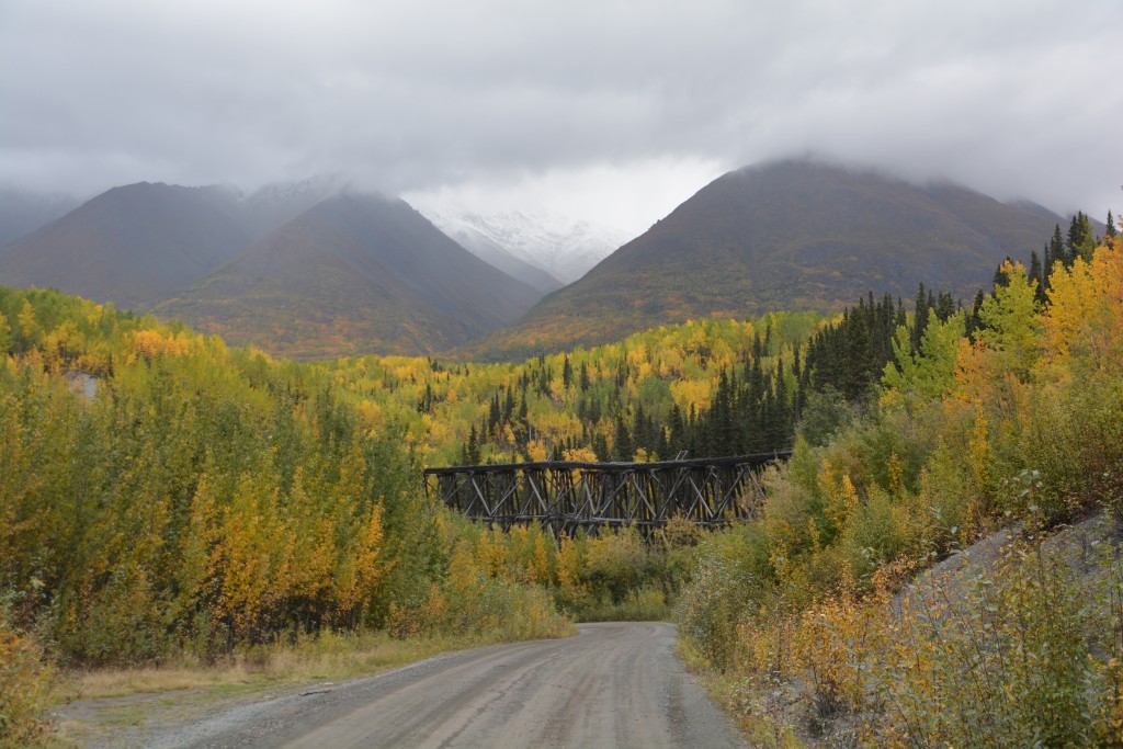
Part of the drive back out of the valley, including good views of this old trestle bridge for the train line that exported the copper
Our next target was Valdez (pronounced Valdeez) which is the deep water port town of southern Alaska. Valdez is known to many for three major reasons – it is the terminus for the 800 mile Alaskan Pipeline, it was completely wiped out by the huge earthquake and tsunami in 1964 and it was the site of the devastating oil spill from the tanker Exxon Valdez in 1989.
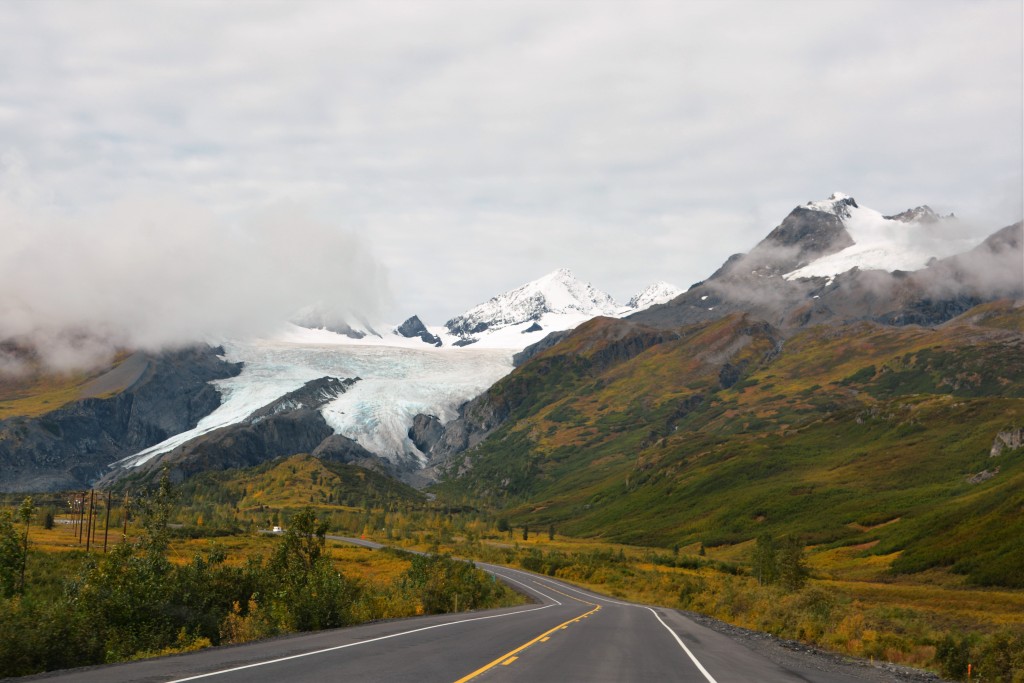
Our drive down to Valdez featured numerous glaciers, some of them coming down almost to the road’s edge
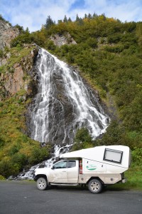
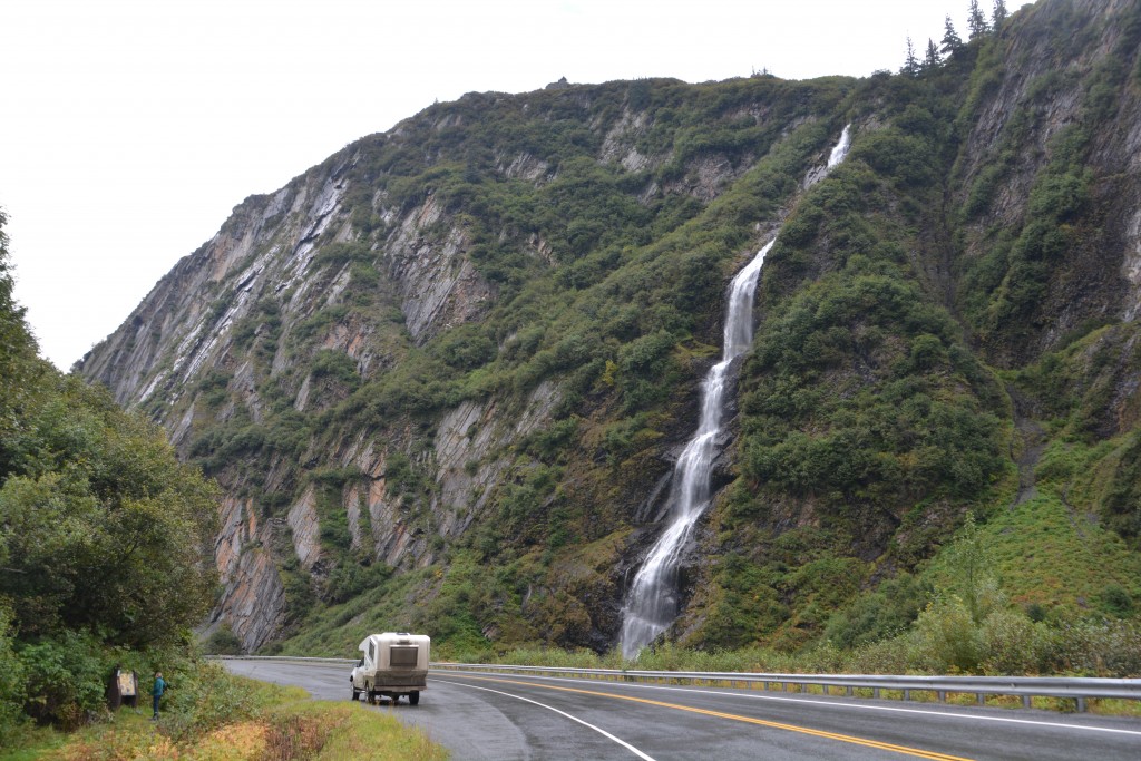
Tramp stopped at many beautiful waterfalls on the road to Valdez, this one was appropriately called Horsetail Falls
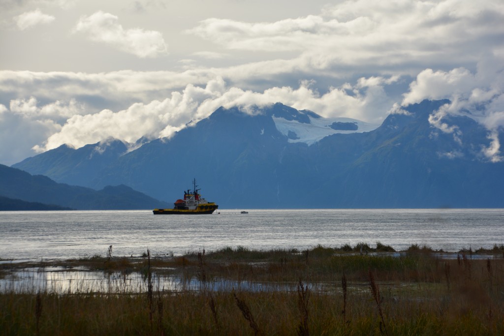
To drive into Valdez is to be treated to one of the jewels of the Alaskan highway system. The road winds its way through high mountains, some capped with fresh snow, while the valleys are marked by fast flowing rivers lined by brightly turning trees. And as we drove south more and more glaciers came into view, some fairly small, others huge fingers of glistening ice carving their way through the granite. The clouds were high enough for us to enjoy the scene as it evolved on every turn.
At one point the highway weaved its way past the terminus of Worthington Glacier and we were able to walk close to this icefield and see it from a different perspective. Then the road sliced through Keystone Canyon, at some stage so narrow the road and small river was all that could fit between the high vertical walls. And everywhere we looked were waterfalls, not just little trickles but huge gushing waterfalls splashing down near the road, creating crooks in our necks from straining to see them all. Great stuff.
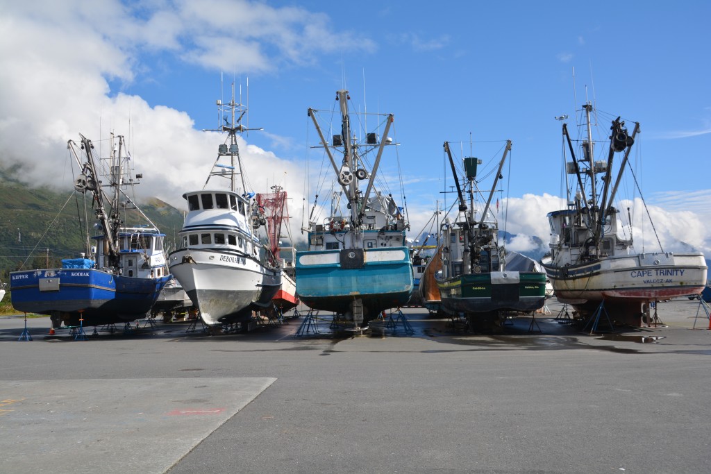
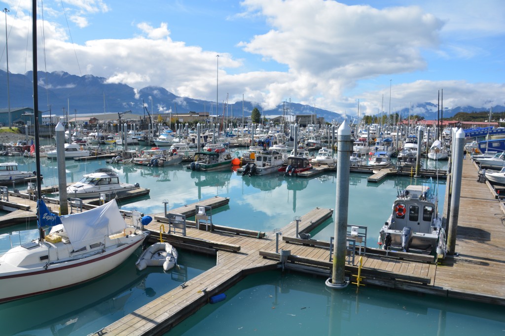
Today the ‘new’ Valdez (after the earthquake and tsunami the town was rebuilt four miles away) is a quiet town of about 4,000 people on a protected inlet of Prince William Sound. It sports a large marina for fishing and pleasure boats and the usual RV parks for fair-weather travellers but otherwise is designed to weather the fierce winters and the incredible 25 feet (almost 8 metres) of snow it receives each winter.
We explored the town, some of which had already closed down now that the main tourist season is over, enjoyed watching locals catch silver salmon from the marina, did some chores and generally tried to get a sense of this town surrounded by mountains and water. At one point we climbed a small hill for a lookout in the centre of town and counted 11 glaciers in view with probably that number again hidden by clouds. Do the locals ever get tired of this stuff?
We dined on salmon that night at the Fat Mermaid while enjoying another round of great Alaskan ales before setting up camp on the site of the original town of Valdez with fabulous views of the harbour lights and mountains all around. We chose a slab of cement surrounded by overgrown bushes and trees which was previously the home of the Ford dealership in town. For some reason we are drawn to campsites at car dealerships.
The next morning the fog was as thick as chowder and we headed out of the Valdez area after driving up to see the Valdez Glacier, which was completely covered in fog and only a couple of small lost icebergs in the grey lake indicated its existence. We retraced our steps through the dramatic Keystone Canyon, up and over Thompson Pass and down into the other side where the clouds had cleared and we had gobsmacking views of the mountains and glaciers.
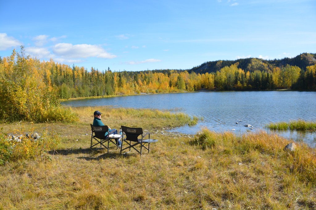
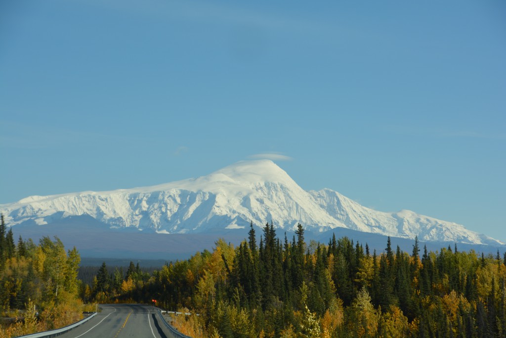
We ended the day rounding the high Wrangell Mountains, some of the highest in north America, glistening in deep snow from the blazing sun and camping in the northern access point to the Wrangell St. Elias National Park near a place called Nabesna. From our camp we had views of our own private glacier and blazed a big fire to ward off the annoying insects and chilling cold. It had been another glorious day of seeing Alaska at its sparkling best and we savoured every moment.
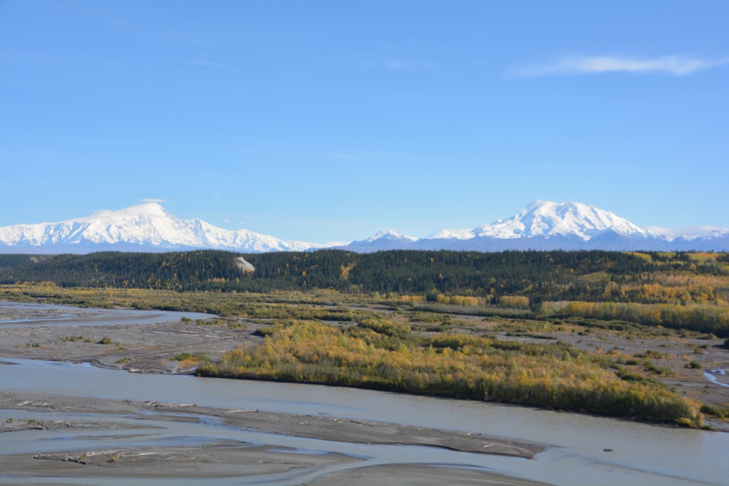
Great views of the Wrangell Mountains on our way up to the northern access point of their huge national park
Love the fall colors! May have not been your original plan, but great to see all the golden trees. The day we drove from McCarthy to Valdez, we had 2 flat tires in one day! Glad you made it down that road this time. Worth it, for sure!
Hi Kathy, two flat tires in one day – that would set you back! We’re loving the colours, much different to what we get back home, but it comes with some fairly ordinary weather. We’ve named a new colour called Canadian Grey. It describes the colour of the sky every day. Look forward to hearing about your recent travels soon! Bill