The Birdsville Track
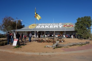
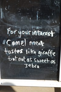
We’ve never camped with 7,000 people before but that’s what we faced when we woke up in the middle of a cow paddock on a cold winter’s morning outside of Birdsville. There was a huge range of campers, trucks, tents, shelters, trailers and every other type of camping paraphernalia spread out all around us as music lovers had come from everywhere to enjoy the festival. Someone said it looked like a refugee camp and that wasn’t far off. It was all a bit much and the best option for us was to pack up camp and head into town to the Birdsville Bakery for a world famous Camel Curry Pie. And that’s exactly what we did.
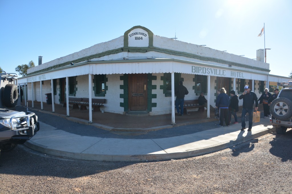
Birdsville is the quintessential Australian outback town, usually home to about 120 people, a refueling stop for the trucks and a thirst quencher at the famous pub for all the parched throats that come through town. Birdsville doesn’t have anything specific to offer the traveller but it’s remote setting, only street, two fuel stations, handful of shops and colourful characters propping up the bar represent all that is good about the outback. Except when the music festival is in town.
We went to the bakery and stood in line for the Camel Curry Pie and other special treats, then visited a few other shops to stock up on supplies and try to imagine what this town would be like without swarms of people everywhere. But the temporary show ground was doing sound checks before the first group hit the stage and people were streaming into town from their various camping locations so it was time to move on. We’ll come back some day when Birdsville is just plain Birdsville.
If you look at a map of Australia you could hardly find a more isolated town than Birdsville. Its main connection with the rest of the country is via a long dirt road heading south to the town of Maree. Today this road is known as the Birdsville Track and is generally driveable by well equipped four wheel drives most of the year. But the track played a very important role in the settlement of outback Australia and its history is rich with stories of exploration, courage, ingenuity, survival and commerce.
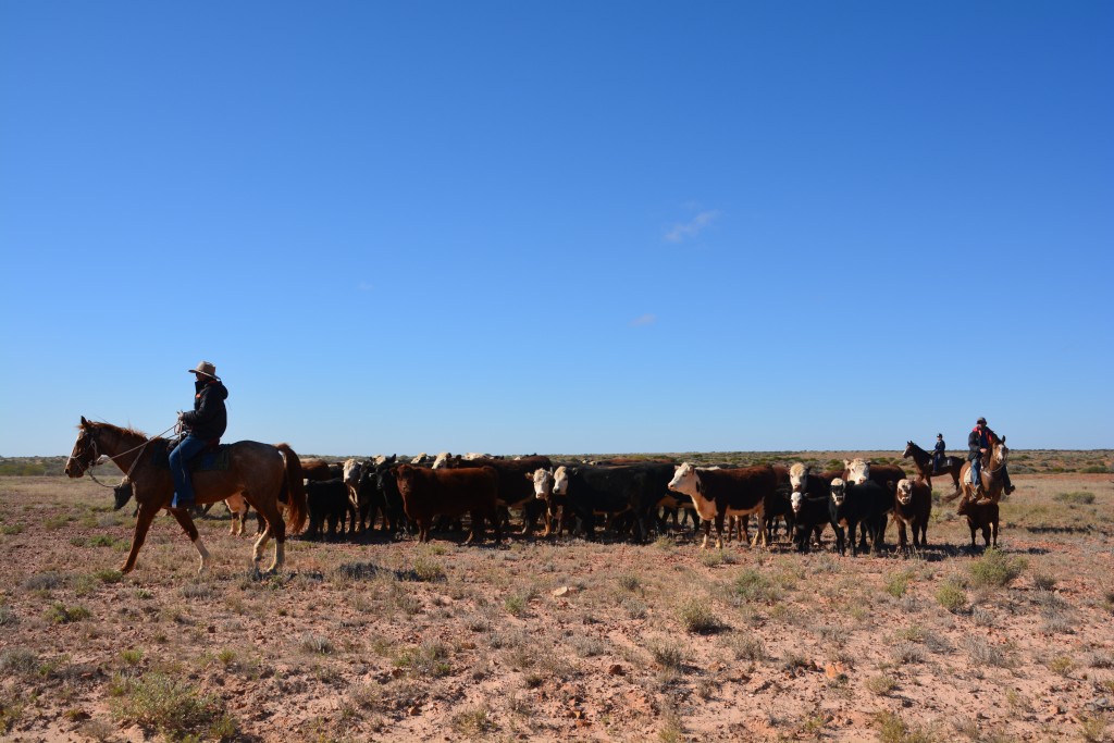
 The track was opened in the 1860’s to drive cattle down from the channel country of Queensland and the Northern Territory to the nearest train head at Maree. This 520 km journey, as difficult as it must have been, was only half the distance of the previous trip to Brisbane. The track crossed three deserts and covered land that rarely got more than 100mm of rain per year. As many cattle died along the way as survived the trip and camel trains were used to carry provisions for the men. Whoever travelled up and down this track must have been made of something special.
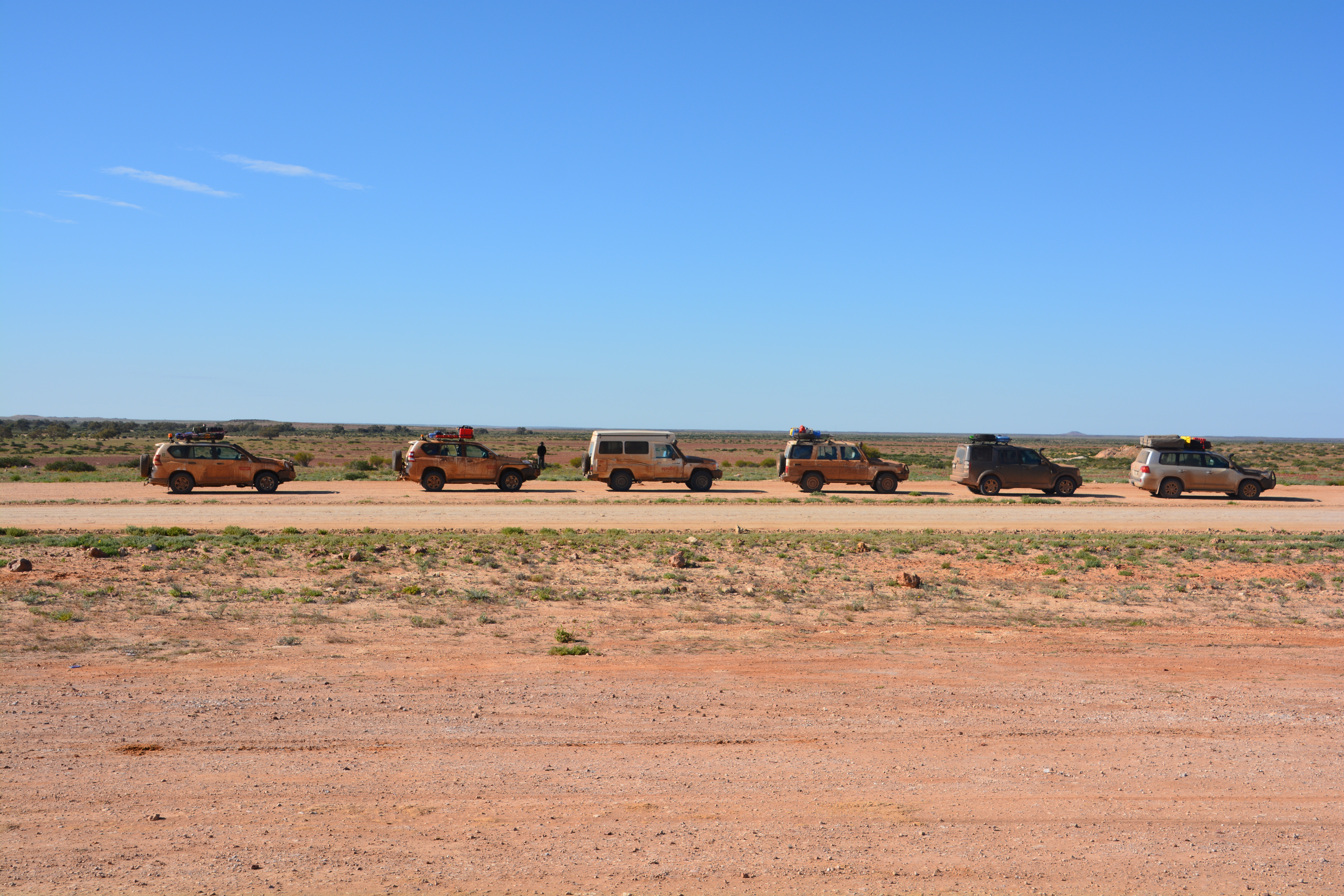
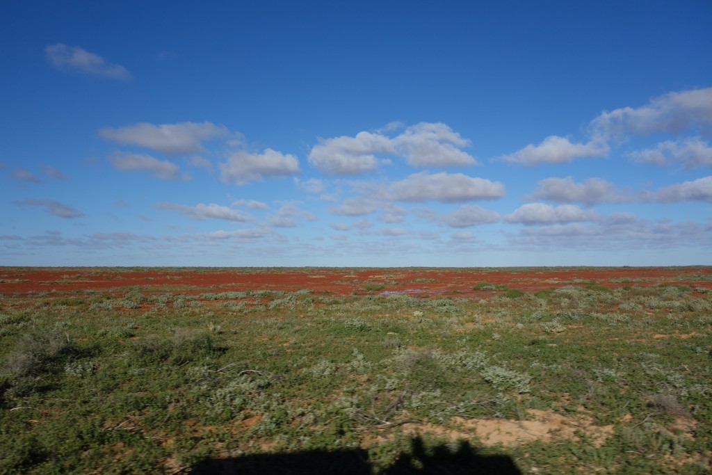
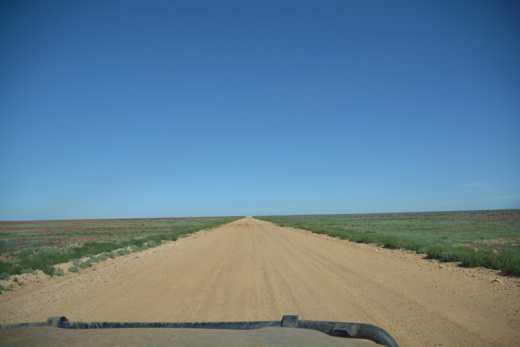
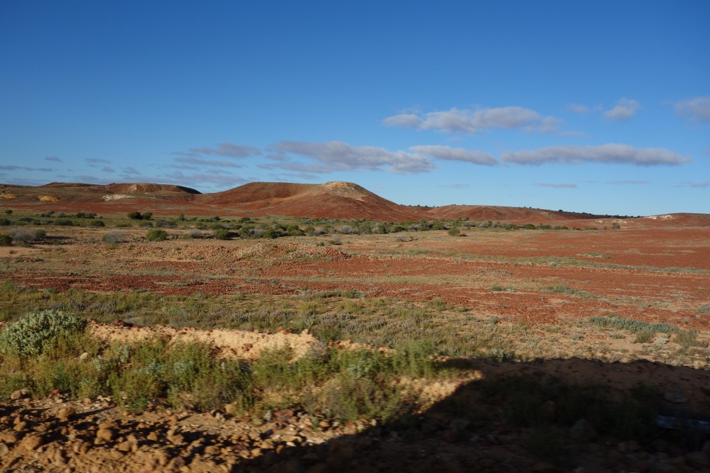
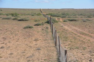
By contrast, we did it in air conditioned trucks. The land was billiard table flat and red rocks covered the surface in all directions. There were occasional green bushes and grasses mixed in due to the recent rain but generally the land was inhospitable and barren, often flooded in low lying areas. In a few spots the track was under water and very muddy – we skidded and slipped and slid our way through the mud holes.
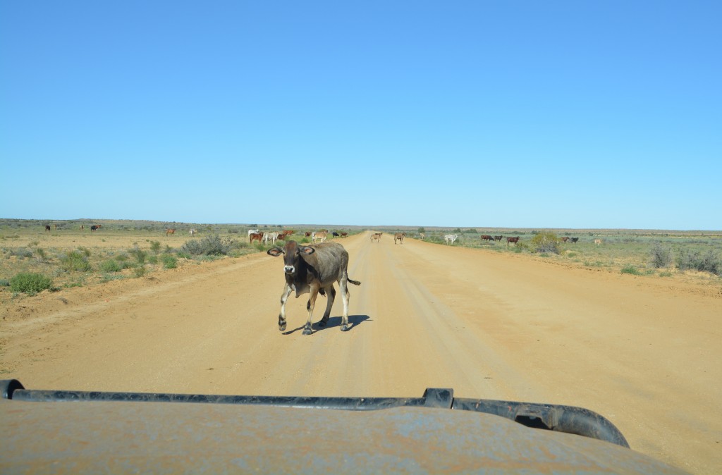
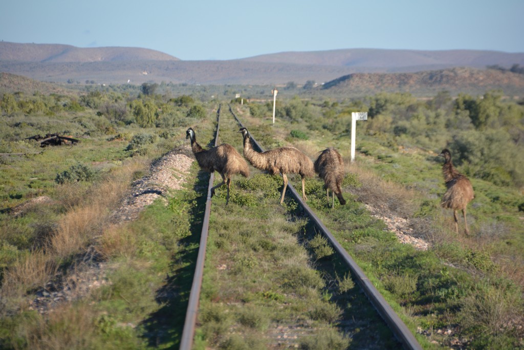
Despite the barren land all around us it had its own beauty, sometimes a sand dune or two would rise and fall off to the side, perhaps a river crossing which would coat our vehicles again in deep red mud as we plowed through, another time a field of green or an old bore pump on the horizon. We saw few cars along the way, had to stop for cattle crossing the track occasionally, maybe a few emus here and there but mostly just long stretches of endless desert. It was spectacular in its own way and we loved it.
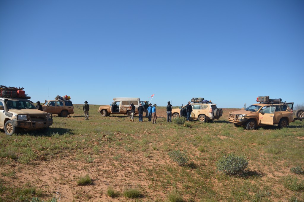
The crackle on the radio was all about finding a toilet stop and, lo and behold, on the horizon loomed a single forlorn tree. We pulled up next to it and declared a rest stop, time to stretch the legs and marvel at the view all around us. As Julie and I have said before, think about where you are on the map.
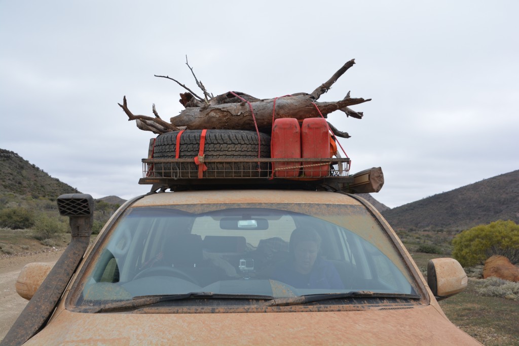
We later found a major dry river crossing where we pulled up for lunch and to collect some precious firewood for the night. We didn’t know where we would be camping that night but we figured firewood would be a scarce commodity. It was in leaving this lunch spot that we had our worst vehicle problem of the whole trip…or should we say that Tom had our worst driver experience of the whole trip.
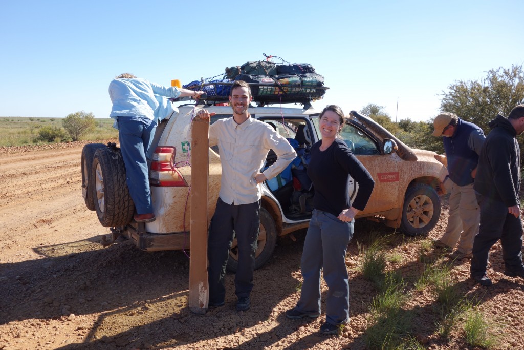
Tom managed to run over a large rock which ripped one of his running boards off – oh well, its a rental
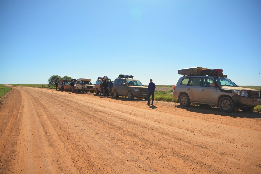
The journey continued southward, ever southward. Sometimes the road would be covered in washboards, making the trucks and their passengers rattle until bolts and fillings threatened to come out. At other times the mud was deep and a bit challenging – no one wanted to be the driver that had to be cinched out of some deep gooey mud. But usually the track was dry and clear and the Cool Convoy made good time across these desert plains.
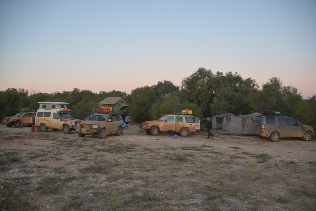
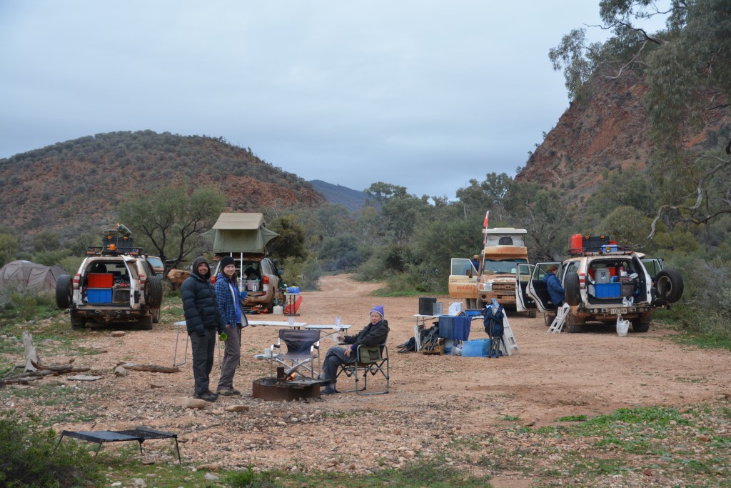
By late afternoon we arrived at the old cattle station of Menangerrie and after some discussion we decided to stop for the night and camp nearby. It was a cold, windy and somewhat charmless place but it had one huge redeeming feature – hot showers. Will and Zach scoured the tree line by the creek that flows from the nearby hot springs for a protected place to camp and we circled the vehicles to create a windbreak for the night. And as almost always is the case, once the sun goes down, the wind drops, the fire picks up and the moon comes out – it was almost perfect.
The next morning was a marquee day because we had our first shower in eight days, washing off a layer of dust and grime that had been building up since Cooper Pedy. Ah yes, Cooper Pedy, an experience in itself with its underground camping and mine tour that seemed to have happened about a year ago.
So with clean skin and full tanks the journey continued south on the Birdsville Track, more long straight stretches covered in red rock desert with the occasional green trim and small water holes. It was a beautiful morning drive across these vast flat plains, eventually crossing the wide Cooper Creek which during those long cattle drives was known as the most hazardous part of the trip. If the river was up many cattle would be washed away or the cattlemen would have to set up camp and wait for the river to fall. Tom Kruse, the legendary bushman from these parts, built a punt which he used to move goods across the river when it was in flood.
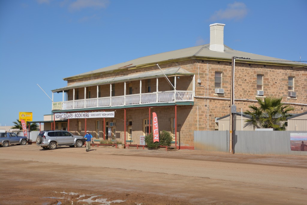
After 200 beautiful kilometres, sometimes running down between small sand dunes, crossing rare dry creek beds, the land sprinkled with salt brush and other scrub stretching to the horizon, we finally came to the historic town of Maree where the Oodnadatta Track and Birdsville Track meet. Maree was the rail head for the drovers who could load their cattle here to be taken to the markets in Port Augusta. For us it was the end of the dirt track – paved road stretched out ahead of us.
While in Maree we debated whether to turn the itinerary on its head and make a dash up the Oodnadatta Track with the hope of being able to drive out to the shores of Lake Eyre and enjoy the rare site of water in the lake which had collected due to the recent heavy rains. In the end on a split vote we decided to stick to the original schedule and push on to Gammon Ranges and Flinders Ranges National Park. Lake Eyre would have to wait until next time.
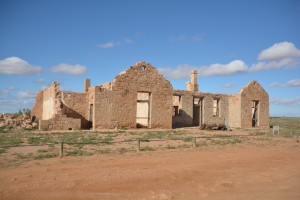
The road south of Maree may have been paved, and both vehicles and passengers certainly appreciated the smooth ride, but it also carried some rich history of this area. We stopped in the historic town of Farina, famous for its original rail head and symbolic starting point into the desert. Today Farina consists of some well-preserved ruins which tell the story of life here in the late 19th century and is now popular with travellers because every day some locals bake bread in the 130 year old underground bakery. This was a perfect excuse for lunch amongst the historic ruins and a chance to reflect on what life must have been like all those years ago.
We then pushed south, restocking our fridge and pantries in the modern mining town of Leigh Creek and then followed a dirt road through 85 kilometres of beautiful rolling hills that glowed with the late afternoon sun. But this stretch of road was hazardous like no other section of our entire trip. Not because of deep water crossings, high sand dunes or sharp gibber stones. This was life and death stuff because of the kangaroos.
Not just a few here and there but kangaroos everywhere, possibly a thousand or more, across all the hills, in all directions, hopping this way or that or just standing sentinel on the road itself. Many would move off as the vehicles approached, others would suddenly cross the road in front of us, some dangerously close to our tires. We would frequently have to almost come to a complete stop to avoid them and it was a miracle none of them were collected along the way.
We made camp in Gammon Ranges National Park at 350 metres, a cold night at 3 degrees but a big fire under a canopy of stars made it all worthwhile. Over the last two days we had travelled the famous Birdsville Track with its harsh desert beauty and wide open plains. We were now aiming for a few days in the mountains before returning to Adelaide and the end of our journey.
