New friends in high places
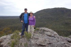
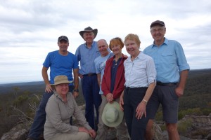
Not lost in the bush – we’re on top of an ancient pagoda called the Venus Tor with Mt. Hay in the background
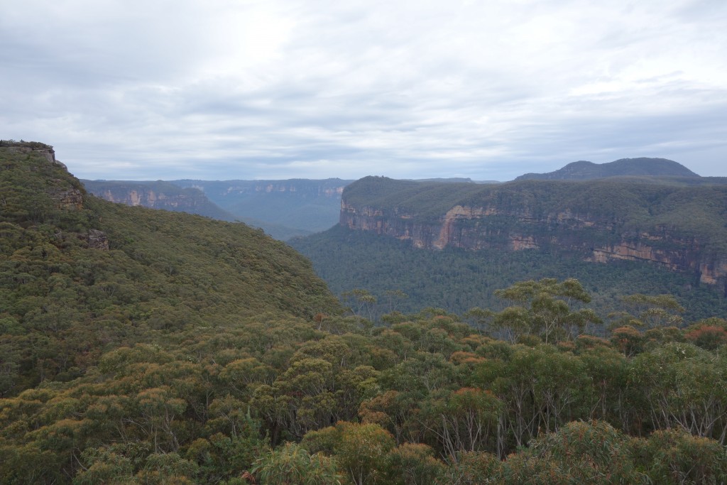
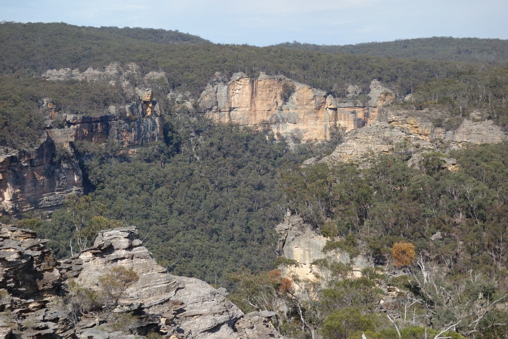
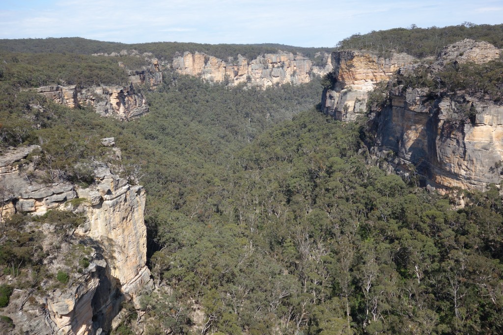
We stood on the edge of the escarpment, staring in wonder at the beautiful Grose Valley that stretched out far below us. The high vertical cliff walls that dramatically marked the valley’s northern and southern boundaries acted as barriers to even this intrepid group of bushwalkers. But our mission for the day was to explore the area around Mt. Hay, a modest rounded mountain of 944 metres that marked the high point on the southern reaches of the Grose Valley. Julie and I were here with new friends, kindred spirits in the pursuit of enjoying the Australian bush in areas that few people visit.
The Upper Blue Mountain Bushwalking Club, or UBMBC to it’s mates, is a club we joined earlier this year to help us get access to new areas in the bush that we otherwise couldn’t or wouldn’t venture into. But in addition to exploring these new areas, and there have been plenty of them, the added bonus has been that we’ve met some fascinating people who share our interests and for the most part live and work in the Blue Mountains.
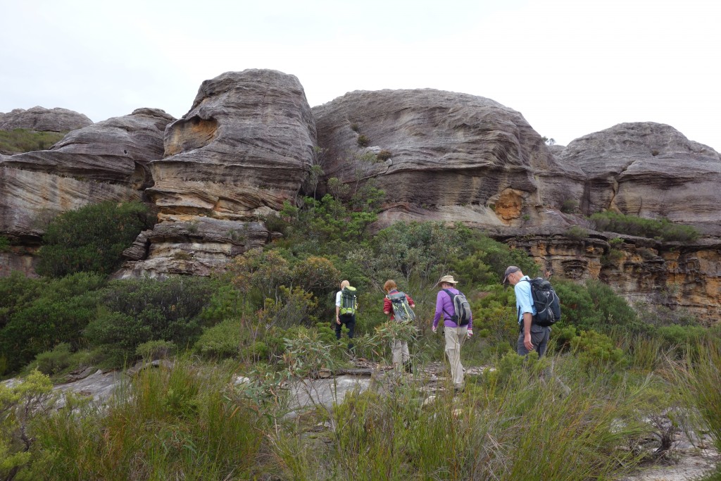
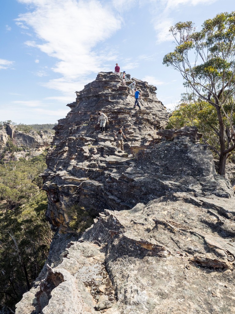
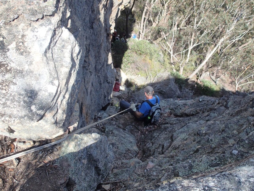
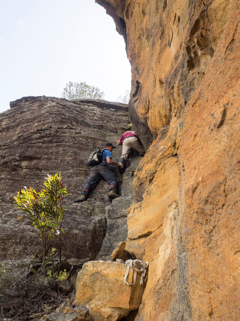
Our recent walk up and over Mt. Hay also included some challenging scrambling over a rock formation called the Boorong Crags and some bushbashing to explore new areas and catch new vistas that very few people ever see.
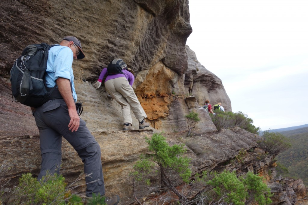
Julie in her familiar purple carefully negotiating a ledge which gave us access to the top of the crags
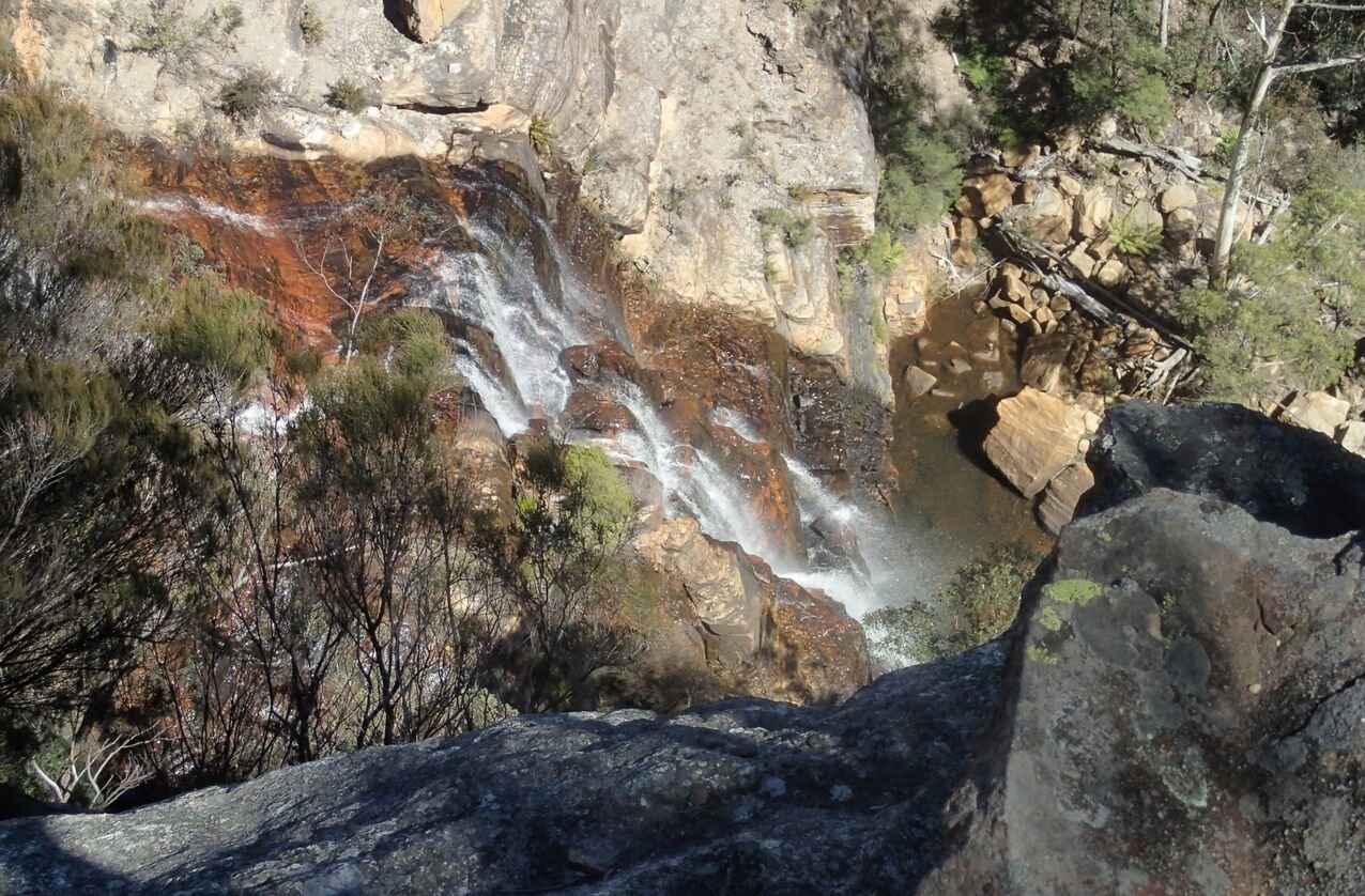
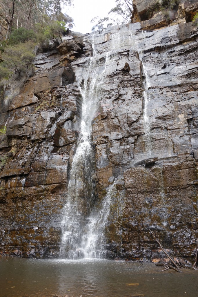
On another occasion the bushwalking club had a more ambitious plan – to explore the steep cliffs above and around hidden Wolgan Falls, and if possible, reach its base. The Wolgan River flows across the Newnes Plateau near our property but at one stage it runs out of land and must fall off the high escarpment before continuing its flow deep in the valley below. This spot – the Wolgan Falls – is in a hidden and largely unknown place in the thick bush, surrounded by magnificent cliff walls, beautiful sandstone pagodas and tall stately gums. A perfect adventure for a hearty subset of the club and I was lucky enough to join them.
As we stepped into the bush we relied mainly on our GPS and our leader’s previous exploration of the area. Our first stop was atop one of the highest pagodas that marked the northern ridge of the river before it dropped off the plateau. From here we had grand views of how the river wound its way through these imposing rock structures and then carved out the valley far below us. How many millions of years this must have taken we could only imagine but the finished product, if we could call it that, was truly breathtaking.
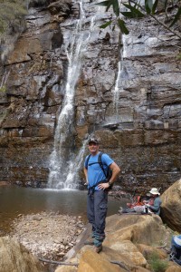
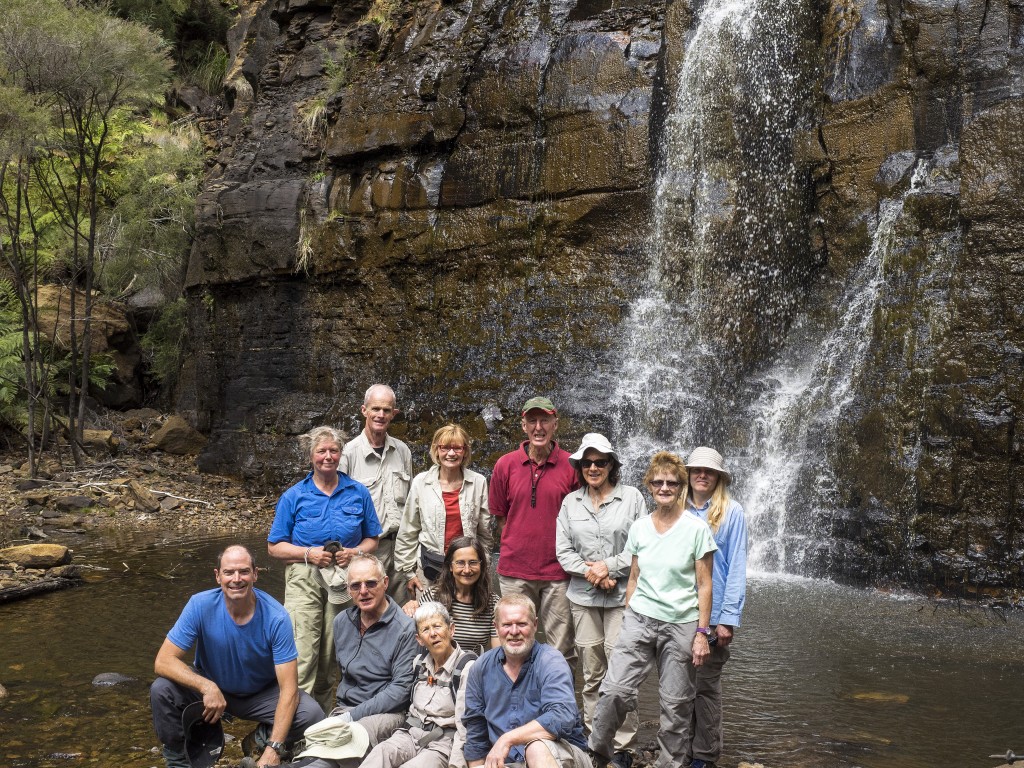
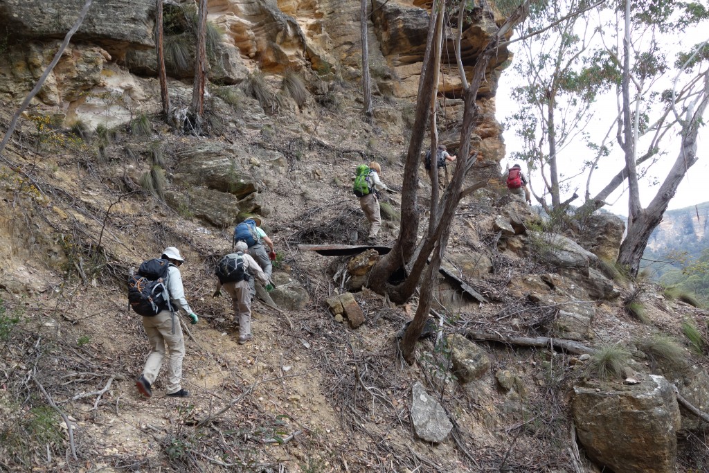
From this high point we dropped down, way down, following a narrow ridge for a while, then dropped off into a gully formed by a small tributary before battling our way through thick almost impenetrable bush. The slope down to the river was very steep and covered in huge fallen trees, large fallen rocks and thick ferns or vines, all of which made it very tough going. Eventually we found a way down and with a bit more scrambling, and more scratches/bruises/tears we finally made the base of the waterfall. What a treat!
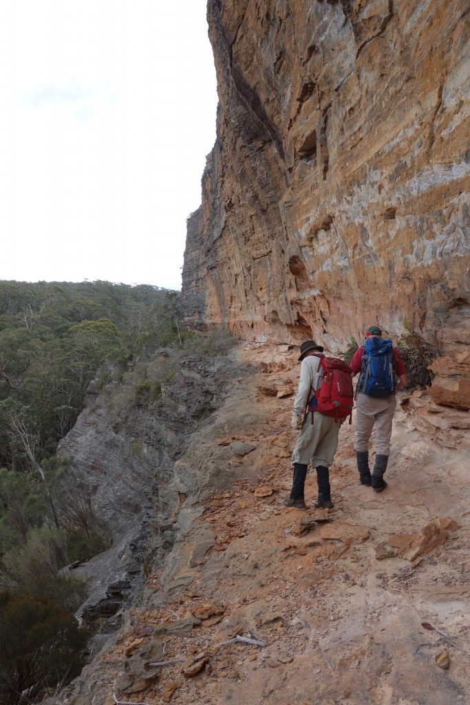
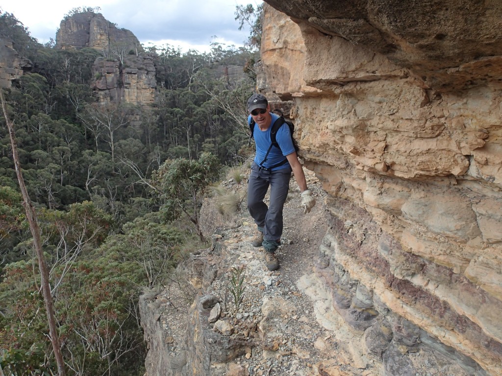
We were able to follow this wider ledge up one of the river’s tributaries which gave us easier access to the bottom
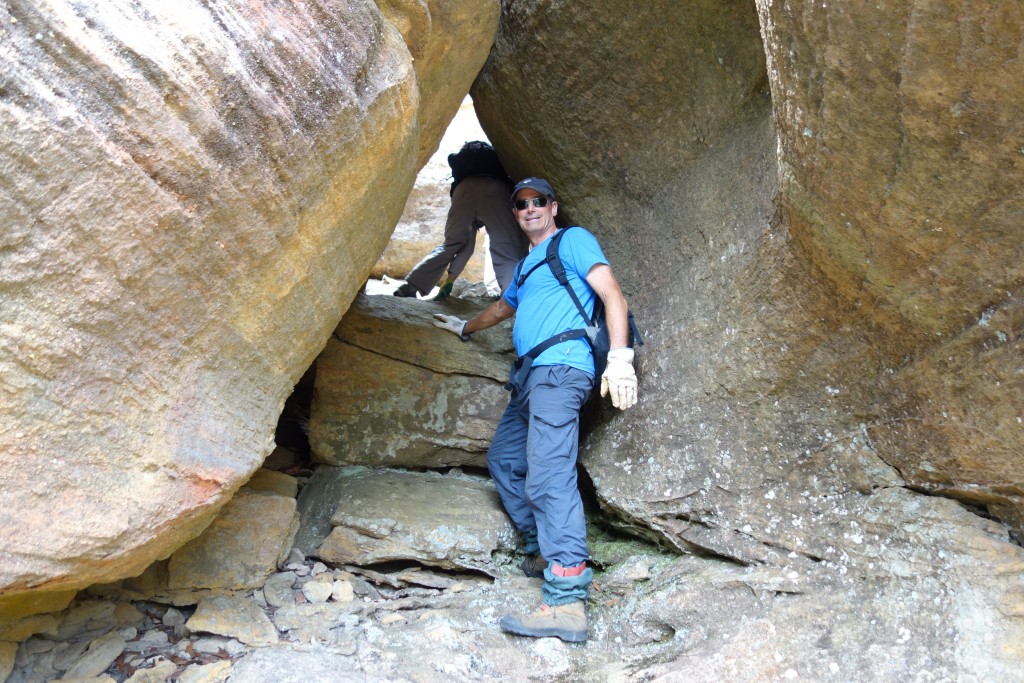
But of course we were only half way through our adventure. After a relaxing lunch and a few photos we started the long climb up the other side of the slope, following the cliff line and eventually finding a little tunnel which allowed us access to the top of the escarpment and a long walk through some beautiful scenery back to our cars. It was a great day through some stunning landscapes, totally exhausting but richly rewarding.
