High cliffs and grand views
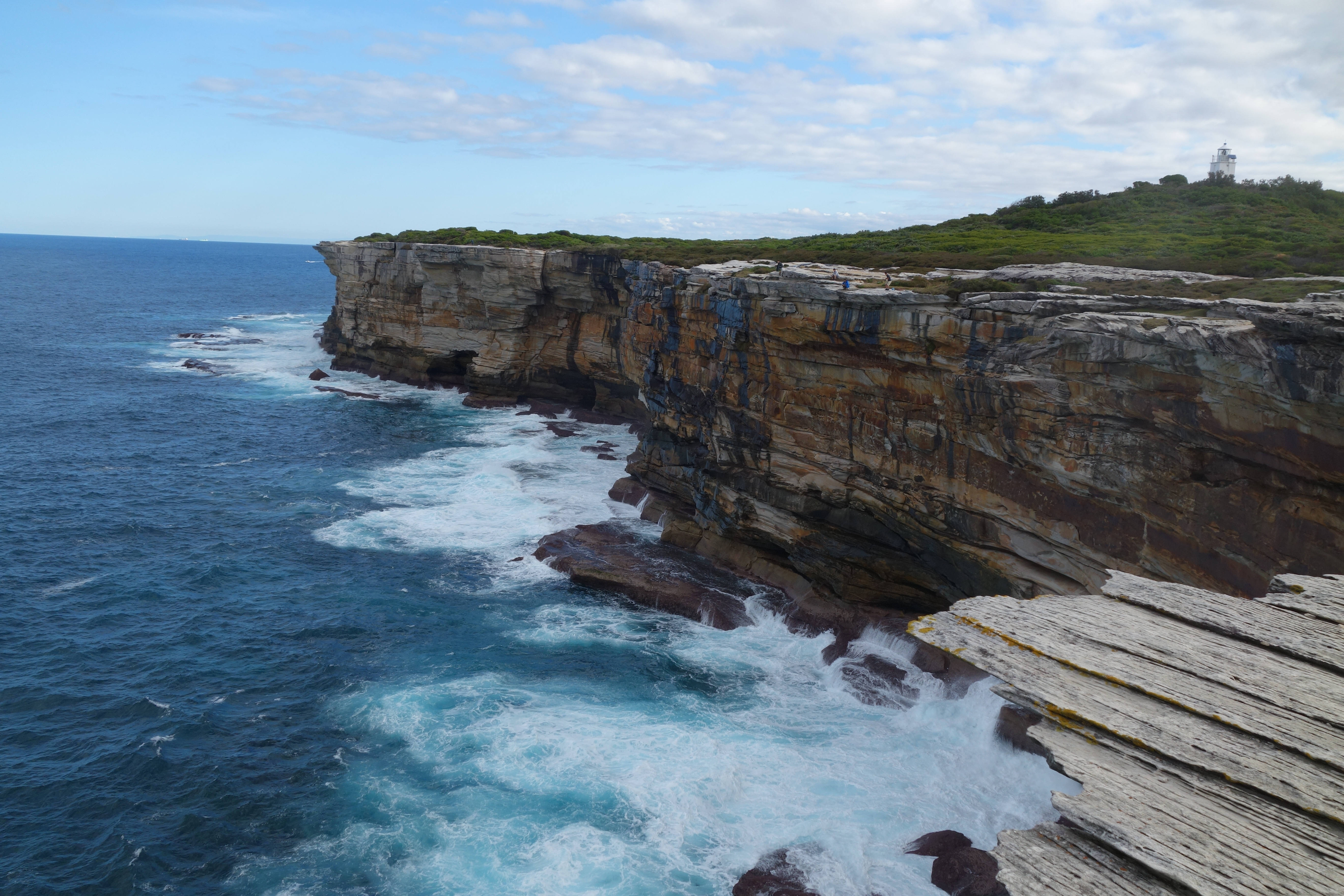
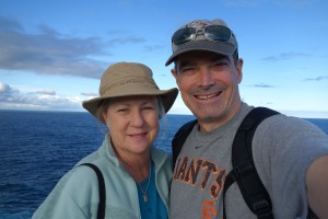
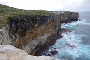
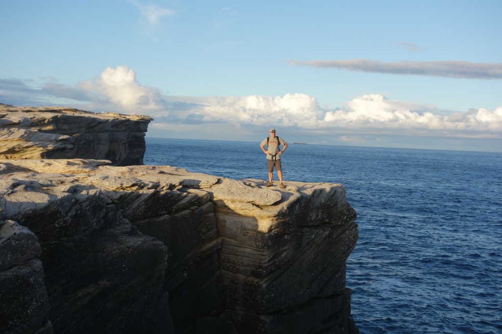
If I had been standing on this point on a fine April morning in 1770 I might have seen Captain James Cook on the bridge of HMS Endeavour as it dropped anchor in preparation of him ‘discovering’ Australia for King George III. With much less historical significance but possibly with more appreciation for the spectacular scene before us, Julie and I stood on the high cliff marking the end of the continent and admire the vast Tasman Sea spread out before us. Captain Cook may be long gone but this magnificent setting of blue skies above huge waves crashing against the immovable rocky cliffs below us will stand forever.
With a rare spare afternoon up our sleeve we jumped in the car and headed out to the southern section of Botany Bay National Park, the protected land that marks the southern and northern headland to historic Botany Bay. When the first fleet arrived 18 years after Captain Cook took his first steps ashore they found the bay long on swamps and short on fresh water. They sailed around the northern headland and into what became Sydney harbour, and the rest is history. Botany Bay has had many faces since then but today is marked by upmarket modern suburbs, beautiful national parks, Australia’s largest airport, busy shipping ports and, yes, oil refineries.
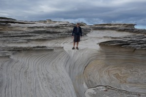
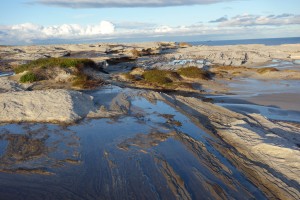
The wind, water and weather had molded the sandstone cliff tops into beautiful patterns, lines and colours
We set our sight on following the dramatic coastline from the southern fringes of the park near the obscure point of Boat Harbour north up the coastline to the Cape Solander car park, an 8 km return walk. We picked a cloudless still day with nary a breeze on a cliff line that can offer suffer howling winds. And except for a few brave (crazy?) fishermen who scrambled down on the rocks far below to cast their long lines out for sport and dinner we were the only ones enjoying the endless scene of raging surf meeting anchored continent.
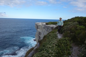
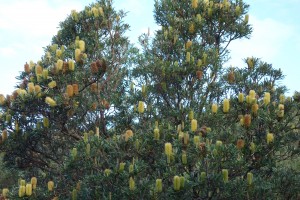
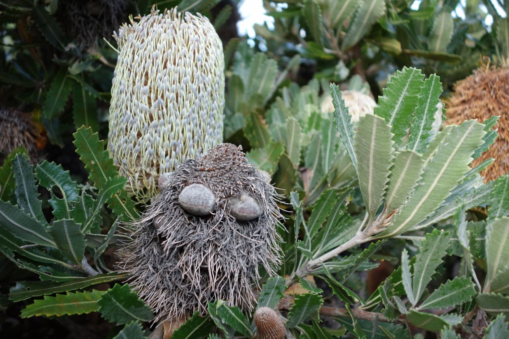
There is a track, of sorts, that follows the coastline but for the most part we followed our nose, hugging the 70 metre high cliff line to take in all the sights and sounds of this glorious scene. The rough rocky top of the cliffs were sculptured by a millennia of wind and weather and formed an unending array of shapes, colours and contours which made the walking both fascinating and somewhat tricky. Occasionally we had to move into the scrub when there was no room to walk and we found a great variety of banksias, bottlebrush, tea-trees and scrubby brush that all proved hardy specimens against the harsh coastal conditions.
The short winter afternoon forced us to turn around just before we made the carpark but in some ways that was for the better, no need to mix with other humans in such a natural and peaceful place. And to think we were only 16 kilometres as the crow flies from downtown Sydney – it’s a great reminder of how Australia has done a superb job of preserving its natural and historic settings, even on million dollar per quarter acre blocks of land.
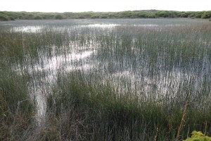
A hanging swamp – water permanently trapped in the sand and rock which grows an ecosystem of its own
The return journey followed the track mainly through the coastal heathland, mostly just windswept bushes and shrubs that can somehow survive these trying conditions. We passed a couple of hanging swamps, where rain water form permanent waterholes that are almost completely overgrown by plants, and climbed up to Cape Bailey Lighthouse which was built in 1950 and is still operational as it warns ships hugging the coastline not to get too close.
All of this on a single afternoon with strong legs, a light camera and a keen interest in breathing clean air and exploring a beautiful new scene. I wonder if Captain Cook had any idea what he was starting.
